Area Sipaliwini District Suriname Isolated Solid Background Georeferenced Bounding Box — Stock Photo, Image

Area of Sipaliwini, district of Suriname, isolated on a solid background in a georeferenced bounding box. Labels. Bilevel elevation map. 3D rendering — Photo

Area of Sipaliwini, district of Suriname, isolated on a solid background in a georeferenced bounding box. Labels. Bilevel elevation map. 3D rendering

 — Photo by Yarr65

Same Series:

Area of Cumbria, administrative county of England, isolated on a solid background in a georeferenced bounding box. Labels. Bilevel elevation map. 3D rendering
Area Cumbria Administrative County England Isolated Solid Background Georeferenced Bounding — Stock Photo, Image
Area of Siemreab, province of Cambodia, isolated on a solid background in a georeferenced bounding box. Labels. Bilevel elevation map. 3D rendering
Area Siemreab Province Cambodia Isolated Solid Background Georeferenced Bounding Box — Stock Photo, Image
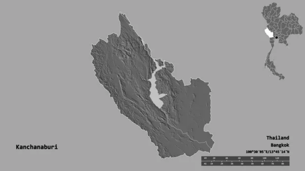
Shape of Kanchanaburi, province of Thailand, with its capital isolated on solid background. Distance scale, region preview and labels. Bilevel elevation map. 3D rendering
Shape Kanchanaburi Province Thailand Its Capital Isolated Solid Background Distance — Stock Photo, Image
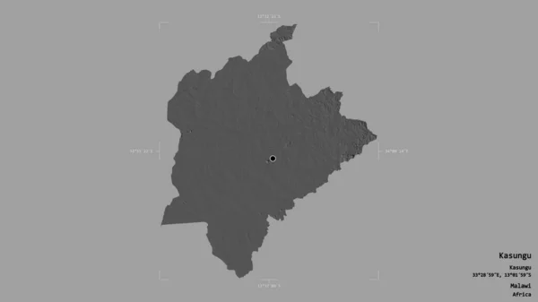
Area of Kasungu, district of Malawi, isolated on a solid background in a georeferenced bounding box. Labels. Bilevel elevation map. 3D rendering
Area Kasungu District Malawi Isolated Solid Background Georeferenced Bounding Box — Stock Photo, Image
Area of Olomoucky, region of Czech Republic, isolated on a solid background in a georeferenced bounding box. Labels. Bilevel elevation map. 3D rendering
Area Olomoucky Region Czech Republic Isolated Solid Background Georeferenced Bounding — Stock Photo, Image
Area of Tokushima, prefecture of Japan, isolated on a solid background in a georeferenced bounding box. Labels. Bilevel elevation map. 3D rendering
Area Tokushima Prefecture Japan Isolated Solid Background Georeferenced Bounding Box — Stock Photo, Image
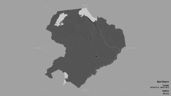
Area of Northern, province of Zambia, isolated on a solid background in a georeferenced bounding box. Labels. Bilevel elevation map. 3D rendering
Area Northern Province Zambia Isolated Solid Background Georeferenced Bounding Box — Stock Photo, Image
Area of Turkana, county of Kenya, isolated on a solid background in a georeferenced bounding box. Labels. Bilevel elevation map. 3D rendering
Area Turkana County Kenya Isolated Solid Background Georeferenced Bounding Box — Stock Photo, Image
Area of Manicaland, province of Zimbabwe, isolated on a solid background in a georeferenced bounding box. Labels. Bilevel elevation map. 3D rendering
Area Manicaland Province Zimbabwe Isolated Solid Background Georeferenced Bounding Box — Stock Photo, Image
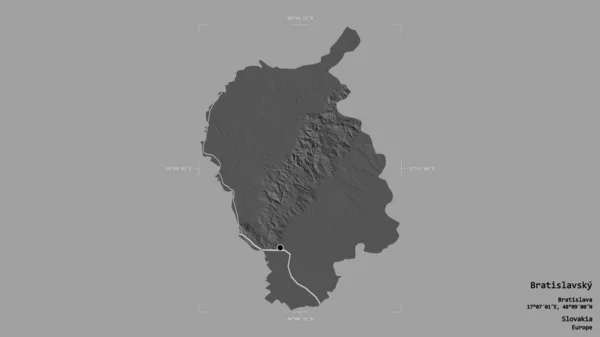
Area of Bratislavsky, region of Slovakia, isolated on a solid background in a georeferenced bounding box. Labels. Bilevel elevation map. 3D rendering
Area Bratislavsky Region Slovakia Isolated Solid Background Georeferenced Bounding Box — Stock Photo, Image
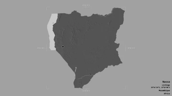
Area of Nassa, province of Mozambique, isolated on a solid background in a georeferenced bounding box. Labels. Bilevel elevation map. 3D rendering
Area Nassa Province Mozambique Isolated Solid Background Georeferenced Bounding Box — Stock Photo, Image
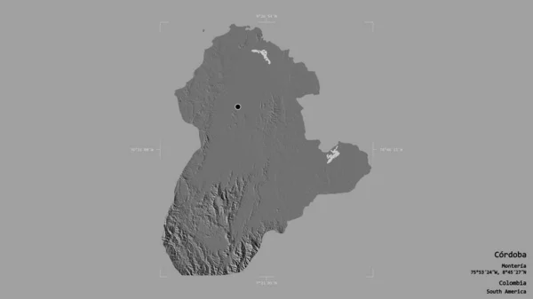
Area of Cordoba, department of Colombia, isolated on a solid background in a georeferenced bounding box. Labels. Bilevel elevation map. 3D rendering
Area Cordoba Department Colombia Isolated Solid Background Georeferenced Bounding Box — Stock Photo, Image
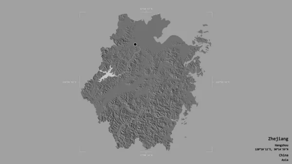
Area of Zhejiang, province of China, isolated on a solid background in a georeferenced bounding box. Labels. Bilevel elevation map. 3D rendering
Area Zhejiang Province China Isolated Solid Background Georeferenced Bounding Box — Stock Photo, Image
Area of Lincolnshire, administrative county of England, isolated on a solid background in a georeferenced bounding box. Labels. Bilevel elevation map. 3D rendering
Area Lincolnshire Administrative County England Isolated Solid Background Georeferenced Bounding — Stock Photo, Image
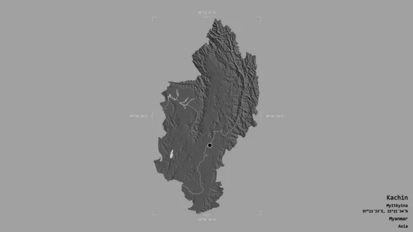
Area of Kachin, state of Myanmar, isolated on a solid background in a georeferenced bounding box. Labels. Bilevel elevation map. 3D rendering
Area Kachin State Myanmar Isolated Solid Background Georeferenced Bounding Box — Stock Photo, Image
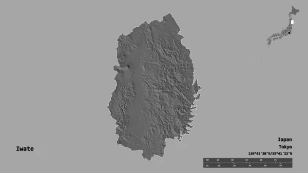
Shape of Iwate, prefecture of Japan, with its capital isolated on solid background. Distance scale, region preview and labels. Bilevel elevation map. 3D rendering
Shape Iwate Prefecture Japan Its Capital Isolated Solid Background Distance — Stock Photo, Image

Usage Information

You can use this royalty-free photo "Area of Sipaliwini, district of Suriname, isolated on a solid background in a georeferenced bounding box. Labels. Bilevel elevation map. 3D rendering" for personal and commercial purposes according to the Standard or Extended License. The Standard License covers most use cases, including advertising, UI designs, and product packaging, and allows up to 500,000 print copies. The Extended License permits all use cases under the Standard License with unlimited print rights and allows you to use the downloaded stock images for merchandise, product resale, or free distribution.

You can buy this stock photo and download it in high resolution up to 2880x1620. Upload Date: Aug 14, 2020