Close Paraguay Border Area Satellite Map Capital Point Glow Country — Stock Photo, Image

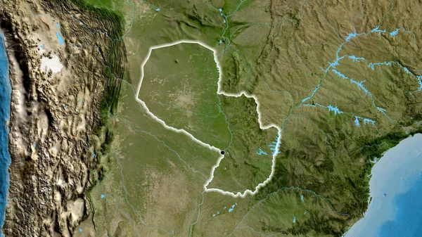
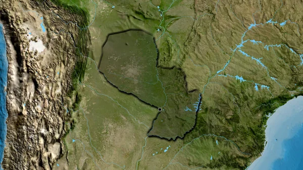
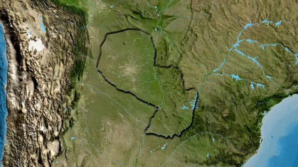
Close-up of the Paraguay border area on a satellite map. Capital point. Glow around the country shape. — Photo

Close-up of the Paraguay border area on a satellite map. Capital point. Glow around the country shape.

 — Photo by zelwanka

Same Series:

Close-up of the Paraguay border area on a satellite map. Capital point. Glow around the country shape.
Close Paraguay Border Area Satellite Map Capital Point Glow Country — Stock Photo, Image
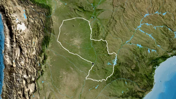
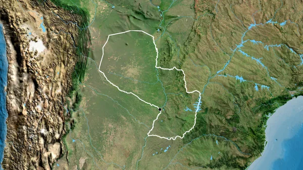
Close-up of the Paraguay border area on a satellite map. Capital point. Outline around the country shape.
Close Paraguay Border Area Satellite Map Capital Point Outline Country — Stock Photo, Image
Close-up of the Paraguay border area on a satellite map. Capital point. Outline around the country shape.
Close Paraguay Border Area Satellite Map Capital Point Outline Country — Stock Photo, Image
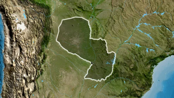
Close-up of the Paraguay border area highlighting with a dark overlay on a satellite map. Capital point. Glow around the country shape.
Close Paraguay Border Area Highlighting Dark Overlay Satellite Map Capital — Stock Photo, Image
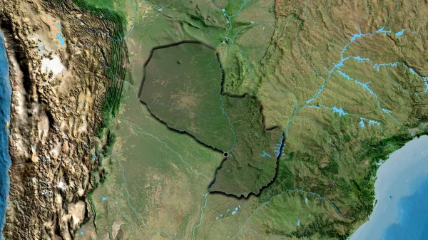
Close-up of the Paraguay border area highlighting with a dark overlay on a satellite map. Capital point. Bevelled edges of the country shape.
Close Paraguay Border Area Highlighting Dark Overlay Satellite Map Capital — Stock Photo, Image
Close-up of the Paraguay border area on a satellite map. Capital point. Outline around the country shape.
Close Paraguay Border Area Satellite Map Capital Point Outline Country — Stock Photo, Image
Close-up of the Paraguay border area highlighting with a dark overlay on a satellite map. Capital point. Bevelled edges of the country shape.
Close Paraguay Border Area Highlighting Dark Overlay Satellite Map Capital — Stock Photo, Image
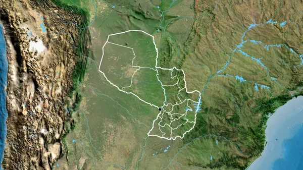
Close-up of the Paraguay border area and its regional borders on a satellite map. Capital point. Outline around the country shape.
Close Paraguay Border Area Its Regional Borders Satellite Map Capital — Stock Photo, Image
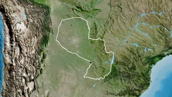
Close-up of the Paraguay border area on a satellite map. Capital point. Bevelled edges of the country shape.
Close Paraguay Border Area Satellite Map Capital Point Bevelled Edges — Stock Photo, Image
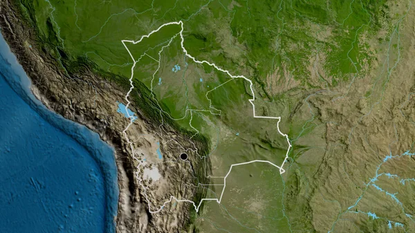
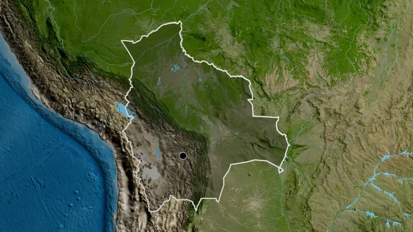
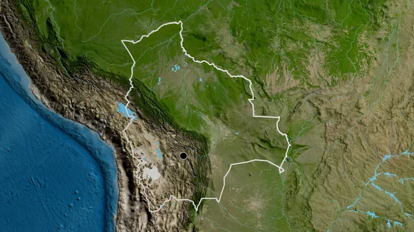
Close-up of the Bolivia border area and its regional borders on a satellite map. Capital point. Outline around the country shape.
Close Bolivia Border Area Its Regional Borders Satellite Map Capital — Stock Photo, Image
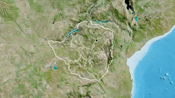
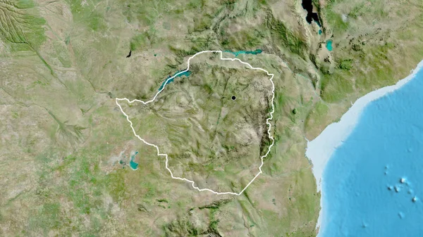
Close-up of the Zimbabwe border area and its regional borders on a satellite map. Capital point. Outline around the country shape.
Close Zimbabwe Border Area Its Regional Borders Satellite Map Capital — Stock Photo, Image
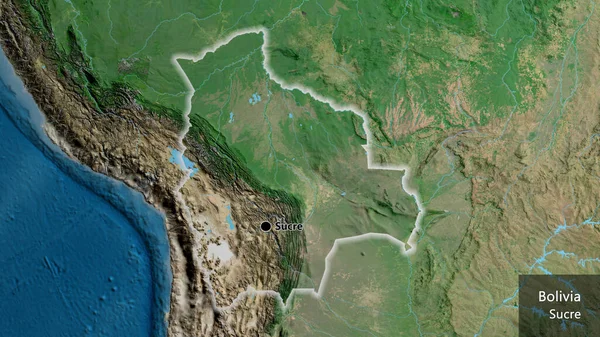
Close-up of the Bolivia border area on a satellite map. Capital point. Glow around the country shape. English name of the country and its capital
Close Bolivia Border Area Satellite Map Capital Point Glow Country — Stock Photo, Image
Close-up of the Bolivia border area highlighting with a dark overlay on a satellite map. Capital point. Outline around the country shape.
Close Bolivia Border Area Highlighting Dark Overlay Satellite Map Capital — Stock Photo, Image
Close-up of the Zimbabwe border area on a satellite map. Capital point. Outline around the country shape.
Close Zimbabwe Border Area Satellite Map Capital Point Outline Country — Stock Photo, Image
Close-up of the Republic of the Congo border area on a satellite map. Capital point. Glow around the country shape.
Close Republic Congo Border Area Satellite Map Capital Point Glow — Stock Photo, Image
Close-up of the Bolivia border area on a satellite map. Capital point. Outline around the country shape.
Close Bolivia Border Area Satellite Map Capital Point Outline Country — Stock Photo, Image

Usage Information

You can use this royalty-free photo "Close-up of the Paraguay border area on a satellite map. Capital point. Glow around the country shape." for personal and commercial purposes according to the Standard or Extended License. The Standard License covers most use cases, including advertising, UI designs, and product packaging, and allows up to 500,000 print copies. The Extended License permits all use cases under the Standard License with unlimited print rights and allows you to use the downloaded stock images for merchandise, product resale, or free distribution.

You can buy this stock photo and download it in high resolution up to 3840x2160. Upload Date: Jul 10, 2023