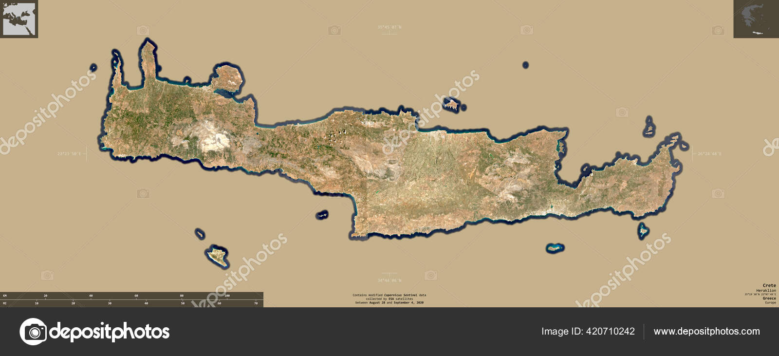
Crete Decentralized Administration Greece Sentinel Satellite Imagery Shape Isolated Solid — Stock Photo, Image

Crete, decentralized administration of Greece. Sentinel-2 satellite imagery. Shape isolated on solid background with informative overlays. Contains modified Copernicus Sentinel data — Photo

Crete, decentralized administration of Greece. Sentinel-2 satellite imagery. Shape isolated on solid background with informative overlays. Contains modified Copernicus Sentinel data

 — Photo by Yarr65

Same Series:

Almaty, region of Kazakhstan. Sentinel-2 satellite imagery. Shape isolated on solid background with informative overlays. Contains modified Copernicus Sentinel data
Almaty Region Kazakhstan Sentinel Satellite Imagery Shape Isolated Solid Background — Stock Photo, Image
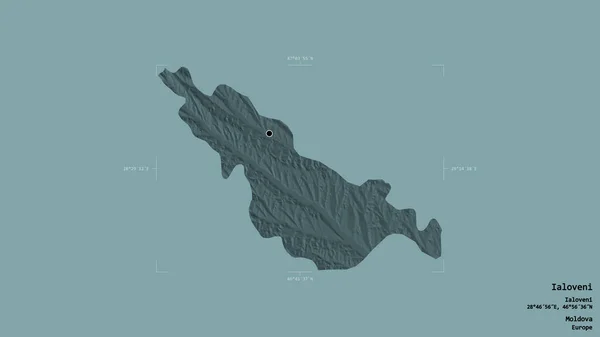
Area of Ialoveni, district of Moldova, isolated on a solid background in a georeferenced bounding box. Labels. Colored elevation map. 3D rendering
Area Ialoveni District Moldova Isolated Solid Background Georeferenced Bounding Box — Stock Photo, Image
Sicily, autonomous region of Italy. Sentinel-2 satellite imagery. Shape isolated on solid background with informative overlays
Sicily Autonomous Region Italy Sentinel Satellite Imagery Shape Isolated Solid — Stock Photo, Image
Los Rios, region of Chile. Sentinel-2 satellite imagery. Shape isolated on solid background with informative overlays. Contains modified Copernicus Sentinel data
Los Rios Region Chile Sentinel Satellite Imagery Shape Isolated Solid — Stock Photo, Image
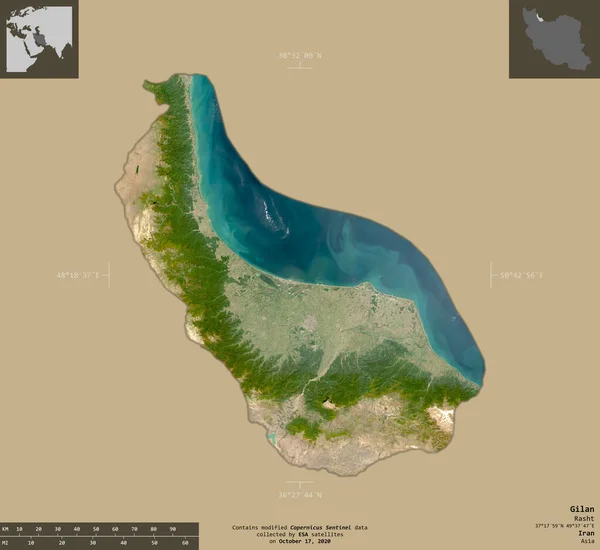
Gilan, province of Iran. Sentinel-2 satellite imagery. Shape isolated on solid background with informative overlays. Contains modified Copernicus Sentinel data
Gilan Province Iran Sentinel Satellite Imagery Shape Isolated Solid Background — Stock Photo, Image
San Pedro de Macoris, province of Dominican Republic. Patterned solids with lakes and rivers. Shape presented against its country area with informative overlays. 3D rendering
San Pedro Macoris Province Dominican Republic Patterned Solids Lakes Rivers — Stock Photo, Image
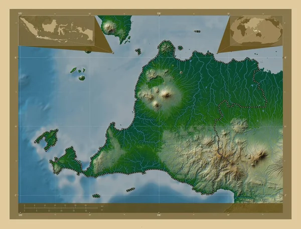
Banten, province of Indonesia. Colored elevation map with lakes and rivers. Corner auxiliary location maps
Banten Province Indonesia Colored Elevation Map Lakes Rivers Corner Auxiliary — Stock Photo, Image
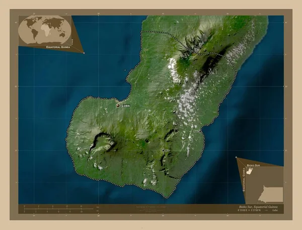
Bioko Sur, province of Equatorial Guinea. Low resolution satellite map. Locations and names of major cities of the region. Corner auxiliary location maps
Bioko Sur Province Equatorial Guinea Low Resolution Satellite Map Locations — Stock Photo, Image
Shape of Mandera, county of Kenya, with its capital isolated on a solid color background. Satellite imagery. 3D rendering
Shape Mandera County Kenya Its Capital Isolated Solid Color Background — Stock Photo, Image
Baja California Sur, state of Mexico. Sentinel-2 satellite imagery. Shape isolated on solid background with informative overlays. Contains modified Copernicus Sentinel data
Baja California Sur State Mexico Sentinel Satellite Imagery Shape Isolated — Stock Photo, Image
Shape of North Aegean, decentralized administration of Greece, with its capital isolated on white background. Topographic relief map. 3D rendering
Shape North Aegean Decentralized Administration Greece Its Capital Isolated White — Stock Photo, Image
Shape of Attica, decentralized administration of Greece, and its capital. Distance scale, previews and labels. Satellite imagery. 3D rendering
Shape Attica Decentralized Administration Greece Its Capital Distance Scale Previews — Stock Photo, Image
South Aegean, decentralized administration of Greece. Elevation map colored in wiki style with lakes and rivers. Locations and names of major cities of the region. Corner auxiliary location maps
South Aegean Decentralized Administration Greece Elevation Map Colored Wiki Style — Stock Photo, Image
Shape of South East, region of United Kingdom, with its capital isolated on solid background. Distance scale, region preview and labels. Satellite imagery. 3D rendering
Shape South East Region United Kingdom Its Capital Isolated Solid — Stock Photo, Image
Area of Geita, region of Tanzania, isolated on a solid background in a georeferenced bounding box. Labels. Colored elevation map. 3D rendering
Area Geita Region Tanzania Isolated Solid Background Georeferenced Bounding Box — Stock Photo, Image
Area of Monastir, governorate of Tunisia, isolated on a solid background in a georeferenced bounding box. Labels. Colored elevation map. 3D rendering
Area Monastir Governorate Tunisia Isolated Solid Background Georeferenced Bounding Box — Stock Photo, Image

Usage Information

You can use this royalty-free photo "Crete, decentralized administration of Greece. Sentinel-2 satellite imagery. Shape isolated on solid background with informative overlays. Contains modified Copernicus Sentinel data" for personal and commercial purposes according to the Standard or Extended License. The Standard License covers most use cases, including advertising, UI designs, and product packaging, and allows up to 500,000 print copies. The Extended License permits all use cases under the Standard License with unlimited print rights and allows you to use the downloaded stock images for merchandise, product resale, or free distribution.

You can buy this stock photo and download it in high resolution up to 5033x1986. Upload Date: Oct 23, 2020