Cuvette Ouest Region Republic Congo Elevation Map Colored Sepia Tones — Stock Photo, Image

Cuvette-Ouest, region of Republic of Congo. Elevation map colored in sepia tones with lakes and rivers. Corner auxiliary location maps — Photo

Cuvette-Ouest, region of Republic of Congo. Elevation map colored in sepia tones with lakes and rivers. Corner auxiliary location maps

 — Photo by Yarr65

Same Series:

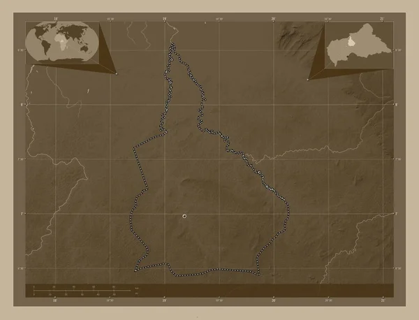
Nana-Grebizi, economic prefecture of Central African Republic. Elevation map colored in sepia tones with lakes and rivers. Corner auxiliary location maps
Nana Grebizi Economic Prefecture Central African Republic Elevation Map Colored — Stock Photo, Image
Preah Vihear, province of Cambodia. Elevation map colored in sepia tones with lakes and rivers. Corner auxiliary location maps
Preah Vihear Province Cambodia Elevation Map Colored Sepia Tones Lakes — Stock Photo, Image
Wajir, county of Kenya. Elevation map colored in sepia tones with lakes and rivers. Locations of major cities of the region. Corner auxiliary location maps
Wajir County Kenya Elevation Map Colored Sepia Tones Lakes Rivers — Stock Photo, Image
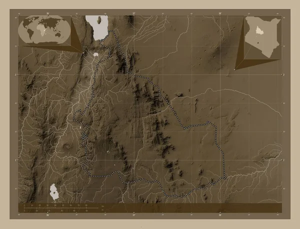
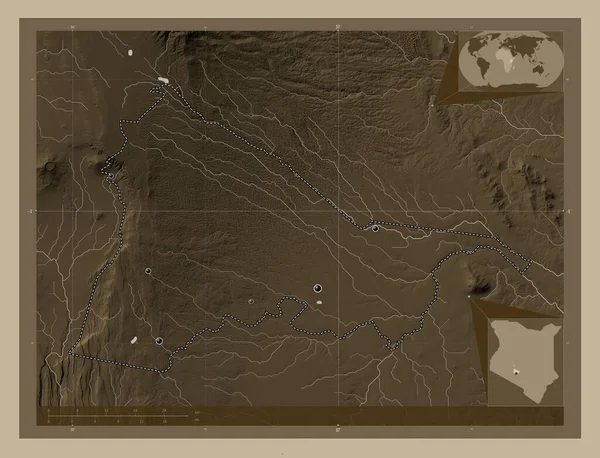
Samburu, county of Kenya. Elevation map colored in sepia tones with lakes and rivers. Corner auxiliary location maps
Samburu County Kenya Elevation Map Colored Sepia Tones Lakes Rivers — Stock Photo, Image
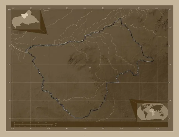
Bamingui-Bangoran, prefecture of Central African Republic. Elevation map colored in sepia tones with lakes and rivers. Locations of major cities of the region. Corner auxiliary location maps
Bamingui Bangoran Prefecture Central African Republic Elevation Map Colored Sepia — Stock Photo, Image
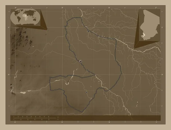
Mayo-Kebbi Est, region of Chad. Elevation map colored in sepia tones with lakes and rivers. Locations of major cities of the region. Corner auxiliary location maps
Mayo Kebbi Est Region Chad Elevation Map Colored Sepia Tones — Stock Photo, Image
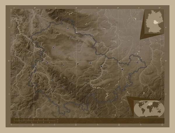
Thuringen, state of Germany. Elevation map colored in sepia tones with lakes and rivers. Locations of major cities of the region. Corner auxiliary location maps
Thuringen State Germany Elevation Map Colored Sepia Tones Lakes Rivers — Stock Photo, Image
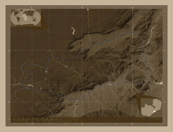
Lusaka, province of Zambia. Elevation map colored in sepia tones with lakes and rivers. Locations of major cities of the region. Corner auxiliary location maps
Lusaka Province Zambia Elevation Map Colored Sepia Tones Lakes Rivers — Stock Photo, Image
Al Jufrah, district of Libya. Elevation map colored in sepia tones with lakes and rivers. Locations of major cities of the region. Corner auxiliary location maps
Jufrah District Libya Elevation Map Colored Sepia Tones Lakes Rivers — Stock Photo, Image
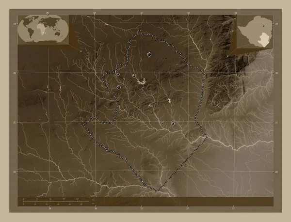
Masvingo, province of Zimbabwe. Elevation map colored in sepia tones with lakes and rivers. Locations of major cities of the region. Corner auxiliary location maps
Masvingo Province Zimbabwe Elevation Map Colored Sepia Tones Lakes Rivers — Stock Photo, Image
Kiambu, county of Kenya. Elevation map colored in sepia tones with lakes and rivers. Locations of major cities of the region. Corner auxiliary location maps
Kiambu County Kenya Elevation Map Colored Sepia Tones Lakes Rivers — Stock Photo, Image
Haut-Uele, province of Democratic Republic of the Congo. Elevation map colored in sepia tones with lakes and rivers. Corner auxiliary location maps
Haut Uele Province Democratic Republic Congo Elevation Map Colored Sepia — Stock Photo, Image
Logone Oriental, region of Chad. Elevation map colored in sepia tones with lakes and rivers. Locations of major cities of the region. Corner auxiliary location maps
Logone Oriental Region Chad Elevation Map Colored Sepia Tones Lakes — Stock Photo, Image
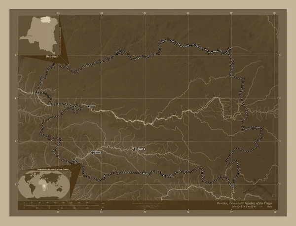
Bas-Uele, province of Democratic Republic of the Congo. Elevation map colored in sepia tones with lakes and rivers. Locations and names of major cities of the region. Corner auxiliary location maps
Bas Uele Province Democratic Republic Congo Elevation Map Colored Sepia — Stock Photo, Image
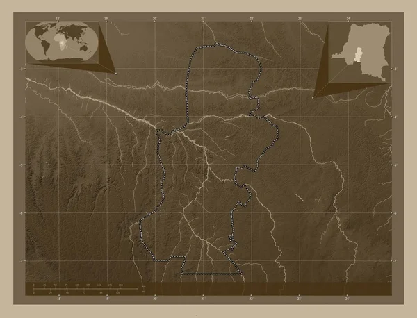
Kasai, province of Democratic Republic of the Congo. Elevation map colored in sepia tones with lakes and rivers. Corner auxiliary location maps
Kasai Province Democratic Republic Congo Elevation Map Colored Sepia Tones — Stock Photo, Image

Usage Information

You can use this royalty-free photo "Cuvette-Ouest, region of Republic of Congo. Elevation map colored in sepia tones with lakes and rivers. Corner auxiliary location maps" for personal and commercial purposes according to the Standard or Extended License. The Standard License covers most use cases, including advertising, UI designs, and product packaging, and allows up to 500,000 print copies. The Extended License permits all use cases under the Standard License with unlimited print rights and allows you to use the downloaded stock images for merchandise, product resale, or free distribution.

You can buy this stock photo and download it in high resolution up to 4930x3770. Upload Date: Sep 28, 2022