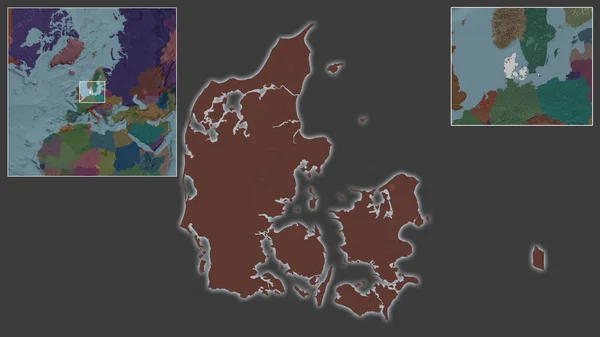
Denmark Area Grayscale Elevation Map Stereographic Projection Raw Composition Raster — Stock Photo, Image

Denmark area on the grayscale elevation map in the stereographic projection - raw composition of raster layers with light glowing outline — Photo

Denmark area on the grayscale elevation map in the stereographic projection - raw composition of raster layers with light glowing outline

 — Photo by Yarr65

Same Series:

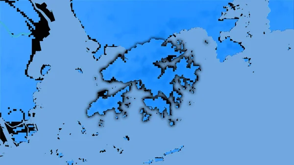
Hong Kong area on the annual precipitation map in the stereographic projection - raw composition of raster layers with dark glowing outline
Hong Kong Area Annual Precipitation Map Stereographic Projection Raw Composition — Stock Photo, Image
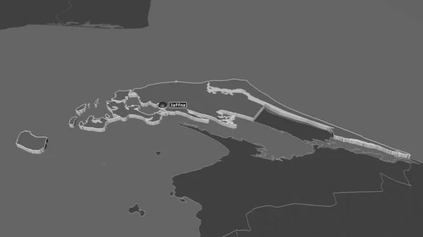
Zoom in on Jaffna (district of Sri Lanka) extruded. Oblique perspective. Bilevel elevation map with surface waters. 3D rendering
Zoom Jaffna District Sri Lanka Extruded Oblique Perspective Bilevel Elevation — Stock Photo, Image
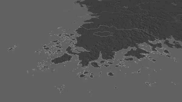
Zoom in on Hwanghae-namdo (province of North Korea) outlined. Oblique perspective. Bilevel elevation map with surface waters. 3D rendering
Zoom Hwanghae Namdo Province North Korea Outlined Oblique Perspective Bilevel — Stock Photo, Image
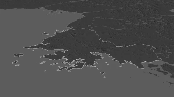
Zoom in on Jeollanam-do (province of South Korea) outlined. Oblique perspective. Bilevel elevation map with surface waters. 3D rendering
Zoom Jeollanam Province South Korea Outlined Oblique Perspective Bilevel Elevation — Stock Photo, Image
Schleswig-Holstein, state of Germany. Grayscaled map with lakes and rivers. Shape outlined against its country area. 3D rendering
Schleswig Holstein State Germany Grayscaled Map Lakes Rivers Shape Outlined — Stock Photo, Image
Zoom in on Pemba South (region of Tanzania) outlined. Oblique perspective. Bilevel elevation map with surface waters. 3D rendering
Zoom Pemba South Region Tanzania Outlined Oblique Perspective Bilevel Elevation — Stock Photo, Image
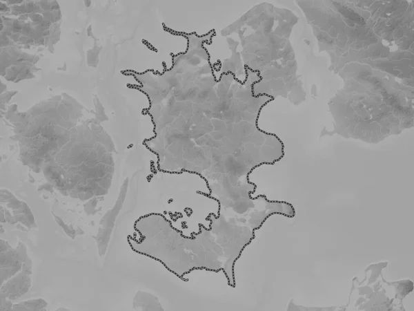
Sjlland, region of Denmark. Grayscale elevation map with lakes and rivers
Sjlland Region Denmark Grayscale Elevation Map Lakes Rivers — Stock Photo, Image
Outline of the Banda Sea tectonic plate with the borders of surrounding plates against the background of a pattern map. 3D rendering
Outline Banda Sea Tectonic Plate Borders Surrounding Plates Background Pattern — Stock Photo, Image
Shoreline of areas adjacent to the Timor tectonic plate. Van der Grinten I projection (oblique transformation)
Shoreline Areas Adjacent Timor Tectonic Plate Van Der Grinten Projection — Stock Photo, Image
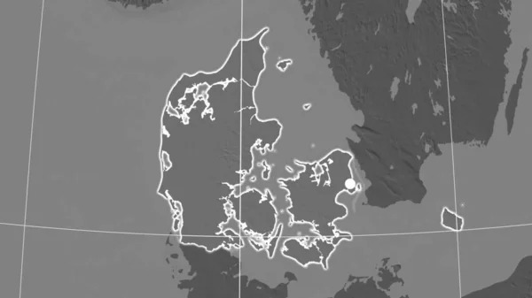
Denmark outlined on the bilevel orthographic map. Capital, administrative borders and graticule
Denmark Outlined Bilevel Orthographic Map Capital Administrative Borders Graticule — Stock Photo, Image
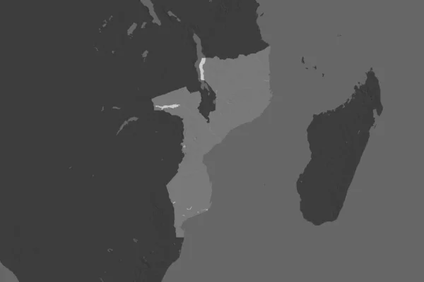
Shape of Mozambique separated by the desaturation of neighboring areas. Bilevel elevation map. 3D rendering
Shape Mozambique Separated Desaturation Neighboring Areas Bilevel Elevation Map Rendering — Stock Photo, Image
Close-up of Denmark and its location in the region and in the center of a large-scale world map. Color map of the administrative division
Close Denmark Its Location Region Center Large Scale World Map — Stock Photo, Image
Vietnam area on the bilevel elevation map in the stereographic projection - raw composition of raster layers
Vietnam Area Bilevel Elevation Map Stereographic Projection Raw Composition Raster — Stock Photo, Image
Syddanmark, region of Denmark. Elevation map colored in wiki style with lakes and rivers
Syddanmark Region Denmark Elevation Map Colored Wiki Style Lakes Rivers — Stock Photo, Image
Niger area on the annual precipitation map in the stereographic projection - raw composition of raster layers
Niger Area Annual Precipitation Map Stereographic Projection Raw Composition Raster — Stock Photo, Image
Zoom in on Syddanmark (region of Denmark) extruded. Oblique perspective. Topographic relief map with surface waters. 3D rendering
Zoom Syddanmark Region Denmark Extruded Oblique Perspective Topographic Relief Map — Stock Photo, Image

Usage Information

You can use this royalty-free photo "Denmark area on the grayscale elevation map in the stereographic projection - raw composition of raster layers with light glowing outline" for personal and commercial purposes according to the Standard or Extended License. The Standard License covers most use cases, including advertising, UI designs, and product packaging, and allows up to 500,000 print copies. The Extended License permits all use cases under the Standard License with unlimited print rights and allows you to use the downloaded stock images for merchandise, product resale, or free distribution.

You can buy this stock photo and download it in high resolution up to 2880x1620. Upload Date: Jun 20, 2020