Extended Area Outlined Western Sahara Bilevel Elevation Map Rendering — Stock Photo, Image

Extended area of outlined Western Sahara. Bilevel elevation map. 3D rendering — Photo

Extended area of outlined Western Sahara. Bilevel elevation map. 3D rendering

 — Photo by Yarr65

Same Series:

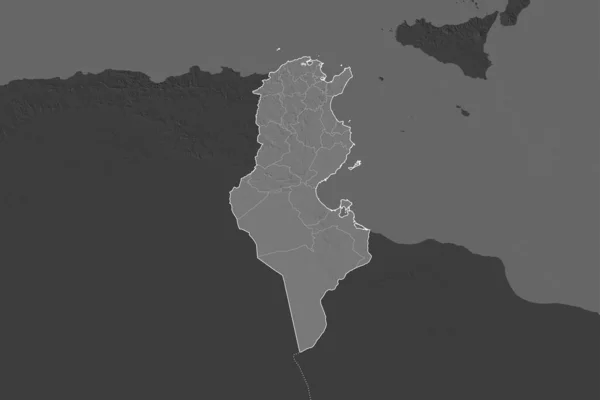
Shape of Tunisia separated by the desaturation of neighboring areas. Borders. Bilevel elevation map. 3D rendering
Shape Tunisia Separated Desaturation Neighboring Areas Borders Bilevel Elevation Map — Stock Photo, Image
Equatorial Guinea area on the annual precipitation map in the stereographic projection - raw composition of raster layers
Equatorial Guinea Area Annual Precipitation Map Stereographic Projection Raw Composition — Stock Photo, Image
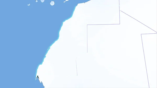
Western Sahara area on the annual precipitation map in the stereographic projection - raw composition of raster layers with light glowing outline
Western Sahara Area Annual Precipitation Map Stereographic Projection Raw Composition — Stock Photo, Image
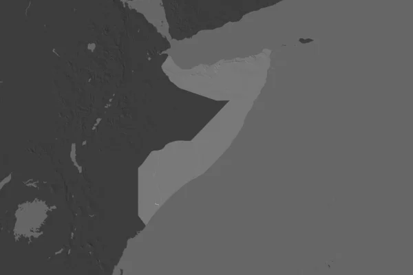
Shape of Somalia separated by the desaturation of neighboring areas. Bilevel elevation map. 3D rendering
Shape Somalia Separated Desaturation Neighboring Areas Bilevel Elevation Map Rendering — Stock Photo, Image
Shape of Corozal, district of Belize, with its capital isolated on a solid color background. Colored elevation map. 3D rendering
Shape Corozal District Belize Its Capital Isolated Solid Color Background — Stock Photo, Image
Belgium. Close-up perspective of the country - no outline. grayscale elevation map
Belgium Close Perspective Country Outline Grayscale Elevation Map — Stock Photo, Image
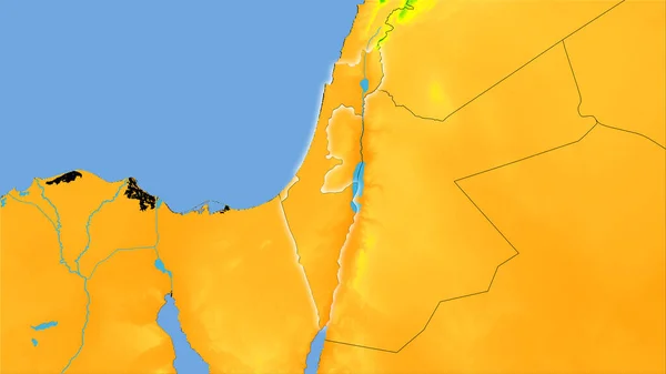
Israel area on the annual temperature map in the stereographic projection - raw composition of raster layers with light glowing outline
Israel Area Annual Temperature Map Stereographic Projection Raw Composition Raster — Stock Photo, Image
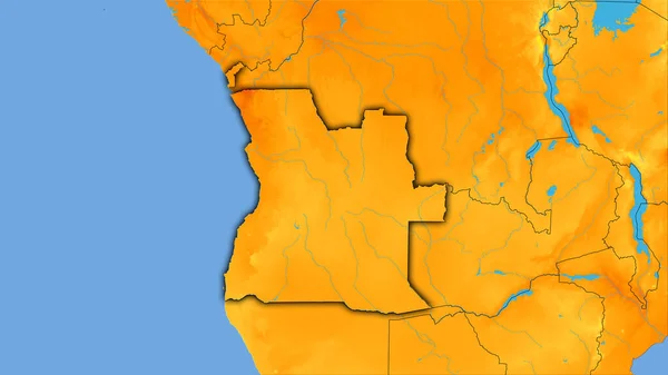
Angola area on the annual temperature map in the stereographic projection - raw composition of raster layers with dark glowing outline
Angola Area Annual Temperature Map Stereographic Projection Raw Composition Raster — Stock Photo, Image
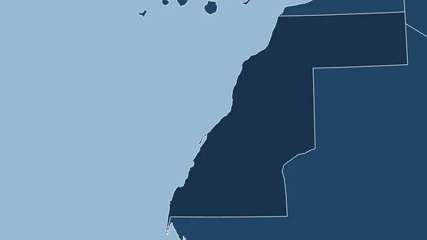
Western Sahara. Close-up perspective of the country - no outline. shapes only - land/ocean mask
Western Sahara Close Perspective Country Outline Shapes Only Land Ocean — Stock Photo, Image
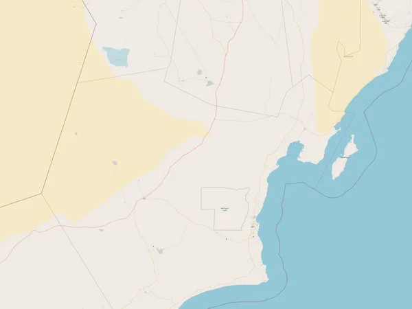
Al Wusta, region of Oman. Open Street Map
Wusta Region Oman Open Street Map — Stock Photo, Image
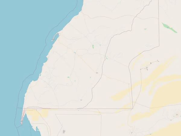
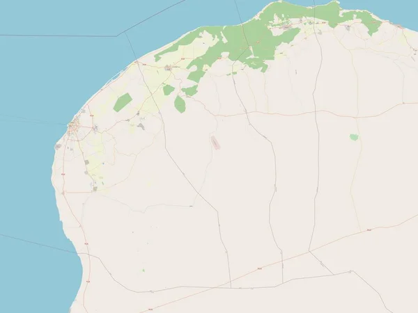
Dakhla-Oued Ed-Dahab, region of Morocco. Open Street Map
Dakhla Oued Dahab Region Morocco Open Street Map — Stock Photo, Image
Shape of Zambia separated by the desaturation of neighboring areas. Bilevel elevation map. 3D rendering
Shape Zambia Separated Desaturation Neighboring Areas Bilevel Elevation Map Rendering — Stock Photo, Image
Al Batinah North, region of Oman. Open Street Map
Batinah North Region Oman Open Street Map — Stock Photo, Image
Extended area of Madagascar with country outline, international and regional borders. Bilevel elevation map. 3D rendering
Extended Area Madagascar Country Outline International Regional Borders Bilevel Elevation — Stock Photo, Image
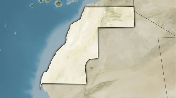
Western Sahara area on the satellite B map in the stereographic projection - raw composition of raster layers with dark glowing outline
Western Sahara Area Satellite Map Stereographic Projection Raw Composition Raster — Stock Photo, Image
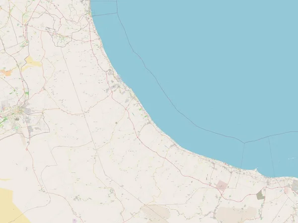
Al Marj, district of Libya. Open Street Map
Marj District Libya Open Street Map — Stock Photo, Image

Usage Information

You can use this royalty-free photo "Extended area of outlined Western Sahara. Bilevel elevation map. 3D rendering" for personal and commercial purposes according to the Standard or Extended License. The Standard License covers most use cases, including advertising, UI designs, and product packaging, and allows up to 500,000 print copies. The Extended License permits all use cases under the Standard License with unlimited print rights and allows you to use the downloaded stock images for merchandise, product resale, or free distribution.

You can buy this stock photo and download it in high resolution up to 3000x2000. Upload Date: Aug 14, 2020