Farm scene on the N8-road between Kimberley and Schmidtsdrift — Stock Photo, Image

Farm scene on the N8-road between Kimberley and Schmidtsdrift — Photo

A farm scene on the N8-road between Kimberley and Schmidtsdrift in the Northern Cape Province of South Africa

 — Photo by dpreezg

Same Series:

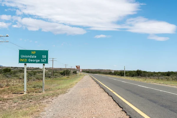
Road signs next to the N9 road near Willowmore, a small town in the Eastern Cape Province
Road signs next to the N9 road near Willowmore — Stock Photo, Image
WILLOWMORE, SOUTH AFRICA - MARCH 23, 2017: Road signs on the N9 road at Willowmore with the name and founding date of the town written with white stones on a hill
Road signs on the N9 road at Willowmore — Stock Photo, Image
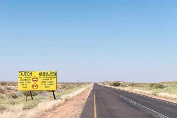
A speed limit warning sign on the R360-road between Askham and Upington in the Northern Cape Province of South Africa
Speed limit sign on road R360 between Askham and Upington — Stock Photo, Image
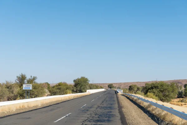
The Lowen (Lion) River between Grunau and Keetmanshoop in the Karas Region of Namibia. It is the main tribituary of the Naute Dam near Keetmanshoop
Lowen (Lion) River between Grunau and Keetmanshoop — Stock Photo, Image
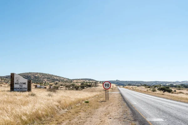
REHOBOTH, NAMIBIA - JUNE 14, 2017: A welcome sign at the entrance to Rehoboth, a town in the Hardap Region of namibia
Welcome sign at the entrance to Rehoboth — Stock Photo, Image
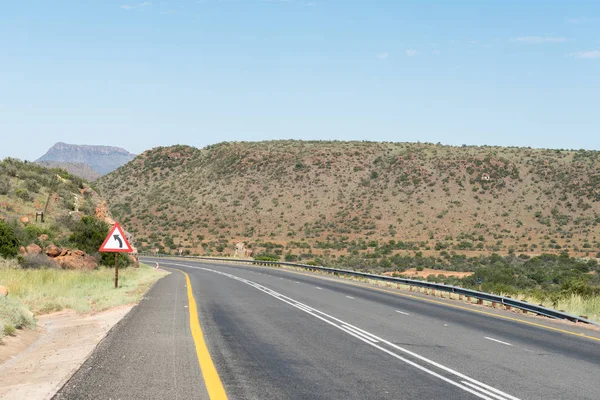
Start of the Paardekloof Pass on the N9 road to the north of Graaff-Reinet in the Eastern Cape Province of South Africa
Start of the Paardekloof Pass — Stock Photo, Image
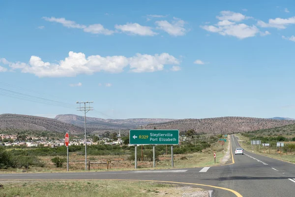
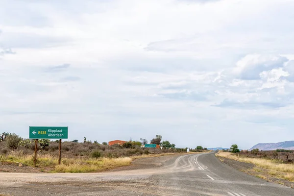
The turn-off from road R329 to Klipplaat in the Eastern Cape Province
Turn Road R329 Klipplaat Eastern Cape Province — Stock Photo, Image
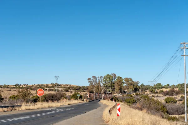
Single lane road bridge over the Riet River near Koffiefontein in the Free State Province
Single Lane Road Bridge Riet River Koffiefontein Free State Province — Stock Photo, Image
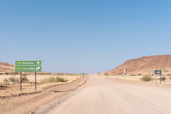
The C43-road changes into the C39-road at the turn-off to Torra Bay, in the Kunene Region of Namibia
C43-road changes to C39 at Torra Bay turn-off — Stock Photo, Image
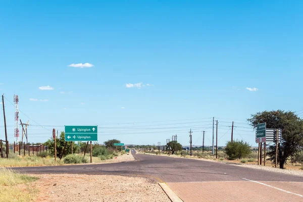
A road scene with directional signs at Upington airport
Road Scene Directional Signs Upington Airport — Stock Photo, Image
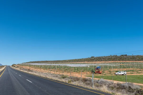
KOUE BOKKEVELD, SOUTH AFRICA - SEP 9, 2022: Farm workers covering orchards with hail nets on road R303 in the Koue Bokkeveld region of the Western Cape Province
Koue Bokkeveld South Africa Sep 2022 Farm Workers Covering Orchards — Stock Photo, Image
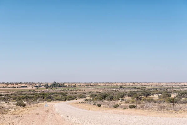
A farm landscape next to the dry Auob River on the C15-road between Stampriet and Gochas in the Hardap Region in Namibia
Farm landscape on the C15-road between Stampriet and Gochas — Stock Photo, Image
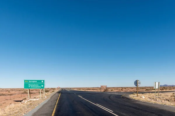
POFADDER, SOUTH AFRICA - JUNE 13, 2017: The turn-off from the N14-road between Kakamas and Pofadder to the Onseepkans border post on the border of Namibia
Turn-off from N14-road to the Onseepkans border post — Stock Photo, Image
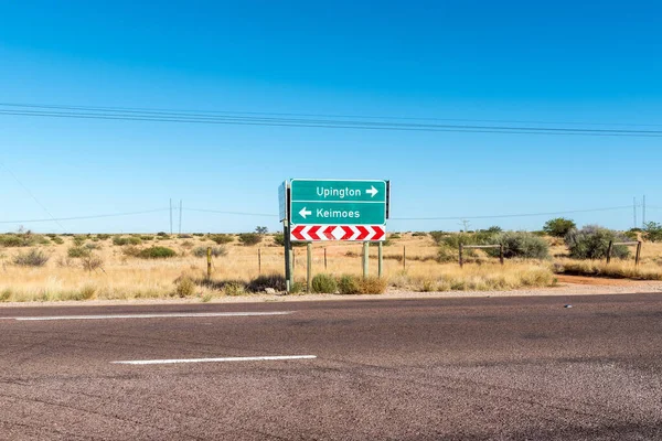
A directional sign on road N14 at the junction with the Oranjevallei road near Upington in the Northern Cape Province
Directional Sign Road N14 Junction Oranjevallei Road Upington Northern Cape — Stock Photo, Image
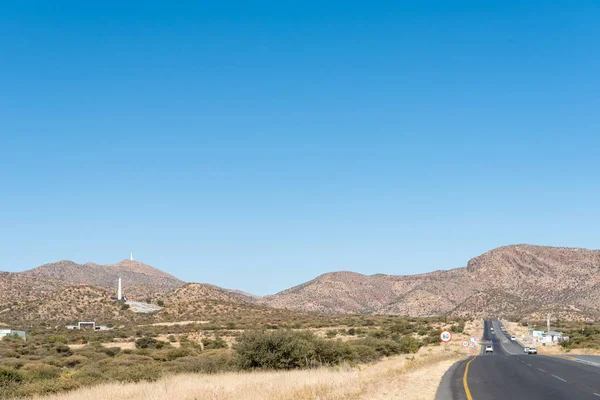
Looking South on the B1-road South of Windhoek. The Heroes Acre is visible as well as a microwave telecommunications tower on Grossherzog Friedrich Mountain
The B1-road to the South of Windhoek — Stock Photo, Image
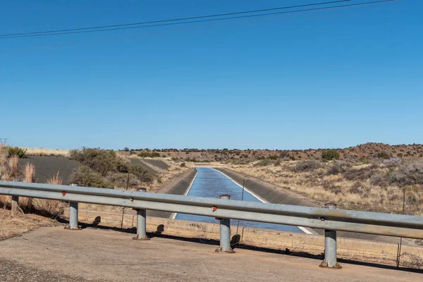
An irrigation canal, originating from the Vanderkloof Dam, near Luckhoff in the Free State Province
Irrigation Canal Originating Vanderkloof Dam Luckhoff Free State Province — Stock Photo, Image

Usage Information

You can use this royalty-free photo "Farm scene on the N8-road between Kimberley and Schmidtsdrift" for personal and commercial purposes according to the Standard or Extended License. The Standard License covers most use cases, including advertising, UI designs, and product packaging, and allows up to 500,000 print copies. The Extended License permits all use cases under the Standard License with unlimited print rights and allows you to use the downloaded stock images for merchandise, product resale, or free distribution.

You can buy this stock photo and download it in high resolution up to 3595x2400. Upload Date: Oct 9, 2017