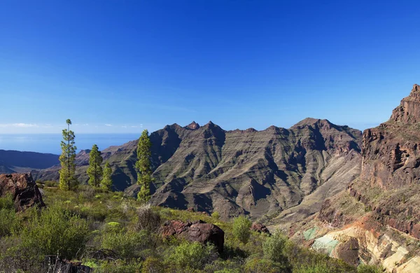
Gran Canaria Landscape Central Mountainous Part Island Landscapes Hiking Route — Stock Photo, Image

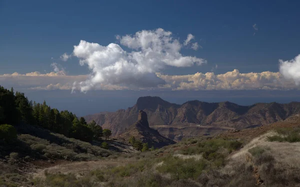
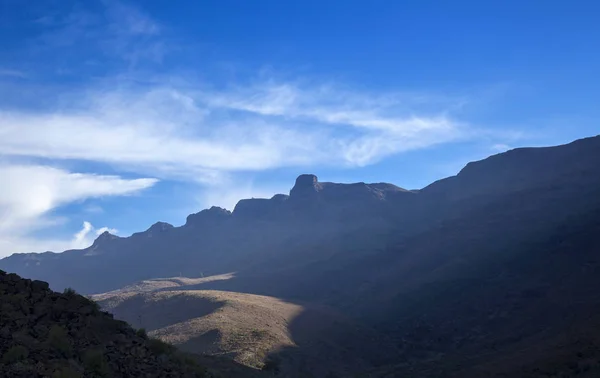
Gran Canaria, landscape of the central mountainous part of the island, Landscapes around hiking route in Barranco de Siberio valley, edge of nature park Pajonales — Photo

Gran Canaria, landscape of the central mountainous part of the island, Landscapes around hiking route in Barranco de Siberio valley, edge of nature park Pajonales

 — Photo by Tamara_k

Same Series:

West of Gran Canaria, February 2018, spectacular colorful strata Fuente de Los Azulejos, from hiking path by Roque de Veneguera
West of Gran Canaria, February 2018 — Stock Photo, Image
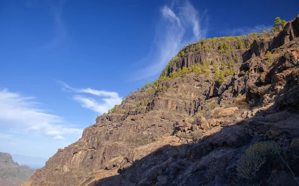
West of Gran Canaria, February 2018, integral Nature Reserve Inagua, multi-colored strata of cliffs of west border, top of Montana de Los Hornos in a cloud
West of Gran Canaria, February 2018 — Stock Photo, Image
Gran Canaria, November 2018, spectacular multicolored strata of Fuente de los Azulejos, literally meaning fountain of tiles , situated on scenic mountain road Mogan - La Aldea de San Nicolas
Gran Canaria November 2018 Spectacular Multicolored Strata Fuente Los Azulejos — Stock Photo, Image
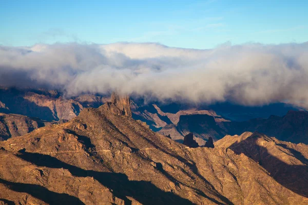
Gran Canaria, Caldera de Tejeda, morning light, layer of couds flowers over Roque Bentayga
Gran Canaria, Caldera de Tejeda, morning light — Stock Photo, Image
Gran Canaria, March, view from an old hiking path Camino de La Plata towards cliffs Riscos de Tirajana
Gran Canaria, March — Stock Photo, Image
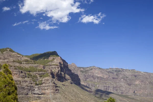
Gran Canaria, landscape of the central part of the island, Las Cumbres, ie The Summits
Gran Canaria Landscape Central Part Island Las Cumbres Summits — Stock Photo, Image
West of Gran Canaria, February 2018, integral Nature Reserve Inagua, multi-colored strata of cliffs of west border, top of Montana de Los Hornos in a cloud
West of Gran Canaria, February 2018 — Stock Photo, Image
Gran Canaria, Caldera de Tejeda, Roque Bentayga
Gran Canaria, Caldera de Tejeda — Stock Photo, Image
West of Gran Canaria, February 2018, spectacular colorful strata Fuente de Los Azulejos, from hiking path by Roque de Veneguera
West of Gran Canaria, February 2018 — Stock Photo, Image
Gran Canaria, November 2019, view from the western borders of Nature reserve Inagua towards Guigui mountains and Teide on Tenerife in far distance
Gran Canaria, November — Stock Photo, Image
Gran Canaria, landscape of the central part of the island, Las Cumbres, ie The Summits, hiking route Tejeda - Roque Bentayga
Gran Canaria Landscape Central Part Island Las Cumbres Summits Hiking — Stock Photo, Image
Gran Canaria, February 2018, view into Caldera de Tejeda from the south
Gran Canaria, february 2018 — Stock Photo, Image
Gran Canaria, July, view from the slopes of Montana Amagro mountain in Galdar municipality, north of the islands, towards cliffs of Tamabada
Gran Canaria, July — Stock Photo, Image
Gran Canaria, landscape of the central part of the island, Las Cumbres, ie The Summits, Caldera de Tejeda in geographical center of the island
Gran Canaria Landscape Central Part Island Las Cumbres Summits Caldera — Stock Photo, Image
La Gomea abstract - tall red rock cliff with rock crystals shaped as "organ pipes"
La Gomea abstract — Stock Photo, Image
Gran Canaria, early morning light in Barranco de Fataga ravine
Gran Canaria, March — Stock Photo, Image

Usage Information

You can use this royalty-free photo "Gran Canaria, landscape of the central mountainous part of the island, Landscapes around hiking route in Barranco de Siberio valley, edge of nature park Pajonales" for personal and commercial purposes according to the Standard or Extended License. The Standard License covers most use cases, including advertising, UI designs, and product packaging, and allows up to 500,000 print copies. The Extended License permits all use cases under the Standard License with unlimited print rights and allows you to use the downloaded stock images for merchandise, product resale, or free distribution.

You can buy this stock photo and download it in high resolution up to 5634x3753. Upload Date: Dec 3, 2021