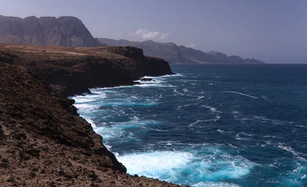
Gran Canaria Steep Eroded Coast Line Agaete Municipality Path Playa — Stock Photo, Image

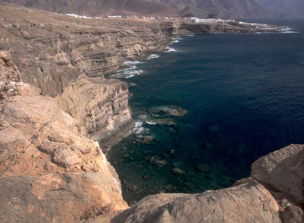
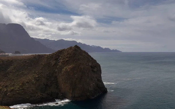
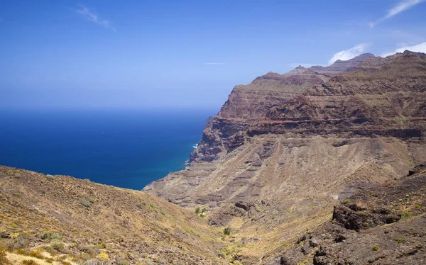
Gran Canaria, steep eroded coast line of Agaete municipality, path to Playa del Juncal beach — Photo

Gran Canaria, steep eroded coast line of Agaete municipality, path to Playa del Juncal beach

 — Photo by Tamara_k

Same Series:

Gran Canaria, steep eroded coast line of Agaete municipality, path to Playa del Juncal beach
Gran Canaria Steep Eroded Coast Line Agaete Municipality Path Playa — Stock Photo, Image
North West of Gran Canaria, road from Puerto de Las Nieves to Aldea de San Nicolas
North West of Gran Canaria — Stock Photo, Image
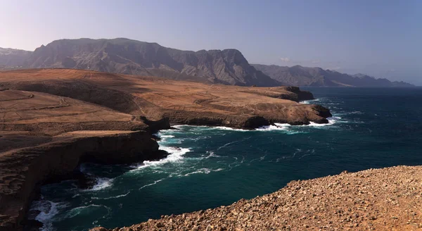
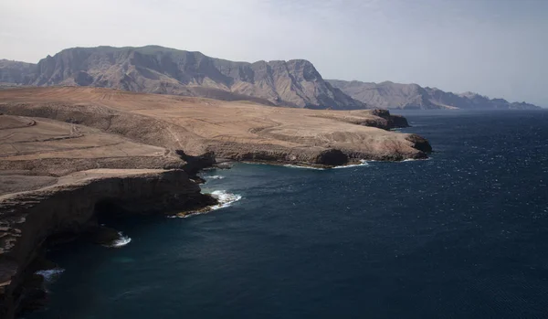
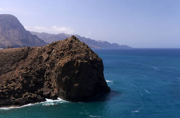
Gran Canaria, landscape of steep eroded north west coast between Galdar and Agaete municipalities, hike between villages Sardina del Norte and Puerto de Las Nieves
Gran Canaria Landscape Steep Eroded North West Coast Galdar Agaete — Stock Photo, Image
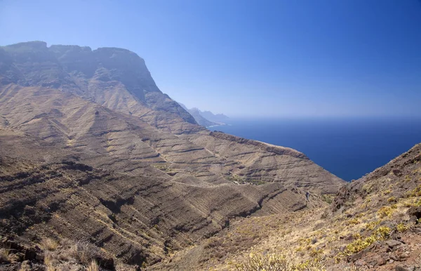
Gran Canaria, October, landscapes of Agaete municipality, hiking route San Pedro - Puerto de las Nieves, view towards Faneque, Europe tallest cliff above sea level, and curvy and dangerous road Agaete - La Aldea de San Nicolas
Gran Canaria October Landscapes Agaete Municipality Hiking Route San Pedro — Stock Photo, Image
Gran Canaria, landscape of steep eroded north west coast of Galdar and Agaete municipalities, hike between villages Sardina del Norte and Puerto de Las Nieves
Gran Canaria Landscape Steep Eroded North West Coast Galdar Agaete — Stock Photo, Image
Gran Canaria, October, landscapes of Agaete municipality, hiking route San Pedro - Puerto de las Nieves, view towards Faneque, Europe tallest cliff above sea level, and curvy and dangerous road Agaete - La Aldea de San Nicolas
Gran Canaria October Landscapes Agaete Municipality Hiking Route San Pedro — Stock Photo, Image
Gran Canaria, landscape of steep eroded north west coast between Galdar and Agaete municipalities, hike between villages Sardina del Norte and Puerto de Las Nieves
Gran Canaria Landscape Steep Eroded North West Coast Galdar Agaete — Stock Photo, Image
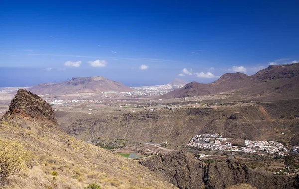
Western Gran Canaria, May, hiking route Tasartico - Playa GuiGui, ravine Barranco de Guigui Grande, steep rocky slopes
Western Gran Canaria, May — Stock Photo, Image
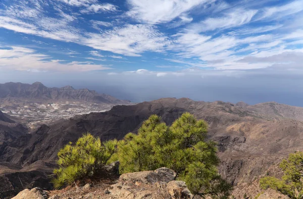
Gran Canaria, landscape of the central montainous part of the island, Las Cumbres, ie The Summits,hiking route to Altavista, aboriginal name Azaenegue, mountain in Artenara municipality
Gran Canaria Landscape Central Montainous Part Island Las Cumbres Summits — Stock Photo, Image
Gran Canaria, landscape of the mountainous part of the island in the Nature Park Tamadaba, hiking route to Faneque, the tallest over-the-sea cliff of Europe
Gran Canaria Landscape Mountainous Part Island Nature Park Tamadaba Hiking — Stock Photo, Image
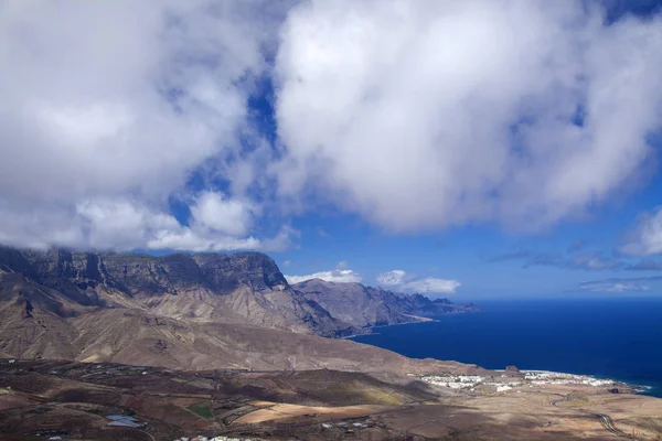
Gran Canaria, July, view from the slopes of Montana Amagro mountain in Galdar municipality, north of the islands, towards Agaete and cliffs of Tamabada
Gran Canaria, July — Stock Photo, Image
Gran Canaria, landscape of steep eroded north west coast between Galdar and Agaete municipalities, hike between villages Sardina del Norte and Puerto de Las Nieves
Gran Canaria Landscape Steep Eroded North West Coast Galdar Agaete — Stock Photo, Image
Gran Canaria, October, landscapes of valley of Agaete, hiking route San Pedro - Puerto de las Nieves, view across valley towards Galdar in far distance
Gran Canaria October Landscapes Valley Agaete Hiking Route San Pedro — Stock Photo, Image
Gran Canaria, March, landscapes of Agaete municipality, hiking route San Pedro - Puerto de las Nieves, view towards Faneque, Europe tallest cliff above sea level, and curvy and dangerous road Agaete - La Aldea de San Nicolas
Gran Canaria, March,  landscapes of Agaete municipality — Stock Photo, Image
Gran Canaria, landscape of steep eroded north west coast between Galdar and Agaete municipalities, hike between villages Sardina del Norte and Puerto de Las Nieves
Gran Canaria Landscape Steep Eroded North West Coast Galdar Agaete — Stock Photo, Image
North west coast of Gran Canaria, Canary Islands, Sardina del Norte area, in Galdar municipality
North West Coast Gran Canaria Canary Islands Sardina Del Norte — Stock Photo, Image

Usage Information

You can use this royalty-free photo "Gran Canaria, steep eroded coast line of Agaete municipality, path to Playa del Juncal beach" for personal and commercial purposes according to the Standard or Extended License. The Standard License covers most use cases, including advertising, UI designs, and product packaging, and allows up to 500,000 print copies. The Extended License permits all use cases under the Standard License with unlimited print rights and allows you to use the downloaded stock images for merchandise, product resale, or free distribution.

You can buy this stock photo and download it in high resolution up to 4000x2439. Upload Date: Jul 28, 2020