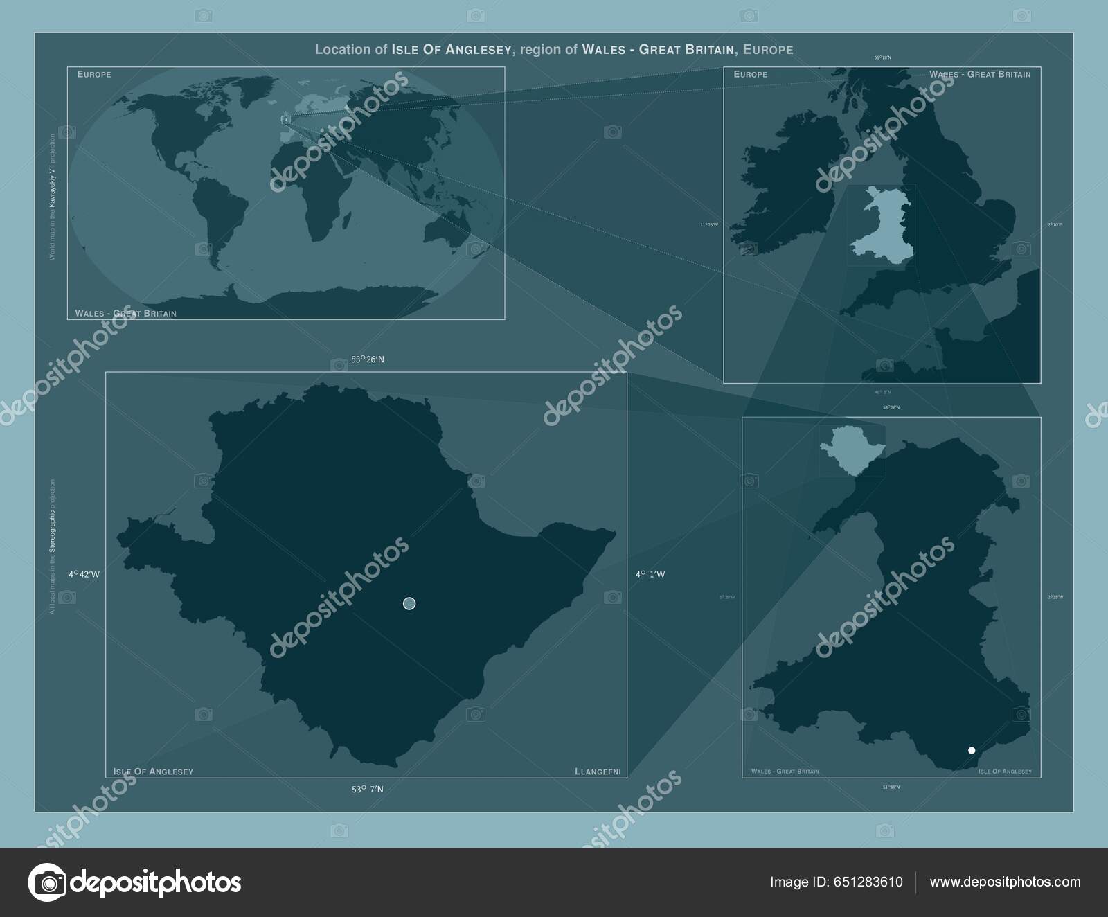
Isle Anglesey Region Wales Great Britain Diagram Showing Location Region — Stock Photo, Image

Isle Of Anglesey, region of Wales - Great Britain. Diagram showing the location of the region on larger-scale maps. Composition of vector frames and PNG shapes on a solid background — Photo

Isle Of Anglesey, region of Wales - Great Britain. Diagram showing the location of the region on larger-scale maps. Composition of vector frames and PNG shapes on a solid background

 — Photo by Yarr65

Same Series:

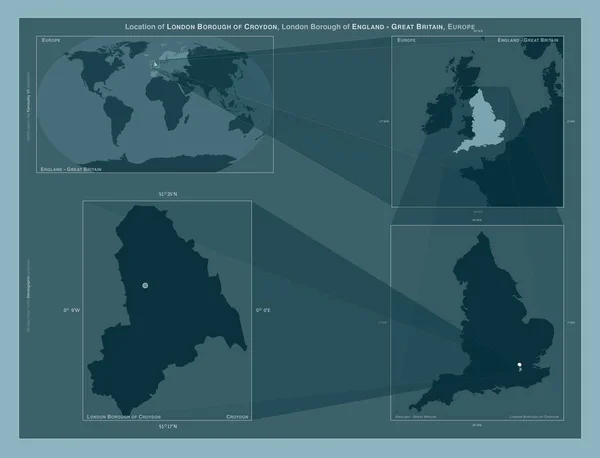
London Borough of Croydon, london borough of England - Great Britain. Diagram showing the location of the region on larger-scale maps. Composition of vector frames and PNG shapes on a solid background
London Borough Croydon London Borough England Great Britain Diagram Showing — Stock Photo, Image
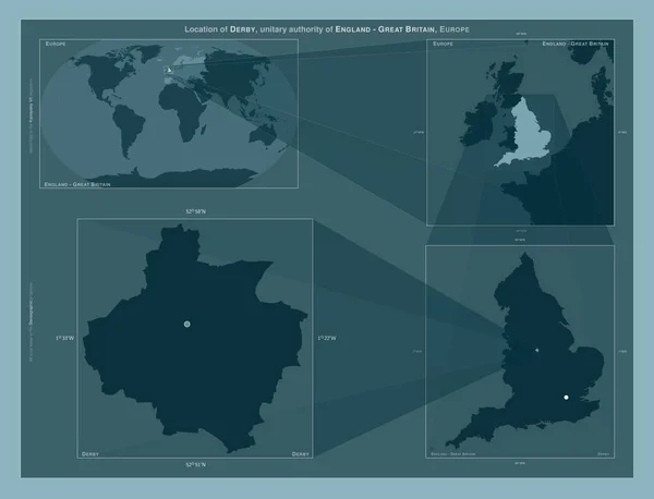
Derby, unitary authority of England - Great Britain. Diagram showing the location of the region on larger-scale maps. Composition of vector frames and PNG shapes on a solid background
Derby Unitary Authority England Great Britain Diagram Showing Location Region — Stock Photo, Image
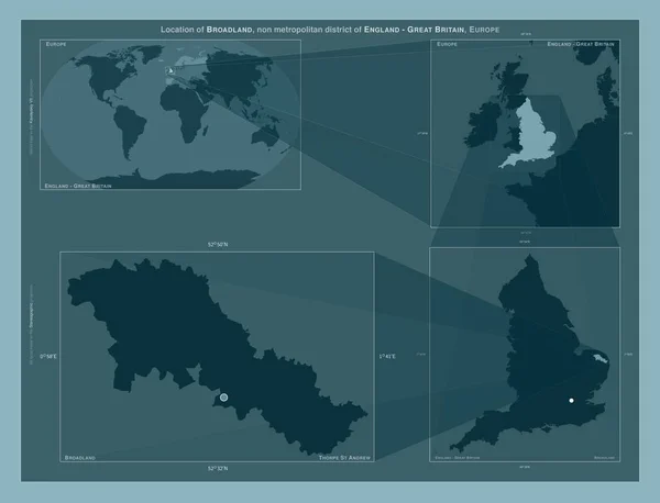
Broadland, non metropolitan district of England - Great Britain. Diagram showing the location of the region on larger-scale maps. Composition of vector frames and PNG shapes on a solid background
Broadland Non Metropolitan District England Great Britain Diagram Showing Location — Stock Photo, Image
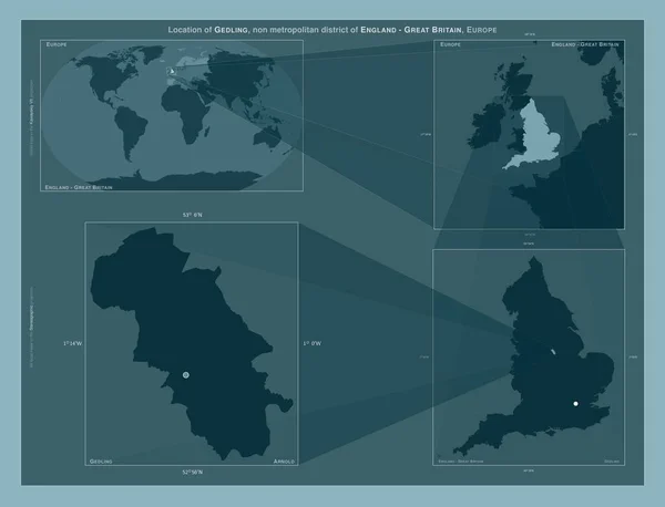
Gedling, non metropolitan district of England - Great Britain. Diagram showing the location of the region on larger-scale maps. Composition of vector frames and PNG shapes on a solid background
Gedling Non Metropolitan District England Great Britain Diagram Showing Location — Stock Photo, Image
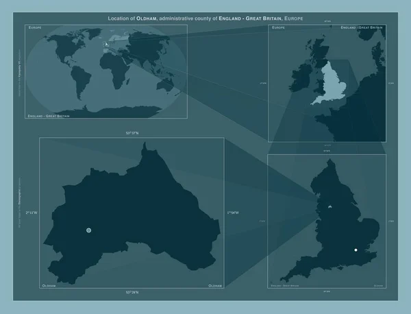
Oldham, administrative county of England - Great Britain. Diagram showing the location of the region on larger-scale maps. Composition of vector frames and PNG shapes on a solid background
Oldham Administrative County England Great Britain Diagram Showing Location Region — Stock Photo, Image
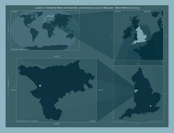
Cheshire West and Chester, administrative county of England - Great Britain. Diagram showing the location of the region on larger-scale maps. Composition of vector frames and PNG shapes on a solid background
Cheshire West Chester Administrative County England Great Britain Diagram Showing — Stock Photo, Image
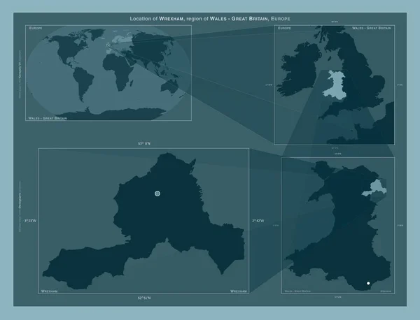
Wrexham, region of Wales - Great Britain. Diagram showing the location of the region on larger-scale maps. Composition of vector frames and PNG shapes on a solid background
Wrexham Region Wales Great Britain Diagram Showing Location Region Larger — Stock Photo, Image
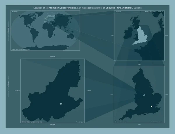
North West Leicestershire, non metropolitan district of England - Great Britain. Diagram showing the location of the region on larger-scale maps. Composition of vector frames and PNG shapes on a solid background
North West Leicestershire Non Metropolitan District England Great Britain Diagram — Stock Photo, Image
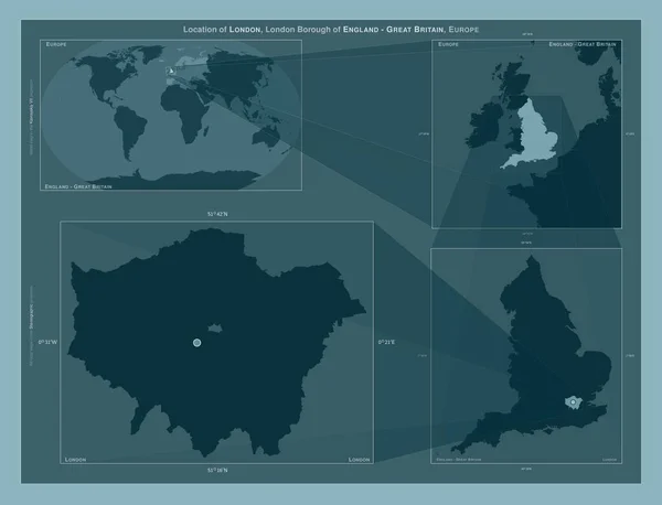
London, london borough of England - Great Britain. Diagram showing the location of the region on larger-scale maps. Composition of vector frames and PNG shapes on a solid background
London London Borough England Great Britain Diagram Showing Location Region — Stock Photo, Image
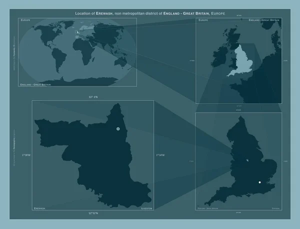
Erewash, non metropolitan district of England - Great Britain. Diagram showing the location of the region on larger-scale maps. Composition of vector frames and PNG shapes on a solid background
Erewash Non Metropolitan District England Great Britain Diagram Showing Location — Stock Photo, Image
Clare, county of Ireland. Diagram showing the location of the region on larger-scale maps. Composition of vector frames and PNG shapes on a solid background
Clare County Ireland Diagram Showing Location Region Larger Scale Maps — Stock Photo, Image
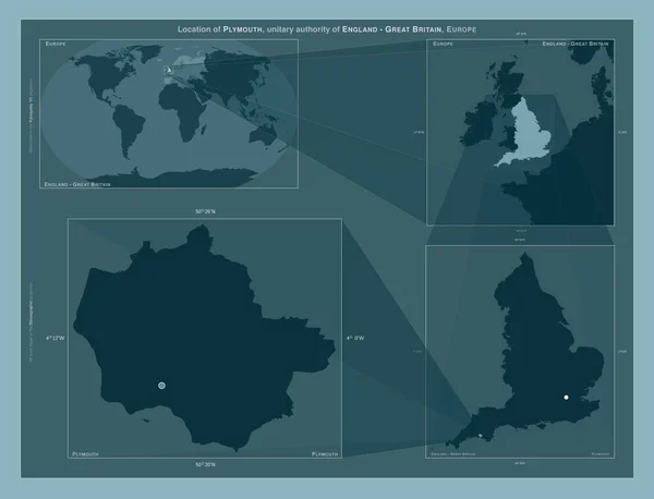
Plymouth, unitary authority of England - Great Britain. Diagram showing the location of the region on larger-scale maps. Composition of vector frames and PNG shapes on a solid background
Plymouth Unitary Authority England Great Britain Diagram Showing Location Region — Stock Photo, Image
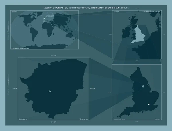
Doncaster, administrative county of England - Great Britain. Diagram showing the location of the region on larger-scale maps. Composition of vector frames and PNG shapes on a solid background
Doncaster Administrative County England Great Britain Diagram Showing Location Region — Stock Photo, Image
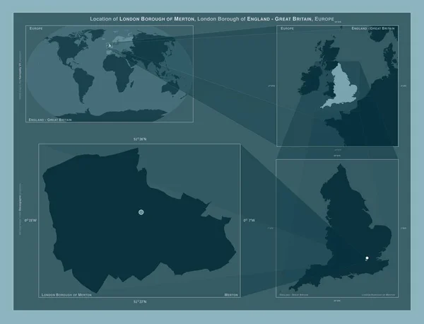
London Borough of Merton, london borough of England - Great Britain. Diagram showing the location of the region on larger-scale maps. Composition of vector frames and PNG shapes on a solid background
London Borough Merton London Borough England Great Britain Diagram Showing — Stock Photo, Image
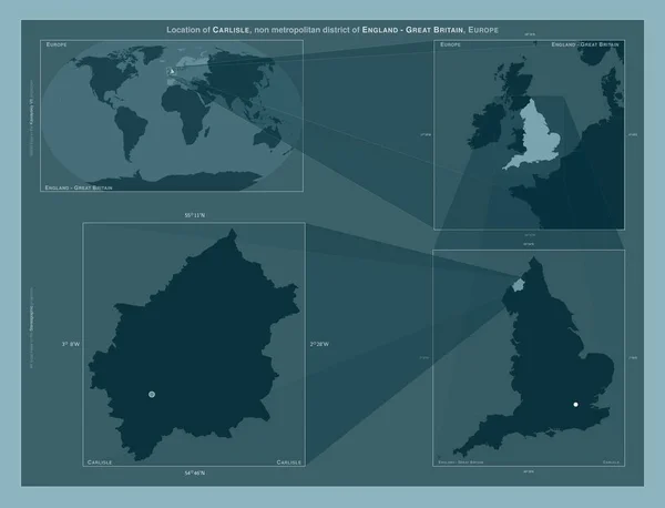
Carlisle, non metropolitan district of England - Great Britain. Diagram showing the location of the region on larger-scale maps. Composition of vector frames and PNG shapes on a solid background
Carlisle Non Metropolitan District England Great Britain Diagram Showing Location — Stock Photo, Image
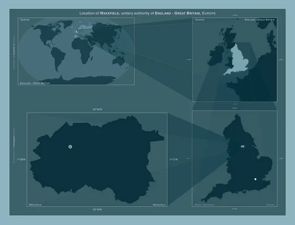
Wakefield, unitary authority of England - Great Britain. Diagram showing the location of the region on larger-scale maps. Composition of vector frames and PNG shapes on a solid background
Wakefield Unitary Authority England Great Britain Diagram Showing Location Region — Stock Photo, Image

Usage Information

You can use this royalty-free photo "Isle Of Anglesey, region of Wales - Great Britain. Diagram showing the location of the region on larger-scale maps. Composition of vector frames and PNG shapes on a solid background" for personal and commercial purposes according to the Standard or Extended License. The Standard License covers most use cases, including advertising, UI designs, and product packaging, and allows up to 500,000 print copies. The Extended License permits all use cases under the Standard License with unlimited print rights and allows you to use the downloaded stock images for merchandise, product resale, or free distribution.

You can buy this stock photo and download it in high resolution up to 4930x3770. Upload Date: Apr 14, 2023