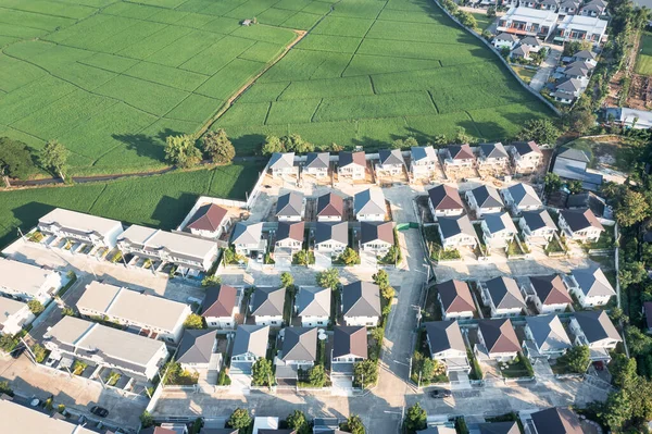
Land House Residential Area Satellite Aerial View Concept Plot Earth — Stock Photo, Image

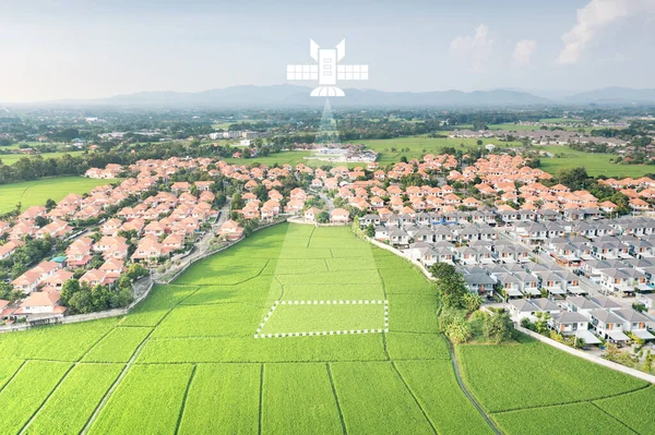
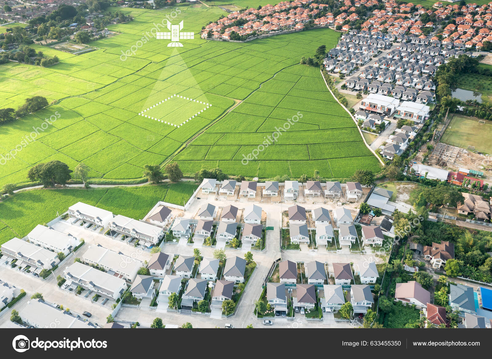
Land, house, residential area and satellite in aerial view. Concept of plot on earth, map data, survey or measurement by gps, system, technology. Real estate and property for sale, buy, development. — Photo

Land, house, residential area and satellite in aerial view. Concept of plot on earth, map data, survey or measurement by gps, system, technology. Real estate and property for sale, buy, development.

 — Photo by roncivil

Same Series:

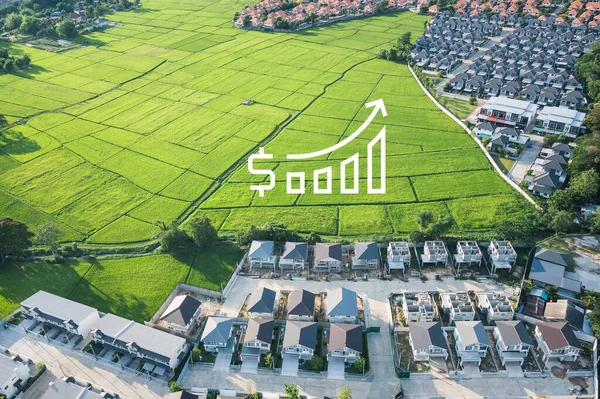
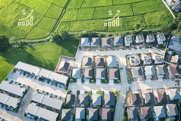
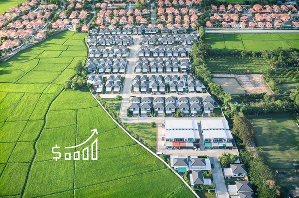
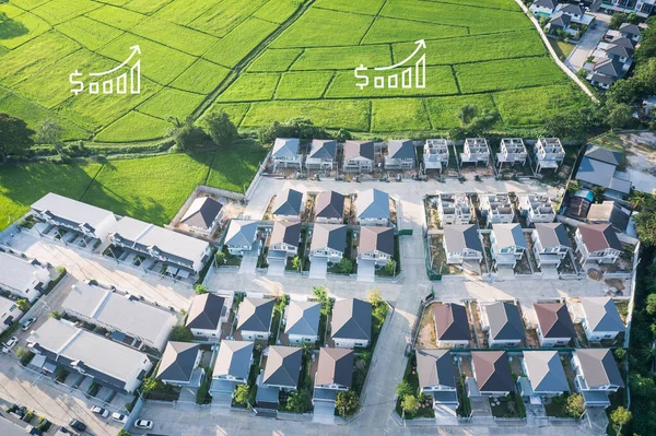
Increased land value in aerial view consist of landscape, green field, residential house building and growth graph of rate market price. Real estate or property for business i.e. trade or investment.
Increased Land Value Aerial View Consist Landscape Green Field Residential — Stock Photo, Image
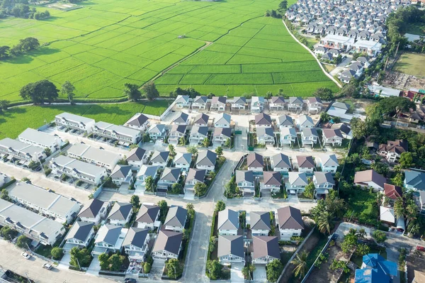
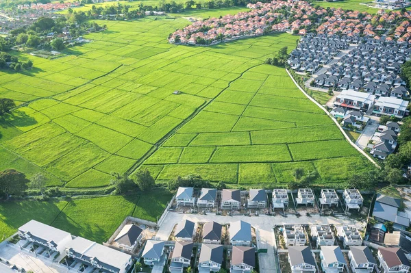
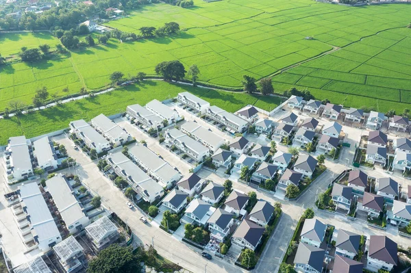
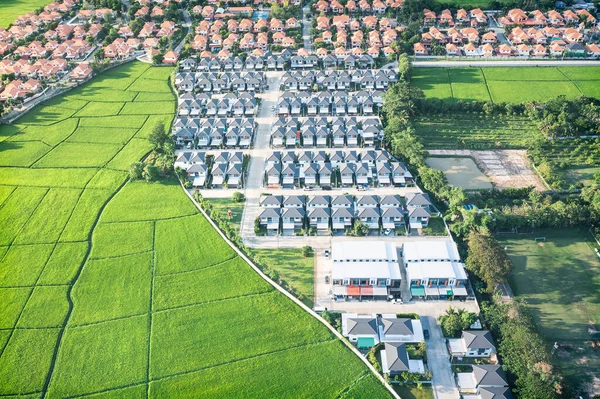
Land or landscape of green field in aerial view. Include agriculture farm, house building, village. That real estate or property. Plot of land for housing subdivision, development, sale or investment.
Land Landscape Green Field Aerial View Include Agriculture Farm House — Stock Photo, Image
Land or landscape of green field in aerial view. Include agriculture farm, house building, village. That real estate or property. Plot of land to housing construction in Chiang Mai of Thailand.
Land Landscape Green Field Aerial View Include Agriculture Farm House — Stock Photo, Image
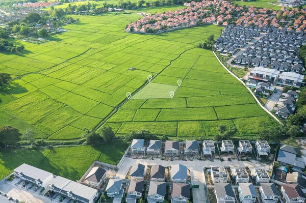
Land plot in aerial view. Identify registration symbol of vacant area for map. That property, real estate for business of home, house or residential i.e. construction, development, sale, rent, buy.
Land Plot Aerial View Identify Registration Symbol Vacant Area Map — Stock Photo, Image
Land or landscape of green field in aerial view. Include agriculture farm, house building, village. That real estate or property. Plot of land for housing subdivision, development, sale or investment.
Land Landscape Green Field Aerial View Include Agriculture Farm House — Stock Photo, Image
Land or landscape of green field in aerial view. Include agriculture farm, residential or house building in village. That real estate or property for construction, housing subdivision, owned or sale.
Land Landscape Green Field Aerial View Include Agriculture Farm Residential — Stock Photo, Image
Land or landscape of green field in aerial view. Include agriculture farm, house building, village. That real estate or property. Plot of land to housing construction, owned, sale, rent, buy, purchase
Land Landscape Green Field Aerial View Include Agriculture Farm House — Stock Photo, Image
Land or landscape of green field in aerial view. Include agriculture farm, house building, village. That real estate or property. Plot of land for housing subdivision, development, sale or investment.
Land Landscape Green Field Aerial View Include Agriculture Farm House — Stock Photo, Image
Increased land value in aerial view consist of landscape, green field, residential house building and growth graph of rate market price. Real estate or property for business i.e. trade or investment.
Increased Land Value Aerial View Consist Landscape Green Field Residential — Stock Photo, Image
Land or landscape of green field in aerial view. Include agriculture farm, house building, village. That real estate or property. Plot of land for housing subdivision, development, sale or investment.
Land Landscape Green Field Aerial View Include Agriculture Farm House — Stock Photo, Image
Increased land value in aerial view consist of landscape, green field, residential house building and growth graph of rate market price. Real estate or property for business i.e. trade or investment.
Increased Land Value Aerial View Consist Landscape Green Field Residential — Stock Photo, Image
Land, house, residential area and satellite in aerial view. Concept of plot on earth, map data, survey or measurement by gps, system, technology. Real estate and property for sale, buy, development.
Land House Residential Area Satellite Aerial View Concept Plot Earth — Stock Photo, Image
Land or landscape of green field in aerial view. Include agriculture farm, house building, village. That real estate or property. Plot of land for housing subdivision, development, sale or investment.
Land Landscape Green Field Aerial View Include Agriculture Farm House — Stock Photo, Image
Increased land value in aerial view consist of landscape, green field, residential house building and growth graph of rate market price. Real estate or property for business i.e. trade or investment.
Increased Land Value Aerial View Consist Landscape Green Field Residential — Stock Photo, Image
Land or landscape of green field in aerial view. Include agriculture farm, house building, village. That real estate or property. Plot of land for housing subdivision, development, sale or investment.
Land Landscape Green Field Aerial View Include Agriculture Farm House — Stock Photo, Image
Land or landscape of green field in aerial view. Include agriculture farm, residential or house building in village. That real estate or property for sale, buy, mortgage and investment in Chiang Mai.
Land Landscape Green Field Aerial View Include Agriculture Farm Residential — Stock Photo, Image

Usage Information

You can use this royalty-free photo "Land, house, residential area and satellite in aerial view. Concept of plot on earth, map data, survey or measurement by gps, system, technology. Real estate and property for sale, buy, development." for personal and commercial purposes according to the Standard or Extended License. The Standard License covers most use cases, including advertising, UI designs, and product packaging, and allows up to 500,000 print copies. The Extended License permits all use cases under the Standard License with unlimited print rights and allows you to use the downloaded stock images for merchandise, product resale, or free distribution.

You can buy this stock photo and download it in high resolution up to 5464x3640. Upload Date: Jan 5, 2023