Luxembourg Area Annual Precipitation Map Stereographic Projection Raw Composition Raster — Stock Photo, Image

Luxembourg area on the annual precipitation map in the stereographic projection - raw composition of raster layers with light glowing outline — Photo

Luxembourg area on the annual precipitation map in the stereographic projection - raw composition of raster layers with light glowing outline

 — Photo by Yarr65

Same Series:

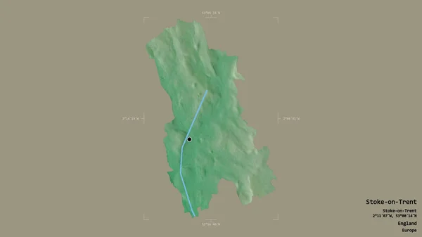
Area of Stoke-on-Trent, unitary authority of England, isolated on a solid background in a georeferenced bounding box. Labels. Topographic relief map. 3D rendering
Area Stoke Trent Unitary Authority England Isolated Solid Background Georeferenced — Stock Photo, Image
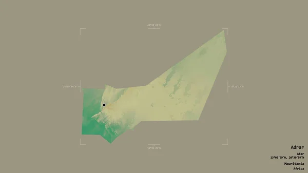
Area of Adrar, region of Mauritania, isolated on a solid background in a georeferenced bounding box. Labels. Topographic relief map. 3D rendering
Area Adrar Region Mauritania Isolated Solid Background Georeferenced Bounding Box — Stock Photo, Image
Area of Iasi, county of Romania, isolated on a solid background in a georeferenced bounding box. Labels. Colored elevation map. 3D rendering
Area Iasi County Romania Isolated Solid Background Georeferenced Bounding Box — Stock Photo, Image
Bolivia area on the administrative divisions map in the stereographic projection - raw composition of raster layers
Bolivia Area Administrative Divisions Map Stereographic Projection Raw Composition Raster — Stock Photo, Image
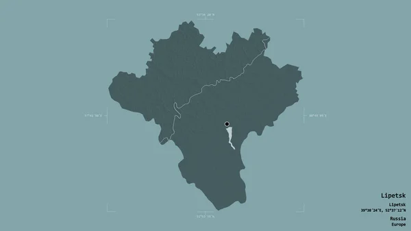
Area of Lipetsk, region of Russia, isolated on a solid background in a georeferenced bounding box. Labels. Colored elevation map. 3D rendering
Area Lipetsk Region Russia Isolated Solid Background Georeferenced Bounding Box — Stock Photo, Image
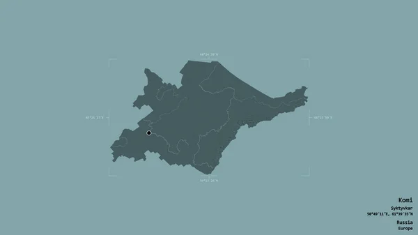
Area of Komi, republic of Russia, isolated on a solid background in a georeferenced bounding box. Labels. Colored elevation map. 3D rendering
Area Komi Republic Russia Isolated Solid Background Georeferenced Bounding Box — Stock Photo, Image
Area of Okinawa, prefecture of Japan, isolated on a solid background in a georeferenced bounding box. Labels. Topographic relief map. 3D rendering
Area Okinawa Prefecture Japan Isolated Solid Background Georeferenced Bounding Box — Stock Photo, Image
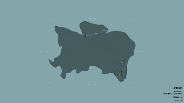
Area of Benue, state of Nigeria, isolated on a solid background in a georeferenced bounding box. Labels. Colored elevation map. 3D rendering
Area Benue State Nigeria Isolated Solid Background Georeferenced Bounding Box — Stock Photo, Image
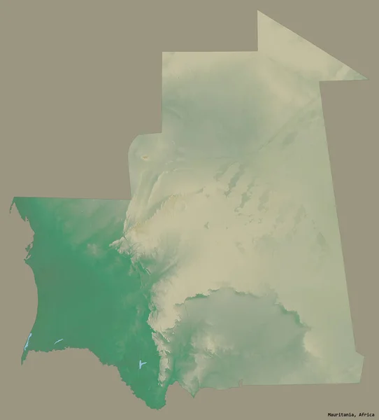
Shape of Mauritania with its capital isolated on a solid color background. Topographic relief map. 3D rendering
Shape Mauritania Its Capital Isolated Solid Color Background Topographic Relief — Stock Photo, Image
Area of Derby, unitary authority of England, isolated on a solid background in a georeferenced bounding box. Labels. Colored elevation map. 3D rendering
Area Derby Unitary Authority England Isolated Solid Background Georeferenced Bounding — Stock Photo, Image
Area of Wakefield, unitary authority of England, isolated on a solid background in a georeferenced bounding box. Labels. Colored elevation map. 3D rendering
Area Wakefield Unitary Authority England Isolated Solid Background Georeferenced Bounding — Stock Photo, Image
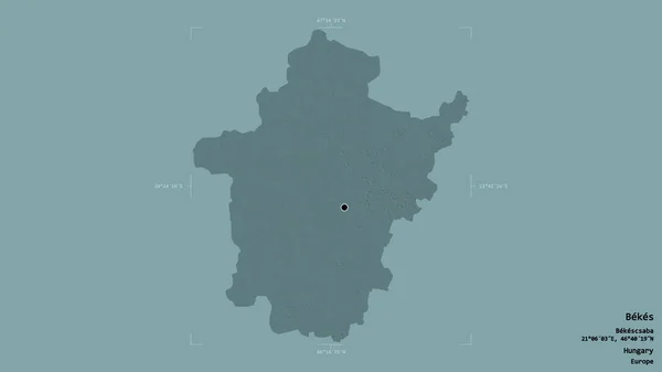
Area of Bekes, county of Hungary, isolated on a solid background in a georeferenced bounding box. Labels. Colored elevation map. 3D rendering
Area Bekes County Hungary Isolated Solid Background Georeferenced Bounding Box — Stock Photo, Image
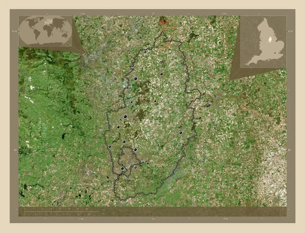
Nottinghamshire, administrative county of England - Great Britain. High resolution satellite map. Locations of major cities of the region. Corner auxiliary location maps
Nottinghamshire Administrative County England Great Britain High Resolution Satellite Map — Stock Photo, Image
Area of Ohio, state of Mainland United States, isolated on a solid background in a georeferenced bounding box. Labels. Topographic relief map. 3D rendering
Area Ohio State Mainland United States Isolated Solid Background Georeferenced — Stock Photo, Image
Area of Dolj, county of Romania, isolated on a solid background in a georeferenced bounding box. Labels. Topographic relief map. 3D rendering
Area Dolj County Romania Isolated Solid Background Georeferenced Bounding Box — Stock Photo, Image
Belarus. Close-up perspective of the country - no outline. grayscale elevation map
Belarus Close Perspective Country Outline Grayscale Elevation Map — Stock Photo, Image

Usage Information

You can use this royalty-free photo "Luxembourg area on the annual precipitation map in the stereographic projection - raw composition of raster layers with light glowing outline" for personal and commercial purposes according to the Standard or Extended License. The Standard License covers most use cases, including advertising, UI designs, and product packaging, and allows up to 500,000 print copies. The Extended License permits all use cases under the Standard License with unlimited print rights and allows you to use the downloaded stock images for merchandise, product resale, or free distribution.

You can buy this stock photo and download it in high resolution up to 2880x1620. Upload Date: Jun 21, 2020