Malopolskie Voivodeship Province Poland Solid Color Shape Locations Major Cities — Stock Photo, Image

Malopolskie, voivodeship|province of Poland. Solid color shape. Locations of major cities of the region. Corner auxiliary location maps — Photo

Malopolskie, voivodeship|province of Poland. Solid color shape. Locations of major cities of the region. Corner auxiliary location maps

 — Photo by Yarr65

Same Series:

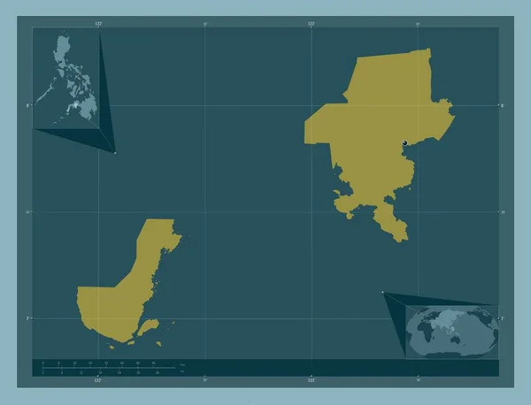
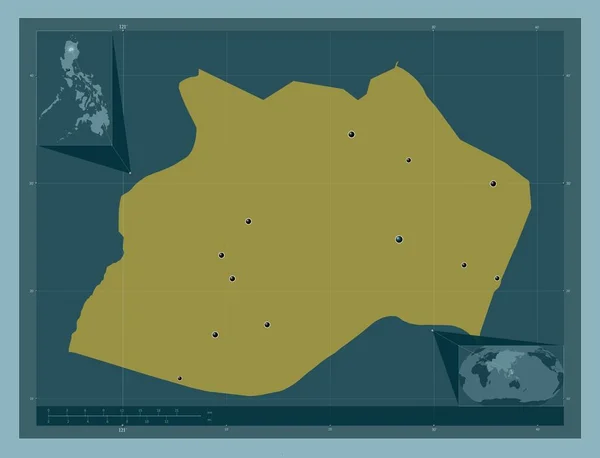
Zamboanga del Sur, province of Philippines. Solid color shape. Corner auxiliary location maps
Zamboanga Del Sur Province Philippines Solid Color Shape Corner Auxiliary — Stock Photo, Image
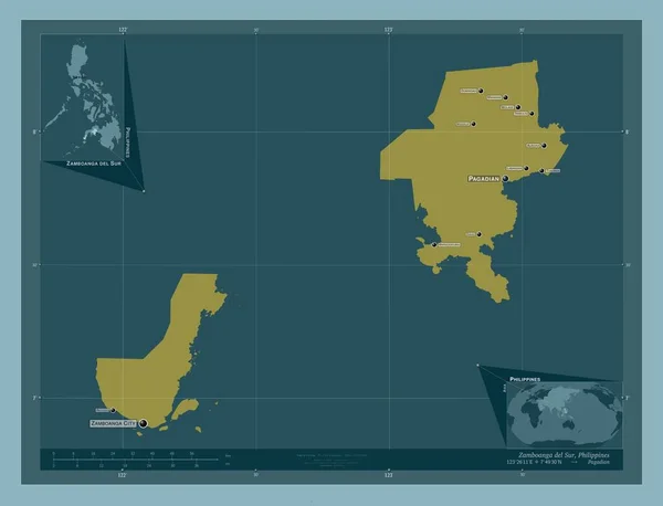
Zamboanga del Sur, province of Philippines. Solid color shape. Locations and names of major cities of the region. Corner auxiliary location maps
Zamboanga Del Sur Province Philippines Solid Color Shape Locations Names — Stock Photo, Image
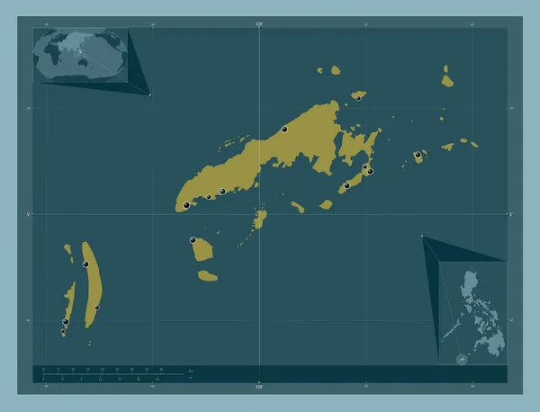
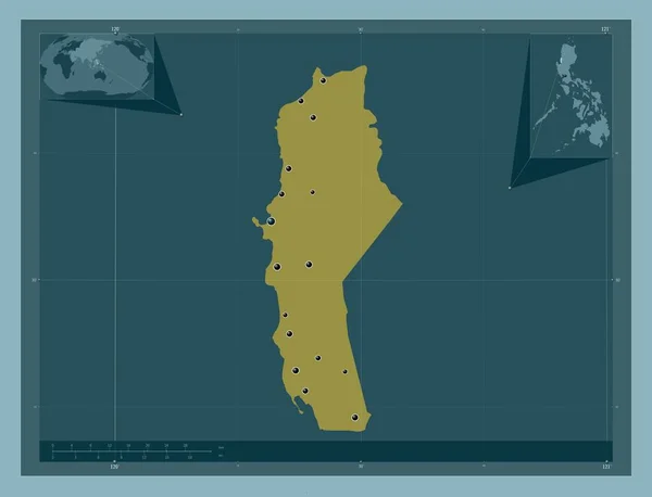
Tawi-Tawi, province of Philippines. Solid color shape. Locations of major cities of the region. Corner auxiliary location maps
Tawi Tawi Province Philippines Solid Color Shape Locations Major Cities — Stock Photo, Image
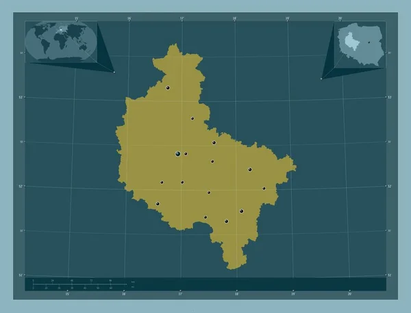
Wielkopolskie, voivodeship|province of Poland. Solid color shape. Locations of major cities of the region. Corner auxiliary location maps
Wielkopolskie Voivodeship Province Poland Solid Color Shape Locations Major Cities — Stock Photo, Image
Kalinga, province of Philippines. Solid color shape. Locations of major cities of the region. Corner auxiliary location maps
Kalinga Province Philippines Solid Color Shape Locations Major Cities Region — Stock Photo, Image
La Union, province of Philippines. Solid color shape. Locations of major cities of the region. Corner auxiliary location maps
Union Province Philippines Solid Color Shape Locations Major Cities Region — Stock Photo, Image
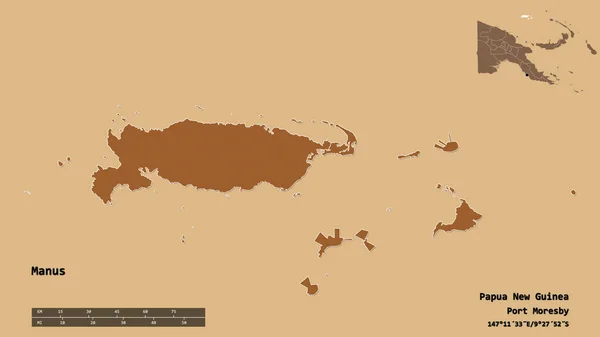
Shape of Manus, province of Papua New Guinea, with its capital isolated on solid background. Distance scale, region preview and labels. Composition of regularly patterned textures. 3D rendering
Shape Manus Province Papua New Guinea Its Capital Isolated Solid — Stock Photo, Image
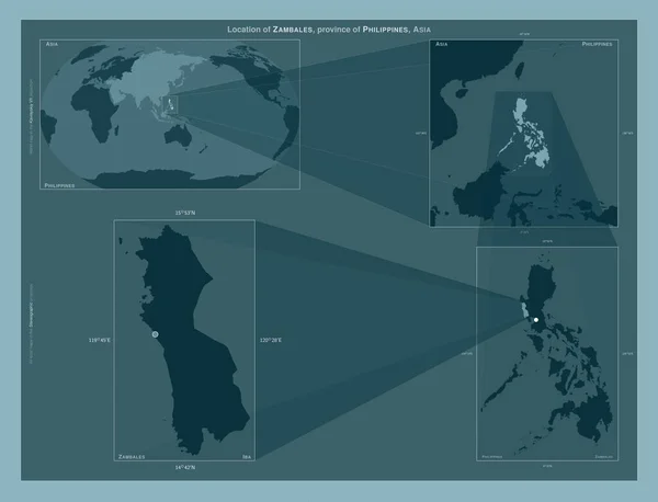
Zambales, province of Philippines. Diagram showing the location of the region on larger-scale maps. Composition of vector frames and PNG shapes on a solid background
Zambales Province Philippines Diagram Showing Location Region Larger Scale Maps — Stock Photo, Image
Shape of Omaheke, region of Namibia, with its capital isolated on a solid color background. Colored elevation map. 3D rendering
Shape Omaheke Region Namibia Its Capital Isolated Solid Color Background — Stock Photo, Image
Zamboanga del Norte, province of Philippines. Elevation map colored in sepia tones with lakes and rivers. Locations of major cities of the region. Corner auxiliary location maps
Zamboanga Del Norte Province Philippines Elevation Map Colored Sepia Tones — Stock Photo, Image
Shape of Kwale, county of Kenya, with its capital isolated on a solid color background. Colored elevation map. 3D rendering
Shape Kwale County Kenya Its Capital Isolated Solid Color Background — Stock Photo, Image
Lanao del Norte, province of Philippines. Solid color shape. Locations of major cities of the region. Corner auxiliary location maps
Lanao Del Norte Province Philippines Solid Color Shape Locations Major — Stock Photo, Image
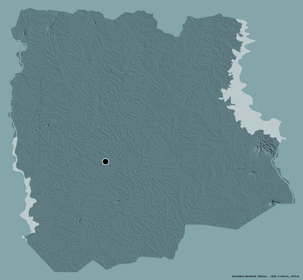
Shape of Sassandra-Marahoue, district of Cote d'Ivoire, with its capital isolated on a solid color background. Colored elevation map. 3D rendering
Shape Sassandra Marahoue District Cote Ivoire Its Capital Isolated Solid — Stock Photo, Image
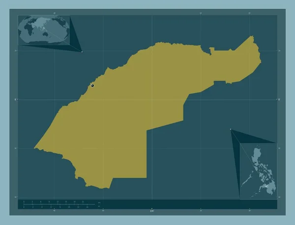
Lanao del Norte, province of Philippines. Solid color shape. Corner auxiliary location maps
Lanao Del Norte Province Philippines Solid Color Shape Corner Auxiliary — Stock Photo, Image
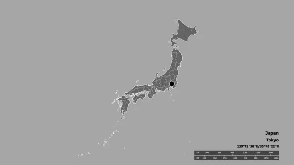
Desaturated shape of Japan with its capital, main regional division and the separated Hokkaido area. Labels. Bilevel elevation map. 3D rendering
Desaturated Shape Japan Its Capital Main Regional Division Separated Hokkaido — Stock Photo, Image
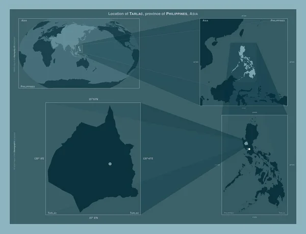
Tarlac, province of Philippines. Diagram showing the location of the region on larger-scale maps. Composition of vector frames and PNG shapes on a solid background
Tarlac Province Philippines Diagram Showing Location Region Larger Scale Maps — Stock Photo, Image

Usage Information

You can use this royalty-free photo "Malopolskie, voivodeship|province of Poland. Solid color shape. Locations of major cities of the region. Corner auxiliary location maps" for personal and commercial purposes according to the Standard or Extended License. The Standard License covers most use cases, including advertising, UI designs, and product packaging, and allows up to 500,000 print copies. The Extended License permits all use cases under the Standard License with unlimited print rights and allows you to use the downloaded stock images for merchandise, product resale, or free distribution.

You can buy this stock photo and download it in high resolution up to 4930x3770. Upload Date: Jan 28, 2023