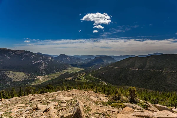
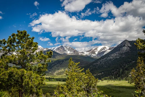
Many Parks Curve Overlook in Rocky Mountain National Park — Stock Photo, Image

Many Parks Curve Overlook in Rocky Mountain National Park — Photo

Trail Ridge Road is the name for a stretch of U.S. Highway 34 that traverses Rocky Mountain National Park from Estes Park, Colorado in the east to Grand Lake, Colorado in the west offering stunning mountain views.

 — Photo by adifferentbrian

Same Series:

Trail Ridge Road is the name for a stretch of U.S. Highway 34 that traverses Rocky Mountain National Park from Estes Park, Colorado in the east to Grand Lake, Colorado in the west offering stunning mountain views.
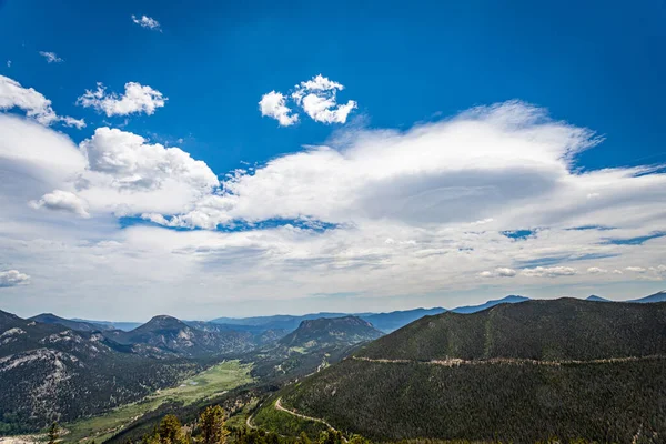
Rainbow Curve Overlook in Rocky Mountain National Park — Stock Photo, Image
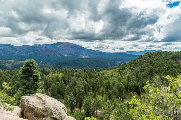
A view of the San Juan National Forest from US Highway 160 north of Pagosa Springs, Colorado.
San Juan National Forest — Stock Photo, Image
Trail Ridge Road is the name for a stretch of U.S. Highway 34 that traverses Rocky Mountain National Park from Estes Park, Colorado in the east to Grand Lake, Colorado in the west offering stunning mountain views.
Rainbow Curve Overlook in Rocky Mountain National Park — Stock Photo, Image
A panoramic view of Rocky Mountain National Park in Colorado from Trail Ridge Road.
Panoramic View Rocky Mountain National Park Colorado Trail Ridge Road — Stock Photo, Image
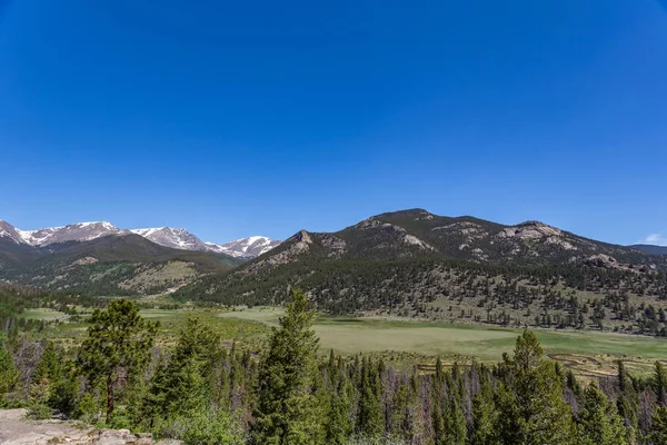
Trail Ridge Road is the name for a stretch of U.S. Highway 34 that traverses Rocky Mountain National Park from Estes Park, Colorado in the east to Grand Lake, Colorado in the west offering stunning mountain views.
Sheep Lakes at West Horseshoe Park on Trail Ridge Road — Stock Photo, Image
A panoramic view of Rocky Mountain National Park in Colorado from Fall River Road.
Panoramic View Rocky Mountain National Park Colorado Fall River Road — Stock Photo, Image
The Sawtooth National Forest covers two million acres in southern Idaho and northern Utah.
Sawtooth National Forest Covers Two Million Acres Southern Idaho Northern — Stock Photo, Image
Cebollita Mesa is an 8,736 foot mountain peak in northern New Mexico neat the Valles Caldera.
Cebollita Mesa View — Stock Photo, Image
The Sawtooth National Forest covers two million acres in southern Idaho and northern Utah and includes the Sawtooth Mountains and the Sawtooth National Recreation Area.
Sawtooth National Forest Covers Two Million Acres Southern Idaho Northern — Stock Photo, Image
The Sawtooth National Forest covers two million acres in southern Idaho and northern Utah and includes the Sawtooth Mountains and the Sawtooth National Recreation Area.
Sawtooth National Forest Covers Two Million Acres Southern Idaho Northern — Stock Photo, Image
The Sawtooth National Forest covers two million acres in southern Idaho and northern Utah.
Sawtooth National Forest Covers Two Million Acres Southern Idaho Northern — Stock Photo, Image
The highest point in South Dakota known as Harney Peak for over 150 years, was renamed Black Elk Peak in 2016.
Highest Point South Dakota Known Harney Peak 150 Years Renamed — Stock Photo, Image
A panoramic view of Rocky Mountain National Park in Colorado from Trail Ridge Road.
Panoramic View Rocky Mountain National Park Colorado Trail Ridge Road — Stock Photo, Image

Usage Information

You can use this royalty-free photo "Many Parks Curve Overlook in Rocky Mountain National Park" for personal and commercial purposes according to the Standard or Extended License. The Standard License covers most use cases, including advertising, UI designs, and product packaging, and allows up to 500,000 print copies. The Extended License permits all use cases under the Standard License with unlimited print rights and allows you to use the downloaded stock images for merchandise, product resale, or free distribution.

You can buy this stock photo and download it in high resolution up to 5472x3648. Upload Date: Aug 5, 2017