Map Tower Hamlets Greater London Province White Background Single County — Stock Photo, Image

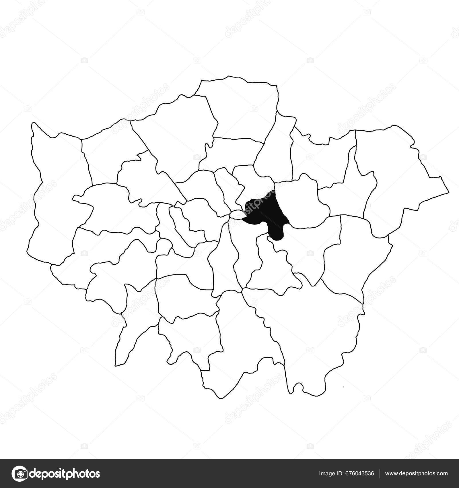
Map of Tower Hamlets in Greater London province on white background. single County map highlighted by black colour on Greater London, England administrative map. — Photo

Map of Tower Hamlets in Greater London province on white background. single County map highlighted by black colour on Greater London, England administrative map.

 — Photo by akhtaransari

Same Series:

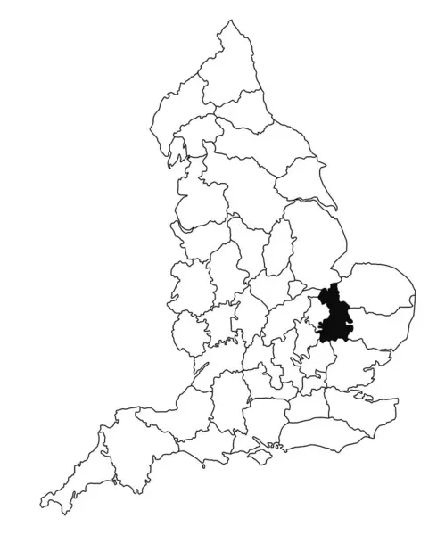
Map of Cambridgeshire County in England on white background. single County map highlighted by black colour on England administrative map.. United Kingdom, Britain, UK
Map Cambridgeshire County England White Background Single County Map Highlighted — Stock Photo, Image
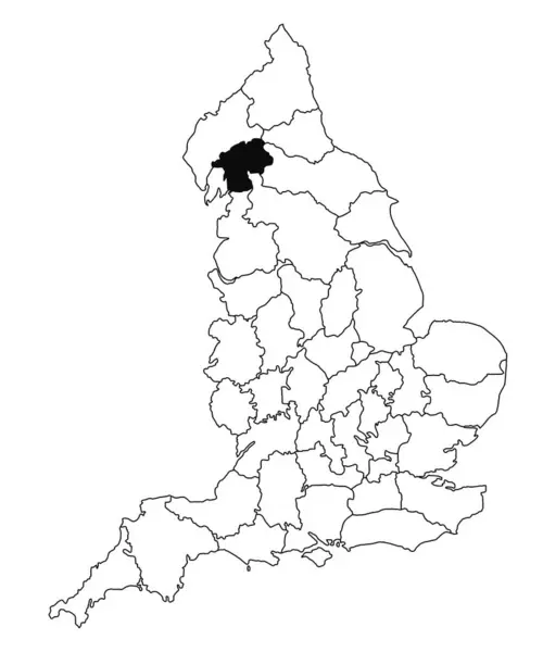
Map of Westmorland County in England on white background. single County map highlighted by black colour on England administrative map.. United Kingdom, Britain, UK
Map Westmorland County England White Background Single County Map Highlighted — Stock Photo, Image
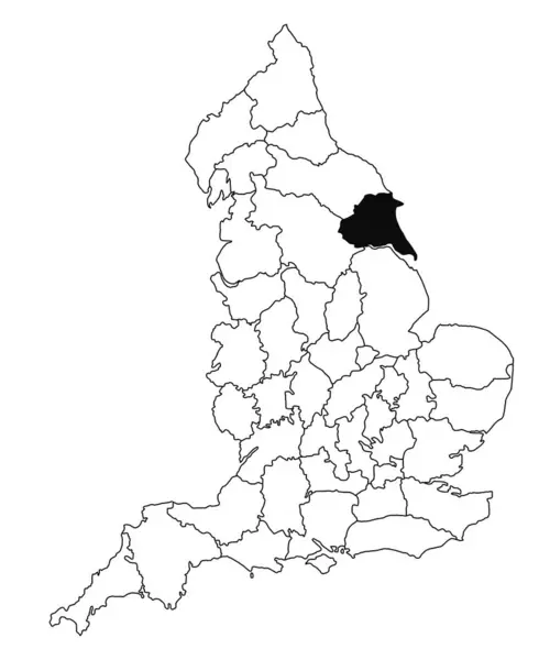
Map of East Riding County in England on white background. single County map highlighted by black colour on England administrative map.. United Kingdom, Britain, UK
Map East Riding County England White Background Single County Map — Stock Photo, Image
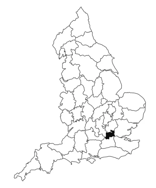
Map of Middlesex County in England on white background. single County map highlighted by black colour on England administrative map.. United Kingdom, Britain, UK
Map Middlesex County England White Background Single County Map Highlighted — Stock Photo, Image
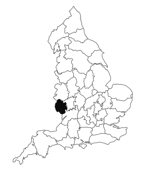
Map of Herefordshire County in England on white background. single County map highlighted by black colour on England administrative map.. United Kingdom, Britain, UK
Map Herefordshire County England White Background Single County Map Highlighted — Stock Photo, Image
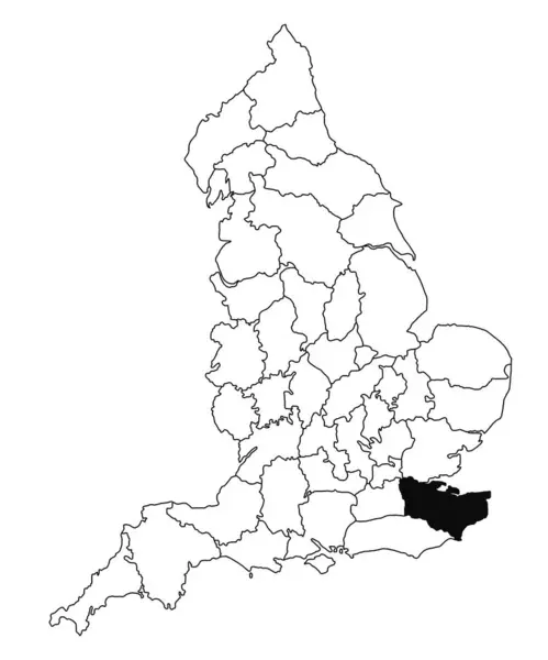
Map of Kent County in England on white background. single County map highlighted by black colour on England administrative map.. United Kingdom, Britain, UK
Map Kent County England White Background Single County Map Highlighted — Stock Photo, Image
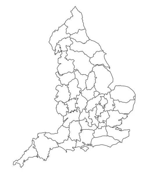
County map of England on white background. Counties map highlighted by black colour on England administrative map.. United Kingdom, Britain, UK
County Map England White Background Counties Map Highlighted Black Colour — Stock Photo, Image
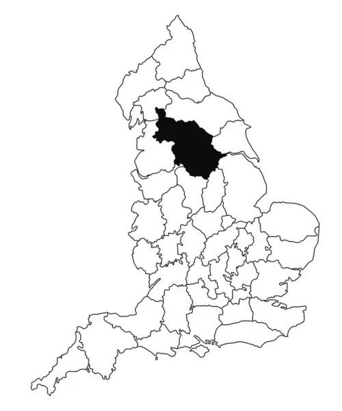
Map of West riding County in England on white background. single County map highlighted by black colour on England administrative map.. United Kingdom, Britain, UK
Map West Riding County England White Background Single County Map — Stock Photo, Image
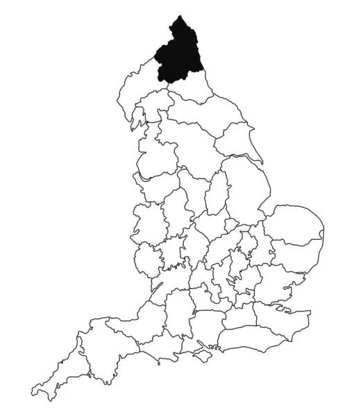
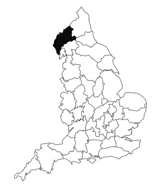
Map of Northumberland County in England on white background. single County map highlighted by black colour on England administrative map.. United Kingdom, Britain, UK
Map Northumberland County England White Background Single County Map Highlighted — Stock Photo, Image
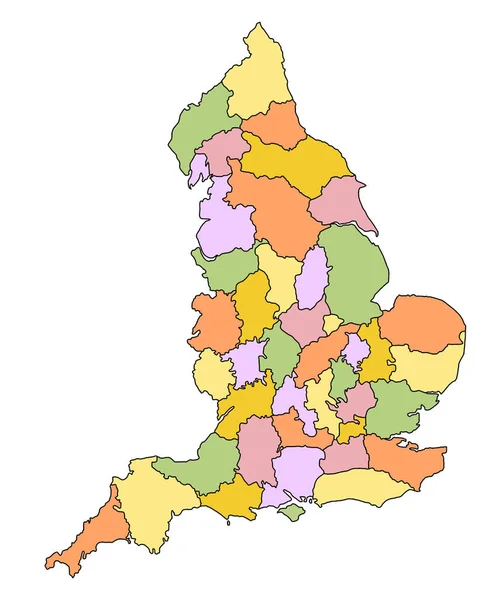
Map of England with borders of the ceremonial counties and different colour. United Kingdom, Britain, UK
Map England Borders Ceremonial Counties Different Colour United Kingdom Britain — Stock Photo, Image
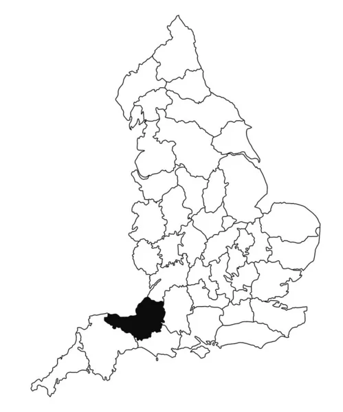
Map of Somerset County in England on white background. single County map highlighted by black colour on England administrative map.. United Kingdom, Britain, UK
Map Somerset County England White Background Single County Map Highlighted — Stock Photo, Image
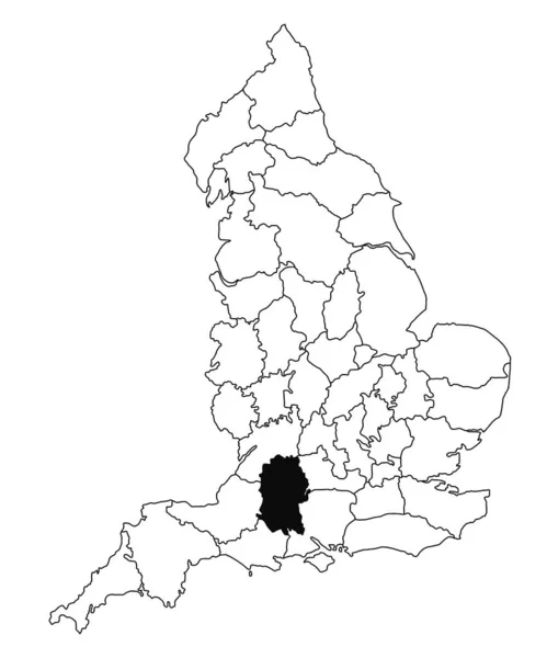
Map of Wiltshire County in England on white background. single County map highlighted by black colour on England administrative map.. United Kingdom, Britain, UK
Map Wiltshire County England White Background Single County Map Highlighted — Stock Photo, Image
Map of Cumberland County in England on white background. single County map highlighted by black colour on England administrative map.. United Kingdom, Britain, UK
Map Cumberland County England White Background Single County Map Highlighted — Stock Photo, Image
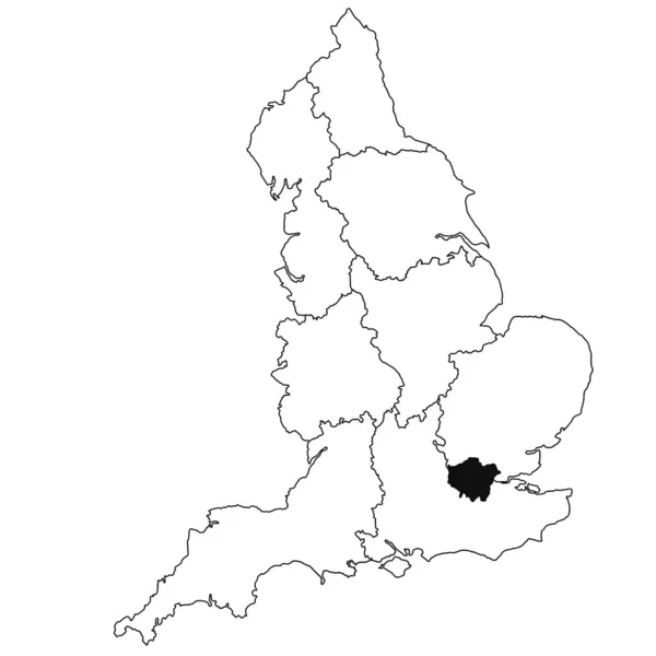
Map of London Province in England on white background. single region map highlighted by black colour on England administrative map.
Map London Province England White Background Single Region Map Highlighted — Stock Photo, Image
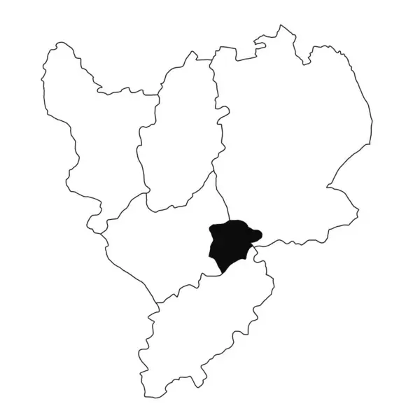
Map of Rutland in East Midlands England province on white background. single County map highlighted by black colour on East Midlands England administrative map.
Map Rutland East Midlands England Province White Background Single County — Stock Photo, Image
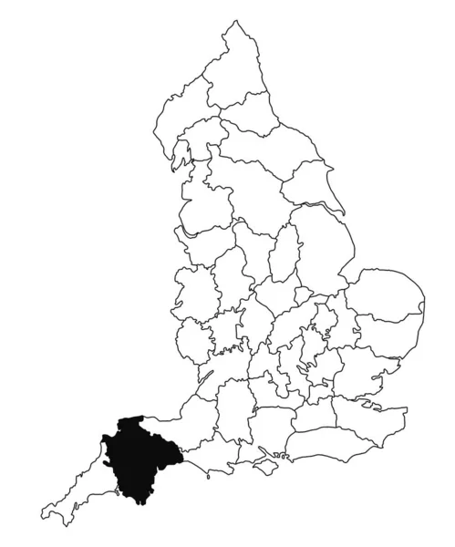
Map of Devon County in England on white background. single County map highlighted by black colour on England administrative map.. United Kingdom, Britain, UK
Map Devon County England White Background Single County Map Highlighted — Stock Photo, Image

Usage Information

You can use this royalty-free photo "Map of Tower Hamlets in Greater London province on white background. single County map highlighted by black colour on Greater London, England administrative map." for personal and commercial purposes according to the Standard or Extended License. The Standard License covers most use cases, including advertising, UI designs, and product packaging, and allows up to 500,000 print copies. The Extended License permits all use cases under the Standard License with unlimited print rights and allows you to use the downloaded stock images for merchandise, product resale, or free distribution.

You can buy this stock photo and download it in high resolution up to 8080x8080. Upload Date: Sep 14, 2023