Mexico State Mexico Bilevel Elevation Map Lakes Rivers Locations Major — Stock Photo, Image

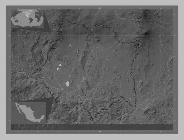
Mexico, state of Mexico. Bilevel elevation map with lakes and rivers. Locations of major cities of the region. Corner auxiliary location maps — Photo

Mexico, state of Mexico. Bilevel elevation map with lakes and rivers. Locations of major cities of the region. Corner auxiliary location maps

 — Photo by Yarr65

Same Series:

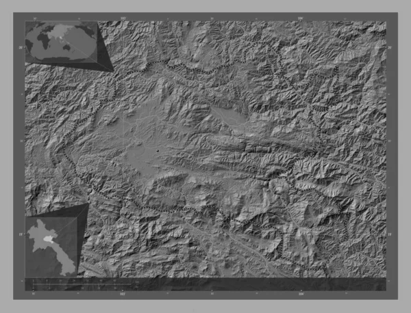
Xiangkhoang, province of Laos. Bilevel elevation map with lakes and rivers. Corner auxiliary location maps
Xiangkhoang Province Laos Bilevel Elevation Map Lakes Rivers Corner Auxiliary — Stock Photo, Image
Debub, region of Eritrea. Bilevel elevation map with lakes and rivers. Corner auxiliary location maps
Debub Region Eritrea Bilevel Elevation Map Lakes Rivers Corner Auxiliary — Stock Photo, Image
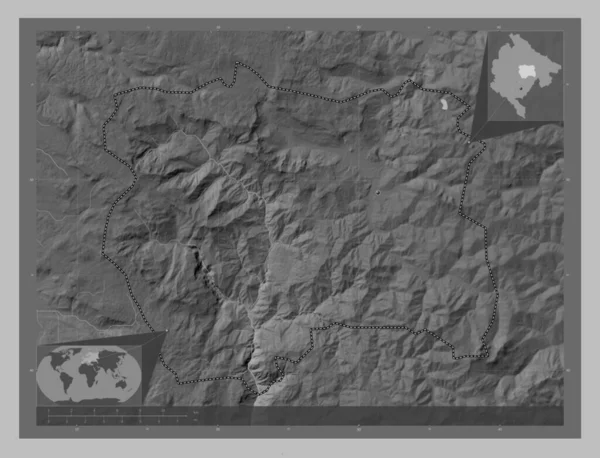
Kolasin, municipality of Montenegro. Grayscale elevation map with lakes and rivers. Corner auxiliary location maps
Kolasin Municipality Montenegro Grayscale Elevation Map Lakes Rivers Corner Auxiliary — Stock Photo, Image
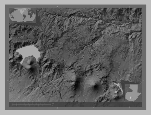
Chimaltenango, department of Guatemala. Grayscale elevation map with lakes and rivers. Corner auxiliary location maps
Chimaltenango Department Guatemala Grayscale Elevation Map Lakes Rivers Corner Auxiliary — Stock Photo, Image
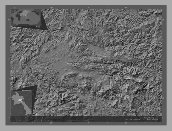
Xiangkhoang, province of Laos. Bilevel elevation map with lakes and rivers. Locations and names of major cities of the region. Corner auxiliary location maps
Xiangkhoang Province Laos Bilevel Elevation Map Lakes Rivers Locations Names — Stock Photo, Image
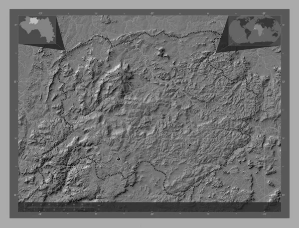
Labe, region of Guinea. Bilevel elevation map with lakes and rivers. Locations of major cities of the region. Corner auxiliary location maps
Labe Region Guinea Bilevel Elevation Map Lakes Rivers Locations Major — Stock Photo, Image
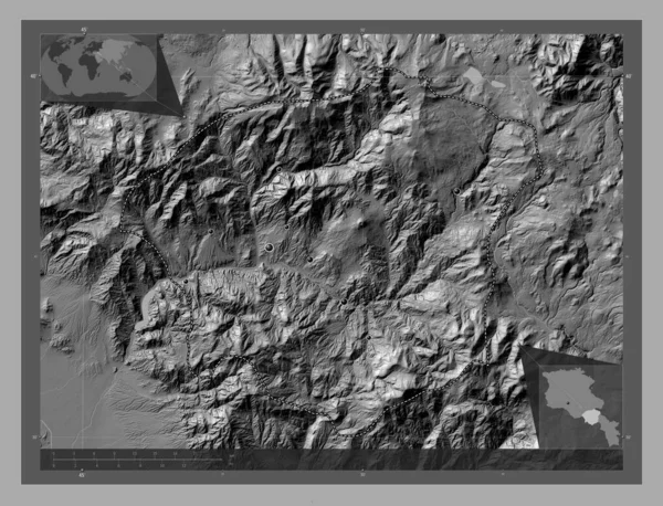
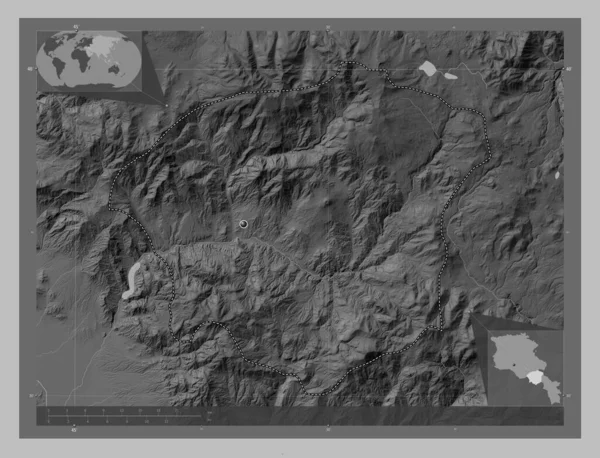
Vayots Dzor, province of Armenia. Bilevel elevation map with lakes and rivers. Locations of major cities of the region. Corner auxiliary location maps
Vayots Dzor Province Armenia Bilevel Elevation Map Lakes Rivers Locations — Stock Photo, Image
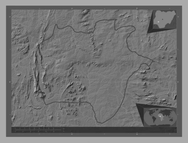
Ekiti, state of Nigeria. Bilevel elevation map with lakes and rivers. Corner auxiliary location maps
Ekiti State Nigeria Bilevel Elevation Map Lakes Rivers Corner Auxiliary — Stock Photo, Image
Sichuan, province of China. Bilevel elevation map with lakes and rivers. Locations of major cities of the region. Corner auxiliary location maps
Sichuan Province China Bilevel Elevation Map Lakes Rivers Locations Major — Stock Photo, Image
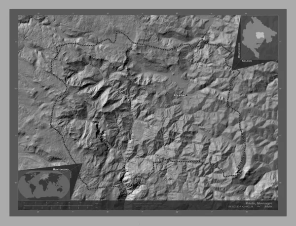
Kolasin, municipality of Montenegro. Bilevel elevation map with lakes and rivers. Locations and names of major cities of the region. Corner auxiliary location maps
Kolasin Municipality Montenegro Bilevel Elevation Map Lakes Rivers Locations Names — Stock Photo, Image
Vayots Dzor, province of Armenia. Grayscale elevation map with lakes and rivers. Corner auxiliary location maps
Vayots Dzor Province Armenia Grayscale Elevation Map Lakes Rivers Corner — Stock Photo, Image
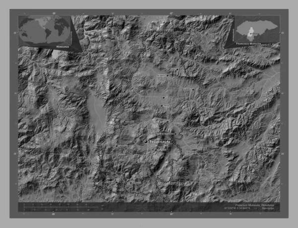
Francisco Morazan, department of Honduras. Bilevel elevation map with lakes and rivers. Locations and names of major cities of the region. Corner auxiliary location maps
Francisco Morazan Department Honduras Bilevel Elevation Map Lakes Rivers Locations — Stock Photo, Image
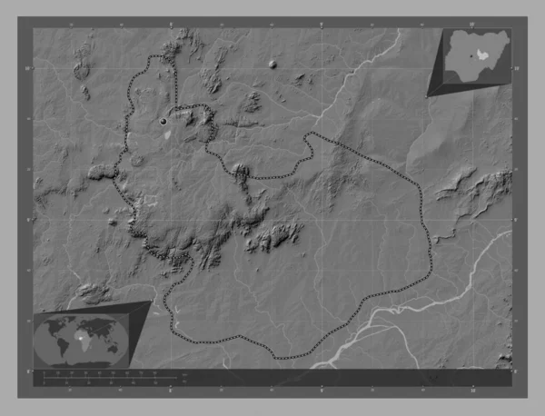
Plateau, state of Nigeria. Bilevel elevation map with lakes and rivers. Corner auxiliary location maps
Plateau State Nigeria Bilevel Elevation Map Lakes Rivers Corner Auxiliary — Stock Photo, Image
Morelos, state of Mexico. Grayscale elevation map with lakes and rivers. Locations of major cities of the region. Corner auxiliary location maps
Morelos State Mexico Grayscale Elevation Map Lakes Rivers Locations Major — Stock Photo, Image
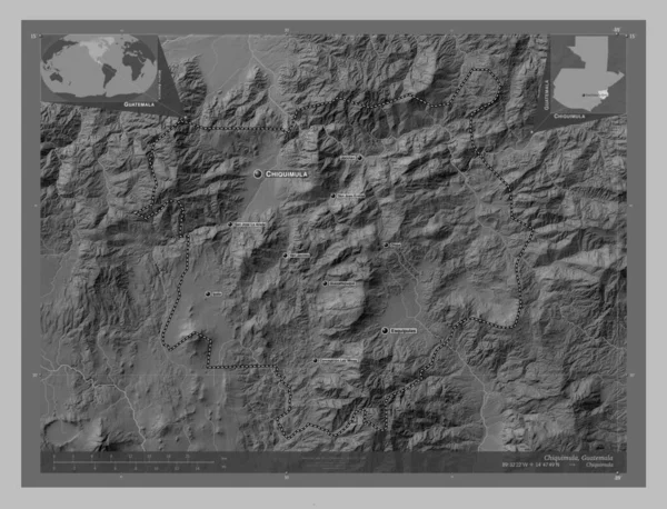
Chiquimula, department of Guatemala. Grayscale elevation map with lakes and rivers. Locations and names of major cities of the region. Corner auxiliary location maps
Chiquimula Department Guatemala Grayscale Elevation Map Lakes Rivers Locations Names — Stock Photo, Image
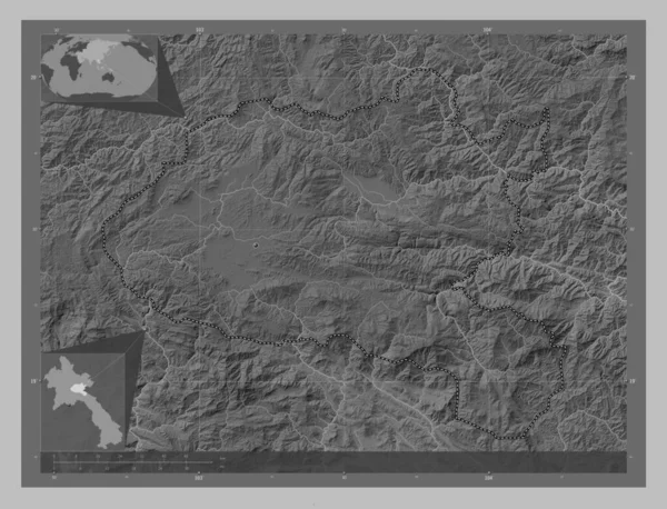
Xiangkhoang, province of Laos. Grayscale elevation map with lakes and rivers. Corner auxiliary location maps
Xiangkhoang Province Laos Grayscale Elevation Map Lakes Rivers Corner Auxiliary — Stock Photo, Image

Usage Information

You can use this royalty-free photo "Mexico, state of Mexico. Bilevel elevation map with lakes and rivers. Locations of major cities of the region. Corner auxiliary location maps" for personal and commercial purposes according to the Standard or Extended License. The Standard License covers most use cases, including advertising, UI designs, and product packaging, and allows up to 500,000 print copies. The Extended License permits all use cases under the Standard License with unlimited print rights and allows you to use the downloaded stock images for merchandise, product resale, or free distribution.

You can buy this stock photo and download it in high resolution up to 4930x3770. Upload Date: Oct 29, 2022