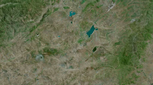
Ningxia Hui Autonomous Region China Satellite Imagery Shape Outlined Its — Stock Photo, Image

Ningxia Hui, autonomous region of China. Satellite imagery. Shape outlined against its country area. 3D rendering — Photo

Ningxia Hui, autonomous region of China. Satellite imagery. Shape outlined against its country area. 3D rendering

 — Photo by Yarr65

Same Series:

Qyzylorda, region of Kazakhstan. Satellite imagery. Shape outlined against its country area. 3D rendering
Qyzylorda Region Kazakhstan Satellite Imagery Shape Outlined Its Country Area — Stock Photo, Image
Turkana, county of Kenya. Satellite imagery. Shape outlined against its country area. 3D rendering
Turkana County Kenya Satellite Imagery Shape Outlined Its Country Area — Stock Photo, Image
Kyrgyzstan zoomed and neighborhood. Satellite imagery. 3D rendering
Kyrgyzstan Zoomed Neighborhood Satellite Imagery Rendering — Stock Photo, Image
Diyala, province of Iraq. Satellite imagery. Shape outlined against its country area. 3D rendering
Diyala Province Iraq Satellite Imagery Shape Outlined Its Country Area — Stock Photo, Image
Extended area of Czech Republic. Satellite imagery. 3D rendering
Extended Area Czech Republic Satellite Imagery Rendering — Stock Photo, Image
Matabeleland North, province of Zimbabwe. Satellite imagery. Shape outlined against its country area. 3D rendering
Matabeleland North Province Zimbabwe Satellite Imagery Shape Outlined Its Country — Stock Photo, Image
Sacatepequez , department of Guatemala. Satellite imagery. Shape outlined against its country area. 3D rendering
Sacatepequez Department Guatemala Satellite Imagery Shape Outlined Its Country Area — Stock Photo, Image
Baden-Wurttemberg , state of Germany. Satellite imagery. Shape outlined against its country area. 3D rendering
Baden Wurttemberg State Germany Satellite Imagery Shape Outlined Its Country — Stock Photo, Image
La Rioja, autonomous community of Spain. Satellite imagery. Shape outlined against its country area. 3D rendering
Rioja Autonomous Community Spain Satellite Imagery Shape Outlined Its Country — Stock Photo, Image
Extended area of outlined Niger. Satellite imagery. 3D rendering
Extended Area Outlined Niger Satellite Imagery Rendering — Stock Photo, Image
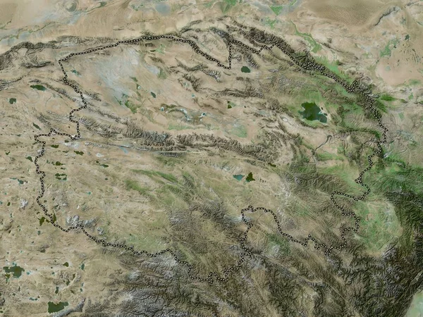
Qinghai, province of China. High resolution satellite map
Qinghai Province China High Resolution Satellite Map — Stock Photo, Image
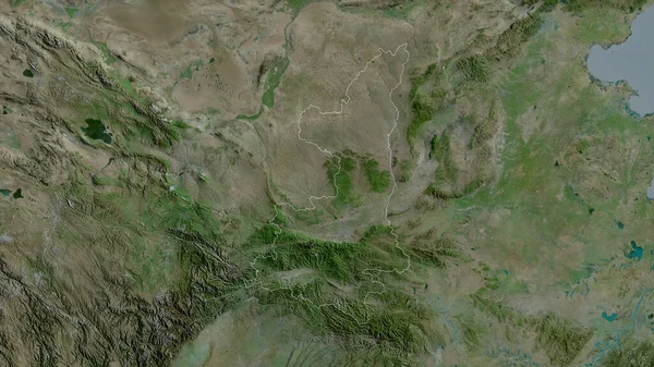
Shaanxi, province of China. Satellite imagery. Shape outlined against its country area. 3D rendering
Shaanxi Province China Satellite Imagery Shape Outlined Its Country Area — Stock Photo, Image
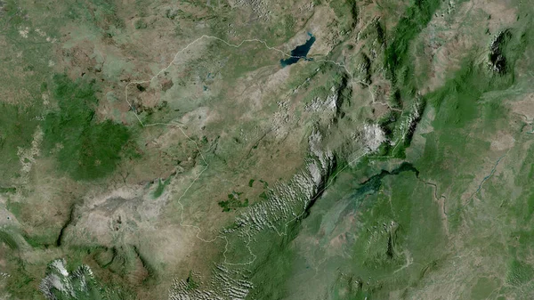
Iringa, region of Tanzania. Satellite imagery. Shape outlined against its country area. 3D rendering
Iringa Region Tanzania Satellite Imagery Shape Outlined Its Country Area — Stock Photo, Image
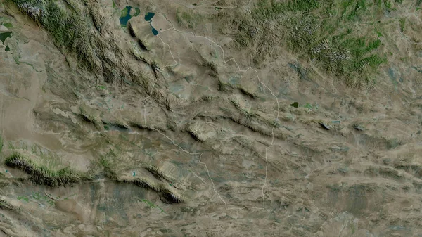
Govi-Altay, province of Mongolia. Satellite imagery. Shape outlined against its country area. 3D rendering
Govi Altay Province Mongolia Satellite Imagery Shape Outlined Its Country — Stock Photo, Image
Dornod, province of Mongolia. Satellite imagery. Shape outlined against its country area. 3D rendering
Dornod Province Mongolia Satellite Imagery Shape Outlined Its Country Area — Stock Photo, Image
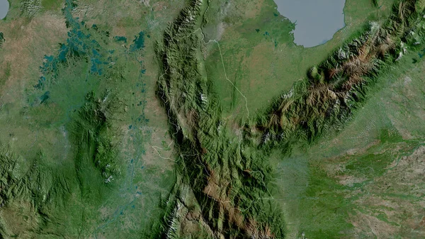
Norte de Santander, department of Colombia. Satellite imagery. Shape outlined against its country area. 3D rendering
Norte Santander Department Colombia Satellite Imagery Shape Outlined Its Country — Stock Photo, Image

Usage Information

You can use this royalty-free photo "Ningxia Hui, autonomous region of China. Satellite imagery. Shape outlined against its country area. 3D rendering" for personal and commercial purposes according to the Standard or Extended License. The Standard License covers most use cases, including advertising, UI designs, and product packaging, and allows up to 500,000 print copies. The Extended License permits all use cases under the Standard License with unlimited print rights and allows you to use the downloaded stock images for merchandise, product resale, or free distribution.

You can buy this stock photo and download it in high resolution up to 2880x1620. Upload Date: Jun 19, 2020