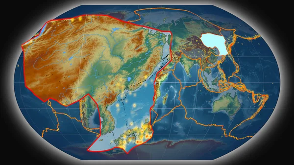
Outlined Eurasian Tectonic Plate Topographic Map Separated Desaturation Its Adjacent — Stock Photo, Image

Outlined Eurasian tectonic plate on the topographic map separated by desaturation of its adjacent areas. Van der Grinten I projection (oblique transformation) — Photo

Outlined Eurasian tectonic plate on the topographic map separated by desaturation of its adjacent areas. Van der Grinten I projection (oblique transformation)

 — Photo by Yarr65

Same Series:

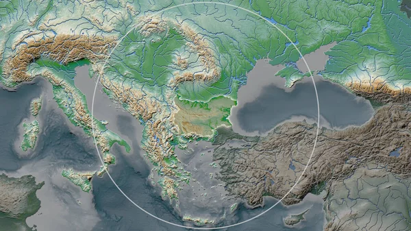
Enlarged area of Bulgaria surrounded by a circle on the background of its neighborhood. Color physical map
Enlarged Area Bulgaria Surrounded Circle Background Its Neighborhood Color Physical — Stock Photo, Image
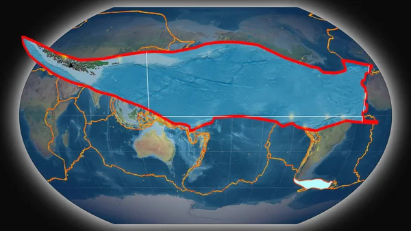
Outlined Antarctica tectonic plate on the topographic map separated by desaturation of its adjacent areas. Van der Grinten I projection (oblique transformation)
Outlined Antarctica Tectonic Plate Topographic Map Separated Desaturation Its Adjacent — Stock Photo, Image
Outlined Pacific tectonic plate and borders of adjacent plates on the satellite B map in the van der Grinten I projection (oblique transformation)
Outlined Pacific Tectonic Plate Borders Adjacent Plates Satellite Map Van — Stock Photo, Image
Scotian tectonic plate extruded and presented against the global topographic map in the Kavrayskiy projection. 3D rendering
Scotian Tectonic Plate Extruded Presented Global Topographic Map Kavrayskiy Projection — Stock Photo, Image
The highlighted area of China with capital point on the desaturated map of its neighbourhood. Satellite imagery
Highlighted Area China Capital Point Desaturated Map Its Neighbourhood Satellite — Stock Photo, Image
Neighborhoods of the Eurasian tectonic plate on the physical map in the van der Grinten I projection (oblique transformation). Raw composite - no outlines
Neighborhoods Eurasian Tectonic Plate Physical Map Van Der Grinten Projection — Stock Photo, Image
Outlined Pacific tectonic plate on the topographic map separated by desaturation of its adjacent areas. Van der Grinten I projection (oblique transformation)
Outlined Pacific Tectonic Plate Topographic Map Separated Desaturation Its Adjacent — Stock Photo, Image
Outlined North American tectonic plate and borders of adjacent plates on the physical map in the van der Grinten I projection (oblique transformation)
Outlined North American Tectonic Plate Borders Adjacent Plates Physical Map — Stock Photo, Image
Tectonic plates borders on the physical map of areas adjacent to the Pacific plate area. Van der Grinten I projection (oblique transformation)
Tectonic Plates Borders Physical Map Areas Adjacent Pacific Plate Area — Stock Photo, Image
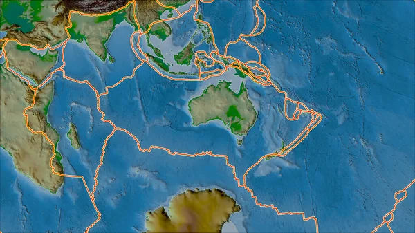
Tectonic plates borders on the physical map of areas adjacent to the Australian plate area. Van der Grinten I projection (oblique transformation)
Tectonic Plates Borders Physical Map Areas Adjacent Australian Plate Area — Stock Photo, Image
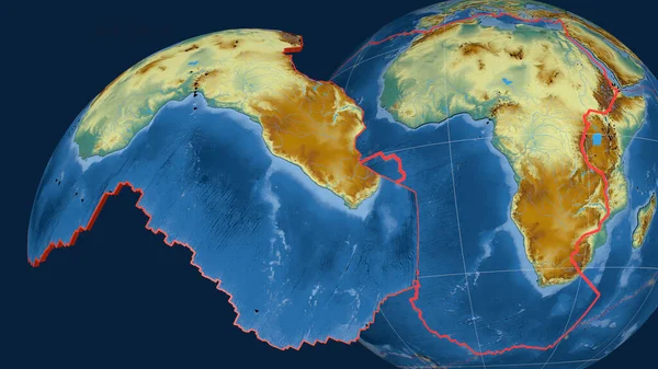
African tectonic plate extruded and presented against the globe. topographic relief map. 3D rendering
African Tectonic Plate Extruded Presented Globe Topographic Relief Map Rendering — Stock Photo, Image
Tectonic plates borders on the topographic map of areas adjacent to the Eurasian plate area. Van der Grinten I projection (oblique transformation)
Tectonic Plates Borders Topographic Map Areas Adjacent Eurasian Plate Area — Stock Photo, Image
Neighborhoods of the Eurasian tectonic plate on the relief map in the van der Grinten I projection (oblique transformation). Raw composite - no outlines
Neighborhoods Eurasian Tectonic Plate Relief Map Van Der Grinten Projection — Stock Photo, Image
Eurasian tectonic plate outlined on the globe. topography and bathymetry colored elevation map. 3D rendering
Eurasian Tectonic Plate Outlined Globe Topography Bathymetry Colored Elevation Map — Stock Photo, Image
Amur tectonic plate extruded and presented against the global topographic relief map in the Kavrayskiy projection. 3D rendering
Amur Tectonic Plate Extruded Presented Global Topographic Relief Map Kavrayskiy — Stock Photo, Image
Eurasiann tectonic plate enlarged, extruded and rotated to the north side the global color physical map in the Azimuthal Equidistant projection with dashed plates borders. 3D rendering
Eurasiann Tectonic Plate Enlarged Extruded Rotated North Side Global Color — Stock Photo, Image

Usage Information

You can use this royalty-free photo "Outlined Eurasian tectonic plate on the topographic map separated by desaturation of its adjacent areas. Van der Grinten I projection (oblique transformation)" for personal and commercial purposes according to the Standard or Extended License. The Standard License covers most use cases, including advertising, UI designs, and product packaging, and allows up to 500,000 print copies. The Extended License permits all use cases under the Standard License with unlimited print rights and allows you to use the downloaded stock images for merchandise, product resale, or free distribution.

You can buy this stock photo and download it in high resolution up to 2880x1620. Upload Date: Jun 20, 2020