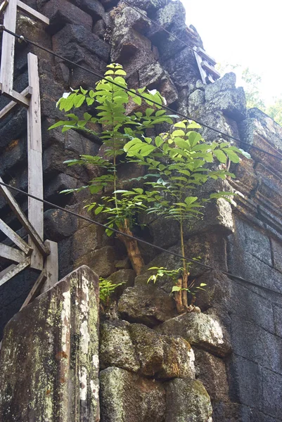
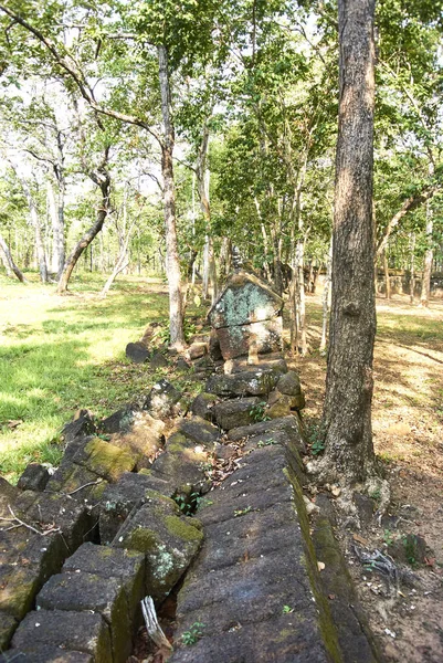
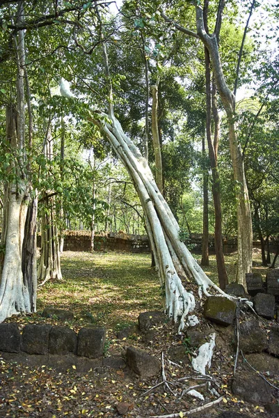
Prasat Thom Prang temple Angkor Era — Stock Photo, Image

Prasat Thom Prang temple Angkor Era — Photo

Koh Ker is situated between the southern slopes of the Dangrek mountains, the Kulen mountains (Phnom Kulen) in the south-west and the Tbeng mountain (Phnom Tbeng, near Tbeng Meanchey) in the east. Most parts of the hilly ground are covered by jungle,

 — Photo by tbrissiaud@gmail.com

Same Series:

Koh Ker is situated between the southern slopes of the Dangrek mountains, the Kulen mountains (Phnom Kulen) in the south-west and the Tbeng mountain (Phnom Tbeng, near Tbeng Meanchey) in the east. Most parts of the hilly ground are covered by jungle,
Prasat Thom Prang temple Angkor Era — Stock Photo, Image
Among those rarely visited monuments in Cambodia this is one of the most romantic Khmer ruins at all. Indeed, Prasat Banteay Pee Chean, dedicated in 937, is one of the most picturesque monuments of Koh Ker. It will comes close to your phantasies abou
Prasat Banteay pir chean temple Angkor era — Stock Photo, Image
A small path leads from the ring-road to the Prasat Damrei (damrei elephant). This sanctuary has an enclosure and stands on a high platform. On each of its four sides is a staircase with about ten steps. Eight stone lions once flanked the stairs bu
Prasat Damrei Temple Angkor Era — Stock Photo, Image
Among those rarely visited monuments in Cambodia this is one of the most romantic Khmer ruins at all. Indeed, Prasat Banteay Pee Chean, dedicated in 937, is one of the most picturesque monuments of Koh Ker. It will comes close to your phantasies abou
Prasat Banteay pir chean temple Angkor era — Stock Photo, Image
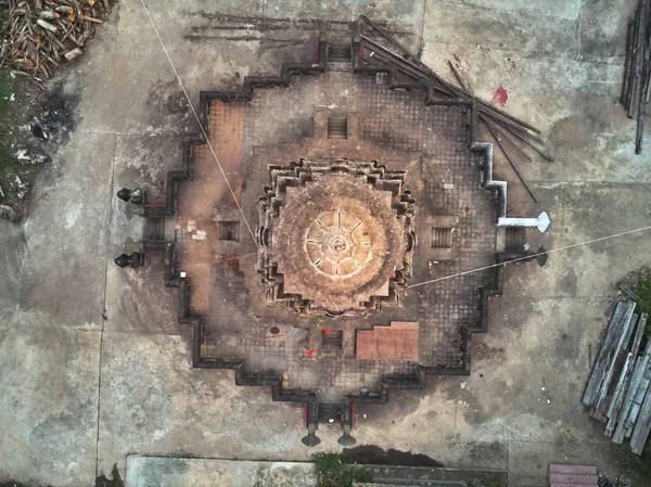
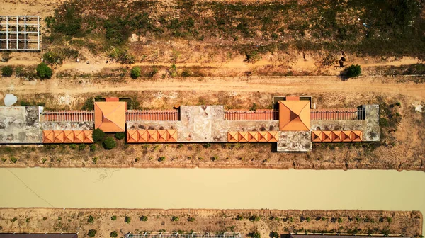
Aerial drone view topdown eagle eye of a traditionnal temple pagoda cemetery in siem reap cambodia asia
Aerial drone view  of a traditionnal cambodian temple — Stock Photo, Image
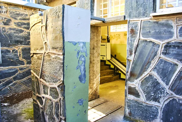
Robben Island (Afrikaans: Robbeneiland) island in Table Bay, west of the coast of Bloubergstrand, Cape Town, South Africa. The name is Dutch for "seal island." Robben Island is roughly oval in shape, It is flat and only a few metres above sea level,
Robben Island Afrikaans Robbeneiland Island Table Bay West Coast Bloubergstrand — Stock Photo, Image
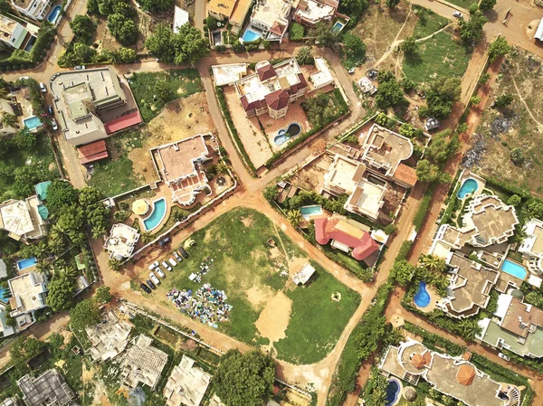
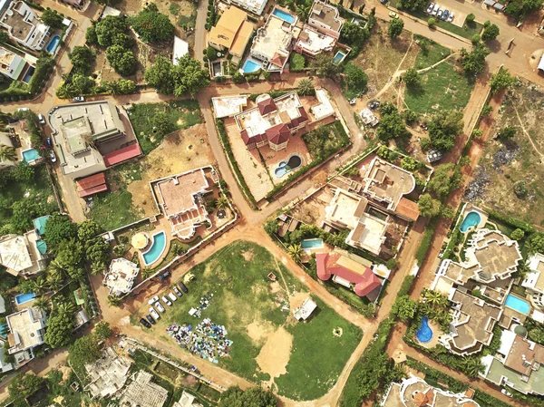
Bamako is the capital and largest city of Mali, with a population of 1.8 million. In 2006, it was estimated to be the fastest-growing city in Africa and sixth-fastest in the world. It is located on the Niger River, near the rapids that divide the upp
Bamako Capital Largest City Mali Population Million 2006 Estimated Fastest — Stock Photo, Image
Aerial drone view topdown eagle eye of a traditionnal temple pagoda cemetery in siem reap cambodia asia
Aerial drone view  of a traditionnal cambodian temple — Stock Photo, Image
Aerial drone view topdown eagle eye of a traditionnal temple pagoda cemetery in siem reap cambodia asia Phnom Krom
Aerial view of Phnom Krom pagoda — Stock Photo, Image
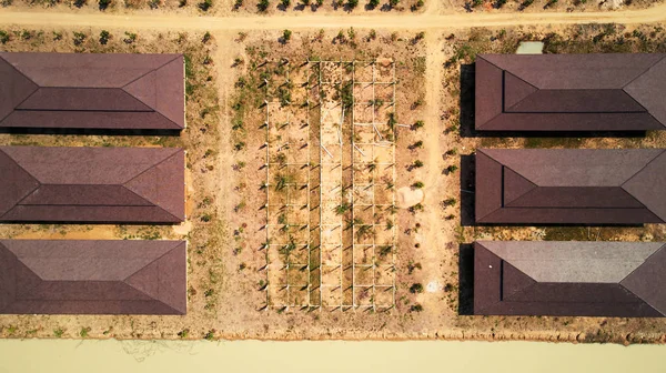
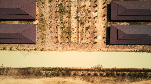
Drone Aerial view of industril park near tonle-sap lake in Siem-Reap, Cambodia, march 2018
Aerial view of industril park — Stock Photo, Image
Drone Aerial view of industril park near tonle-sap lake in Siem-Reap, Cambodia, march 2018
Aerial view of industril park — Stock Photo, Image
Bamako is the capital and largest city of Mali, with a population of 1.8 million. In 2006, it was estimated to be the fastest-growing city in Africa and sixth-fastest in the world. It is located on the Niger River, near the rapids that divide the upp
Bamako Capital Largest City Mali Population Million 2006 Estimated Fastest — Stock Photo, Image
Drone Aerial view of industril park near tonle-sap lake in Siem-Reap, Cambodia, march 2018
Aerial view of industril park — Stock Photo, Image
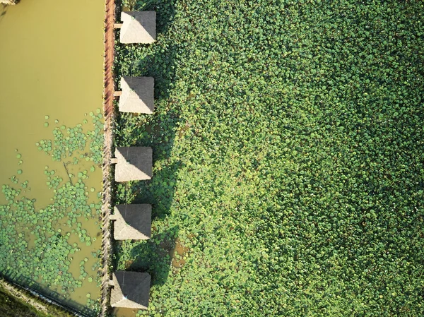
Aerial drone view topdown of a lotus farm in rural Cambodia countryside
Aerial view of lotus farm — Stock Photo, Image
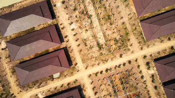
Drone Aerial view of industril park near tonle-sap lake in Siem-Reap, Cambodia, march 2018
Aerial view of industril park — Stock Photo, Image
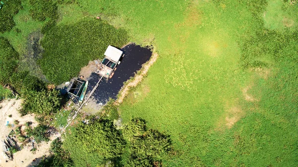
Drone Aerial view of lake in Siem-Reap, Cambodia, with fisherman boat
Aerial view of lake in Siem-Reap, Cambodia, with fisherman boat — Stock Photo, Image

Usage Information

You can use this royalty-free photo "Prasat Thom Prang temple Angkor Era" for personal and commercial purposes according to the Standard or Extended License. The Standard License covers most use cases, including advertising, UI designs, and product packaging, and allows up to 500,000 print copies. The Extended License permits all use cases under the Standard License with unlimited print rights and allows you to use the downloaded stock images for merchandise, product resale, or free distribution.

You can buy this stock photo and download it in high resolution up to 3872x2592. Upload Date: Apr 26, 2018