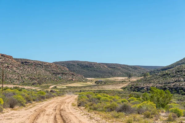
Road to Korannaberg Adventures, with the Korannaberg in the back — Stock Photo, Image

Road to Korannaberg Adventures, with the Korannaberg in the back — Photo

The road to Korannaberg Adventures, with the Korannaberg in the back

 — Photo by dpreezg

Same Series:

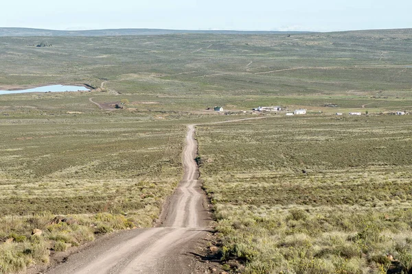
Road landscape on the Bo-Visrivier road near Sutherland in the Northern Cape Province. The farm Driefontein is visible
Road Landscape Visrivier Road Sutherland Northern Cape Province Farm Driefontein — Stock Photo, Image
DORINGBOS, SOUTH AFRICA, AUGUST 28, 2018: Rooibos Heritage Route turn-off from road R364 in the Western Cape Province of South Africa
Doringbos South Africa August 2018 Rooibos Heritage Route Turn Road — Stock Photo, Image
The single lane conrete road between Willowmore and Steytlerville in the Eastern Cape Province. Agave plants are visible
Single Lane Conrete Road Willowmore Steytlerville Eastern Cape Province Agave — Stock Photo, Image
A gravel road landscape near Fouriesburg, with cosmos flowers, a pedestrian and backdrop of a brewing storm
Gravel Road Landscape Fouriesburg Cosmos Flowers Pedestrian Backdrop Brewing Storm — Stock Photo, Image
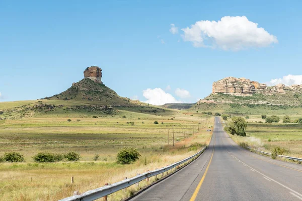
Typical sandstone hill landscape along the R711-road between Fouriesburg and Clarens in the Free State Province of South Africa
Typical sandstone hill landscape between Fouriesburg and Clarens — Stock Photo, Image
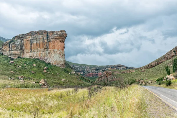
The Brandwag buttress, a sandstone cliff, at Golden Gate. Road R712 is visible
Brandwag Buttress Sandstone Cliff Golden Gate Road R712 Visible — Stock Photo, Image
CAMDEBOO NATIONAL PARK, SOUTH AFRICA - MARCH 22, 2017: A road in the Cambdeboo National Park with the Nqweba dam and Graaff Reinet in the distance
Cambdeboo National Park, Nqweba dam and Graaff Reinet — Stock Photo, Image
Landscape on road R329 between Willowmore and Steytlerville in the Eastern Cape Province. A farm building is visible
Landscape Road R329 Willowmore Steytlerville Eastern Cape Province Farm Building — Stock Photo, Image
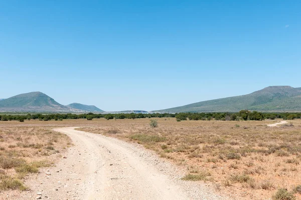
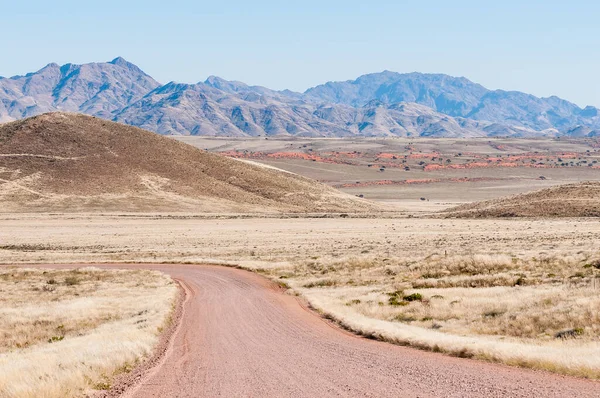
Road and mountain landscape on road C27 in the Namibrand area
Road Mountain Landscape Road C27 Namibrand Area — Stock Photo, Image
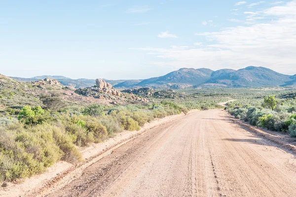
The road from Kamieskroon to Skilpad in the Namaqualand Region of South Africa
Road from Kamieskroon to Skilpad — Stock Photo, Image
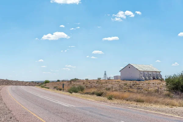
Karos, South Africa - Feb 24, 2023: An abandoned school building on road N10 near Karos in the Northern Cape Province
Karos South Africa Feb 2023 Abandoned School Building Road N10 — Stock Photo, Image
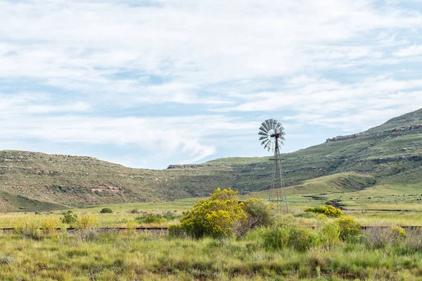
A landscape with a water-pumping windmill and the historic railway track between Lady Grey and Barkly East in the Eastern Cape Province
Landscape Water Pumping Windmill Historic Railway Track Lady Grey Barkly — Stock Photo, Image
Rooibos tea fields on the Rooibos Heritage Route in the Northern Cape Province of South Africa
Rooibos Tea Fields Rooibos Heritage Route Northern Cape Province South — Stock Photo, Image
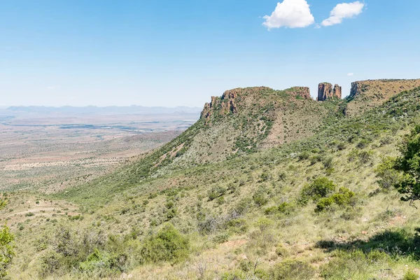
View of dolerite columns with the Valley of Desolation below as seen from the road to viewpoint next to the columns near Graaff Reinet
Dolerite columns with the Valley of Desolation — Stock Photo, Image
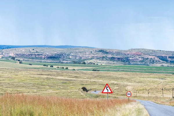
The landscape on road R26 to the south of Fouriesburg. Road signs are visible
Landscape Road R26 South Fouriesburg Road Signs Visible — Stock Photo, Image
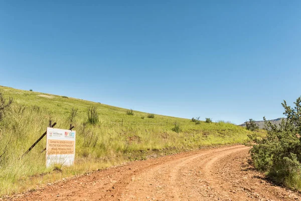
ELANDS HEIGHT PASS, SOUTH AFRICA - MARCH 27, 2018: A road maintenance information sign on the Elands Height Pass in the Eastern Cape Province
Elands Height Pass South Africa March 2018 Road Maintenance Information — Stock Photo, Image

Usage Information

You can use this royalty-free photo "Road to Korannaberg Adventures, with the Korannaberg in the back" for personal and commercial purposes according to the Standard or Extended License. The Standard License covers most use cases, including advertising, UI designs, and product packaging, and allows up to 500,000 print copies. The Extended License permits all use cases under the Standard License with unlimited print rights and allows you to use the downloaded stock images for merchandise, product resale, or free distribution.

You can buy this stock photo and download it in high resolution up to 3146x2100. Upload Date: Feb 18, 2018