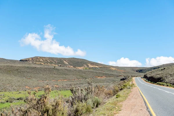
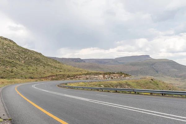
Rubidge Kloof Pass on the scenic Owl Route — Stock Photo, Image

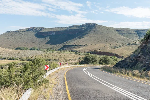
Rubidge Kloof Pass on the scenic Owl Route — Photo

The view from the Rubidge Kloof Pass on the scenic Owl Route near Nieu-Betesda, an historic village in the Eastern Cape Province

 — Photo by dpreezg

Same Series:

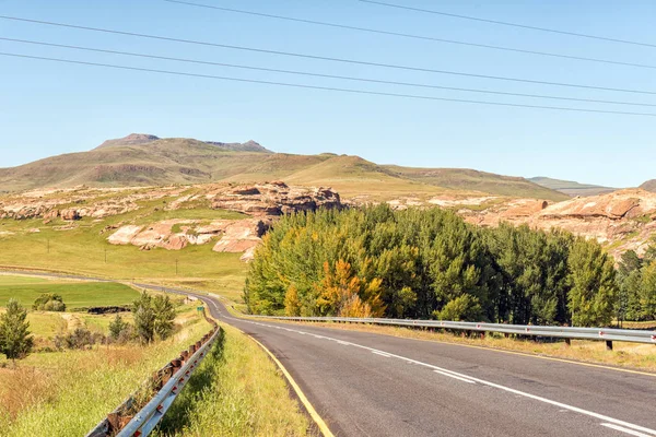
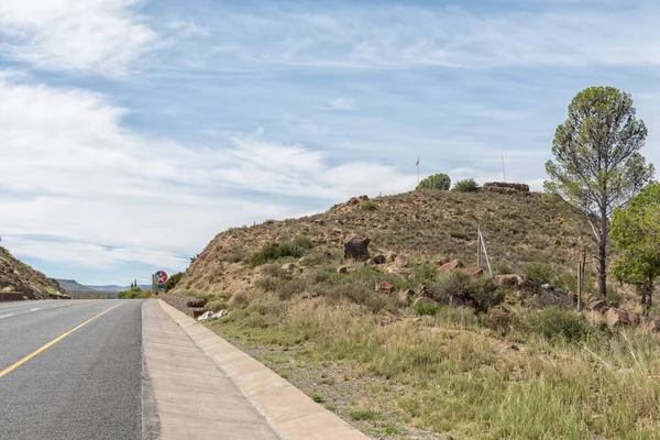
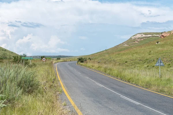
A farm landscape next to road R58 between Barkly-East and Barkly Pass in the Eastern Cape Province of South Africa
Farm Landscape Next Road R58 Barkly East Barkly Pass Eastern — Stock Photo, Image
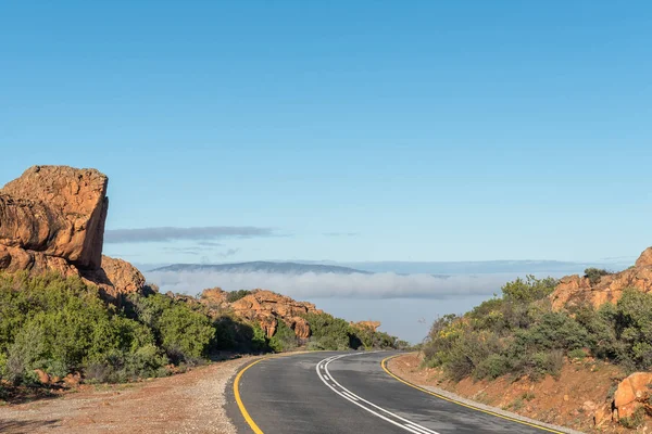
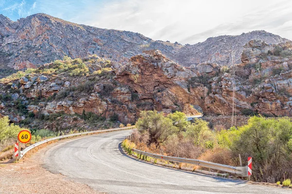
The Pakhuis Pass in the Cederberg Mountains of the Western Cape Province
Pakhuis Pass Cederberg Mountains Western Cape Province — Stock Photo, Image
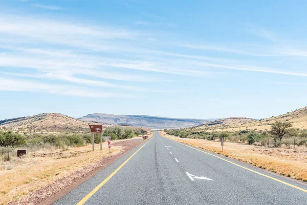
The scenic Owl Route to Nieu-Betesda, an historic village in the Eastern Cape Province
Scenic Owl Route to Nieu-Betesda — Stock Photo, Image
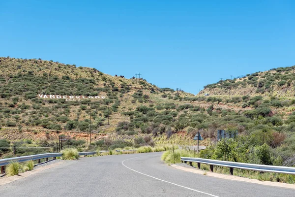
Road to the dam wall of the Vanderkloof Dam in the Orange River. The name of the Dam is visible on the hill side
Road Dam Wall Vanderkloof Dam Orange River Name Dam Visible — Stock Photo, Image
The Hottentotskloof Pass on road R46 near Ceres in the Western Cape Province. A trucks is visible
Hottentotskloof Pass Road R46 Ceres Western Cape Province Trucks Visible — Stock Photo, Image
A British fort is visible on Flag Hill, also called Vegkop, next to road N1 in Richmond in the Northern Cape Karoo. A flag is visible
British Fort Visible Flag Hill Also Called Vegkop Next Road — Stock Photo, Image
A road landscape at Keurbos in the Cederberg Mountains of the Western Cape Province of South Africa
Road Landscape Keurbos Cederberg Mountains Western Cape Province South Africa — Stock Photo, Image
A resting place on the N8 road between Griekwastad and Groblershoop in the Northern Cape Province
Resting place on the N8 road between Griekwastad and Groblershoo — Stock Photo, Image
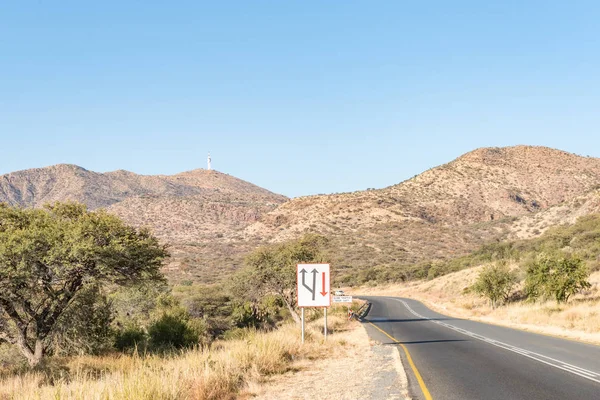
Looking South on the B1-road to the South of Windhoek, the capital city of Namibia. A microwave telecommunications tower is visible on Grossherzog Friedrich Mountain
The B1-road to the South of Windhoek — Stock Photo, Image
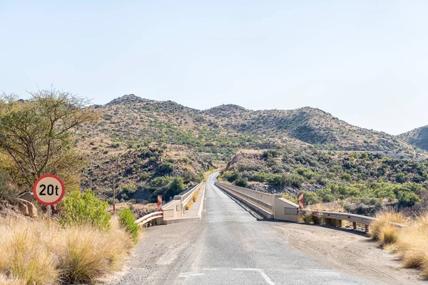
The single lane road bridge over the Orange River below the Vanderkloof Dam
Single Lane Road Bridge Orange River Vanderkloof Dam — Stock Photo, Image
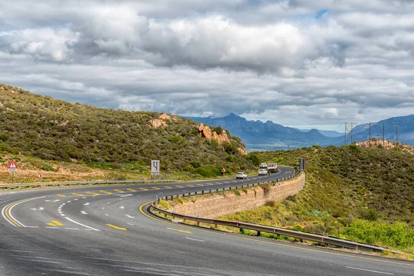
CITRUSDAL, SOUTH AFRICA, AUGUST 22, 2018: Vehicles at the top of the Piekenierskloof Pass between Piketberg and Citrusdal in the Western Cape Province
Citrusdal South Africa August 2018 Vehicles Top Piekenierskloof Pass Piketberg — Stock Photo, Image
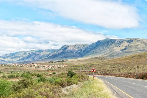
A view of the Riviersonderend Mountains with a township in Genadendal at its feet
View of the Riviersonderend Mountains and a township in Genadend — Stock Photo, Image
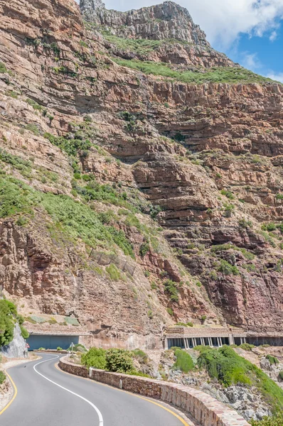
Chapmans Peak, a scenic drive between Noordhoek and Hout Bay
Chapmans Peak drive — Stock Photo, Image
The view at the top of the Lootsberg Pass in the Eastern Cape Province. The pass is often closed due to snow during winter
View at the top of the Lootsberg Pass — Stock Photo, Image
A road tunnel, with an old British fort from the Boer War on the hill above, between Montagu and Ashton in the Western Cape Province
Tunnel and British fort from the Boer War near Montagu — Stock Photo, Image
The landscape on road R712 near Glen Reenen in Golden Gate
Landscape Road R712 Glen Reenen Golden Gate — Stock Photo, Image

Usage Information

You can use this royalty-free photo "Rubidge Kloof Pass on the scenic Owl Route" for personal and commercial purposes according to the Standard or Extended License. The Standard License covers most use cases, including advertising, UI designs, and product packaging, and allows up to 500,000 print copies. The Extended License permits all use cases under the Standard License with unlimited print rights and allows you to use the downloaded stock images for merchandise, product resale, or free distribution.

You can buy this stock photo and download it in high resolution up to 3595x2400. Upload Date: Apr 10, 2017