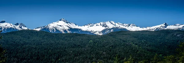
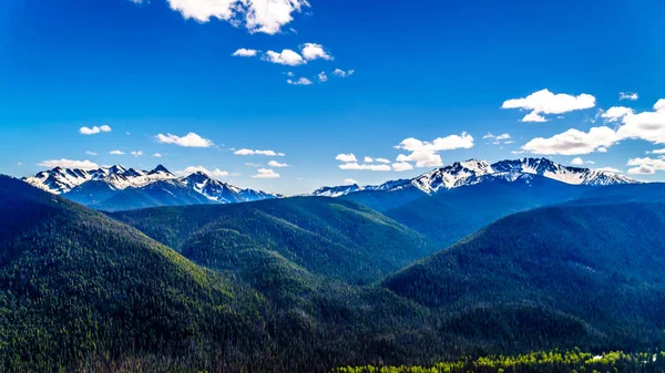
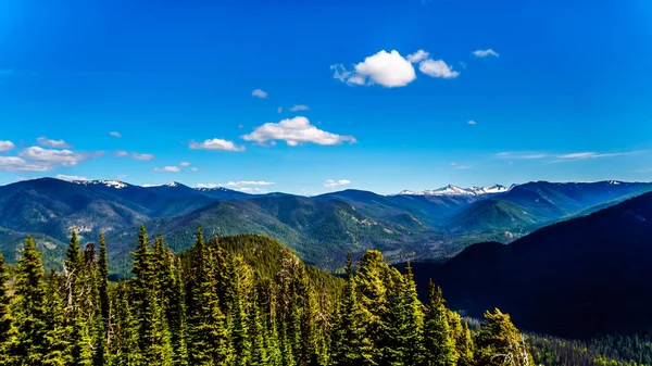
Rugged Peaks Cascade Mountain Range Canada Border Seen Cascade Lookout — Stock Photo, Image

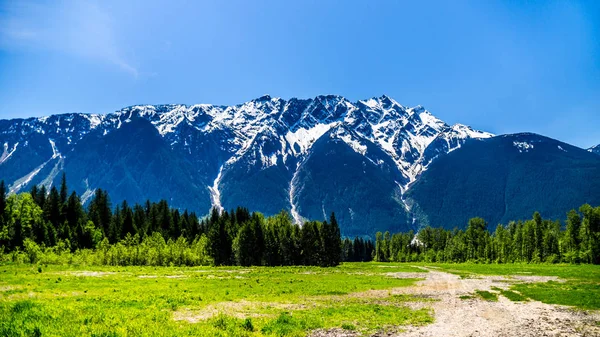
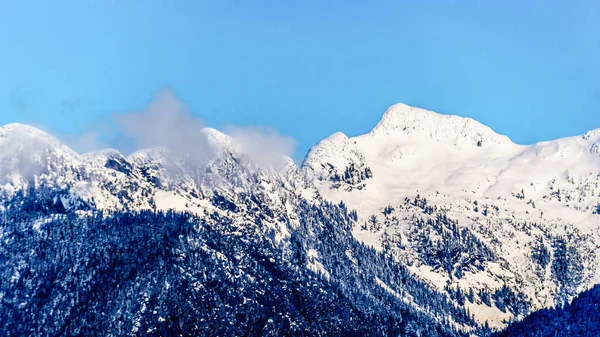
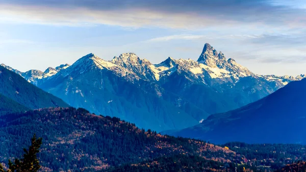
Rugged Peaks of the Cascade Mountain Range on the US-Canada border as seen from the Cascade Lookout viewpoint in EC Manning Provincial Park in Beautiful British Columbia, Canada — Photo

Rugged Peaks of the Cascade Mountain Range on the US-Canada border as seen from the Cascade Lookout viewpoint in EC Manning Provincial Park in Beautiful British Columbia, Canada

 — Photo by harrybeugelink@gmail.com

Same Series:

Rugged Peaks of the Cascade Mountain Range on the US-Canada border as seen from the Cascade Lookout viewpoint in EC Manning Provincial Park in Beautiful British Columbia, Canada
Rugged Peaks Cascade Mountain Range Canada Border Seen Cascade Lookout — Stock Photo, Image
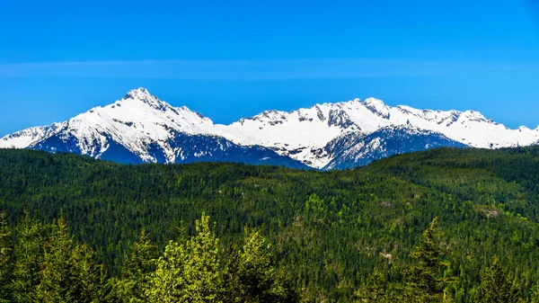
Panorama View of the Tantalus Range. The view is from a Viewpoint on the Sea to Sky Highway between Squamish and Whistler, British Columbia, Canada
Panorama View Tantalus Range View Viewpoint Sea Sky Highway Squamish — Stock Photo, Image
Rugged Peaks of the Cascade Mountain Range on the US-Canada border as seen from the Cascade Lookout viewpoint in EC Manning Provincial Park in Beautiful British Columbia, Canada
Rugged Peaks Cascade Mountain Range Canada Border Seen Cascade Lookout — Stock Photo, Image
Rugged Peaks of the Cascade Mountain Range on the US-Canada border as seen from the Cascade Lookout viewpoint in EC Manning Provincial Park in British Columbia, Canada
Rugged Peaks Cascade Mountain Range Canada Border Seen Cascade Lookout — Stock Photo, Image
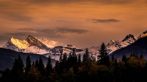
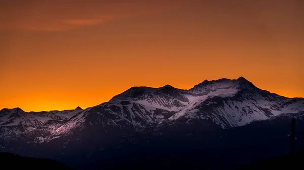
Sunset over Mount Chamberline and Mount Goslin in the Canadian Rockies in British Columbia, Canada. Viewed from Mount Robson Provincial Park
Sunset Mount Chamberline Mount Goslin Canadian Rockies British Columbia Canada — Stock Photo, Image
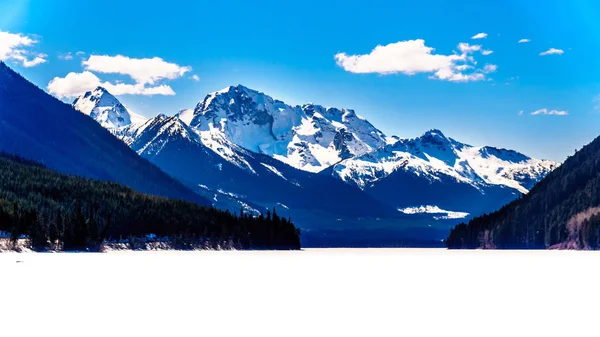
Frozen Duffey Lake and the snow capped peaks around lake. Mount Rohr at the south end of the lake along Highway 99 between Pemberton and Lillooet, British Columbia
Frozen Duffey Lake Snow Capped Peaks Lake Mount Rohr South — Stock Photo, Image
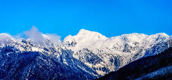
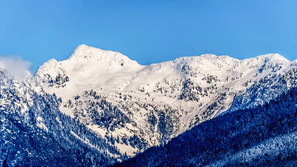
The Snow Capped Peaks the Tingle Peaks and other Mountain Peaks of the Coast Mountain Range seen from the shore of Pitt Lake in the Fraser Valley of British Columbia, Canada
Snow Capped Peaks Tingle Peaks Other Mountain Peaks Coast Mountain — Stock Photo, Image
Cloud blanket hanging over the mountains just north of Whistler in the Garibaldi Mountain Range of British Columbia, Canada
Cloud Blanket Hanging Mountains Just North Whistler Garibaldi Mountain Range — Stock Photo, Image
Panorama View of the Columbia Icefields in Jasper National Park, Alberta, Canada at spring time. The famous Athabasca Glacier on the left
Panorama View Columbia Icefields Jasper National Park Alberta Canada Spring — Stock Photo, Image
The Snow Capped Peaks the Tingle Peaks and other Mountain Peaks of the Coast Mountain Range seen from the shore of Pitt Lake in the Fraser Valley of British Columbia, Canada
Snow Capped Peaks Tingle Peaks Other Mountain Peaks Coast Mountain — Stock Photo, Image
Mount Currie in the Coast Mountain Range just outside Pemberton seen from the Duffy Lake Road between Pemberton and Lillooet in southern British Columbia
Mount Currie outside Pemberton seen from the Duffy Lake Road in southern British Columbia — Stock Photo, Image
Sunrise over the Garibaldi Mountain Range with the northern most peak of Mt. Currie in the range in the distant. Viewed from Whistler RV Park plateau, British Columbia, Canada
Sunrise Garibaldi Mountain Range Northern Most Peak Currie Range Distant — Stock Photo, Image
The Snow Capped Peaks the Tingle Peaks and other Mountain Peaks of the Coast Mountain Range seen from the shore of Pitt Lake in the Fraser Valley of British Columbia, Canada
Snow Capped Peaks Tingle Peaks Other Mountain Peaks Coast Mountain — Stock Photo, Image
The Tantalus Mountain Range from a viewpoint along the Sea to Sky Highway between Squamish and Whistler with the snow covered peaks of Alpha Mountain, Serratus and Tantalus Mountain
The Tantalus Mountain Range along the Sea to Sky Highway in Beautiful British Columbia, Canada — Stock Photo, Image
Frozen Duffey Lake and the snow capped peaks around lake. Mount Rohr at the south end of the lake along Highway 99 between Pemberton and Lillooet, British Columbia
Frozen Duffey Lake Snow Capped Peaks Lake Mount Rohr South — Stock Photo, Image
Sunset over the peaks of MacFarlane, Crossover and Slesse Mountains in the Cascade Mountain Range viewed from Hillkeep Lookout in the Fraser Valley of British Columbia, Canada
Sunset Peaks Macfarlane Crossover Slesse Mountains Cascade Mountain Range Viewed — Stock Photo, Image

Usage Information

You can use this royalty-free photo "Rugged Peaks of the Cascade Mountain Range on the US-Canada border as seen from the Cascade Lookout viewpoint in EC Manning Provincial Park in Beautiful British Columbia, Canada" for personal and commercial purposes according to the Standard or Extended License. The Standard License covers most use cases, including advertising, UI designs, and product packaging, and allows up to 500,000 print copies. The Extended License permits all use cases under the Standard License with unlimited print rights and allows you to use the downloaded stock images for merchandise, product resale, or free distribution.

You can buy this stock photo and download it in high resolution up to 5700x3206. Upload Date: Jun 30, 2018