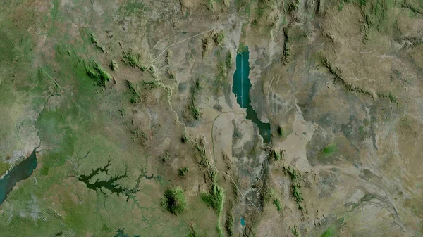
Rwanda Close Perspective Country Outline Satellite Imagery — Stock Photo, Image

Rwanda. Close-up perspective of the country - no outline. satellite imagery — Photo

Rwanda. Close-up perspective of the country - no outline. satellite imagery

 — Photo by Yarr65

Same Series:

Qyzylorda, region of Kazakhstan. Satellite imagery. Shape outlined against its country area. 3D rendering
Qyzylorda Region Kazakhstan Satellite Imagery Shape Outlined Its Country Area — Stock Photo, Image
Turkana, county of Kenya. Satellite imagery. Shape outlined against its country area. 3D rendering
Turkana County Kenya Satellite Imagery Shape Outlined Its Country Area — Stock Photo, Image
Kyrgyzstan zoomed and neighborhood. Satellite imagery. 3D rendering
Kyrgyzstan Zoomed Neighborhood Satellite Imagery Rendering — Stock Photo, Image
Santa Barbara , department of Honduras. Satellite imagery. Shape outlined against its country area. 3D rendering
Santa Barbara Department Honduras Satellite Imagery Shape Outlined Its Country — Stock Photo, Image
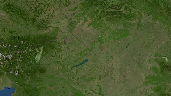
Hungary. Close-up perspective of the country - no outline. satellite imagery
Hungary Close Perspective Country Outline Satellite Imagery — Stock Photo, Image
Podunavski, district of Serbia. Satellite imagery. Shape outlined against its country area. 3D rendering
Podunavski District Serbia Satellite Imagery Shape Outlined Its Country Area — Stock Photo, Image
Kazakhstan area on the satellite A map in the stereographic projection - raw composition of raster layers
Kazakhstan Area Satellite Map Stereographic Projection Raw Composition Raster Layers — Stock Photo, Image
Solothurn, canton of Switzerland. Satellite imagery. Shape outlined against its country area. 3D rendering
Solothurn Canton Switzerland Satellite Imagery Shape Outlined Its Country Area — Stock Photo, Image
Iringa, region of Tanzania. Satellite imagery. Shape outlined against its country area. 3D rendering
Iringa Region Tanzania Satellite Imagery Shape Outlined Its Country Area — Stock Photo, Image
Nisavski , district of Serbia. Satellite imagery. Shape outlined against its country area. 3D rendering.
Nisavski District Serbia Satellite Imagery Shape Outlined Its Country Area — Stock Photo, Image
Dornod, province of Mongolia. Satellite imagery. Shape outlined against its country area. 3D rendering
Dornod Province Mongolia Satellite Imagery Shape Outlined Its Country Area — Stock Photo, Image
Cuvette, region of Republic of Congo. Satellite imagery. Shape outlined against its country area. 3D rendering
Cuvette Region Republic Congo Satellite Imagery Shape Outlined Its Country — Stock Photo, Image
Zambia area on the satellite A map in the stereographic projection - raw composition of raster layers
Zambia Area Satellite Map Stereographic Projection Raw Composition Raster Layers — Stock Photo, Image
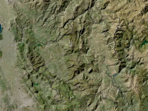
Diber, county of Albania. Low resolution satellite map
Diber County Albania Low Resolution Satellite Map — Stock Photo, Image
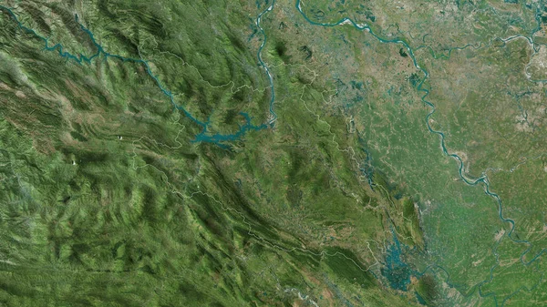
Hoa Binh, province of Vietnam. Satellite imagery. Shape outlined against its country area. 3D rendering
Hoa Binh Province Vietnam Satellite Imagery Shape Outlined Its Country — Stock Photo, Image
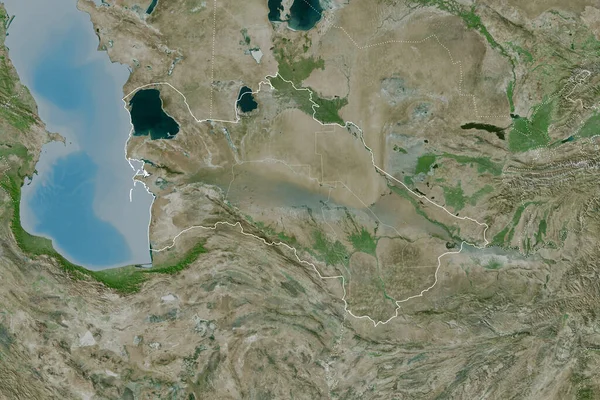
Extended area of Turkmenistan with country outline, international and regional borders. Satellite imagery. 3D rendering
Extended Area Turkmenistan Country Outline International Regional Borders Satellite Imagery — Stock Photo, Image

Usage Information

You can use this royalty-free photo "Rwanda. Close-up perspective of the country - no outline. satellite imagery" for personal and commercial purposes according to the Standard or Extended License. The Standard License covers most use cases, including advertising, UI designs, and product packaging, and allows up to 500,000 print copies. The Extended License permits all use cases under the Standard License with unlimited print rights and allows you to use the downloaded stock images for merchandise, product resale, or free distribution.

You can buy this stock photo and download it in high resolution up to 2880x1620. Upload Date: Jun 22, 2020