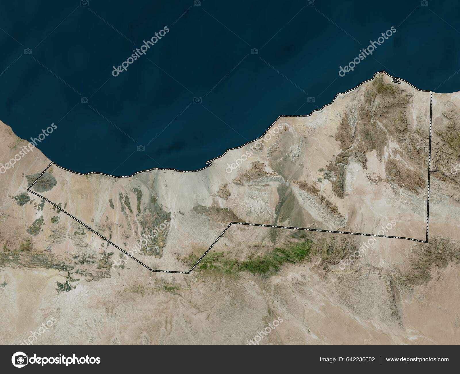
Sahil Region Somalia High Resolution Satellite Map — Stock Photo, Image

Sahil, region of Somalia. High resolution satellite map — Photo

Sahil, region of Somalia. High resolution satellite map

 — Photo by Yarr65

Same Series:

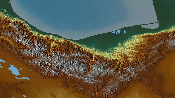
Mazandaran, province of Iran. Colored relief with lakes and rivers. Shape outlined against its country area. 3D rendering
Mazandaran Province Iran Colored Relief Lakes Rivers Shape Outlined Its — Stock Photo, Image
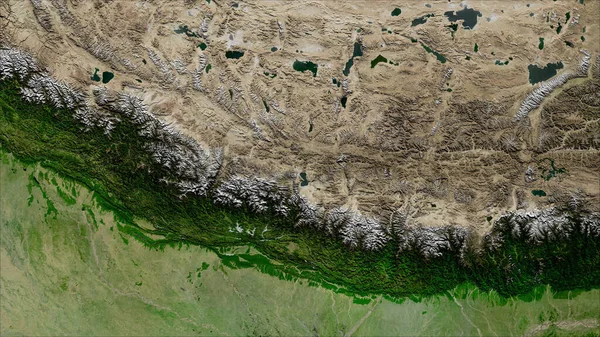
Nepal. Close-up perspective of the country - no outline. satellite imagery
Nepal Close Perspective Country Outline Satellite Imagery — Stock Photo, Image
Mazandaran, province of Iran. Satellite imagery. Shape outlined against its country area. 3D rendering
Mazandaran Province Iran Satellite Imagery Shape Outlined Its Country Area — Stock Photo, Image
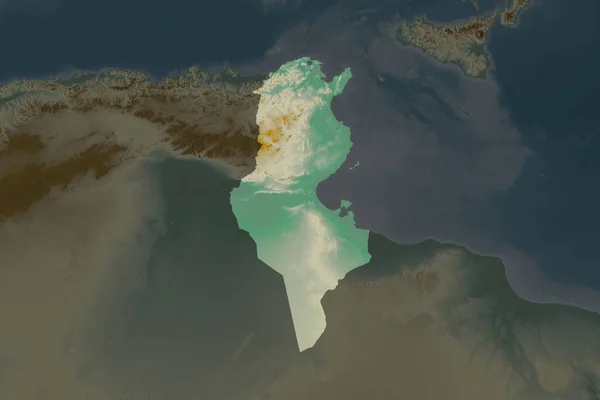
Shape of Tunisia separated by the desaturation of neighboring areas. Topographic relief map. 3D rendering
Shape Tunisia Separated Desaturation Neighboring Areas Topographic Relief Map Rendering — Stock Photo, Image
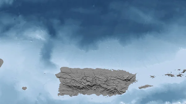
Puerto Rico. Close-up perspective of the country - no outline. grayscale elevation map
Puerto Rico Close Perspective Country Outline Grayscale Elevation Map — Stock Photo, Image
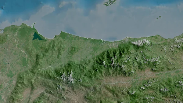
Atlantida , department of Honduras. Satellite imagery. Shape outlined against its country area. 3D rendering
Atlantida Department Honduras Satellite Imagery Shape Outlined Its Country Area — Stock Photo, Image
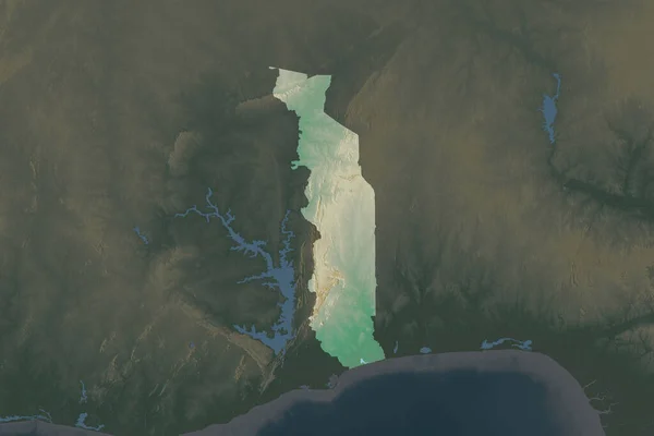
Shape of Togo separated by the desaturation of neighboring areas. Topographic relief map. 3D rendering
Shape Togo Separated Desaturation Neighboring Areas Topographic Relief Map Rendering — Stock Photo, Image
West Bank. Close-up perspective of the country - no outline. grayscale elevation map
West Bank Close Perspective Country Outline Grayscale Elevation Map — Stock Photo, Image
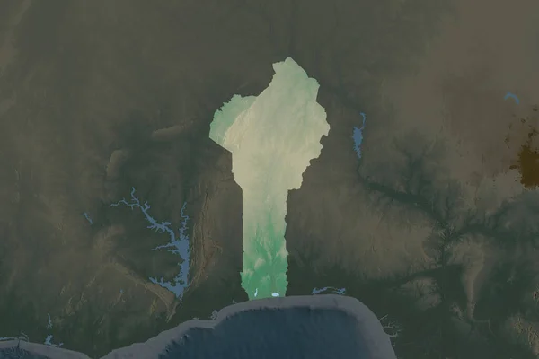
Shape of Benin separated by the desaturation of neighboring areas. Topographic relief map. 3D rendering
Shape Benin Separated Desaturation Neighboring Areas Topographic Relief Map Rendering — Stock Photo, Image
West Bank. Close-up perspective of the country - no outline. topographic relief map
West Bank Close Perspective Country Outline Topographic Relief Map — Stock Photo, Image
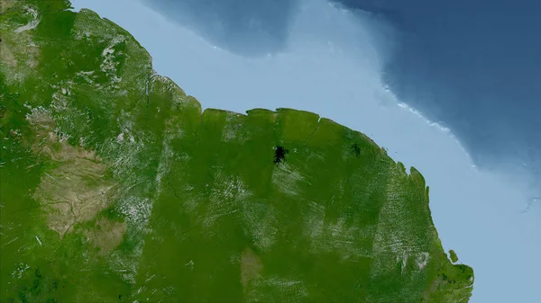
Guyana. Close-up perspective of the country - no outline. satellite imagery
Guyana Close Perspective Country Outline Satellite Imagery — Stock Photo, Image
Gorontalo, province of Indonesia. Grayscaled map with lakes and rivers. Shape outlined against its country area. 3D rendering
Gorontalo Province Indonesia Grayscaled Map Lakes Rivers Shape Outlined Its — Stock Photo, Image
Trelawny, parish of Jamaica. Satellite imagery. Shape outlined against its country area. 3D rendering
Trelawny Parish Jamaica Satellite Imagery Shape Outlined Its Country Area — Stock Photo, Image
Zoom in on Distrito Capital (state of Venezuela) outlined. Oblique perspective. Topographic relief map with surface waters. 3D rendering
Zoom Distrito Capital State Venezuela Outlined Oblique Perspective Topographic Relief — Stock Photo, Image
Zoom in on Kegalle (district of Sri Lanka) extruded. Oblique perspective. Satellite imagery. 3D rendering
Zoom Kegalle District Sri Lanka Extruded Oblique Perspective Satellite Imagery — Stock Photo, Image
Zoom in on Sandaun (province of Papua New Guinea) extruded. Oblique perspective. Topographic relief map with surface waters. 3D rendering
Zoom Sandaun Province Papua New Guinea Extruded Oblique Perspective Topographic — Stock Photo, Image

Usage Information

You can use this royalty-free photo "Sahil, region of Somalia. High resolution satellite map" for personal and commercial purposes according to the Standard or Extended License. The Standard License covers most use cases, including advertising, UI designs, and product packaging, and allows up to 500,000 print copies. The Extended License permits all use cases under the Standard License with unlimited print rights and allows you to use the downloaded stock images for merchandise, product resale, or free distribution.

You can buy this stock photo and download it in high resolution up to 3840x2880. Upload Date: Feb 23, 2023