Sao Paulo City — Stock Photo, Image

Sao Paulo City — Photo

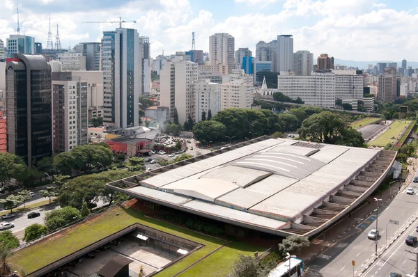
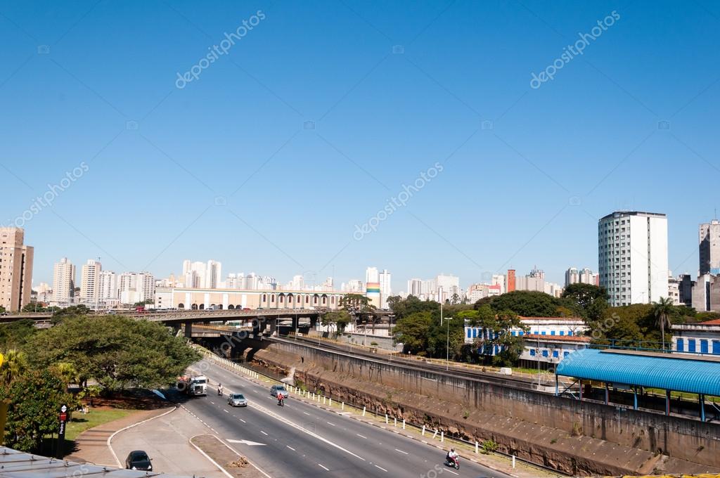
Sao Paulo, east west viaduct and Avenue of the state

 — Photo by cifotart

Same Series:

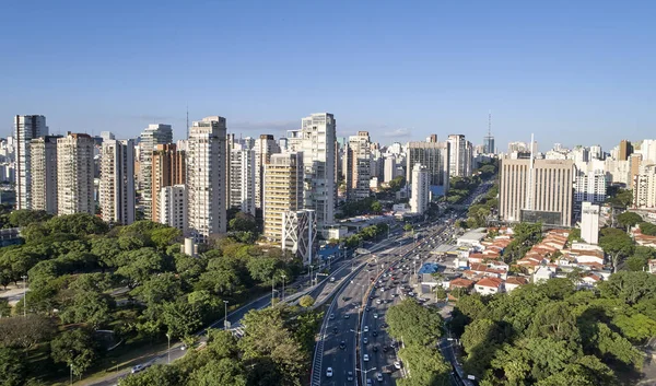
Aerial view of Sao Paulo city, car traffic in 23 de Maio avenue, north-south corridor, commercial and residential buildings in Sao Paulo city, Brazil.
Aerial View Sao Paulo City Car Traffic Maio Avenue North — Stock Photo, Image
Aerial view of Sao Paulo city, car traffic in 23 de Maio avenue, north-south corridor, commercial and residential buildings in Sao Paulo city, Brazil.
Aerial View Sao Paulo City Car Traffic Maio Avenue North — Stock Photo, Image
Aerial view of the cultural center of sao paulo. Towers of buildings of local businesses
Aerial view of the cultural center of sao paulo — Stock Photo, Image
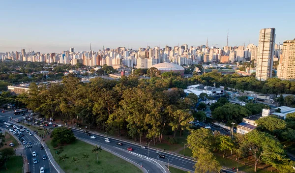
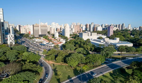
Aerial view of Sao Paulo city and Ibirapuera gymnasium, next to Ibirapuera Park. Prevervetion area with trees and green area of Ibirapuera park in Sao Paulo city, Brazil.
Aerial View Sao Paulo City Ibirapuera Gymnasium Next Ibirapuera Park — Stock Photo, Image
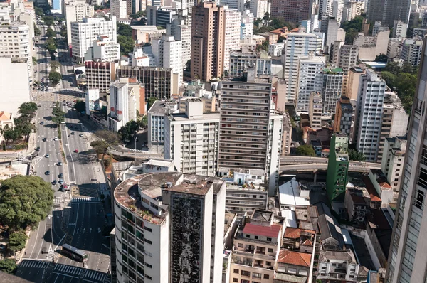
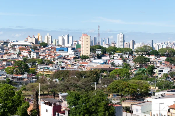
View of the central region of São Paulo, near the avenue consolation.
Sao Paulo cityscape — Stock Photo, Image
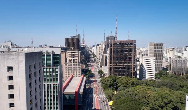
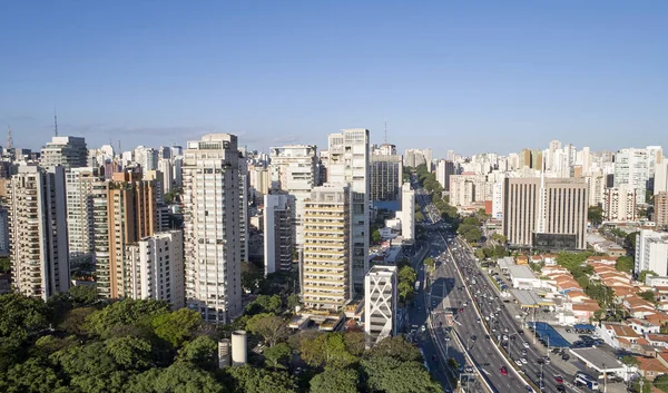
Aerial view of Avenida Paulista (Paulista avenue) in Sao Paulo city, Brazil
Aerial View Avenida Paulista Paulista Avenue Sao Paulo City Brazil — Stock Photo, Image
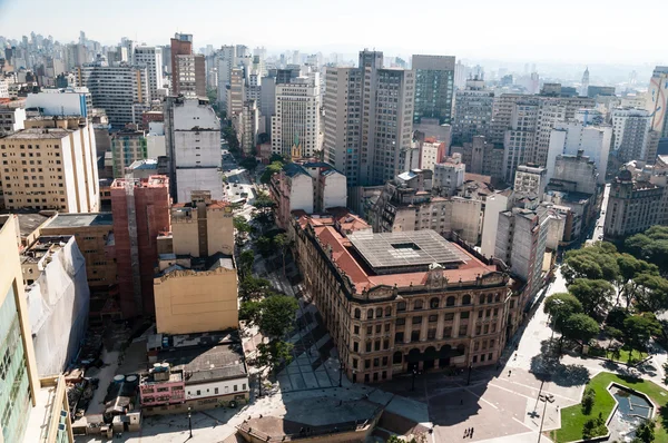
Aerial view of the city of sao paulo. Detail Anhangabaú Valley and post office building.
City of Sao Paulo, Brazil — Stock Photo, Image
Traffic on Avenida 23 de Maio, Sao Paulo city Brazil
Traffic avenue city sao paulo — Stock Photo, Image
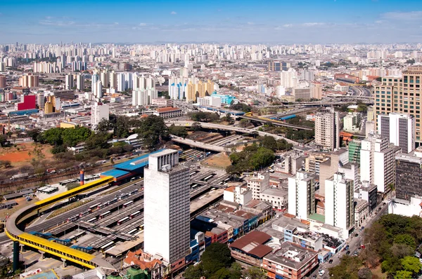
Aerial view of the bus terminal in Sao Paulo city and in the background
Bus terminal in park Dom Pedro, Sao Paulo — Stock Photo, Image
Aerial view of Radial Leste avenue, Tatuape shopping mall, Tatuape train and subway station, in the Tatuape district, east region of Sao Paulo city, Brazil.
Aerial View Radial Leste Avenue Tatuape Shopping Mall Tatuape Train — Stock Photo, Image
Aerial view of Sao Paulo city, car traffic in 23 de Maio avenue, north-south corridor. Prevervetion area with trees and green area of Ibirapuera park in Sao Paulo city, Brazil.
Aerial View Sao Paulo City Car Traffic Maio Avenue North — Stock Photo, Image
Aerial view of buildings on the avenue Paulista city of Sao Paulo
Aerial view of buildings on Paulista avenue — Stock Photo, Image
Aerial view of Sao Paulo city, car traffic in 23 de Maio avenue, north-south corridor, commercial and residential buildings in Sao Paulo city, Brazil.
Aerial View Sao Paulo City Car Traffic Maio Avenue North — Stock Photo, Image
View of the central region of São Paulo, near the avenue consolation.
Sao Paulo cityscape — Stock Photo, Image
Neighborhood Penha, Sao Paulo city
Penha, Sao Paulo — Stock Photo, Image
Aerial view of Sao Paulo city, car traffic in 23 de Maio avenue, north-south corridor, commercial and residential buildings in Sao Paulo city, Brazil.
Aerial View Sao Paulo City Car Traffic Maio Avenue North — Stock Photo, Image

Usage Information

You can use this royalty-free photo "Sao Paulo City" for personal and commercial purposes according to the Standard or Extended License. The Standard License covers most use cases, including advertising, UI designs, and product packaging, and allows up to 500,000 print copies. The Extended License permits all use cases under the Standard License with unlimited print rights and allows you to use the downloaded stock images for merchandise, product resale, or free distribution.

You can buy this stock photo and download it in high resolution up to 4288x2848. Upload Date: Dec 17, 2013