Satellite View Mount Everest Lhotse Nuptse Base Camps Ascent Mountains — Stock Photo, Image

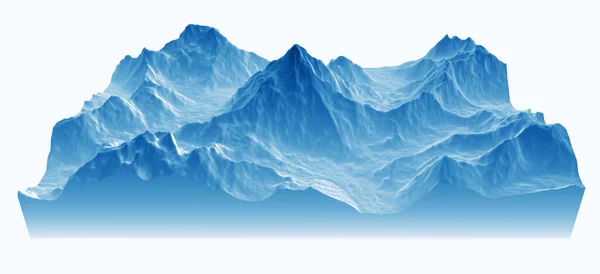
Satellite view of Mount Everest, Lhotse I, Nuptse, base camps for the ascent to the mountains of the Himalayas, on the border between Nepal and China. Section, 3d rendering. South side view — Photo

Satellite view of Mount Everest, Lhotse I, Nuptse, base camps for the ascent to the mountains of the Himalayas, on the border between Nepal and China. Section, 3d rendering. South side view

 — Photo by vampy1

Same Series:

Satellite view of K2, relief mountains of the Himalayas. Rugged peak at 8,611m in the Karakorum range, the second highest in the world. 3d rendering
Satellite View Relief Mountains Himalayas Rugged Peak 611M Karakorum Range — Stock Photo, Image
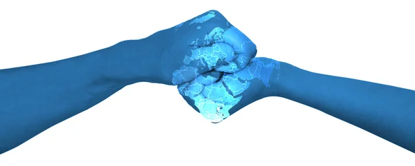
The world in your hands Hands with world map
The world in your hands — Stock Photo, Image
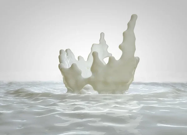
Splash, drops of milk, breakfast. 3d rendering
Splash, drops of milk, breakfast — Stock Photo, Image
Earthquake ground section, shake, elements of this image are furnished by NASA. Section of land struck by a strong earthquake magnitude. 3d rendering
Earthquake Ground Section Shake Elements Image Furnished Nasa Section Land — Stock Photo, Image
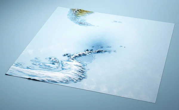
Antarctic Peninsula, climate change. Continent Antarctica. Geographical map, orography of the terrain. Tip of Argentina and Chile. Melting ice, Iceberg. Far South. 3d render. Satellite view
Antarctic Peninsula Climate Change Continent Antarctica Geographical Map Orography Terrain — Stock Photo, Image
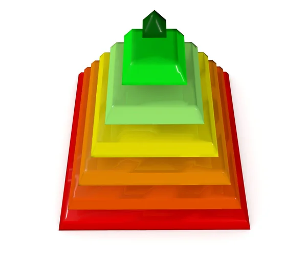
Infographic examplesbusiness pyramid illustration
Infographic examplesbusiness pyramid — Stock Photo, Image
Illustration of Stranded DNA molecule
DNA molecule — Stock Photo, Image
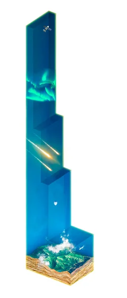
Structure of the Earth's atmosphere, layers and names of the various levels of the atmosphere. Heights and measures. Set of layers of gases surrounding a planet. 3d render
Structure Earth Atmosphere Layers Names Various Levels Atmosphere Heights Measures — Stock Photo, Image
Antarctic Peninsula, climate change. Continent Antarctica. Geographical map, orography of the terrain. Tip of Argentina and Chile. Melting ice, Iceberg. Far South. 3d render. Satellite view
Antarctic Peninsula Climate Change Continent Antarctica Geographical Map Orography Terrain — Stock Photo, Image
Abstract colorful waves background
Abstract waves background — Stock Photo, Image
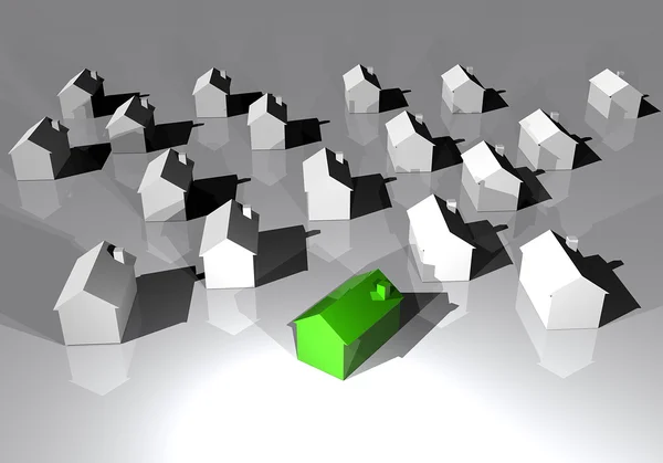
Stock of housing and highlighted ecological house
Ecological house clean energy — Stock Photo, Image
Tornado illustration
Tornado — Stock Photo, Image
Abstract colorful waves background
Abstract waves background — Stock Photo, Image
Tornado illustration
Tornado — Stock Photo, Image
Satellite view of Kepulauan Ayau, Ayu Islands, in the Raja Ampat Islands, West Papua, Indonesia. Crystalline, transparent, limpid seabed. Tropical islands. Element of this image is furnished by Nasa
Satellite View Kepulauan Ayau Ayu Islands Raja Ampat Islands West — Stock Photo, Image
Antarctic Peninsula, climate change. Continent Antarctica. Geographical map, orography of the terrain. Tip of Argentina and Chile. Melting ice, Iceberg. Far South. 3d render. Satellite view
Antarctic Peninsula Climate Change Continent Antarctica Geographical Map Orography Terrain — Stock Photo, Image

Usage Information

You can use this royalty-free photo "Satellite view of Mount Everest, Lhotse I, Nuptse, base camps for the ascent to the mountains of the Himalayas, on the border between Nepal and China. Section, 3d rendering. South side view" for personal and commercial purposes according to the Standard or Extended License. The Standard License covers most use cases, including advertising, UI designs, and product packaging, and allows up to 500,000 print copies. The Extended License permits all use cases under the Standard License with unlimited print rights and allows you to use the downloaded stock images for merchandise, product resale, or free distribution.

You can buy this stock photo and download it in high resolution up to 4304x2421. Upload Date: Nov 12, 2021