Shape Basse Kotto Prefecture Central African Republic Its Capital Isolated — Stock Photo, Image

Shape of Basse-Kotto, prefecture of Central African Republic, with its capital isolated on white background. Bilevel elevation map. 3D rendering — Photo

Shape of Basse-Kotto, prefecture of Central African Republic, with its capital isolated on white background. Bilevel elevation map. 3D rendering

 — Photo by Yarr65

Same Series:

Shape of Basse-Kotto, prefecture of Central African Republic, with its capital isolated on white background. Topographic relief map. 3D rendering
Shape Basse Kotto Prefecture Central African Republic Its Capital Isolated — Stock Photo, Image
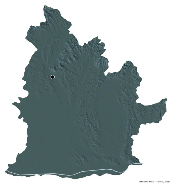
Shape of Nitriansky, region of Slovakia, with its capital isolated on white background. Colored elevation map. 3D rendering
Shape Nitriansky Region Slovakia Its Capital Isolated White Background Colored — Stock Photo, Image
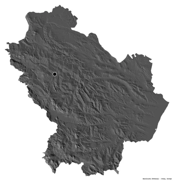
Shape of Basilicata, region of Italy, with its capital isolated on white background. Bilevel elevation map. 3D rendering
Shape Basilicata Region Italy Its Capital Isolated White Background Bilevel — Stock Photo, Image
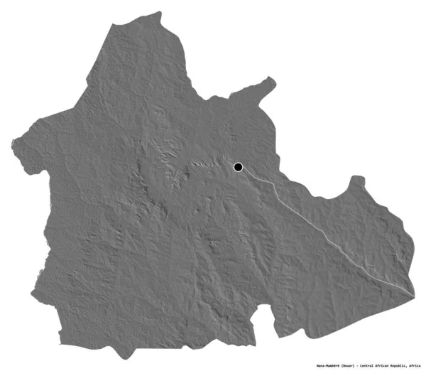
Shape of Nana-Mambere, prefecture of Central African Republic, with its capital isolated on white background. Bilevel elevation map. 3D rendering
Shape Nana Mambere Prefecture Central African Republic Its Capital Isolated — Stock Photo, Image
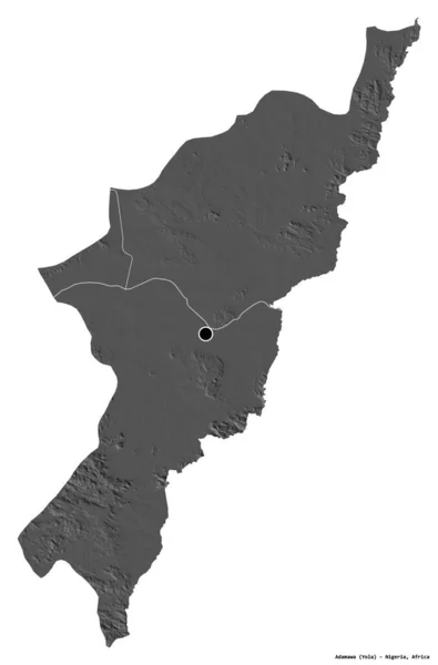
Shape of Adamawa, state of Nigeria, with its capital isolated on white background. Bilevel elevation map. 3D rendering
Shape Adamawa State Nigeria Its Capital Isolated White Background Bilevel — Stock Photo, Image
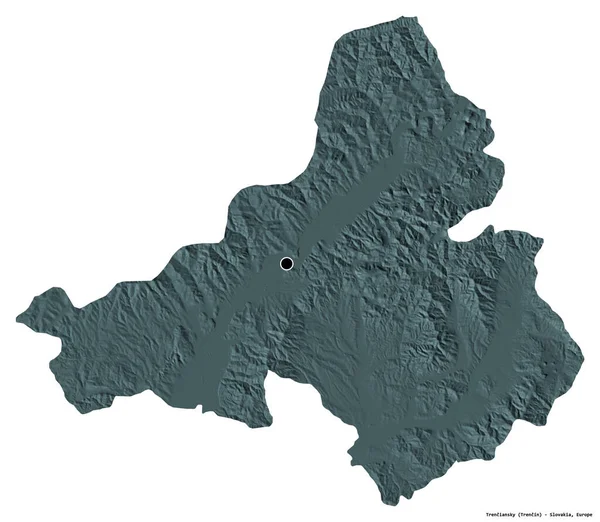
Shape of Trenciansky, region of Slovakia, with its capital isolated on white background. Colored elevation map. 3D rendering
Shape Trenciansky Region Slovakia Its Capital Isolated White Background Colored — Stock Photo, Image
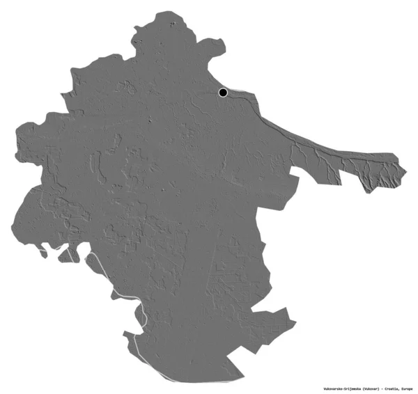
Shape of Vukovarsko-Srijemska, county of Croatia, with its capital isolated on white background. Bilevel elevation map. 3D rendering
Shape Vukovarsko Srijemska County Croatia Its Capital Isolated White Background — Stock Photo, Image
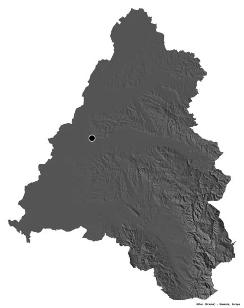
Shape of Bihor, county of Romania, with its capital isolated on white background. Bilevel elevation map. 3D rendering
Shape Bihor County Romania Its Capital Isolated White Background Bilevel — Stock Photo, Image
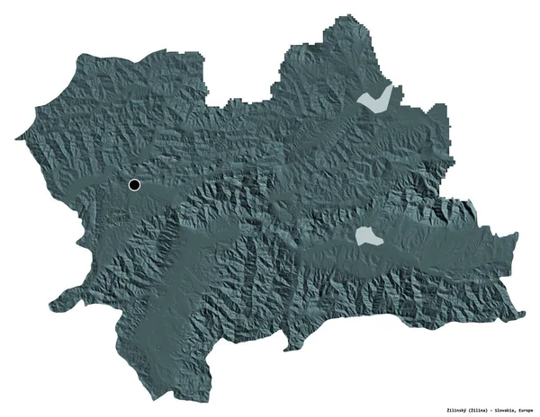
Shape of Zilinsky, region of Slovakia, with its capital isolated on white background. Colored elevation map. 3D rendering
Shape Zilinsky Region Slovakia Its Capital Isolated White Background Colored — Stock Photo, Image
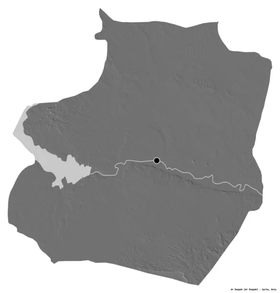
Shape of Ar Raqqah, province of Syria, with its capital isolated on white background. Bilevel elevation map. 3D rendering
Shape Raqqah Province Syria Its Capital Isolated White Background Bilevel — Stock Photo, Image
Shape of Sud-Ouest, region of Burkina Faso, with its capital isolated on white background. Bilevel elevation map. 3D rendering
Shape Sud Ouest Region Burkina Faso Its Capital Isolated White — Stock Photo, Image
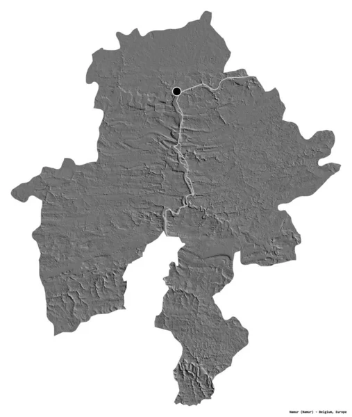
Shape of Namur, province of Belgium, with its capital isolated on white background. Bilevel elevation map. 3D rendering
Shape Namur Province Belgium Its Capital Isolated White Background Bilevel — Stock Photo, Image
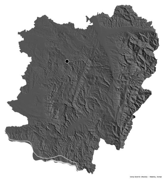
Shape of Caras-Severin, county of Romania, with its capital isolated on white background. Bilevel elevation map. 3D rendering
Shape Caras Severin County Romania Its Capital Isolated White Background — Stock Photo, Image
Shape of Chachoengsao, province of Thailand, with its capital isolated on white background. Bilevel elevation map. 3D rendering
Shape Chachoengsao Province Thailand Its Capital Isolated White Background Bilevel — Stock Photo, Image
Shape of Bamingui-Bangoran, prefecture of Central African Republic, with its capital isolated on white background. Colored elevation map. 3D rendering
Shape Bamingui Bangoran Prefecture Central African Republic Its Capital Isolated — Stock Photo, Image
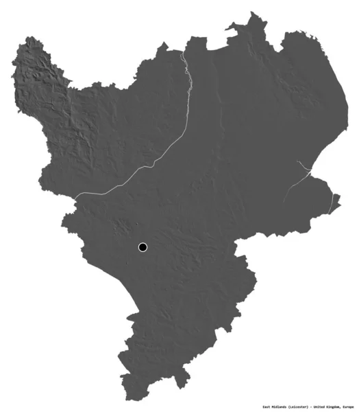
Shape of East Midlands, region of United Kingdom, with its capital isolated on white background. Bilevel elevation map. 3D rendering
Shape East Midlands Region United Kingdom Its Capital Isolated White — Stock Photo, Image

Usage Information

You can use this royalty-free photo "Shape of Basse-Kotto, prefecture of Central African Republic, with its capital isolated on white background. Bilevel elevation map. 3D rendering" for personal and commercial purposes according to the Standard or Extended License. The Standard License covers most use cases, including advertising, UI designs, and product packaging, and allows up to 500,000 print copies. The Extended License permits all use cases under the Standard License with unlimited print rights and allows you to use the downloaded stock images for merchandise, product resale, or free distribution.

You can buy this stock photo and download it in high resolution up to 3836x3417. Upload Date: Aug 10, 2020