Shape Cunene Province Angola Its Capital Isolated White Background Bilevel — Stock Photo, Image

Shape of Cunene, province of Angola, with its capital isolated on white background. Bilevel elevation map. 3D rendering — Photo

Shape of Cunene, province of Angola, with its capital isolated on white background. Bilevel elevation map. 3D rendering

 — Photo by Yarr65

Same Series:

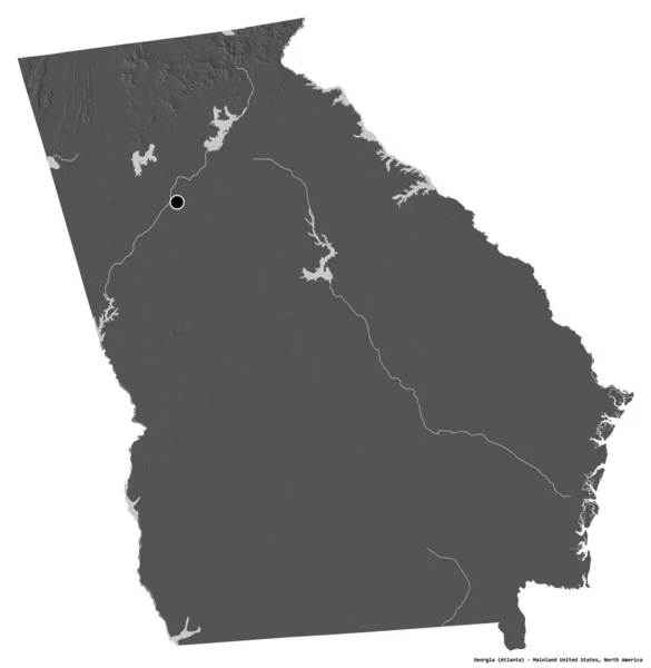
Shape of Georgia, state of Mainland United States, with its capital isolated on white background. Bilevel elevation map. 3D rendering
Shape Georgia State Mainland United States Its Capital Isolated White — Stock Photo, Image
Shape of Cunene, province of Angola, with its capital isolated on white background. Topographic relief map. 3D rendering
Shape Cunene Province Angola Its Capital Isolated White Background Topographic — Stock Photo, Image
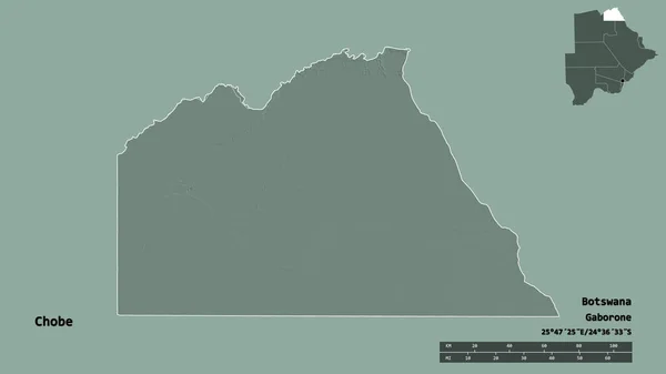
Shape of Chobe, district of Botswana, with its capital isolated on solid background. Distance scale, region preview and labels. Colored elevation map. 3D rendering
Shape Chobe District Botswana Its Capital Isolated Solid Background Distance — Stock Photo, Image
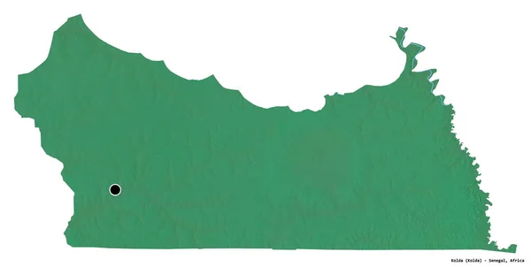
Shape of Kolda, region of Senegal, with its capital isolated on white background. Topographic relief map. 3D rendering
Shape Kolda Region Senegal Its Capital Isolated White Background Topographic — Stock Photo, Image
Shape of West Virginia, state of Mainland United States, with its capital isolated on white background. Colored elevation map. 3D rendering
Shape West Virginia State Mainland United States Its Capital Isolated — Stock Photo, Image
Shape of Kolda, region of Senegal, with its capital isolated on white background. Colored elevation map. 3D rendering
Shape Kolda Region Senegal Its Capital Isolated White Background Colored — Stock Photo, Image
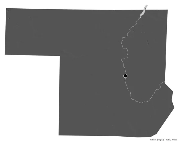
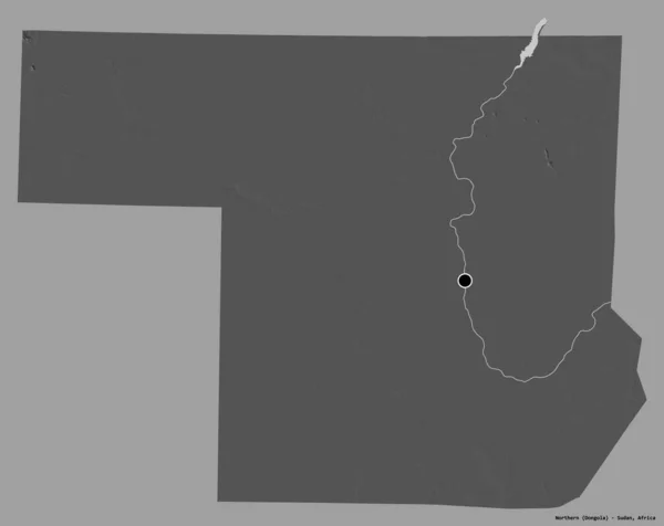
Shape of Northern, state of Sudan, with its capital isolated on white background. Bilevel elevation map. 3D rendering
Shape Northern State Sudan Its Capital Isolated White Background Bilevel — Stock Photo, Image
Shape of Kolda, region of Senegal, with its capital isolated on white background. Bilevel elevation map. 3D rendering
Shape Kolda Region Senegal Its Capital Isolated White Background Bilevel — Stock Photo, Image
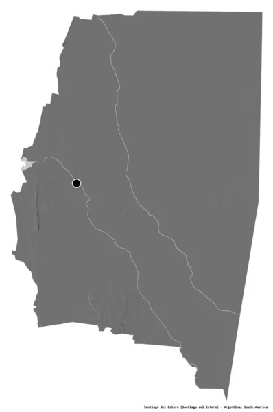
Shape of Santiago del Estero, province of Argentina, with its capital isolated on white background. Bilevel elevation map. 3D rendering
Shape Santiago Del Estero Province Argentina Its Capital Isolated White — Stock Photo, Image
Shape of Northern, state of Sudan, with its capital isolated on a solid color background. Bilevel elevation map. 3D rendering
Shape Northern State Sudan Its Capital Isolated Solid Color Background — Stock Photo, Image
Shape of Pennsylvania, state of Mainland United States, with its capital isolated on a solid color background. Colored elevation map. 3D rendering
Shape Pennsylvania State Mainland United States Its Capital Isolated Solid — Stock Photo, Image
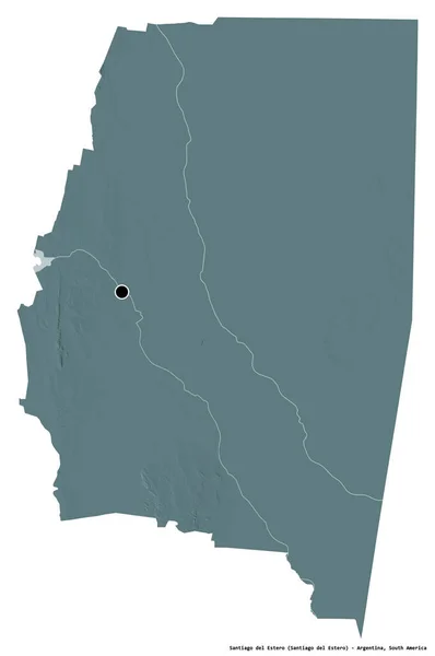
Shape of Santiago del Estero, province of Argentina, with its capital isolated on white background. Colored elevation map. 3D rendering
Shape Santiago Del Estero Province Argentina Its Capital Isolated White — Stock Photo, Image
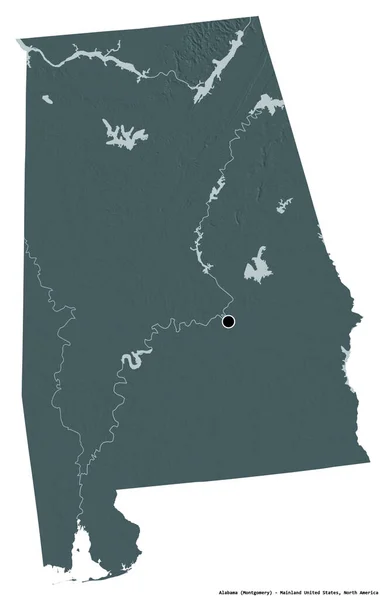
Shape of Alabama, state of Mainland United States, with its capital isolated on white background. Colored elevation map. 3D rendering
Shape Alabama State Mainland United States Its Capital Isolated White — Stock Photo, Image
Shape of Rio Negro, province of Argentina, with its capital isolated on white background. Bilevel elevation map. 3D rendering
Shape Rio Negro Province Argentina Its Capital Isolated White Background — Stock Photo, Image
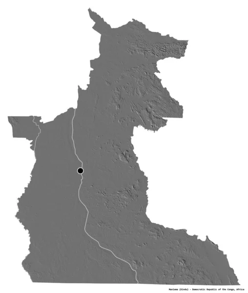
Shape of Maniema, province of Democratic Republic of the Congo, with its capital isolated on white background. Bilevel elevation map. 3D rendering
Shape Maniema Province Democratic Republic Congo Its Capital Isolated White — Stock Photo, Image
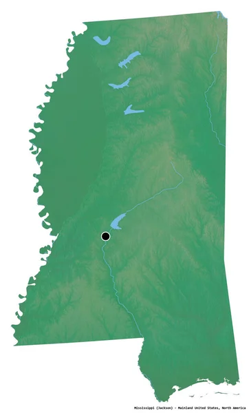
Shape of Mississippi, state of Mainland United States, with its capital isolated on white background. Topographic relief map. 3D rendering
Shape Mississippi State Mainland United States Its Capital Isolated White — Stock Photo, Image

Usage Information

You can use this royalty-free photo "Shape of Cunene, province of Angola, with its capital isolated on white background. Bilevel elevation map. 3D rendering" for personal and commercial purposes according to the Standard or Extended License. The Standard License covers most use cases, including advertising, UI designs, and product packaging, and allows up to 500,000 print copies. The Extended License permits all use cases under the Standard License with unlimited print rights and allows you to use the downloaded stock images for merchandise, product resale, or free distribution.

You can buy this stock photo and download it in high resolution up to 3836x2244. Upload Date: Aug 10, 2020