Shape Tagant Region Mauritania Its Capital Isolated Solid Color Background — Stock Photo, Image

Shape of Tagant, region of Mauritania, with its capital isolated on a solid color background. Colored elevation map. 3D rendering — Photo

Shape of Tagant, region of Mauritania, with its capital isolated on a solid color background. Colored elevation map. 3D rendering

 — Photo by Yarr65

Same Series:

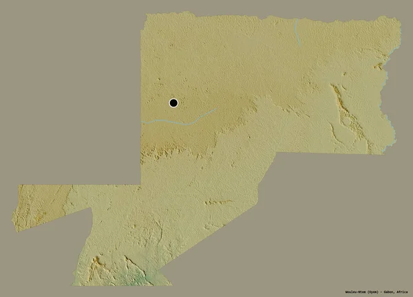
Shape of Wouleu-Ntem, province of Gabon, with its capital isolated on a solid color background. Topographic relief map. 3D rendering
Shape Wouleu Ntem Province Gabon Its Capital Isolated Solid Color — Stock Photo, Image
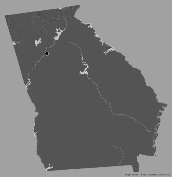
Shape of Georgia, state of Mainland United States, with its capital isolated on a solid color background. Bilevel elevation map. 3D rendering
Shape Georgia State Mainland United States Its Capital Isolated Solid — Stock Photo, Image
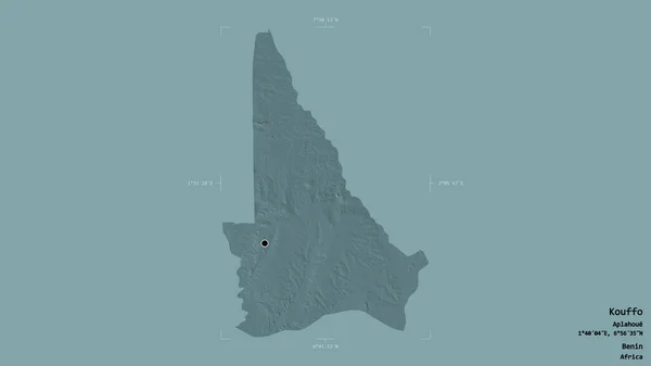
Area of Kouffo, department of Benin, isolated on a solid background in a georeferenced bounding box. Labels. Colored elevation map. 3D rendering
Area Kouffo Department Benin Isolated Solid Background Georeferenced Bounding Box — Stock Photo, Image
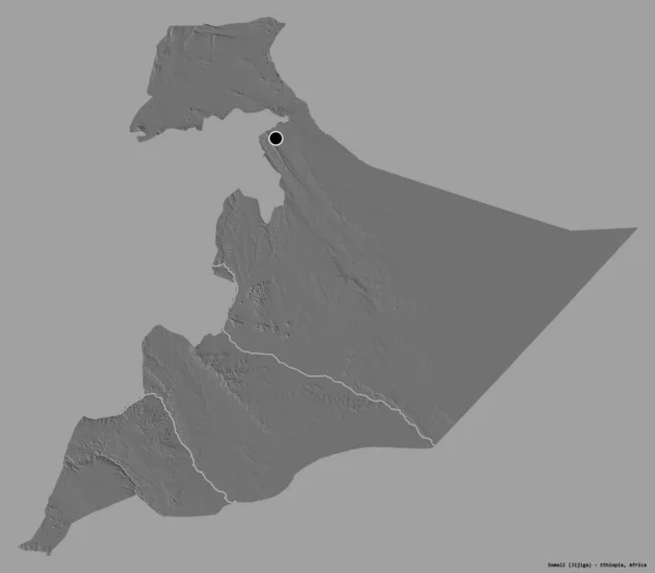
Shape of Somali, state of Ethiopia, with its capital isolated on a solid color background. Bilevel elevation map. 3D rendering
Shape Somali State Ethiopia Its Capital Isolated Solid Color Background — Stock Photo, Image
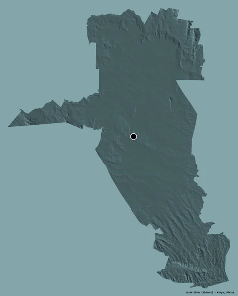
Shape of Uasin Gishu, county of Kenya, with its capital isolated on a solid color background. Colored elevation map. 3D rendering
Shape Uasin Gishu County Kenya Its Capital Isolated Solid Color — Stock Photo, Image
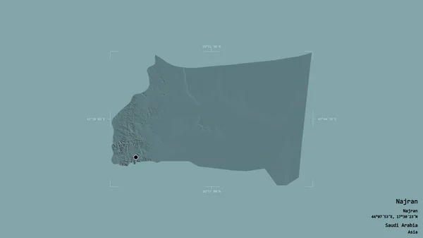
Area of Najran, region of Saudi Arabia, isolated on a solid background in a georeferenced bounding box. Labels. Colored elevation map. 3D rendering
Area Najran Region Saudi Arabia Isolated Solid Background Georeferenced Bounding — Stock Photo, Image
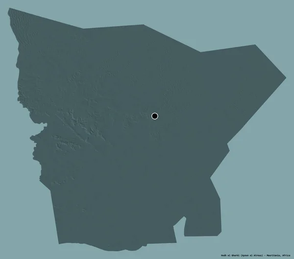
Shape of Hodh el Gharbi, region of Mauritania, with its capital isolated on a solid color background. Colored elevation map. 3D rendering
Shape Hodh Gharbi Region Mauritania Its Capital Isolated Solid Color — Stock Photo, Image
Shape of Al Jabal al Gharbi, district of Libya, with its capital isolated on a solid color background. Colored elevation map. 3D rendering
Shape Jabal Gharbi District Libya Its Capital Isolated Solid Color — Stock Photo, Image
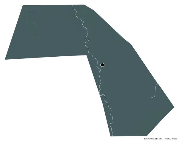
Shape of Jubbada Dhexe, region of Somalia, with its capital isolated on a solid color background. Colored elevation map. 3D rendering
Shape Jubbada Dhexe Region Somalia Its Capital Isolated Solid Color — Stock Photo, Image
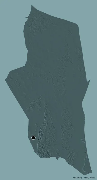
Shape of Ghat, district of Libya, with its capital isolated on a solid color background. Colored elevation map. 3D rendering
Shape Ghat District Libya Its Capital Isolated Solid Color Background — Stock Photo, Image
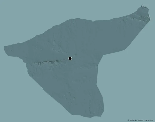
Shape of Al Hasakah, province of Syria, with its capital isolated on a solid color background. Colored elevation map. 3D rendering
Shape Hasakah Province Syria Its Capital Isolated Solid Color Background — Stock Photo, Image
Shape of Catamarca, province of Argentina, with its capital isolated on a solid color background. Colored elevation map. 3D rendering
Shape Catamarca Province Argentina Its Capital Isolated Solid Color Background — Stock Photo, Image
Shape of Jubbada Dhexe, region of Somalia, with its capital isolated on white background. Colored elevation map. 3D rendering
Shape Jubbada Dhexe Region Somalia Its Capital Isolated White Background — Stock Photo, Image
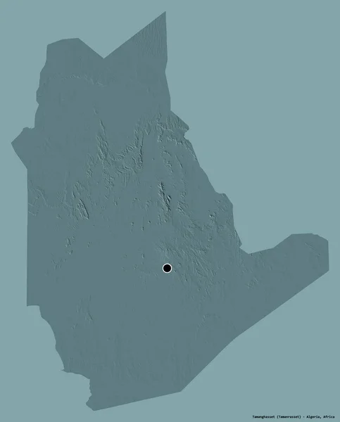
Shape of Tamanghasset, province of Algeria, with its capital isolated on a solid color background. Colored elevation map. 3D rendering
Shape Tamanghasset Province Algeria Its Capital Isolated Solid Color Background — Stock Photo, Image
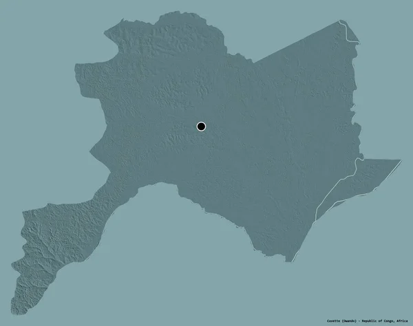
Shape of Cuvette, region of Republic of Congo, with its capital isolated on a solid color background. Colored elevation map. 3D rendering
Shape Cuvette Region Republic Congo Its Capital Isolated Solid Color — Stock Photo, Image
Shape of Matrouh, governorate of Egypt, with its capital isolated on white background. Colored elevation map. 3D rendering
Shape Matrouh Governorate Egypt Its Capital Isolated White Background Colored — Stock Photo, Image

Usage Information

You can use this royalty-free photo "Shape of Tagant, region of Mauritania, with its capital isolated on a solid color background. Colored elevation map. 3D rendering" for personal and commercial purposes according to the Standard or Extended License. The Standard License covers most use cases, including advertising, UI designs, and product packaging, and allows up to 500,000 print copies. The Extended License permits all use cases under the Standard License with unlimited print rights and allows you to use the downloaded stock images for merchandise, product resale, or free distribution.

You can buy this stock photo and download it in high resolution up to 3836x2382. Upload Date: Aug 13, 2020