Sorsogon Province Philippines Colored Shader Data Lakes Rivers Shape Outlined — Stock Photo, Image

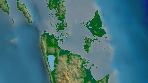
Sorsogon, province of Philippines. Colored shader data with lakes and rivers. Shape outlined against its country area. 3D rendering — Photo

Sorsogon, province of Philippines. Colored shader data with lakes and rivers. Shape outlined against its country area. 3D rendering

 — Photo by Yarr65

Same Series:

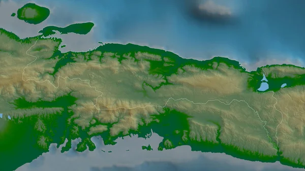
Nippes, department of Haiti. Colored shader data with lakes and rivers. Shape outlined against its country area. 3D rendering
Nippes Department Haiti Colored Shader Data Lakes Rivers Shape Outlined — Stock Photo, Image
Surigao del Norte, province of Philippines. Colored shader data with lakes and rivers. Shape outlined against its country area. 3D rendering
Surigao Del Norte Province Philippines Colored Shader Data Lakes Rivers — Stock Photo, Image
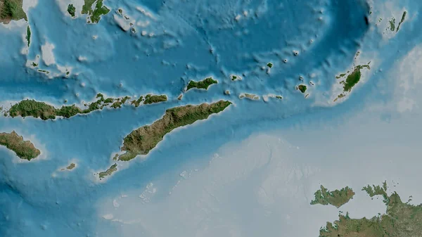
Satellite map of the area around the Timor tectonic plate. 3D rendering
Satellite Map Area Timor Tectonic Plate Rendering — Stock Photo, Image
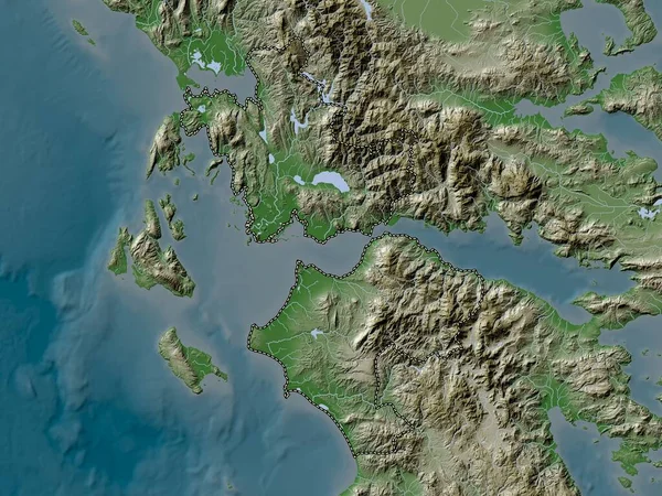
Western Greece, decentralized administration of Greece. Elevation map colored in wiki style with lakes and rivers
Western Greece Decentralized Administration Greece Elevation Map Colored Wiki Style — Stock Photo, Image
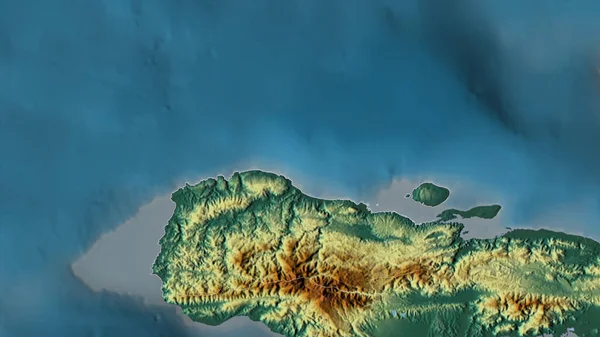
Grand'Anse, department of Haiti. Colored shader data with lakes and rivers. Shape outlined against its country area. 3D rendering
Grand Anse Department Haiti Colored Shader Data Lakes Rivers Shape — Stock Photo, Image
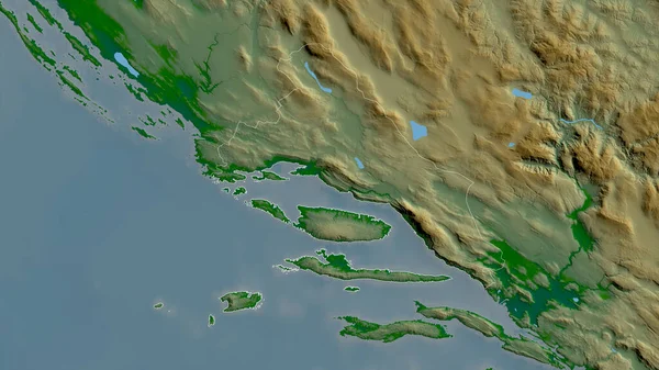
Splitsko-Dalmatinska, county of Croatia. Colored shader data with lakes and rivers. Shape outlined against its country area. 3D rendering
Splitsko Dalmatinska County Croatia Colored Shader Data Lakes Rivers Shape — Stock Photo, Image
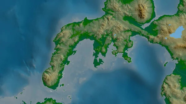
Zamboanga del Sur, province of Philippines. Colored shader data with lakes and rivers. Shape outlined against its country area. 3D rendering
Zamboanga Del Sur Province Philippines Colored Shader Data Lakes Rivers — Stock Photo, Image
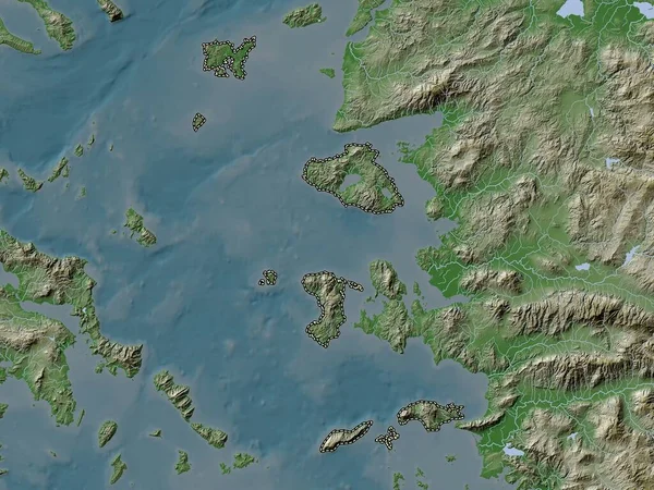
North Aegean, decentralized administration of Greece. Elevation map colored in wiki style with lakes and rivers
North Aegean Decentralized Administration Greece Elevation Map Colored Wiki Style — Stock Photo, Image
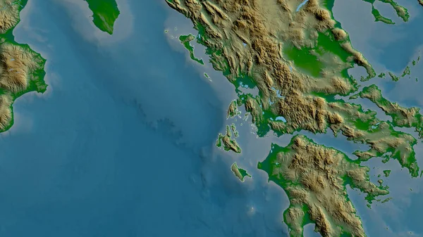
Ionian Islands, decentralized administration of Greece. Colored elevation map with lakes and rivers
Ionian Islands Decentralized Administration Greece Colored Elevation Map Lakes Rivers — Stock Photo, Image
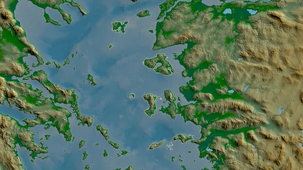
North Aegean, decentralized administration of Greece. Colored shader data with lakes and rivers. Shape outlined against its country area. 3D rendering
North Aegean Decentralized Administration Greece Colored Shader Data Lakes Rivers — Stock Photo, Image
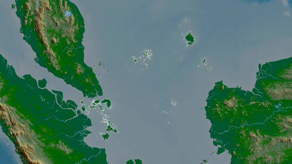
Kepulauan Riau, province of Indonesia. Colored shader data with lakes and rivers. Shape outlined against its country area. 3D rendering
Kepulauan Riau Province Indonesia Colored Shader Data Lakes Rivers Shape — Stock Photo, Image
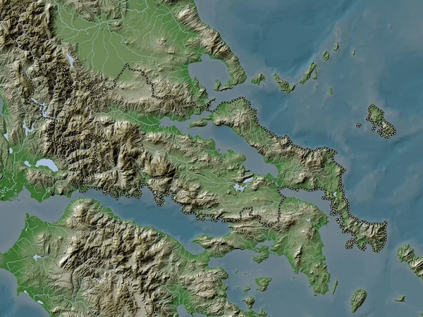
Central Greece, decentralized administration of Greece. Elevation map colored in wiki style with lakes and rivers
Central Greece Decentralized Administration Greece Elevation Map Colored Wiki Style — Stock Photo, Image
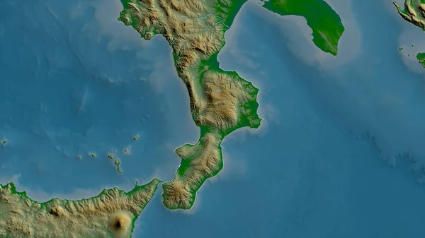
Calabria, region of Italy. Colored shader data with lakes and rivers. Shape outlined against its country area. 3D rendering
Calabria Region Italy Colored Shader Data Lakes Rivers Shape Outlined — Stock Photo, Image
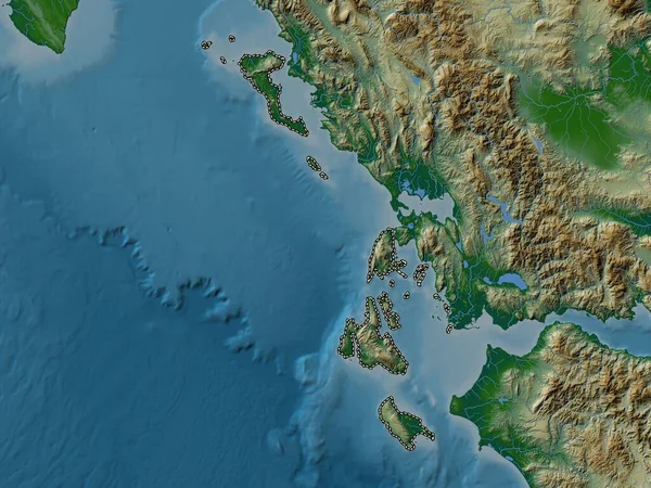
Ionian Islands, decentralized administration of Greece. Colored shader data with lakes and rivers. Shape outlined against its country area. 3D rendering
Ionian Islands Decentralized Administration Greece Colored Shader Data Lakes Rivers — Stock Photo, Image
Grand'Anse, department of Haiti. Colored relief with lakes and rivers. Shape outlined against its country area. 3D rendering
Grand Anse Department Haiti Colored Relief Lakes Rivers Shape Outlined — Stock Photo, Image
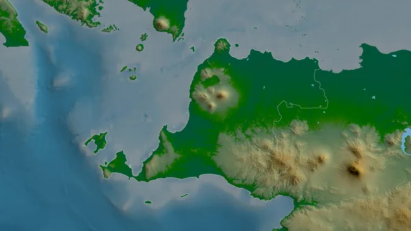
Banten, province of Indonesia. Colored shader data with lakes and rivers. Shape outlined against its country area. 3D rendering
Banten Province Indonesia Colored Shader Data Lakes Rivers Shape Outlined — Stock Photo, Image

Usage Information

You can use this royalty-free photo "Sorsogon, province of Philippines. Colored shader data with lakes and rivers. Shape outlined against its country area. 3D rendering" for personal and commercial purposes according to the Standard or Extended License. The Standard License covers most use cases, including advertising, UI designs, and product packaging, and allows up to 500,000 print copies. The Extended License permits all use cases under the Standard License with unlimited print rights and allows you to use the downloaded stock images for merchandise, product resale, or free distribution.

You can buy this stock photo and download it in high resolution up to 2880x1620. Upload Date: Jun 21, 2020