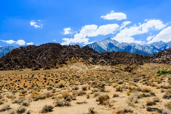
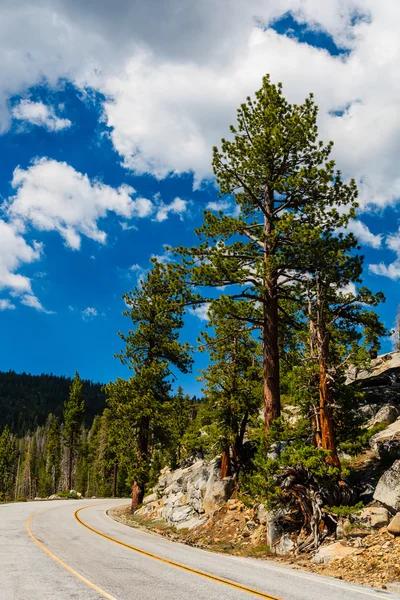
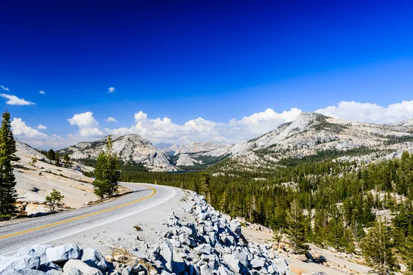
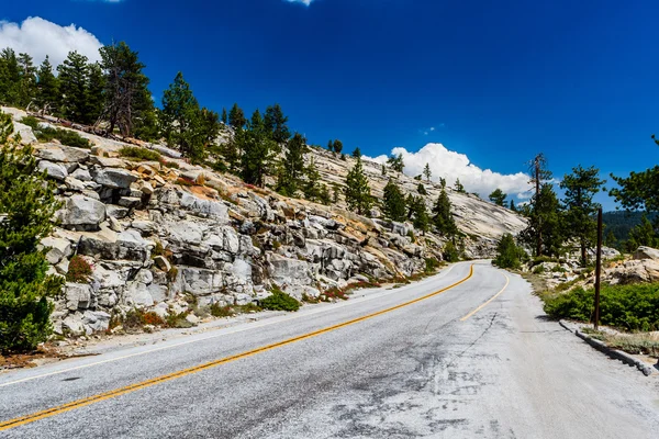
Street at the Alabama Hills, Sierra Nevada — Stock Photo, Image

Street at the Alabama Hills, Sierra Nevada — Photo

Alabama Hills are a range of hills and rock formations near the eastern slope of the Sierra Nevada Mountains in the Owens Valley, west of Lone Pine in Inyo County, California.

 — Photo by bjoernalberts

Same Series:

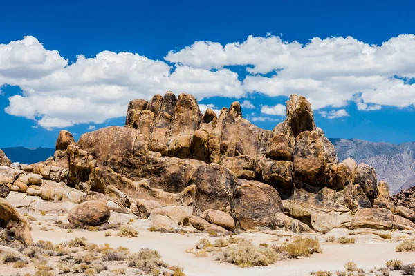
Alabama Hills are a range of hills and rock formations near the eastern slope of the Sierra Nevada Mountains in the Owens Valley, west of Lone Pine in Inyo County, California.
Alabama Hills rock formation, Sierra Nevada — Stock Photo, Image
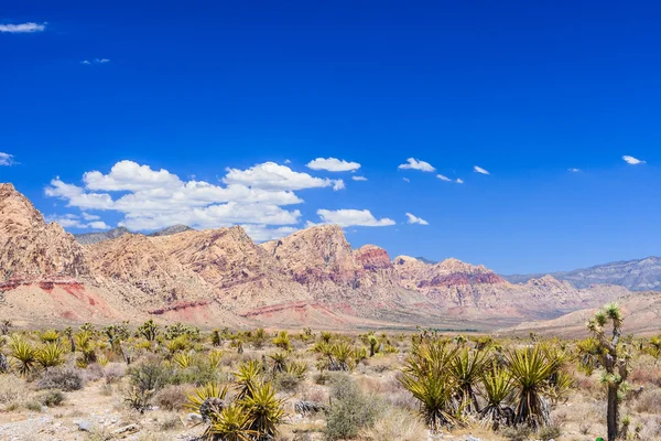
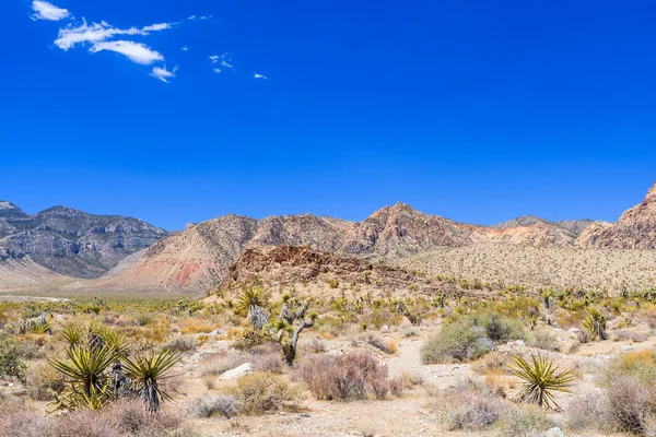
Majestic sandstone escarpment dominates the Red Rock Canyon National Conservation Area. Narrow canyons along the escarpment are popular day-hike destinations.
Red Rock Canyon panoramic, Mojave Desert, Nevada, USA — Stock Photo, Image
Alabama Hills are a range of hills and rock formations near the eastern slope of the Sierra Nevada Mountains in the Owens Valley, west of Lone Pine in Inyo County, California.
Elephant rock, Alabama Hills, Sierra Nevada — Stock Photo, Image
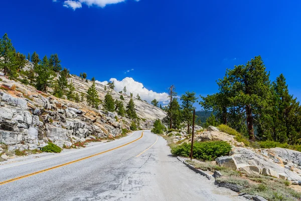
Tioga Pass is a mountain pass in the Sierra Nevada mountains. State Route 120 runs through it, and serves as the eastern entry point for Yosemite National Park, at the Tioga Pass Entrance Station.
Tioga Pass, Yosemite National Park, Sierra Nevada, USA — Stock Photo, Image
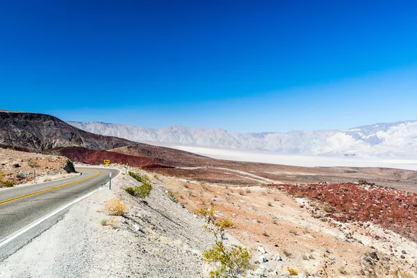
Nadeau Trail is next to Darwin Wash and is located in Inyo County, California, United States. Nadeau Trail has a length of 1.81 kilometres.
Nadeau Trial, Highway 190, Death Valles National Park — Stock Photo, Image
Alabama Hills are a "range of hills" and rock formations near the eastern slope of the Sierra Nevada Mountains in the Owens Valley, west of Lone Pine in Inyo County, California
Steinformationen in den Alabama Hills — Stock Photo, Image
Tioga Pass is a mountain pass in the Sierra Nevada mountains. State Route 120 runs through it, and serves as the eastern entry point for Yosemite National Park, at the Tioga Pass Entrance Station.
Tioga Pass, Yosemite National Park, Sierra Nevada, USA — Stock Photo, Image
Nadeau Trail is next to Darwin Wash and is located in Inyo County, California, United States. Nadeau Trail has a length of 1.81 kilometres.
Nadeau Trial, Highway 190, Death Valles National Park — Stock Photo, Image
Tioga Pass is a mountain pass in the Sierra Nevada mountains. State Route 120 runs through it, and serves as the eastern entry point for Yosemite National Park, at the Tioga Pass Entrance Station.
Tree at Tioga Pass, Yosemite National Park, Sierra Nevada, USA — Stock Photo, Image
Along Joshua Tree Road in the Mojave Desert near to the Scenic Backway.
Road 1005, Littlefield, AZ 86432, USA — Stock Photo, Image
Alabama Hills are a range of hills and rock formations near the eastern slope of the Sierra Nevada Mountains in the Owens Valley, west of Lone Pine in Inyo County, California.
Hippo Rock at Alabama Hills, Sierra Nevada — Stock Photo, Image
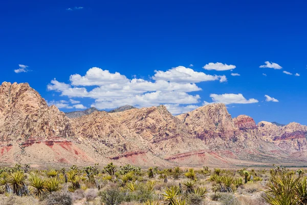
Majestic sandstone escarpment dominates the Red Rock Canyon National Conservation Area. Narrow canyons along the escarpment are popular day-hike destinations.
Red Rock Canyon panoramic, Mojave Desert, Nevada, USA — Stock Photo, Image
Majestic sandstone escarpment dominates the Red Rock Canyon National Conservation Area. Narrow canyons along the escarpment are popular day-hike destinations.
Red Rock Canyon panoramic, Mojave Desert, Nevada, USA — Stock Photo, Image
Tioga Pass is a mountain pass in the Sierra Nevada mountains. State Route 120 runs through it, and serves as the eastern entry point for Yosemite National Park, at the Tioga Pass Entrance Station.
Tioga Pass, Yosemite National Park, Sierra Nevada, USA — Stock Photo, Image
Mono Lake is a large, shallow saline soda lake in Mono County, California, formed at least 760,000 years ago as a terminal lake in an endorheic basin.
Mono Lake landscape, California, USA. — Stock Photo, Image
Tioga Pass is a mountain pass in the Sierra Nevada mountains. State Route 120 runs through it, and serves as the eastern entry point for Yosemite National Park, at the Tioga Pass Entrance Station.
Tioga Pass, Yosemite National Park, Sierra Nevada, USA — Stock Photo, Image

Usage Information

You can use this royalty-free photo "Street at the Alabama Hills, Sierra Nevada" for personal and commercial purposes according to the Standard or Extended License. The Standard License covers most use cases, including advertising, UI designs, and product packaging, and allows up to 500,000 print copies. The Extended License permits all use cases under the Standard License with unlimited print rights and allows you to use the downloaded stock images for merchandise, product resale, or free distribution.

You can buy this stock photo and download it in high resolution up to 3817x2545. Upload Date: Oct 14, 2015