Top View Aerial Photo Flying Drone Beautiful Green Rice Field — Stock Photo, Image

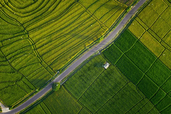
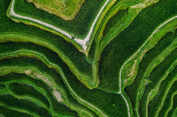
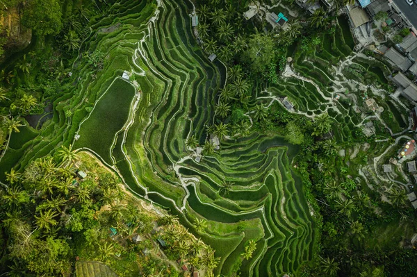
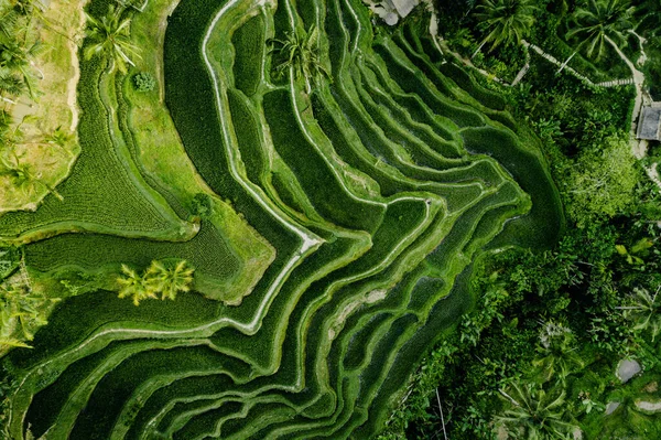
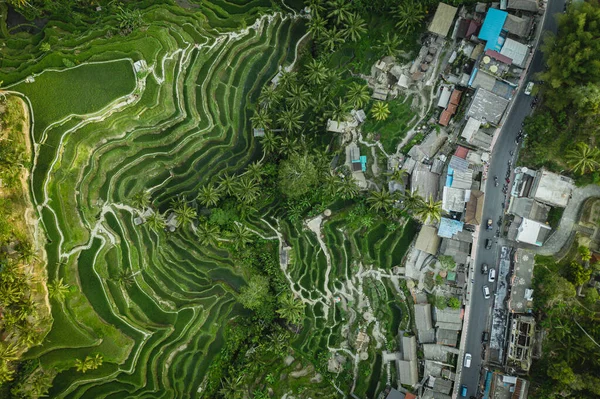
Top view Aerial photo from flying drone over beautiful green rice field background and the road from above Bali Indonesia — Photo

Top view Aerial photo from flying drone over beautiful green rice field background and the road from above Bali Indonesia

 — Photo by irengorbacheva

Same Series:

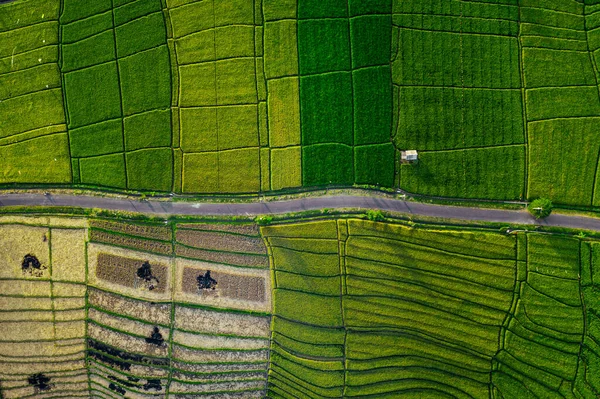
Top view Aerial photo from flying drone over beautiful green rice field background and the road from above Bali Indonesia
Top View Aerial Photo Flying Drone Beautiful Green Rice Field — Stock Photo, Image
Top view Aerial photo from flying drone over beautiful green rice field background and the road from above Bali Indonesia
Top View Aerial Photo Flying Drone Beautiful Green Rice Field — Stock Photo, Image
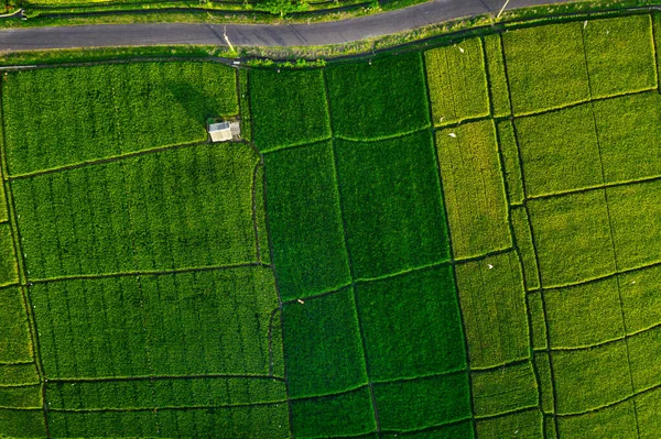
Top view Aerial photo from flying drone over beautiful green rice field background and the road from above Bali Indonesia
Top View Aerial Photo Flying Drone Beautiful Green Rice Field — Stock Photo, Image
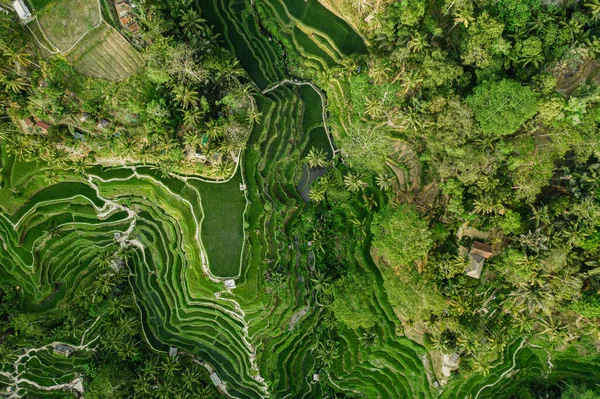
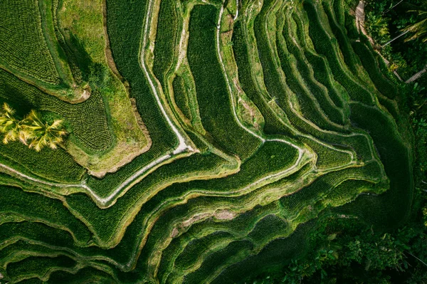
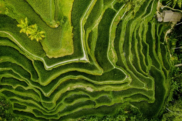
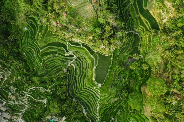
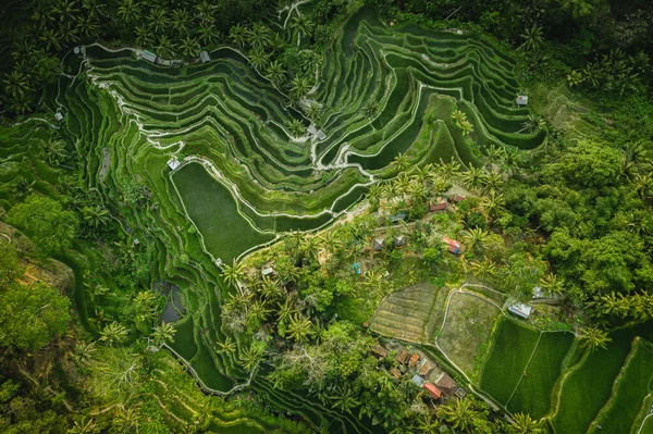
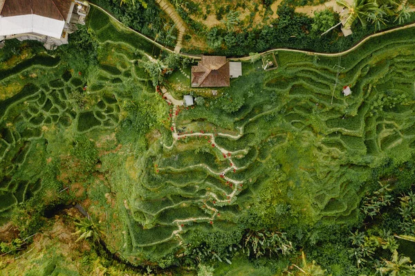
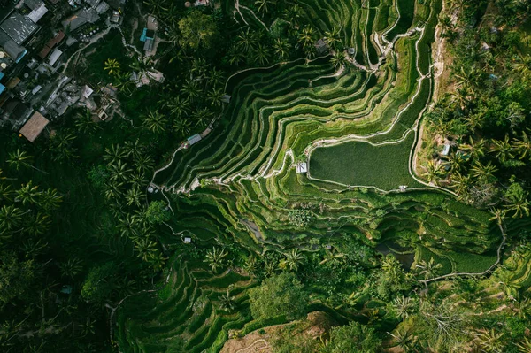
Drone view of rice plantation in bali with path to walk around and palms.Rice terraces photos from the height, bali, indonesia, ubud, the geometry of the rice field
Drone View Rice Plantation Bali Path Walk Palms Rice Terraces — Stock Photo, Image
Drone view of rice plantation in bali with path to walk around and palms.Rice terraces photos from the height, bali, indonesia, ubud, the geometry of the rice field
Drone View Rice Plantation Bali Path Walk Palms Rice Terraces — Stock Photo, Image
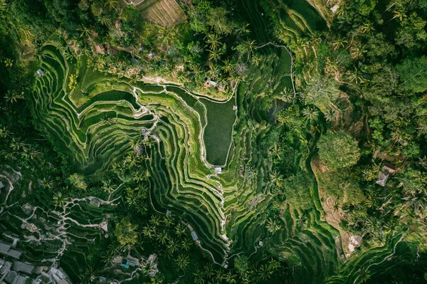
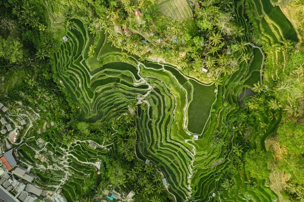
Ubud of the island Bali in indonesia in southeastasia. Aerial drone view. Landscape of the Tegalalang ricefields and rice terraces green tones
Ubud Island Bali Indonesia Southeastasia Aerial Drone View Landscape Tegalalang — Stock Photo, Image
Drone view of rice plantation in bali with path to walk around and palms.Rice terraces photos from the height, bali, indonesia, ubud, the geometry of the rice field
Drone View Rice Plantation Bali Path Walk Palms Rice Terraces — Stock Photo, Image
Aerial view of Tegalalang Bali rice terraces. Abstract geometric shapes of agricultural parcels in green color. Drone photo directly above field
Aerial View Tegalalang Bali Rice Terraces Abstract Geometric Shapes Agricultural — Stock Photo, Image
Drone view of rice plantation in bali with path to walk around and palms.Rice terraces photos from the height, bali, indonesia, ubud, the geometry of the rice field
Drone View Rice Plantation Bali Path Walk Palms Rice Terraces — Stock Photo, Image
Drone view of rice plantation in bali with path to walk around and palms.Rice terraces photos from the height, bali, indonesia, ubud, the geometry of the rice field
Drone View Rice Plantation Bali Path Walk Palms Rice Terraces — Stock Photo, Image
Drone view of rice plantation in bali with path to walk around and palms.Rice terraces photos from the height, bali, indonesia, ubud, the geometry of the rice field
Drone View Rice Plantation Bali Path Walk Palms Rice Terraces — Stock Photo, Image
Drone view of rice plantation in bali with path to walk around and palms.Rice terraces photos from the height, bali, indonesia, ubud, the geometry of the rice field
Drone View Rice Plantation Bali Path Walk Palms Rice Terraces — Stock Photo, Image
Drone view of rice plantation in bali with path to walk around and palms.Rice terraces photos from the height, bali, indonesia, ubud, the geometry of the rice field
Drone View Rice Plantation Bali Path Walk Palms Rice Terraces — Stock Photo, Image
Drone view of rice plantation in bali with path to walk around and palms.Rice terraces photos from the height, bali, indonesia, ubud, the geometry of the rice field
Drone View Rice Plantation Bali Path Walk Palms Rice Terraces — Stock Photo, Image
Ubud of the island Bali in indonesia in southeastasia. Aerial drone view. Landscape of the Tegalalang ricefields and rice terraces green tones
Ubud Island Bali Indonesia Southeastasia Aerial Drone View Landscape Tegalalang — Stock Photo, Image
Ubud of the island Bali in indonesia in southeastasia. Aerial drone view. Landscape of the Tegalalang ricefields and rice terraces green tones
Ubud Island Bali Indonesia Southeastasia Aerial Drone View Landscape Tegalalang — Stock Photo, Image

Usage Information

You can use this royalty-free photo "Top view Aerial photo from flying drone over beautiful green rice field background and the road from above Bali Indonesia" for personal and commercial purposes according to the Standard or Extended License. The Standard License covers most use cases, including advertising, UI designs, and product packaging, and allows up to 500,000 print copies. The Extended License permits all use cases under the Standard License with unlimited print rights and allows you to use the downloaded stock images for merchandise, product resale, or free distribution.

You can buy this stock photo and download it in high resolution up to 5423x3613. Upload Date: May 2, 2020