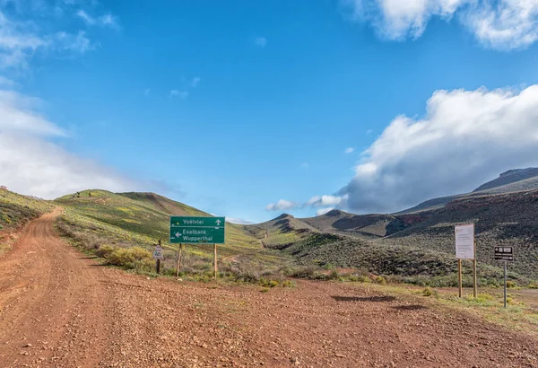
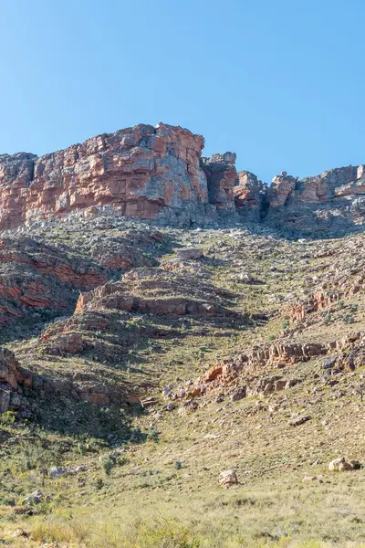
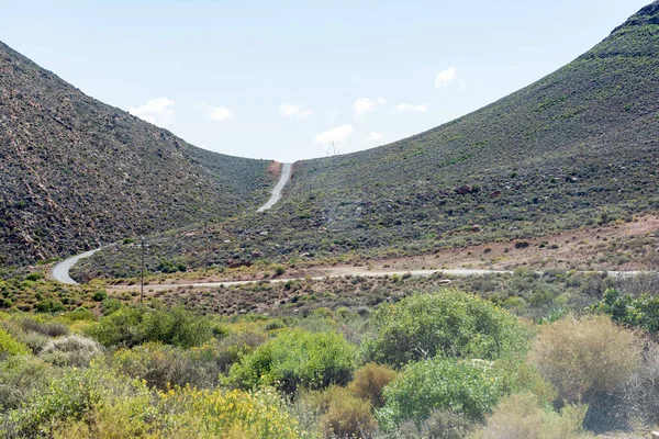
View Ouberg Pass Sutherland Northern Cape Karoo — Stock Photo, Image

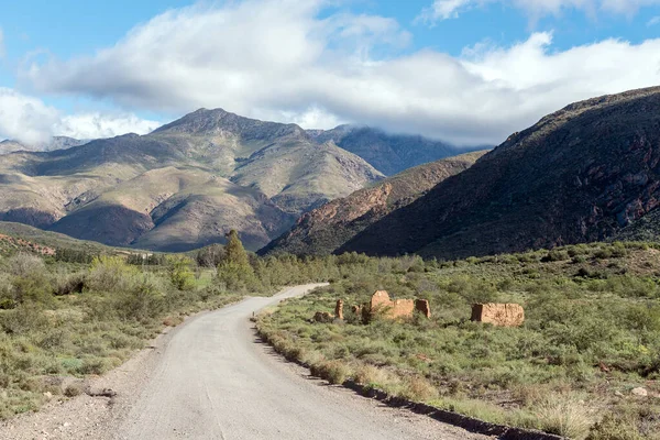
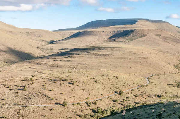
View of the Ouberg Pass near Sutherland in the Northern Cape Karoo — Photo

View of the Ouberg Pass near Sutherland in the Northern Cape Karoo

 — Photo by dpreezg

Same Series:

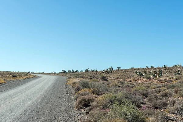
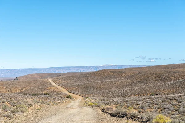
A landscape, with prickly pear cactusses, on road R356 between Loxton and Fraserburg in the Northern Cape Karoo
Landscape Prickly Pear Cactusses Road R356 Loxton Fraserburg Northern Cape — Stock Photo, Image
A paved section of the Peerboomskloof Pass in the Western Cape Cederberg
Paved Section Peerboomskloof Pass Western Cape Cederberg — Stock Photo, Image
A mountain landscape on road C27 between Sesriem and Betta.
Mountain Landscape Road C27 Sesriem Betta — Stock Photo, Image
Ruins on the road from Amalienstein to Seweweekspoort in the Swartberg mountains
Ruins Road Amalienstein Seweweekspoort Swartberg Mountains — Stock Photo, Image
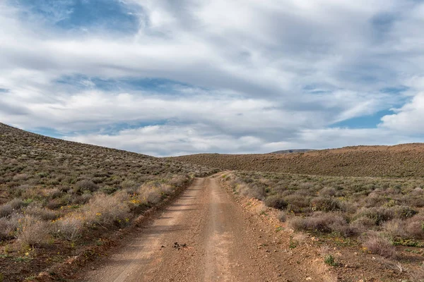
Road landscape in the Tankwa Karoo in the Northern Cape Province of South Africa
Road Landscape Tankwa Karoo Northern Cape Province South Africa — Stock Photo, Image
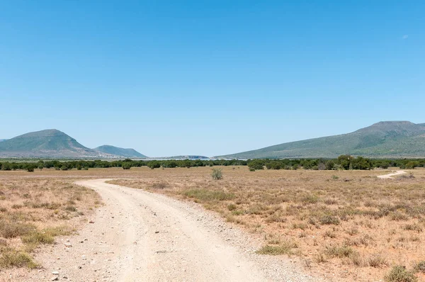
CAMDEBOO NATIONAL PARK, SOUTH AFRICA - MARCH 22, 2017: A road in the Cambdeboo National Park with the Nqweba dam and Graaff Reinet in the distance
Cambdeboo National Park, Nqweba dam and Graaff Reinet — Stock Photo, Image
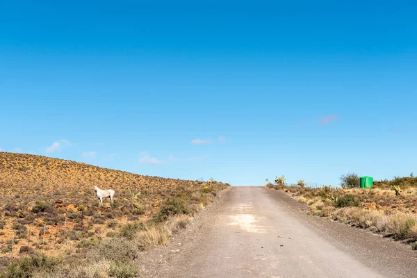
Farm landscape on road R356 between Loxton and Fraserburg in the Northern Cape Province. A white horse and green water tank are visible
Farm Landscape Road R356 Loxton Fraserburg Northern Cape Province White — Stock Photo, Image
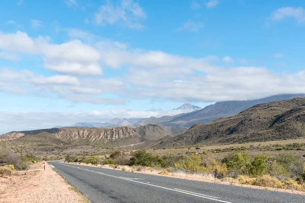
A landscape on road R356 to Ceres in the Western Cape Province. Snow is visible on Sneeuberg in the Cederberg, to the right
Landscape Road R356 Ceres Western Cape Province Snow Visible Sneeuberg — Stock Photo, Image
View from the mountain pass on the Kranskop Loop in the Mountain Zebra National Park near Cradock in South Africa
View from the mountain pass on the Kranskop Loop — Stock Photo, Image
The scenic road R62 between Calitzdorp, and Ladismith in the Western Cape Province
Scenic road R62 between Calitzdorp, and Ladismith — Stock Photo, Image
CEDERBERG, SOUTH AFRICA, AUGUST 27, 2018: A junction on the road between Matjiesrivier and Wupperthal in the Cederberg Mountains of the Western Cape Province
Cederberg South Africa August 2018 Junction Road Matjiesrivier Wupperthal Cederberg — Stock Photo, Image
A farm landscape on road R356 between Fraserburg and Sutherland in the Northern Cape. Old stone livestock enclosures, a dam and a windmill are visible
Farm Landscape Road R356 Fraserburg Sutherland Northern Cape Old Stone — Stock Photo, Image
Road C39 passing through the Huab river in Damaraland, Namibia
Road C39 Passing Huab River Damaraland Namibia — Stock Photo, Image
Trail up the valley to the Wolfberg Cracks at Sanddrif in the Western Cape Cederberg
Trail Valley Wolfberg Cracks Sanddrif Western Cape Cederberg — Stock Photo, Image
View of road R356 with the town of Sutherland in the back. A radar station is visible on the mountain in the back
View Road R356 Town Sutherland Back Radar Station Visible Mountain — Stock Photo, Image
View of the Blinkberg Pass on the Ceres to Matjiesrivier road in the Western Cape Cederberg. Photo taken fron the south
View Blinkberg Pass Ceres Matjiesrivier Road Western Cape Cederberg Photo — Stock Photo, Image

Usage Information

You can use this royalty-free photo "View of the Ouberg Pass near Sutherland in the Northern Cape Karoo" for personal and commercial purposes according to the Standard or Extended License. The Standard License covers most use cases, including advertising, UI designs, and product packaging, and allows up to 500,000 print copies. The Extended License permits all use cases under the Standard License with unlimited print rights and allows you to use the downloaded stock images for merchandise, product resale, or free distribution.

You can buy this stock photo and download it in high resolution up to 3595x2400. Upload Date: Oct 19, 2022