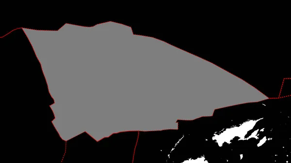
Zoom Oued Dahab Province Western Sahara Outlined Oblique Perspective Bilevel — Stock Photo, Image

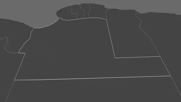
Zoom in on Oued el Dahab (province of Western Sahara) outlined. Oblique perspective. Bilevel elevation map with surface waters. 3D rendering — Photo

Zoom in on Oued el Dahab (province of Western Sahara) outlined. Oblique perspective. Bilevel elevation map with surface waters. 3D rendering

 — Photo by Yarr65

Same Series:

Shape of the Balmoral Reef tectonic plate with borders of surrounding plates against the backdrop of a white mask of continents and islands. 3D rendering
Shape Balmoral Reef Tectonic Plate Borders Surrounding Plates Backdrop White — Stock Photo, Image
Shape of Diffa, department of Niger, with its capital isolated on a solid color background. Bilevel elevation map. 3D rendering
Shape Diffa Department Niger Its Capital Isolated Solid Color Background — Stock Photo, Image
Shape of Mannar, district of Sri Lanka, with its capital isolated on white background. Colored elevation map. 3D rendering
Shape Mannar District Sri Lanka Its Capital Isolated White Background — Stock Photo, Image
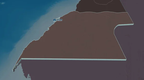
Zoom in on Oued el Dahab (province of Western Sahara) extruded. Oblique perspective. Colored and bumped map of the administrative division with surface waters. 3D rendering
Zoom Oued Dahab Province Western Sahara Extruded Oblique Perspective Colored — Stock Photo, Image
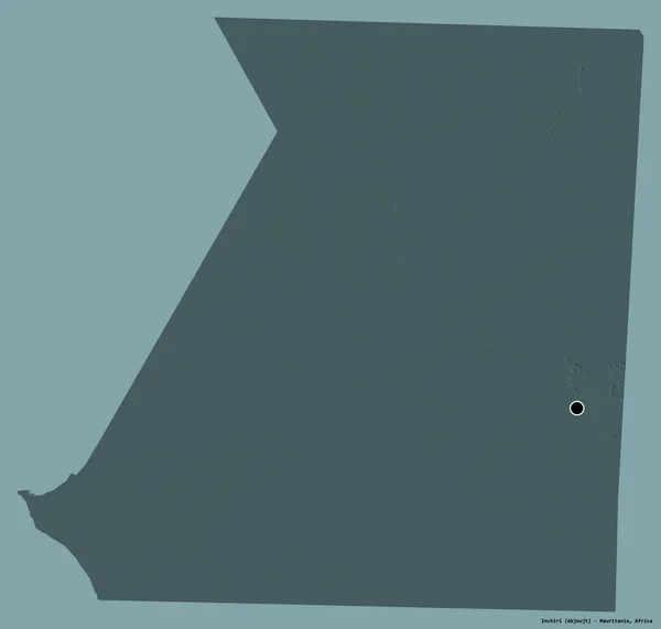
Shape of Inchiri, region of Mauritania, with its capital isolated on a solid color background. Colored elevation map. 3D rendering
Shape Inchiri Region Mauritania Its Capital Isolated Solid Color Background — Stock Photo, Image
Shape of Diffa, department of Niger, with its capital isolated on a solid color background. Composition of patterned textures. 3D rendering
Shape Diffa Department Niger Its Capital Isolated Solid Color Background — Stock Photo, Image
Shape of Diffa, department of Niger, with its capital isolated on white background. Bilevel elevation map. 3D rendering
Shape Diffa Department Niger Its Capital Isolated White Background Bilevel — Stock Photo, Image
Zoom in on Nickerie (district of Suriname) outlined. Oblique perspective. Bilevel elevation map with surface waters. 3D rendering
Zoom Nickerie District Suriname Outlined Oblique Perspective Bilevel Elevation Map — Stock Photo, Image
Zoom in on Al Wahat (district of Libya) outlined. Oblique perspective. Bilevel elevation map with surface waters. 3D rendering
Zoom Wahat District Libya Outlined Oblique Perspective Bilevel Elevation Map — Stock Photo, Image
Shape of the Galapagos tectonic plate with borders of surrounding plates against the backdrop of a white mask of continents and islands. 3D rendering
Shape Galapagos Tectonic Plate Borders Surrounding Plates Backdrop White Mask — Stock Photo, Image
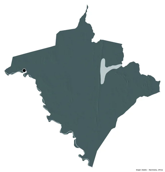
Shape of Gorgol, region of Mauritania, with its capital isolated on white background. Colored elevation map. 3D rendering
Shape Gorgol Region Mauritania Its Capital Isolated White Background Colored — Stock Photo, Image
Tectonic plates borders within areas adjacent to the Somalian tectonic plate. Black background. Van der Grinten I projection (oblique transformation). Compositing tool
Tectonic Plates Borders Areas Adjacent Somalian Tectonic Plate Black Background — Stock Photo, Image
Tectonic plates borders within areas adjacent to the South American tectonic plate. Black background. Van der Grinten I projection (oblique transformation). Compositing tool
Tectonic Plates Borders Areas Adjacent South American Tectonic Plate Black — Stock Photo, Image
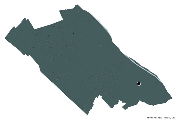
Shape of Can Tho, city of Vietnam, with its capital isolated on white background. Colored elevation map. 3D rendering
Shape Can Tho City Vietnam Its Capital Isolated White Background — Stock Photo, Image
Shape of Adrar, province of Algeria, with its capital isolated on white background. Topographic relief map. 3D rendering
Shape Adrar Province Algeria Its Capital Isolated White Background Topographic — Stock Photo, Image
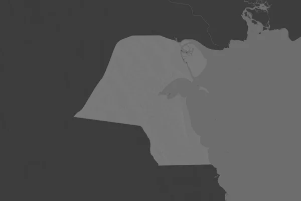
Shape of Kuwait separated by the desaturation of neighboring areas. Bilevel elevation map. 3D rendering
Shape Kuwait Separated Desaturation Neighboring Areas Bilevel Elevation Map Rendering — Stock Photo, Image

Usage Information

You can use this royalty-free photo "Zoom in on Oued el Dahab (province of Western Sahara) outlined. Oblique perspective. Bilevel elevation map with surface waters. 3D rendering" for personal and commercial purposes according to the Standard or Extended License. The Standard License covers most use cases, including advertising, UI designs, and product packaging, and allows up to 500,000 print copies. The Extended License permits all use cases under the Standard License with unlimited print rights and allows you to use the downloaded stock images for merchandise, product resale, or free distribution.

You can buy this stock photo and download it in high resolution up to 3840x2160. Upload Date: Jun 29, 2020