Zoom Tshuapa Province Democratic Republic Congo Extruded Oblique Perspective Bilevel — Stock Photo, Image

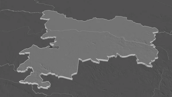
Zoom in on Tshuapa (province of Democratic Republic of the Congo) extruded. Oblique perspective. Bilevel elevation map with surface waters. 3D rendering — Photo

Zoom in on Tshuapa (province of Democratic Republic of the Congo) extruded. Oblique perspective. Bilevel elevation map with surface waters. 3D rendering

 — Photo by Yarr65

Same Series:

Zoom in on Rapla (county of Estonia) outlined. Oblique perspective. Bilevel elevation map with surface waters. 3D rendering
Zoom Rapla County Estonia Outlined Oblique Perspective Bilevel Elevation Map — Stock Photo, Image
Zoom in on Grad Beograd (city of Serbia) outlined. Oblique perspective. Bilevel elevation map with surface waters. 3D rendering
Zoom Grad Beograd City Serbia Outlined Oblique Perspective Bilevel Elevation — Stock Photo, Image
Zoom in on Prahova (county of Romania) outlined. Oblique perspective. Bilevel elevation map with surface waters. 3D rendering
Zoom Prahova County Romania Outlined Oblique Perspective Bilevel Elevation Map — Stock Photo, Image
Zoom in on Prahova (county of Romania) outlined. Oblique perspective. Colored and bumped map of the administrative division with surface waters. 3D rendering
Zoom Prahova County Romania Outlined Oblique Perspective Colored Bumped Map — Stock Photo, Image
Zoom in on Potaro-Siparuni (region of Guyana) outlined. Oblique perspective. Bilevel elevation map with surface waters. 3D rendering
Zoom Potaro Siparuni Region Guyana Outlined Oblique Perspective Bilevel Elevation — Stock Photo, Image
Zoom in on Vlaams Brabant (province of Belgium) extruded. Oblique perspective. Bilevel elevation map with surface waters. 3D rendering
Zoom Vlaams Brabant Province Belgium Extruded Oblique Perspective Bilevel Elevation — Stock Photo, Image
Zoom in on Woroba (district of Cote d'Ivoire) extruded. Oblique perspective. Bilevel elevation map with surface waters. 3D rendering
Zoom Woroba District Cote Ivoire Extruded Oblique Perspective Bilevel Elevation — Stock Photo, Image
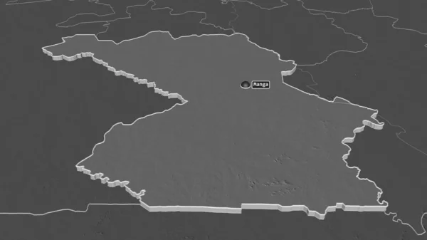
Zoom in on Haut-Uele (province of Democratic Republic of the Congo) extruded. Oblique perspective. Bilevel elevation map with surface waters. 3D rendering
Zoom Haut Uele Province Democratic Republic Congo Extruded Oblique Perspective — Stock Photo, Image
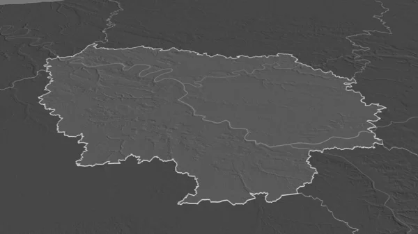
Zoom in on Ile-de-France (region of France) outlined. Oblique perspective. Bilevel elevation map with surface waters. 3D rendering
Zoom Ile France Region France Outlined Oblique Perspective Bilevel Elevation — Stock Photo, Image
Zoom in on Bekes (county of Hungary) outlined. Oblique perspective. Bilevel elevation map with surface waters. 3D rendering
Zoom Bekes County Hungary Outlined Oblique Perspective Bilevel Elevation Map — Stock Photo, Image
Zoom in on Centre-Sud (region of Burkina Faso) extruded. Oblique perspective. Bilevel elevation map with surface waters. 3D rendering
Zoom Centre Sud Region Burkina Faso Extruded Oblique Perspective Bilevel — Stock Photo, Image
Zoom in on Sremski (district of Serbia) outlined. Oblique perspective. Bilevel elevation map with surface waters. 3D rendering
Zoom Sremski District Serbia Outlined Oblique Perspective Bilevel Elevation Map — Stock Photo, Image
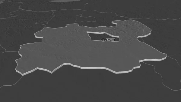
Zoom in on Tov (province of Mongolia) extruded. Oblique perspective. Bilevel elevation map with surface waters. 3D rendering
Zoom Tov Province Mongolia Extruded Oblique Perspective Bilevel Elevation Map — Stock Photo, Image
Zoom in on Luxembourg (province of Belgium) outlined. Oblique perspective. Bilevel elevation map with surface waters. 3D rendering
Zoom Luxembourg Province Belgium Outlined Oblique Perspective Bilevel Elevation Map — Stock Photo, Image
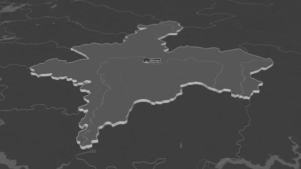
Zoom in on Kirov (region of Russia) extruded. Oblique perspective. Bilevel elevation map with surface waters. 3D rendering
Zoom Kirov Region Russia Extruded Oblique Perspective Bilevel Elevation Map — Stock Photo, Image
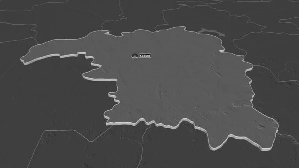
Zoom in on Kaduna (state of Nigeria) extruded. Oblique perspective. Bilevel elevation map with surface waters. 3D rendering
Zoom Kaduna State Nigeria Extruded Oblique Perspective Bilevel Elevation Map — Stock Photo, Image

Usage Information

You can use this royalty-free photo "Zoom in on Tshuapa (province of Democratic Republic of the Congo) extruded. Oblique perspective. Bilevel elevation map with surface waters. 3D rendering" for personal and commercial purposes according to the Standard or Extended License. The Standard License covers most use cases, including advertising, UI designs, and product packaging, and allows up to 500,000 print copies. The Extended License permits all use cases under the Standard License with unlimited print rights and allows you to use the downloaded stock images for merchandise, product resale, or free distribution.

You can buy this stock photo and download it in high resolution up to 3840x2160. Upload Date: Jun 29, 2020