Ancient egypt map Stock Photos

100,000 Ancient egypt map pictures are available under a royalty-free license

  • Best Match
  • Fresh
  • Popular
1-100 of 100,000
Map of Egypt, antique effect, parchment
Map of Egypt, antique effect, parchment — Stock Photo, Image
Al Jabal al Gharbi, district of Libya. Elevation map colored in sepia tones with lakes and rivers. Corner auxiliary location maps
Jabal Gharbi District Libya Elevation Map Colored Sepia Tones Lakes — Stock Photo, Image
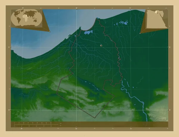
Al Buhayrah, governorate of Egypt. Colored elevation map with lakes and rivers. Locations of major cities of the region. Corner auxiliary location maps
Buhayrah Governorate Egypt Colored Elevation Map Lakes Rivers Locations Major — Stock Photo, Image
Potosi, department of Bolivia. Colored elevation map with lakes and rivers. Locations of major cities of the region. Corner auxiliary location maps
Potosi Department Bolivia Colored Elevation Map Lakes Rivers Locations Major — Stock Photo, Image
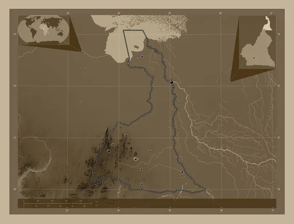
Extreme-Nord, region of Cameroon. Elevation map colored in sepia tones with lakes and rivers. Locations of major cities of the region. Corner auxiliary location maps
Extreme Nord Region Cameroon Elevation Map Colored Sepia Tones Lakes — Stock Photo, Image
Potosi, department of Bolivia. Colored elevation map with lakes and rivers. Corner auxiliary location maps
Potosi Department Bolivia Colored Elevation Map Lakes Rivers Corner Auxiliary — Stock Photo, Image
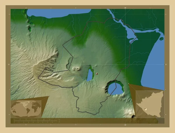
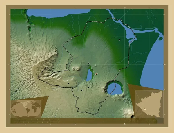
Masaya, department of Nicaragua. Colored elevation map with lakes and rivers. Corner auxiliary location maps
Masaya Department Nicaragua Colored Elevation Map Lakes Rivers Corner Auxiliary — Stock Photo, Image
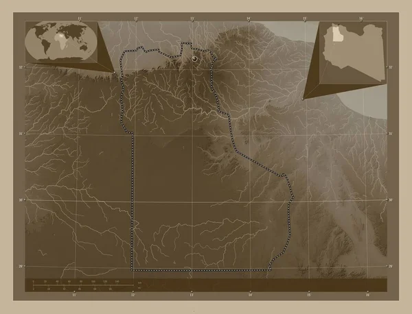
Al Jabal al Gharbi, district of Libya. Elevation map colored in sepia tones with lakes and rivers. Locations of major cities of the region. Corner auxiliary location maps
Jabal Gharbi District Libya Elevation Map Colored Sepia Tones Lakes — Stock Photo, Image
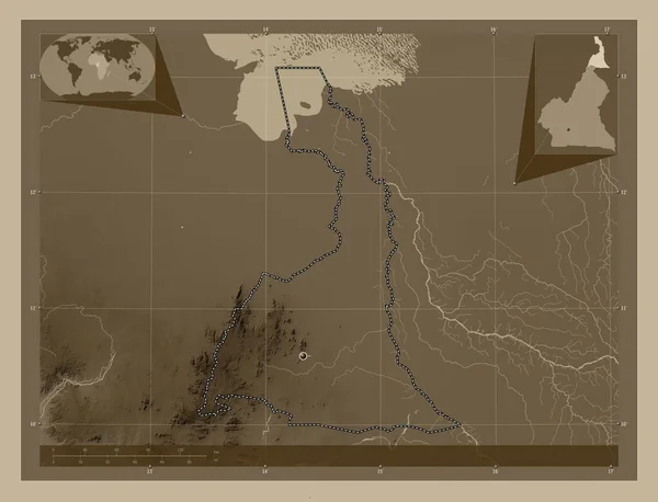
Extreme-Nord, region of Cameroon. Elevation map colored in sepia tones with lakes and rivers. Corner auxiliary location maps
Extreme Nord Region Cameroon Elevation Map Colored Sepia Tones Lakes — Stock Photo, Image
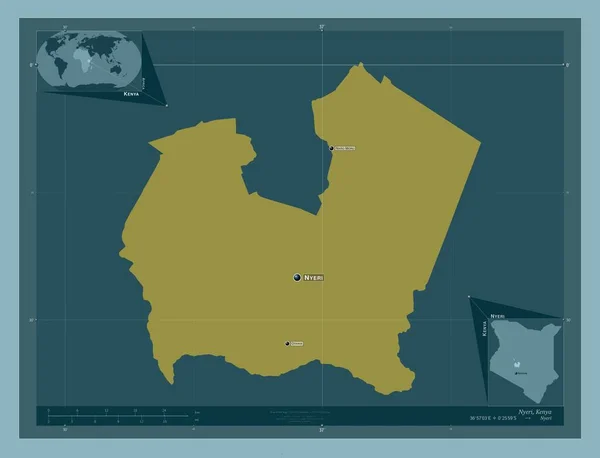
Nyeri, county of Kenya. Solid color shape. Locations and names of major cities of the region. Corner auxiliary location maps
Nyeri County Kenya Solid Color Shape Locations Names Major Cities — Stock Photo, Image
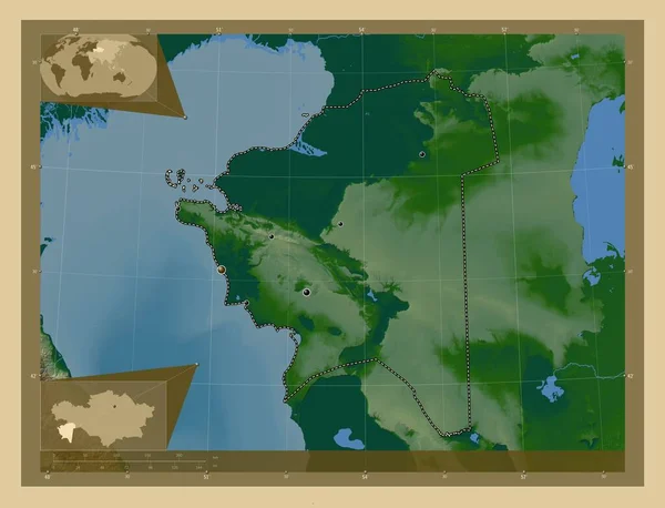
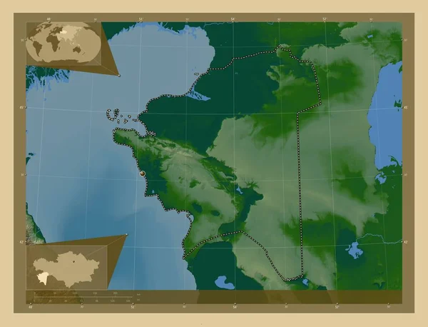
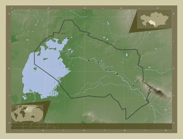
Mangghystau, region of Kazakhstan. Colored elevation map with lakes and rivers. Locations of major cities of the region. Corner auxiliary location maps
Mangghystau Region Kazakhstan Colored Elevation Map Lakes Rivers Locations Major — Stock Photo, Image
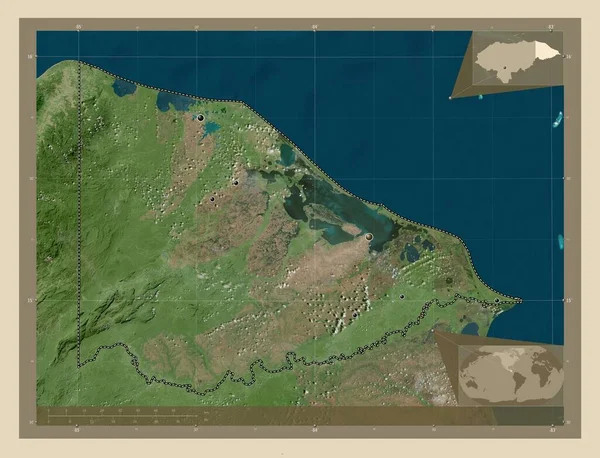
Gracias a Dios, department of Honduras. High resolution satellite map. Locations of major cities of the region. Corner auxiliary location maps
Gracias Dios Department Honduras High Resolution Satellite Map Locations Major — Stock Photo, Image
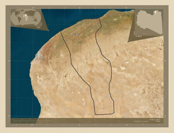
Al Marj, district of Libya. High resolution satellite map. Locations and names of major cities of the region. Corner auxiliary location maps
Marj District Libya High Resolution Satellite Map Locations Names Major — Stock Photo, Image
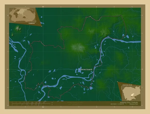
Kampong Cham, province of Cambodia. Colored elevation map with lakes and rivers. Locations and names of major cities of the region. Corner auxiliary location maps
Kampong Cham Province Cambodia Colored Elevation Map Lakes Rivers Locations — Stock Photo, Image
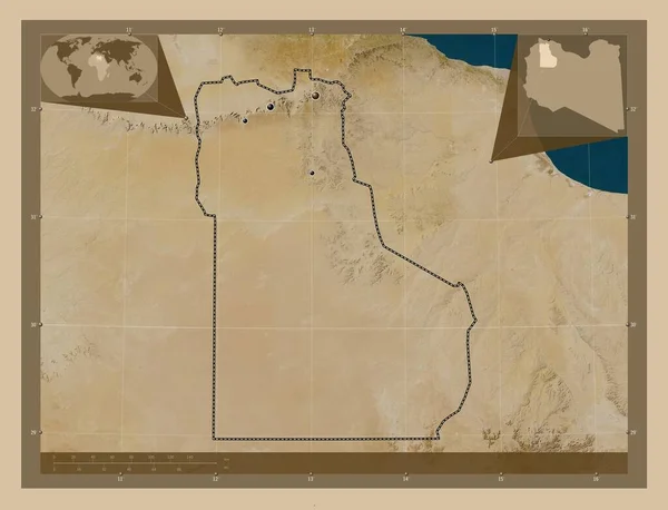
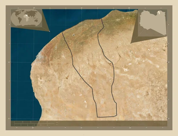
Al Jabal al Gharbi, district of Libya. Low resolution satellite map. Locations of major cities of the region. Corner auxiliary location maps
Jabal Gharbi District Libya Low Resolution Satellite Map Locations Major — Stock Photo, Image
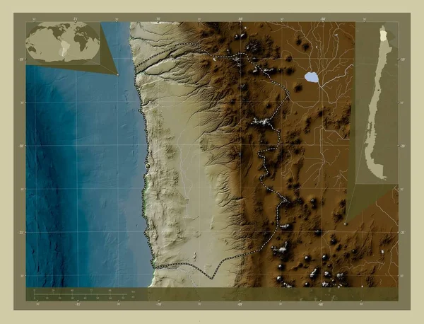
Tarapaca, region of Chile. Elevation map colored in wiki style with lakes and rivers. Corner auxiliary location maps
Tarapaca Region Chile Elevation Map Colored Wiki Style Lakes Rivers — Stock Photo, Image
Masaya, department of Nicaragua. Colored elevation map with lakes and rivers. Locations of major cities of the region. Corner auxiliary location maps
Masaya Department Nicaragua Colored Elevation Map Lakes Rivers Locations Major — Stock Photo, Image
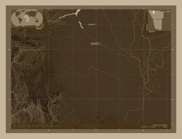
Omusati, region of Namibia. Elevation map colored in sepia tones with lakes and rivers. Locations and names of major cities of the region. Corner auxiliary location maps
Omusati Region Namibia Elevation Map Colored Sepia Tones Lakes Rivers — Stock Photo, Image
Al Minya, governorate of Egypt. Colored elevation map with lakes and rivers. Corner auxiliary location maps
Minya Governorate Egypt Colored Elevation Map Lakes Rivers Corner Auxiliary — Stock Photo, Image
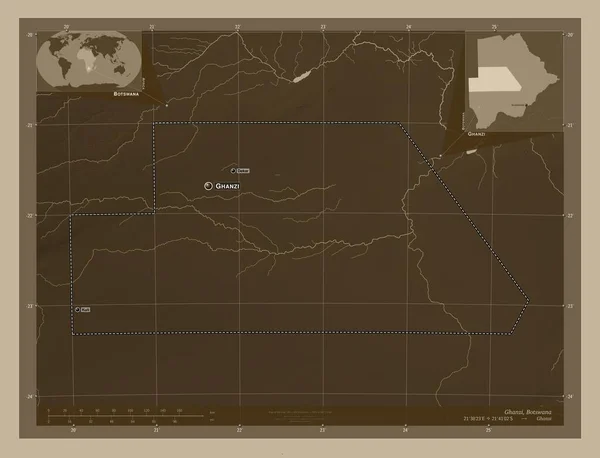
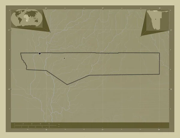
Ghanzi, district of Botswana. Elevation map colored in sepia tones with lakes and rivers. Locations and names of major cities of the region. Corner auxiliary location maps
Ghanzi District Botswana Elevation Map Colored Sepia Tones Lakes Rivers — Stock Photo, Image
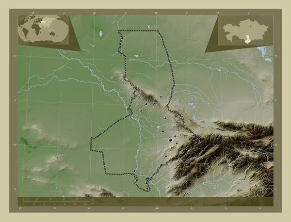
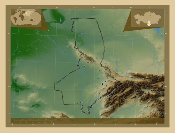
South Kazakhstan, region of Kazakhstan. Elevation map colored in wiki style with lakes and rivers. Locations of major cities of the region. Corner auxiliary location maps
South Kazakhstan Region Kazakhstan Elevation Map Colored Wiki Style Lakes — Stock Photo, Image
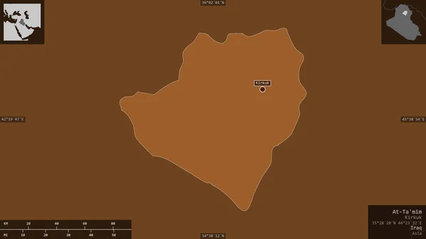
At-Ta'mim, province of Iraq. Patterned solids with lakes and rivers. Shape presented against its country area with informative overlays. 3D rendering
Mim Province Iraq Patterned Solids Lakes Rivers Shape Presented Its — Stock Photo, Image
Saint-Laurent-du-Maroni, arrondissement of French Guiana. Low resolution satellite map. Corner auxiliary location maps
Saint Laurent Maroni Arrondissement French Guiana Low Resolution Satellite Map — Stock Photo, Image
Tadjourah, region of Djibouti. Solid color shape. Locations and names of major cities of the region. Corner auxiliary location maps
Tadjourah Region Djibouti Solid Color Shape Locations Names Major Cities — Stock Photo, Image
Champasak, province of Laos. Colored elevation map with lakes and rivers. Corner auxiliary location maps
Champasak Province Laos Colored Elevation Map Lakes Rivers Corner Auxiliary — Stock Photo, Image
Saint-Laurent-du-Maroni, arrondissement of French Guiana. Low resolution satellite map. Locations of major cities of the region. Corner auxiliary location maps
Saint Laurent Maroni Arrondissement French Guiana Low Resolution Satellite Map — Stock Photo, Image
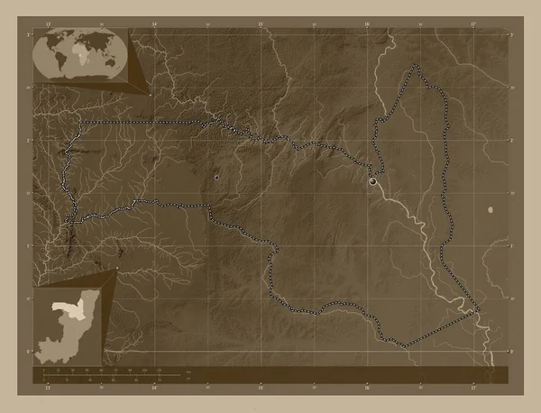
Sangha, region of Republic of Congo. Elevation map colored in sepia tones with lakes and rivers. Corner auxiliary location maps
Sangha Region Republic Congo Elevation Map Colored Sepia Tones Lakes — Stock Photo, Image
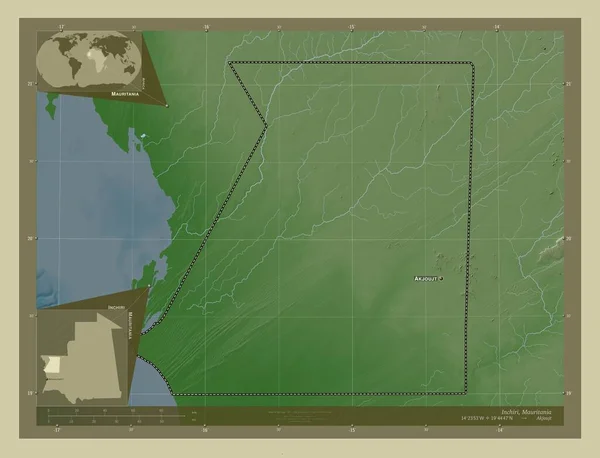
Inchiri, region of Mauritania. Elevation map colored in wiki style with lakes and rivers. Locations and names of major cities of the region. Corner auxiliary location maps
Inchiri Region Mauritania Elevation Map Colored Wiki Style Lakes Rivers — Stock Photo, Image
Mangghystau, region of Kazakhstan. Colored elevation map with lakes and rivers. Corner auxiliary location maps
Mangghystau Region Kazakhstan Colored Elevation Map Lakes Rivers Corner Auxiliary — Stock Photo, Image
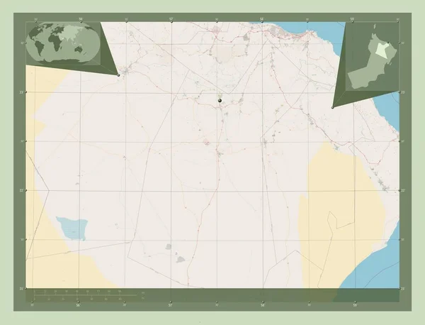
Ad Dakhliyah, region of Oman. Open Street Map. Corner auxiliary location maps
Dakhliyah Region Oman Open Street Map Corner Auxiliary Location Maps — Stock Photo, Image
Sangha, region of Republic of Congo. Elevation map colored in sepia tones with lakes and rivers. Locations of major cities of the region. Corner auxiliary location maps
Sangha Region Republic Congo Elevation Map Colored Sepia Tones Lakes — Stock Photo, Image
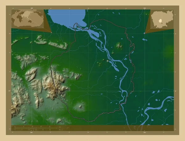
Kampong Chhnang, province of Cambodia. Colored elevation map with lakes and rivers. Locations and names of major cities of the region. Corner auxiliary location maps
Kampong Chhnang Province Cambodia Colored Elevation Map Lakes Rivers Locations — Stock Photo, Image
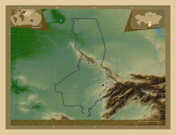
South Kazakhstan, region of Kazakhstan. Colored elevation map with lakes and rivers. Locations of major cities of the region. Corner auxiliary location maps
South Kazakhstan Region Kazakhstan Colored Elevation Map Lakes Rivers Locations — Stock Photo, Image
Rajshahi, division of Bangladesh. Elevation map colored in wiki style with lakes and rivers. Corner auxiliary location maps
Rajshahi Division Bangladesh Elevation Map Colored Wiki Style Lakes Rivers — Stock Photo, Image
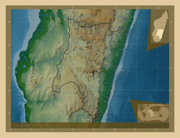
Fianarantsoa, autonomous province of Madagascar. Colored elevation map with lakes and rivers. Locations of major cities of the region. Corner auxiliary location maps
Fianarantsoa Autonomous Province Madagascar Colored Elevation Map Lakes Rivers Locations — Stock Photo, Image
Eastern, region of Zambia. Low resolution satellite map. Corner auxiliary location maps
Eastern Region Zambia Low Resolution Satellite Map Corner Auxiliary Location — Stock Photo, Image
Eastern, region of Zambia. Low resolution satellite map. Locations of major cities of the region. Corner auxiliary location maps
Eastern Region Zambia Low Resolution Satellite Map Locations Major Cities — Stock Photo, Image
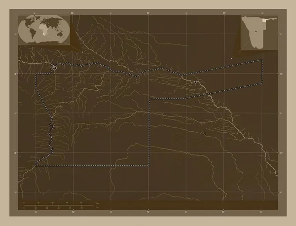
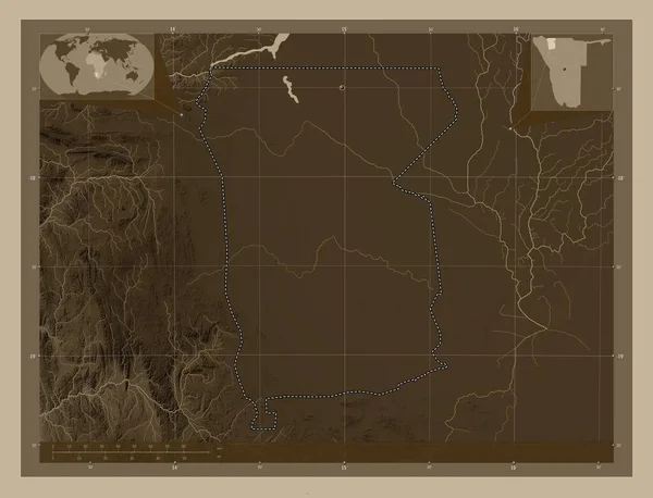
Omusati, region of Namibia. Elevation map colored in sepia tones with lakes and rivers. Corner auxiliary location maps
Omusati Region Namibia Elevation Map Colored Sepia Tones Lakes Rivers — Stock Photo, Image
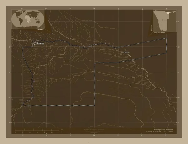
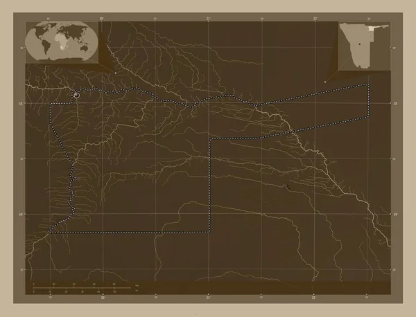
Kavango East, region of Namibia. Elevation map colored in sepia tones with lakes and rivers. Locations and names of major cities of the region. Corner auxiliary location maps
Kavango East Region Namibia Elevation Map Colored Sepia Tones Lakes — Stock Photo, Image
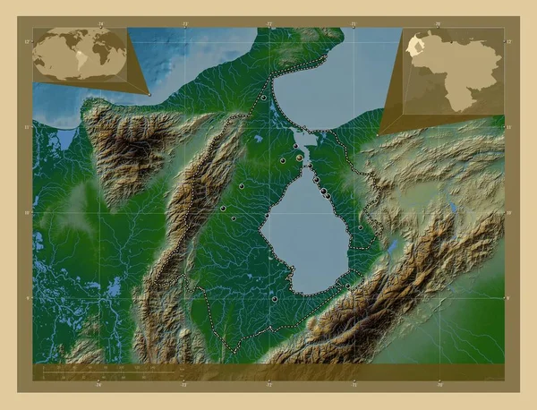
Zulia, state of Venezuela. Colored elevation map with lakes and rivers. Locations of major cities of the region. Corner auxiliary location maps
Zulia State Venezuela Colored Elevation Map Lakes Rivers Locations Major — Stock Photo, Image
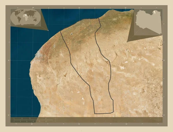
Al Jabal al Gharbi, district of Libya. Low resolution satellite map. Corner auxiliary location maps
Jabal Gharbi District Libya Low Resolution Satellite Map Corner Auxiliary — Stock Photo, Image
Ancient egypt background.Egyptian hieroglyph and symbolAncient culture sing and symbol.Anubis. Ra. Tutankamon
Ancient Egypt Background Egyptian Hieroglyph Symbolancient Culture Sing Symbol Anubis — Stock Photo, Image
Ghanzi, district of Botswana. Elevation map colored in sepia tones with lakes and rivers. Locations of major cities of the region. Corner auxiliary location maps
Ghanzi District Botswana Elevation Map Colored Sepia Tones Lakes Rivers — Stock Photo, Image
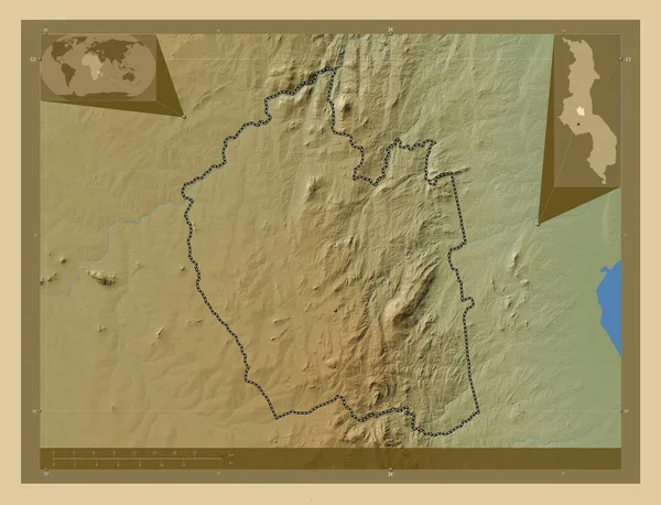
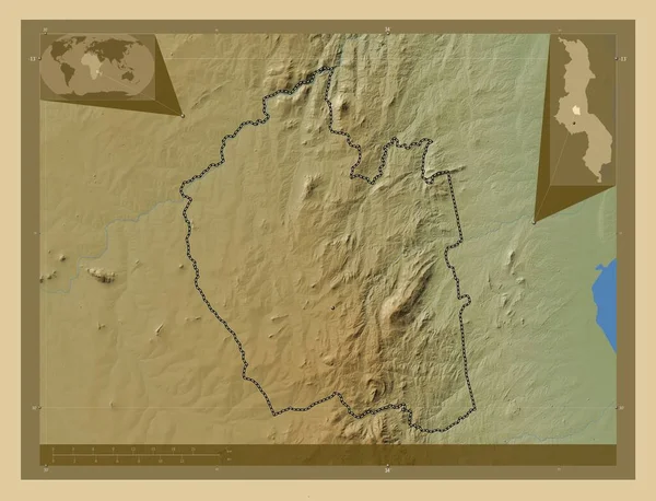
Ntchisi, district of Malawi. Colored elevation map with lakes and rivers. Locations of major cities of the region. Corner auxiliary location maps
Ntchisi District Malawi Colored Elevation Map Lakes Rivers Locations Major — Stock Photo, Image
Al Buhayrah, governorate of Egypt. Colored elevation map with lakes and rivers. Corner auxiliary location maps
Buhayrah Governorate Egypt Colored Elevation Map Lakes Rivers Corner Auxiliary — Stock Photo, Image
Kavango East, region of Namibia. Elevation map colored in sepia tones with lakes and rivers. Locations of major cities of the region. Corner auxiliary location maps
Kavango East Region Namibia Elevation Map Colored Sepia Tones Lakes — Stock Photo, Image
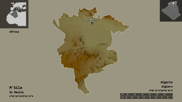
Shape of M'Sila, province of Algeria, and its capital. Distance scale, previews and labels. Topographic relief map. 3D rendering
Shape Sila Province Algeria Its Capital Distance Scale Previews Labels — Stock Photo, Image
Ohangwena, region of Namibia. Elevation map colored in wiki style with lakes and rivers. Locations of major cities of the region. Corner auxiliary location maps
Ohangwena Region Namibia Elevation Map Colored Wiki Style Lakes Rivers — Stock Photo, Image
South Kazakhstan, region of Kazakhstan. Colored elevation map with lakes and rivers. Locations and names of major cities of the region. Corner auxiliary location maps
South Kazakhstan Region Kazakhstan Colored Elevation Map Lakes Rivers Locations — Stock Photo, Image
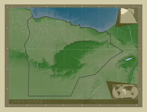
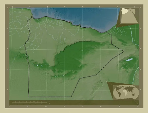
Matrouh, governorate of Egypt. Elevation map colored in wiki style with lakes and rivers. Locations of major cities of the region. Corner auxiliary location maps
Matrouh Governorate Egypt Elevation Map Colored Wiki Style Lakes Rivers — Stock Photo, Image
Shape of Aswan, governorate of Egypt, and its capital. Distance scale, previews and labels. Composition of patterned textures. 3D rendering
Shape Aswan Governorate Egypt Its Capital Distance Scale Previews Labels — Stock Photo, Image
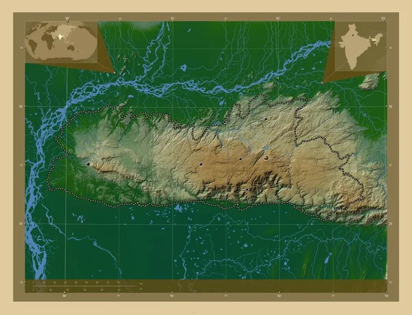
Meghalaya, state of India. Colored elevation map with lakes and rivers. Locations of major cities of the region. Corner auxiliary location maps
Meghalaya State India Colored Elevation Map Lakes Rivers Locations Major — Stock Photo, Image
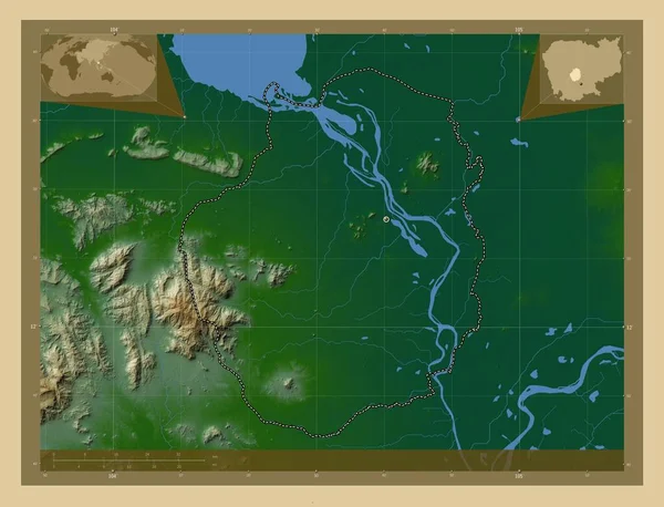
Kampong Chhnang, province of Cambodia. Colored elevation map with lakes and rivers. Corner auxiliary location maps
Kampong Chhnang Province Cambodia Colored Elevation Map Lakes Rivers Corner — Stock Photo, Image
Kampong Chhnang, province of Cambodia. Colored elevation map with lakes and rivers. Locations of major cities of the region. Corner auxiliary location maps
Kampong Chhnang Province Cambodia Colored Elevation Map Lakes Rivers Locations — Stock Photo, Image
Qyzylorda, region of Kazakhstan. Elevation map colored in wiki style with lakes and rivers. Locations of major cities of the region. Corner auxiliary location maps
Qyzylorda Region Kazakhstan Elevation Map Colored Wiki Style Lakes Rivers — Stock Photo, Image
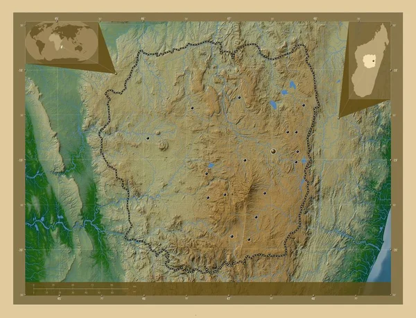
Antananarivo, autonomous province of Madagascar. Colored elevation map with lakes and rivers. Locations of major cities of the region. Corner auxiliary location maps
Antananarivo Autonomous Province Madagascar Colored Elevation Map Lakes Rivers Locations — Stock Photo, Image
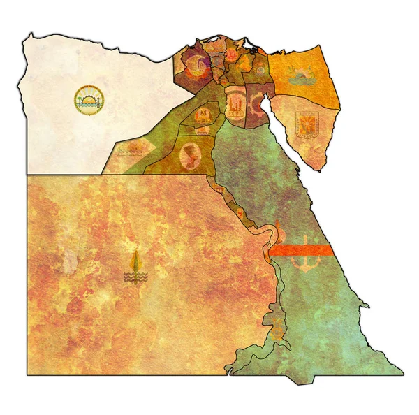
Flag of Matrouh on map of Egypt Governorates
Flag of Matrouh on map of Egypt Governorates — Stock Photo, Image
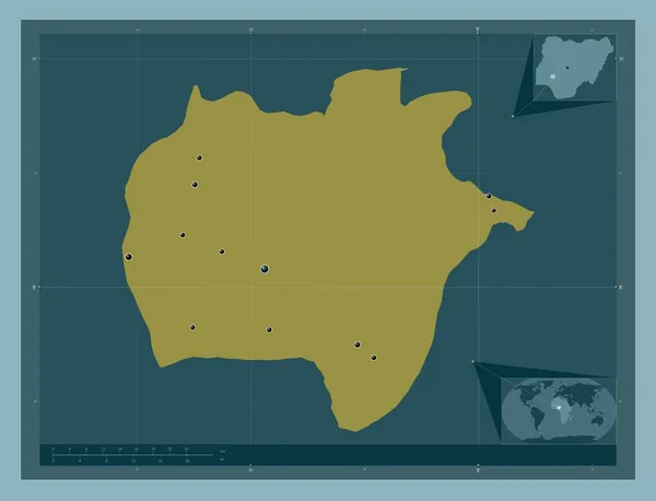
Ekiti, state of Nigeria. Solid color shape. Locations of major cities of the region. Corner auxiliary location maps
Ekiti State Nigeria Solid Color Shape Locations Major Cities Region — Stock Photo, Image
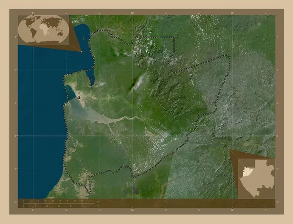
Estuaire, province of Gabon. Low resolution satellite map. Corner auxiliary location maps
Estuaire Province Gabon Low Resolution Satellite Map Corner Auxiliary Location — Stock Photo, Image
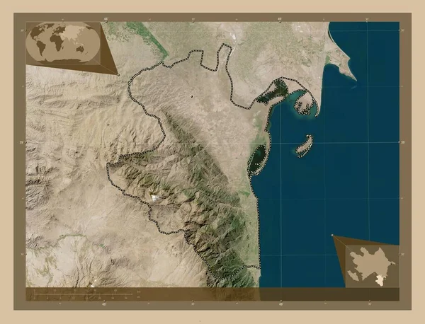
Lankaran, region of Azerbaijan. Low resolution satellite map. Corner auxiliary location maps
Lankaran Region Azerbaijan Low Resolution Satellite Map Corner Auxiliary Location — Stock Photo, Image
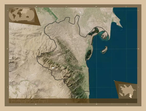
Lankaran, region of Azerbaijan. Low resolution satellite map. Locations of major cities of the region. Corner auxiliary location maps
Lankaran Region Azerbaijan Low Resolution Satellite Map Locations Major Cities — Stock Photo, Image
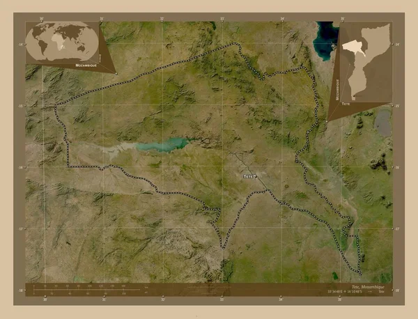
Tete, province of Mozambique. Low resolution satellite map. Locations and names of major cities of the region. Corner auxiliary location maps
Tete Province Mozambique Low Resolution Satellite Map Locations Names Major — Stock Photo, Image
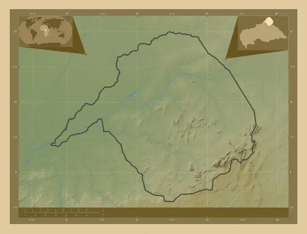
Vakaga, prefecture of Central African Republic. Colored elevation map with lakes and rivers. Locations of major cities of the region. Corner auxiliary location maps
Vakaga Prefecture Central African Republic Colored Elevation Map Lakes Rivers — Stock Photo, Image
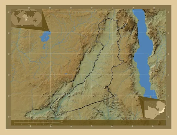
Eastern, region of Zambia. Colored elevation map with lakes and rivers. Corner auxiliary location maps
Eastern Region Zambia Colored Elevation Map Lakes Rivers Corner Auxiliary — Stock Photo, Image
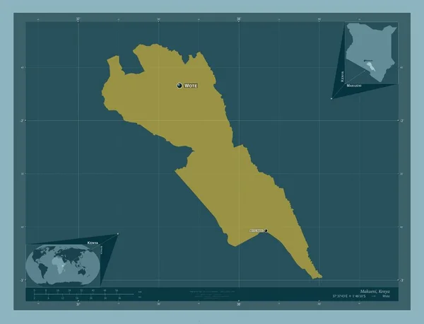
Makueni, county of Kenya. Solid color shape. Locations and names of major cities of the region. Corner auxiliary location maps
Makueni County Kenya Solid Color Shape Locations Names Major Cities — Stock Photo, Image
Homa Bay, county of Kenya. Low resolution satellite map. Locations of major cities of the region. Corner auxiliary location maps
Homa Bay County Kenya Low Resolution Satellite Map Locations Major — Stock Photo, Image
Ancient Egypt grunge wallpaper
Ancient Egypt grunge wallpaper — Stock Photo, Image
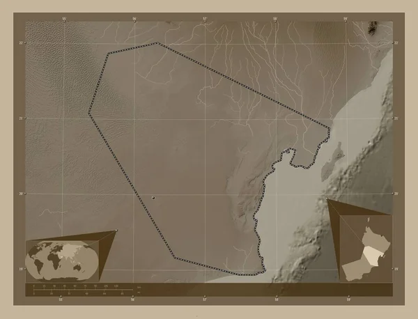
Al Wusta, region of Oman. Elevation map colored in sepia tones with lakes and rivers. Locations of major cities of the region. Corner auxiliary location maps
Wusta Region Oman Elevation Map Colored Sepia Tones Lakes Rivers — Stock Photo, Image
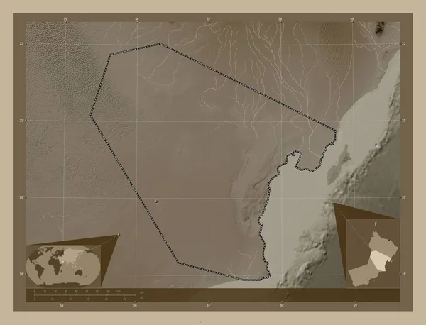
Al Wusta, region of Oman. Elevation map colored in sepia tones with lakes and rivers. Corner auxiliary location maps
Wusta Region Oman Elevation Map Colored Sepia Tones Lakes Rivers — Stock Photo, Image
Ancient egypt background.Egyptian hieroglyph and symbolAncient culture sing and symbol.Anubis. Ra. Tutankamon
Ancient Egypt Background Egyptian Hieroglyph Symbolancient Culture Sing Symbol Anubis — Stock Photo, Image
Sichuan, province of China. Colored elevation map with lakes and rivers. Corner auxiliary location maps
Sichuan Province China Colored Elevation Map Lakes Rivers Corner Auxiliary — Stock Photo, Image
Al Butnan, district of Libya. Elevation map colored in wiki style with lakes and rivers. Corner auxiliary location maps
Butnan District Libya Elevation Map Colored Wiki Style Lakes Rivers — Stock Photo, Image
HaDarom, district of Israel. Colored elevation map with lakes and rivers. Locations of major cities of the region. Corner auxiliary location maps
Hadarom District Israel Colored Elevation Map Lakes Rivers Locations Major — Stock Photo, Image
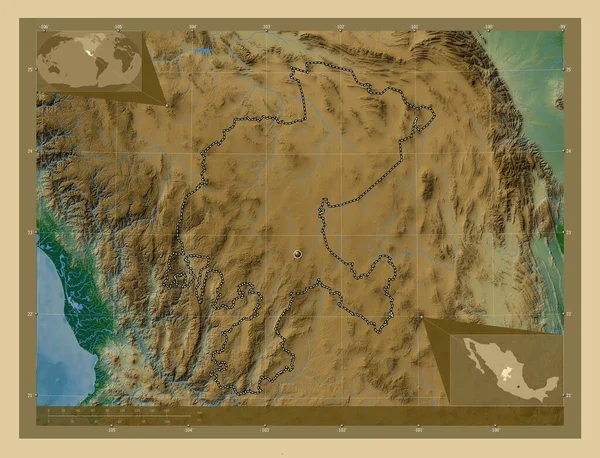
Zacatecas, state of Mexico. Colored elevation map with lakes and rivers. Corner auxiliary location maps
Zacatecas State Mexico Colored Elevation Map Lakes Rivers Corner Auxiliary — Stock Photo, Image
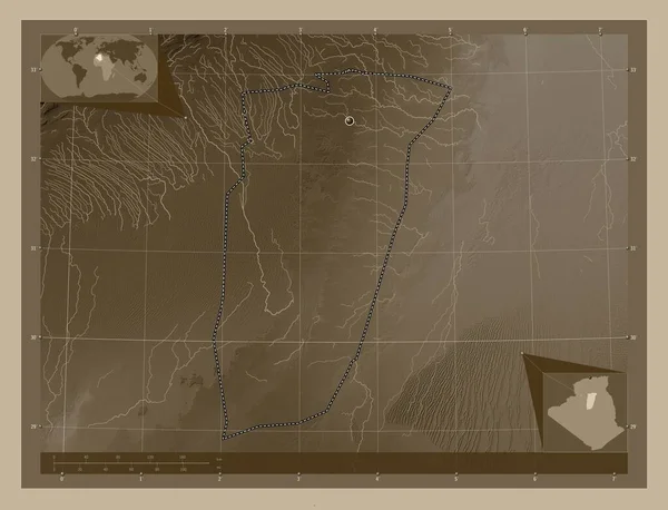
Ghardaia, province of Algeria. Elevation map colored in sepia tones with lakes and rivers. Corner auxiliary location maps
Ghardaia Province Algeria Elevation Map Colored Sepia Tones Lakes Rivers — Stock Photo, Image
Al Marj, district of Libya. High resolution satellite map. Corner auxiliary location maps
Marj District Libya High Resolution Satellite Map Corner Auxiliary Location — Stock Photo, Image
Al Marj, district of Libya. High resolution satellite map. Locations of major cities of the region. Corner auxiliary location maps
Marj District Libya High Resolution Satellite Map Locations Major Cities — Stock Photo, Image
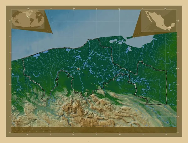
Tabasco, state of Mexico. Colored elevation map with lakes and rivers. Corner auxiliary location maps
Tabasco State Mexico Colored Elevation Map Lakes Rivers Corner Auxiliary — Stock Photo, Image
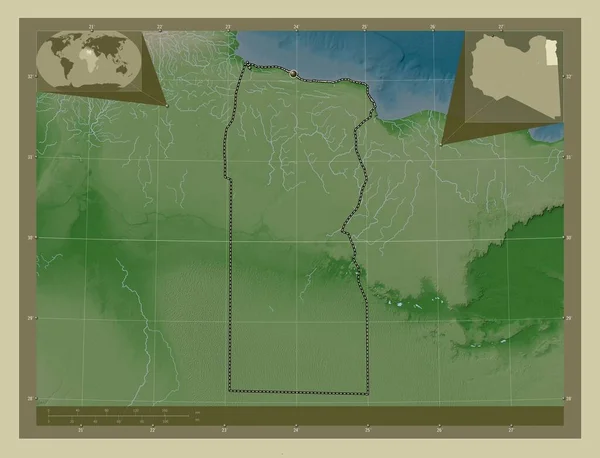
Matrouh, governorate of Egypt. Elevation map colored in wiki style with lakes and rivers. Corner auxiliary location maps
Matrouh Governorate Egypt Elevation Map Colored Wiki Style Lakes Rivers — Stock Photo, Image
Ntchisi, district of Malawi. Colored elevation map with lakes and rivers. Corner auxiliary location maps
Ntchisi District Malawi Colored Elevation Map Lakes Rivers Corner Auxiliary — Stock Photo, Image
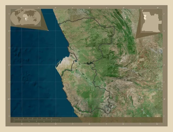
Bengo, province of Angola. High resolution satellite map. Corner auxiliary location maps
Bengo Province Angola High Resolution Satellite Map Corner Auxiliary Location — Stock Photo, Image
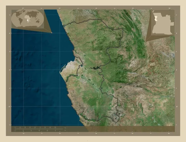
Bengo, province of Angola. High resolution satellite map. Locations of major cities of the region. Corner auxiliary location maps
Bengo Province Angola High Resolution Satellite Map Locations Major Cities — Stock Photo, Image
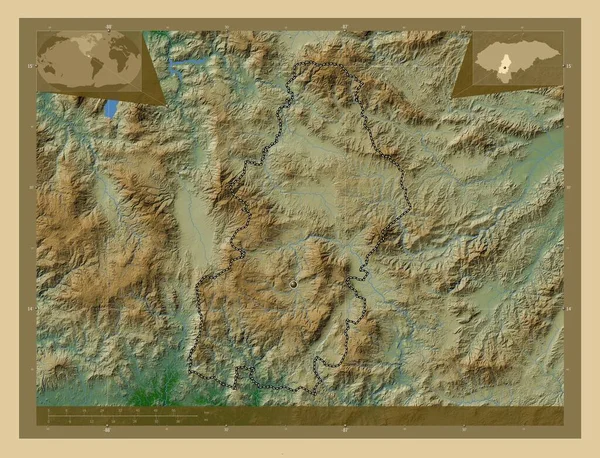
Francisco Morazan, department of Honduras. Colored elevation map with lakes and rivers. Corner auxiliary location maps
Francisco Morazan Department Honduras Colored Elevation Map Lakes Rivers Corner — Stock Photo, Image
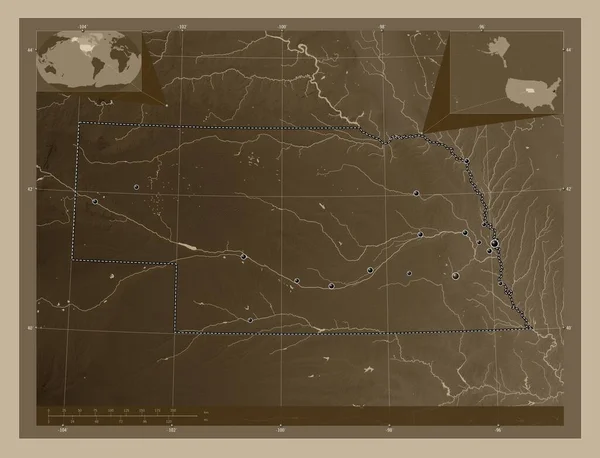
Nebraska, state of United States of America. Elevation map colored in sepia tones with lakes and rivers. Locations of major cities of the region. Corner auxiliary location maps
Nebraska State United States America Elevation Map Colored Sepia Tones — Stock Photo, Image
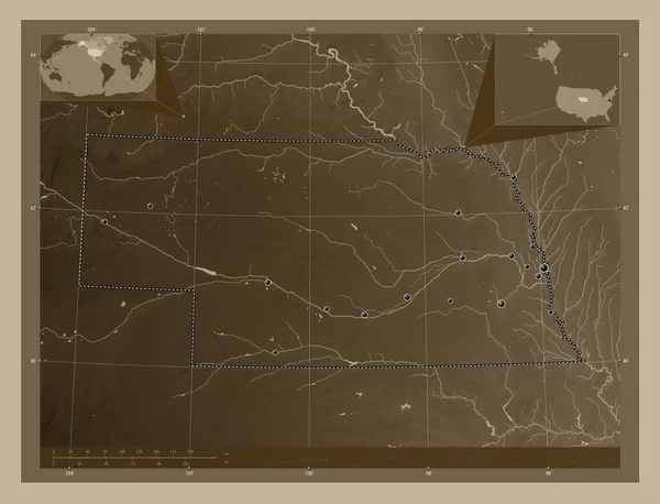
Nebraska, state of United States of America. Elevation map colored in sepia tones with lakes and rivers. Locations of major cities of the region. Corner auxiliary location maps
Nebraska State United States America Elevation Map Colored Sepia Tones — Stock Photo, Image
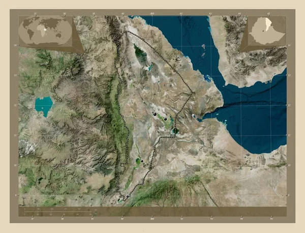
Afar, state of Ethiopia. High resolution satellite map. Locations of major cities of the region. Corner auxiliary location maps
Afar State Ethiopia High Resolution Satellite Map Locations Major Cities — Stock Photo, Image
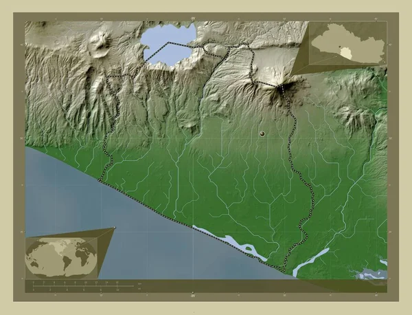
La Paz, department of El Salvador. Elevation map colored in wiki style with lakes and rivers. Corner auxiliary location maps
Paz Department Salvador Elevation Map Colored Wiki Style Lakes Rivers — Stock Photo, Image
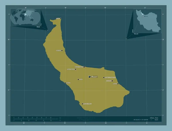
Gilan, province of Iran. Solid color shape. Locations and names of major cities of the region. Corner auxiliary location maps
Gilan Province Iran Solid Color Shape Locations Names Major Cities — Stock Photo, Image
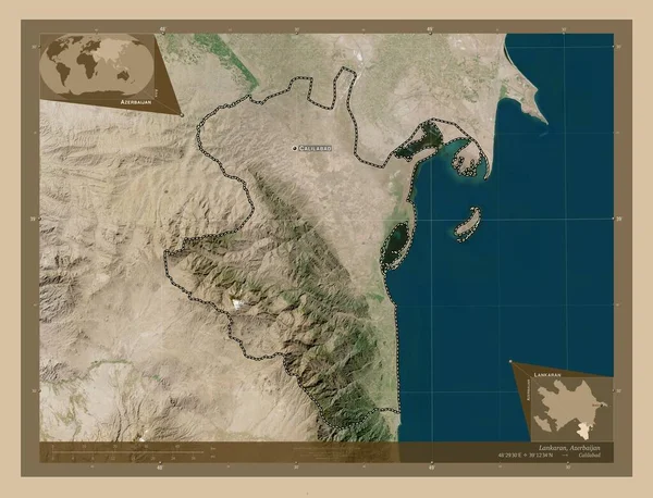
Lankaran, region of Azerbaijan. Low resolution satellite map. Locations and names of major cities of the region. Corner auxiliary location maps
Lankaran Region Azerbaijan Low Resolution Satellite Map Locations Names Major — Stock Photo, Image
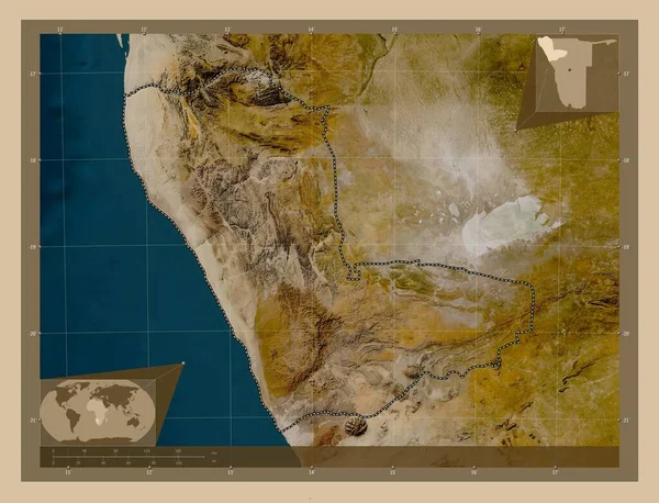
Kunene, region of Namibia. Low resolution satellite map. Corner auxiliary location maps
Kunene Region Namibia Low Resolution Satellite Map Corner Auxiliary Location — Stock Photo, Image
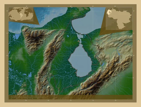
Zulia, state of Venezuela. Colored elevation map with lakes and rivers. Corner auxiliary location maps
Zulia State Venezuela Colored Elevation Map Lakes Rivers Corner Auxiliary — Stock Photo, Image
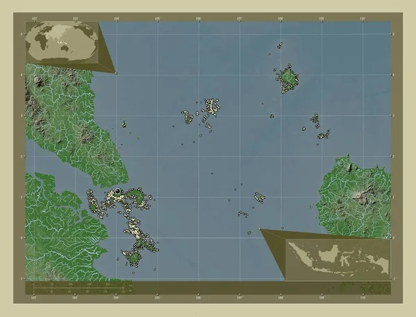
Kepulauan Riau, province of Indonesia. Elevation map colored in wiki style with lakes and rivers. Locations of major cities of the region. Corner auxiliary location maps
Kepulauan Riau Province Indonesia Elevation Map Colored Wiki Style Lakes — Stock Photo, Image
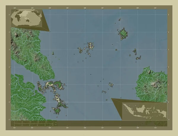
Kepulauan Riau, province of Indonesia. Elevation map colored in wiki style with lakes and rivers. Corner auxiliary location maps
Kepulauan Riau Province Indonesia Elevation Map Colored Wiki Style Lakes — Stock Photo, Image
Lac, region of Chad. Colored elevation map with lakes and rivers. Corner auxiliary location maps
Lac Region Chad Colored Elevation Map Lakes Rivers Corner Auxiliary — Stock Photo, Image
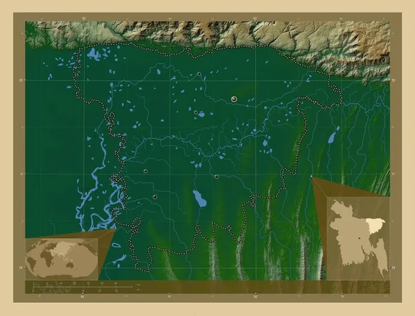
Sylhet, division of Bangladesh. Colored elevation map with lakes and rivers. Locations of major cities of the region. Corner auxiliary location maps
Sylhet Division Bangladesh Colored Elevation Map Lakes Rivers Locations Major — Stock Photo, Image
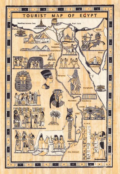
Tourist map of egypt painted on papyrus
Tourist map of egypt painted on papyrus — Stock Photo, Image
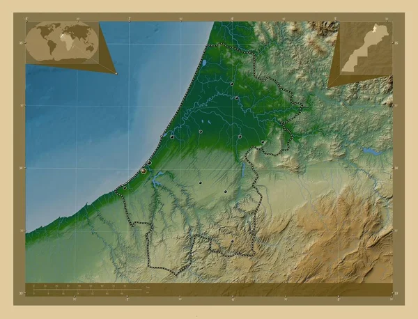
Rabat-Sale-Kenitra, region of Morocco. Colored elevation map with lakes and rivers. Locations of major cities of the region. Corner auxiliary location maps
Rabat Sale Kenitra Region Morocco Colored Elevation Map Lakes Rivers — Stock Photo, Image
Al Minya, governorate of Egypt. Colored elevation map with lakes and rivers. Locations of major cities of the region. Corner auxiliary location maps
Minya Governorate Egypt Colored Elevation Map Lakes Rivers Locations Major — Stock Photo, Image
Kavango East, region of Namibia. Elevation map colored in sepia tones with lakes and rivers. Corner auxiliary location maps
Kavango East Region Namibia Elevation Map Colored Sepia Tones Lakes — Stock Photo, Image
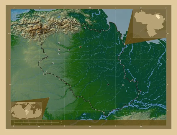
Monagas, state of Venezuela. Colored elevation map with lakes and rivers. Locations of major cities of the region. Corner auxiliary location maps
Monagas State Venezuela Colored Elevation Map Lakes Rivers Locations Major — Stock Photo, Image

Discover Ancient Egypt with Stunning Map Images

Are you looking to add a touch of ancient history to your projects? Our collection of stock images featuring ancient Egypt map images is exactly what you need. With a wide selection of high-quality images available in JPG, AI, and EPS formats, you can use them for a variety of purposes, whether it's educational materials, travel brochures, or website design. Let's explore the fascinating world of ancient Egypt through these captivating visuals.

Ancient Egypt Map Images: Bringing History to Life

Our ancient Egypt map images offer a unique window into the past, allowing you to immerse yourself in this captivating civilization. These images provide a detailed view of the ancient Egyptian kingdom's geography, including landmarks, cities, and the mighty Nile River. Through vibrant colors and intricate artwork, you can visualize the civilization's rich history and understand its impact on the world.

These map images serve as valuable resources for educational projects and presentations. Teachers and students alike can use them to enhance their lessons on ancient Egypt, providing a visual representation of the Pharaohs' reign, ancient temples, and significant archaeological sites. By incorporating these images into your educational materials, you can engage your audience and make learning about ancient Egypt an unforgettable experience.

Unleash Your Creativity with Versatile Image Formats

Our ancient Egypt map images are available in three versatile formats: JPG, AI, and EPS. JPG images are ideal for web design and online publications, ensuring quick loading times without compromising quality. AI and EPS formats, on the other hand, provide scalability and flexibility, making them perfect for print materials such as brochures, posters, and exhibition displays.

Whether you're designing an interactive website or creating a visually stunning poster, these different file formats allow you to adapt the images to your specific project requirements. You can resize, crop, and edit the images without losing their sharpness, enabling you to achieve the desired visual impact. With our diverse collection of ancient Egypt map images, you have the freedom to let your creativity run wild.

Tips for Choosing and Using Ancient Egypt Map Images

When selecting and utilizing ancient Egypt map images for your projects, it's essential to consider a few key factors. First, think about the purpose and target audience of your project. Are you creating a historical textbook for students or designing an immersive virtual tour? Understanding your project's goals will help you choose the most suitable images that effectively communicate your message.

Additionally, pay attention to the style and visual consistency of the images. While ancient Egypt map images offer a wide range of artistic representations, it's important to ensure that the chosen visuals complement the overall aesthetic of your project. Consistency in style and tone will enhance the professionalism and credibility of your work.

Lastly, consider the resolution and quality of the images. High-resolution images are crucial for print materials to ensure sharpness and detail, while web design projects may require smaller file sizes for optimal loading speed. Select images that strike the right balance between size and quality to maintain a visually appealing experience for your audience.

Unlock the Mysteries of Ancient Egypt Today

Don't miss out on the opportunity to enrich your projects with the allure of ancient Egypt. Our collection of stock images featuring detailed ancient Egypt maps is your key to unlocking the mysteries of this captivating civilization. With different file formats and a vast variety of visuals to choose from, you can find the perfect images for your next project. Explore our collection now and let the wonders of ancient Egypt inspire your creativity.