Belarus map Stock Photos

100,000 Belarus map pictures are available under a royalty-free license

  • Best Match
  • Fresh
  • Popular
1-100 of 100,000
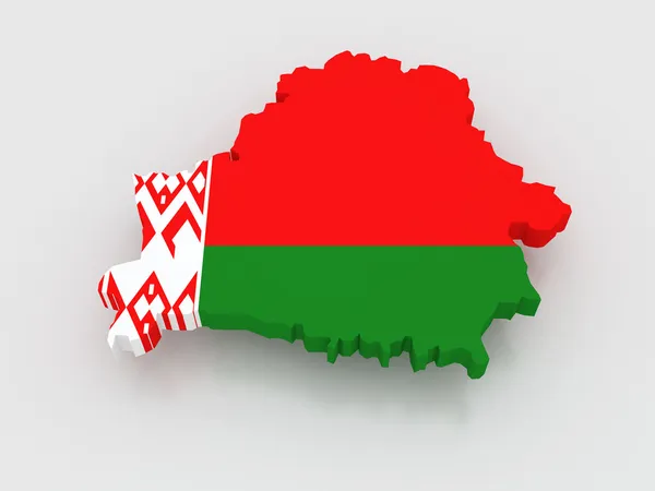
Three-dimensional map of Belarus.
Three-dimensional map of Belarus. — Stock Photo, Image
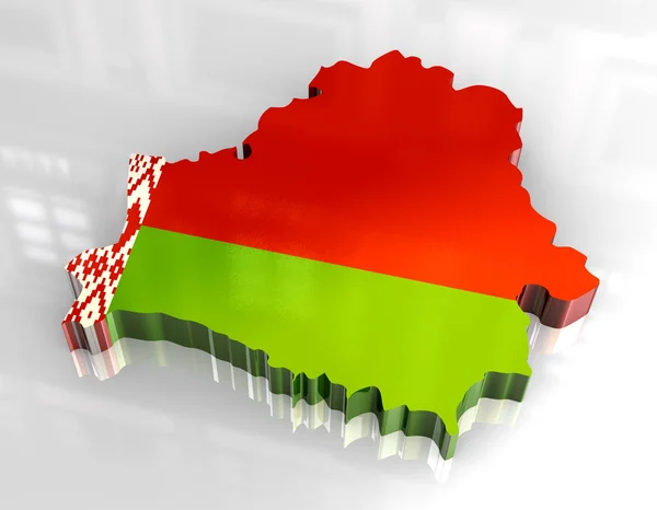
3d flag map of belarus
3d flag map of belarus — Stock Photo, Image
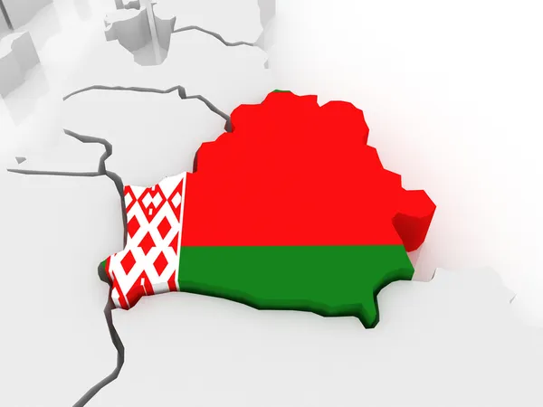
Map of Europe and Belarus.
Map of Europe and Belarus. — Stock Photo, Image
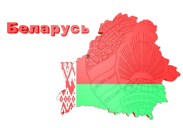
Map illustration of Belarus
Map illustration of Belarus — Stock Photo, Image
Map of Belarus filled with flag
Map of Belarus filled with flag — Stock Photo, Image
Belarus map
Belarus map — Stock Photo, Image
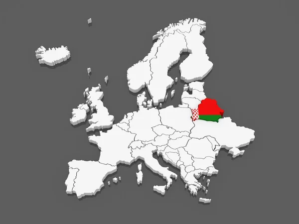
3D map Europe with flag Belarus
3D map Europe with flag Belarus — Stock Photo, Image
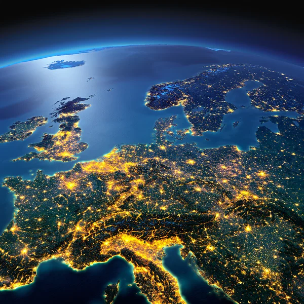
Detailed Earth. Central Europe on a moonlit night
Detailed Earth. Central Europe on a moonlit night — Stock Photo, Image
Map of Europe and Belarus.
Map of Europe and Belarus. — Stock Photo, Image
Vintage paper map of Belarus
Vintage paper map of Belarus — Stock Photo, Image
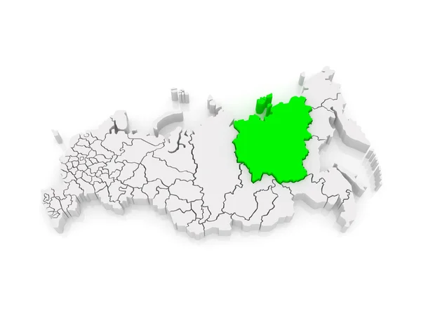
Map of the Russian Federation. Republic of Sakha (Yakutia).
Map of the Russian Federation. Republic of Sakha (Yakutia). — Stock Photo, Image
Map of the Russian Federation. Krasnoyarsk Territory.
Map of the Russian Federation. Krasnoyarsk Territory. — Stock Photo, Image
Map of Moravian. Czech Republic.
Map of Moravian. Czech Republic. — Stock Photo, Image
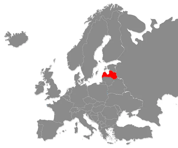
Map of Latvia highligted with red in Europe map. 3d rendering
Map Latvia Highligted Red Europe Map Rendering — Stock Photo, Image
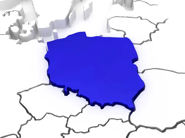
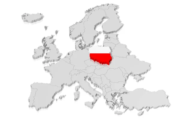
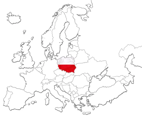
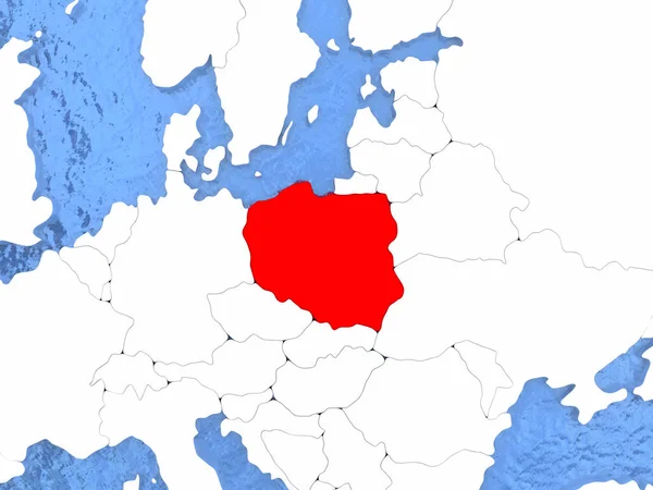
Map of Europe and Poland.
Map of Europe and Poland. — Stock Photo, Image
Map of the Russian Federation. Altai Republic.
Map of the Russian Federation. Altai Republic. — Stock Photo, Image
Map of the Russian Federation. Khanty-Mansi Autonomous Okrug - Y
Map of the Russian Federation. Khanty-Mansi Autonomous Okrug - Y — Stock Photo, Image
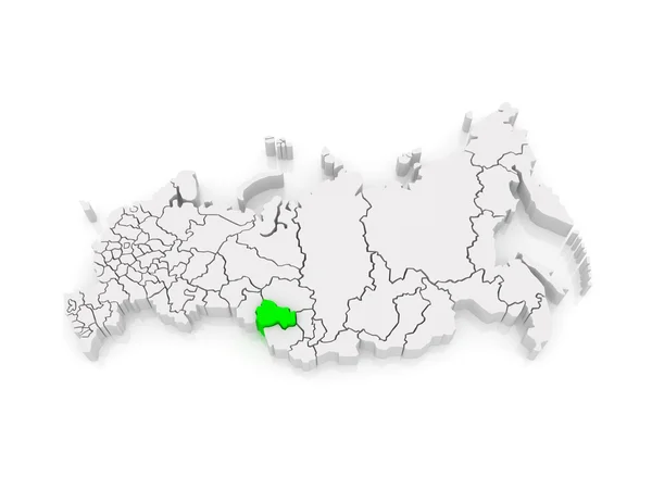
Map of the Russian Federation. Novosibirsk region.
Map of the Russian Federation. Novosibirsk region. — Stock Photo, Image
Map of the Russian Federation. Irkutsk region.
Map of the Russian Federation. Irkutsk region. — Stock Photo, Image
Map of the Russian Federation. Stavropol region.
Map of the Russian Federation. Stavropol region. — Stock Photo, Image
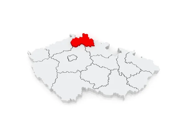
Map of Liberec. Czech Republic.
Map of Liberec. Czech Republic. — Stock Photo, Image
Colombia map with gray tone on white background,illustration,textured , Symbols of Colombia
Colombia Map Gray Tone White Background Illustration Textured Symbols Colombia — Stock Photo, Image
Map of the Russian Federation. Nenets Autonomous Okrug.
Map of the Russian Federation. Nenets Autonomous Okrug. — Stock Photo, Image
Kiev Oblast red highlighted in map of the Ukraine
Kiev Oblast red highlighted in map of the Ukraine — Stock Photo, Image
Map of the Russian Federation. Irkutsk region.
Map of the Russian Federation. Irkutsk region. — Stock Photo, Image
Map of the Russian Federation. Altai Krai.
Map of the Russian Federation. Altai Krai. — Stock Photo, Image
Map of Mecklenburg-Western Pomerania. Germany.
Map of Mecklenburg-Western Pomerania. Germany. — Stock Photo, Image
Map of the Russian Federation. Republic of Buryatia.
Map of the Russian Federation. Republic of Buryatia. — Stock Photo, Image
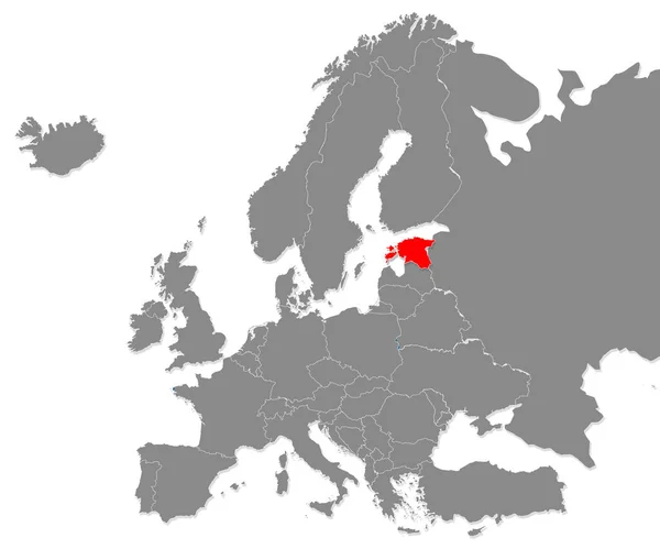
Map of Estonia highligted with red in Europe map. 3d rendering
Map Estonia Highligted Red Europe Map Rendering — Stock Photo, Image
Map of Belarus
Map of Belarus — Stock Photo, Image
Map of the Russian Federation. Kirov region.
Map of the Russian Federation. Kirov region. — Stock Photo, Image
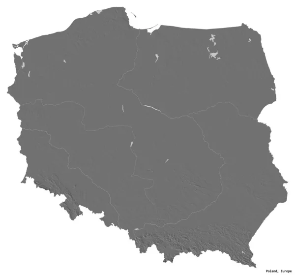
Shape of Poland with its capital isolated on white background. Bilevel elevation map. 3D rendering
Shape Poland Its Capital Isolated White Background Bilevel Elevation Map — Stock Photo, Image
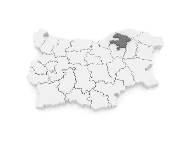
Map of Razgrad region. Bulgaria.
Map of Razgrad region. Bulgaria. — Stock Photo, Image
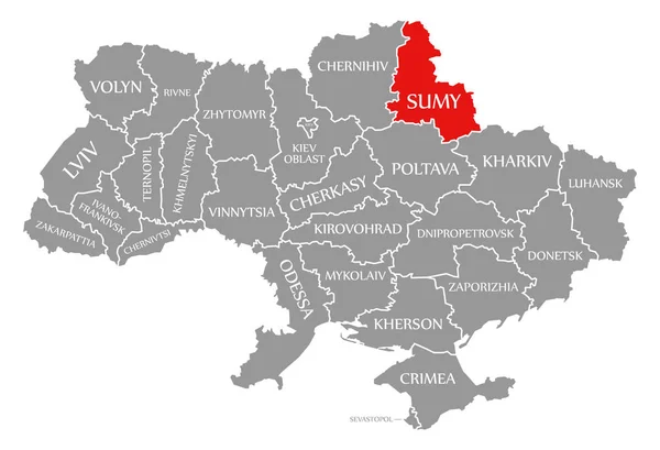
Sumy red highlighted in map of the Ukraine
Sumy red highlighted in map of the Ukraine — Stock Photo, Image
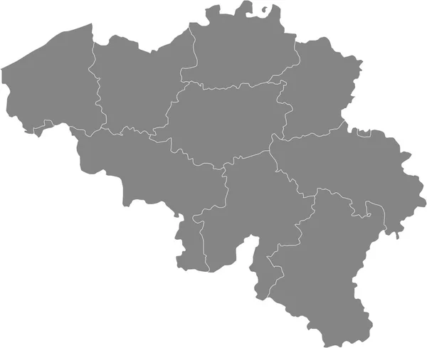
Vector map Belgium. Isolated vector Illustration. Black on White background. EPS 10 Illustration.
Vector Map Belgium Isolated Vector Illustration Black White Background Eps — Stock Photo, Image
Map of Lublin Voivodeship. Poland.
Map of Lublin Voivodeship. Poland. — Stock Photo, Image
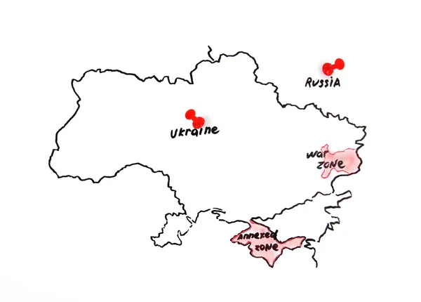
Territorial dispute concept
Territorial dispute concept — Stock Photo, Image
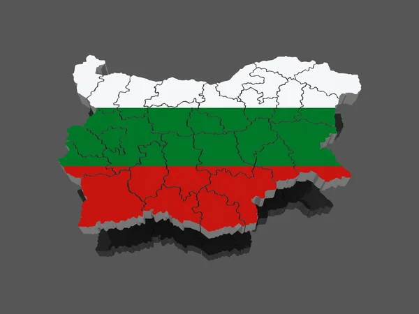
Three-dimensional map of Bulgaria
Three-dimensional map of Bulgaria — Stock Photo, Image
Map of Moravian. Czech Republic.
Map of Moravian. Czech Republic. — Stock Photo, Image
Green map of Ukraine on a white background close up. Outline of Ukraine
Green map of Ukraine on a white background close up. Outline of Ukraine — Stock Photo, Image
Map of Bavaria. Germany.
Map of Bavaria. Germany. — Stock Photo, Image
3D map, flag - Poland
Map Flag Poland — Stock Photo, Image
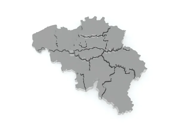
Three-dimensional map of Belgium.
Three-dimensional map of Belgium. — Stock Photo, Image
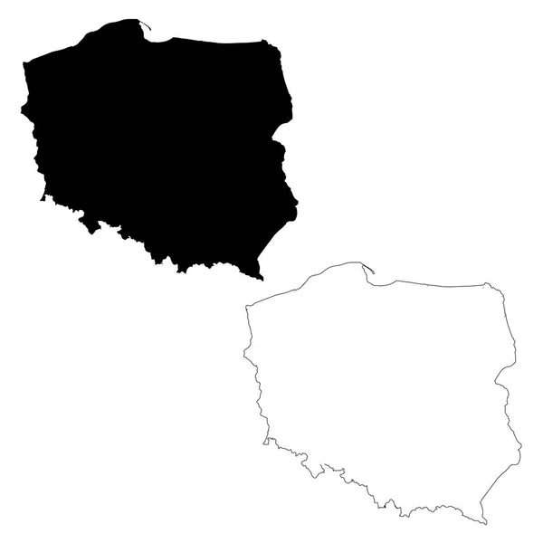
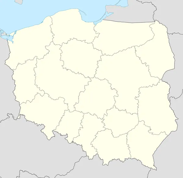
Map Poland. Isolated Illustration. Black on White background.
Map Poland Isolated Illustration Black White Background — Stock Photo, Image
Mongolia on globe in red
Mongolia on globe in red — Stock Photo, Image
Map of South Moravian Region. Czech Republic.
Map of South Moravian Region. Czech Republic. — Stock Photo, Image
Map of Poland
Map of Poland — Stock Photo, Image
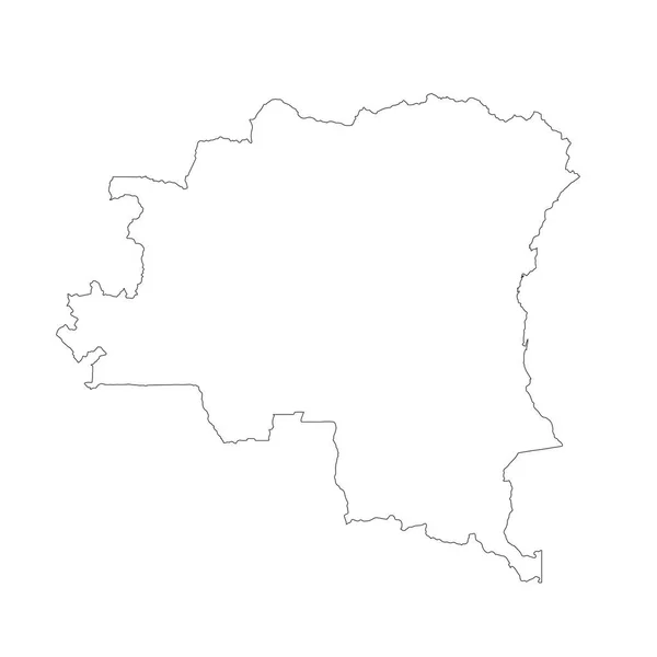
Map Democratic Republic of the Congo. Isolated Illustration. Black on White background.
Map Democratic Republic Congo Isolated Illustration Black White Background — Stock Photo, Image
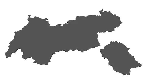
Map of Tyrol- isolated
Map of Tyrol- isolated — Stock Photo, Image
Map of Khovd . Mongolia.
Map of Khovd . Mongolia. — Stock Photo, Image
Map of the Russian Federation. Tomsk region.
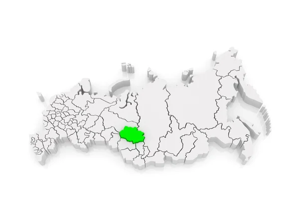
Map of the Russian Federation. Tomsk region. — Stock Photo, Image
Black and white vector illustration of usa map
Black White Vector Illustration Usa Map — Stock Photo, Image
Map of Sumy region. Ukraine.
Map of Sumy region. Ukraine. — Stock Photo, Image
Territories of regions on map with administrative divisions and borders of Czech Republic with clipping path
Territories Regions Map Administrative Divisions Borders Czech Republic Clipping Path — Stock Photo, Image
Map of Anzoategui. Venezuela.
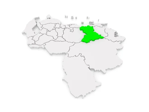
Map of Anzoategui. Venezuela. — Stock Photo, Image
Belarus on Europe map. red color country. black and white background
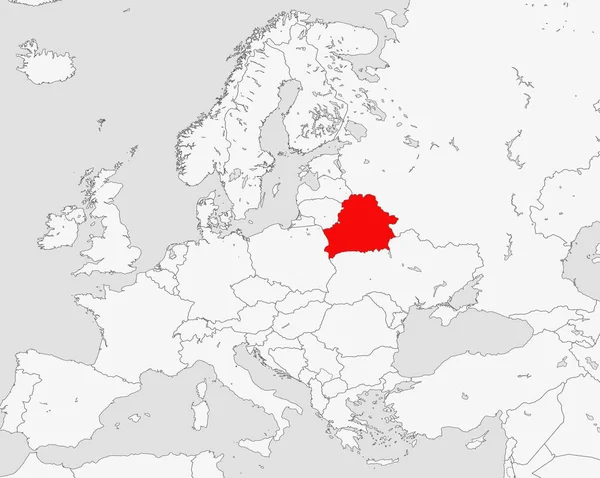
Belarus Europe Map Red Color Country Black White Background — Stock Photo, Image
Map of Albania
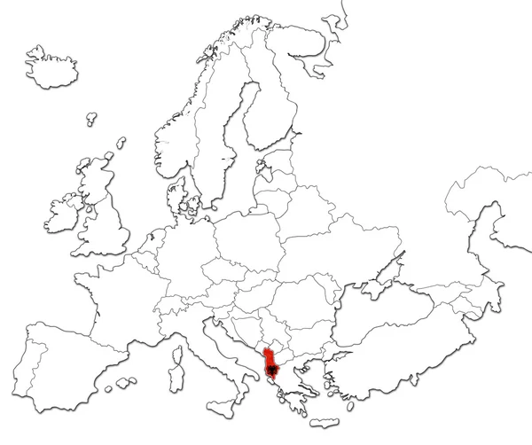
Map of Albania — Stock Photo, Image
Map of the Russian Federation. Yamal-Nenets Autonomous Okrug.
Map of the Russian Federation. Yamal-Nenets Autonomous Okrug. — Stock Photo, Image
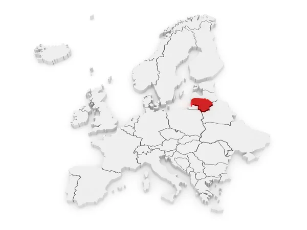
Map of Europe and Lithuania.
Map of Europe and Lithuania. — Stock Photo, Image
Map of Chernihiv region. Ukraine.
Map of Chernihiv region. Ukraine. — Stock Photo, Image
Flag of belarus
Flag of belarus — Stock Photo, Image
Map of Rondonia - Brazil
Map of Rondonia - Brazil — Stock Photo, Image
Map of Rondonia - Brazil
Map of Rondonia - Brazil — Stock Photo, Image
Map of Moravian. Czech Republic.
Map of Moravian. Czech Republic. — Stock Photo, Image
Map Central African Republic. Isolated Illustration. Black on White background.
Map Central African Republic Isolated Illustration Black White Background — Stock Photo, Image
Map of Dobrich Province. Bulgaria.
Map of Dobrich Province. Bulgaria. — Stock Photo, Image
Map of Belarus
Map of Belarus — Stock Photo, Image
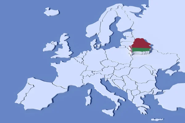
Europe Map 3D Relief Belarus flag colors
Europe Map 3D Relief Belarus flag colors — Stock Photo, Image
Map of Shkoder. Albania.
Map of Shkoder. Albania. — Stock Photo, Image
Bhutan map with gray tone on white background,illustration,textured , Symbols of Bhutan ,for advertising ,promote, TV commercial, ads, web design, magazine, news paper, report,
Bhutan Map Gray Tone White Background Illustration Textured Symbols Bhutan — Stock Photo, Image
Map of Schleswig-Holstein. Germany.
Map of Schleswig-Holstein. Germany. — Stock Photo, Image
Map of Albania.
Map of Albania. — Stock Photo, Image
Map of Austria
Map of Austria — Stock Photo, Image
Shape of Homyel', region of Belarus, with its capital isolated on solid background. Distance scale, region preview and labels. Bilevel elevation map. 3D rendering
Shape Homyel Region Belarus Its Capital Isolated Solid Background Distance — Stock Photo, Image
Map of Usti region. Czech Republic.
Map of Usti region. Czech Republic. — Stock Photo, Image
Map of the Russian Federation. Pskov region.
Map of the Russian Federation. Pskov region. — Stock Photo, Image
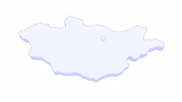
Map of Mongolia
Map of Mongolia — Stock Photo, Image
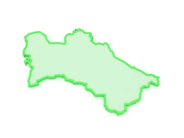
Map of Turkmenistan.
Map of Turkmenistan. — Stock Photo, Image
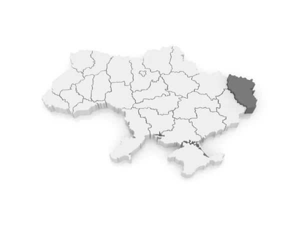
Map of Lugansk region. Ukraine.
Map of Lugansk region. Ukraine. — Stock Photo, Image
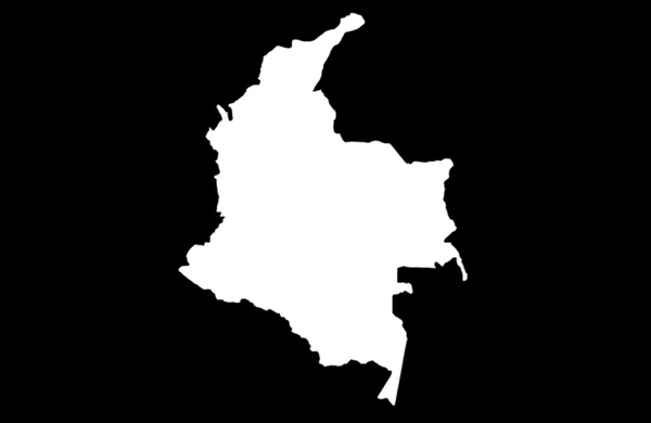
Republic of Colombia map
Republic of Colombia map — Stock Photo, Image
Map of the Russian Federation. Republic of Tatarstan.
Map of the Russian Federation. Republic of Tatarstan. — Stock Photo, Image
Polygonal 2D Mesh High Resolution Raster Map of Rondonia State Abstractions
Polygonal 2D Mesh High Resolution Raster Map of Rondonia State Abstractions — Stock Photo, Image
Poland in red on map
Poland in red on map — Stock Photo, Image
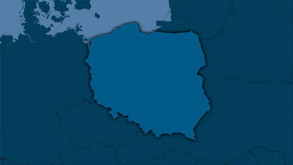
Poland area on the solid map in the stereographic projection - raw composition of raster layers with dark glowing outline
Poland Area Solid Map Stereographic Projection Raw Composition Raster Layers — Stock Photo, Image
Poland map
Poland map — Stock Photo, Image
Map of the Russian Federation. Kemerovo region.
Map of the Russian Federation. Kemerovo region. — Stock Photo, Image
Map of Europe and Czech.
Map of Europe and Czech. — Stock Photo, Image
Map of the Russian Federation. Kostroma region.
Map of the Russian Federation. Kostroma region. — Stock Photo, Image
Icon Illustration with Four Color Variations
Icon Illustration with Four Color Variations — Stock Photo, Image
Poland on globe
Poland on globe — Stock Photo, Image
Map of the Russian Federation. Vladimir region.
Map of the Russian Federation. Vladimir region. — Stock Photo, Image
Lithuania on globe
Lithuania on globe — Stock Photo, Image
Map of Brandenburg. Germany.
Map of Brandenburg. Germany. — Stock Photo, Image
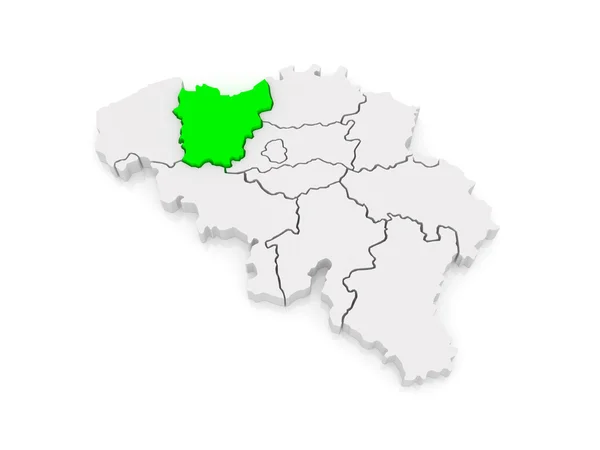
Map of East Flanders. Belgium.
Map of East Flanders. Belgium. — Stock Photo, Image
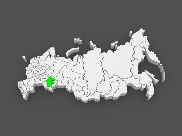
Map of the Russian Federation. Republic of Bashkortostan.
Map of the Russian Federation. Republic of Bashkortostan. — Stock Photo, Image
Map of Belgium
Map of Belgium — Stock Photo, Image
Map of Dobrich Province. Bulgaria.
Map of Dobrich Province. Bulgaria. — Stock Photo, Image
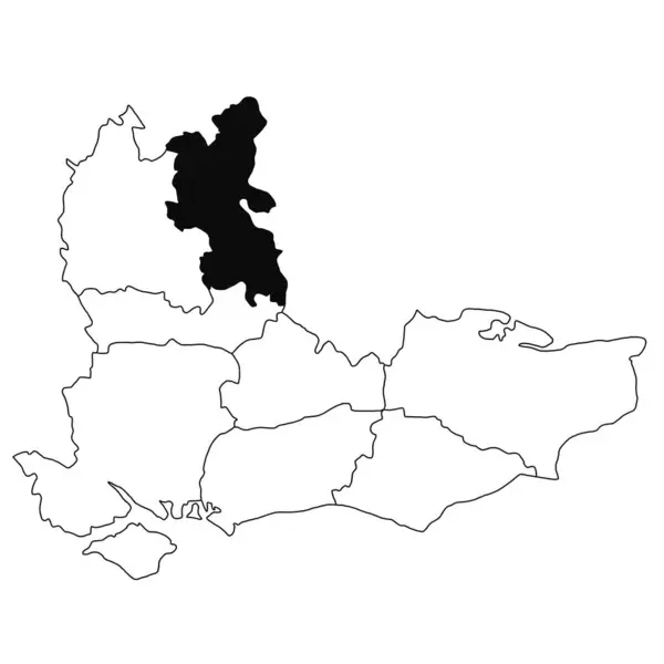
Map of Buckinghamshire in South East England province on white background. single County map highlighted by black colour on South east England administrative map.
Map Buckinghamshire South East England Province White Background Single County — Stock Photo, Image
New region of France - Alsace, Lorraine
New region of France - Alsace, Lorraine — Stock Photo, Image
Poland population heat map as color density illustration
Poland Population Heat Map Color Density Illustration — Stock Photo, Image

Discover Stunning Belarus Map Images

If you're looking for vivid and high-quality photographs and graphics of Belarus, we've got you covered. Whether you're working on a research paper, planning a presentation or creating a marketing campaign, our selection of Belarus map images can help you achieve your desired outcome. With over 50 different images available in JPG, AI, and EPS formats, you'll be able to choose the best image for your project.

Why Belarus Map Images?

Belarus map images are highly versatile visuals that can be used in a variety of projects. They are often used in news articles, educational resources, and marketing materials, among others. If you're working on a marketing campaign in Belarus, a map image can show your target audience the locations of your products and services. If you're a journalist writing about Belarus, a map image can give your readers a visual representation of where events are taking place.

Where You Can Use Belarus Map Images

Belarus map images are a great addition to any project, whether it is online or offline. You can use them in presentations, posters, flyers, brochures, web pages, and even social media posts. One key aspect to consider when choosing an image is the visual impact it has on the viewer. For this reason, make sure to select images that will grab the viewer's attention. You don't want your image to blend in with other graphics or text.

How to Choose the Right Belarus Map Image

When it comes to selecting the right map image for your project, keep in mind the following points:

- Select an image with quality: Look for an image that is sharp and high-quality, and has no visible flaws, such as blurriness. - Choose the right format: Ensure that the format of the image is compatible with the software you're using to create your project. - Consider the purpose: Think about the message you're trying to convey, and choose an image that best fits your project type. A graphic with labels is better suited for an educational resource than a marketing campaign, for example. - Evaluate the colors: If color is an important aspect in your project, choose a map image with vivid and complementary colors. - Think about composition: Consider the layout of the image and how it will fit into your project. A symmetrical image may be better suited for a poster or brochure than for a social media post.

Final Thoughts

Whether you're a content creator, marketer, graphic designer, or journalist, adding Belarus map images to your project can take your work to the next level. By keeping in mind what you are trying to achieve and selecting an image that conveys your message, you can create an engaging and informative project. Take the time to explore our extensive collection of Belarus map images and choose the one that suits your project best.