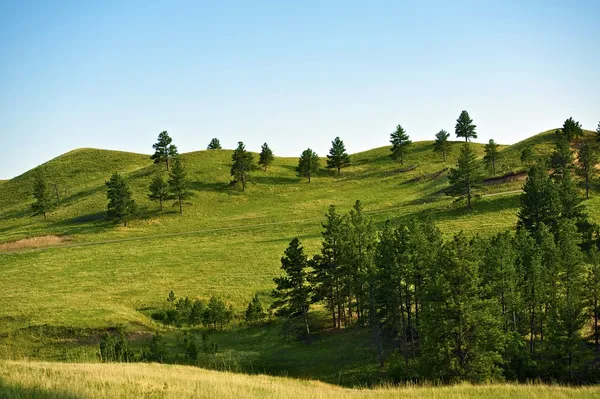
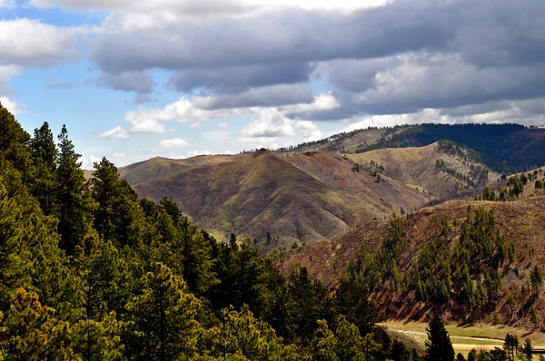
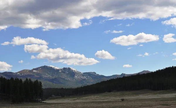
Black Hills Landscape
Black Hills Landscape — Stock Photo, Image
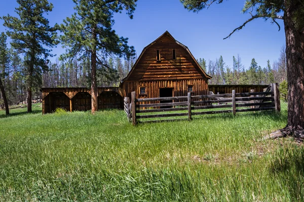
Old farmhouse in South Dakota
Old farmhouse in South Dakota — Stock Photo, Image
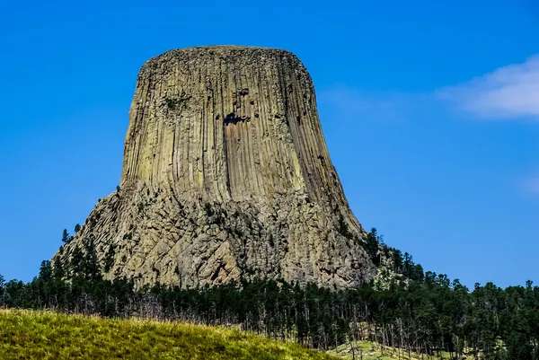
The Amazing Rock Outcrop or Laccolith Called Devil's Tower, Wyoming, USA.
The Amazing Rock Outcrop or Laccolith Called Devil's Tower, Wyoming, USA. — Stock Photo, Image
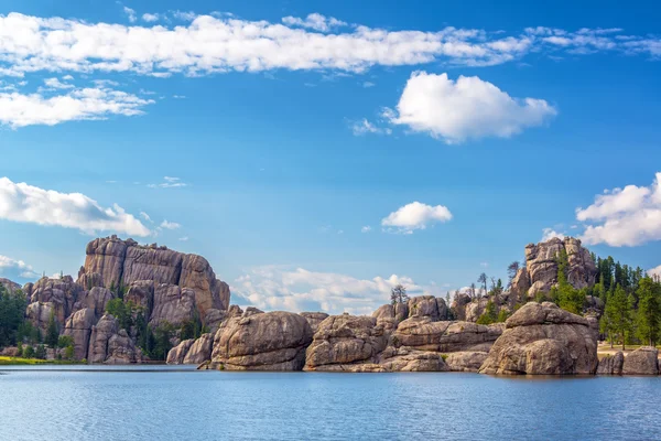
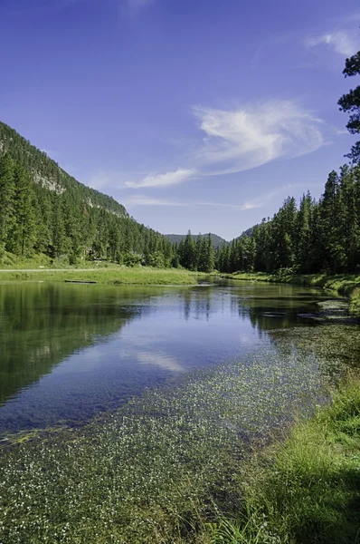
Beautiful Sylvan Lake
Beautiful Sylvan Lake — Stock Photo, Image
Black Hills South Dakota-1-3
Black Hills South Dakota-1-3 — Stock Photo, Image
Black Hills South Dakota-1-11
Black Hills South Dakota-1-11 — Stock Photo, Image
Attractive, young couple on vacation
Attractive, young couple on vacation — Stock Photo, Image
Rugged Hills in Badlands National Park in South Dakota
Rugged Hills Badlands National Park South Dakota — Stock Photo, Image
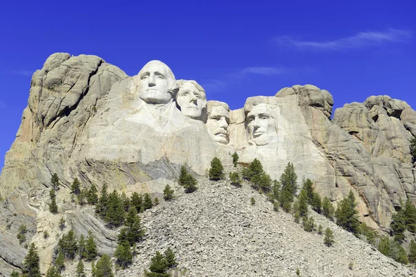
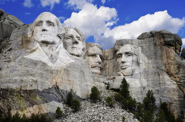
Mount Rushmore National Memorial, symbol of America located in the Black Hills, South Dakota, USA.
Mount Rushmore National Memorial, symbol of America located in the Black Hills, South Dakota, USA. — Stock Photo, Image
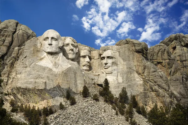
Mount Rushmore.
Mount Rushmore. — Stock Photo, Image
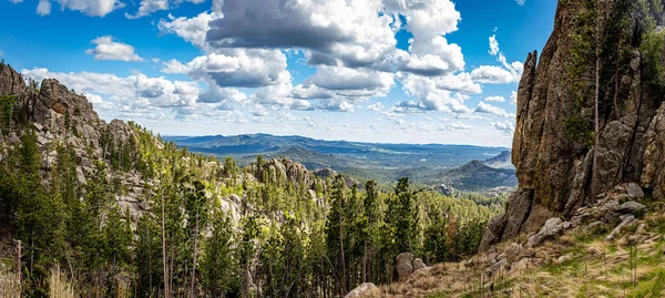
Speactacular views along Needles Highway at Custer State Park in the Black Hills of South Dakota.
Speactacular Views Needles Highway Custer State Park Black Hills South — Stock Photo, Image
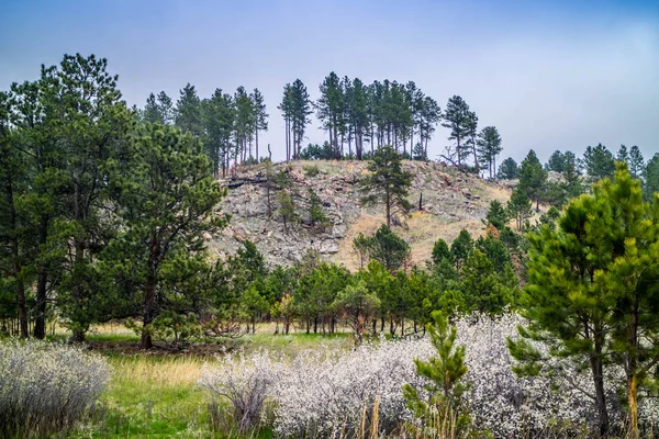
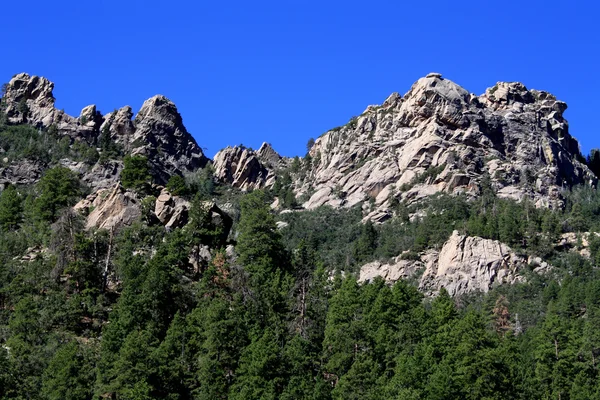
Granite Rocks, Black Hills National Forest
Granite Rocks, Black Hills National Forest — Stock Photo, Image
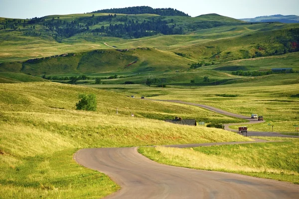
South Dakota Landscape
South Dakota Landscape — Stock Photo, Image
Historic Marker in Deadwood, South Dakota
Historic Marker in Deadwood, South Dakota — Stock Photo, Image
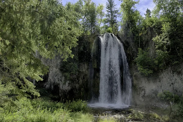
Waterfall in the Black Hills of South Dakota
Waterfall in the Black Hills of South Dakota — Stock Photo, Image
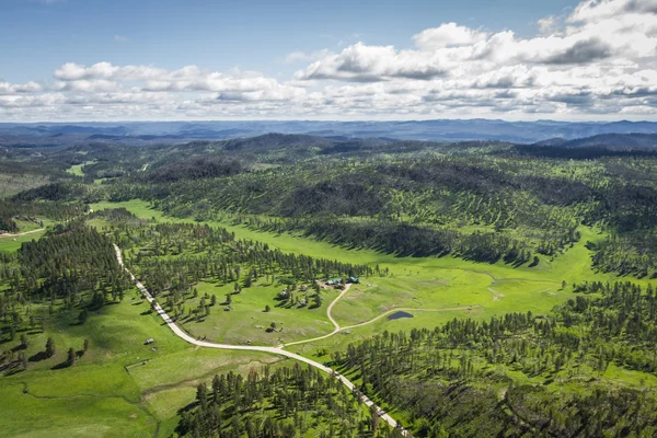
Aerial view of the black hills
Aerial view of the black hills — Stock Photo, Image
Mt. Rushmore National Memorial Park in South Dakota with bright blue sky in background.
Mt. Rushmore National Memorial Park in South Dakota with bright blue sky in background. — Stock Photo, Image
A car traveling at high speed
A car traveling at high speed — Stock Photo, Image
Spearfish Canyon in South Dakota
Spearfish Canyon in South Dakota — Stock Photo, Image
Black hills background at day
Black Hills Background Day — Stock Photo, Image
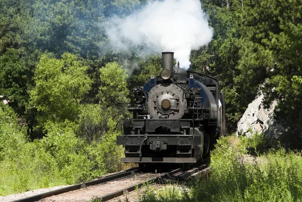
Steam Locomotive
Steam Locomotive — Stock Photo, Image
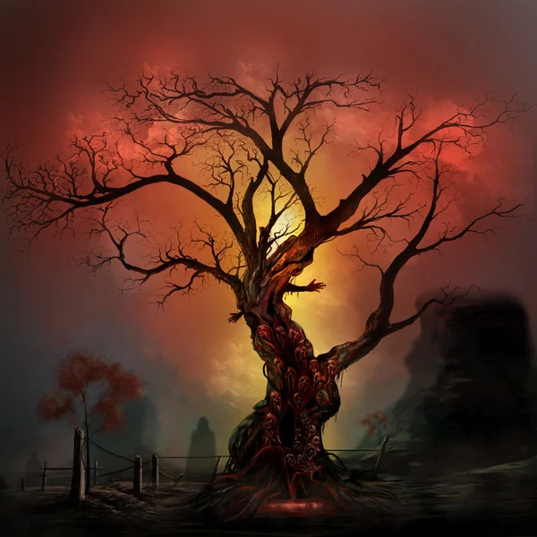
Horror tree
Horror tree — Stock Photo, Image
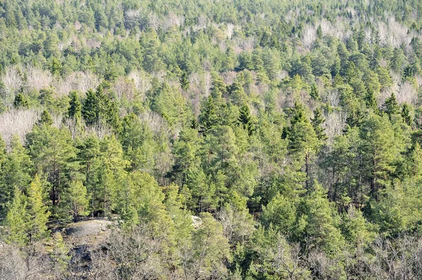
Fir forest
Fir forest — Stock Photo, Image
Mount Rushmore National Memorial, South Dakota
Mount Rushmore National Memorial South Dakota — Stock Photo, Image
Shape of North-West, district of Botswana, with its capital isolated on white background. Bilevel elevation map. 3D rendering
Shape North West District Botswana Its Capital Isolated White Background — Stock Photo, Image
Gray rocky outliers at the top of the mountain in fog on an autumn day
Gray Rocky Outliers Top Mountain Fog Autumn Day — Stock Photo, Image
Views from the Needles Highway in Summer, South Dakota
Views Needles Highway Summer South Dakota — Stock Photo, Image
Alpine peak of Rottosse in the Swiss mountain range of Pilatus and in the Emmental Alps, Alpnach - Canton of Obwalden, Switzerland (Kanton Obwalden, Schweiz)
Alpine Peak Rottosse Swiss Mountain Range Pilatus Emmental Alps Alpnach — Stock Photo, Image
Smolyan, province of Bulgaria. Low resolution satellite map. Locations of major cities of the region. Corner auxiliary location maps
Smolyan Province Bulgaria Low Resolution Satellite Map Locations Major Cities — Stock Photo, Image
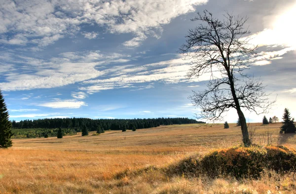
Bare autumn land
Bare autumn land — Stock Photo, Image
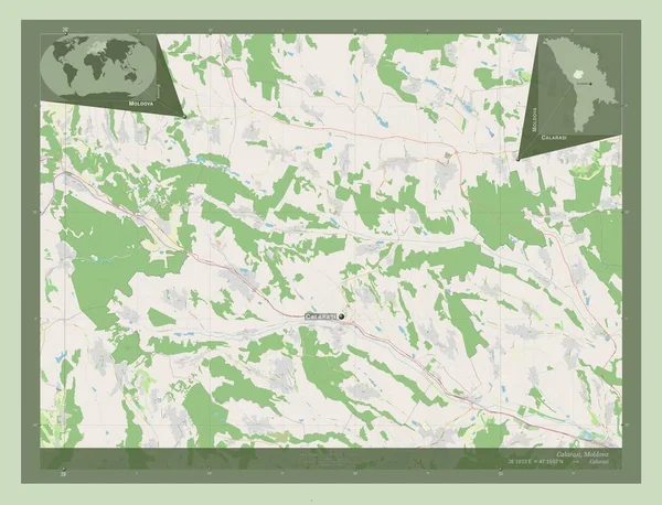
Calarasi, district of Moldova. Open Street Map. Locations and names of major cities of the region. Corner auxiliary location maps
Calarasi District Moldova Open Street Map Locations Names Major Cities — Stock Photo, Image
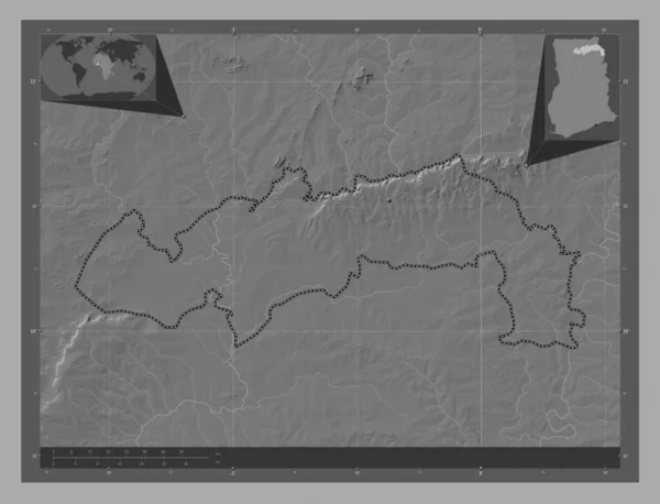
North East, region of Ghana. Bilevel elevation map with lakes and rivers. Corner auxiliary location maps
North East Region Ghana Bilevel Elevation Map Lakes Rivers Corner — Stock Photo, Image
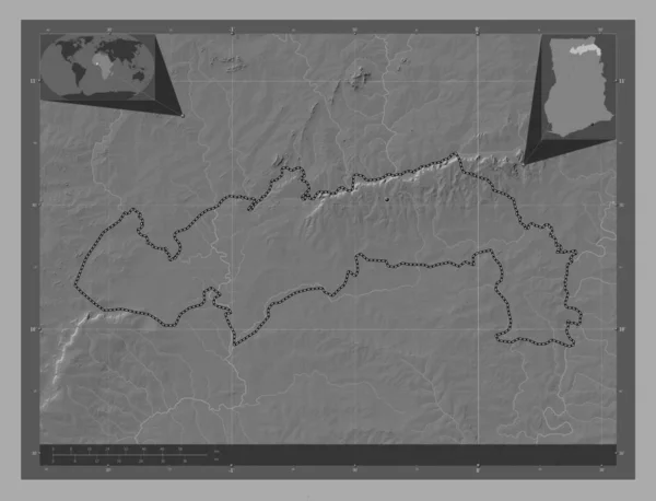
North East, region of Ghana. Bilevel elevation map with lakes and rivers. Locations of major cities of the region. Corner auxiliary location maps
North East Region Ghana Bilevel Elevation Map Lakes Rivers Locations — Stock Photo, Image
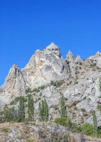
Bizarre fabulous rocks around the village of Sun Valley .
Bizarre Fabulous Rocks Village Sun Valley — Stock Photo, Image
Black Elk Peak Lookout
Black Elk Peak Lookout — Stock Photo, Image
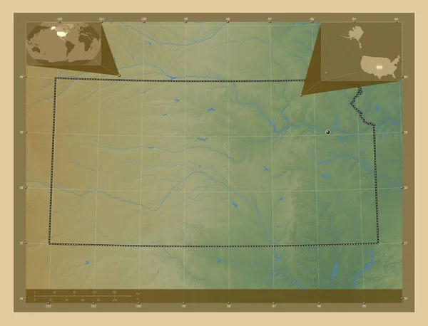
Kansas, state of United States of America. Colored elevation map with lakes and rivers. Corner auxiliary location maps
Kansas State United States America Colored Elevation Map Lakes Rivers — Stock Photo, Image
A beautiful overlooking view of nature in Custer State Park, South Dakota
A beautiful overlooking view of nature in Custer State Park, South Dakota — Stock Photo, Image
Ancient Observatory Kokino
Ancient Observatory Kokino — Stock Photo, Image
Rock formations, Needles Highway, South Dakota
Rock formations, Needles Highway, South Dakota — Stock Photo, Image
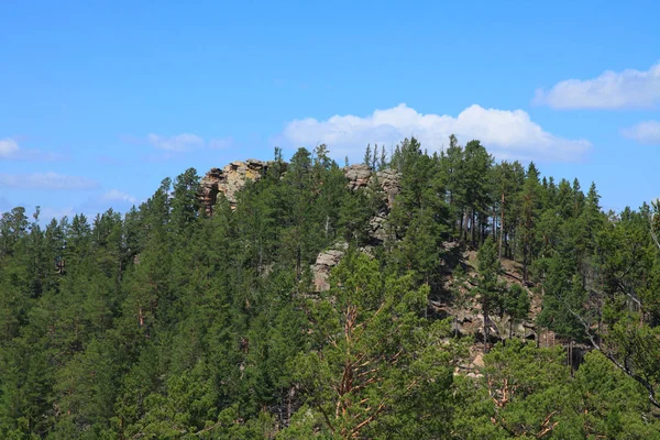
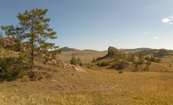
Rocky top of the mount in the siberian taiga. yablonovy ridge, transbaikalia
Rocky Top Mount Siberian Taiga Yablonovy Ridge Transbaikalia — Stock Photo, Image
Ancient Observatory Kokino
Ancient Observatory Kokino — Stock Photo, Image
Ancient Observatory Kokino
Ancient Observatory Kokino — Stock Photo, Image
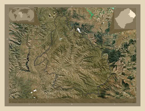
Mokhotlong, district of Lesotho. High resolution satellite map. Corner auxiliary location maps
Mokhotlong District Lesotho High Resolution Satellite Map Corner Auxiliary Location — Stock Photo, Image
Mokhotlong, district of Lesotho. High resolution satellite map. Locations of major cities of the region. Corner auxiliary location maps
Mokhotlong District Lesotho High Resolution Satellite Map Locations Major Cities — Stock Photo, Image
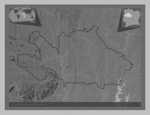
Woroba, district of Cote d'Ivoire. Grayscale elevation map with lakes and rivers. Corner auxiliary location maps
Woroba District Cote Ivoire Grayscale Elevation Map Lakes Rivers Corner — Stock Photo, Image
Kouffo, department of Benin. Elevation map colored in wiki style with lakes and rivers. Corner auxiliary location maps
Kouffo Department Benin Elevation Map Colored Wiki Style Lakes Rivers — Stock Photo, Image
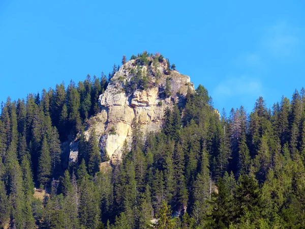
Cliff winter coniferous tree
Cliff winter coniferous tree — Stock Photo, Image
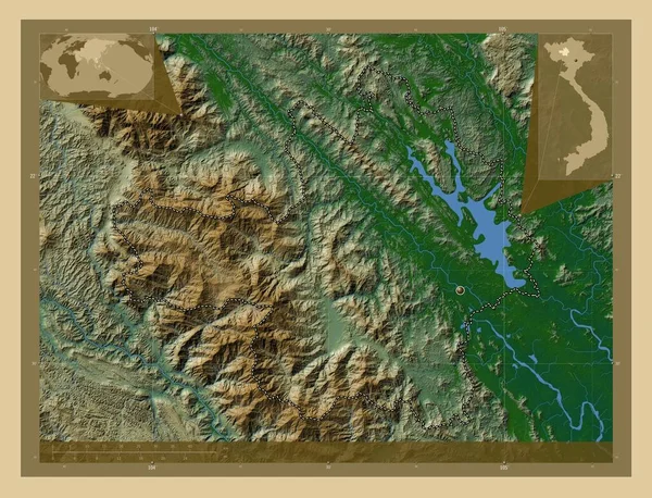
Yen Bai, province of Vietnam. Colored elevation map with lakes and rivers. Corner auxiliary location maps
Yen Bai Province Vietnam Colored Elevation Map Lakes Rivers Corner — Stock Photo, Image
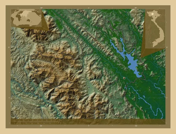
Yen Bai, province of Vietnam. Colored elevation map with lakes and rivers. Locations of major cities of the region. Corner auxiliary location maps
Yen Bai Province Vietnam Colored Elevation Map Lakes Rivers Locations — Stock Photo, Image
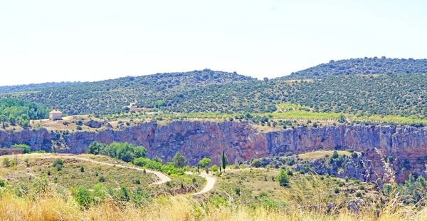
Nuevalos, Zaragoza province landscape, Zaragoza, Aragon, Spain, Europe
Nuevalos Zaragoza Province Landscape Zaragoza Aragon Spain Europe — Stock Photo, Image
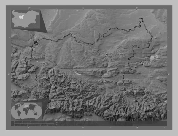
Lovech, province of Bulgaria. Grayscale elevation map with lakes and rivers. Locations of major cities of the region. Corner auxiliary location maps
Lovech Province Bulgaria Grayscale Elevation Map Lakes Rivers Locations Major — Stock Photo, Image
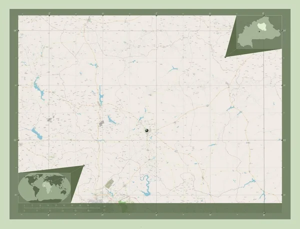
Centre-Nord, region of Burkina Faso. Open Street Map. Corner auxiliary location maps
Centre Nord Region Burkina Faso Open Street Map Corner Auxiliary — Stock Photo, Image
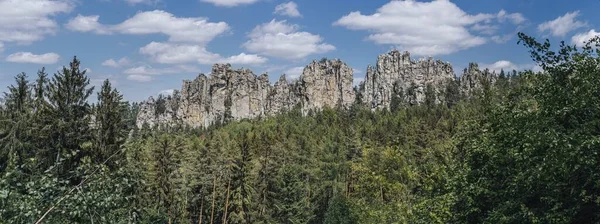
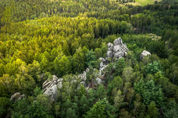
Beautiful view of the rocky ridge of Suche skaly (Dry Rocks), in Cuech paradise (Cesky raj). Fantastic sharp rock wall and sandstone rocks.
Beautiful View Rocky Ridge Suche Skaly Dry Rocks Cuech Paradise — Stock Photo, Image
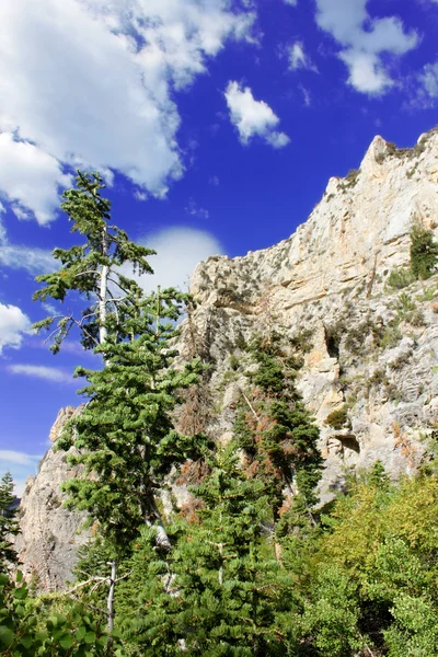
Spring Mountains National Recreation Area
Spring Mountains National Recreation Area — Stock Photo, Image
Large stones on a landscape background
Large Stones Landscape Background — Stock Photo, Image
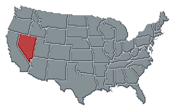
Political map of United States with the several states where Nevada is highlighted.
Political Map United States Several States Nevada Highlighted — Stock Photo, Image
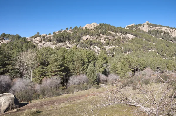
La Pedriza
La Pedriza — Stock Photo, Image
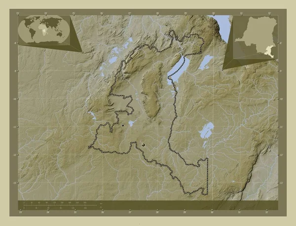
Haut-Katanga, province of Democratic Republic of the Congo. Elevation map colored in wiki style with lakes and rivers. Locations of major cities of the region. Corner auxiliary location maps
Haut Katanga Province Democratic Republic Congo Elevation Map Colored Wiki — Stock Photo, Image
Shape of North-West, district of Botswana, with its capital isolated on white background. Colored elevation map. 3D rendering
Shape North West District Botswana Its Capital Isolated White Background — Stock Photo, Image
Mountain top
Mountain top — Stock Photo, Image
Shape of Iowa, state of Mainland United States, with its capital isolated on a solid color background. Topographic relief map. 3D rendering
Shape Iowa State Mainland United States Its Capital Isolated Solid — Stock Photo, Image
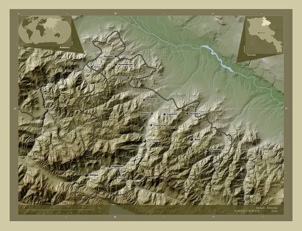
Tavush, province of Armenia. Elevation map colored in wiki style with lakes and rivers. Locations and names of major cities of the region. Corner auxiliary location maps
Tavush Province Armenia Elevation Map Colored Wiki Style Lakes Rivers — Stock Photo, Image
Rocks and vegetation,dixie national forest,utah
Rocks Vegetation Dixie National Forest Utah — Stock Photo, Image
Autumn forest october panorama
Autumn Forest October Panorama — Stock Photo, Image
Beautiful views of the Urals mountains. Taganay ridge is very golden. Russia.
Beautiful Views Urals Mountains Taganay Ridge Very Golden Russia — Stock Photo, Image
Autumn colorful landscape scenic view
Autumn Colorful Landscape Scenic View — Stock Photo, Image
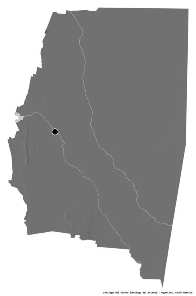
Shape of Santiago del Estero, province of Argentina, with its capital isolated on white background. Bilevel elevation map. 3D rendering
Shape Santiago Del Estero Province Argentina Its Capital Isolated White — Stock Photo, Image
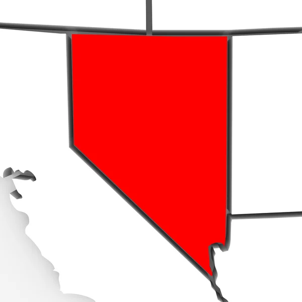
Nevada - Abstract State Map
Nevada - Abstract State Map — Stock Photo, Image
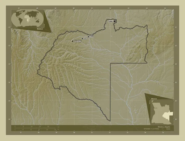
Moxico, province of Angola. Elevation map colored in wiki style with lakes and rivers. Locations and names of major cities of the region. Corner auxiliary location maps
Moxico Province Angola Elevation Map Colored Wiki Style Lakes Rivers — Stock Photo, Image
Shape of Nebraska, state of Mainland United States, with its capital isolated on a solid color background. Colored elevation map. 3D rendering
Shape Nebraska State Mainland United States Its Capital Isolated Solid — Stock Photo, Image
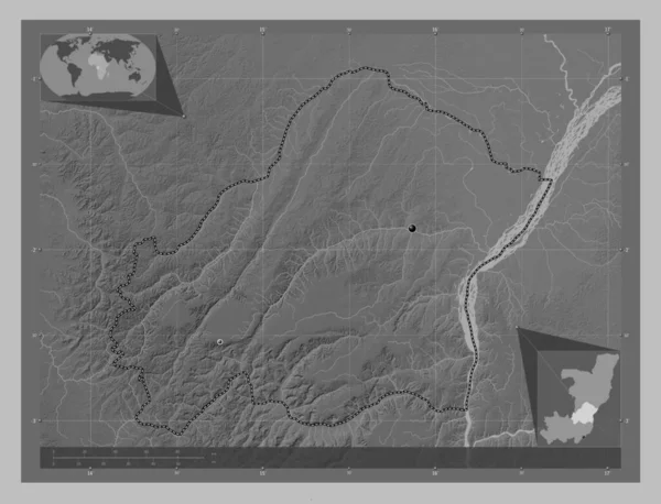
Plateaux, region of Republic of Congo. Grayscale elevation map with lakes and rivers. Locations of major cities of the region. Corner auxiliary location maps
Plateaux Region Republic Congo Grayscale Elevation Map Lakes Rivers Locations — Stock Photo, Image
Political map of United States with the several states where North Dakota is highlighted.
Political Map United States Several States North Dakota Highlighted — Stock Photo, Image
Woroba, district of Cote d'Ivoire. Grayscale elevation map with lakes and rivers. Locations of major cities of the region. Corner auxiliary location maps
Woroba District Cote Ivoire Grayscale Elevation Map Lakes Rivers Locations — Stock Photo, Image
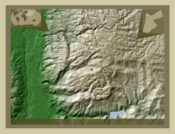
Ajlun, province of Jordan. Elevation map colored in wiki style with lakes and rivers. Locations of major cities of the region. Corner auxiliary location maps
Ajlun Province Jordan Elevation Map Colored Wiki Style Lakes Rivers — Stock Photo, Image
Shape of Missouri, state of Mainland United States, with its capital isolated on white background. Satellite imagery. 3D rendering
Shape Missouri State Mainland United States Its Capital Isolated White — Stock Photo, Image
Upper Calf Creek Falls views from the hiking trail of Waterfalls Grand Staircase-Escalante National Monument between Boulder and Escalante off Highway 12 in Southern Utah. United States.
Upper Calf Creek Falls Views Hiking Trail Waterfalls Grand Staircase — Stock Photo, Image
Haut-Katanga, province of Democratic Republic of the Congo. Elevation map colored in wiki style with lakes and rivers. Corner auxiliary location maps
Haut Katanga Province Democratic Republic Congo Elevation Map Colored Wiki — Stock Photo, Image
Steiermark, state of Austria. Colored elevation map with lakes and rivers. Locations and names of major cities of the region. Corner auxiliary location maps
Steiermark State Austria Colored Elevation Map Lakes Rivers Locations Names — Stock Photo, Image
The Lusatian Mountains Protected Landscape Area is a protected area of 267 km2 established in 1976 to protect the diverse landscape of sandstone rock towns, the remnants of natural forests.
Lusatian Mountains Protected Landscape Area Protected Area 267 Km2 Established — Stock Photo, Image
Johnson Canyon Road - Utah
Johnson Canyon Road - Utah — Stock Photo, Image
Road in Colorado
Road in Colorado — Stock Photo, Image
Spreading tree on a hill at sunset
Spreading tree on a hill at sunset — Stock Photo, Image
Rmnp - 436
Rmnp - 436 — Stock Photo, Image
Pieniny National Park. Lesser Poland, Poland.
Pieniny National Park Lesser Poland Poland — Stock Photo, Image
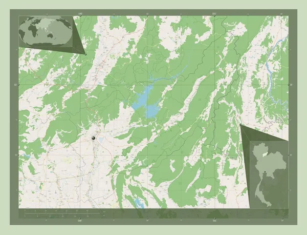
Uttaradit, province of Thailand. Open Street Map. Corner auxiliary location maps
Uttaradit Province Thailand Open Street Map Corner Auxiliary Location Maps — Stock Photo, Image
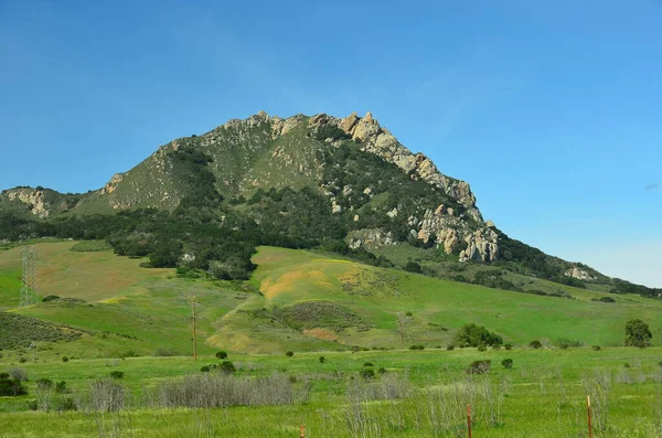
Morro Bay, California, countryside landscape. On the central coast a few miles north of San Luis Obispo.
Morro Bay California Countryside Landscape Central Coast Few Miles North — Stock Photo, Image
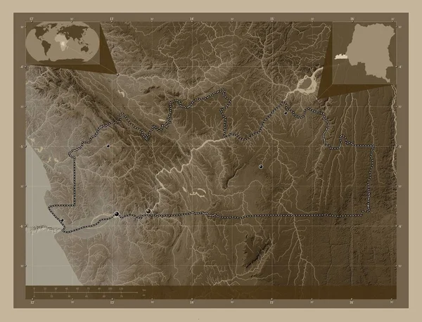
Kongo-Central, province of Democratic Republic of the Congo. Elevation map colored in sepia tones with lakes and rivers. Locations of major cities of the region. Corner auxiliary location maps
Kongo Central Province Democratic Republic Congo Elevation Map Colored Sepia — Stock Photo, Image
Larches in a mountain valley. East Sayan mountains.
Larches in a mountain valley. East Sayan mountains. — Stock Photo, Image
Amazing landscape view
Amazing landscape view — Stock Photo, Image
Hiking in Custer State Park, South Dakota
Hiking in Custer State Park, South Dakota — Stock Photo, Image
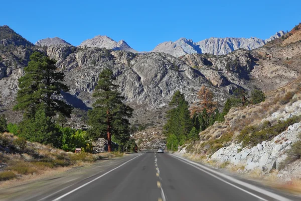
Stunning rock walls and geologic formations along a winding road cutting through the Bighorn Mountains in Wyoming.
Stunning Rock Walls Geologic Formations Winding Road Cutting Bighorn Mountains — Stock Photo, Image
Ancient Observatory Kokino
Ancient Observatory Kokino — Stock Photo, Image
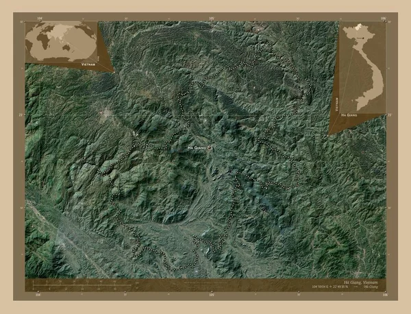
Ha Giang, province of Vietnam. Low resolution satellite map. Locations and names of major cities of the region. Corner auxiliary location maps
Giang Province Vietnam Low Resolution Satellite Map Locations Names Major — Stock Photo, Image
Lovech, province of Bulgaria. Grayscale elevation map with lakes and rivers. Corner auxiliary location maps
Lovech Province Bulgaria Grayscale Elevation Map Lakes Rivers Corner Auxiliary — Stock Photo, Image
Summer in the Ural mountains is a beautiful and picturesque time
Summer Ural Mountains Beautiful Picturesque Time — Stock Photo, Image
Rocky Peaks and Trees in Pedriza National Park; Manzanares; Madrid; Spain
Rocky Peaks Trees Pedriza National Park Manzanares Madrid Spain — Stock Photo, Image
Wild forest in the area of Black rock and Taganay ridge
Wild forest in the area of Black rock and Taganay ridge — Stock Photo, Image
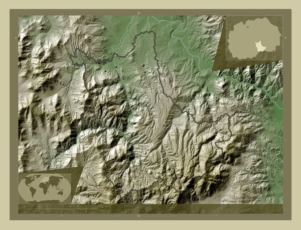
Kavadartsi, municipality of Macedonia. Elevation map colored in wiki style with lakes and rivers. Locations of major cities of the region. Corner auxiliary location maps
Kavadartsi Municipality Macedonia Elevation Map Colored Wiki Style Lakes Rivers — Stock Photo, Image

Related image searches

Welcome to the World of Black Hills Images

Black Hills images are a great way to add life to your projects. With a rich history and a vibrant culture, Black Hills images capture the essence of the American west. Our stock images collection brings you a range of breathtaking images that allow you to showcase Black Hills scenes, mesmerizing sceneries, stunning landscape, and historical attractions.

Types of Black Hill Images

Our collection includes a vast range of royalty-free images that can be used in various projects. We offer high-definition black hills images in different formats such as JPG, AI, and EPS. These formats make our images accessible to a wide range of projects, including personal and commercial projects. You can use our images for website design, marketing, advertising, social media, and editorial purposes.

Benefits of Using Black Hills Images

Black Hills images add value to your projects, making them more attractive and engaging. Using our collection gives you a wide range of options, making it easy to find the perfect image for your project. Whether you're looking to add a western touch to your design, capture the beautiful scenery, or share historical events, we have something for everyone. Our images capture the spirit of Black Hills perfectly and help you tell your story.

How to Use Images Correctly

Images are an essential part of any project, and using them correctly is crucial. To use black hills images effectively, the first step is to understand the purpose and audience of your project. Decide what message you want to convey through the image and how it will complement your text. Additionally, avoid using images that are irrelevant to your project. It's essential to ensure that the image's resolution and quality are suitable for your use, so it doesn't appear pixelated or distorted. Finally, make sure that the image is appropriately licensed for your intended use.
Conclusion

If you're looking for unique, captivating, and attractive images, our Black Hills collection is the perfect solution. We offer high-quality, affordable images that will give your project an edge. Our stock images collection provides various images that are sure to meet the needs of different projects. Use our tips to ensure that you select and use the right images correctly. With our collection, you'll have an outstanding image that will set your project apart. Explore our Black Hills image collection today and experience the beauty and essence of the American west.