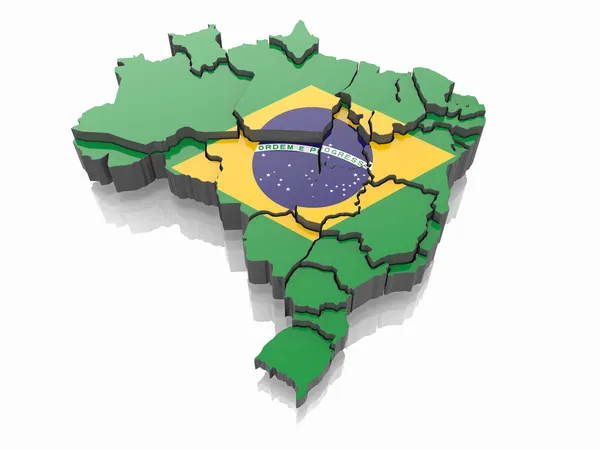
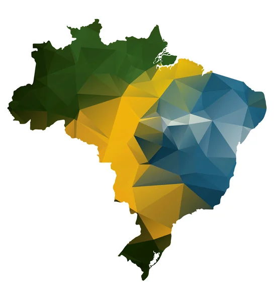
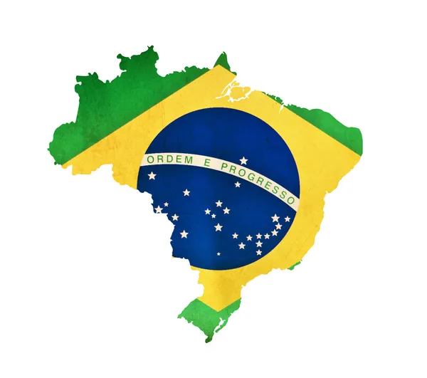
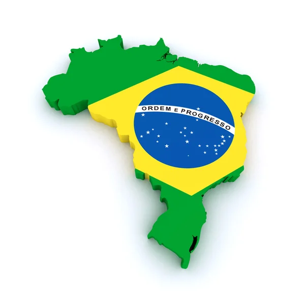
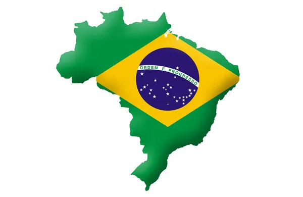
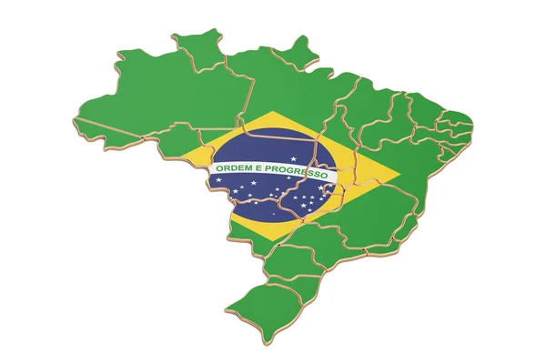
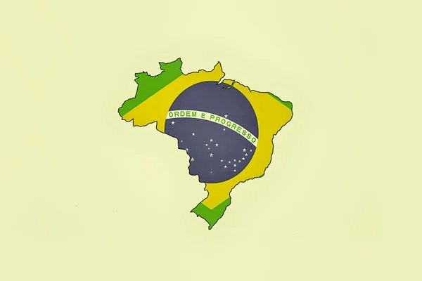
Map of Brazil in Brazilian flag colors
Map of Brazil in Brazilian flag colors — Stock Photo, Image
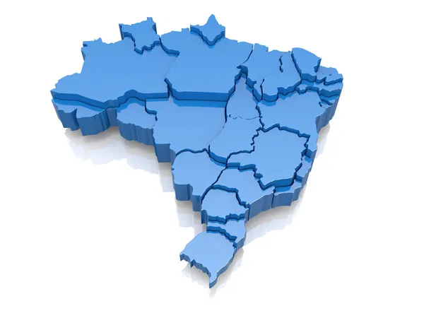
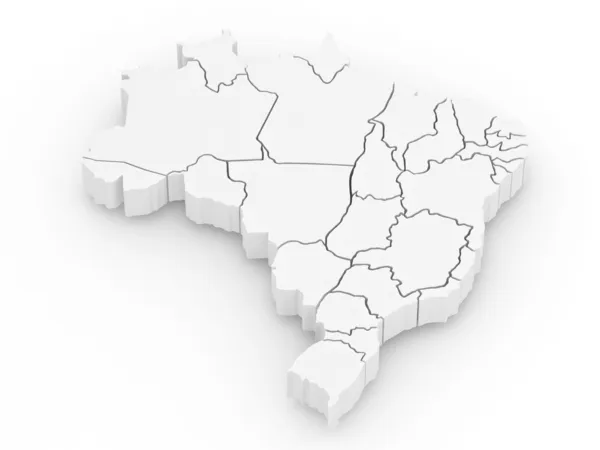
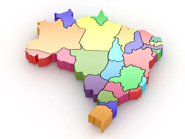
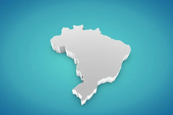
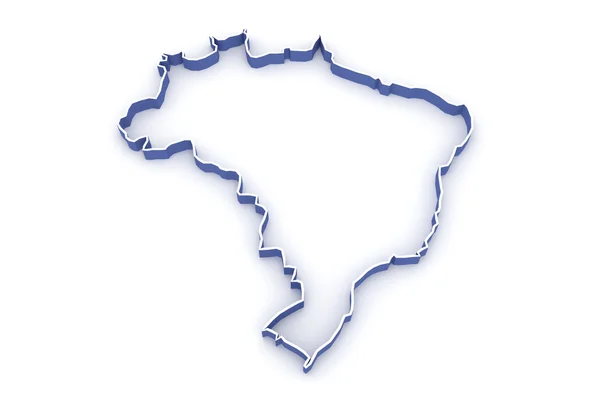
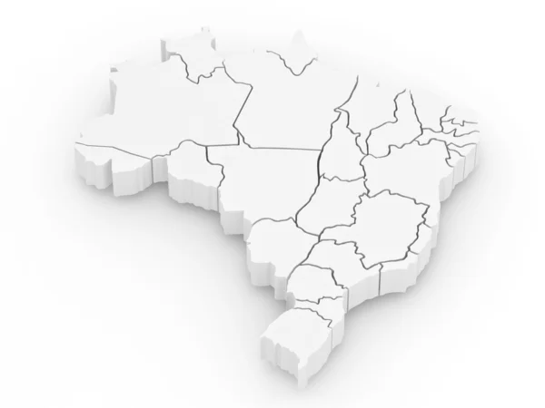
Three-dimensional map of Brazil
Three-dimensional map of Brazil — Stock Photo, Image
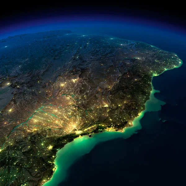
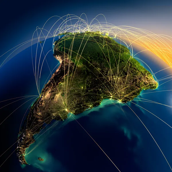
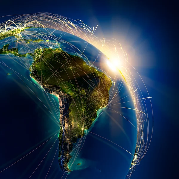
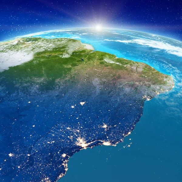
Night Earth. A piece of South America - Brazil
Night Earth. A piece of South America - Brazil — Stock Photo, Image
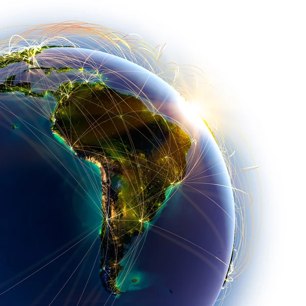
Main air routes in South America
Main air routes in South America — Stock Photo, Image
Three-dimensional map of Brazil. 3d
Three-dimensional map of Brazil. 3d — Stock Photo, Image
Geometric polygonal style map of Brazil
Geometric polygonal style map of Brazil — Stock Photo, Image
Main air routes in South America
Main air routes in South America — Stock Photo, Image
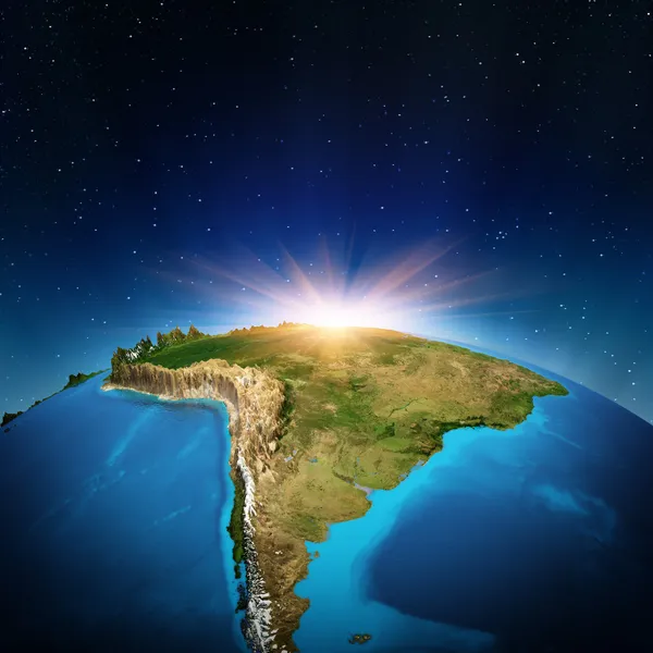
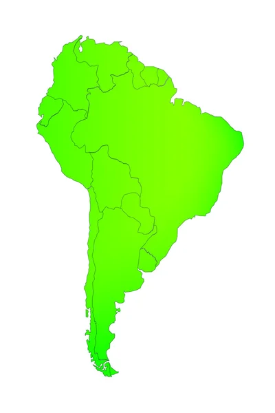
South America
South America — Stock Photo, Image
South America
South America — Stock Photo, Image
Main air routes in South America
Main air routes in South America — Stock Photo, Image
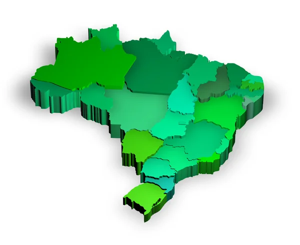
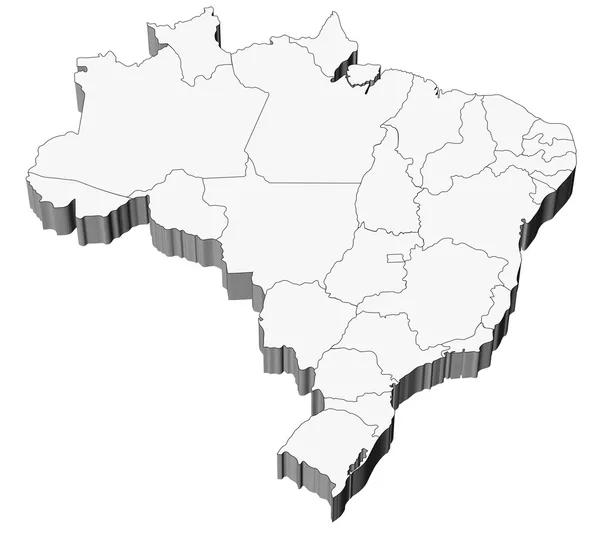
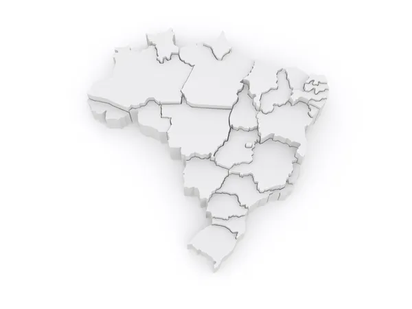
Three dimensional map of Brazil with states
Three dimensional map of Brazil with states — Stock Photo, Image
Three-dimensional map of Brazil on white isolated background. 3d
Three Dimensional Map Brazil White Isolated Background — Stock Photo, Image
Brazil map multicultural group of young people integration diver
Brazil map multicultural group of young people integration diver — Stock Photo, Image
Map of Brazil isolated
Map of Brazil isolated — Stock Photo, Image
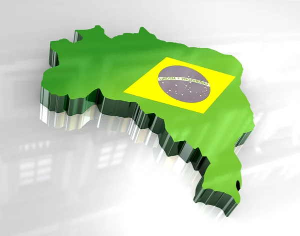
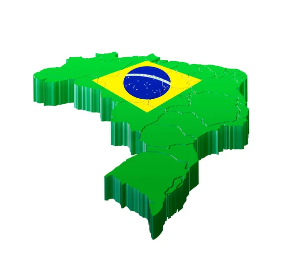
3d flag map of brazil
3d flag map of brazil — Stock Photo, Image
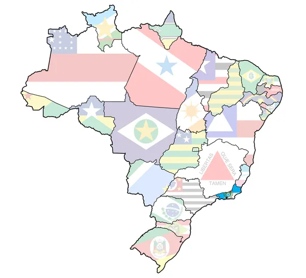
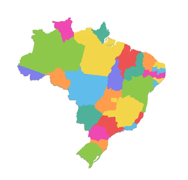
Map of Brazil with states divisions
Map of Brazil with states divisions — Stock Photo, Image
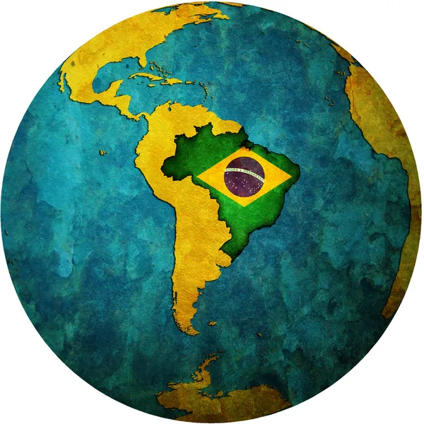
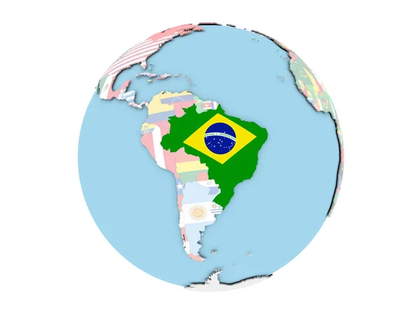
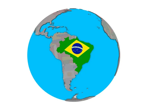
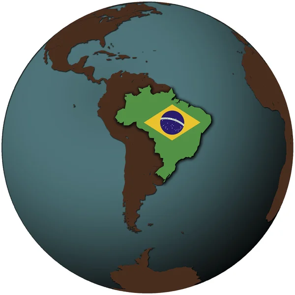
Brazil flag on globe map
Brazil flag on globe map — Stock Photo, Image
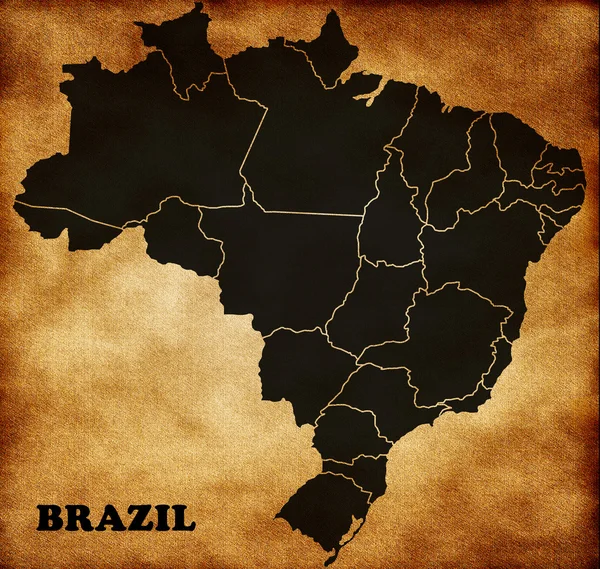
Map of Brazil
Map of Brazil — Stock Photo, Image
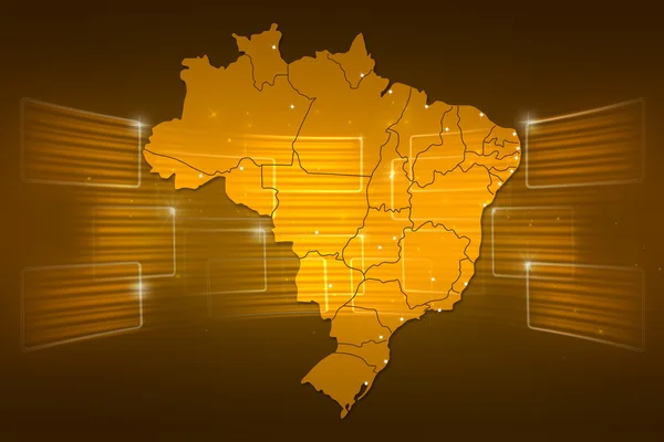
Brazil Map World map News Communication yellow gold
Brazil Map World map News Communication yellow gold — Stock Photo, Image
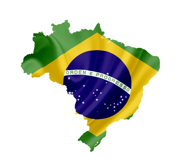
Map of Brazil with waving flag isolated on white
Map of Brazil with waving flag isolated on white — Stock Photo, Image
Brazil Map
Brazil Map — Stock Photo, Image
Map of the Brazil on Earth in the national colors
Map of the Brazil on Earth in the national colors — Stock Photo, Image
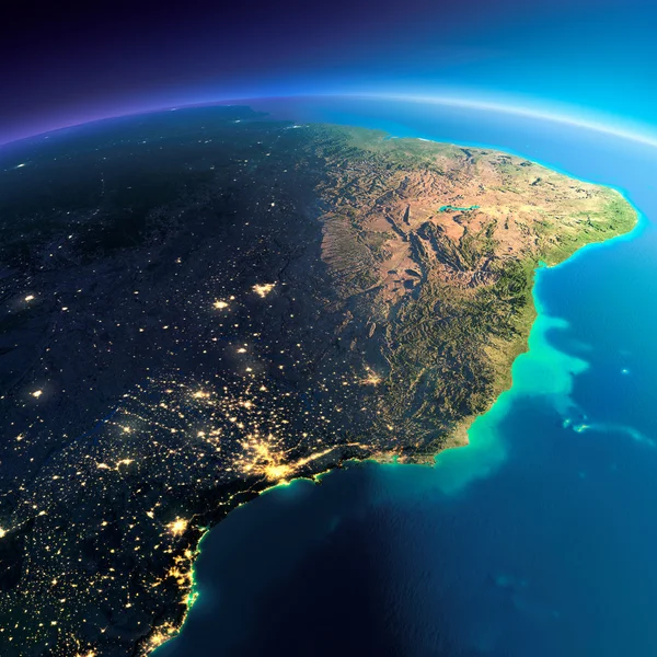
Detailed Earth. East Coast of Brazil
Detailed Earth. East Coast of Brazil — Stock Photo, Image
Three-dimensional map of Brazil.
Three-dimensional map of Brazil. — Stock Photo, Image
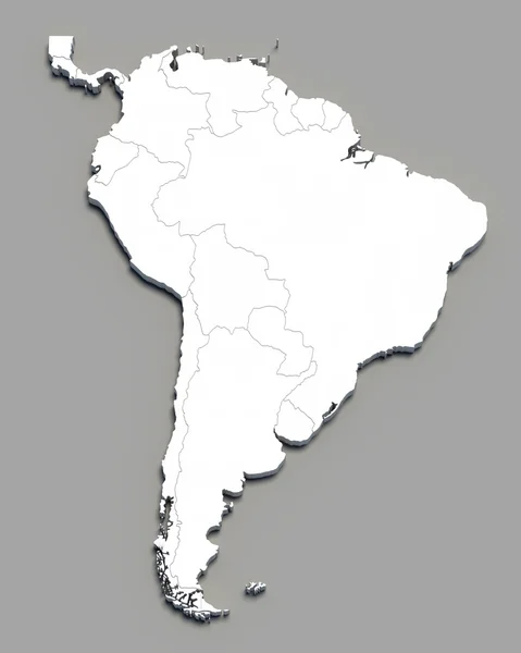
3D south america white map on grey
3D south america white map on grey — Stock Photo, Image
Rio de janeiro state on map of brazil
Rio de janeiro state on map of brazil — Stock Photo, Image
Portrait Of An Engineer
Portrait Of An Engineer — Stock Photo, Image
Brazil map application point label symbol
Brazil map application point label symbol — Stock Photo, Image
Globe of South America with national borders
Globe of South America with national borders — Stock Photo, Image
Federative Republic of Brazil map
Federative Republic of Brazil map — Stock Photo, Image
Brazil map and flag illustration design
Brazil map and flag illustration design — Stock Photo, Image
Brazil outline map with shadow
Brazil outline map with shadow — Stock Photo, Image
3d map of Brazil
3d map of Brazil — Stock Photo, Image
Brazil map blue white card paper 3D raster
Brazil map blue white card paper 3D raster — Stock Photo, Image
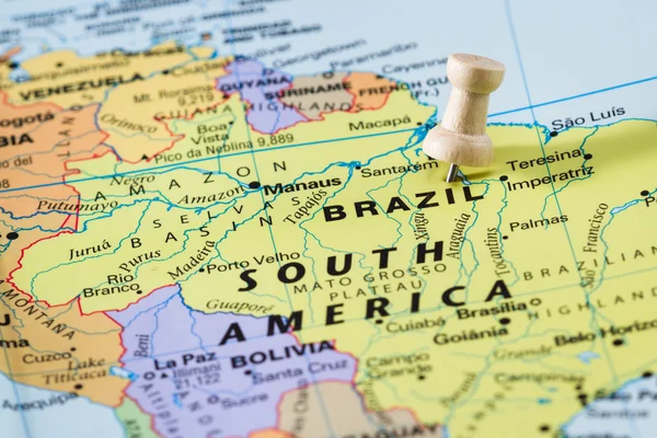
Brazil on a map
Brazil on a map — Stock Photo, Image
The Country of Brazil on a Colorful and Blurry South America Map
The Country of Brazil on a Colorful and Blurry South America Map — Stock Photo, Image
Brazil Map World map News Communication green
Brazil Map World map News Communication green — Stock Photo, Image
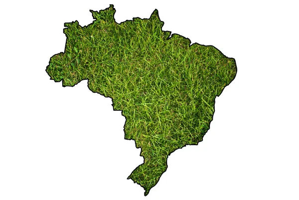
Brazil map symbol from grass.
Brazil map symbol from grass. — Stock Photo, Image
Brazil map card paper 3D natural raster
Brazil map card paper 3D natural raster — Stock Photo, Image
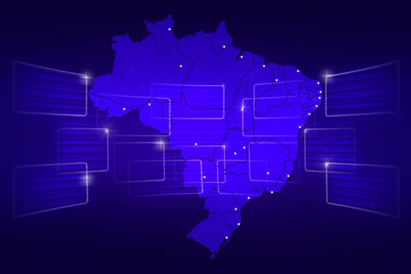
Brazil Map World map News Communication blue
Brazil Map World map News Communication blue — Stock Photo, Image
Three-dimensional map of Brazil.
Three-dimensional map of Brazil. — Stock Photo, Image
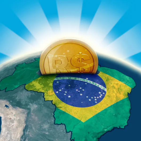
Brazil moneybox
Brazil moneybox — Stock Photo, Image
Realistic Planet Earth with natural water
Realistic Planet Earth with natural water — Stock Photo, Image
Brazil map with drawn lines and blue watercolor illustration
Brazil Map Drawn Lines Blue Watercolor Illustration — Stock Photo, Image
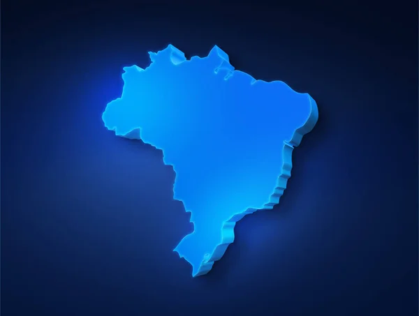
Blue 3D map of Brazil on a dark blue background. 3D illustration of a map of Brazil.
Blue Map Brazil Dark Blue Background Illustration Map Brazil — Stock Photo, Image
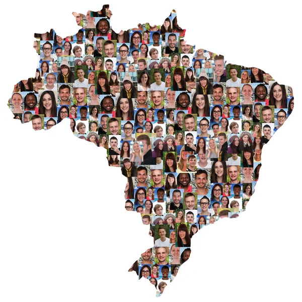
Large group of people forming Brazil map
Large group of people forming Brazil map — Stock Photo, Image
3d cartoon cavman character has made another hash tag internet social media post, 3d illustration
3d cartoon cavman character has made another hash tag internet social media post, 3d illustration — Stock Photo, Image
Brazil on a map
Brazil on a map — Stock Photo, Image
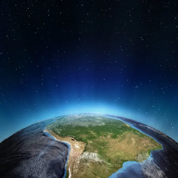
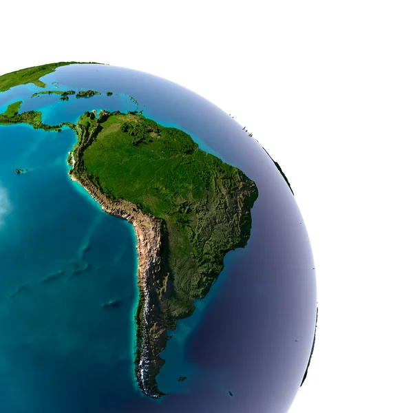
South America - Brazil
South America - Brazil — Stock Photo, Image
South America weather
South America weather — Stock Photo, Image
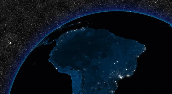
Night in South America
Night in South America — Stock Photo, Image
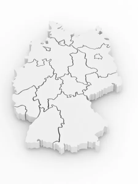
Three-dimensional map of Germany. 3d
Three-dimensional map of Germany. 3d — Stock Photo, Image
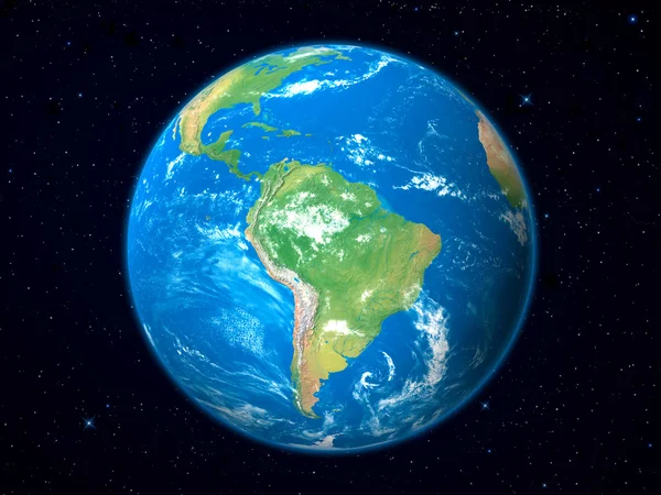
Earth Model from Space: South America View
Earth Model from Space: South America View — Stock Photo, Image
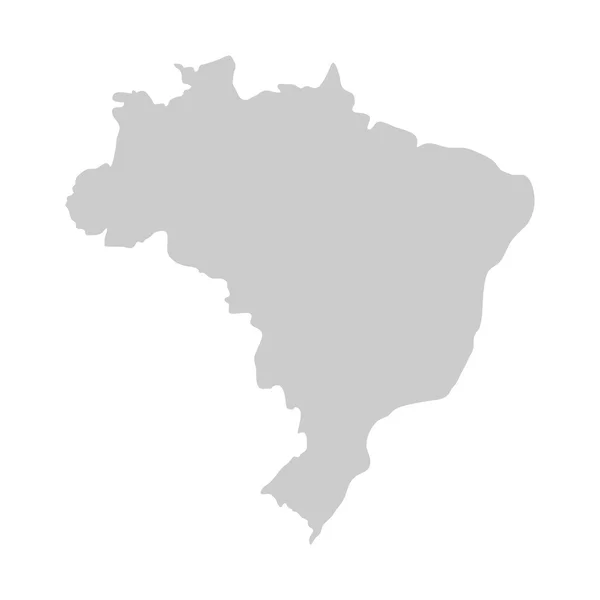
Flat simple Brazil map
Flat simple Brazil map — Stock Photo, Image
Federative Republic of Brazil map
Federative Republic of Brazil map — Stock Photo, Image
Brazilian flag map
Brazilian flag map — Stock Photo, Image
Brazil on globe isolated
Brazil on globe isolated — Stock Photo, Image
South America
South America — Stock Photo, Image
Brazil with flag illustration
Brazil with flag illustration — Stock Photo, Image
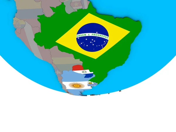
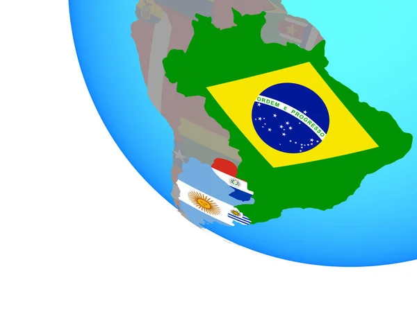
Mercosur memebers with embedded national flags on simple political 3D globe. 3D illustration.
Mercosur Memebers Embedded National Flags Simple Political Globe Illustration — Stock Photo, Image
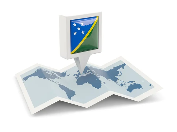
Square pin with flag of solomon islands on the map
Square pin with flag of solomon islands on the map — Stock Photo, Image
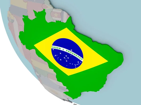
Brazil with flag on globe
Brazil with flag on globe — Stock Photo, Image
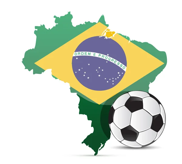
Brazilian flag map and soccer ball isolated
Brazilian flag map and soccer ball isolated — Stock Photo, Image
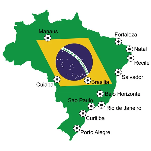
Map Soccer 2014 in Brazil
Map Soccer 2014 in Brazil — Stock Photo, Image
Brazil map, administrative division, separated individual regions, color map isolated on white background blank
Brazil Map Administrative Division Separated Individual Regions Color Map Isolated — Stock Photo, Image
Map of worlds. Brazil.
Map of worlds. Brazil. — Stock Photo, Image
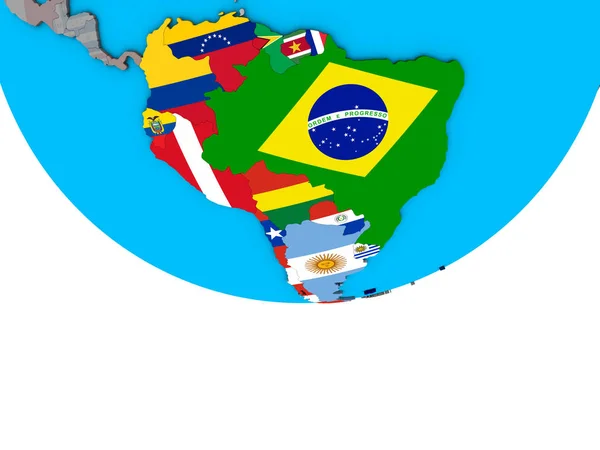
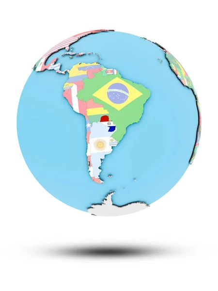
South America with embedded national flags on simple political 3D globe. 3D illustration.
South America Embedded National Flags Simple Political Globe Illustration — Stock Photo, Image
Map of worlds. Brazil.
Map of worlds. Brazil. — Stock Photo, Image
Flag of brazil, vector illustration
Flag Brazil Vector Illustration — Stock Photo, Image
Square pin with flag of brazil on the map
Square pin with flag of brazil on the map — Stock Photo, Image
Illustration of bullet with the colours of the Brazilian flag. Concept illustration of violence and gun use in Brazil against a white background.
Illustration Bullet Colours Brazilian Flag Concept Illustration Violence Gun Use — Stock Photo, Image
Map of Brazil isolated on a white background. 3d rendering
Map Brazil Isolated White Background Rendering — Stock Photo, Image
Golden ball
Golden ball — Stock Photo, Image
Mercosur memebers with national flags on simple globe. 3D illustration.
Mercosur Memebers National Flags Simple Globe Illustration — Stock Photo, Image
Brazil with embedded national flag on blue political 3D globe. 3D illustration isolated on white background.
Brazil Embedded National Flag Blue Political Globe Illustration Isolated White — Stock Photo, Image
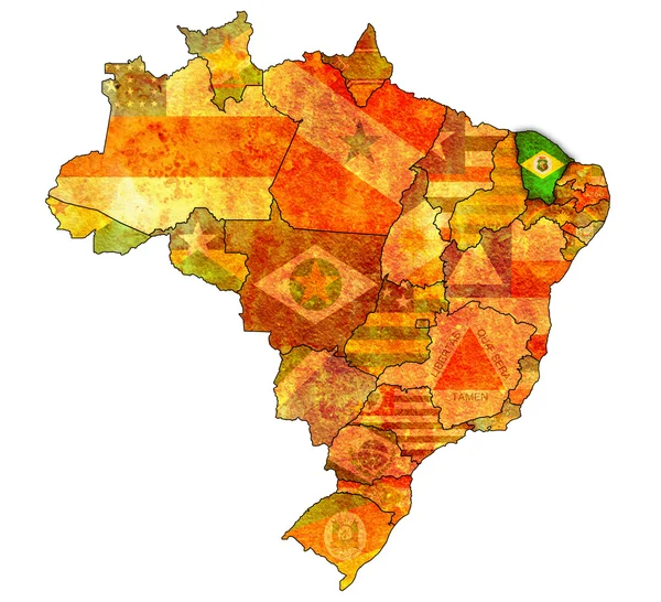
Ceara on map of brazil
Ceara on map of brazil — Stock Photo, Image
Brazil map closeup, 3D rendering
Brazil map closeup, 3D rendering — Stock Photo, Image
Three-dimensional map of Brazil. 3d
Three-dimensional map of Brazil. 3d — Stock Photo, Image
A lot of pieces of puzzle on flag of Brazil
Lot Pieces Puzzle Flag Brazil — Stock Photo, Image
Brazil on map of South America
Brazil on map of South America — Stock Photo, Image
Brazil flag
Brazil flag — Stock Photo, Image
Brazil and Chile Flags on White Background
Brazil Chile Flags White Background — Stock Photo, Image
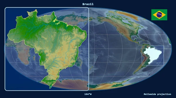
Zoomed-in view of Brazil outline with perspective lines against a global map in the Mollweide projection. Shape on the left side. color physical map
Zoomed View Brazil Outline Perspective Lines Global Map Mollweide Projection — Stock Photo, Image
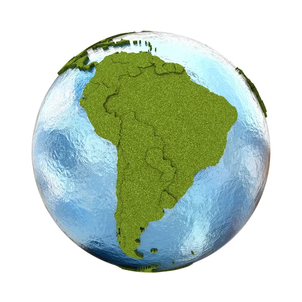
South America on planet Earth
South America on planet Earth — Stock Photo, Image
South America on planet Earth
South America on planet Earth — Stock Photo, Image
Abstract multicolored polygonal mosaic background. Modern geometric triangular pattern. Business design template.
Abstract multicolored polygonal mosaic background. Modern geometric triangular pattern. Business design template. — Stock Photo, Image
Brazil flag on the yellow background
Brazil flag on the yellow background — Stock Photo, Image
Brazilian flag and navy blue-colored map pointer. On White-colored background. Horizontal composition with copy space. Isolated with clipping path.
Brazilian Flag Navy Blue Colored Map Pointer White Colored Background — Stock Photo, Image
Paraguay on political globe with national flags isolated on white background. 3D illustration.
Paraguay Political Globe National Flags Isolated White Background Illustration — Stock Photo, Image
Brazil flag with copy space for your text or images
Brazil Flag Copy Space Your Text Images — Stock Photo, Image
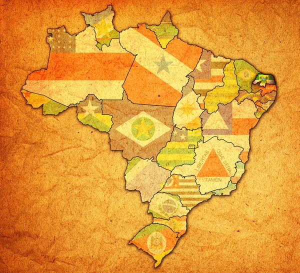
Rio grande do norte on map of brazil
Rio grande do norte on map of brazil — Stock Photo, Image
Brazil map artwork with national colors illustration
Brazil map artwork with national colors illustration — Stock Photo, Image
Marshall Islands and Brazl Flags on White Background
Marshall Islands Brazl Flags White Background — Stock Photo, Image
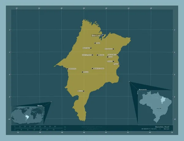
Maranhao, state of Brazil. Solid color shape. Locations and names of major cities of the region. Corner auxiliary location maps
Maranhao State Brazil Solid Color Shape Locations Names Major Cities — Stock Photo, Image
Map of worlds. Brazil.
Map of worlds. Brazil. — Stock Photo, Image
National flag,world and social issues
National Flag World Social Issues — Stock Photo, Image

Related image searches

Find Beautiful Brazil Map Images for Your Next Project

Are you looking for high-quality Brazil map images? Look no further. Our collection of stock images has stunning maps of Brazil that will complement your project. Whether you're creating a website, designing a brochure, or working on a presentation, our map images are perfect for adding a touch of beauty to your work!

Types of Map Images Available

We offer a range of Brazil map images, from detailed maps showing different states and cities to simplified maps showcasing the country's topography. All our images are available in JPG, AI, and EPS file formats. So no matter what editing software you use, our images can be easily integrated into your project.

In addition to standard maps, we also have unique maps that illustrate specific aspects of Brazil, such as its demographics or landmarks. These maps are perfect for academic or research projects, and they give your work a professional and polished look.

Where to Use Brazil Map Images

Brazil map images are an excellent addition to various types of projects. For example, a website showcasing tourism in Brazil can use our maps to highlight different attractions and create a sense of location for visitors. A business presentation about Brazilian industries can use our maps to show the distribution of different sectors geographically. And a brochure advertising a Brazilian product can use our maps to display the origin of the product and give it a sense of authenticity.

Our Brazil map images can also be used for educational materials such as textbooks, quizzes, and posters. They can illustrate the geography, culture, and history of Brazil, making learning more engaging and interactive. Finally, our maps can be used for personal projects such as travel journals, scrapbooks, and home decor.

How to Choose the Right Brazil Map Image

When selecting a Brazil map image, consider the purpose and theme of your project. Do you need a detailed map showing specific regions, or a simplified map showing the country's shape? Do you want to illustrate a specific aspect of Brazil, such as its flora or fauna? Or do you want to showcase a landmark or attraction?

Another important factor to consider is color. Our maps come in different colors and shades, so choose one that matches the color scheme of your project. Also, consider the format of the image. JPG images are easier to use for web projects, while vector images such as AI and EPS are better for print projects as they can be scaled without losing quality.

Overall, use Brazil map images sparingly and strategically. The key is to balance the image with the rest of the content and make it easy for the viewer to understand. Too many images can overwhelm the viewer and distract from the message you're trying to convey.

Conclusion

In conclusion, our collection of Brazil map images is an excellent addition to your project, whether it's for academic, business, or personal use. With our range of images, you're sure to find one that matches your style and purpose. Remember to choose the right image based on your project's theme, purpose, color, and format. We hope you enjoy using our Brazil map images and bring your project to life!