Central europe Stock Photos

100,000 Central europe pictures are available under a royalty-free license

  • Best Match
  • Fresh
  • Popular
1-100 of 100,000
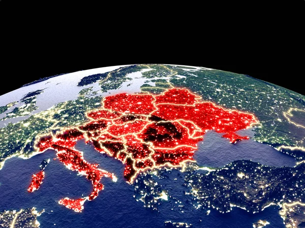
CEI countries from space on planet Earth at night with bright city lights. Detailed plastic planet surface with real mountains. 3D illustration. Elements of this image furnished by NASA.
Cei Countries Space Planet Earth Night Bright City Lights Detailed — Stock Photo, Image
Detailed Earth. Central Europe
Detailed Earth. Central Europe — Stock Photo, Image
Three-dimensional map of Czech.
Three-dimensional map of Czech. — Stock Photo, Image
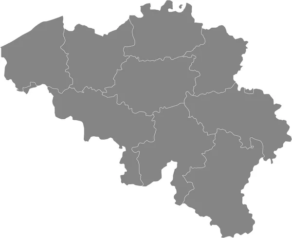
Map of Belgium
Map of Belgium — Stock Photo, Image
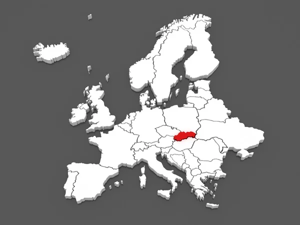
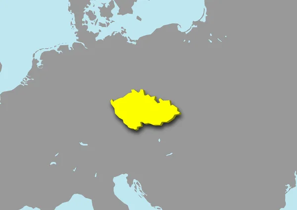
Map of Europe and Czech.
Map of Europe and Czech. — Stock Photo, Image
Flag of Telsiai in Telsiai County in Lithuania
Flag of Telsiai in Telsiai County in Lithuania — Stock Photo, Image
Polygonal Wire Frame Mesh High Resolution Raster Map of Tripura State Abstractions
Polygonal Wire Frame Mesh High Resolution Raster Map of Tripura State Abstractions — Stock Photo, Image
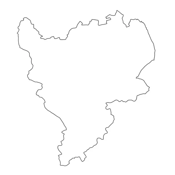
High Quality map of East Midlands England is a region of England, with outline borders
High Quality Map East Midlands England Region England Outline Borders — Stock Photo, Image
Polygonal Network Mesh High Detail Raster Map of Ukraine Abstractions
Polygonal Network Mesh High Detail Raster Map of Ukraine Abstractions — Stock Photo, Image
Territories of regions on map with administrative divisions and borders of Czech Republic with clipping path
Territories Regions Map Administrative Divisions Borders Czech Republic Clipping Path — Stock Photo, Image
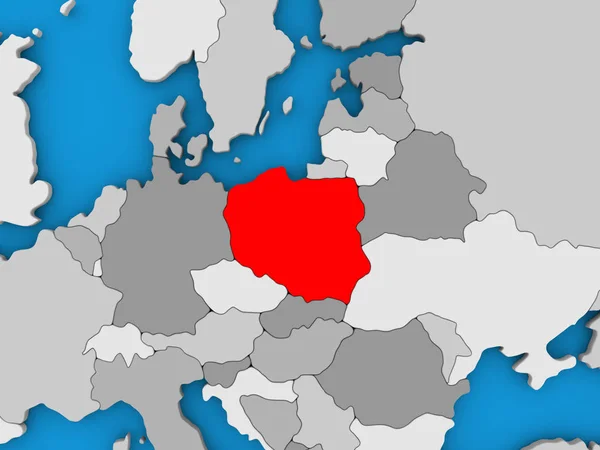
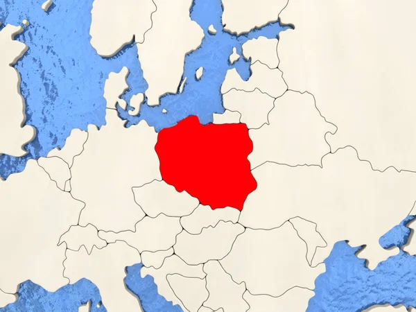
Poland in red on globe
Poland in red on globe — Stock Photo, Image
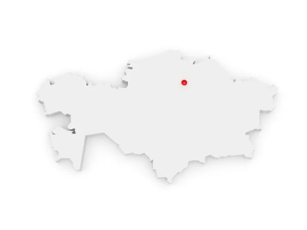
Map of Kazakhstan
Map of Kazakhstan — Stock Photo, Image
New region of France - Alsace, Lorraine
New region of France - Alsace, Lorraine — Stock Photo, Image
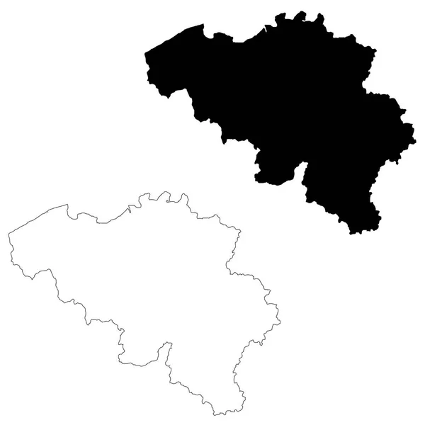
Vector map Belgium. Isolated vector Illustration. Black on White background. EPS 10 Illustration.
Vector Map Belgium Isolated Vector Illustration Black White Background Eps — Stock Photo, Image
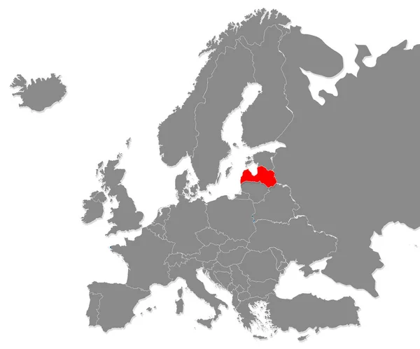
Map of Latvia highligted with red in Europe map. 3d rendering
Map Latvia Highligted Red Europe Map Rendering — Stock Photo, Image
Polygonal 2D Mesh High Detail Raster Map of La Rioja Spanish Province Abstractions
Polygonal 2D Mesh High Detail Raster Map of La Rioja Spanish Province Abstractions — Stock Photo, Image
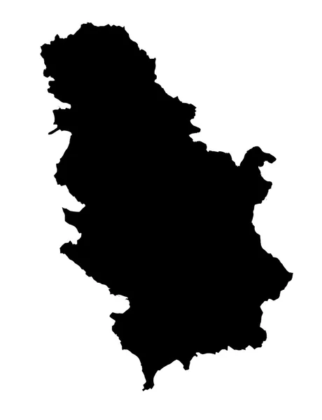
Republic of Serbia
Republic of Serbia — Stock Photo, Image
Polygonal 2D Mesh High Resolution Raster Map of Rondonia State Abstractions
Polygonal 2D Mesh High Resolution Raster Map of Rondonia State Abstractions — Stock Photo, Image
High detailed Outline of the country of Montenegro
High detailed Outline of the country of  Montenegro — Stock Photo, Image
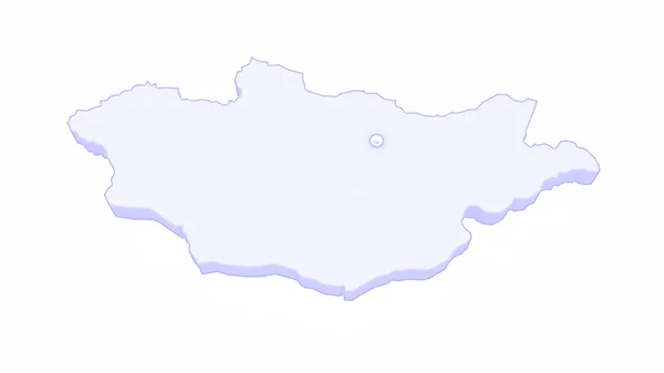
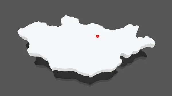
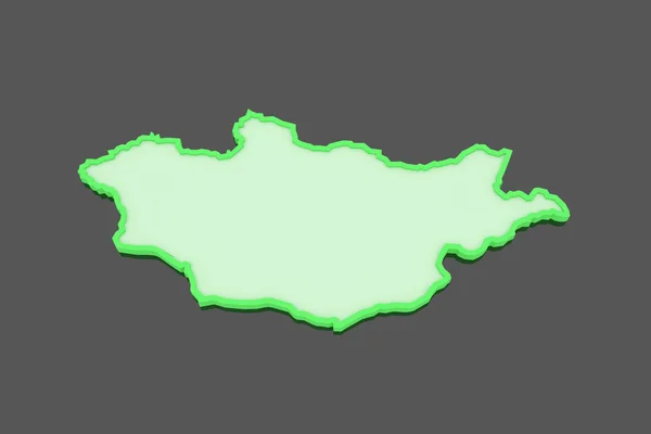
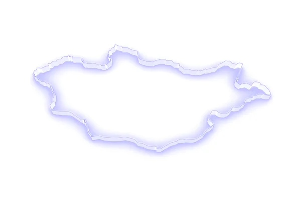
Map of Mongolia
Map of Mongolia — Stock Photo, Image
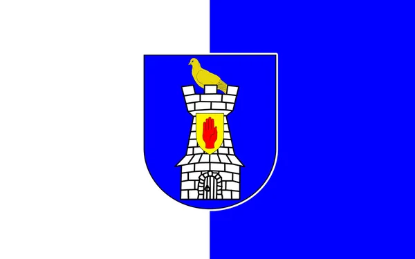
Flag of County Monaghan is a county in Ireland
Flag of County Monaghan is a county in Ireland — Stock Photo, Image
Polygonal Network Mesh High Resolution Raster Map of Guizhou Province Abstractions
Polygonal Network Mesh High Resolution Raster Map of Guizhou Province Abstractions — Stock Photo, Image
Polygonal Carcass Mesh High Resolution Raster Map of Hebei Province Abstractions
Polygonal Carcass Mesh High Resolution Raster Map of Hebei Province Abstractions — Stock Photo, Image
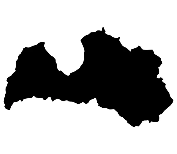
Latvia map on a white background
Latvia map on a white background — Stock Photo, Image
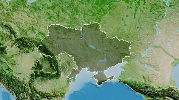
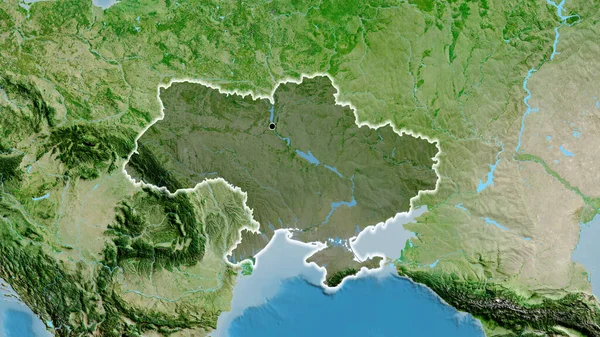
Close-up of the Ukraine border area highlighting with a dark overlay on a satellite map. Capital point. Outline around the country shape.
Close Ukraine Border Area Highlighting Dark Overlay Satellite Map Capital — Stock Photo, Image
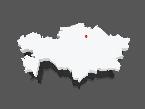
Map of Kazakhstan
Map of Kazakhstan — Stock Photo, Image
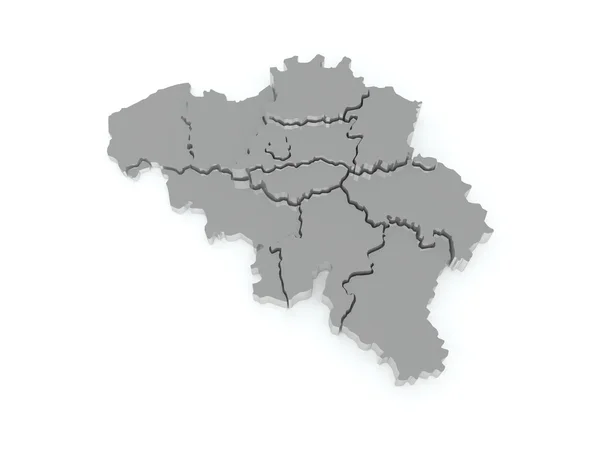
Three-dimensional map of Belgium.
Three-dimensional map of Belgium. — Stock Photo, Image
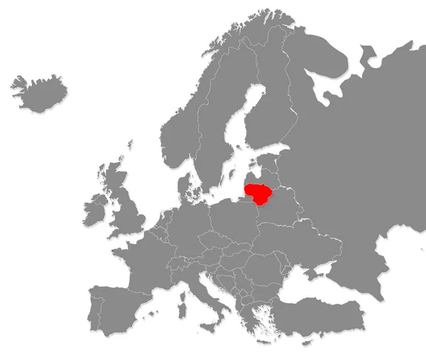
Map of Europe and Lithuania.
Map of Europe and Lithuania. — Stock Photo, Image
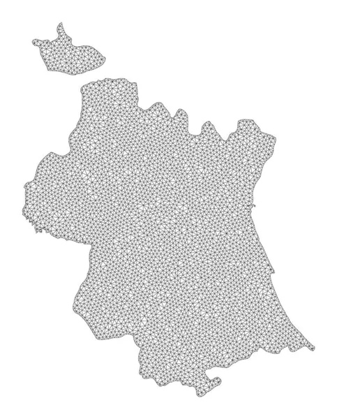
Polygonal Carcass Mesh High Resolution Raster Map of Valencia Province Abstractions
Polygonal Carcass Mesh High Resolution Raster Map of Valencia Province Abstractions — Stock Photo, Image
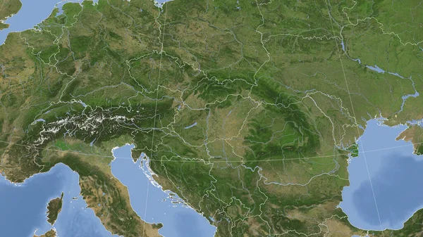
Hungary and its neighborhood. Distant oblique perspective - no outline. satellite imagery
Hungary Its Neighborhood Distant Oblique Perspective Outline Satellite Imagery — Stock Photo, Image
Hungary and its neighborhood. Distant oblique perspective - no outline. satellite imagery
Hungary Its Neighborhood Distant Oblique Perspective Outline Satellite Imagery — Stock Photo, Image
Map of Moravian. Czech Republic.
Map of Moravian. Czech Republic. — Stock Photo, Image
Close-up of the Ukraine border area highlighting with a dark overlay on a satellite map. Capital point. Glow around the country shape.
Close Ukraine Border Area Highlighting Dark Overlay Satellite Map Capital — Stock Photo, Image
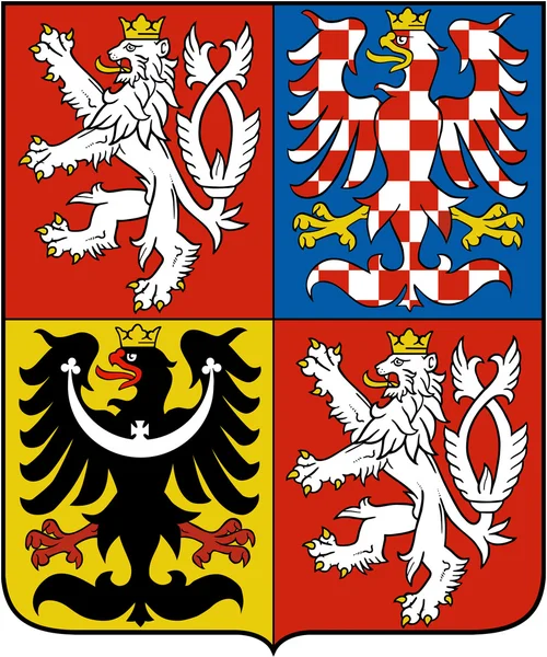
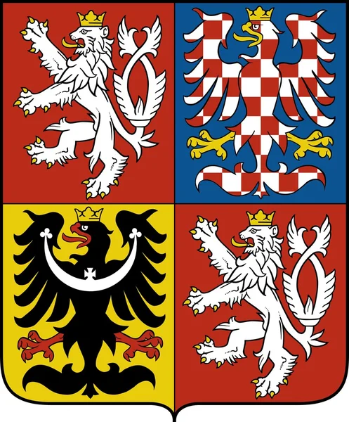
Coat of arms of the Czech Republic
Coat of arms of the Czech Republic — Stock Photo, Image
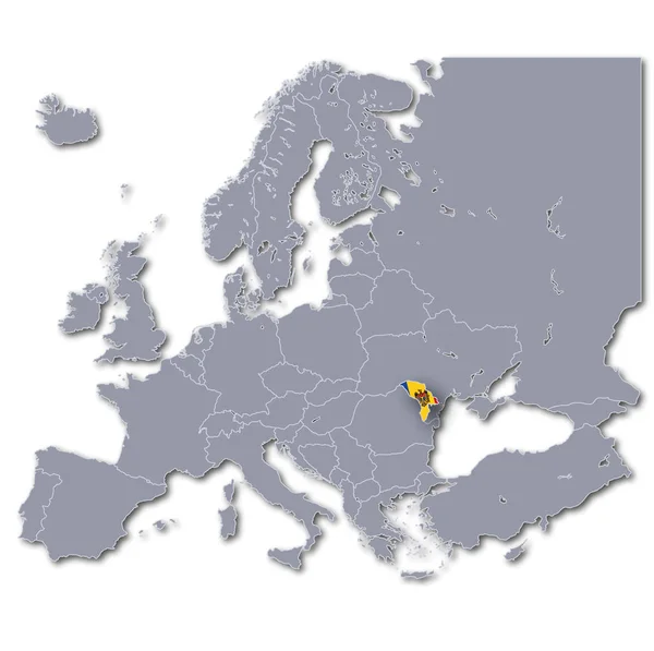
Europe parke with moldova
Europe Parke Moldova — Stock Photo, Image
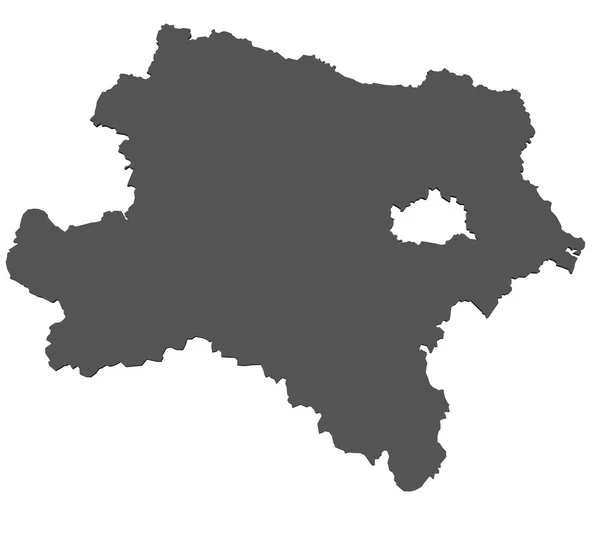
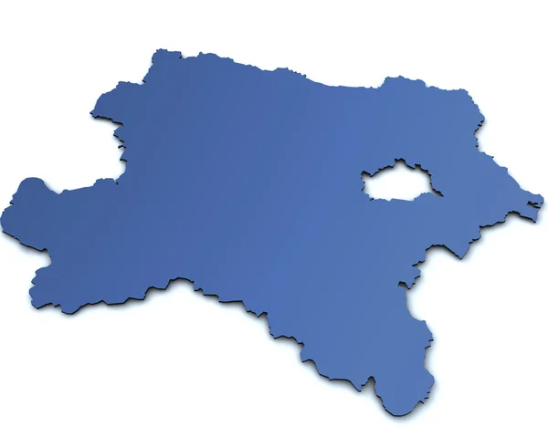
Map of Lower Austria- isolated
Map of Lower Austria- isolated — Stock Photo, Image
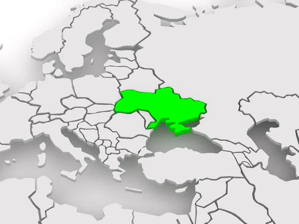
Map of worlds. Ukraine.
Map of worlds. Ukraine. — Stock Photo, Image
Emblem czech republic
Emblem czech republic — Stock Photo, Image
Map of Mongolia.
Map of Mongolia. — Stock Photo, Image
High detailed Outline of the country of Bulgaria
High detailed Outline of the country of  Bulgaria — Stock Photo, Image
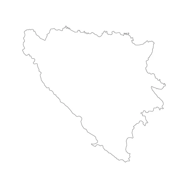
Map Bosnia and Herzegovina. Isolated Illustration. Black on White background.
Map Bosnia Herzegovina Isolated Illustration Black White Background — Stock Photo, Image
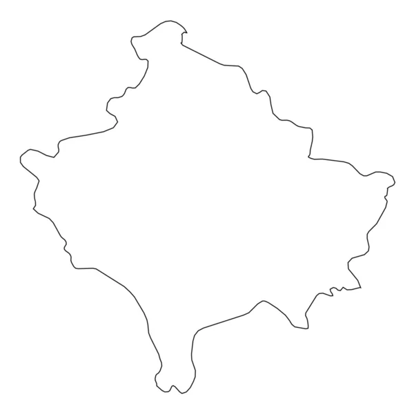
High detailed Outline of the country of Kosovo
High detailed Outline of the country of  Kosovo — Stock Photo, Image
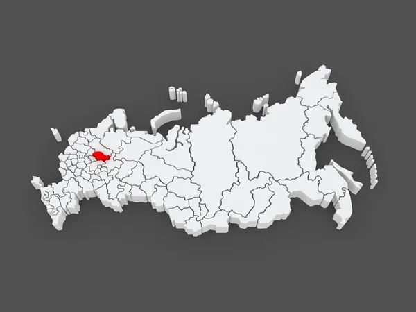
Map of the Russian Federation. Kostroma region.
Map of the Russian Federation. Kostroma region. — Stock Photo, Image
Poland Abstract 3D Map Northern Eastern Europe
Poland Abstract 3D Map Northern Eastern Europe — Stock Photo, Image
Polygonal Network Mesh High Resolution Raster Map of Utrecht Province Abstractions
Polygonal Network Mesh High Resolution Raster Map of Utrecht Province Abstractions — Stock Photo, Image
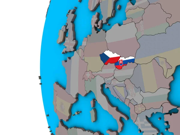
Former Czechoslovakia with national flags on blue political 3D globe. 3D illustration.
Former Czechoslovakia National Flags Blue Political Globe Illustration — Stock Photo, Image
Map of Ukraine. Illustration
Map Ukraine Illustration — Stock Photo, Image
Bulgaria map illustrated on a white background
Bulgaria map illustrated on a white background — Stock Photo, Image
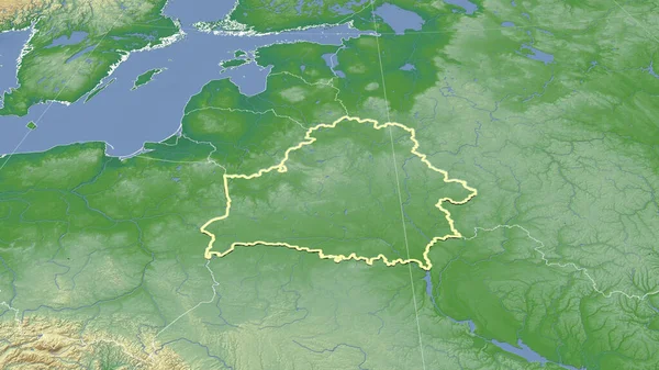
Belarus and its neighborhood. Distant oblique perspective - shape outlined. color physical map
Belarus Its Neighborhood Distant Oblique Perspective Shape Outlined Color Physical — Stock Photo, Image
Flag of Slovakia Torn Paper Scrap Isolated on White Background
Flag of Slovakia Torn Paper Scrap Isolated on White Background — Stock Photo, Image
Slovakia on political 3D globe. 3D illustration.
Slovakia Political Globe Illustration — Stock Photo, Image
Map of Mongolia
Map of Mongolia — Stock Photo, Image
Georgia on elegant globe
Georgia on elegant globe — Stock Photo, Image
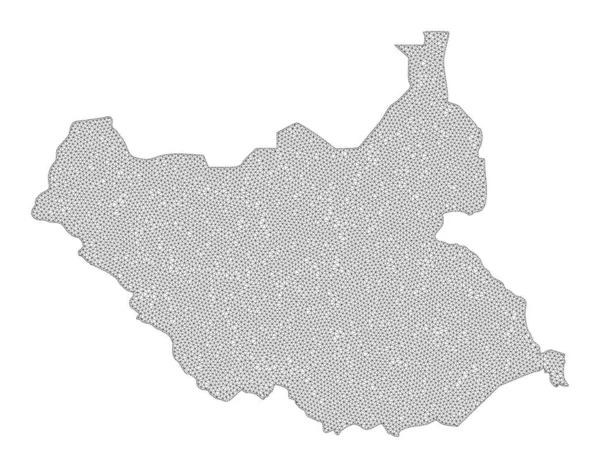
Polygonal Wire Frame Mesh High Resolution Raster Map of South Sudan Abstractions
Polygonal Wire Frame Mesh High Resolution Raster Map of South Sudan Abstractions — Stock Photo, Image
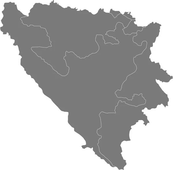
Bosnia and Herzegovina
Bosnia and Herzegovina — Stock Photo, Image
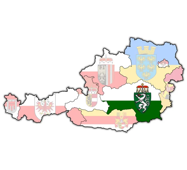
Styria on map of austria
Styria on map of austria — Stock Photo, Image
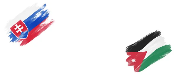
Slovakia and Jordan Flags on White Background
Slovakia Jordan Flags White Background — Stock Photo, Image
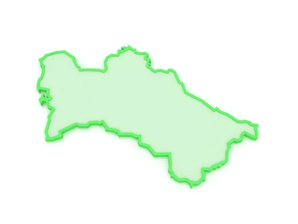
Map of Turkmenistan.
Map of Turkmenistan. — Stock Photo, Image
Map of worlds. Poland.
Map of worlds. Poland. — Stock Photo, Image
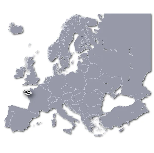
Europe map with brittany
Europe Map Brittany — Stock Photo, Image
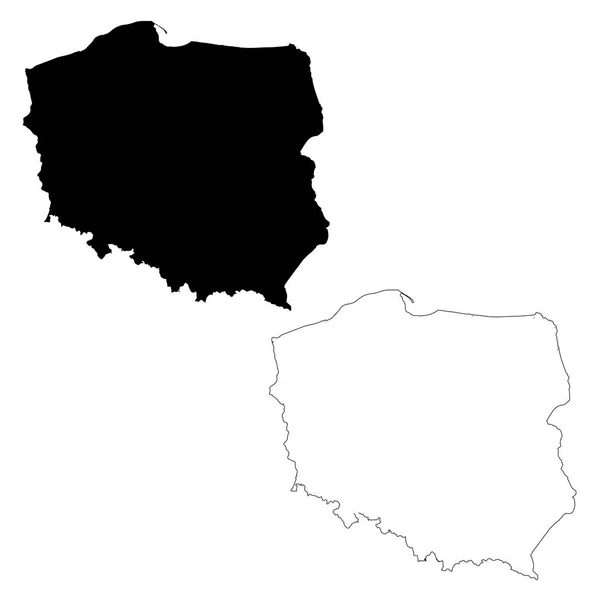
Map Poland. Isolated Illustration. Black on White background.
Map Poland Isolated Illustration Black White Background — Stock Photo, Image
Map of Mongolia.
Map of Mongolia. — Stock Photo, Image
Czech republic on 3D map
Czech republic on 3D map — Stock Photo, Image
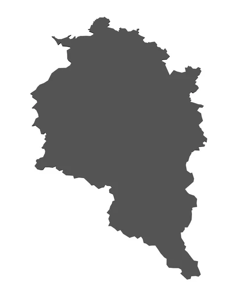
Map of Vorarlberg - isolated
Map of Vorarlberg - isolated — Stock Photo, Image
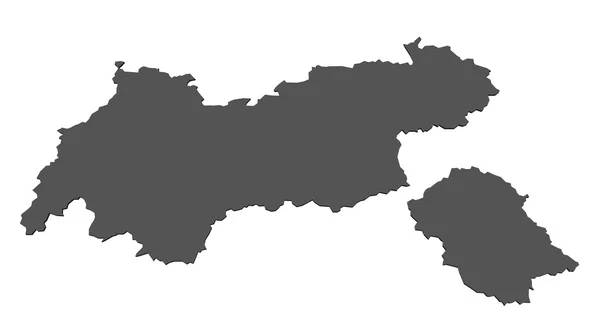
Map of Tyrol- isolated
Map of Tyrol- isolated — Stock Photo, Image
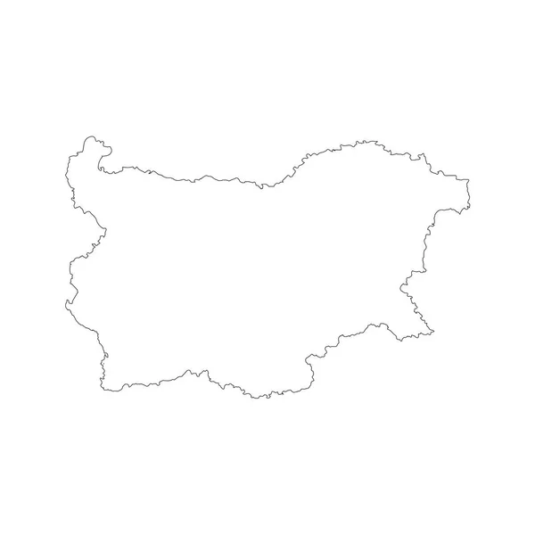
Map Bulgaria. Isolated Illustration. Black on White background.
Map Bulgaria Isolated Illustration Black White Background — Stock Photo, Image
Political map of austria with the several states.
Political Map Austria Several States — Stock Photo, Image
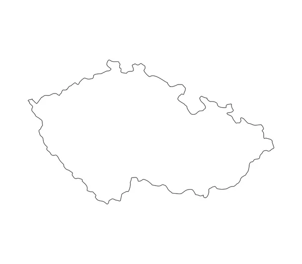
Map of the Czech Republic illustrated on a white background
Map of the Czech Republic illustrated on a white background — Stock Photo, Image
Poland on map
Poland on map — Stock Photo, Image
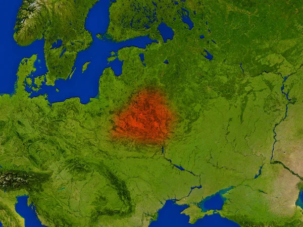
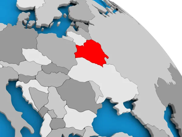
Belarus from space in red
Belarus from space in red — Stock Photo, Image
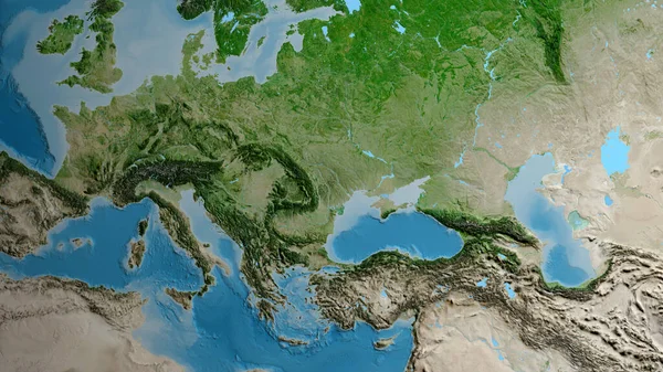
Satellite map centered on Moldova neighborhood area
Satellite Map Centered Moldova Neighborhood Area — Stock Photo, Image
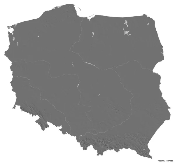
Shape of Poland with its capital isolated on white background. Bilevel elevation map. 3D rendering
Shape Poland Its Capital Isolated White Background Bilevel Elevation Map — Stock Photo, Image
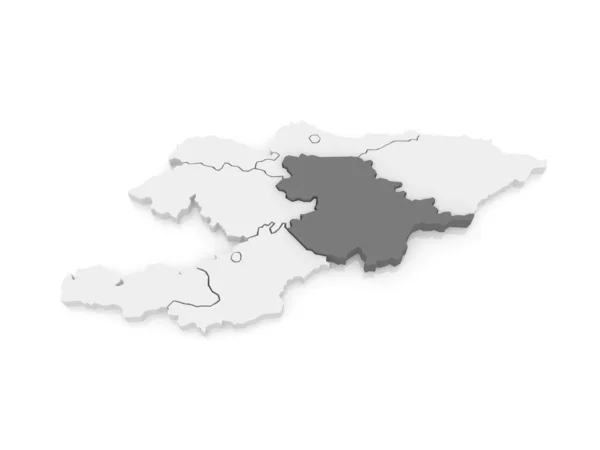
Map of Naryn. Kyrgyzstan.
Map of Naryn. Kyrgyzstan. — Stock Photo, Image
Czechia map 3D illustration. 3D rendering image and part of a series.
Czechia Map Illustration Rendering Image Part Series — Stock Photo, Image
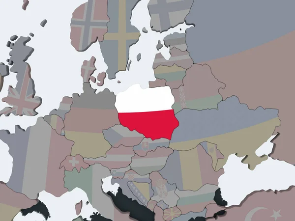
Poland on political globe with embedded flag. 3D illustration.
Poland Political Globe Embedded Flag Illustration — Stock Photo, Image
Map of Hradec Kralove Region. Czech Republic.
Map of Hradec Kralove Region. Czech Republic. — Stock Photo, Image
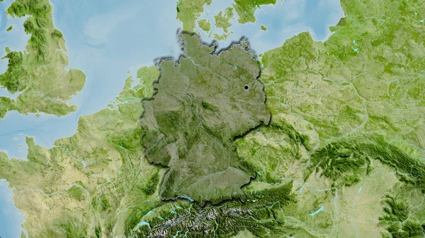
Close-up of the Germany border area highlighting with a dark overlay on a satellite map. Capital point. Bevelled edges of the country shape.
Close Germany Border Area Highlighting Dark Overlay Satellite Map Capital — Stock Photo, Image
Belarus area on the grayscale elevation map in the stereographic projection - raw composition of raster layers with dark glowing outline
Belarus Area Grayscale Elevation Map Stereographic Projection Raw Composition Raster — Stock Photo, Image
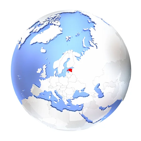
Estonia on metallic globe isolated
Estonia on metallic globe isolated — Stock Photo, Image
Estonia on metallic globe isolated
Estonia on metallic globe isolated — Stock Photo, Image
High detailed Outline of the country of Ukraine
High detailed Outline of the country of  Ukraine — Stock Photo, Image
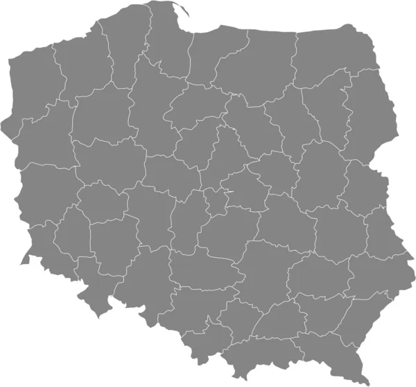
Map of Poland
Map of Poland — Stock Photo, Image
Polygonal Wire Frame Mesh High Detail Raster Map of Almeria Province Abstractions
Polygonal Wire Frame Mesh High Detail Raster Map of Almeria Province Abstractions — Stock Photo, Image
Polygonal Wire Frame Mesh High Resolution Raster Map of Veneto Region Abstractions
Polygonal Wire Frame Mesh High Resolution Raster Map of Veneto Region Abstractions — Stock Photo, Image
Isolated map of Basel Landschaft - Switzerland
Isolated map of Basel Landschaft - Switzerland — Stock Photo, Image
Belarus in red on map
Belarus in red on map — Stock Photo, Image
Republic of Serbia map
Republic of Serbia map — Stock Photo, Image
Polygonal 2D Mesh High Resolution Raster Map of Saxony-Anhalt State Abstractions
Polygonal 2D Mesh High Resolution Raster Map of Saxony-Anhalt State Abstractions — Stock Photo, Image
Map of Lower Austria
Map of Lower Austria — Stock Photo, Image
Map of Dushanbe. Tajikistan.
Map of Dushanbe. Tajikistan. — Stock Photo, Image
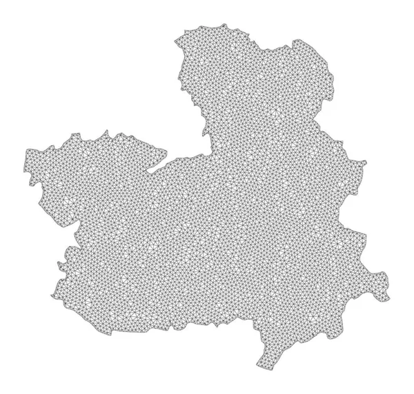
Polygonal Wire Frame Mesh High Resolution Raster Map of Castile-La Mancha Province Abstractions
Polygonal Wire Frame Mesh High Resolution Raster Map of Castile-La Mancha Province Abstractions — Stock Photo, Image
Poland on globe
Poland on globe — Stock Photo, Image
3d map of Czech Republic
3d map of Czech Republic — Stock Photo, Image
Map of Cote d'Ivoire.
Map of Cote d'Ivoire. — Stock Photo, Image
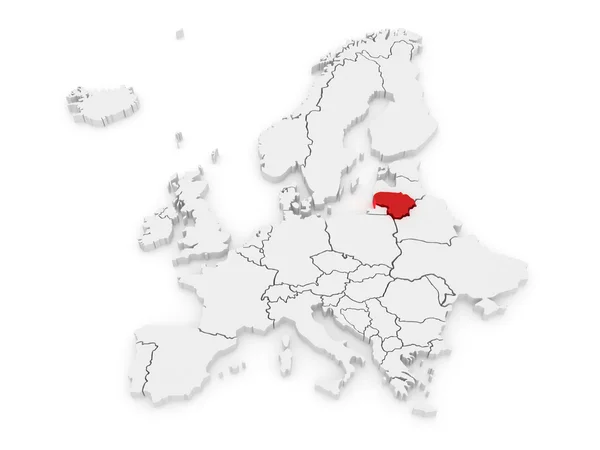
Map of Lithuania highligted with red in Europe map. 3d rendering
Map Lithuania Highligted Red Europe Map Rendering — Stock Photo, Image
Map of Mongolia.
Map of Mongolia. — Stock Photo, Image
Map Czech republic against white background
Map Czech republic against white background — Stock Photo, Image
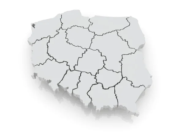
Three-dimensional map of Poland.
Three-dimensional map of Poland. — Stock Photo, Image
CEI countries with national flags on blue political 3D globe. 3D illustration.
Cei Countries National Flags Blue Political Globe Illustration — Stock Photo, Image

Central Europe Images: Finding the Perfect Visuals for Your Projects

Central Europe is a beautiful region filled with diverse landscapes, architecture, and culture. Whether you need images for a website, brochure, or social media post, we have a wide selection of stock images to fit your needs.

Types of Images Available

We have a vast collection of high-quality stock images that cover various subjects related to Central Europe. From stunning landscapes to bustling cityscapes, you can find the perfect visual for your project. Our collection includes:

  • Cityscapes: A wide range of images featuring Central European cityscapes, including Prague, Budapest, Vienna, and other iconic Eastern European cities.
  • Landscapes: Beautiful landscapes of Central Europe, including the mountains, forests, rivers, and lakes that make the region unique.
  • Architecture: Images of historic and modern buildings, including churches, castles, and palaces.
  • Culture: Images showcasing Central European culture, including traditional costumes, festivals, and celebrations.

Where to Use these Images

Our images are versatile and can be used for various projects, including:

  • Website design: Use our images to enhance the aesthetic appeal of your website and give your audience a glimpse of Central European culture and beauty.
  • Social media: Use our images to create eye-catching posts that will keep your followers engaged and entertained.
  • Brochures: Our images will make your brochure stand out and create a lasting impression.
  • Advertising: Incorporate our images into your advertising campaigns to create a unique and memorable message.

Using Images Correctly

It's essential to use images correctly to ensure they are effective and convey the intended message. Here are some tips for using our Central Europe images:

  • Choose the appropriate image for your project. An image that works well for a website may not be an ideal fit for a brochure.
  • Ensure the image is of high quality and resolution. Blurry or pixelated images will detract from the overall quality of your project.
  • Use images legally. Ensure that you have the right to use the image and that all necessary permissions are obtained.
  • Be consistent with your image style. Using images with different styles can create a disjointed and unprofessional look for your project.
  • Consider using text overlays to enhance the message of the image and make it more engaging.

Conclusion

Central Europe is a breathtaking region filled with diverse landscapes, rich culture, and unparalleled beauty. Our collection of stock images offers a glimpse into the unique and fascinating world of Central Europe. Whether you're creating a website, brochure, or social media post, our images are sure to enhance the visual appeal and make a lasting impression. Follow our tips for using images correctly, and you'll be on your way to creating outstanding projects that will captivate your audience.