China map Stock Photos

100,000 China map pictures are available under a royalty-free license

  • Best Match
  • Fresh
  • Popular
1-100 of 100,000
Close up of map with different countries
Close Map Different Countries — Stock Photo, Image
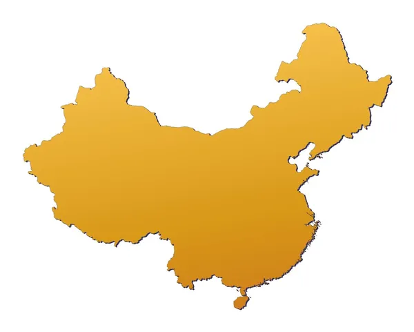
A stylized blank map of China. All isolated on white background.
Stylized Blank Map China All Isolated White Background — Stock Photo, Image
China
China — Stock Photo, Image
Hong Kong city skyline business center with global map visual concept background .
Hong Kong City Skyline Business Center Global Map Visual Concept — Stock Photo, Image
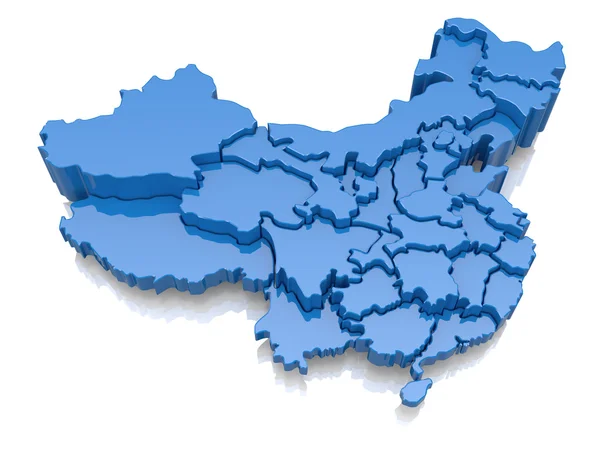
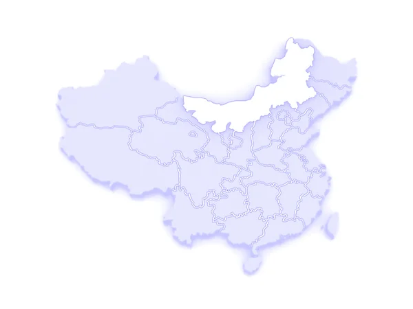
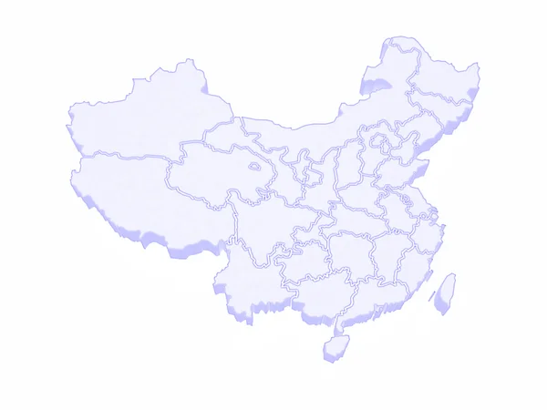
Three-dimensional map of China
Three-dimensional map of China — Stock Photo, Image
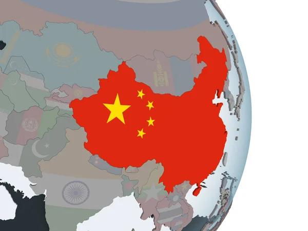
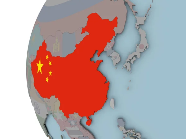
Map of the China on Earth in the national colors
Map of the China on Earth in the national colors — Stock Photo, Image
China
China — Stock Photo, Image
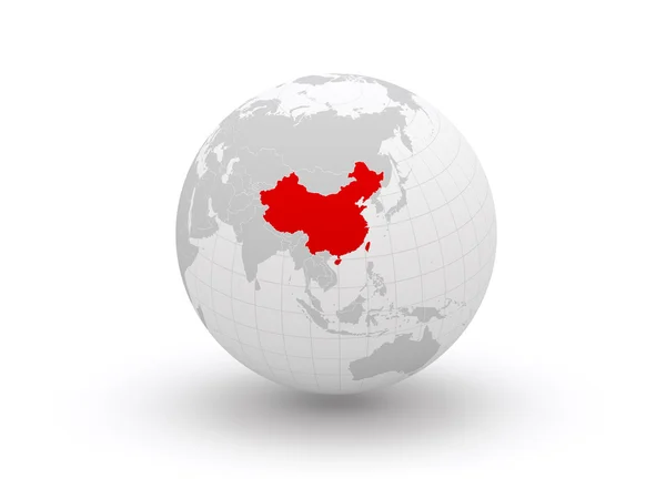
Globe. 3d. China.
Globe. 3d. China. — Stock Photo, Image
Map of the China on Earth in the national colors
Map of the China on Earth in the national colors — Stock Photo, Image
China map
China map — Stock Photo, Image
Celebrating China Independence Day
Celebrating China Independence Day — Stock Photo, Image
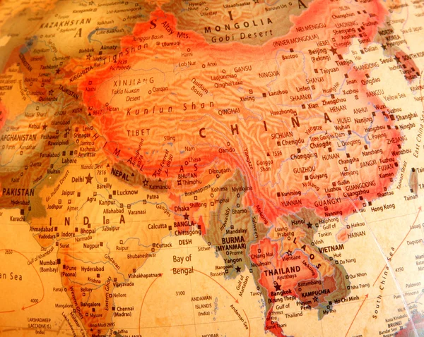
India, China, Thailand on the globe
India, China, Thailand on the globe — Stock Photo, Image
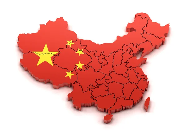
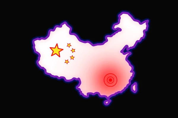
Map of China with provinces and national flag
Map of China with provinces and national flag — Stock Photo, Image
Women looking on map
Women looking on  map — Stock Photo, Image
China Map
China Map — Stock Photo, Image
Flag of China
Flag of China — Stock Photo, Image
China map on vintage crack paper background
China map on vintage crack paper background — Stock Photo, Image
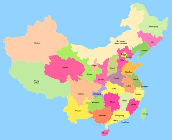
Map of China showing provinces isolate on blue background
Map of China showing provinces isolate on blue background — Stock Photo, Image
China vintage map
China vintage map — Stock Photo, Image
Map of the China on Earth in the national colors
Map of the China on Earth in the national colors — Stock Photo, Image
Travel the world monument concept
Travel the world monument concept — Stock Photo, Image
Main air routes in Asia and the Far East
Main air routes in Asia and the Far East — Stock Photo, Image
Main air routes in Asia
Main air routes in Asia — Stock Photo, Image
Superhero Businessman Chinese
Superhero Businessman Chinese — Stock Photo, Image
Map of China
Map of China — Stock Photo, Image
China 3d Golden Map
China 3d Golden Map — Stock Photo, Image
Country Shape isolated on background of the country of China
Country Shape isolated on background of the country of China — Stock Photo, Image
Country Shape isolated on chalk board with the name and shape of
Country Shape isolated on chalk board with the name and shape of — Stock Photo, Image
China - Hand-Drawn Map lllustration
China Hand Drawn Map Lllustration — Stock Photo, Image
Black map of China and red flag isolated on white background. Chinese map and flag. Chinese national symbols. Geographical silhouette of map of China
Black Map China Red Flag Isolated White Background Chinese Map — Stock Photo, Image
China flag on map, transparent background, Clipping path
China Flag Map Transparent Background Clipping Path — Stock Photo, Image
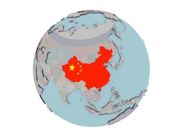
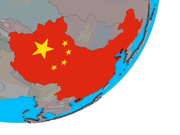
China with national flag on blue political 3D globe. 3D illustration.
China National Flag Blue Political Globe Illustration — Stock Photo, Image
Scribbled Shape of the Country of China
Scribbled Shape of the Country of China — Stock Photo, Image
Scribbled Shape of the Country of China
Scribbled Shape of the Country of China — Stock Photo, Image
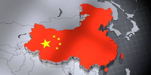
People Republic of China - borders and flag - 3D illustration
People Republic China Borders Flag Illustration — Stock Photo, Image
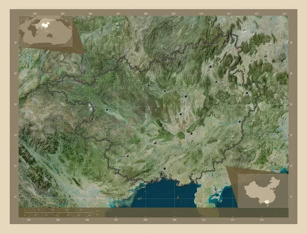
Guangxi, autonomous region of China. High resolution satellite map. Locations of major cities of the region. Corner auxiliary location maps
Guangxi Autonomous Region China High Resolution Satellite Map Locations Major — Stock Photo, Image
Red map with fast moving black network of connected points on white background. spreading communication and inormation network concept.
Red Map Fast Moving Black Network Connected Points White Background — Stock Photo, Image
Global with data of biohardzard coronavirus crisis outbreak in wuhan china network futuristic 3d illustration flag background
Global Data Biohardzard Coronavirus Crisis Outbreak Wuhan China Network Futuristic — Stock Photo, Image
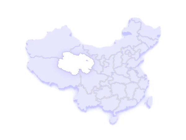
Map of Qinghai. China.
Map of Qinghai. China. — Stock Photo, Image
Map China. Isolated Illustration. Black on White background.
Map China Isolated Illustration Black White Background — Stock Photo, Image
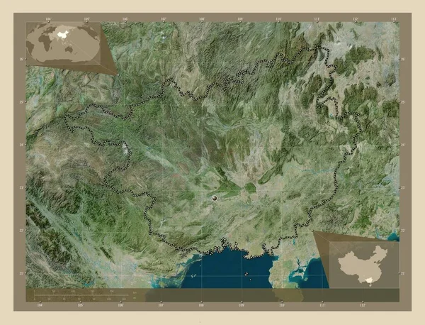
Guangxi, autonomous region of China. High resolution satellite map. Corner auxiliary location maps
Guangxi Autonomous Region China High Resolution Satellite Map Corner Auxiliary — Stock Photo, Image
Map of China.
Map of China. — Stock Photo, Image
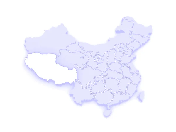
Map of Tibet. China.
Map of Tibet. China. — Stock Photo, Image
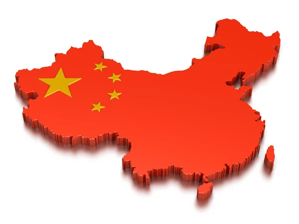
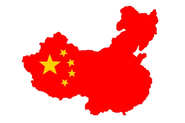
S Republic of China map with flag on a white background
S Republic of China map with flag on a white background — Stock Photo, Image
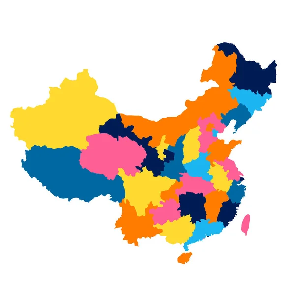
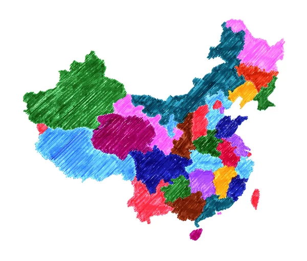
Map of administrative division of China regions of different colors
Map Administrative Division China Regions Different Colors — Stock Photo, Image
Map of China.
Map of China. — Stock Photo, Image
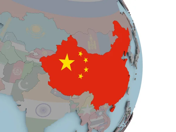
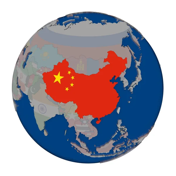
China with embedded national flag on political globe. 3D illustration.
China Embedded National Flag Political Globe Illustration — Stock Photo, Image
Map of Xinjiang Uygur. China.
Map of Xinjiang Uygur. China. — Stock Photo, Image
China on shiny globe with water
China on shiny globe with water — Stock Photo, Image
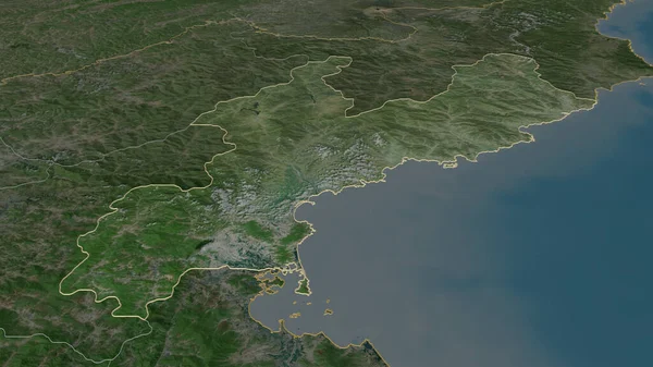
Zoom in on Hamgyong-namdo (province of North Korea) outlined. Oblique perspective. Satellite imagery. 3D rendering
Zoom Hamgyong Namdo Province North Korea Outlined Oblique Perspective Satellite — Stock Photo, Image
China vs Russia concept illustration for news in politics
China vs Russia concept illustration for news in politics — Stock Photo, Image
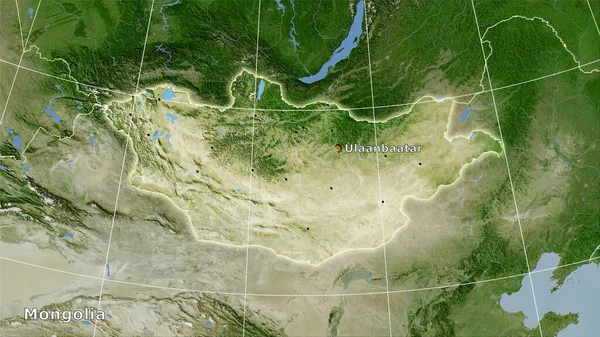
Mongolia area on the satellite B map in the stereographic projection - main composition
Mongolia Area Satellite Map Stereographic Projection Main Composition — Stock Photo, Image
China on political globe with embedded flag. 3D illustration.
China Political Globe Embedded Flag Illustration — Stock Photo, Image
Map of the country of China
Map of the country of China — Stock Photo, Image
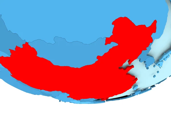
China in red on blue map
China in red on blue map — Stock Photo, Image
Map of China on old linen
Map of China on old linen — Stock Photo, Image
Map of Inner Mongolia. China.
Map of Inner Mongolia. China. — Stock Photo, Image
China in red on grey political globe with transparent oceans. 3D illustration.
China Red Grey Political Globe Transparent Oceans Illustration — Stock Photo, Image
China Black Silhouette Map Outline Isolated on White 3D Illustration
China Black Silhouette Map Outline Isolated on White 3D Illustration — Stock Photo, Image
Flag of China on political globe
Flag of China on political globe — Stock Photo, Image
Flag of China on political globe
Flag of China on political globe — Stock Photo, Image
Map of China.
Map of China. — Stock Photo, Image
Map of china on white background
Map of china on white background — Stock Photo, Image
Flag Map of China. 3D rendering China map and flag on Asia map.
Flag Map of China. 3D rendering China map and flag on Asia map. — Stock Photo, Image
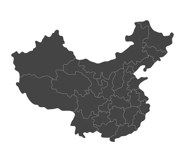
Map of China with regions illustrated
Map of China with regions illustrated — Stock Photo, Image
Country on the map of the People's Republic of China and the inscription 2019-nCoV , black background Concept of the new coronavirus 2019
Country Map People Republic China Inscription 2019 Ncov Black Background — Stock Photo, Image
Country Shape isolated on background of the country of China
Country Shape isolated on background of the country of China — Stock Photo, Image
Country Shape isolated on chalk board with the name and shape of
Country Shape isolated on chalk board with the name and shape of — Stock Photo, Image
USA Map
USA Map — Stock Photo, Image
China on globe
China on globe — Stock Photo, Image
China map
China map — Stock Photo, Image
China with embedded flag on political globe. 3D illustration.
China Embedded Flag Political Globe Illustration — Stock Photo, Image
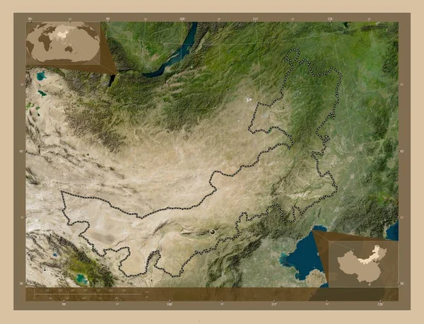
Nei Mongol, autonomous region of China. Low resolution satellite map. Corner auxiliary location maps
Nei Mongol Autonomous Region China Low Resolution Satellite Map Corner — Stock Photo, Image
Squared Background with the country shape of China
Squared Background with the country shape of China — Stock Photo, Image
Polygonal Network Mesh High Detail Raster Map of China Abstractions
Polygonal Network Mesh High Detail Raster Map of China Abstractions — Stock Photo, Image
Map of China.
Map of China. — Stock Photo, Image
China on political globe
China on political globe — Stock Photo, Image
China on political globe with embedded flag. 3D illustration.
China Political Globe Embedded Flag Illustration — Stock Photo, Image
3d map of China
3d map of China — Stock Photo, Image
Blue shape with name of the country of China
Blue shape with name of the country of China — Stock Photo, Image
Map of the country of China
Map of the country of China — Stock Photo, Image
Guangxi, autonomous region of China. High resolution satellite map. Locations and names of major cities of the region. Corner auxiliary location maps
Guangxi Autonomous Region China High Resolution Satellite Map Locations Names — Stock Photo, Image
China - Old paper with handwriting
China - Old paper with handwriting — Stock Photo, Image
3D pinpoint with flag of China isolated on white
3D pinpoint with flag of China isolated on white — Stock Photo, Image
Map of the country of China
Map of the country of China — Stock Photo, Image
China map
China map — Stock Photo, Image
Fujian - province of China zoomed and highlighted. Satellite imagery. 3D rendering
Fujian Province China Zoomed Highlighted Satellite Imagery Rendering — Stock Photo, Image
Map of China.
Map of China. — Stock Photo, Image
3D map on blue water background of China
3D map on blue water background of China — Stock Photo, Image
Map of China, financial success, economy growth
Map China Financial Success Economy Growth — Stock Photo, Image
Map of China on grey political globe
Map of China on grey political globe — Stock Photo, Image
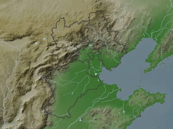
Hebei, province of China. Elevation map colored in wiki style with lakes and rivers
Hebei Province China Elevation Map Colored Wiki Style Lakes Rivers — Stock Photo, Image
China with flag on globe
China with flag on globe — Stock Photo, Image
Administrative map of China isolated on white
Administrative map of China isolated on white — Stock Photo, Image
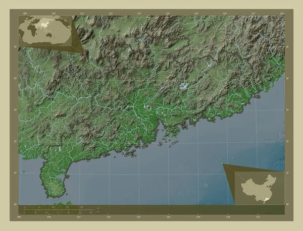
Guangdong, province of China. Elevation map colored in wiki style with lakes and rivers. Corner auxiliary location maps
Guangdong Province China Elevation Map Colored Wiki Style Lakes Rivers — Stock Photo, Image

Discover Eye-catching China Map Images for Your Project

When it comes to finding the perfect visual for a project, choosing the right image is crucial. If you're looking for stunning China map images, look no further. Our stock images collection offers an array of eye-catching images that can be used in various projects.

What types of images are available?

Our collection of China map images offers a diverse range of files that can be used for various purposes. Whether you're creating a brochure, designing a website, or crafting an advertisement, you'll find the perfect image to suit your needs. We offer JPG, AI, and EPS file formats, ensuring you can quickly and easily use the image in your chosen software.

What are some practical tips for using China map images?

When using stock images, it's essential to ensure that they are used in a way that impacts your audience positively. With China map images, there are a few things to consider. It's essential to take note of the color schemes of your chosen image. If your project has a blue color scheme, choose an image that features a blue background.

Another crucial factor to consider is the resolution. For printed materials, it's essential to choose an image with high-resolution to ensure a quality result. Be sure to check the image of choice's resolution before finalizing your project.

Where can China map images be used?

China map images can be used in a variety of projects, from travel guides to infographics, business cards to posters. They can also be used in educational materials or webpages that require visual information for the map of China. Maps are a versatile image, adaptable to different projects and industries.

What are the additional keywords and phrases related to China map images?

If you're searching for the perfect image, some relevant keywords to consider include travel, geography, tourism, culture, and business. These and similar keywords will help you find images that are perfect for your project and communicate certain themes alongside the famous China map.
Bring your project to life with China map images

With our collection of China map images, you can easily and quickly make your project stand out. Whether you're looking to inspire wanderlust or encourage business in China, these images have you covered. Choose the right image for your project, and watch your visual media come to life.