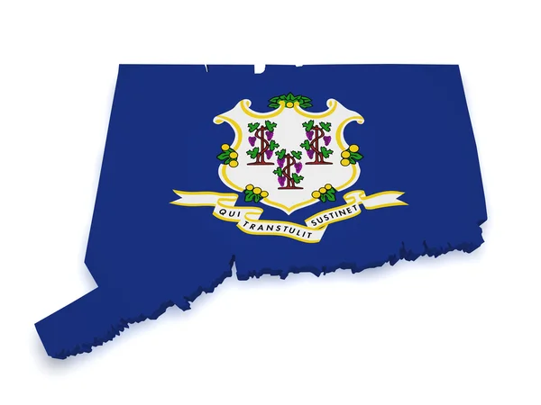
Connecticut Map 3d Shape
Connecticut Map 3d Shape — Stock Photo, Image
Map of Connecticut, Polygonal mesh line map, blue map on dark background
Map Connecticut Polygonal Mesh Line Map Blue Map Dark Background — Stock Photo, Image
State of Connecticut map
State of Connecticut map — Stock Photo, Image
Three-dimensional map of Finland.
Three-dimensional map of Finland. — Stock Photo, Image
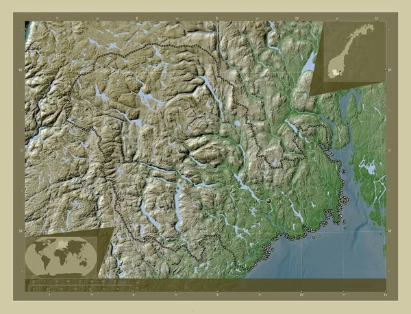
Vestfold og Telemark, county of Norway. Elevation map colored in wiki style with lakes and rivers. Corner auxiliary location maps
Vestfold Telemark County Norway Elevation Map Colored Wiki Style Lakes — Stock Photo, Image
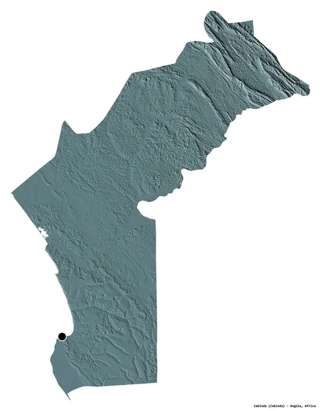
Shape of Cabinda, province of Angola, with its capital isolated on white background. Colored elevation map. 3D rendering
Shape Cabinda Province Angola Its Capital Isolated White Background Colored — Stock Photo, Image
Kirundo, province of Burundi. Low resolution satellite map. Corner auxiliary location maps
Kirundo Province Burundi Low Resolution Satellite Map Corner Auxiliary Location — Stock Photo, Image
Kirundo, province of Burundi. Low resolution satellite map. Locations of major cities of the region. Corner auxiliary location maps
Kirundo Province Burundi Low Resolution Satellite Map Locations Major Cities — Stock Photo, Image
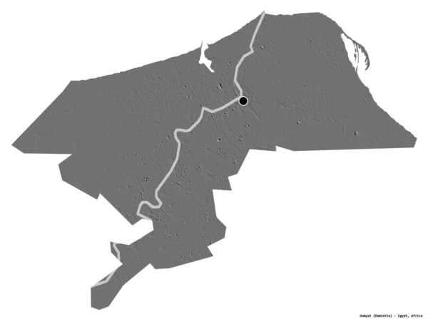
Shape of Dumyat, governorate of Egypt, with its capital isolated on white background. Bilevel elevation map. 3D rendering
Shape Dumyat Governorate Egypt Its Capital Isolated White Background Bilevel — Stock Photo, Image
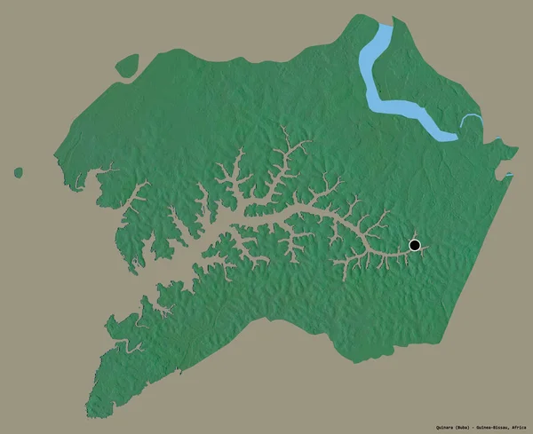
Shape of Quinara, region of Guinea-Bissau, with its capital isolated on a solid color background. Topographic relief map. 3D rendering
Shape Quinara Region Guinea Bissau Its Capital Isolated Solid Color — Stock Photo, Image
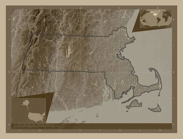
Massachusetts, state of United States of America. Elevation map colored in sepia tones with lakes and rivers. Corner auxiliary location maps
Massachusetts State United States America Elevation Map Colored Sepia Tones — Stock Photo, Image
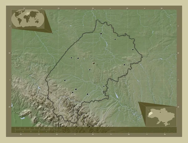
L'viv, region of Ukraine. Elevation map colored in wiki style with lakes and rivers. Locations of major cities of the region. Corner auxiliary location maps
Viv Region Ukraine Elevation Map Colored Wiki Style Lakes Rivers — Stock Photo, Image
Southern Savonia, region of Finland. Colored elevation map with lakes and rivers. Locations of major cities of the region. Corner auxiliary location maps
Southern Savonia Region Finland Colored Elevation Map Lakes Rivers Locations — Stock Photo, Image
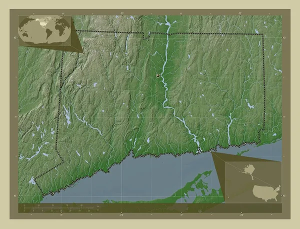
Connecticut, state of United States of America. Elevation map colored in wiki style with lakes and rivers. Corner auxiliary location maps
Connecticut State United States America Elevation Map Colored Wiki Style — Stock Photo, Image
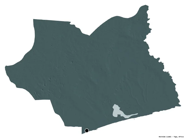
Shape of Maritime, region of Togo, with its capital isolated on a solid color background. Topographic relief map. 3D rendering
Shape Maritime Region Togo Its Capital Isolated Solid Color Background — Stock Photo, Image
High detailed Outline of the country of Djibouti
High detailed Outline of the country of  Djibouti — Stock Photo, Image
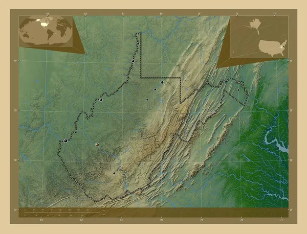
West Virginia, state of United States of America. Colored elevation map with lakes and rivers. Locations of major cities of the region. Corner auxiliary location maps
West Virginia State United States America Colored Elevation Map Lakes — Stock Photo, Image
Map of Mozambique.
Map of Mozambique. — Stock Photo, Image
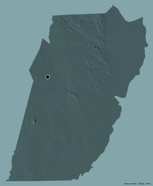
Shape of Balaka, district of Malawi, with its capital isolated on a solid color background. Colored elevation map. 3D rendering
Shape Balaka District Malawi Its Capital Isolated Solid Color Background — Stock Photo, Image
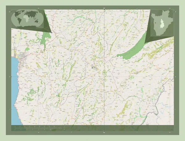
Gitega, province of Burundi. Open Street Map. Locations of major cities of the region. Corner auxiliary location maps
Gitega Province Burundi Open Street Map Locations Major Cities Region — Stock Photo, Image
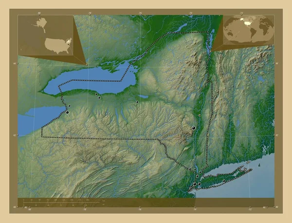
New York, state of United States of America. Colored elevation map with lakes and rivers. Locations of major cities of the region. Corner auxiliary location maps
New York State United States America Colored Elevation Map Lakes — Stock Photo, Image
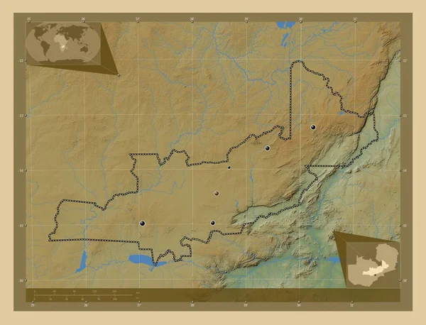
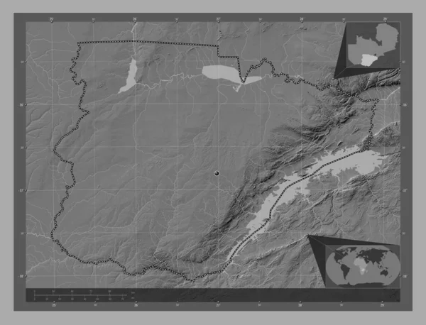
Central, region of Zambia. Colored elevation map with lakes and rivers. Locations of major cities of the region. Corner auxiliary location maps
Central Region Zambia Colored Elevation Map Lakes Rivers Locations Major — Stock Photo, Image
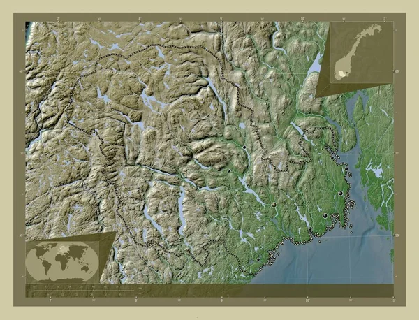
Vestfold og Telemark, county of Norway. Elevation map colored in wiki style with lakes and rivers. Locations of major cities of the region. Corner auxiliary location maps
Vestfold Telemark County Norway Elevation Map Colored Wiki Style Lakes — Stock Photo, Image
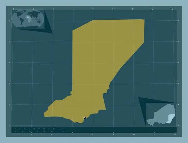
Diffa, department of Niger. Solid color shape. Corner auxiliary location maps
Diffa Department Niger Solid Color Shape Corner Auxiliary Location Maps — Stock Photo, Image
Map of Senegal.
Map of Senegal. — Stock Photo, Image
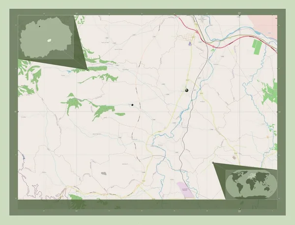
Rosoman, municipality of Macedonia. Open Street Map. Locations of major cities of the region. Corner auxiliary location maps
Rosoman Municipality Macedonia Open Street Map Locations Major Cities Region — Stock Photo, Image
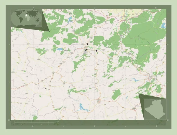
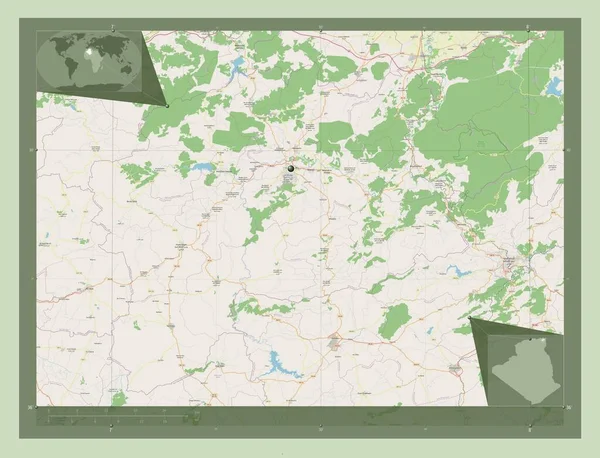
Guelma, province of Algeria. Open Street Map. Locations of major cities of the region. Corner auxiliary location maps
Guelma Province Algeria Open Street Map Locations Major Cities Region — Stock Photo, Image
Map of Botswana.
Map of Botswana. — Stock Photo, Image
Map of Togo.
Map of Togo. — Stock Photo, Image
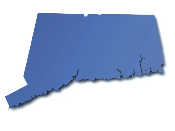
Map of Connecticut - USA
Map of Connecticut - USA — Stock Photo, Image
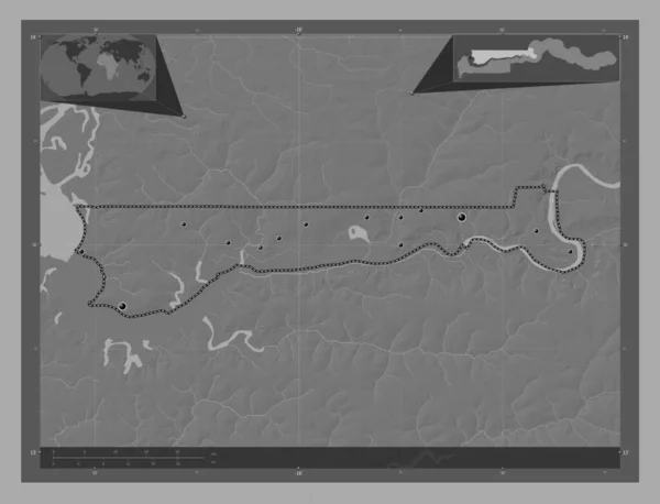
North Bank, division of Gambia. Bilevel elevation map with lakes and rivers. Locations of major cities of the region. Corner auxiliary location maps
North Bank Division Gambia Bilevel Elevation Map Lakes Rivers Locations — Stock Photo, Image
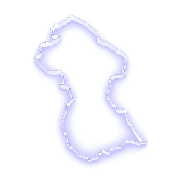
Map of Guyana
Map of Guyana — Stock Photo, Image
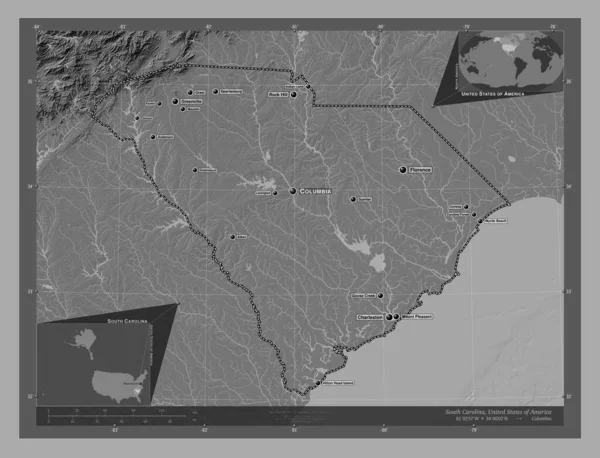
South Carolina, state of United States of America. Bilevel elevation map with lakes and rivers. Locations and names of major cities of the region. Corner auxiliary location maps
South Carolina State United States America Bilevel Elevation Map Lakes — Stock Photo, Image
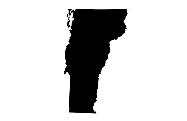
State of Vermont
State of Vermont — Stock Photo, Image
Gitega, province of Burundi. Open Street Map. Corner auxiliary location maps
Gitega Province Burundi Open Street Map Corner Auxiliary Location Maps — Stock Photo, Image
Map of Chad.
Map of Chad. — Stock Photo, Image
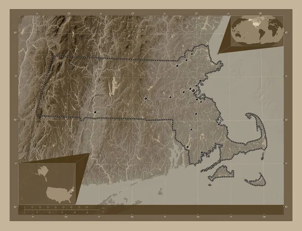
Massachusetts, state of United States of America. Elevation map colored in sepia tones with lakes and rivers. Locations of major cities of the region. Corner auxiliary location maps
Massachusetts State United States America Elevation Map Colored Sepia Tones — Stock Photo, Image
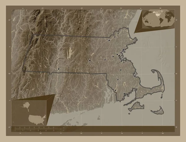
Massachusetts, state of United States of America. Elevation map colored in sepia tones with lakes and rivers. Locations of major cities of the region. Corner auxiliary location maps
Massachusetts State United States America Elevation Map Colored Sepia Tones — Stock Photo, Image
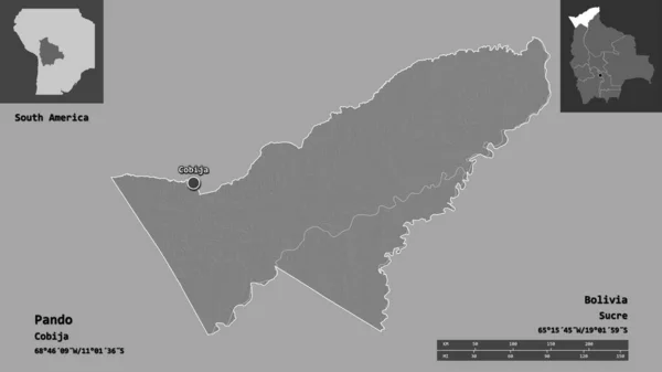
Shape of Pando, department of Bolivia, and its capital. Distance scale, previews and labels. Bilevel elevation map. 3D rendering
Shape Pando Department Bolivia Its Capital Distance Scale Previews Labels — Stock Photo, Image
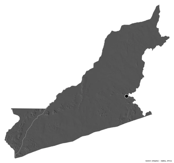
Shape of Eastern, province of Zambia, with its capital isolated on white background. Bilevel elevation map. 3D rendering
Shape Eastern Province Zambia Its Capital Isolated White Background Bilevel — Stock Photo, Image
Guelma, province of Algeria. Open Street Map. Corner auxiliary location maps
Guelma Province Algeria Open Street Map Corner Auxiliary Location Maps — Stock Photo, Image
Polygonal Carcass Mesh High Resolution Raster Map of Cameroon Abstractions
Polygonal Carcass Mesh High Resolution Raster Map of Cameroon Abstractions — Stock Photo, Image
Polygonal Network Mesh High Resolution Raster Map of Gotland Island Abstractions
Polygonal Network Mesh High Resolution Raster Map of Gotland Island Abstractions — Stock Photo, Image
Vushtrri, municipality of Kosovo. Low resolution satellite map. Corner auxiliary location maps
Vushtrri Municipality Kosovo Low Resolution Satellite Map Corner Auxiliary Location — Stock Photo, Image
Vushtrri, municipality of Kosovo. Low resolution satellite map. Locations of major cities of the region. Corner auxiliary location maps
Vushtrri Municipality Kosovo Low Resolution Satellite Map Locations Major Cities — Stock Photo, Image
Map of Mauritania on old brown grunge paper
Map Mauritania Old Brown Grunge Paper — Stock Photo, Image
Southern Savonia, region of Finland. Colored elevation map with lakes and rivers. Corner auxiliary location maps
Southern Savonia Region Finland Colored Elevation Map Lakes Rivers Corner — Stock Photo, Image
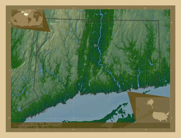
Connecticut, state of United States of America. Colored elevation map with lakes and rivers. Corner auxiliary location maps
Connecticut State United States America Colored Elevation Map Lakes Rivers — Stock Photo, Image
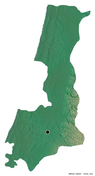
Shape of HaMerkaz, district of Israel, with its capital isolated on white background. Topographic relief map. 3D rendering
Shape Hamerkaz District Israel Its Capital Isolated White Background Topographic — Stock Photo, Image
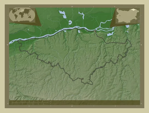
Silistra, province of Bulgaria. Elevation map colored in wiki style with lakes and rivers. Corner auxiliary location maps
Silistra Province Bulgaria Elevation Map Colored Wiki Style Lakes Rivers — Stock Photo, Image
Shape of Coronie, district of Suriname, with its capital isolated on white background. Colored elevation map. 3D rendering
Shape Coronie District Suriname Its Capital Isolated White Background Colored — Stock Photo, Image
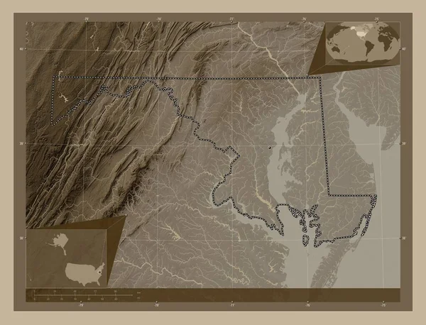
Maryland, state of United States of America. Elevation map colored in sepia tones with lakes and rivers. Corner auxiliary location maps
Maryland State United States America Elevation Map Colored Sepia Tones — Stock Photo, Image
Shape of Maritime, region of Togo, with its capital isolated on white background. Colored elevation map. 3D rendering
Shape Maritime Region Togo Its Capital Isolated White Background Colored — Stock Photo, Image
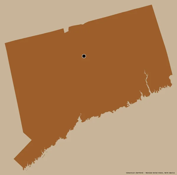
Shape of Connecticut, state of Mainland United States, with its capital isolated on a solid color background. Composition of patterned textures. 3D rendering
Shape Connecticut State Mainland United States Its Capital Isolated Solid — Stock Photo, Image
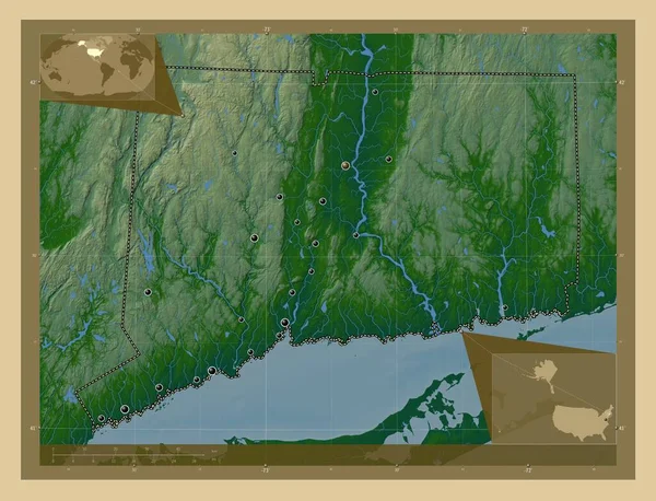
Connecticut, state of United States of America. Colored elevation map with lakes and rivers. Locations of major cities of the region. Corner auxiliary location maps
Connecticut State United States America Colored Elevation Map Lakes Rivers — Stock Photo, Image
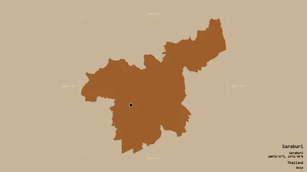
Area of Saraburi, province of Thailand, isolated on a solid background in a georeferenced bounding box. Labels. Composition of patterned textures. 3D rendering
Area Saraburi Province Thailand Isolated Solid Background Georeferenced Bounding Box — Stock Photo, Image
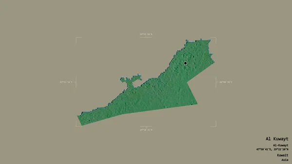
Area of Al Kuwayt, province of Kuwait, isolated on a solid background in a georeferenced bounding box. Labels. Topographic relief map. 3D rendering
Area Kuwayt Province Kuwait Isolated Solid Background Georeferenced Bounding Box — Stock Photo, Image
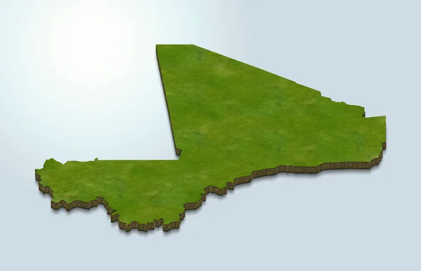
3d render of the map of Mali
Render Map Mali — Stock Photo, Image
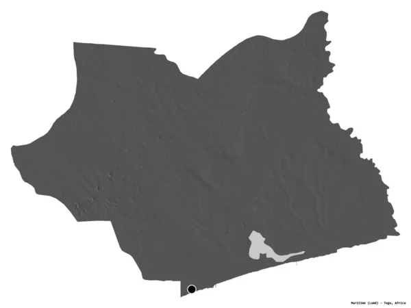
Shape of Maritime, region of Togo, with its capital isolated on white background. Bilevel elevation map. 3D rendering
Shape Maritime Region Togo Its Capital Isolated White Background Bilevel — Stock Photo, Image
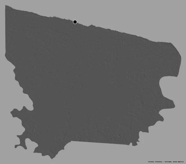
Shape of Coronie, district of Suriname, with its capital isolated on a solid color background. Bilevel elevation map. 3D rendering
Shape Coronie District Suriname Its Capital Isolated Solid Color Background — Stock Photo, Image
Shape of Connecticut, state of Mainland United States, with its capital isolated on a solid color background. Topographic relief map. 3D rendering
Shape Connecticut State Mainland United States Its Capital Isolated Solid — Stock Photo, Image
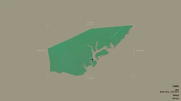
Area of Lamu, county of Kenya, isolated on a solid background in a georeferenced bounding box. Labels. Topographic relief map. 3D rendering
Area Lamu County Kenya Isolated Solid Background Georeferenced Bounding Box — Stock Photo, Image
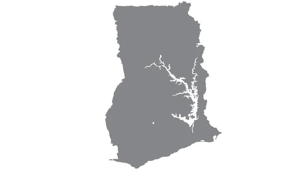
Ghana map with gray tone on white background,illustration,textured , Symbols of Ghana ,for advertising ,promote, TV commercial, ads, web design, magazine, news paper, report
Ghana Map Gray Tone White Background Illustration Textured Symbols Ghana — Stock Photo, Image
Southern Savonia, region of Finland. Colored elevation map with lakes and rivers. Locations and names of major cities of the region. Corner auxiliary location maps
Southern Savonia Region Finland Colored Elevation Map Lakes Rivers Locations — Stock Photo, Image
Map of Botswana.
Map of Botswana. — Stock Photo, Image
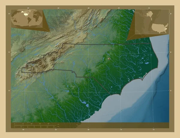
North Carolina, state of United States of America. Colored elevation map with lakes and rivers. Corner auxiliary location maps
North Carolina State United States America Colored Elevation Map Lakes — Stock Photo, Image
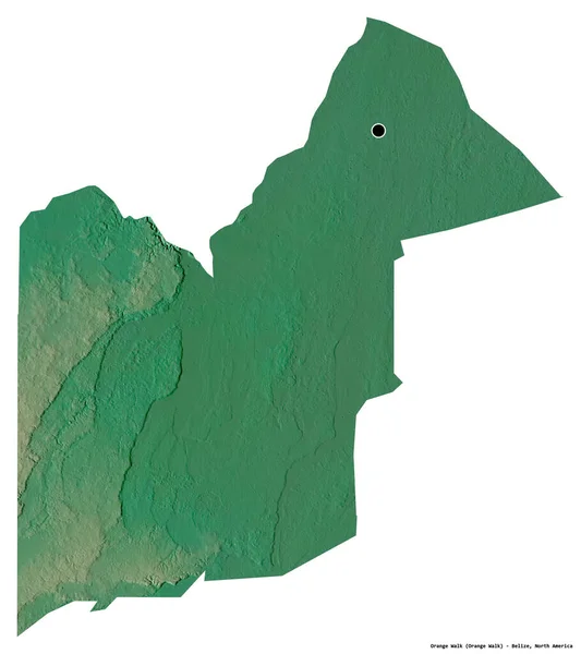
Shape of Orange Walk, district of Belize, with its capital isolated on white background. Topographic relief map. 3D rendering
Shape Orange Walk District Belize Its Capital Isolated White Background — Stock Photo, Image
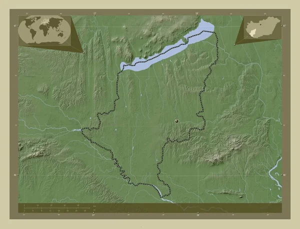
Somogy, county of Hungary. Elevation map colored in wiki style with lakes and rivers. Corner auxiliary location maps
Somogy County Hungary Elevation Map Colored Wiki Style Lakes Rivers — Stock Photo, Image
Map of Guyana
Map of Guyana — Stock Photo, Image
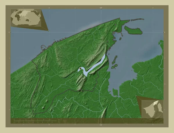
Brunei and Muara, district of Brunei. Elevation map colored in wiki style with lakes and rivers. Locations of major cities of the region. Corner auxiliary location maps
Brunei Muara District Brunei Elevation Map Colored Wiki Style Lakes — Stock Photo, Image
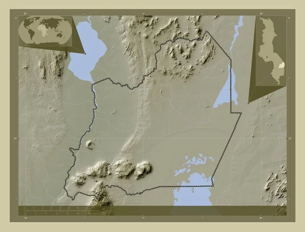
Balaka, district of Malawi. Elevation map colored in wiki style with lakes and rivers. Locations of major cities of the region. Corner auxiliary location maps
Balaka District Malawi Elevation Map Colored Wiki Style Lakes Rivers — Stock Photo, Image
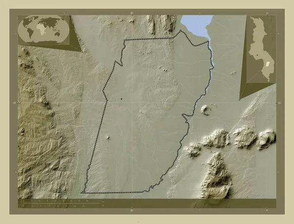
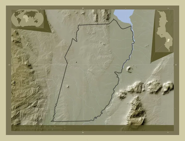
Balaka, district of Malawi. Elevation map colored in wiki style with lakes and rivers. Corner auxiliary location maps
Balaka District Malawi Elevation Map Colored Wiki Style Lakes Rivers — Stock Photo, Image
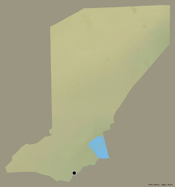
Shape of Diffa, department of Niger, with its capital isolated on a solid color background. Topographic relief map. 3D rendering
Shape Diffa Department Niger Its Capital Isolated Solid Color Background — Stock Photo, Image
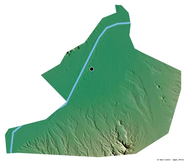
Shape of Al Uqsur, governorate of Egypt, with its capital isolated on white background. Topographic relief map. 3D rendering
Shape Uqsur Governorate Egypt Its Capital Isolated White Background Topographic — Stock Photo, Image
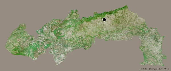
Shape of North East, region of Ghana, with its capital isolated on a solid color background. Satellite imagery. 3D rendering
Shape North East Region Ghana Its Capital Isolated Solid Color — Stock Photo, Image
Southern, region of Zambia. Bilevel elevation map with lakes and rivers. Corner auxiliary location maps
Southern Region Zambia Bilevel Elevation Map Lakes Rivers Corner Auxiliary — Stock Photo, Image
Kisii, county of Kenya. Solid color shape
Kisii County Kenya Solid Color Shape — Stock Photo, Image
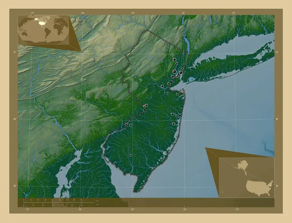
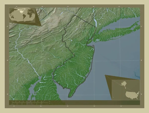
New Jersey, state of United States of America. Colored elevation map with lakes and rivers. Locations of major cities of the region. Corner auxiliary location maps
New Jersey State United States America Colored Elevation Map Lakes — Stock Photo, Image
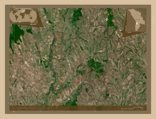
Leova, district of Moldova. Low resolution satellite map. Locations and names of major cities of the region. Corner auxiliary location maps
Leova District Moldova Low Resolution Satellite Map Locations Names Major — Stock Photo, Image
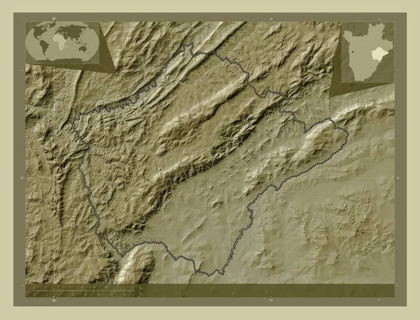
Ruyigi, province of Burundi. Elevation map colored in wiki style with lakes and rivers. Corner auxiliary location maps
Ruyigi Province Burundi Elevation Map Colored Wiki Style Lakes Rivers — Stock Photo, Image
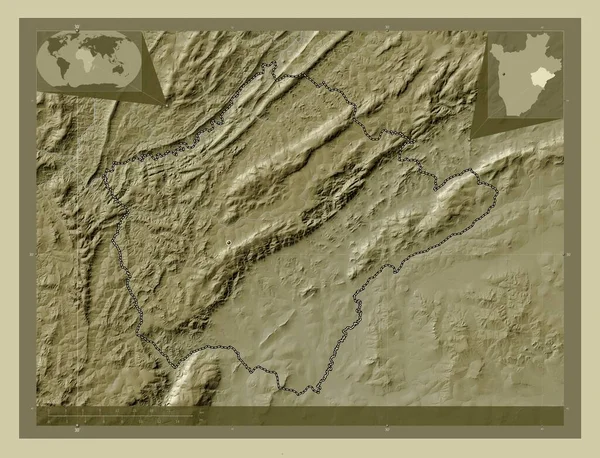
Ruyigi, province of Burundi. Elevation map colored in wiki style with lakes and rivers. Locations of major cities of the region. Corner auxiliary location maps
Ruyigi Province Burundi Elevation Map Colored Wiki Style Lakes Rivers — Stock Photo, Image
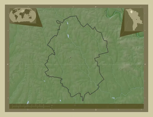
Drochia, district of Moldova. Elevation map colored in wiki style with lakes and rivers. Locations of major cities of the region. Corner auxiliary location maps
Drochia District Moldova Elevation Map Colored Wiki Style Lakes Rivers — Stock Photo, Image
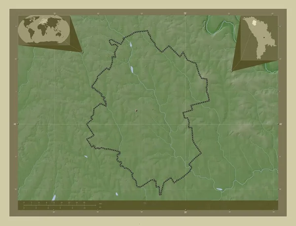
Drochia, district of Moldova. Elevation map colored in wiki style with lakes and rivers. Corner auxiliary location maps
Drochia District Moldova Elevation Map Colored Wiki Style Lakes Rivers — Stock Photo, Image
Area of Omaheke, region of Namibia, isolated on a solid background in a georeferenced bounding box. Labels. Colored elevation map. 3D rendering
Area Omaheke Region Namibia Isolated Solid Background Georeferenced Bounding Box — Stock Photo, Image
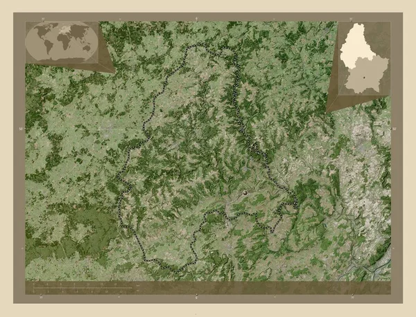
Diekirch, district of Luxembourg. High resolution satellite map. Corner auxiliary location maps
Diekirch District Luxembourg High Resolution Satellite Map Corner Auxiliary Location — Stock Photo, Image
Machinga, district of Malawi. Elevation map colored in wiki style with lakes and rivers. Corner auxiliary location maps
Machinga District Malawi Elevation Map Colored Wiki Style Lakes Rivers — Stock Photo, Image
Shape of Maritime, region of Togo, with its capital isolated on white background. Topographic relief map. 3D rendering
Shape Maritime Region Togo Its Capital Isolated White Background Topographic — Stock Photo, Image
Polygonal Carcass Mesh High Resolution Raster Map of Trinidad Island Abstractions
Polygonal Carcass Mesh High Resolution Raster Map of Trinidad Island Abstractions — Stock Photo, Image
Stylized contour map of Monaco
Stylized contour map of Monaco — Stock Photo, Image
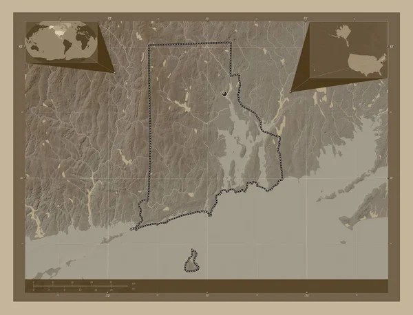
Rhode Island, state of United States of America. Elevation map colored in sepia tones with lakes and rivers. Corner auxiliary location maps
Rhode Island State United States America Elevation Map Colored Sepia — Stock Photo, Image
Mbomou, prefecture of Central African Republic. Colored elevation map with lakes and rivers. Corner auxiliary location maps
Mbomou Prefecture Central African Republic Colored Elevation Map Lakes Rivers — Stock Photo, Image
Osjecko-Baranjska, county of Croatia. Low resolution satellite map. Locations and names of major cities of the region. Corner auxiliary location maps
Osjecko Baranjska County Croatia Low Resolution Satellite Map Locations Names — Stock Photo, Image
Shape of Kgatleng, district of Botswana, with its capital isolated on a solid color background. Bilevel elevation map. 3D rendering
Shape Kgatleng District Botswana Its Capital Isolated Solid Color Background — Stock Photo, Image
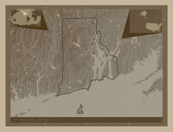
Rhode Island, state of United States of America. Elevation map colored in sepia tones with lakes and rivers. Locations of major cities of the region. Corner auxiliary location maps
Rhode Island State United States America Elevation Map Colored Sepia — Stock Photo, Image
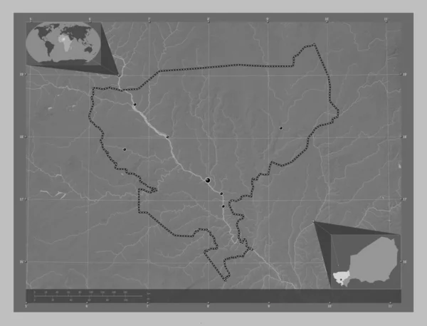
Tillabery, department of Niger. Grayscale elevation map with lakes and rivers. Locations of major cities of the region. Corner auxiliary location maps
Tillabery Department Niger Grayscale Elevation Map Lakes Rivers Locations Major — Stock Photo, Image
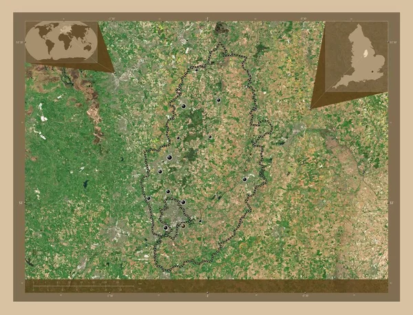
Nottinghamshire, administrative county of England - Great Britain. Low resolution satellite map. Locations of major cities of the region. Corner auxiliary location maps
Nottinghamshire Administrative County England Great Britain Low Resolution Satellite Map — Stock Photo, Image
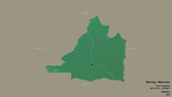
Area of Banteay Meanchey, province of Cambodia, isolated on a solid background in a georeferenced bounding box. Labels. Topographic relief map. 3D rendering
Area Banteay Meanchey Province Cambodia Isolated Solid Background Georeferenced Bounding — Stock Photo, Image
New Jersey, state of United States of America. Elevation map colored in wiki style with lakes and rivers. Corner auxiliary location maps
New Jersey State United States America Elevation Map Colored Wiki — Stock Photo, Image

Connecticut Map Images: Finding the Perfect Visual for Your Project

When it comes to finding the right visual for your project, images are a powerful tool. With the wide range of Connecticut map images available, you can add depth and style to your design, website, or marketing materials. These images can be used for a variety of purposes, including social media posts, digital advertising, and print collateral. But what types of Connecticut map images are available, and how can you choose the right one for your project?

Types of Connecticut Map Images

There are several types of Connecticut map images available, including digital and physical formats. Digital images are available in JPG, AI, and EPS files and can be easily downloaded from stock image websites. Physical maps can be purchased as posters or printed materials. Connecticut map images can also vary in terms of size, scale, and design elements.

If you're looking for a detailed and accurate representation of the state's counties and cities, consider a physical map. If you're looking for a stylized or artistic representation of the state, a digital image might be a better option. Before choosing an image, consider the purpose of your project, the message you want to convey, and the overall aesthetic you want to achieve.

Using Connecticut Map Images Effectively

When using Connecticut map images in your project, it's important to be mindful of their purpose and the message you want to convey. If you're creating a social media post or digital ad, consider using a high-quality digital image that is eye-catching and easy to read. If you're creating a print brochure or poster, a physical map might be a better option, as it can be easily displayed and read by your target audience.

Additionally, be sure to consider the color scheme and design elements of the map, as well as any text or other graphics that will be overlaid on top of the image. Choosing the right Connecticut map image can add depth and sophistication to your project, but choosing the wrong one can detract from your message and overall aesthetic.

Keywords and Related Images

In addition to Connecticut map images, there are several related keywords and images you may wish to consider. Some related keywords include Connecticut landmarks, Connecticut tourism, and Connecticut attractions. Additionally, you may wish to consider images of the Connecticut coastline, historical sites, and cultural events.

When choosing related images, be sure to consider the purpose and message of your project, as well as the overall aesthetic you want to achieve. Adding related images can add depth and interest to your project, but be mindful of choosing images that are appropriate and relevant to your message.

Conclusion

Whether you're creating a website, designing marketing materials, or creating digital advertisements, incorporating Connecticut map images can add depth and style to your project. By carefully considering the purpose of your project, the message you want to convey, and the overall aesthetic you want to achieve, you can choose the perfect Connecticut map image to take your project to the next level.

With the wide range of options and formats available, finding the perfect Connecticut map image for your project doesn't have to be daunting. By using these tips and guidelines, you can confidently incorporate map images into your projects and elevate your design to new heights.