Country borders Stock Photos

100,000 Country borders pictures are available under a royalty-free license

  • Best Match
  • Fresh
  • Popular
1-100 of 100,000
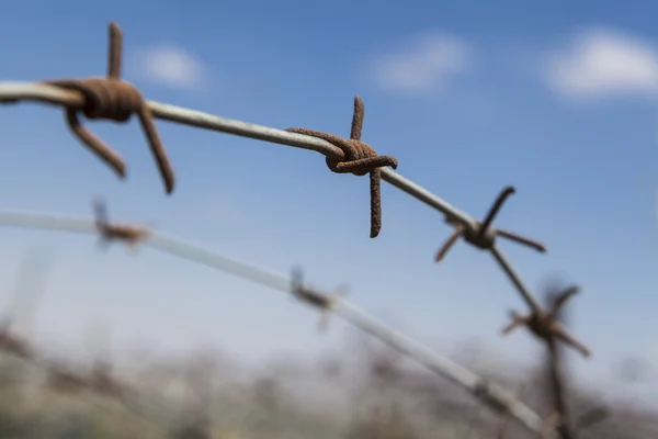
Rusty Barbed Wire
Rusty Barbed Wire — Stock Photo, Image
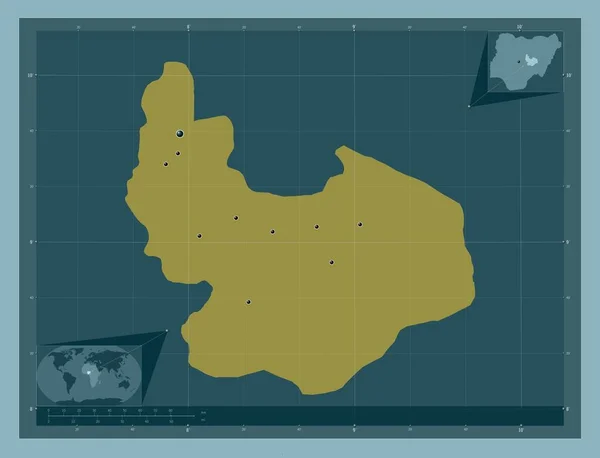
Plateau, state of Nigeria. Solid color shape. Locations of major cities of the region. Corner auxiliary location maps
Plateau State Nigeria Solid Color Shape Locations Major Cities Region — Stock Photo, Image
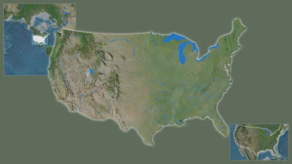
Close-up of United States and its location in the region and in the center of a large-scale world map. Satellite imagery
Close United States Its Location Region Center Large Scale World — Stock Photo, Image
Zoomed-in view of Turkey outline with perspective lines against a global map in the Mollweide projection. Shape centered. color map of continents
Zoomed View Turkey Outline Perspective Lines Global Map Mollweide Projection — Stock Photo, Image
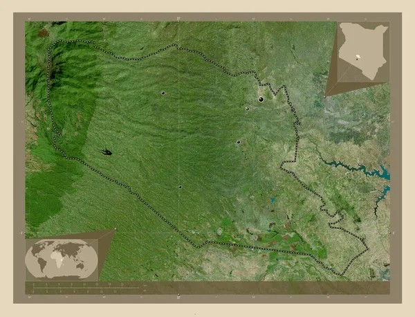
Murang'a, county of Kenya. High resolution satellite map. Locations of major cities of the region. Corner auxiliary location maps
Murang County Kenya High Resolution Satellite Map Locations Major Cities — Stock Photo, Image
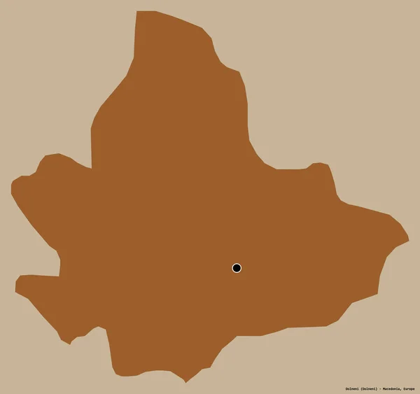
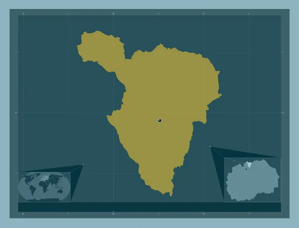
Shape of Dolneni, municipality of Macedonia, with its capital isolated on a solid color background. Composition of patterned textures. 3D rendering
Shape Dolneni Municipality Macedonia Its Capital Isolated Solid Color Background — Stock Photo, Image
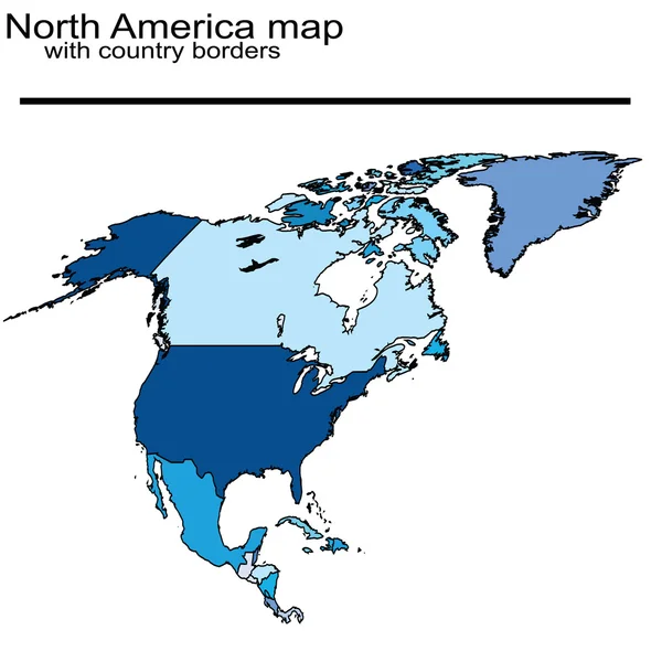
North America map with country borders
North America map with country borders — Stock Photo, Image
Murang'a, county of Kenya. High resolution satellite map. Locations and names of major cities of the region. Corner auxiliary location maps
Murang County Kenya High Resolution Satellite Map Locations Names Major — Stock Photo, Image
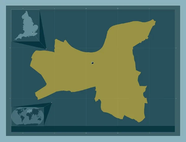
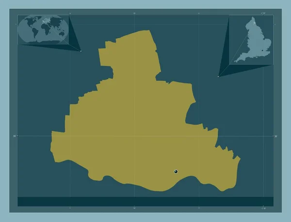
London Borough of Wandsworth, london borough of England - Great Britain. Solid color shape. Corner auxiliary location maps
London Borough Wandsworth London Borough England Great Britain Solid Color — Stock Photo, Image
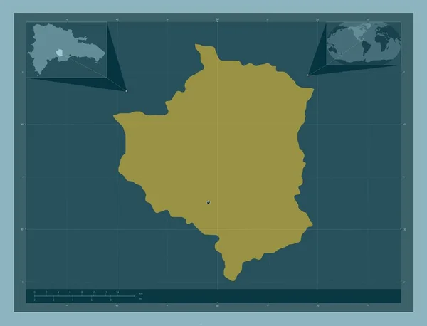
San Jose de Ocoa, province of Dominican Republic. Solid color shape. Locations of major cities of the region. Corner auxiliary location maps
San Jose Ocoa Province Dominican Republic Solid Color Shape Locations — Stock Photo, Image
Arauca, intendancy of Colombia. Low resolution satellite map. Locations of major cities of the region. Corner auxiliary location maps
Arauca Intendancy Colombia Low Resolution Satellite Map Locations Major Cities — Stock Photo, Image
Flag of Panama on political globe
Flag of Panama on political globe — Stock Photo, Image
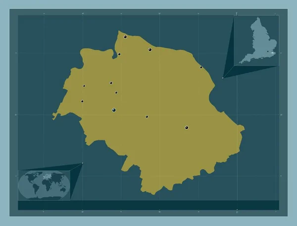
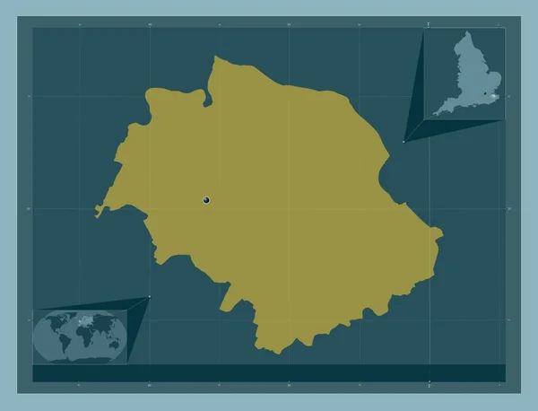
Swale, non metropolitan district of England - Great Britain. Solid color shape. Locations of major cities of the region. Corner auxiliary location maps
Swale Non Metropolitan District England Great Britain Solid Color Shape — Stock Photo, Image
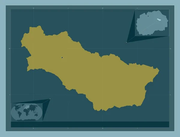
Karbinci, municipality of Macedonia. Solid color shape. Locations of major cities of the region. Corner auxiliary location maps
Karbinci Municipality Macedonia Solid Color Shape Locations Major Cities Region — Stock Photo, Image
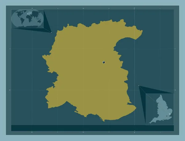
Colchester, non metropolitan district of England - Great Britain. Solid color shape. Corner auxiliary location maps
Colchester Non Metropolitan District England Great Britain Solid Color Shape — Stock Photo, Image
Setif, province of Algeria. Low resolution satellite map. Locations of major cities of the region. Corner auxiliary location maps
Setif Province Algeria Low Resolution Satellite Map Locations Major Cities — Stock Photo, Image
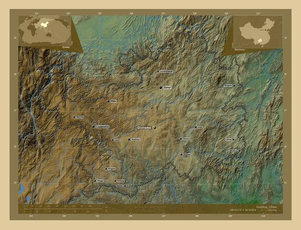
Guizhou, province of China. Colored elevation map with lakes and rivers. Locations and names of major cities of the region. Corner auxiliary location maps
Guizhou Province China Colored Elevation Map Lakes Rivers Locations Names — Stock Photo, Image
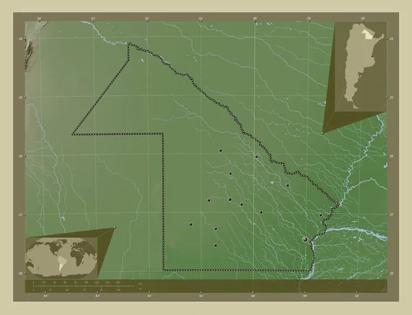
Chaco, province of Argentina. Elevation map colored in wiki style with lakes and rivers. Locations of major cities of the region. Corner auxiliary location maps
Chaco Province Argentina Elevation Map Colored Wiki Style Lakes Rivers — Stock Photo, Image
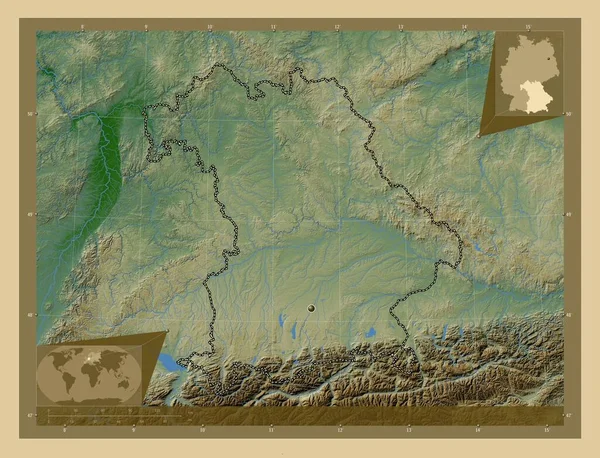
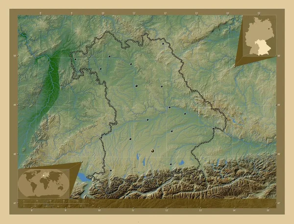
Bayern, region of Germany. Colored elevation map with lakes and rivers. Corner auxiliary location maps
Bayern Region Germany Colored Elevation Map Lakes Rivers Corner Auxiliary — Stock Photo, Image
El Tarf, province of Algeria. Solid color shape. Corner auxiliary location maps
Tarf Province Algeria Solid Color Shape Corner Auxiliary Location Maps — Stock Photo, Image
Swale, non metropolitan district of England - Great Britain. Solid color shape. Corner auxiliary location maps
Swale Non Metropolitan District England Great Britain Solid Color Shape — Stock Photo, Image
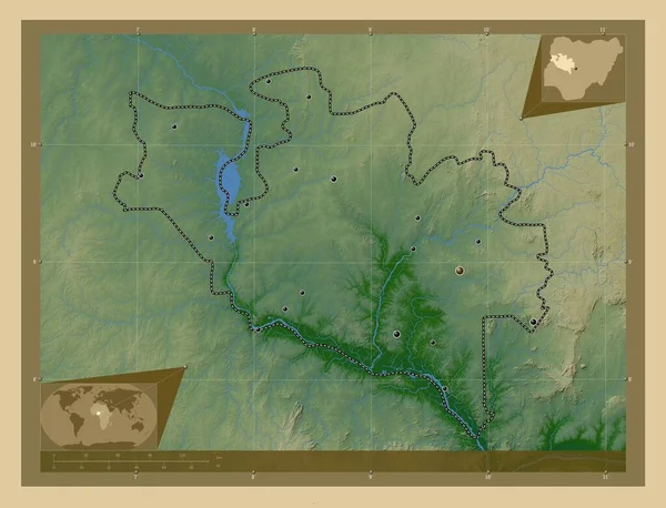
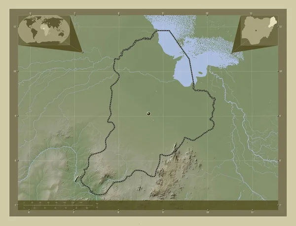
Niger, state of Nigeria. Colored elevation map with lakes and rivers. Locations of major cities of the region. Corner auxiliary location maps
Niger State Nigeria Colored Elevation Map Lakes Rivers Locations Major — Stock Photo, Image
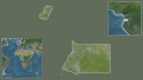
Close-up of Equatorial Guinea and its location in the region and in the center of a large-scale world map. Satellite imagery
Close Equatorial Guinea Its Location Region Center Large Scale World — Stock Photo, Image
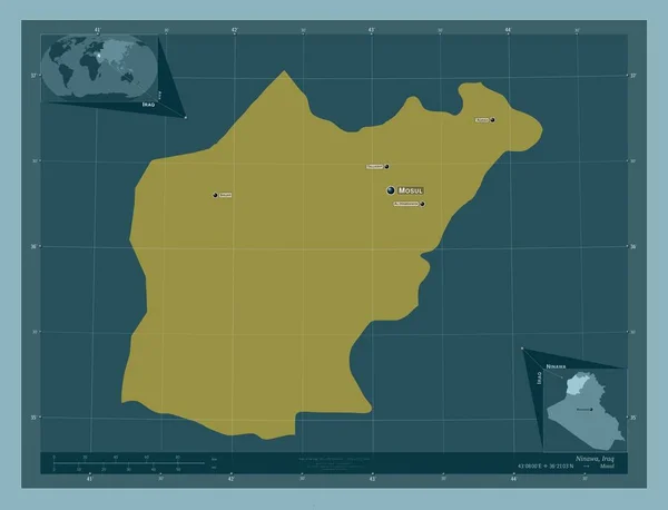
Ninawa, province of Iraq. Solid color shape. Locations and names of major cities of the region. Corner auxiliary location maps
Ninawa Province Iraq Solid Color Shape Locations Names Major Cities — Stock Photo, Image
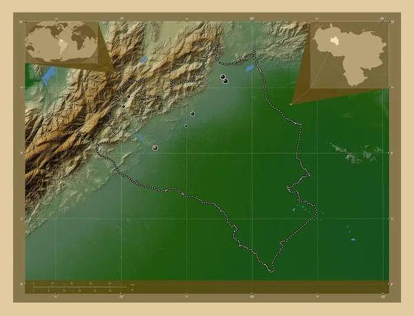
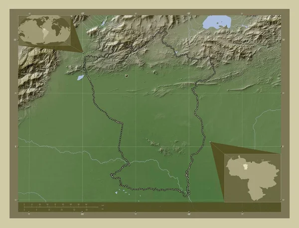
Portuguesa, state of Venezuela. Colored elevation map with lakes and rivers. Corner auxiliary location maps
Portuguesa State Venezuela Colored Elevation Map Lakes Rivers Corner Auxiliary — Stock Photo, Image
Makamba, province of Burundi. Solid color shape. Corner auxiliary location maps
Makamba Province Burundi Solid Color Shape Corner Auxiliary Location Maps — Stock Photo, Image
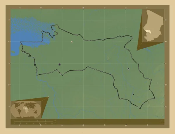
Borkou, region of Chad. Open Street Map. Locations of major cities of the region. Corner auxiliary location maps
Borkou Region Chad Open Street Map Locations Major Cities Region — Stock Photo, Image
Borkou, region of Chad. Open Street Map. Corner auxiliary location maps
Borkou Region Chad Open Street Map Corner Auxiliary Location Maps — Stock Photo, Image
Arauca, intendancy of Colombia. Low resolution satellite map. Corner auxiliary location maps
Arauca Intendancy Colombia Low Resolution Satellite Map Corner Auxiliary Location — Stock Photo, Image
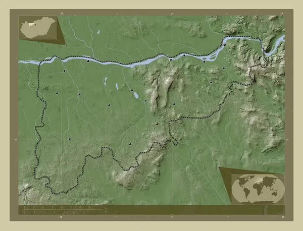
Komarom-Esztergom, county of Hungary. Elevation map colored in wiki style with lakes and rivers. Locations of major cities of the region. Corner auxiliary location maps
Komarom Esztergom County Hungary Elevation Map Colored Wiki Style Lakes — Stock Photo, Image
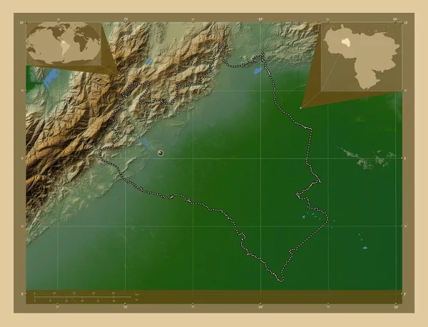
Portuguesa, state of Venezuela. Colored elevation map with lakes and rivers. Locations of major cities of the region. Corner auxiliary location maps
Portuguesa State Venezuela Colored Elevation Map Lakes Rivers Locations Major — Stock Photo, Image
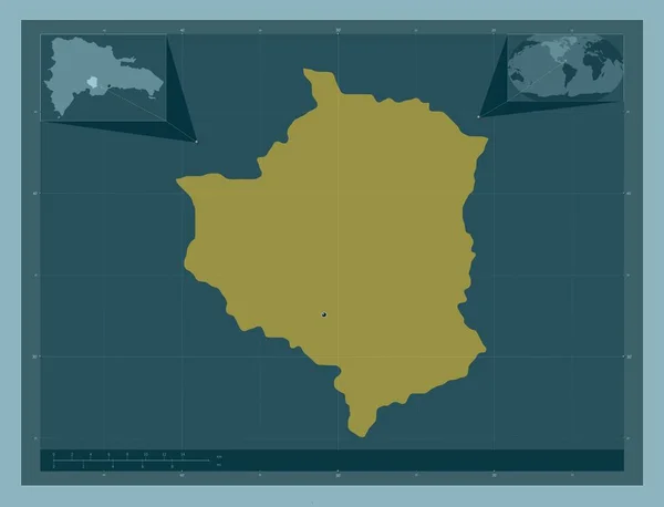
San Jose de Ocoa, province of Dominican Republic. Solid color shape. Corner auxiliary location maps
San Jose Ocoa Province Dominican Republic Solid Color Shape Corner — Stock Photo, Image
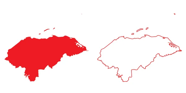
Map of the country of Honduras
Map of the country of Honduras — Stock Photo, Image
Murang'a, county of Kenya. High resolution satellite map. Corner auxiliary location maps
Murang County Kenya High Resolution Satellite Map Corner Auxiliary Location — Stock Photo, Image
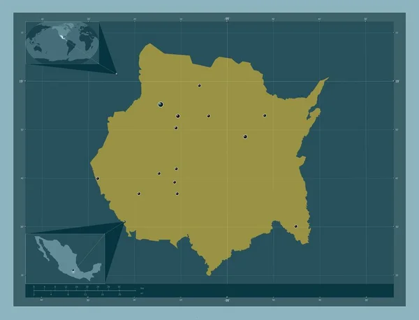
Morelos, state of Mexico. Solid color shape. Locations of major cities of the region. Corner auxiliary location maps
Morelos State Mexico Solid Color Shape Locations Major Cities Region — Stock Photo, Image
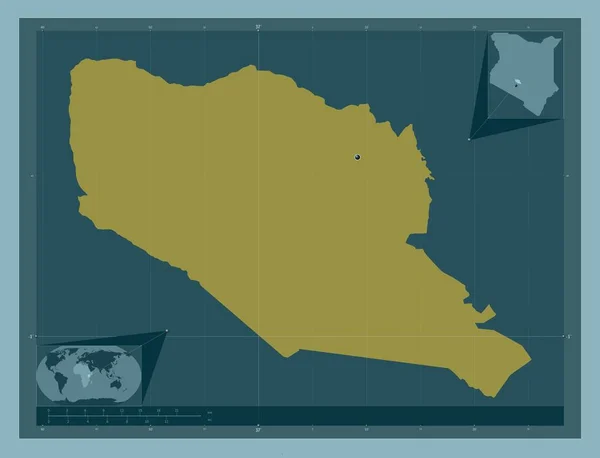
Samburu, county of Kenya. Solid color shape. Corner auxiliary location maps
Samburu County Kenya Solid Color Shape Corner Auxiliary Location Maps — Stock Photo, Image
Samburu, county of Kenya. Solid color shape. Locations of major cities of the region. Corner auxiliary location maps
Samburu County Kenya Solid Color Shape Locations Major Cities Region — Stock Photo, Image
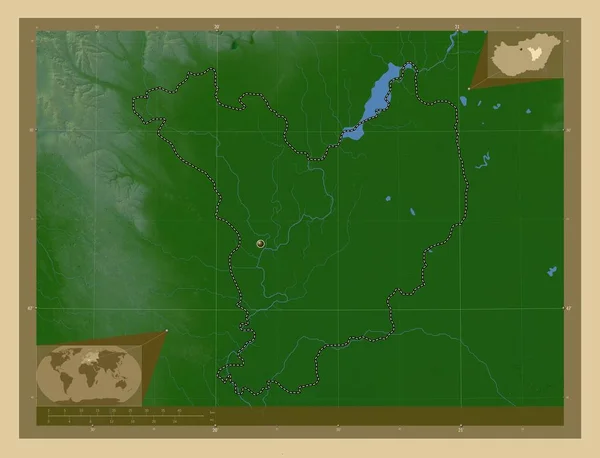
Jasz-Nagykun-Szolnok, county of Hungary. Colored elevation map with lakes and rivers. Corner auxiliary location maps
Jasz Nagykun Szolnok County Hungary Colored Elevation Map Lakes Rivers — Stock Photo, Image
Kisela Voda, municipality of Macedonia. Solid color shape. Corner auxiliary location maps
Kisela Voda Municipality Macedonia Solid Color Shape Corner Auxiliary Location — Stock Photo, Image
Chaco, province of Argentina. Bilevel elevation map with lakes and rivers. Corner auxiliary location maps
Chaco Province Argentina Bilevel Elevation Map Lakes Rivers Corner Auxiliary — Stock Photo, Image
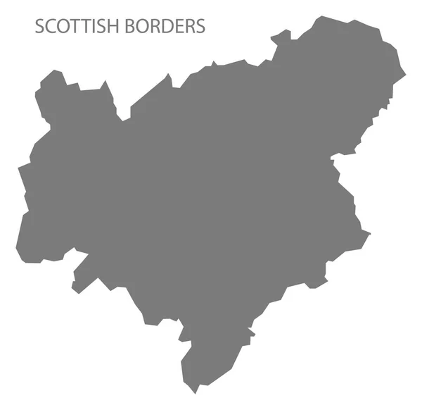
Scottish Borders Scotland Map in grey
Scottish Borders Scotland Map Grey — Stock Photo, Image
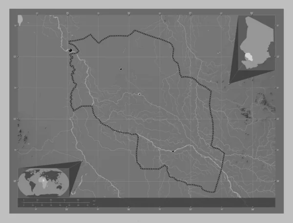
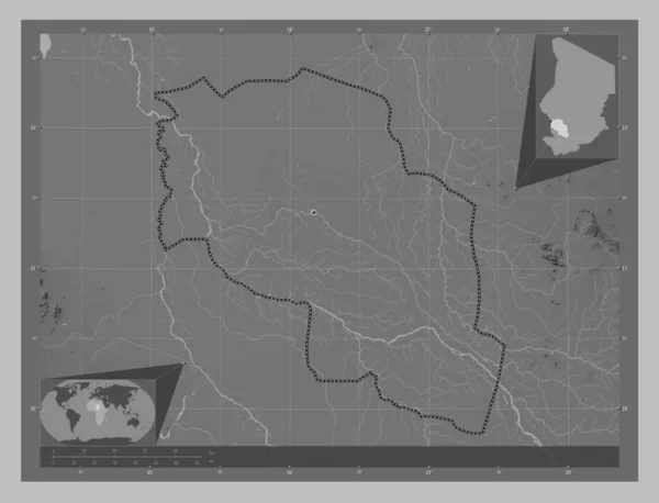
Chari-Baguirmi, region of Chad. Grayscale elevation map with lakes and rivers. Locations of major cities of the region. Corner auxiliary location maps
Chari Baguirmi Region Chad Grayscale Elevation Map Lakes Rivers Locations — Stock Photo, Image
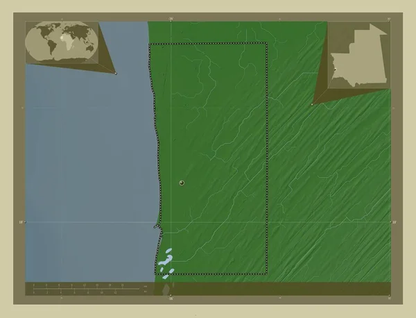
Nouakchott, district of Mauritania. Elevation map colored in wiki style with lakes and rivers. Corner auxiliary location maps
Nouakchott District Mauritania Elevation Map Colored Wiki Style Lakes Rivers — Stock Photo, Image
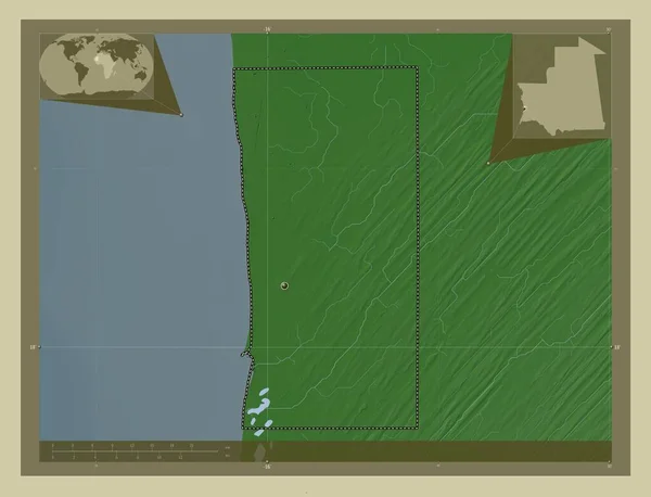
Nouakchott, district of Mauritania. Elevation map colored in wiki style with lakes and rivers. Locations of major cities of the region. Corner auxiliary location maps
Nouakchott District Mauritania Elevation Map Colored Wiki Style Lakes Rivers — Stock Photo, Image
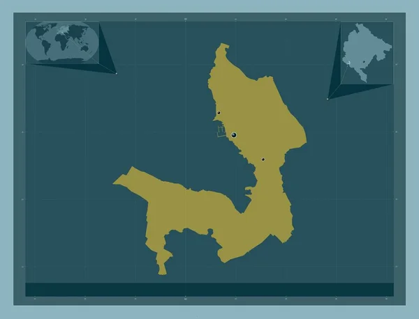
Tivat, municipality of Montenegro. Solid color shape. Locations of major cities of the region. Corner auxiliary location maps
Tivat Municipality Montenegro Solid Color Shape Locations Major Cities Region — Stock Photo, Image
Setif, province of Algeria. Low resolution satellite map. Corner auxiliary location maps
Setif Province Algeria Low Resolution Satellite Map Corner Auxiliary Location — Stock Photo, Image
Borsod-Abauj-Zemplen, county of Hungary. Solid color shape. Corner auxiliary location maps
Borsod Abauj Zemplen County Hungary Solid Color Shape Corner Auxiliary — Stock Photo, Image
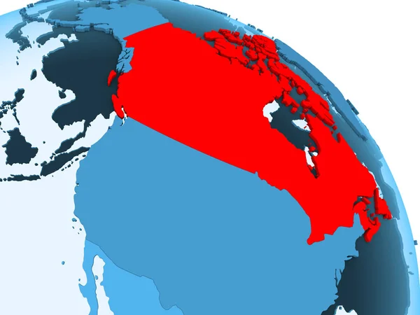
Canada highlighted on blue 3D model of political globe with transparent oceans. 3D illustration.
Canada Highlighted Blue Model Political Globe Transparent Oceans Illustration — Stock Photo, Image
Newcastle upon Tyne, administrative county of England - Great Britain. Solid color shape. Corner auxiliary location maps
Newcastle Tyne Administrative County England Great Britain Solid Color Shape — Stock Photo, Image
Hadjer-Lamis, region of Chad. Colored elevation map with lakes and rivers. Locations of major cities of the region. Corner auxiliary location maps
Hadjer Lamis Region Chad Colored Elevation Map Lakes Rivers Locations — Stock Photo, Image
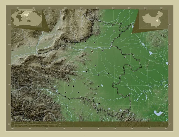
Henan, province of China. Elevation map colored in wiki style with lakes and rivers. Locations of major cities of the region. Corner auxiliary location maps
Henan Province China Elevation Map Colored Wiki Style Lakes Rivers — Stock Photo, Image
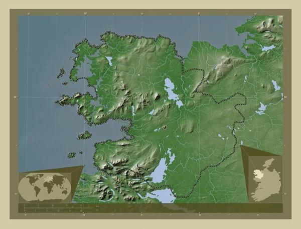
Mayo, county of Ireland. Elevation map colored in wiki style with lakes and rivers. Locations of major cities of the region. Corner auxiliary location maps
Mayo County Ireland Elevation Map Colored Wiki Style Lakes Rivers — Stock Photo, Image
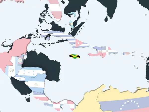
Jamaica on bright political globe with embedded flag. 3D illustration.
Jamaica Bright Political Globe Embedded Flag Illustration — Stock Photo, Image
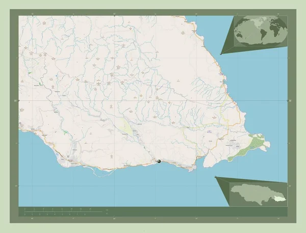
Saint Thomas, parish of Jamaica. Open Street Map. Corner auxiliary location maps
Saint Thomas Parish Jamaica Open Street Map Corner Auxiliary Location — Stock Photo, Image
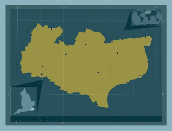
Kent, administrative county of England - Great Britain. Solid color shape. Locations of major cities of the region. Corner auxiliary location maps
Kent Administrative County England Great Britain Solid Color Shape Locations — Stock Photo, Image
Bayern, region of Germany. Colored elevation map with lakes and rivers. Locations of major cities of the region. Corner auxiliary location maps
Bayern Region Germany Colored Elevation Map Lakes Rivers Locations Major — Stock Photo, Image
Kermanshah, province of Iran. Solid color shape. Locations and names of major cities of the region. Corner auxiliary location maps
Kermanshah Province Iran Solid Color Shape Locations Names Major Cities — Stock Photo, Image
Close-up of Guinea and its location in the region and in the center of a large-scale world map. Color physical map
Close Guinea Its Location Region Center Large Scale World Map — Stock Photo, Image
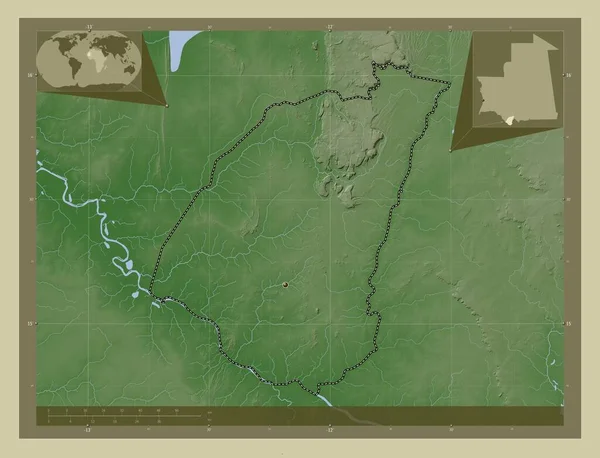
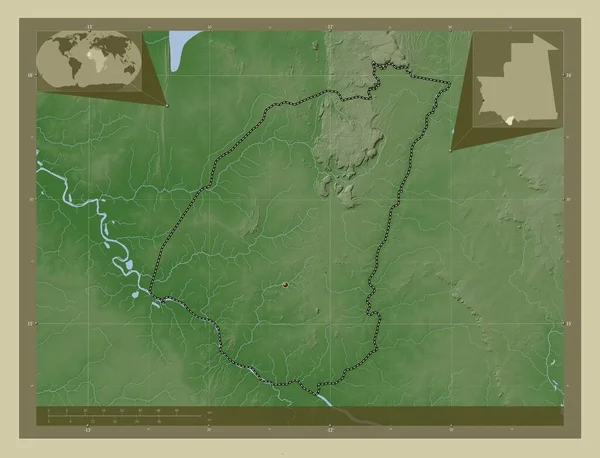
Guidimaka, region of Mauritania. Elevation map colored in wiki style with lakes and rivers. Corner auxiliary location maps
Guidimaka Region Mauritania Elevation Map Colored Wiki Style Lakes Rivers — Stock Photo, Image
Guidimaka, region of Mauritania. Elevation map colored in wiki style with lakes and rivers. Locations of major cities of the region. Corner auxiliary location maps
Guidimaka Region Mauritania Elevation Map Colored Wiki Style Lakes Rivers — Stock Photo, Image
Puerto Rico on bright political globe with embedded flag. 3D illustration.
Puerto Rico Bright Political Globe Embedded Flag Illustration — Stock Photo, Image
Ceara, state of Brazil. Low resolution satellite map. Corner auxiliary location maps
Ceara State Brazil Low Resolution Satellite Map Corner Auxiliary Location — Stock Photo, Image
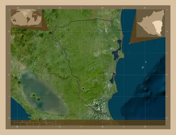
Atlantico Sur, autonomous region of Nicaragua. Low resolution satellite map. Locations of major cities of the region. Corner auxiliary location maps
Atlantico Sur Autonomous Region Nicaragua Low Resolution Satellite Map Locations — Stock Photo, Image
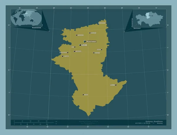
Qostanay, region of Kazakhstan. Solid color shape. Locations and names of major cities of the region. Corner auxiliary location maps
Qostanay Region Kazakhstan Solid Color Shape Locations Names Major Cities — Stock Photo, Image
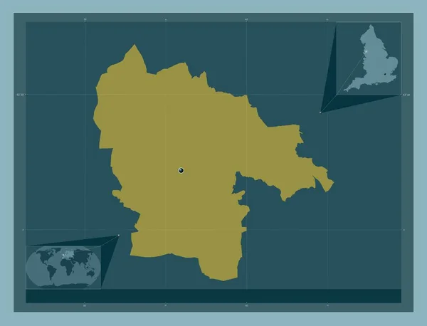
St Helens, unitary authority of England - Great Britain. Solid color shape. Corner auxiliary location maps
Helens Unitary Authority England Great Britain Solid Color Shape Corner — Stock Photo, Image
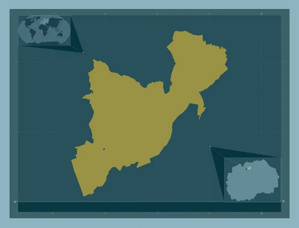
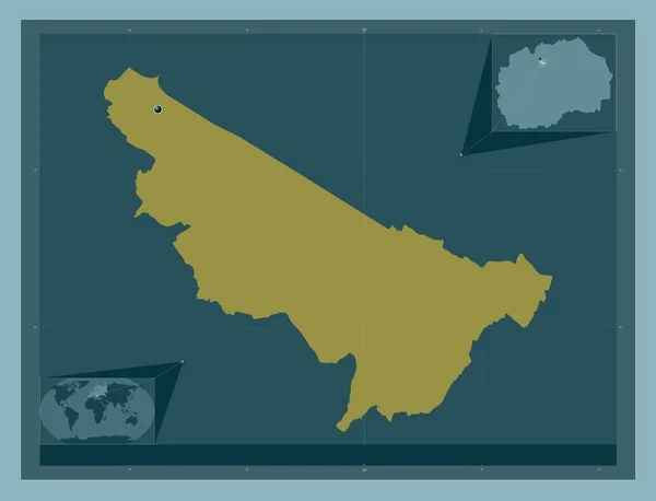
Aracinovo, municipality of Macedonia. Solid color shape. Corner auxiliary location maps
Aracinovo Municipality Macedonia Solid Color Shape Corner Auxiliary Location Maps — Stock Photo, Image
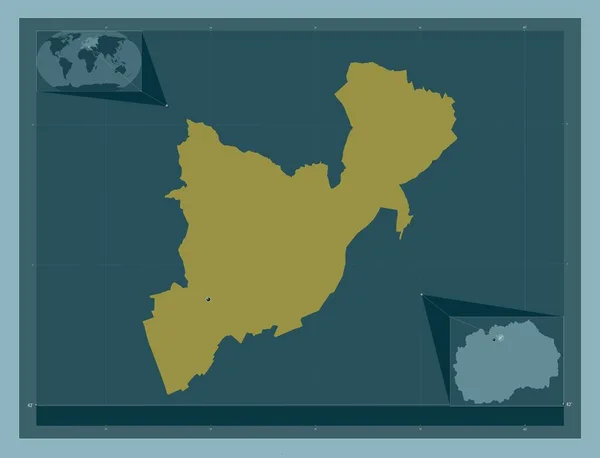
Aracinovo, municipality of Macedonia. Solid color shape. Locations of major cities of the region. Corner auxiliary location maps
Aracinovo Municipality Macedonia Solid Color Shape Locations Major Cities Region — Stock Photo, Image
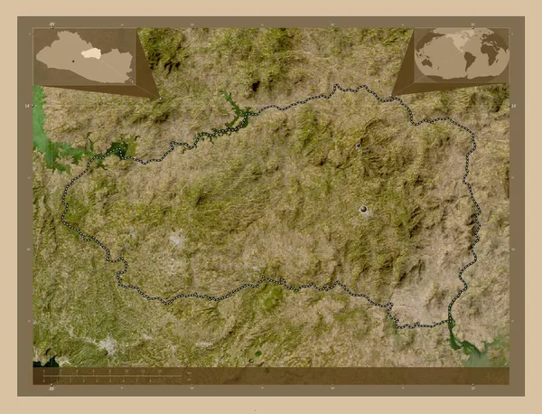
Cabanas, department of El Salvador. Low resolution satellite map. Locations of major cities of the region. Corner auxiliary location maps
Cabanas Department Salvador Low Resolution Satellite Map Locations Major Cities — Stock Photo, Image
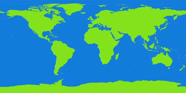
World map contour continents
World map contour continents — Stock Photo, Image
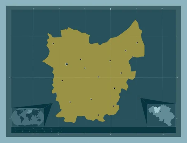
Oost-Vlaanderen, province of Belgium. Solid color shape. Locations of major cities of the region. Corner auxiliary location maps
Oost Vlaanderen Province Belgium Solid Color Shape Locations Major Cities — Stock Photo, Image
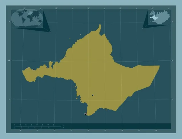
Vesturland, region of Iceland. Solid color shape. Locations of major cities of the region. Corner auxiliary location maps
Vesturland Region Iceland Solid Color Shape Locations Major Cities Region — Stock Photo, Image
Cojedes, state of Venezuela. Elevation map colored in wiki style with lakes and rivers. Corner auxiliary location maps
Cojedes State Venezuela Elevation Map Colored Wiki Style Lakes Rivers — Stock Photo, Image
Vratsa, province of Bulgaria. High resolution satellite map. Locations of major cities of the region. Corner auxiliary location maps
Vratsa Province Bulgaria High Resolution Satellite Map Locations Major Cities — Stock Photo, Image
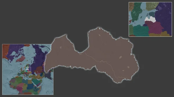
Close-up of Latvia and its location in the region and in the center of a large-scale world map. Color map of the administrative division
Close Latvia Its Location Region Center Large Scale World Map — Stock Photo, Image
Close-up of Latvia and its location in the region and in the center of a large-scale world map. Color map of the administrative division
Close Latvia Its Location Region Center Large Scale World Map — Stock Photo, Image
Saravan, province of Laos. Solid color shape. Corner auxiliary location maps
Saravan Province Laos Solid Color Shape Corner Auxiliary Location Maps — Stock Photo, Image
Vientiane prefecture, prefecture of Laos. Solid color shape. Corner auxiliary location maps
Vientiane Prefecture Prefecture Laos Solid Color Shape Corner Auxiliary Location — Stock Photo, Image
Vientiane prefecture, prefecture of Laos. Solid color shape. Locations of major cities of the region. Corner auxiliary location maps
Vientiane Prefecture Prefecture Laos Solid Color Shape Locations Major Cities — Stock Photo, Image
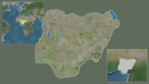
Close-up of Nigeria and its location in the region and in the center of a large-scale world map. Satellite imagery
Close Nigeria Its Location Region Center Large Scale World Map — Stock Photo, Image
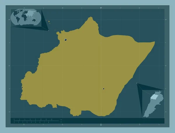
North, governorate of Lebanon. Solid color shape. Locations of major cities of the region. Corner auxiliary location maps
North Governorate Lebanon Solid Color Shape Locations Major Cities Region — Stock Photo, Image
Chari-Baguirmi, region of Chad. Grayscale elevation map with lakes and rivers. Corner auxiliary location maps
Chari Baguirmi Region Chad Grayscale Elevation Map Lakes Rivers Corner — Stock Photo, Image
Borno, state of Nigeria. Elevation map colored in wiki style with lakes and rivers. Corner auxiliary location maps
Borno State Nigeria Elevation Map Colored Wiki Style Lakes Rivers — Stock Photo, Image
East Kazakhstan, region of Kazakhstan. Solid color shape. Corner auxiliary location maps
East Kazakhstan Region Kazakhstan Solid Color Shape Corner Auxiliary Location — Stock Photo, Image
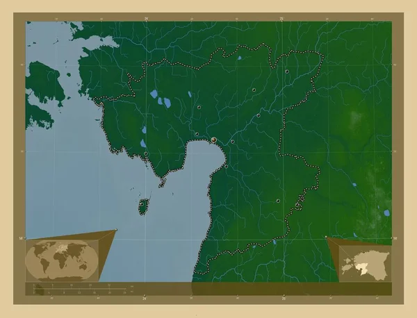
Parnu, county of Estonia. Colored elevation map with lakes and rivers. Locations of major cities of the region. Corner auxiliary location maps
Parnu County Estonia Colored Elevation Map Lakes Rivers Locations Major — Stock Photo, Image
Saint Elizabeth, parish of Jamaica. Satellite imagery. Shape outlined against its country area. 3D rendering
Saint Elizabeth Parish Jamaica Satellite Imagery Shape Outlined Its Country — Stock Photo, Image
Lipkovo, municipality of Macedonia. Solid color shape. Corner auxiliary location maps
Lipkovo Municipality Macedonia Solid Color Shape Corner Auxiliary Location Maps — Stock Photo, Image
Close-up of Caf and its location in the region and in the center of a large-scale world map. Satellite imagery
Close Caf Its Location Region Center Large Scale World Map — Stock Photo, Image
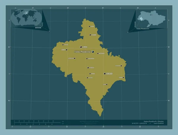
Ivano-Frankivs'k, region of Ukraine. Solid color shape. Locations and names of major cities of the region. Corner auxiliary location maps
Ivano Frankivs Region Ukraine Solid Color Shape Locations Names Major — Stock Photo, Image
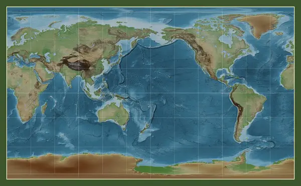
Colored elevation map of the world in the Compact Miller projection centered on the meridian 180 longitude
Colored Elevation Map World Compact Miller Projection Centered Meridian 180 — Stock Photo, Image
Mayo, county of Ireland. Elevation map colored in wiki style with lakes and rivers. Corner auxiliary location maps
Mayo County Ireland Elevation Map Colored Wiki Style Lakes Rivers — Stock Photo, Image
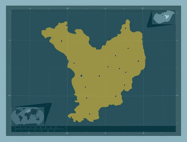
Jasz-Nagykun-Szolnok, county of Hungary. Solid color shape. Locations of major cities of the region. Corner auxiliary location maps
Jasz Nagykun Szolnok County Hungary Solid Color Shape Locations Major — Stock Photo, Image
Makamba, province of Burundi. Solid color shape. Locations of major cities of the region. Corner auxiliary location maps
Makamba Province Burundi Solid Color Shape Locations Major Cities Region — Stock Photo, Image
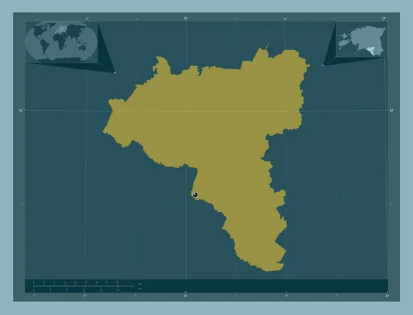
Valga, county of Estonia. Solid color shape. Corner auxiliary location maps
Valga County Estonia Solid Color Shape Corner Auxiliary Location Maps — Stock Photo, Image
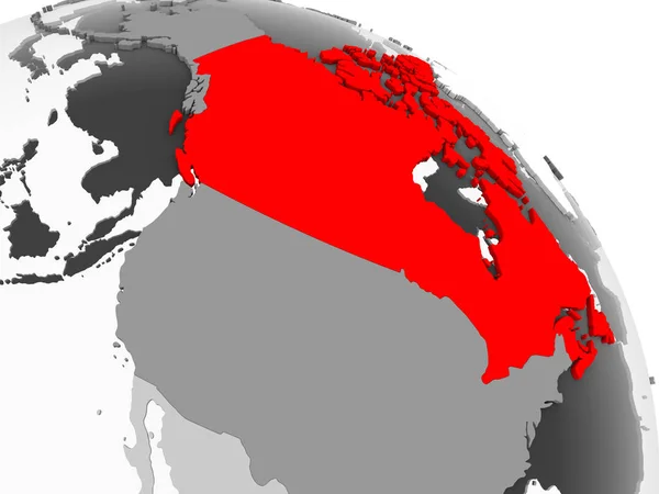
3D render of Canada in red on grey political globe with transparent oceans. 3D illustration.
Render Canada Red Grey Political Globe Transparent Oceans Illustration — Stock Photo, Image
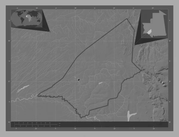
Brakna, region of Mauritania. Bilevel elevation map with lakes and rivers. Corner auxiliary location maps
Brakna Region Mauritania Bilevel Elevation Map Lakes Rivers Corner Auxiliary — Stock Photo, Image
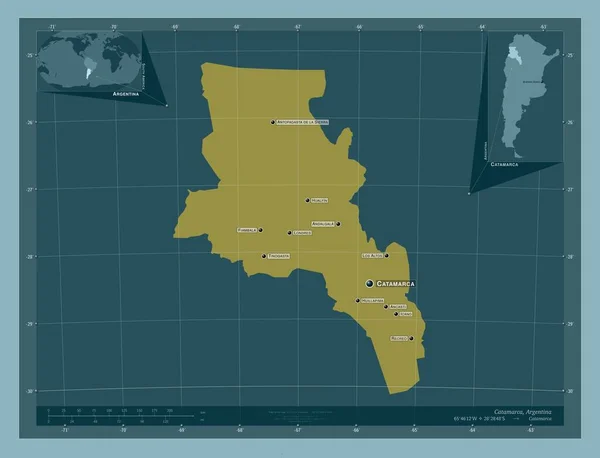
Catamarca, province of Argentina. Solid color shape. Locations and names of major cities of the region. Corner auxiliary location maps
Catamarca Province Argentina Solid Color Shape Locations Names Major Cities — Stock Photo, Image
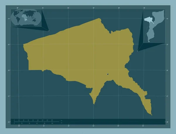
Tete, province of Mozambique. Solid color shape. Corner auxiliary location maps
Tete Province Mozambique Solid Color Shape Corner Auxiliary Location Maps — Stock Photo, Image
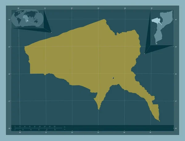
Tete, province of Mozambique. Solid color shape. Locations of major cities of the region. Corner auxiliary location maps
Tete Province Mozambique Solid Color Shape Locations Major Cities Region — Stock Photo, Image
Murang'a, county of Kenya. Solid color shape. Corner auxiliary location maps
Murang County Kenya Solid Color Shape Corner Auxiliary Location Maps — Stock Photo, Image
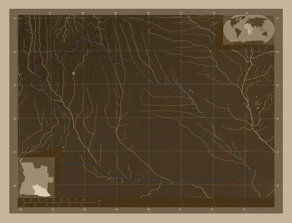
Cuando Cubango, province of Angola. Elevation map colored in sepia tones with lakes and rivers. Locations of major cities of the region. Corner auxiliary location maps
Cuando Cubango Province Angola Elevation Map Colored Sepia Tones Lakes — Stock Photo, Image

Discover Stunning Country Borders Images for Your Projects

If you're looking for high-quality images of country borders, then we've got you covered. Our stock image collection boasts a wide selection of beautiful and captivating border images that are sure to add that special touch to your projects. These images come in different formats, including JPG, AI, and EPS, providing you with versatility and flexibility to use them on different platforms such as digital or print media, social media, websites, or blogs.

Types of Country Borders Images Available

We offer a variety of country borders images that cater to different needs and preferences. Whether you need borders for business, education, or entertainment purposes, we've got the right images for you. Our collection includes:

  • Geographic borders that show the boundaries between different countries, states, or regions
  • Natural borders, including mountain ranges, rivers, and lakes
  • Cultural borders that showcase the diverse cultures and traditions of different countries, such as ethnic costumes, architecture, and monuments

These images are perfect for creating presentations, designing promotional materials, enhancing educational materials, and adding visual interest to your blog or website.

How to Choose the Right Country Borders Images

Choosing the right image for your project can make a big difference in the overall impression it creates. Here are some tips to help you choose the right country borders images:

  • Choose images that best represent the message or theme of your project
  • Consider the style and tone of the image, and whether it fits well with your brand and audience
  • Select images that are high-quality and visually appealing
  • Ensure that the image is relevant to the text on your project

By keeping these points in mind, you'll be able to select the perfect images that will elevate the quality of your work.

Benefits of Using Country Borders Images

Using country borders images can have a significant impact on the look and feel of your work. Here are some benefits of using these images:

  • Images make your project visually appealing and engaging, thereby attracting the attention of your audience
  • They add context and depth to your work and make it easier for your audience to understand your message
  • They enhance the quality of your work, making it look more professional and polished
  • Images can set the tone and mood of your project, thereby creating a lasting impression on your audience

Overall, incorporating high-quality country borders images into your work can take it to the next level and make it stand out from the rest.

Start Using Country Borders Images Today

In conclusion, we offer a diverse and extensive collection of country borders images that are sure to meet your project needs. From geographic to cultural borders, our images are available in different formats and styles, ensuring that you have a wide variety to choose from. Not only are these images visually appealing, but they also have the power to enhance the quality and impact of your work. So why wait? Start incorporating stunning country borders images into your projects today and see the difference for yourself!