Cuba map Stock Photos

100,000 Cuba map pictures are available under a royalty-free license

  • Best Match
  • Fresh
  • Popular
1-100 of 100,000
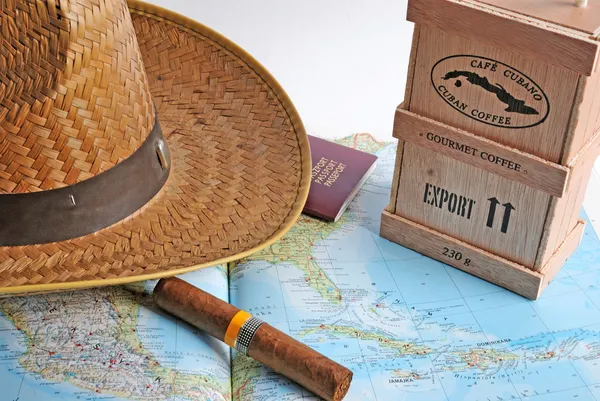
Back from Cuba
Back from Cuba — Stock Photo, Image
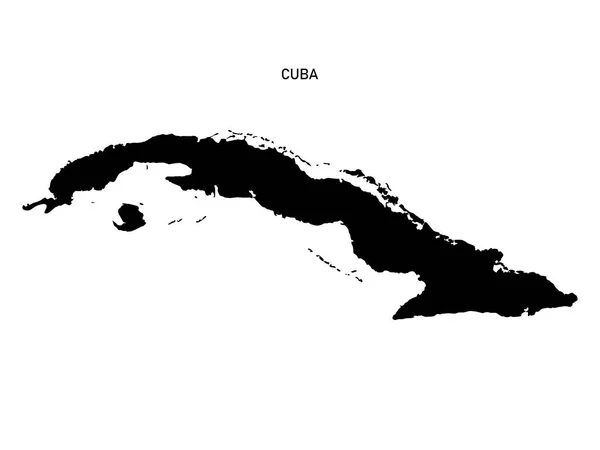
Cuban map silhouette isolated on white background 3D illsutration
Cuban Map Silhouette Isolated White Background Illsutration — Stock Photo, Image
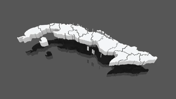
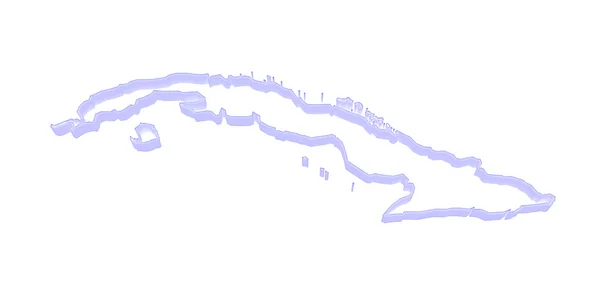
Map of Cuba
Map of Cuba — Stock Photo, Image
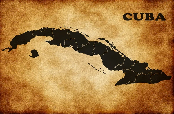
Map of Cuba
Map of Cuba — Stock Photo, Image
Map of Cuba.
Map of Cuba. — Stock Photo, Image
Night Earth. Bermuda Triangle area
Night Earth. Bermuda Triangle area — Stock Photo, Image
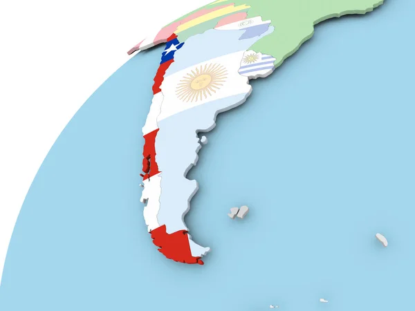
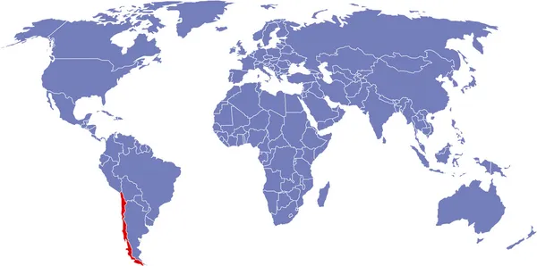
Chile on globe with flag
Chile on globe with flag — Stock Photo, Image
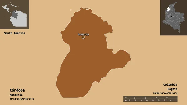
Shape of Cordoba, department of Colombia, and its capital. Distance scale, previews and labels. Composition of patterned textures. 3D rendering
Shape Cordoba Department Colombia Its Capital Distance Scale Previews Labels — Stock Photo, Image
Central, region of Ghana. Solid color shape. Locations of major cities of the region. Corner auxiliary location maps
Central Region Ghana Solid Color Shape Locations Major Cities Region — Stock Photo, Image
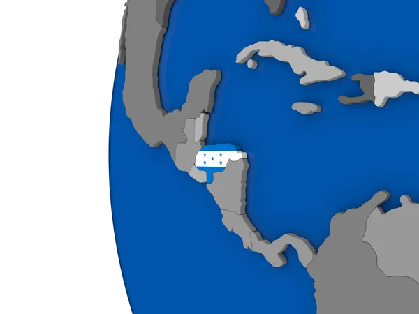
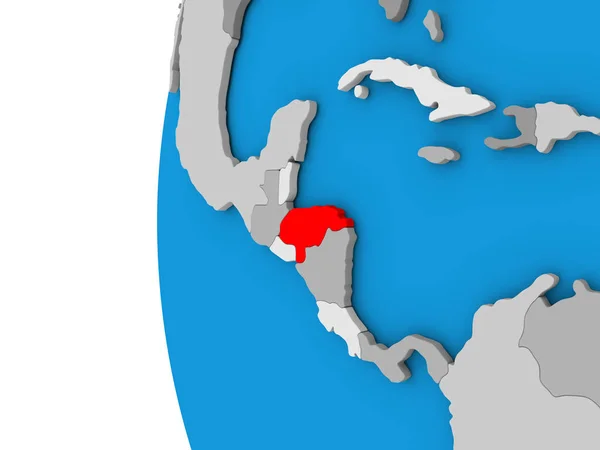
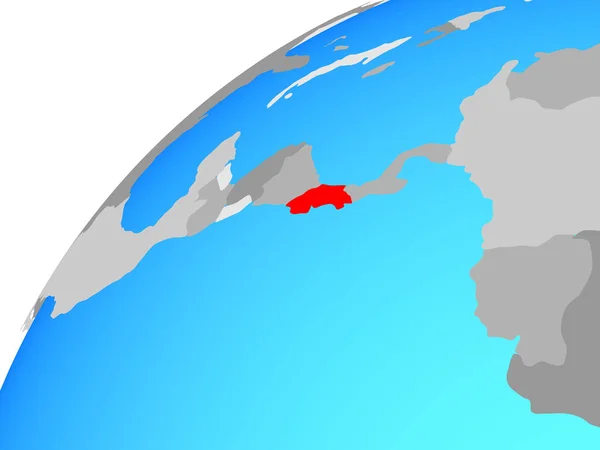
Honduras on globe
Honduras on globe — Stock Photo, Image
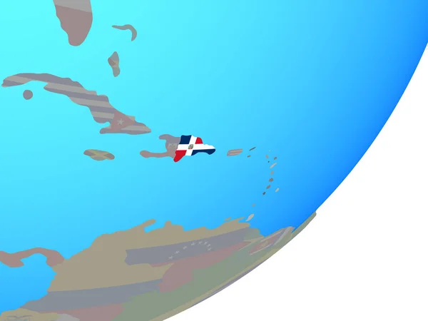
Dominican Republic with embedded national flag on blue political globe. 3D illustration.
Dominican Republic Embedded National Flag Blue Political Globe Illustration — Stock Photo, Image
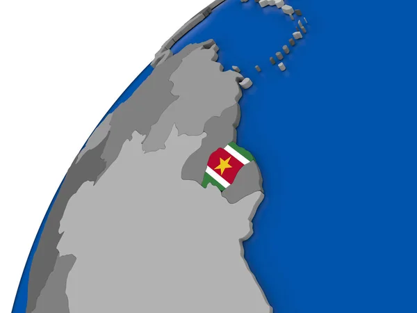
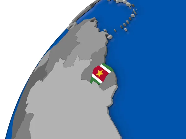
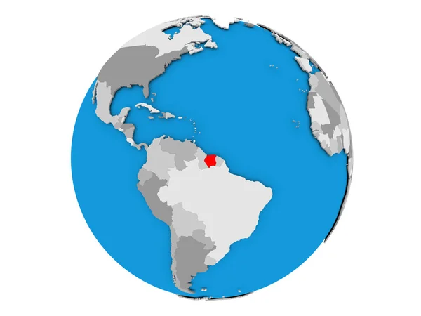
Suriname with flag on political globe
Suriname with flag on political globe — Stock Photo, Image
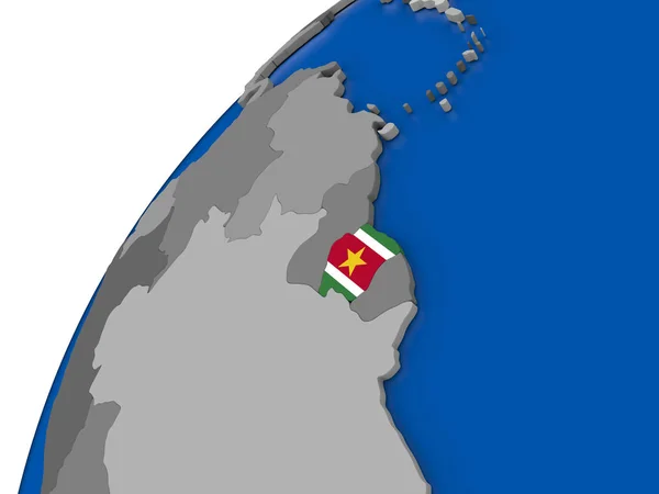
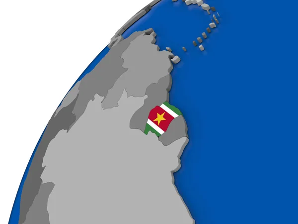
Suriname with flag on political globe
Suriname with flag on political globe — Stock Photo, Image
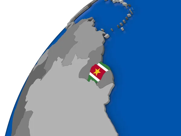
Suriname with flag on political globe
Suriname with flag on political globe — Stock Photo, Image
Suriname with flag on political globe
Suriname with flag on political globe — Stock Photo, Image
Suriname with flag on political globe
Suriname with flag on political globe — Stock Photo, Image
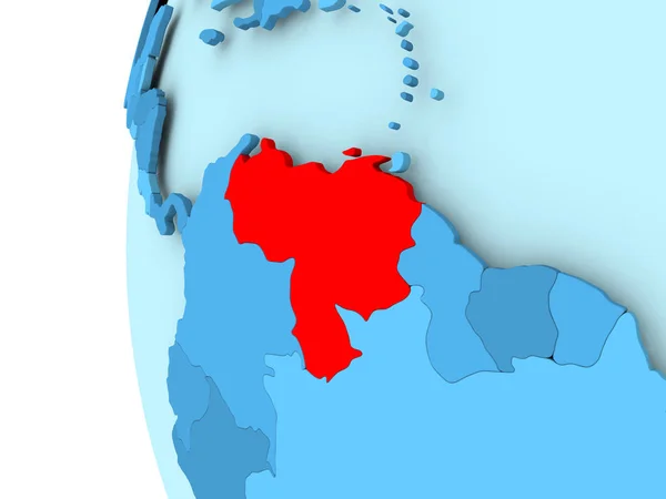
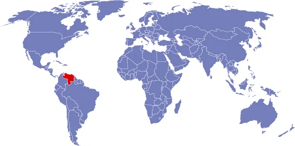
Map of Venezuela
Map of Venezuela — Stock Photo, Image
Ceara, state of Brazil. Low resolution satellite map. Corner auxiliary location maps
Ceara State Brazil Low Resolution Satellite Map Corner Auxiliary Location — Stock Photo, Image
Pattern map of the area around the Nazca tectonic plate. 3D rendering
Pattern Map Area Nazca Tectonic Plate Rendering — Stock Photo, Image
Central, region of Ghana. Solid color shape. Corner auxiliary location maps
Central Region Ghana Solid Color Shape Corner Auxiliary Location Maps — Stock Photo, Image
Map of worlds. Argentina.
Map of worlds. Argentina. — Stock Photo, Image
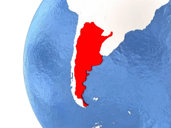
Argentina on globe
Argentina on globe — Stock Photo, Image
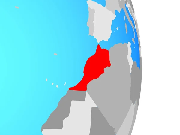
Morocco on simple political globe. 3D illustration.
Morocco Simple Political Globe Illustration — Stock Photo, Image
Morocco on simple political globe. 3D illustration.
Morocco Simple Political Globe Illustration — Stock Photo, Image
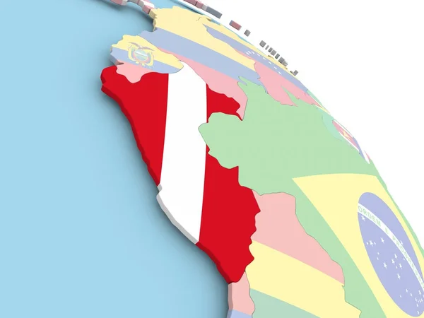
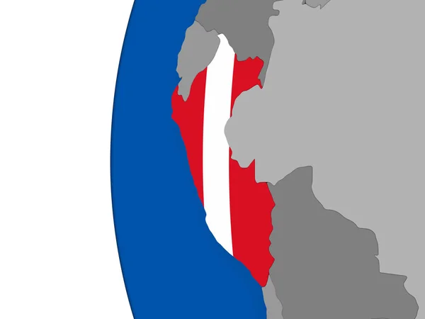
Flag of Peru on globe
Flag of Peru on globe — Stock Photo, Image
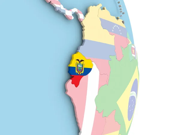
Ecuador with flag on globe
Ecuador with flag on globe — Stock Photo, Image
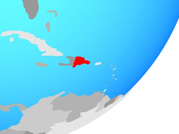
Dominican Republic on simple political 3D globe. 3D illustration.
Dominican Republic Simple Political Globe Illustration — Stock Photo, Image
Map of worlds. Argentina.
Map of worlds. Argentina. — Stock Photo, Image
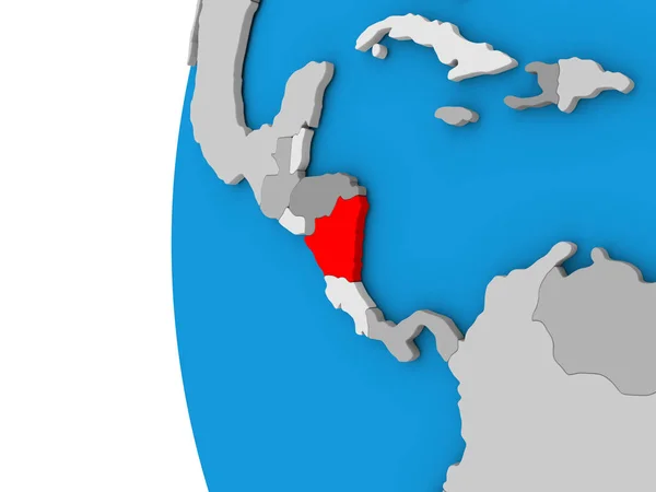
Nicaragua on globe
Nicaragua on globe — Stock Photo, Image
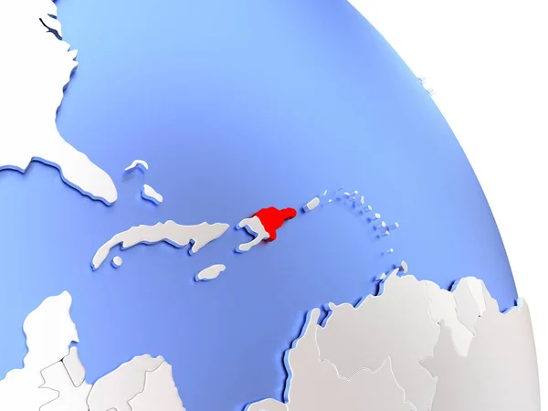
Dominican Republic on elegant globe
Dominican Republic on elegant globe — Stock Photo, Image
Honduras on globe
Honduras on globe — Stock Photo, Image
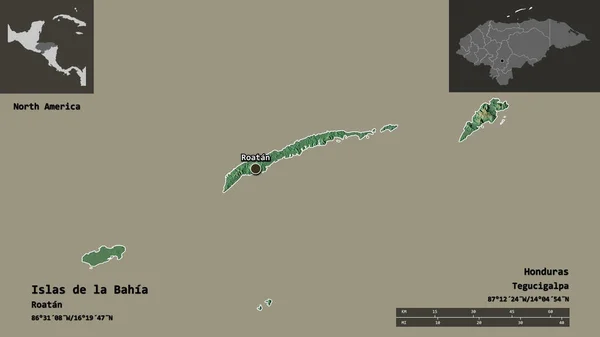
Shape of Islas de la Bahia, department of Honduras, and its capital. Distance scale, previews and labels. Topographic relief map. 3D rendering
Shape Islas Bahia Department Honduras Its Capital Distance Scale Previews — Stock Photo, Image
Shape of Artemisa, province of Cuba, with its capital isolated on solid background. Distance scale, region preview and labels. Topographic relief map. 3D rendering
Shape Artemisa Province Cuba Its Capital Isolated Solid Background Distance — Stock Photo, Image
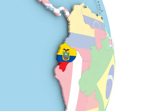
Ecuador with flag on globe
Ecuador with flag on globe — Stock Photo, Image
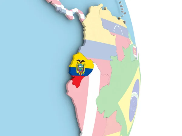
Ecuador with flag on globe
Ecuador with flag on globe — Stock Photo, Image
Ecuador with flag on globe
Ecuador with flag on globe — Stock Photo, Image
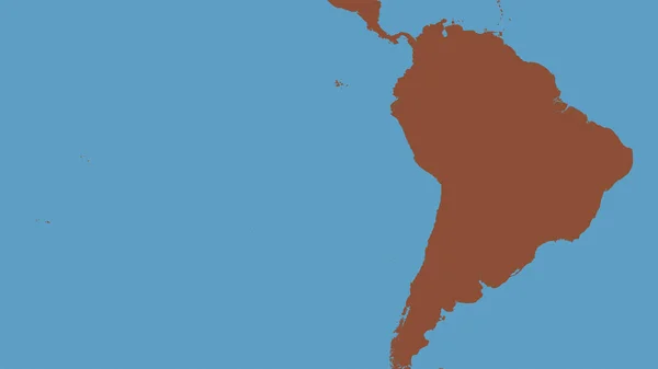
Map of worlds. South America.
Map of worlds. South America. — Stock Photo, Image
Suriname on globe isolated
Suriname on globe isolated — Stock Photo, Image
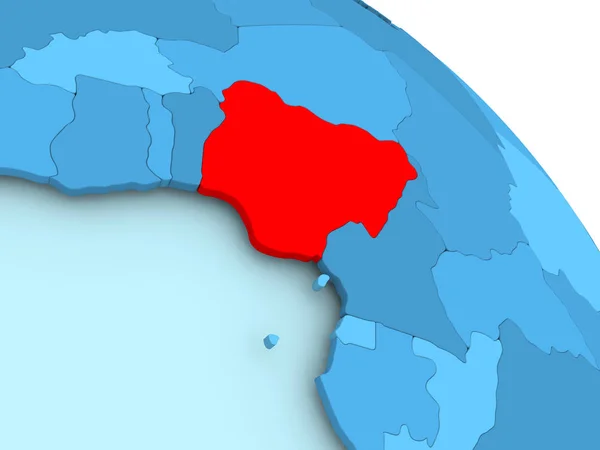
Nigeria on blue globe
Nigeria on blue globe — Stock Photo, Image
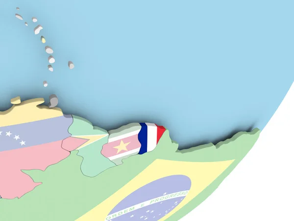
Illustration of French Guiana on political globe with embedded flag. 3D illustration.
Illustration French Guiana Political Globe Embedded Flag Illustration — Stock Photo, Image
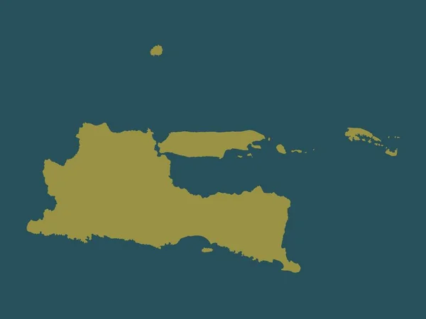
Jawa Timur, province of Indonesia. Solid color shape
Jawa Timur Province Indonesia Solid Color Shape — Stock Photo, Image
Map of Venezuela
Map of Venezuela — Stock Photo, Image
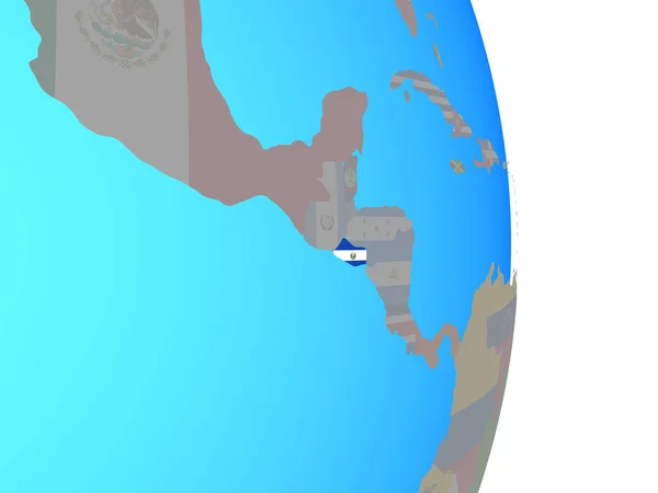
El Salvador with national flag on simple political globe. 3D illustration.
Salvador National Flag Simple Political Globe Illustration — Stock Photo, Image
Map of El Salvador with flag on globe
Map of El Salvador with flag on globe — Stock Photo, Image
Map of El Salvador with flag on globe
Map of El Salvador with flag on globe — Stock Photo, Image
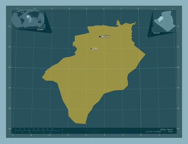
Bechar, province of Algeria. Solid color shape. Locations and names of major cities of the region. Corner auxiliary location maps
Bechar Province Algeria Solid Color Shape Locations Names Major Cities — Stock Photo, Image
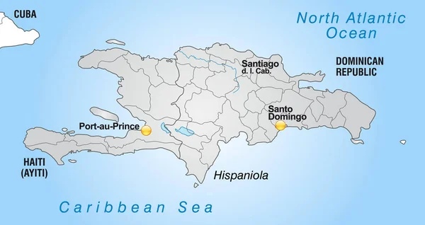
Map of hispaniola with borders in gray
Map Hispaniola Borders Gray — Stock Photo, Image
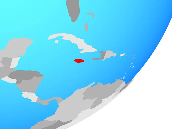
Jamaica on blue political globe. 3D illustration.
Jamaica Blue Political Globe Illustration — Stock Photo, Image
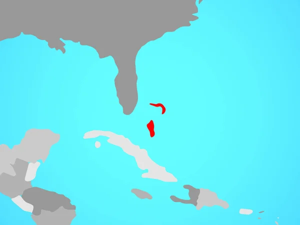
Bahamas on blue political globe. 3D illustration.
Bahamas Blue Political Globe Illustration — Stock Photo, Image
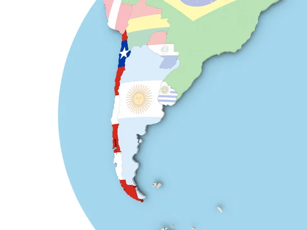
Chile with flag
Chile with flag — Stock Photo, Image
Peru on globe
Peru on globe — Stock Photo, Image
Flag of Chile on political globe
Flag of Chile on political globe — Stock Photo, Image
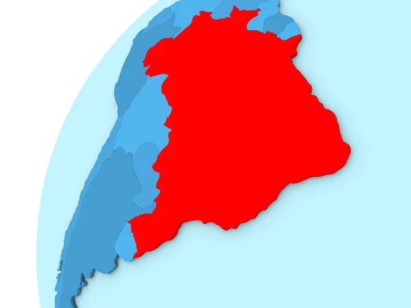
Brazil in red on blue globe
Brazil in red on blue globe — Stock Photo, Image
Dominican Republic on blue political globe. 3D illustration.
Dominican Republic Blue Political Globe Illustration — Stock Photo, Image
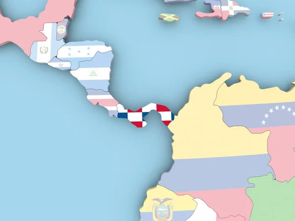
Panama on blue political globe. 3D illustration.
Panama Blue Political Globe Illustration — Stock Photo, Image
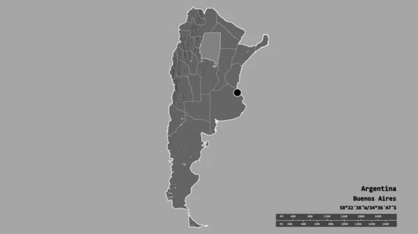
Desaturated shape of Argentina with its capital, main regional division and the separated Santiago del Estero area. Labels. Bilevel elevation map. 3D rendering
Desaturated Shape Argentina Its Capital Main Regional Division Separated Santiago — Stock Photo, Image
Map of Iceland with flag on globe
Map of Iceland with flag on globe — Stock Photo, Image
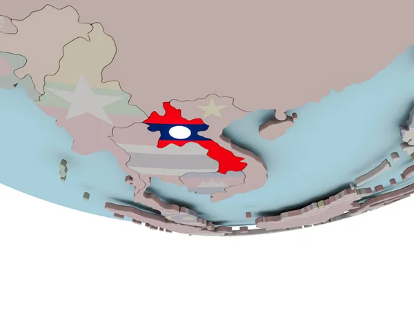
Laos with flag on globe
Laos with flag on globe — Stock Photo, Image
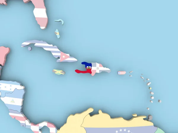
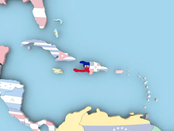
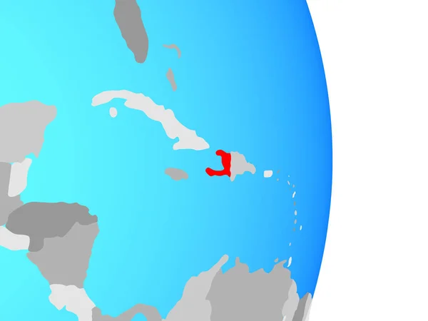
Haiti on simple political globe. 3D illustration.
Haiti Simple Political Globe Illustration — Stock Photo, Image
Guyana and Suriname on political Earth model
Guyana and Suriname  on political Earth model — Stock Photo, Image
Shape of Kracheh, province of Cambodia, with its capital isolated on solid background. Distance scale, region preview and labels. Colored elevation map. 3D rendering
Shape Kracheh Province Cambodia Its Capital Isolated Solid Background Distance — Stock Photo, Image
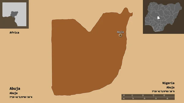
Shape of Abuja, federal capital territory of Nigeria, and its capital. Distance scale, previews and labels. Composition of regularly patterned textures. 3D rendering
Shape Abuja Federal Capital Territory Nigeria Its Capital Distance Scale — Stock Photo, Image
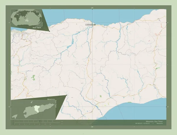
Manatuto, municipality of East Timor. Open Street Map. Locations and names of major cities of the region. Corner auxiliary location maps
Manatuto Municipality East Timor Open Street Map Locations Names Major — Stock Photo, Image
Map of Darien. Panama.
Map of Darien. Panama. — Stock Photo, Image
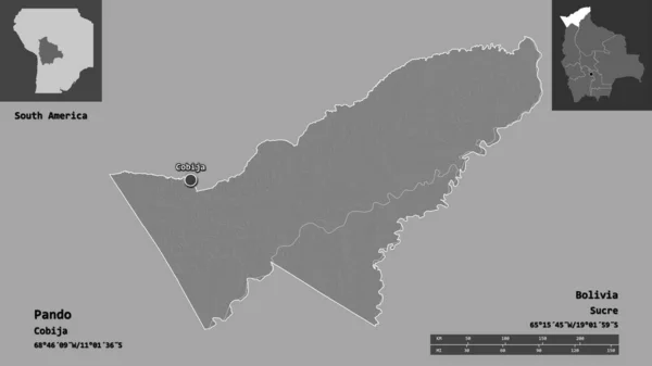
Shape of Pando, department of Bolivia, and its capital. Distance scale, previews and labels. Bilevel elevation map. 3D rendering
Shape Pando Department Bolivia Its Capital Distance Scale Previews Labels — Stock Photo, Image
Shape of Kouilou, region of Republic of Congo, and its capital. Distance scale, previews and labels. Satellite imagery. 3D rendering
Shape Kouilou Region Republic Congo Its Capital Distance Scale Previews — Stock Photo, Image
Global map
Global map — Stock Photo, Image
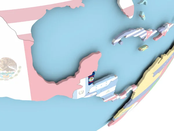
Illustration of Belize on political globe with embedded flag. 3D illustration.
Illustration Belize Political Globe Embedded Flag Illustration — Stock Photo, Image
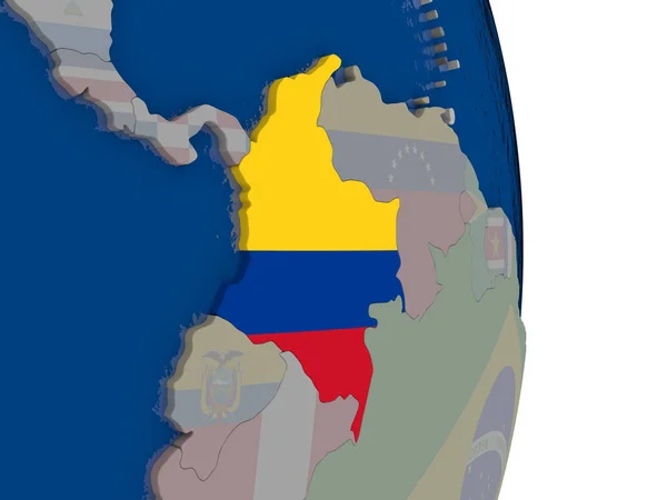
Colombia with its flag
Colombia with its flag — Stock Photo, Image
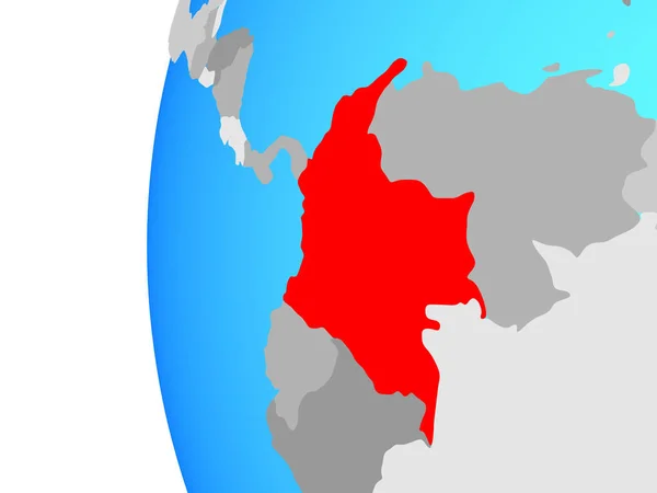
Colombia on blue political globe. 3D illustration.
Colombia Blue Political Globe Illustration — Stock Photo, Image
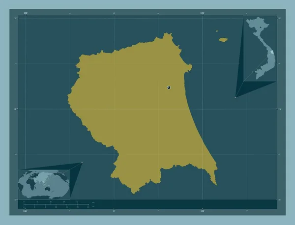
Quang Ngai, province of Vietnam. Solid color shape. Corner auxiliary location maps
Quang Ngai Province Vietnam Solid Color Shape Corner Auxiliary Location — Stock Photo, Image
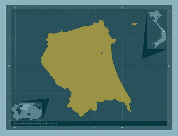
Quang Ngai, province of Vietnam. Solid color shape. Locations of major cities of the region. Corner auxiliary location maps
Quang Ngai Province Vietnam Solid Color Shape Locations Major Cities — Stock Photo, Image
Ecuador and its neighborhood. Distant oblique perspective - shape outlined. color map of administrative divisions
Ecuador Its Neighborhood Distant Oblique Perspective Shape Outlined Color Map — Stock Photo, Image
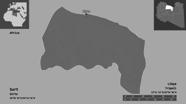
Shape of Surt, district of Libya, and its capital. Distance scale, previews and labels. Bilevel elevation map. 3D rendering
Shape Surt District Libya Its Capital Distance Scale Previews Labels — Stock Photo, Image
Map of Namibia in red
Map of Namibia in red — Stock Photo, Image
Dominican Republic on simple political globe. 3D illustration.
Dominican Republic Simple Political Globe Illustration — Stock Photo, Image
Shape of Vichada, commissiary of Colombia, and its capital. Distance scale, previews and labels. Bilevel elevation map. 3D rendering
Shape Vichada Commissiary Colombia Its Capital Distance Scale Previews Labels — Stock Photo, Image
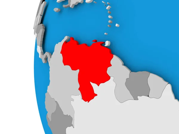
Map of Venezuela on political globe
Map of Venezuela on political globe — Stock Photo, Image
Jamaica on 3D map
Jamaica on 3D map — Stock Photo, Image
Zambia on colorful 3D globe
Zambia on colorful 3D globe — Stock Photo, Image
Costa Rica on globe. 3D illustration.
Costa Rica Globe Illustration — Stock Photo, Image
Global map
Global map — Stock Photo, Image
Map of Haiti with flag on globe
Map of Haiti with flag on globe — Stock Photo, Image
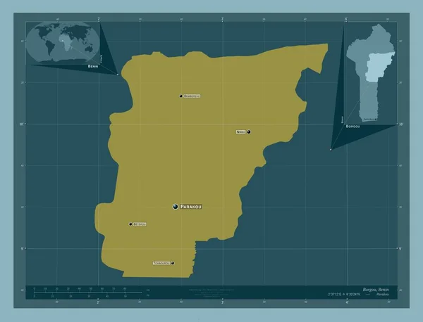
Borgou, department of Benin. Solid color shape. Locations and names of major cities of the region. Corner auxiliary location maps
Borgou Department Benin Solid Color Shape Locations Names Major Cities — Stock Photo, Image
Global map
Global map — Stock Photo, Image
Bechar, province of Algeria. Solid color shape. Corner auxiliary location maps
Bechar Province Algeria Solid Color Shape Corner Auxiliary Location Maps — Stock Photo, Image
Shape of Sremski, district of Serbia, with its capital isolated on a solid color background. Composition of patterned textures. 3D rendering
Shape Sremski District Serbia Its Capital Isolated Solid Color Background — Stock Photo, Image
La Union, department of El Salvador. Solid color shape. Corner auxiliary location maps
Union Department Salvador Solid Color Shape Corner Auxiliary Location Maps — Stock Photo, Image
Shape of Karonga, district of Malawi, and its capital. Distance scale, previews and labels. Satellite imagery. 3D rendering
Shape Karonga District Malawi Its Capital Distance Scale Previews Labels — Stock Photo, Image
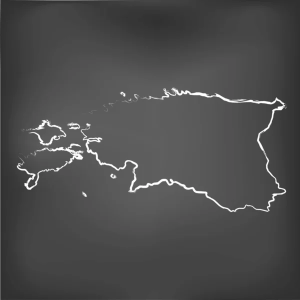
Chalked map on a chalk board of Estonia
Chalked map on a chalk board of  Estonia — Stock Photo, Image
Guyana with national flag on blue political 3D globe. 3D illustration.
Guyana National Flag Blue Political Globe Illustration — Stock Photo, Image
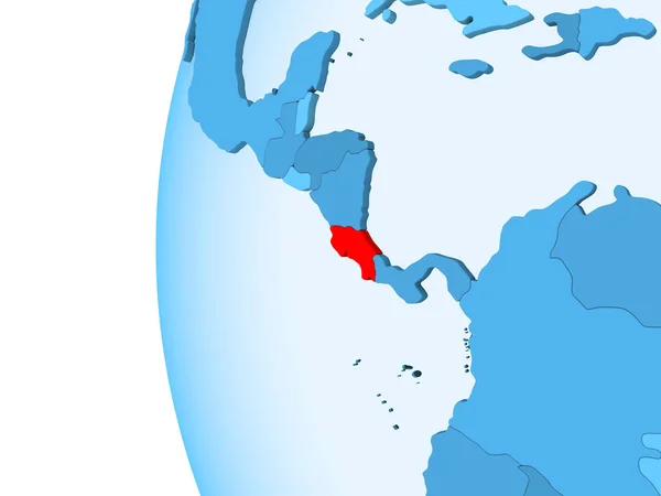
3D render of Costa Rica in red on blue political globe with transparent oceans. 3D illustration.
Render Costa Rica Red Blue Political Globe Transparent Oceans Illustration — Stock Photo, Image
Abstract flat colorful Abkhazia map.
Abstract Flat Colorful Abkhazia Map — Stock Photo, Image
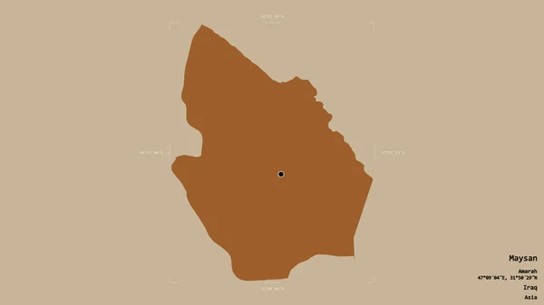
Area of Maysan, province of Iraq, isolated on a solid background in a georeferenced bounding box. Labels. Composition of patterned textures. 3D rendering
Area Maysan Province Iraq Isolated Solid Background Georeferenced Bounding Box — Stock Photo, Image
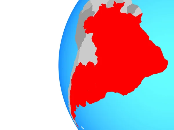
Mercosur memebers on blue political globe. 3D illustration.
Mercosur Memebers Blue Political Globe Illustration — Stock Photo, Image
Mercosur memebers on blue political globe. 3D illustration.
Mercosur Memebers Blue Political Globe Illustration — Stock Photo, Image

Cuba Map Images: High-Quality Stock Images for Your Projects

When it comes to creating stunning designs or adding a visual component to your projects, nothing does the job quite like a great image. If you are looking for maps of Cuba, you have come to the right place. We offer a collection of high-quality stock images that are sure to meet your needs.

The Available Images

Our collection of Cuba map images includes everything from illustrations to vector graphics and everything in between. We offer a variety of file formats, including JPG, AI, and EPS. These images are perfect for a wide range of purposes, including:

  • Travel websites and blogs
  • Infographics
  • Promotional materials such as brochures and flyers
  • Educational materials such as textbooks and presentations
  • Custom maps and other design projects

Choosing the Right Image

With so many options to choose from, it can be challenging to know which image is right for you. When selecting an image from our collection, consider the following:

  • The purpose of the image
  • The audience you are targeting
  • The tone and style of your project
  • The overall aesthetic you want to achieve

By taking the time to consider these factors, you can select an image that not only looks great but also enhances the impact of your project.

Tips for Using Images in Your Projects

Using images in your projects can elevate the level of impact and make them more visually appealing. Here are some tips for using images effectively:

  • Use images to break up large blocks of text
  • Consider the aspect ratio and size of the image to ensure it looks great and fits in with the overall design
  • Ensure that the image is relevant to the content it is paired with
  • Use high-quality images that are visually engaging

By following these tips, you can create stunning designs that are sure to make an impact.

In Conclusion

If you are in need of Cuba map images, our collection of high-quality stock images is an excellent place to start. With a variety of options to choose from, you are sure to find an image that meets your needs. When selecting an image, take the time to consider the purpose of your project, your target audience, and the overall aesthetic you wish to achieve. By doing so, you can create designs that are both visually pleasing and impactful.