Denmark map Stock Photos

100,000 Denmark map pictures are available under a royalty-free license

  • Best Match
  • Fresh
  • Popular
1-100 of 100,000
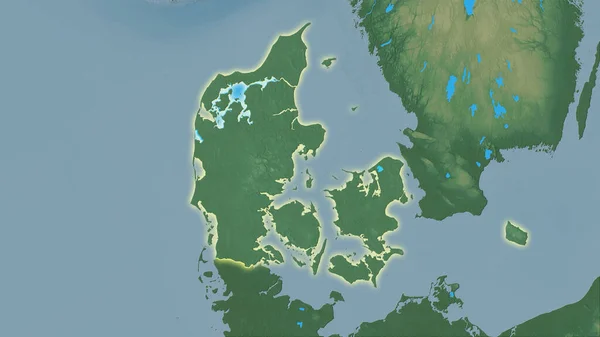
Denmark area on the topographic relief map in the stereographic projection - raw composition of raster layers with light glowing outline
Denmark Area Topographic Relief Map Stereographic Projection Raw Composition Raster — Stock Photo, Image
Viborg pinned on a map with the flag of Denmark
Viborg Pinned Map Flag Denmark — Stock Photo, Image
Aarhus pinned on a map with the flag of Denmark
Aarhus Pinned Map Flag Denmark — Stock Photo, Image
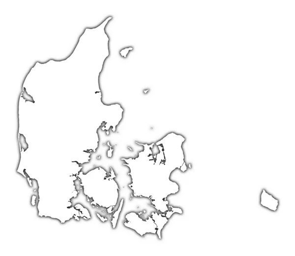
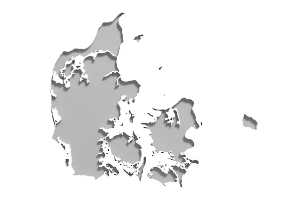
Denmark outline map with shadow
Denmark outline map with shadow — Stock Photo, Image
Denmark map multicultural group of young people integration dive
Denmark map multicultural group of young people integration dive — Stock Photo, Image
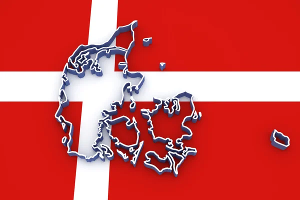
Three-dimensional map of Denmark.
Three-dimensional map of Denmark. — Stock Photo, Image
Three-dimensional map of Denmark.
Three-dimensional map of Denmark. — Stock Photo, Image
Three-dimensional map of Denmark.
Three-dimensional map of Denmark. — Stock Photo, Image
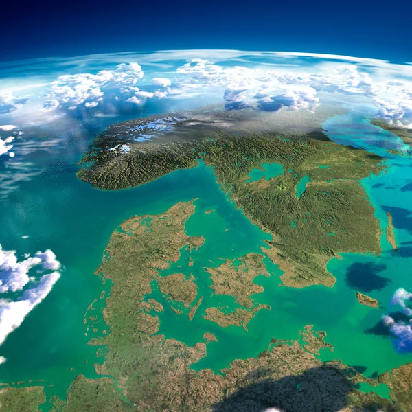
Fragments of the planet Earth. Denmark, Sweden and Norway
Fragments of the planet Earth. Denmark, Sweden and Norway — Stock Photo, Image
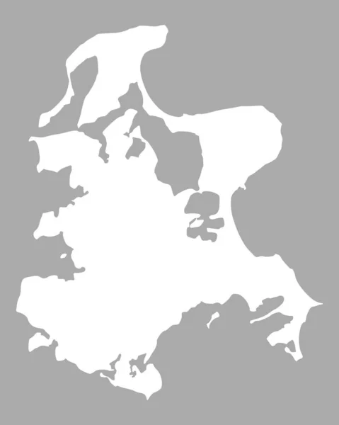
Map of Ruegen, geographical map
Map Ruegen Geographical Map — Stock Photo, Image
Map of Denmark filled with white color
Map Denmark Filled White Color — Stock Photo, Image
Polygonal Carcass Mesh High Resolution Raster Map of Heard and McDonald Islands Abstractions
Polygonal Carcass Mesh High Resolution Raster Map of Heard and McDonald Islands Abstractions — Stock Photo, Image
Polygonal Network Mesh High Resolution Raster Map of Maranhao State Abstractions
Polygonal Network Mesh High Resolution Raster Map of Maranhao State Abstractions — Stock Photo, Image
Luhans'k, region of Ukraine. Solid color shape
Luhans Region Ukraine Solid Color Shape — Stock Photo, Image
Luhans'k, region of Ukraine. Solid color shape
Luhans Region Ukraine Solid Color Shape — Stock Photo, Image
Denmark
Denmark — Stock Photo, Image
Polygonal Network Mesh High Detail Raster Map of Leningrad Region Abstractions
Polygonal Network Mesh High Detail Raster Map of Leningrad Region Abstractions — Stock Photo, Image
Map Qatar. Isolated Illustration. Black on White background.
Map Qatar Isolated Illustration Black White Background — Stock Photo, Image
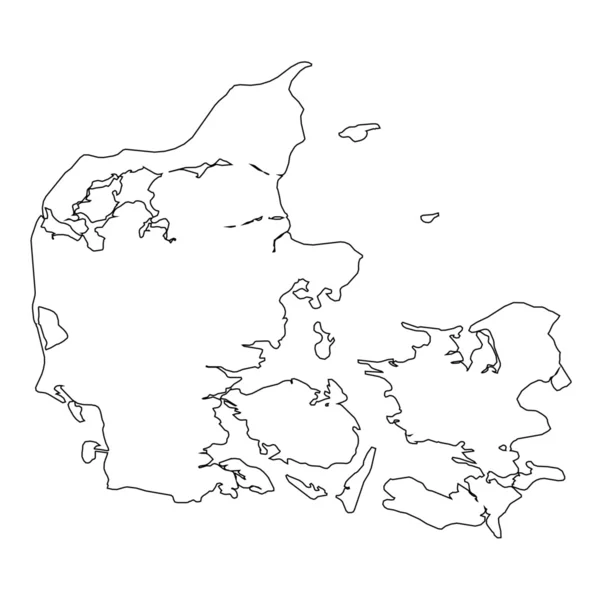
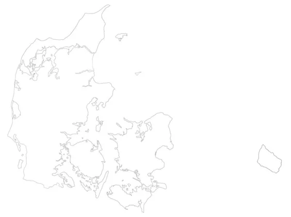
High detailed Outline of the country of Denmark
High detailed Outline of the country of  Denmark — Stock Photo, Image
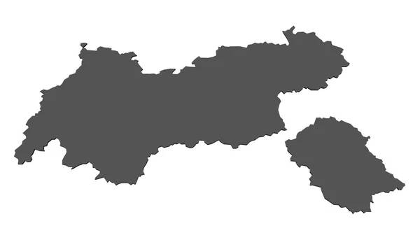
Map of Tyrol- isolated
Map of Tyrol- isolated — Stock Photo, Image
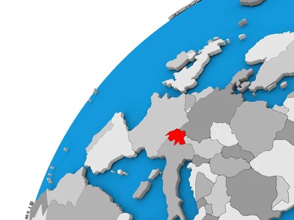
Switzerland on globe in red
Switzerland on globe in red — Stock Photo, Image
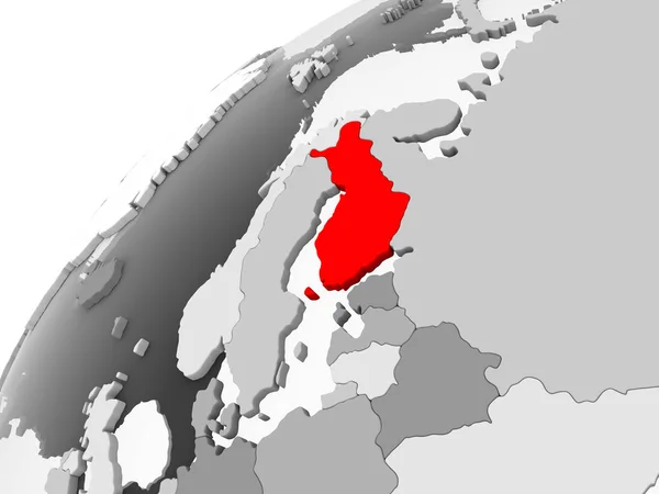
Map of Finland in red on grey political globe with transparent oceans. 3D illustration.
Map Finland Red Grey Political Globe Transparent Oceans Illustration — Stock Photo, Image
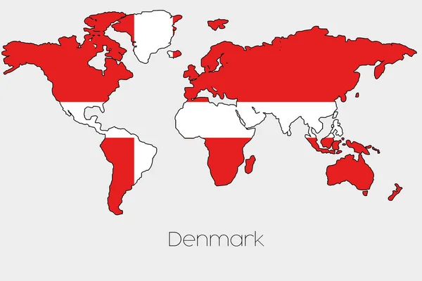
Flag Illustration inside the shape of a world map of the country
Flag Illustration inside the shape of a world map of the country — Stock Photo, Image
Krong Preah Sihanouk, municipality of Cambodia. Solid color shape. Locations and names of major cities of the region. Corner auxiliary location maps
Krong Preah Sihanouk Municipality Cambodia Solid Color Shape Locations Names — Stock Photo, Image
Map of the country of Denmark
Map of the country of Denmark — Stock Photo, Image
Polygonal Wire Frame Mesh High Detail Raster Map of Zeeland Province Abstractions
Polygonal Wire Frame Mesh High Detail Raster Map of Zeeland Province Abstractions — Stock Photo, Image
Map Democratic Republic of the Congo. Isolated Illustration. Black on White background.
Map Democratic Republic Congo Isolated Illustration Black White Background — Stock Photo, Image
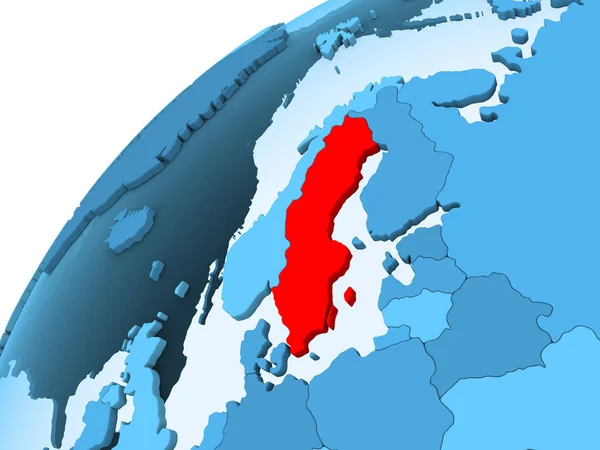
Sweden in red on blue model of political globe with transparent oceans. 3D illustration.
Sweden Red Blue Model Political Globe Transparent Oceans Illustration — Stock Photo, Image
Polygonal Network Mesh High Resolution Raster Map of Lower Saxony State Abstractions
Polygonal Network Mesh High Resolution Raster Map of Lower Saxony State Abstractions — Stock Photo, Image
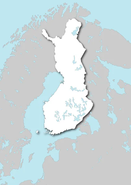
Map of Finland filled with white color
Map Finland Filled White Color — Stock Photo, Image
Germany map and federal states map vector transparent
Germany Map Federal States Map Vector Transparent — Stock Photo, Image
Map of Europe, digitally generated image
Map Europe Digitally Generated Image — Stock Photo, Image
Outline, map of Estonia
Outline Map Estonia — Stock Photo, Image
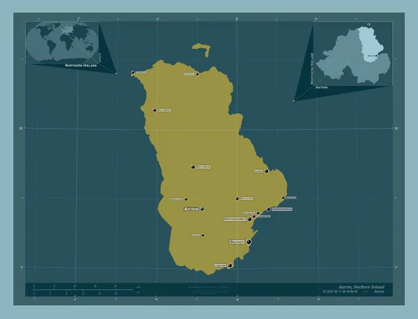
Antrim, region of Northern Ireland. Solid color shape. Locations and names of major cities of the region. Corner auxiliary location maps
Antrim Region Northern Ireland Solid Color Shape Locations Names Major — Stock Photo, Image
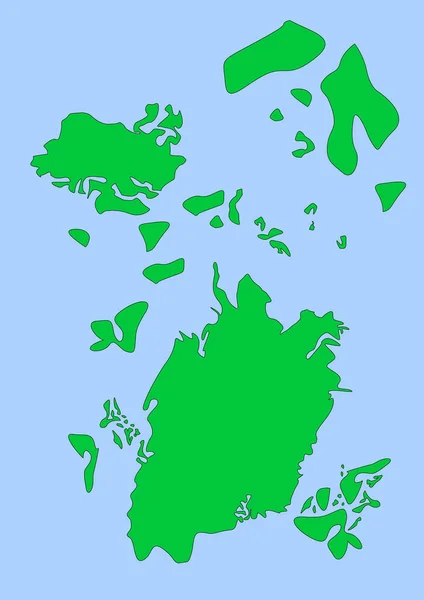
Imaginary map with green continents, blue ocean. Map for banner, poster, print, cover or wall decoration. Fictional country map.
Imaginary Map Green Continents Blue Ocean Map Banner Poster Print — Stock Photo, Image
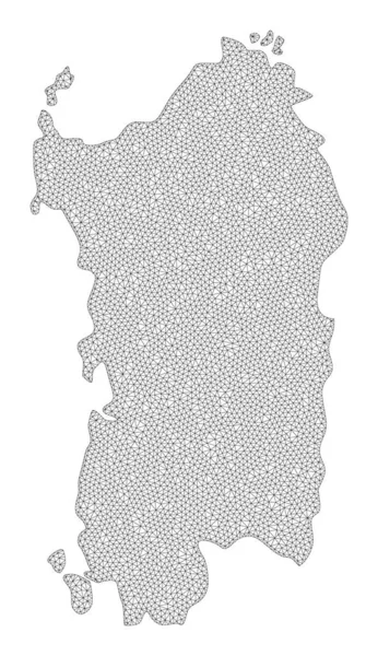
Polygonal Wire Frame Mesh High Resolution Raster Map of Sardinia Region Abstractions
Polygonal Wire Frame Mesh High Resolution Raster Map of Sardinia Region Abstractions — Stock Photo, Image
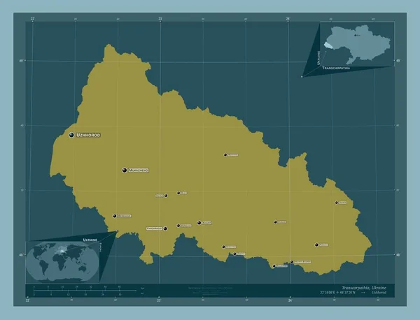
Transcarpathia, region of Ukraine. Solid color shape. Locations and names of major cities of the region. Corner auxiliary location maps
Transcarpathia Region Ukraine Solid Color Shape Locations Names Major Cities — Stock Photo, Image
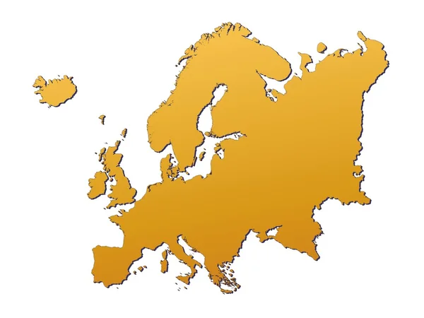
Illustration on an Orange background of Denmark
Illustration on an Orange background of Denmark — Stock Photo, Image
Estonia map on a white background
Estonia map on a white background — Stock Photo, Image
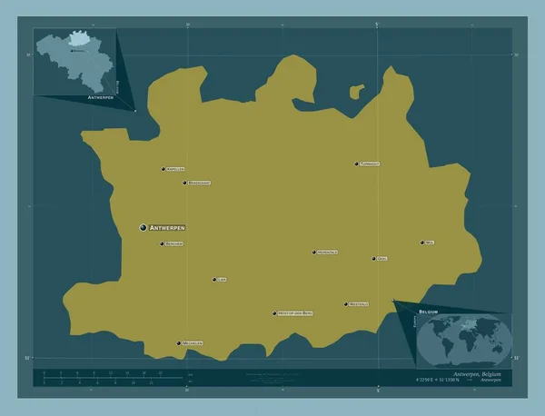
Antwerpen, province of Belgium. Solid color shape. Locations and names of major cities of the region. Corner auxiliary location maps
Antwerpen Province Belgium Solid Color Shape Locations Names Major Cities — Stock Photo, Image
High detailed Outline of the country of Norway
High detailed Outline of the country of  Norway — Stock Photo, Image
Denmark silhouette, black and white line drawing.
Denmark Silhouette Black White Line Drawing — Stock Photo, Image
Denmark silhouette, black and white line drawing.
Denmark Silhouette Black White Line Drawing — Stock Photo, Image
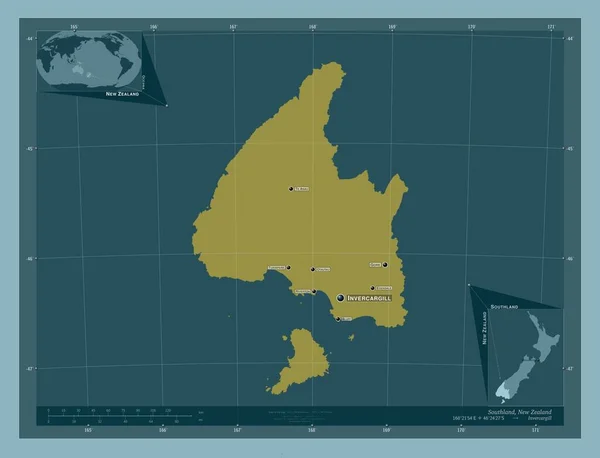
Southland, regional council of New Zealand. Solid color shape. Locations and names of major cities of the region. Corner auxiliary location maps
Southland Regional Council New Zealand Solid Color Shape Locations Names — Stock Photo, Image
Cuba on blue political globe
Cuba on blue political globe — Stock Photo, Image
Map of Denmark filled with green color
Map Denmark Filled Green Color — Stock Photo, Image
Polygonal Wire Frame Mesh High Resolution Raster Map of Bahrain Abstractions
Polygonal Wire Frame Mesh High Resolution Raster Map of Bahrain Abstractions — Stock Photo, Image
Polygonal 2D Mesh High Resolution Raster Map of Mykonos Island Abstractions
Polygonal 2D Mesh High Resolution Raster Map of Mykonos Island Abstractions — Stock Photo, Image
Estonia map on a white background
Estonia map on a white background — Stock Photo, Image
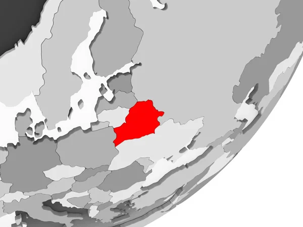
Illustration of Belarus highlighted in red on grey globe with transparent oceans. 3D illustration.
Illustration Belarus Highlighted Red Grey Globe Transparent Oceans Illustration — Stock Photo, Image
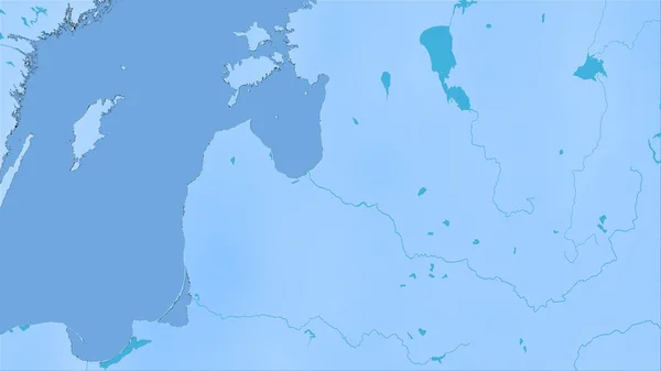
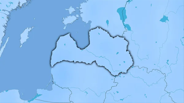
Latvia area on the annual precipitation map in the stereographic projection - raw composition of raster layers
Latvia Area Annual Precipitation Map Stereographic Projection Raw Composition Raster — Stock Photo, Image
Latvia area on the annual precipitation map in the stereographic projection - raw composition of raster layers
Latvia Area Annual Precipitation Map Stereographic Projection Raw Composition Raster — Stock Photo, Image
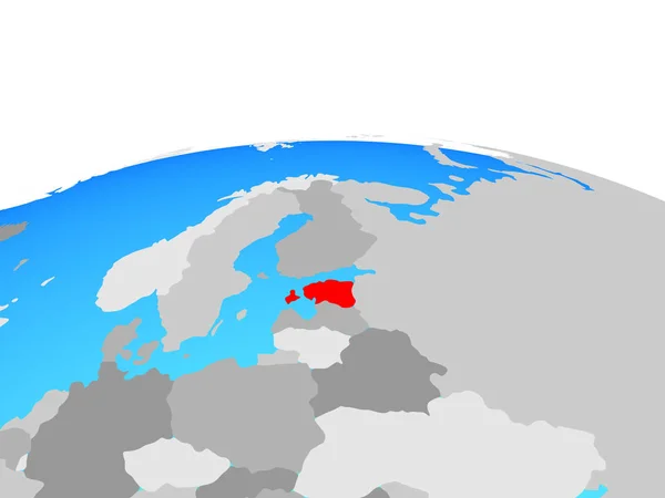
Estonia on political globe. 3D illustration.
Estonia Political Globe Illustration — Stock Photo, Image
Bolivia - Hand-Drawn Map lllustration
Bolivia Hand Drawn Map Lllustration — Stock Photo, Image
Denmark Flag Map Shape
Denmark Flag Map Shape — Stock Photo, Image
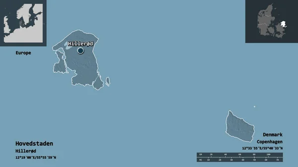
Shape of Hovedstaden, region of Denmark, and its capital. Distance scale, previews and labels. Colored elevation map. 3D rendering
Shape Hovedstaden Region Denmark Its Capital Distance Scale Previews Labels — Stock Photo, Image
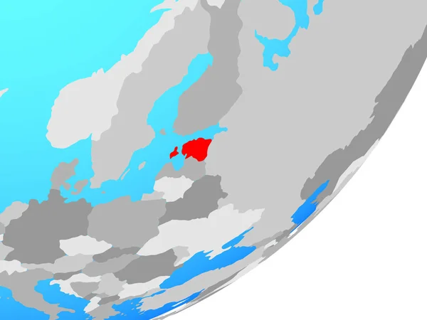
Estonia on blue political globe. 3D illustration.
Estonia Blue Political Globe Illustration — Stock Photo, Image
Europe map
Europe map — Stock Photo, Image
Flag of norway. vector illustration
Flag Norway Vector Illustration — Stock Photo, Image
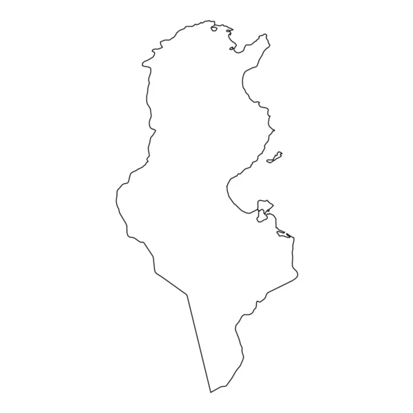
High detailed Outline of the country of Tunisia
High detailed Outline of the country of  Tunisia — Stock Photo, Image
Polygonal Network Mesh High Resolution Raster Map of Capri Island Abstractions
Polygonal Network Mesh High Resolution Raster Map of Capri Island Abstractions — Stock Photo, Image
Nepal in red on blue model of political globe with transparent oceans. 3D illustration.
Nepal Red Blue Model Political Globe Transparent Oceans Illustration — Stock Photo, Image
Map of Finland
Map of Finland — Stock Photo, Image
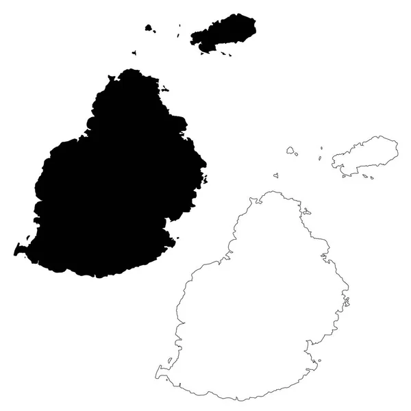
Map Mauritius. Isolated Illustration. Black on White background.
Map Mauritius Isolated Illustration Black White Background — Stock Photo, Image
Greenland in red on blue globe
Greenland in red on blue globe — Stock Photo, Image
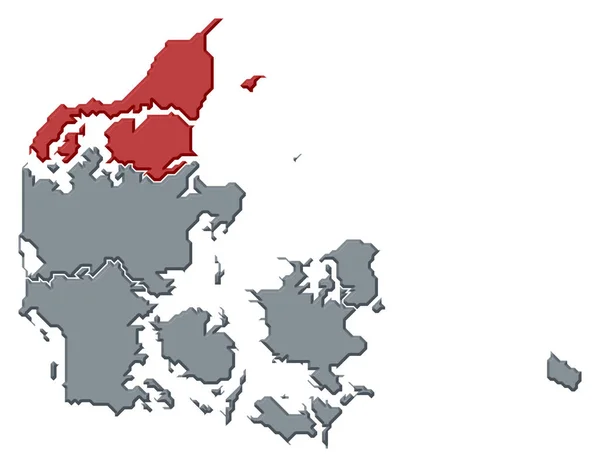
Political map of Danmark with the several regions where North Denmark is highlighted.
Political Map Danmark Several Regions North Denmark Highlighted — Stock Photo, Image
Polygonal Wire Frame Mesh High Resolution Raster Map of Saint John Island Abstractions
Polygonal Wire Frame Mesh High Resolution Raster Map of Saint John Island Abstractions — Stock Photo, Image
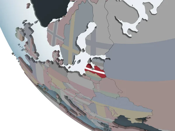
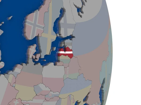
Latvia on political globe with embedded flag. 3D illustration.
Latvia Political Globe Embedded Flag Illustration — Stock Photo, Image
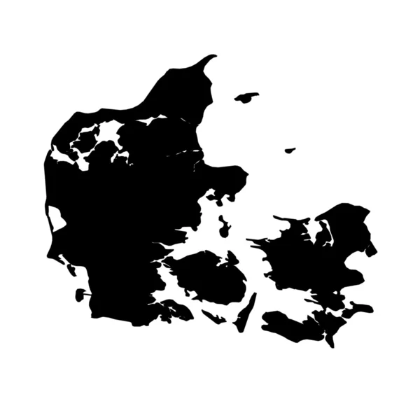
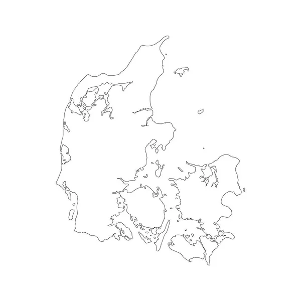
Map Denmark. Isolated Illustration. Black on White background.
Map Denmark Isolated Illustration Black White Background — Stock Photo, Image
Fictional map of imaginary world with green continents, blue ocean. Map for banner, poster, print, cover or wall decoration. Imaginary world.
Fictional Map Imaginary World Green Continents Blue Ocean Map Banner — Stock Photo, Image
Map of Azerbaijan
Map of Azerbaijan — Stock Photo, Image
Poland map on a white background
Poland map on a white background — Stock Photo, Image
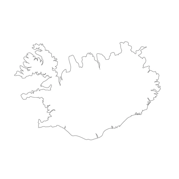
Map Iceland. Isolated Illustration. Black on White background.
Map Iceland Isolated Illustration Black White Background — Stock Photo, Image
The green polygons map
The green polygons map — Stock Photo, Image
Modern minimalistic colorful simple splash grunge style circles background. For posters or businesscards.
Modern Minimalistic Colorful Simple Splash Grunge Style Circles Background Posters — Stock Photo, Image
Polygonal 2D Mesh High Detail Raster Map of Madhya Pradesh State Abstractions
Polygonal 2D Mesh High Detail Raster Map of Madhya Pradesh State Abstractions — Stock Photo, Image
3d rendering of a Denmark map on white background.
3d rendering of a Denmark map on white background. — Stock Photo, Image
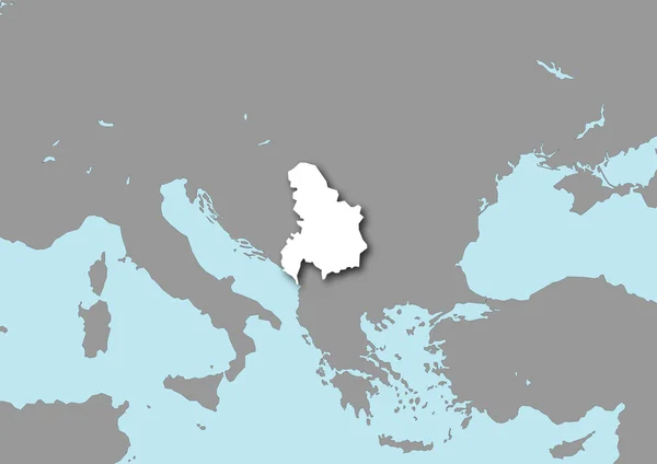
Map of Yugoslavia
Map of Yugoslavia — Stock Photo, Image
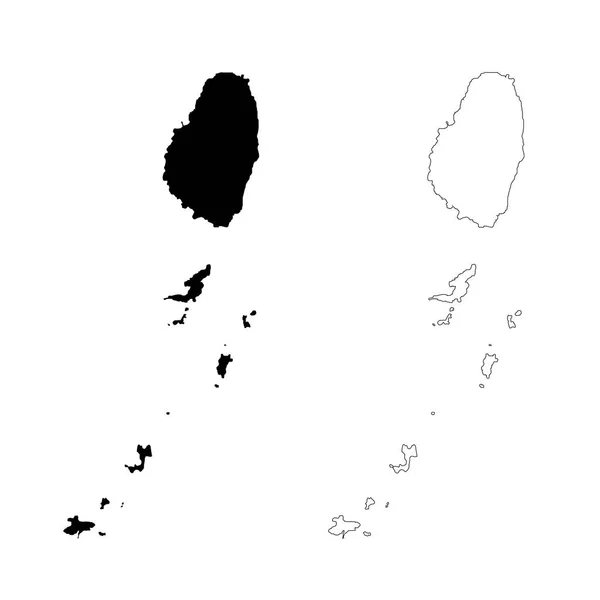
Map Saint Vincent and the Grenadines. Isolated Illustration. Black on White background.
Map Saint Vincent Grenadines Isolated Illustration Black White Background — Stock Photo, Image
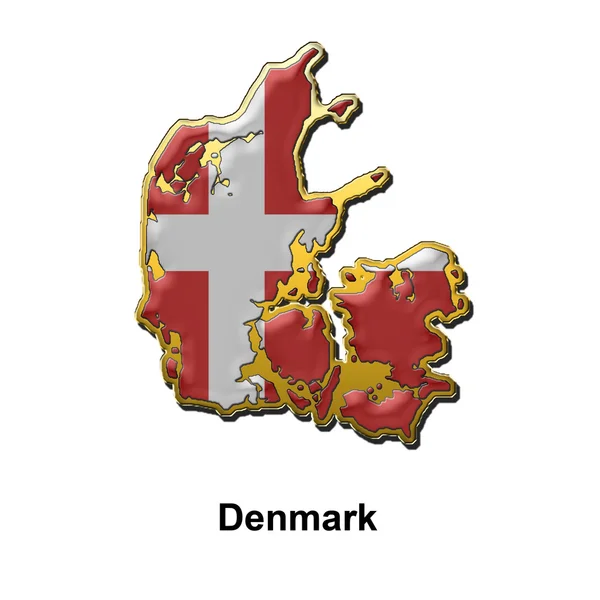
Denmark metal pin badge
Denmark metal pin badge — Stock Photo, Image
Polygonal Carcass Mesh High Detail Raster Map of Lombok Island Abstractions
Polygonal Carcass Mesh High Detail Raster Map of Lombok Island Abstractions — Stock Photo, Image
Map Norway. Isolated Illustration. Black on White background.
Map Norway Isolated Illustration Black White Background — Stock Photo, Image
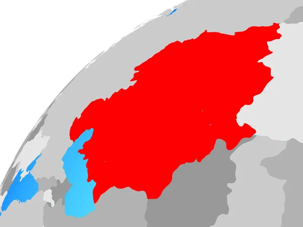
Central Asia on globe. 3D illustration.
Central Asia Globe Illustration — Stock Photo, Image
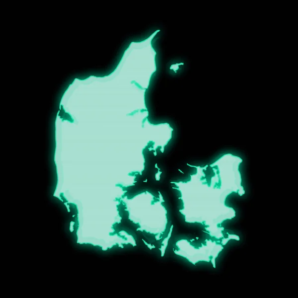
Map of Denmark, old green computer terminal screen, on dark background
Map Denmark Old Green Computer Terminal Screen Dark Background — Stock Photo, Image
Nord, region of Burkina Faso. Solid color shape. Locations and names of major cities of the region. Corner auxiliary location maps
Nord Region Burkina Faso Solid Color Shape Locations Names Major — Stock Photo, Image
Map of Germany with grass and soil. 3D rendering
Map of Germany with grass and soil. 3D rendering — Stock Photo, Image
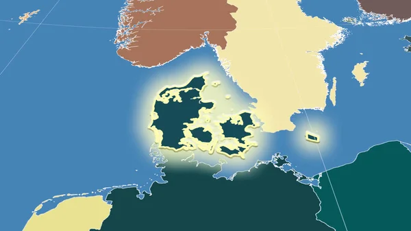
Denmark and its neighborhood. Distant oblique perspective - shape glowed. color map of administrative divisions
Denmark Its Neighborhood Distant Oblique Perspective Shape Glowed Color Map — Stock Photo, Image
Latvia area on the annual precipitation map in the stereographic projection - raw composition of raster layers with dark glowing outline
Latvia Area Annual Precipitation Map Stereographic Projection Raw Composition Raster — Stock Photo, Image
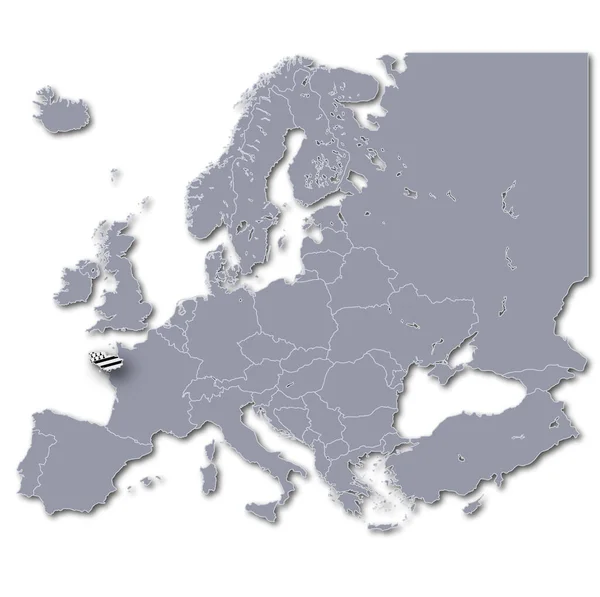
Europe map with brittany
Europe Map Brittany — Stock Photo, Image
Latvia on political globe with embedded flag. 3D illustration.
Latvia Political Globe Embedded Flag Illustration — Stock Photo, Image
Black white textured pattern, abstract background
Black White Textured Pattern Abstract Background — Stock Photo, Image
Baltic States on simple political 3D globe. 3D illustration.
Baltic States Simple Political Globe Illustration — Stock Photo, Image
3D map on blue water background of Tunisia
3D map on blue water background of  Tunisia — Stock Photo, Image
Polygonal 2D Mesh High Detail Raster Map of Mauritius Island Abstractions
Polygonal 2D Mesh High Detail Raster Map of Mauritius Island Abstractions — Stock Photo, Image
Latvia with its flag
Latvia with its flag — Stock Photo, Image
Estonia map on a white background
Estonia map on a white background — Stock Photo, Image
Estonia map on a white background
Estonia map on a white background — Stock Photo, Image
Shape of Shinyanga, region of Tanzania, with its capital isolated on white background. Bilevel elevation map. 3D rendering
Shape Shinyanga Region Tanzania Its Capital Isolated White Background Bilevel — Stock Photo, Image
Berlin, state of Germany. Solid color shape. Locations and names of major cities of the region. Corner auxiliary location maps
Berlin State Germany Solid Color Shape Locations Names Major Cities — Stock Photo, Image

Discover the Best Denmark Map Images for Your Projects

If you're looking for high-quality images of Denmark maps, you've come to the right place. Our collection offers a variety of stock images in JPG, AI, and EPS file formats, perfect for designers, content creators, and anyone in need of visual aid for their projects.

Explore the Variety of Denmark Map Images

Our collection of Denmark map images offers a variety of styles, colors, and perspectives to suit any creative need. From simple black and white outlines to detailed illustrations featuring landmarks and geographical features, we have it all.

Whether you're creating a presentation for business purposes or designing a travel blog, our Denmark map images will make your project look professional and visually engaging.

Choose from abstract designs, artistic renderings, and realistic depictions of Denmark's landscapes and cities. With so many options to choose from, you're sure to find the perfect match for your project.

The Importance of Choosing the Right Image

Choosing the right image for your project can make all the difference. When selecting a Denmark map image, consider the purpose of your project and the emotions you want to evoke in your audience.

If you're creating a marketing campaign for a travel agency, using a colorful and detailed map of Denmark can help entice potential customers and create a sense of excitement and wanderlust. Conversely, if you're creating a report for a business audience, a minimalistic and straightforward map may be more appropriate.

Remember, the image you choose will be the first thing your audience sees, and it will create the first impression for your project. Make sure it's the right one.

Where to Use Denmark Map Images

Denmark map images can be used in a variety of projects, from educational materials to corporate presentations, from travel blogs to infographics. They can also be used as decorative elements in modern interiors, as part of a wall mural or poster.

Our images are versatile, and their high resolution ensures their clarity and quality at any size, making them ideal for both print and screen use.

Using Denmark map images in your projects can help boost their appeal and create a better user experience. With our collection, you can choose the best image to match your project's specific needs and objectives.

Conclusion

Our collection of Denmark map images offers a wide variety of high-quality visuals to suit any creative need. Whether you're creating a marketing campaign, designing a travel blog, or decorating your home, our images will help elevate your project and create a lasting impact on your audience.

Remember to choose the right image for your project and consider how it will affect your audience. With our images, you can rest assured that you're making the best choice for your creative endeavors.