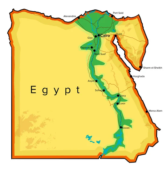
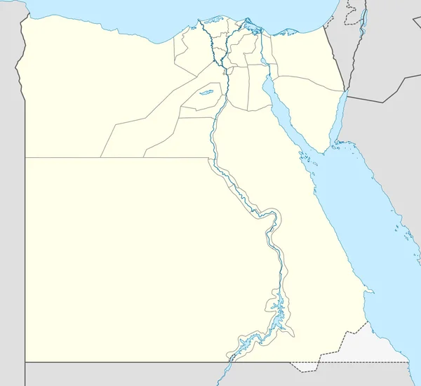
Egypt map, rivers, roads and cities. Hand drawn map. North Africa cartography
Egypt Map Rivers Roads Cities Hand Drawn Map North Africa — Stock Photo, Image
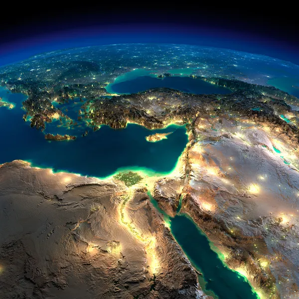
Night Earth. Africa and Middle East
Night Earth. Africa and Middle East — Stock Photo, Image
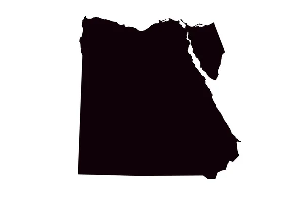
Egypt Map Flag Shape
Egypt Map Flag Shape — Stock Photo, Image
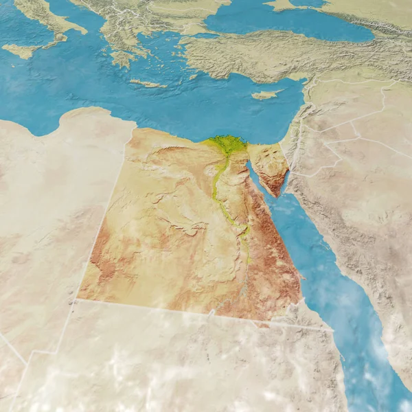
Physical map with reliefs of Egypt. 3d map of north Africa, Europe and Asia. 3d rendering
Physical Map Reliefs Egypt Map North Africa Europe Asia Rendering — Stock Photo, Image
Arab Republic of Egypt map
Arab Republic of Egypt map — Stock Photo, Image
Egypt map
Egypt map — Stock Photo, Image
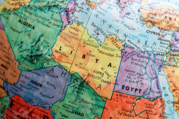
Old Print Map,terrestrial globe, africa,
Old Print Map Terrestrial Globe Africa — Stock Photo, Image
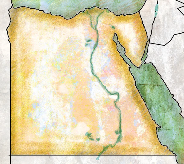
Map of Egypt, antique effect, parchment
Map of Egypt, antique effect, parchment — Stock Photo, Image
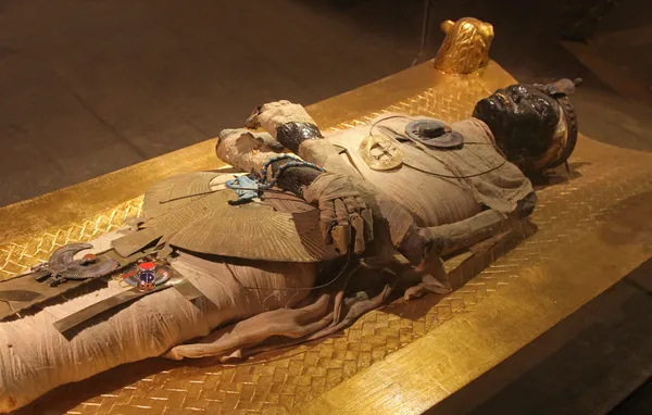
Egyptian mummy
Egyptian mummy — Stock Photo, Image
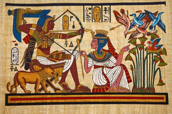
Egyptian Papyrus
Egyptian Papyrus — Stock Photo, Image
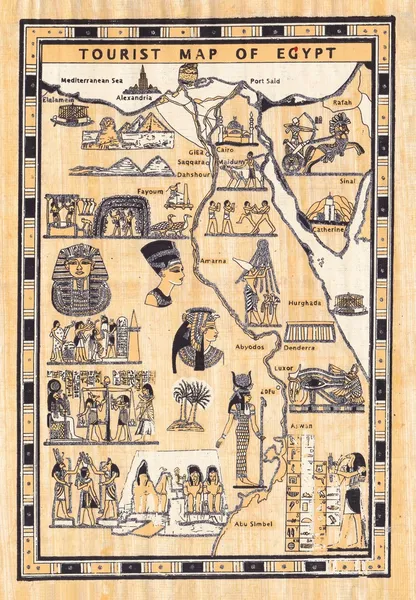
Tourist map of egypt painted on papyrus
Tourist map of egypt painted on papyrus — Stock Photo, Image
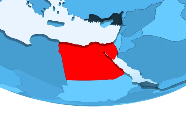
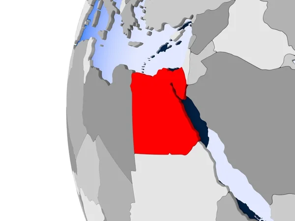
Illustration of Egypt highlighted in red on blue globe with transparent oceans. 3D illustration.
Illustration Egypt Highlighted Red Blue Globe Transparent Oceans Illustration — Stock Photo, Image
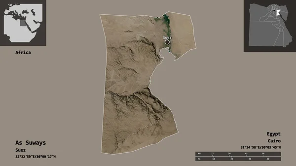
Shape of As Suways, governorate of Egypt, and its capital. Distance scale, previews and labels. Satellite imagery. 3D rendering
Shape Suways Governorate Egypt Its Capital Distance Scale Previews Labels — Stock Photo, Image
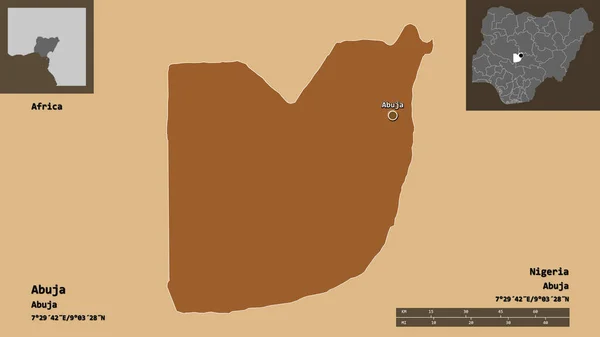
Shape of Abuja, federal capital territory of Nigeria, and its capital. Distance scale, previews and labels. Composition of regularly patterned textures. 3D rendering
Shape Abuja Federal Capital Territory Nigeria Its Capital Distance Scale — Stock Photo, Image
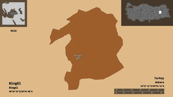
Shape of Bingol, province of Turkey, and its capital. Distance scale, previews and labels. Composition of patterned textures. 3D rendering
Shape Bingol Province Turkey Its Capital Distance Scale Previews Labels — Stock Photo, Image
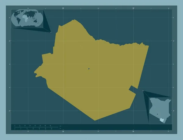
Taita Taveta, county of Kenya. Solid color shape. Corner auxiliary location maps
Taita Taveta County Kenya Solid Color Shape Corner Auxiliary Location — Stock Photo, Image
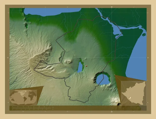
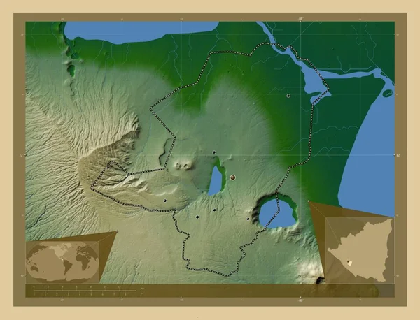
Masaya, department of Nicaragua. Colored elevation map with lakes and rivers. Corner auxiliary location maps
Masaya Department Nicaragua Colored Elevation Map Lakes Rivers Corner Auxiliary — Stock Photo, Image
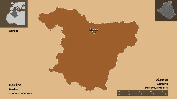
Shape of Bouira, province of Algeria, and its capital. Distance scale, previews and labels. Composition of patterned textures. 3D rendering
Shape Bouira Province Algeria Its Capital Distance Scale Previews Labels — Stock Photo, Image
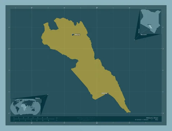
Makueni, county of Kenya. Solid color shape. Locations and names of major cities of the region. Corner auxiliary location maps
Makueni County Kenya Solid Color Shape Locations Names Major Cities — Stock Photo, Image
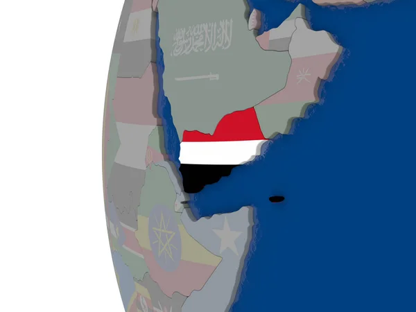
Yemen with national flag
Yemen with national flag — Stock Photo, Image
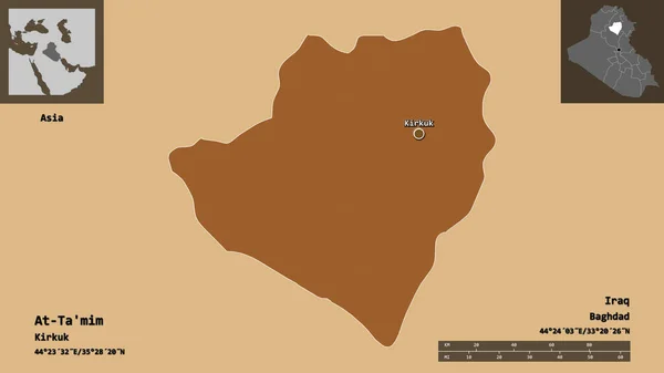
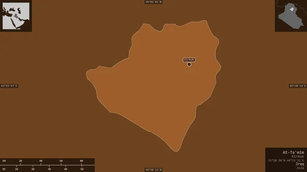
Shape of At-Ta'mim, province of Iraq, and its capital. Distance scale, previews and labels. Composition of patterned textures. 3D rendering
Shape Mim Province Iraq Its Capital Distance Scale Previews Labels — Stock Photo, Image
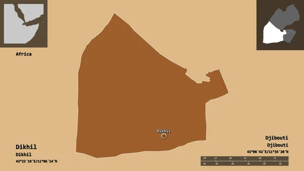
Shape of Dikhil, region of Djibouti, and its capital. Distance scale, previews and labels. Composition of patterned textures. 3D rendering
Shape Dikhil Region Djibouti Its Capital Distance Scale Previews Labels — Stock Photo, Image
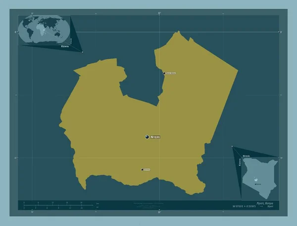
Nyeri, county of Kenya. Solid color shape. Locations and names of major cities of the region. Corner auxiliary location maps
Nyeri County Kenya Solid Color Shape Locations Names Major Cities — Stock Photo, Image
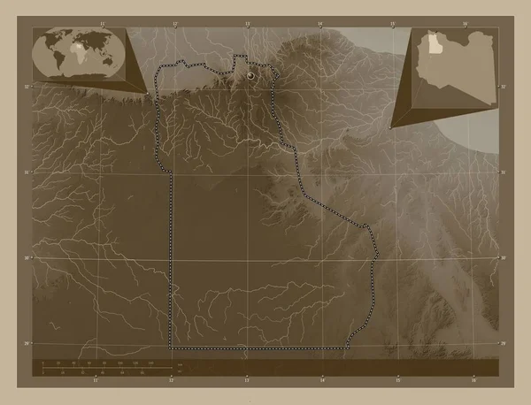
Al Jabal al Gharbi, district of Libya. Elevation map colored in sepia tones with lakes and rivers. Corner auxiliary location maps
Jabal Gharbi District Libya Elevation Map Colored Sepia Tones Lakes — Stock Photo, Image
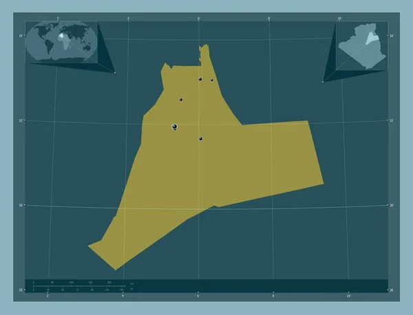
Ouargla, province of Algeria. Solid color shape. Locations of major cities of the region. Corner auxiliary location maps
Ouargla Province Algeria Solid Color Shape Locations Major Cities Region — Stock Photo, Image
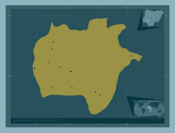
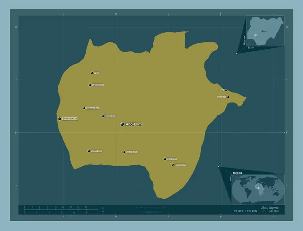
Ekiti, state of Nigeria. Solid color shape. Locations of major cities of the region. Corner auxiliary location maps
Ekiti State Nigeria Solid Color Shape Locations Major Cities Region — Stock Photo, Image
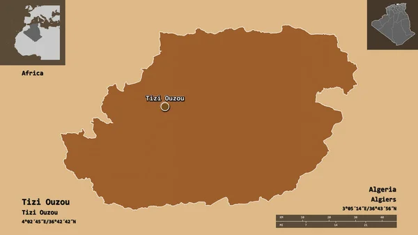
Shape of Tizi Ouzou, province of Algeria, and its capital. Distance scale, previews and labels. Composition of patterned textures. 3D rendering
Shape Tizi Ouzou Province Algeria Its Capital Distance Scale Previews — Stock Photo, Image
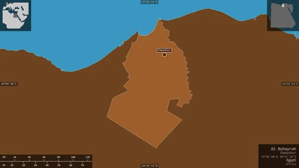
Al Buhayrah, governorate of Egypt. Patterned solids with lakes and rivers. Shape presented against its country area with informative overlays. 3D rendering
Buhayrah Governorate Egypt Patterned Solids Lakes Rivers Shape Presented Its — Stock Photo, Image
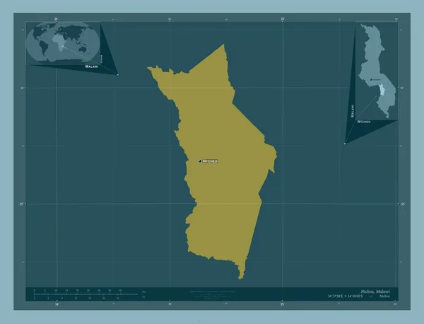
Ntcheu, district of Malawi. Solid color shape. Locations and names of major cities of the region. Corner auxiliary location maps
Ntcheu District Malawi Solid Color Shape Locations Names Major Cities — Stock Photo, Image
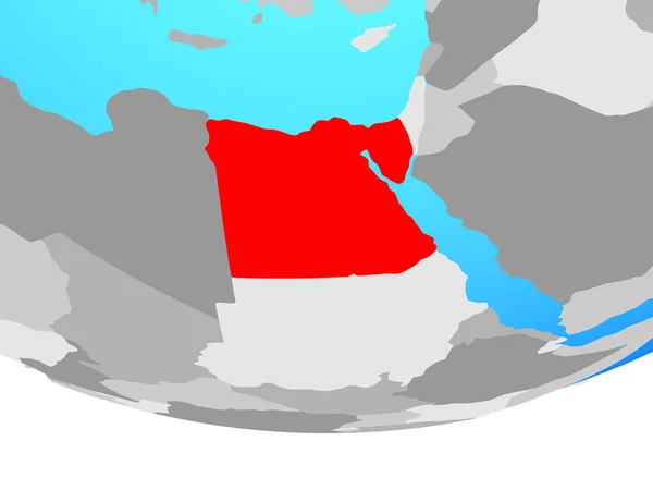
Egypt on simple political globe. 3D illustration.
Egypt Simple Political Globe Illustration — Stock Photo, Image
Al Marqab, district of Libya. Solid color shape. Locations of major cities of the region. Corner auxiliary location maps
Marqab District Libya Solid Color Shape Locations Major Cities Region — Stock Photo, Image
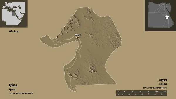
Shape of Qina, governorate of Egypt, and its capital. Distance scale, previews and labels. Colored elevation map. 3D rendering
Shape Qina Governorate Egypt Its Capital Distance Scale Previews Labels — Stock Photo, Image
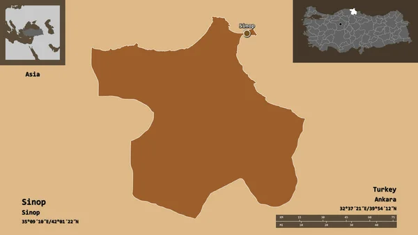
Shape of Sinop, province of Turkey, and its capital. Distance scale, previews and labels. Composition of patterned textures. 3D rendering
Shape Sinop Province Turkey Its Capital Distance Scale Previews Labels — Stock Photo, Image
At-Ta'mim, province of Iraq. Patterned solids with lakes and rivers. Shape presented against its country area with informative overlays. 3D rendering
Mim Province Iraq Patterned Solids Lakes Rivers Shape Presented Its — Stock Photo, Image
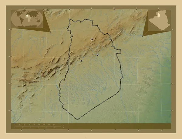
El Bayadh, province of Algeria. Colored elevation map with lakes and rivers. Locations of major cities of the region. Corner auxiliary location maps
Bayadh Province Algeria Colored Elevation Map Lakes Rivers Locations Major — Stock Photo, Image
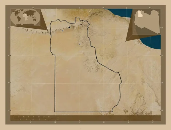
Al Jabal al Gharbi, district of Libya. Low resolution satellite map. Locations of major cities of the region. Corner auxiliary location maps
Jabal Gharbi District Libya Low Resolution Satellite Map Locations Major — Stock Photo, Image
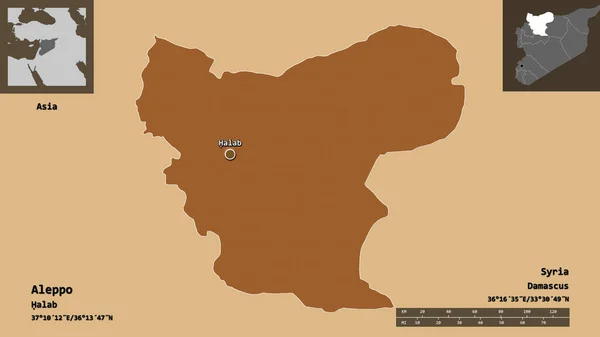
Shape of Aleppo, province of Syria, and its capital. Distance scale, previews and labels. Composition of patterned textures. 3D rendering
Shape Aleppo Province Syria Its Capital Distance Scale Previews Labels — Stock Photo, Image
Map of Egypt on political globe
Map of Egypt on political globe — Stock Photo, Image
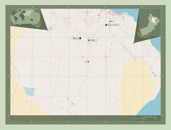
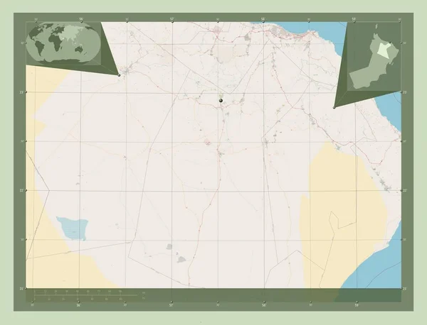
Ad Dakhliyah, region of Oman. Open Street Map. Corner auxiliary location maps
Dakhliyah Region Oman Open Street Map Corner Auxiliary Location Maps — Stock Photo, Image
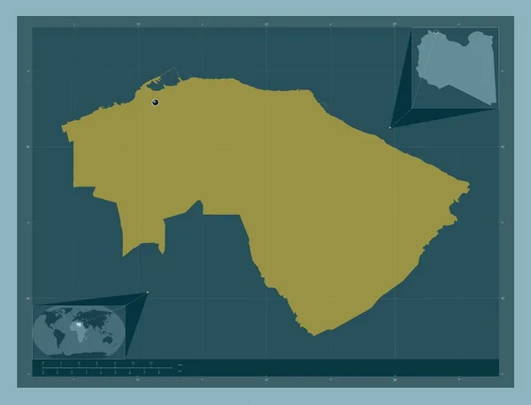
Wadi ash Shati', district of Libya. Solid color shape. Corner auxiliary location maps
Wadi Ash Shati District Libya Solid Color Shape Corner Auxiliary — Stock Photo, Image
Masaya, department of Nicaragua. Colored elevation map with lakes and rivers. Locations of major cities of the region. Corner auxiliary location maps
Masaya Department Nicaragua Colored Elevation Map Lakes Rivers Locations Major — Stock Photo, Image
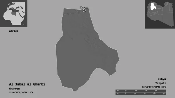
Shape of Al Jabal al Gharbi, district of Libya, and its capital. Distance scale, previews and labels. Bilevel elevation map. 3D rendering
Shape Jabal Gharbi District Libya Its Capital Distance Scale Previews — Stock Photo, Image
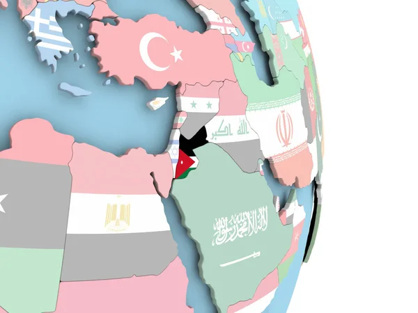
Jordan with flag on globe
Jordan with flag on globe — Stock Photo, Image
Tripoli, district of Libya. Solid color shape. Corner auxiliary location maps
Tripoli District Libya Solid Color Shape Corner Auxiliary Location Maps — Stock Photo, Image
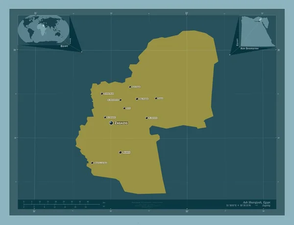
Ash Sharqiyah, governorate of Egypt. Solid color shape. Locations and names of major cities of the region. Corner auxiliary location maps
Ash Sharqiyah Governorate Egypt Solid Color Shape Locations Names Major — Stock Photo, Image
Israel on gray political globe with embedded flag. 3D illustration.
Israel Gray Political Globe Embedded Flag Illustration — Stock Photo, Image
Area of Bay, region of Somalia, isolated on a solid background in a georeferenced bounding box. Labels. Composition of patterned textures. 3D rendering
Area Bay Region Somalia Isolated Solid Background Georeferenced Bounding Box — Stock Photo, Image
Shape of Al Minya, governorate of Egypt, and its capital. Distance scale, previews and labels. Composition of patterned textures. 3D rendering
Shape Minya Governorate Egypt Its Capital Distance Scale Previews Labels — Stock Photo, Image
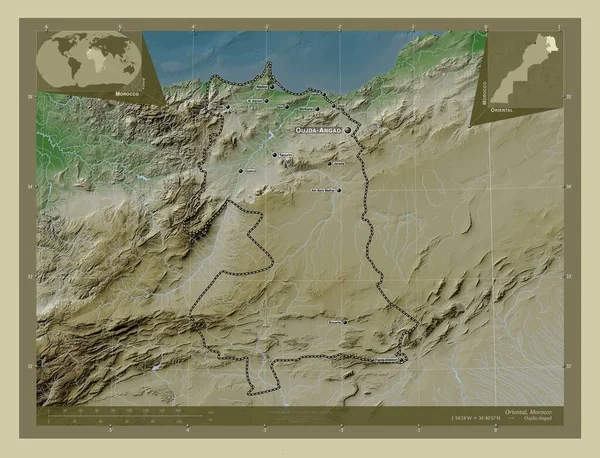
Oriental, region of Morocco. Elevation map colored in wiki style with lakes and rivers. Locations and names of major cities of the region. Corner auxiliary location maps
Oriental Region Morocco Elevation Map Colored Wiki Style Lakes Rivers — Stock Photo, Image
Egypt in red
Egypt in red — Stock Photo, Image
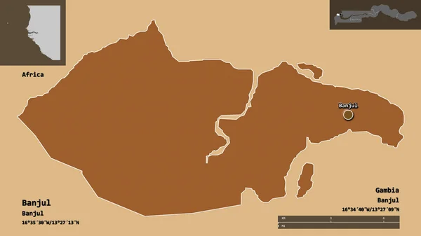
Shape of Banjul, independent city of Gambia, and its capital. Distance scale, previews and labels. Composition of patterned textures. 3D rendering
Shape Banjul Independent City Gambia Its Capital Distance Scale Previews — Stock Photo, Image
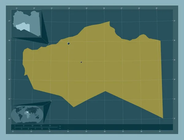
Murzuq, district of Libya. Solid color shape. Locations of major cities of the region. Corner auxiliary location maps
Murzuq District Libya Solid Color Shape Locations Major Cities Region — Stock Photo, Image
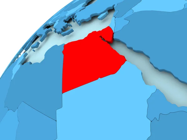
Egypt on blue globe
Egypt on blue globe — Stock Photo, Image
Tadjourah, region of Djibouti. Solid color shape. Locations and names of major cities of the region. Corner auxiliary location maps
Tadjourah Region Djibouti Solid Color Shape Locations Names Major Cities — Stock Photo, Image
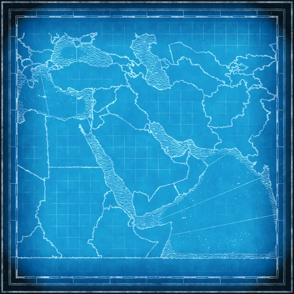
Middle East map blueprint
Middle East map blueprint — Stock Photo, Image
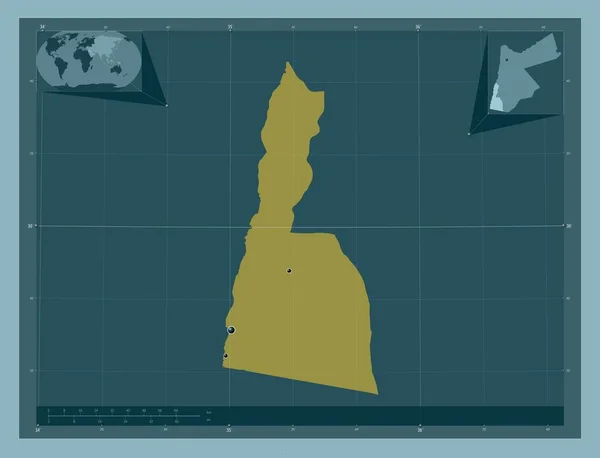
Aqaba, province of Jordan. Solid color shape. Locations of major cities of the region. Corner auxiliary location maps
Aqaba Province Jordan Solid Color Shape Locations Major Cities Region — Stock Photo, Image
Al Minya, governorate of Egypt. Elevation map colored in wiki style with lakes and rivers. Corner auxiliary location maps
Minya Governorate Egypt Elevation Map Colored Wiki Style Lakes Rivers — Stock Photo, Image
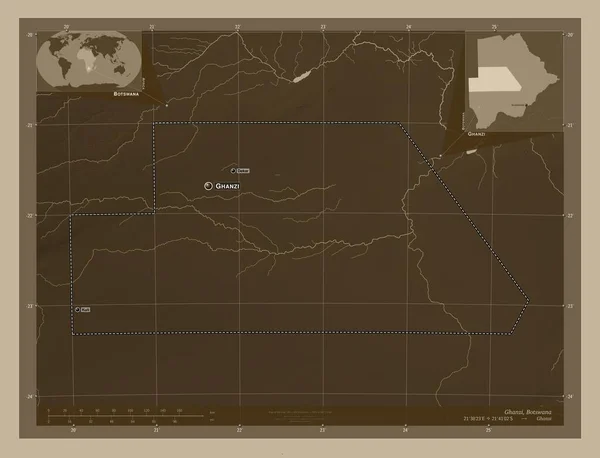
Ghanzi, district of Botswana. Elevation map colored in sepia tones with lakes and rivers. Locations and names of major cities of the region. Corner auxiliary location maps
Ghanzi District Botswana Elevation Map Colored Sepia Tones Lakes Rivers — Stock Photo, Image
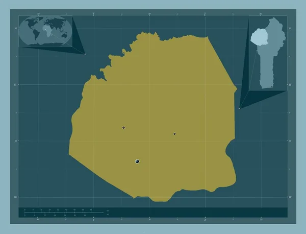
Atakora, department of Benin. Solid color shape. Locations of major cities of the region. Corner auxiliary location maps
Atakora Department Benin Solid Color Shape Locations Major Cities Region — Stock Photo, Image
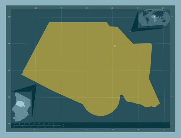
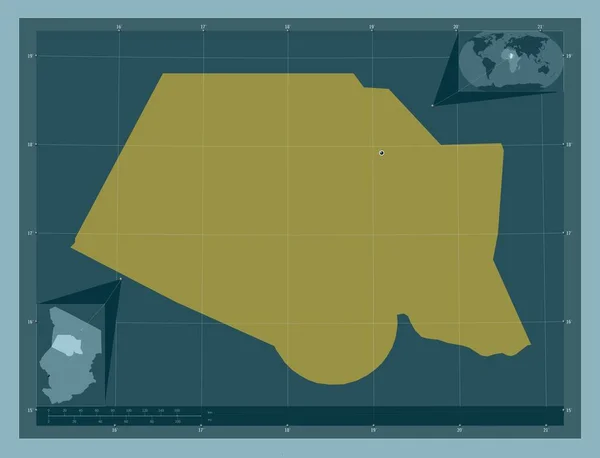
Borkou, region of Chad. Solid color shape. Corner auxiliary location maps
Borkou Region Chad Solid Color Shape Corner Auxiliary Location Maps — Stock Photo, Image
Borkou, region of Chad. Solid color shape. Locations of major cities of the region. Corner auxiliary location maps
Borkou Region Chad Solid Color Shape Locations Major Cities Region — Stock Photo, Image
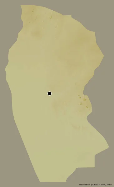
Shape of West Kurdufan, state of Sudan, with its capital isolated on a solid color background. Topographic relief map. 3D rendering
Shape West Kurdufan State Sudan Its Capital Isolated Solid Color — Stock Photo, Image
Nalut, district of Libya. Colored elevation map with lakes and rivers. Locations of major cities of the region. Corner auxiliary location maps
Nalut District Libya Colored Elevation Map Lakes Rivers Locations Major — Stock Photo, Image
Ad Dakhliyah, region of Oman. Open Street Map. Locations and names of major cities of the region. Corner auxiliary location maps
Dakhliyah Region Oman Open Street Map Locations Names Major Cities — Stock Photo, Image
Egypt on grey political globe
Egypt on grey political globe — Stock Photo, Image
Israel with embedded national flag on blue political globe. 3D illustration.
Israel Embedded National Flag Blue Political Globe Illustration — Stock Photo, Image
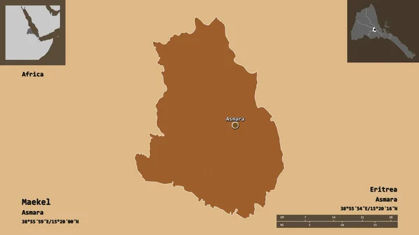
Shape of Maekel, region of Eritrea, and its capital. Distance scale, previews and labels. Composition of patterned textures. 3D rendering
Shape Maekel Region Eritrea Its Capital Distance Scale Previews Labels — Stock Photo, Image
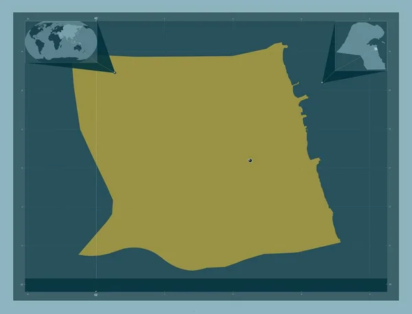
Mubarak Al-Kabeer, province of Kuwait. Solid color shape. Corner auxiliary location maps
Mubarak Kabeer Province Kuwait Solid Color Shape Corner Auxiliary Location — Stock Photo, Image
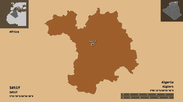
Shape of Setif, province of Algeria, and its capital. Distance scale, previews and labels. Composition of patterned textures. 3D rendering
Shape Setif Province Algeria Its Capital Distance Scale Previews Labels — Stock Photo, Image
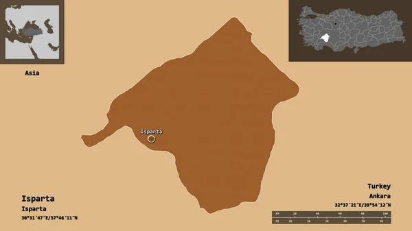
Shape of Isparta, province of Turkey, and its capital. Distance scale, previews and labels. Composition of patterned textures. 3D rendering
Shape Isparta Province Turkey Its Capital Distance Scale Previews Labels — Stock Photo, Image
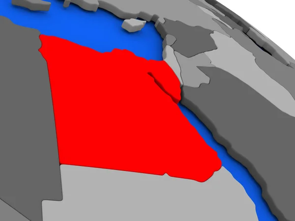
Egypt in red on model of political globe with transparent oceans. 3D illustration.
Egypt Red Model Political Globe Transparent Oceans Illustration — Stock Photo, Image
Ecuador on globe
Ecuador on globe — Stock Photo, Image
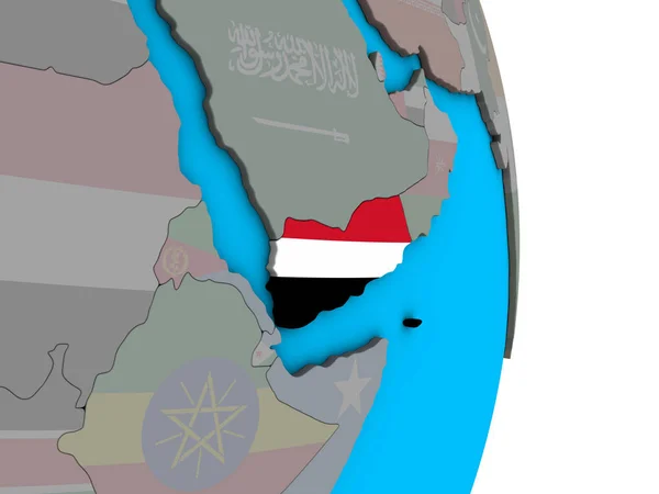
Yemen with embedded national flag on simple political 3D globe. 3D illustration.
Yemen Embedded National Flag Simple Political Globe Illustration — Stock Photo, Image
Yemen with embedded national flag on simple political 3D globe. 3D illustration.
Yemen Embedded National Flag Simple Political Globe Illustration — Stock Photo, Image
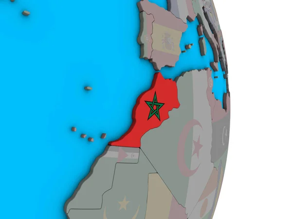
Morocco with embedded national flag on simple political 3D globe. 3D illustration.
Morocco Embedded National Flag Simple Political Globe Illustration — Stock Photo, Image
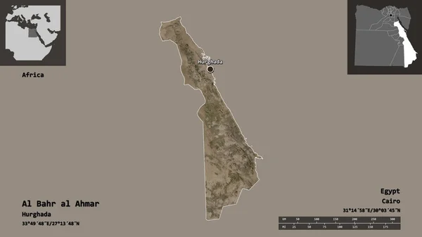
Shape of Al Bahr al Ahmar, governorate of Egypt, and its capital. Distance scale, previews and labels. Satellite imagery. 3D rendering
Shape Bahr Ahmar Governorate Egypt Its Capital Distance Scale Previews — Stock Photo, Image
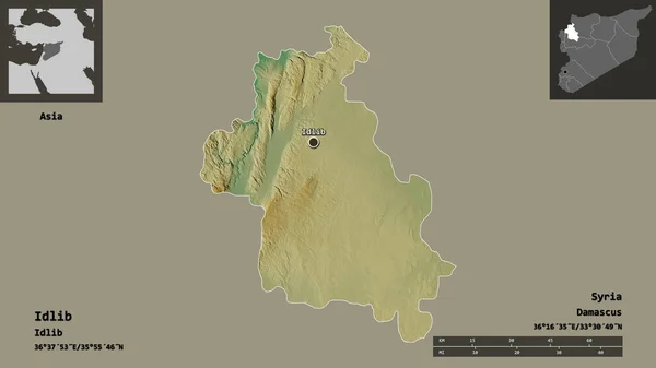
Shape of Idlib, province of Syria, and its capital. Distance scale, previews and labels. Topographic relief map. 3D rendering
Shape Idlib Province Syria Its Capital Distance Scale Previews Labels — Stock Photo, Image
Shape of Dayr Az Zawr, province of Syria, with its capital isolated on solid background. Distance scale, region preview and labels. Bilevel elevation map. 3D rendering
Shape Dayr Zawr Province Syria Its Capital Isolated Solid Background — Stock Photo, Image
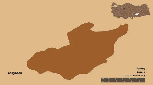
Shape of Adiyaman, province of Turkey, with its capital isolated on solid background. Distance scale, region preview and labels. Composition of patterned textures. 3D rendering
Shape Adiyaman Province Turkey Its Capital Isolated Solid Background Distance — Stock Photo, Image
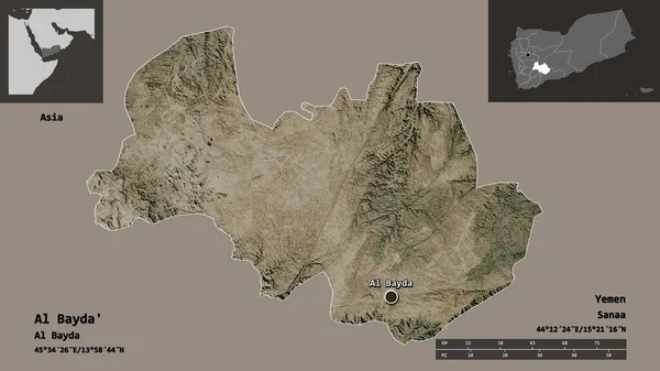
Shape of Al Bayda', governorate of Yemen, and its capital. Distance scale, previews and labels. Satellite imagery. 3D rendering
Shape Bayda Governorate Yemen Its Capital Distance Scale Previews Labels — Stock Photo, Image
Shape of Qina, governorate of Egypt, and its capital. Distance scale, previews and labels. Topographic relief map. 3D rendering
Shape Qina Governorate Egypt Its Capital Distance Scale Previews Labels — Stock Photo, Image
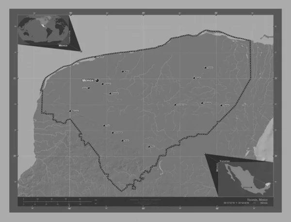
Yucatan, state of Mexico. Bilevel elevation map with lakes and rivers. Locations and names of major cities of the region. Corner auxiliary location maps
Yucatan State Mexico Bilevel Elevation Map Lakes Rivers Locations Names — Stock Photo, Image
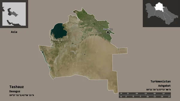
Shape of Tashauz, province of Turkmenistan, and its capital. Distance scale, previews and labels. Satellite imagery. 3D rendering
Shape Tashauz Province Turkmenistan Its Capital Distance Scale Previews Labels — Stock Photo, Image
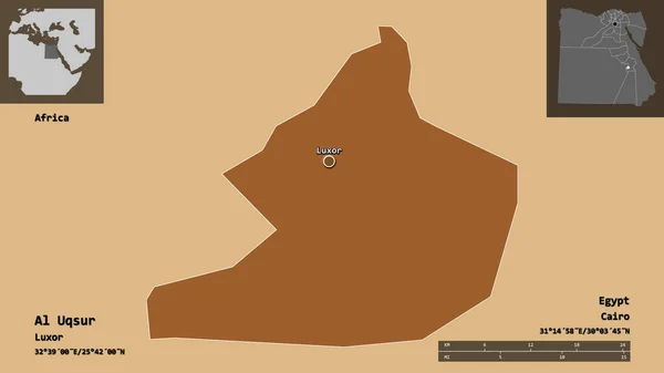
Shape of Al Uqsur, governorate of Egypt, and its capital. Distance scale, previews and labels. Composition of patterned textures. 3D rendering
Shape Uqsur Governorate Egypt Its Capital Distance Scale Previews Labels — Stock Photo, Image
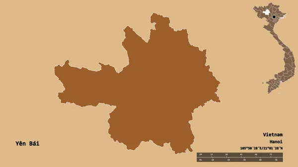
Shape of Yen Bai, province of Vietnam, with its capital isolated on solid background. Distance scale, region preview and labels. Composition of patterned textures. 3D rendering
Shape Yen Bai Province Vietnam Its Capital Isolated Solid Background — Stock Photo, Image
Ekiti, state of Nigeria. Solid color shape. Locations and names of major cities of the region. Corner auxiliary location maps
Ekiti State Nigeria Solid Color Shape Locations Names Major Cities — Stock Photo, Image
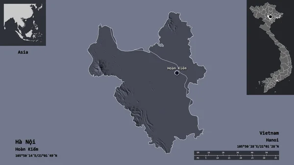
Shape of Ha Noi, city of Vietnam, and its capital. Distance scale, previews and labels. Colored elevation map. 3D rendering
Shape Noi City Vietnam Its Capital Distance Scale Previews Labels — Stock Photo, Image
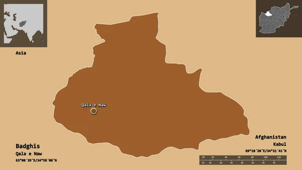
Shape of Badghis, province of Afghanistan, and its capital. Distance scale, previews and labels. Composition of patterned textures. 3D rendering
Shape Badghis Province Afghanistan Its Capital Distance Scale Previews Labels — Stock Photo, Image
El Bayadh, province of Algeria. Colored elevation map with lakes and rivers. Corner auxiliary location maps
Bayadh Province Algeria Colored Elevation Map Lakes Rivers Corner Auxiliary — Stock Photo, Image
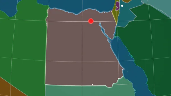
Egypt outlined on the administrative orthographic map. Capital, administrative borders and graticule
Egypt Outlined Administrative Orthographic Map Capital Administrative Borders Graticule — Stock Photo, Image
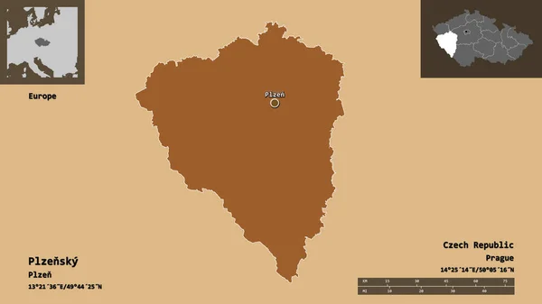
Shape of Plzensky, region of Czech Republic, and its capital. Distance scale, previews and labels. Composition of patterned textures. 3D rendering
Shape Plzensky Region Czech Republic Its Capital Distance Scale Previews — Stock Photo, Image
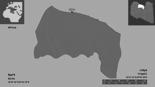
Shape of Surt, district of Libya, and its capital. Distance scale, previews and labels. Bilevel elevation map. 3D rendering
Shape Surt District Libya Its Capital Distance Scale Previews Labels — Stock Photo, Image
Shape of Aswan, governorate of Egypt, and its capital. Distance scale, previews and labels. Composition of patterned textures. 3D rendering
Shape Aswan Governorate Egypt Its Capital Distance Scale Previews Labels — Stock Photo, Image
Al Jabal al Gharbi, district of Libya. Low resolution satellite map. Corner auxiliary location maps
Jabal Gharbi District Libya Low Resolution Satellite Map Corner Auxiliary — Stock Photo, Image
Egypt area on the topographic relief map in the stereographic projection - main composition
Egypt Area Topographic Relief Map Stereographic Projection Main Composition — Stock Photo, Image
Shape of Dar, province of Syria, and its capital. Distance scale, previews and labels. Topographic relief map. 3D rendering
Shape Dar Province Syria Its Capital Distance Scale Previews Labels — Stock Photo, Image

Related image searches

Explore Stunning Egyptian Maps with our Stock images Collection

If you are looking for high-quality, professional Egypt map images for your next project, our stock image collection is here to help you. Whether you are designing a travel brochure, history book, or educational materials, our collection offers a wide range of images to meet your specific needs.

The Types of Egypt Maps Images we offer

Our collection includes a diverse range of map images which are available in JPG, AI, and EPS file formats. We offer images featuring the country's administrative boundaries, political maps, physical maps and more, enabling you to choose the best for your project.

From detailed maps showing the country's political structure to physical maps focussing on elevations and land-use patterns, you can have full confidence in finding the exact map that accurately represents your project's theme.

Where and What can you use them for?

Our map images collection can be used in a wide variety of settings, ranging from textbooks to travel guides, academic research to corporate presentations, and everything in-between. Regardless of your industry, our images can be used in multiple applications in merchandising and marketing materials.

With our collection, you can create illustrative and informative visual aids that enhance understanding and promote engagement, making your project stand out.

Tips on Using Egypt Map Images

It is crucial to choose the right Egypt map image for your project. Think about the purpose of the image, the desired message, and the target audience. If the image is meant for educational materials, ensure that the map's boundaries correspond to the current administrative structure of the country. On the other hand, if you are designing a brochure for visitors, it's better to opt for a map highlighting the popular tourist attractions and not merely the country's regions.
You should also pay close attention to the quality of the image. As a general rule, choose a high-resolution image with clear colours and prominence, to avoid distortion and pixelation.
Explore our Collection Today!
Our Egypt Map Images collection is your go-to source for high-quality stock images. With a variety of options available, you're guaranteed to find the perfect image that meets your needs perfectly. So, start exploring our collection today, and take your project to the next level.