Global map Stock Photos

100,000 Global map pictures are available under a royalty-free license

  • Best Match
  • Fresh
  • Popular
1-100 of 100,000
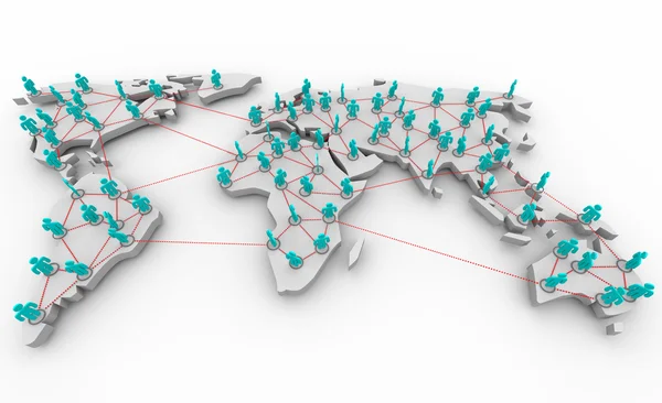
Map of the World case and links
Map of the World case and links — Stock Photo, Image
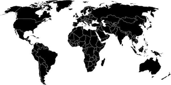
Global map of world
Global map of world — Stock Photo, Image
Highly detailed Earth at night with embossed continents
Highly detailed Earth at night with embossed continents — Stock Photo, Image
Global business network
Global business network — Stock Photo, Image
Best Internet Concept of global business from concepts series
Best Internet Concept of global business from concepts series — Stock Photo, Image
Global Network of
Global Network of — Stock Photo, Image
Blue image of globe
Blue image of globe — Stock Photo, Image
Main air routes in the Middle East and India
Main air routes in the Middle East and India — Stock Photo, Image
Book and earth ball vintage style
Book and earth ball vintage style — Stock Photo, Image
Human hand holding earth
Human hand holding earth — Stock Photo, Image
Europe and Africa in focus
Europe and Africa in focus — Stock Photo, Image
Whole world in hands
Whole world in hands — Stock Photo, Image
Global datas exchanges and futuristic connections system over the globe 3D rendering elements of this image furnished by NASA
Global Datas Exchanges Futuristic Connections System Globe Rendering Elements Image — Stock Photo, Image
Global business connection concept
Global business connection concept — Stock Photo, Image
Planet earth. Best Concept of global business from concepts series.
Planet earth. Best Concept of global business from concepts series. — Stock Photo, Image
Jigsaw Globe Chrome
Jigsaw Globe Chrome — Stock Photo, Image
Global strategy
Global strategy — Stock Photo, Image
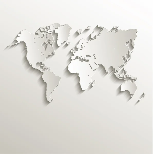
Raster World map card paper 3D nature
Raster World map card paper 3D nature — Stock Photo, Image
Paper World Map Illustration
Paper World Map Illustration — Stock Photo, Image
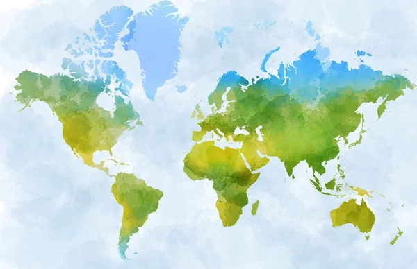
World watercolor map
World watercolor map — Stock Photo, Image
Global business marketing
Global business marketing — Stock Photo, Image
Hospital with patients and medical staff
Hospital with patients and medical staff — Stock Photo, Image
Best Internet Concept of global business
Best Internet Concept of global business — Stock Photo, Image
Main air routes in North America
Main air routes in North America — Stock Photo, Image
Image of light blue planet Earth
Image of light blue planet Earth — Stock Photo, Image
Best Internet Concept of global business from concepts series. World map
Best Internet Concept of global business from concepts series. World map — Stock Photo, Image
Vintage world map. Colorful paint, watercolor on grunge, old pap
Vintage world map. Colorful paint, watercolor on grunge, old pap — Stock Photo, Image
World map
World map — Stock Photo, Image
Planet earth from the space. Some elements of this image furnish
Planet earth from the space. Some elements of this image furnish — Stock Photo, Image
World Map Background
World Map Background — Stock Photo, Image
Search bar on virtual screen
Search bar on virtual screen — Stock Photo, Image
Server room in datacenter
Server room in datacenter — Stock Photo, Image
World map
World map — Stock Photo, Image
World map on a gray background
World map on a gray background — Stock Photo, Image
Main air routes in Europe
Main air routes in Europe — Stock Photo, Image
World gold map
World gold map — Stock Photo, Image
World Map Illustration
World Map Illustration — Stock Photo, Image
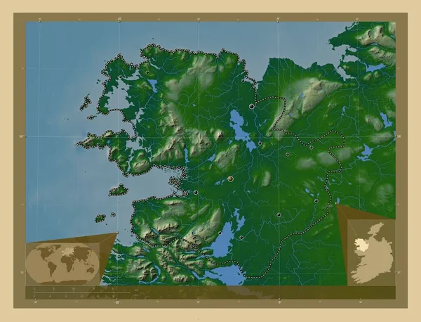
Mayo, county of Ireland. Colored elevation map with lakes and rivers. Corner auxiliary location maps
Mayo County Ireland Colored Elevation Map Lakes Rivers Corner Auxiliary — Stock Photo, Image
World Map Illustration
World Map Illustration — Stock Photo, Image
World Map Illustration
World Map Illustration — Stock Photo, Image
Image of statistics and data processing over auctioneers hammer. Global business technology and digital interface concept digitally generated image.
Image Statistics Data Processing Auctioneers Hammer Global Business Technology Digital — Stock Photo, Image
World Map Illustration
World Map Illustration — Stock Photo, Image
World Map Illustration
World Map Illustration — Stock Photo, Image
Physical globe map centered on Central African Republic
Physical Globe Map Centered Central African Republic — Stock Photo, Image
World Map Illustration
World Map Illustration — Stock Photo, Image
Mayo, county of Ireland. Colored elevation map with lakes and rivers. Locations of major cities of the region. Corner auxiliary location maps
Mayo County Ireland Colored Elevation Map Lakes Rivers Locations Major — Stock Photo, Image
World Map Illustration
World Map Illustration — Stock Photo, Image
Blue world map with growing red network of connected icons on black background. spreading global communication network concept, digitally generated image.
Blue World Map Growing Red Network Connected Icons Black Background — Stock Photo, Image
Earth map
Earth map — Stock Photo, Image
World Map Illustration
World Map Illustration — Stock Photo, Image
Cartoon style planet flat illustration . High quality illustration
Cartoon Style Planet Flat Illustration High Quality Illustration — Stock Photo, Image
Growth and falling of the prices at the currency auctions are reflected in financial business
Growth Falling Prices Currency Auctions Reflected Financial Business — Stock Photo, Image
World Map Illustration
World Map Illustration — Stock Photo, Image
World Map Illustration
World Map Illustration — Stock Photo, Image
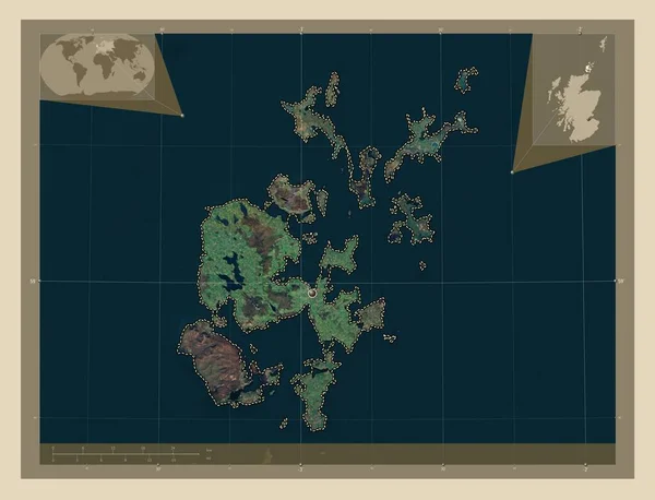
Orkney Islands, region of Scotland - Great Britain. High resolution satellite map. Corner auxiliary location maps
Orkney Islands Region Scotland Great Britain High Resolution Satellite Map — Stock Photo, Image
3D glass rectangles abstract background
3D glass rectangles abstract background — Stock Photo, Image
Close-up of Latvia and its location in the region and in the center of a large-scale world map. Color physical map
Close Latvia Its Location Region Center Large Scale World Map — Stock Photo, Image
Close-up of Latvia and its location in the region and in the center of a large-scale world map. Color physical map
Close Latvia Its Location Region Center Large Scale World Map — Stock Photo, Image
World Map Illustration
World Map Illustration — Stock Photo, Image
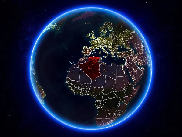
Algeria highlighted in red on planet Earth at night with visible borders and city lights. 3D illustration. Elements of this image furnished by NASA.
Algeria Highlighted Red Planet Earth Night Visible Borders City Lights — Stock Photo, Image
World Map Illustration
World Map Illustration — Stock Photo, Image
World Map Illustration
World Map Illustration — Stock Photo, Image
World Map
World Map — Stock Photo, Image
Global Communication Concept, The Earth Rotating With Node The Blue Marble. Earth Rotating Animation Social Future Technology Abstract. And Line connection. Futuristic And Technology Concepts.
Global Communication Concept, The Earth Rotating With Node The Blue Marble. Earth Rotating Animation Social Future Technology Abstract. And Line connection. Futuristic And Technology Concepts. — Stock Photo, Image
World of dots
World of dots — Stock Photo, Image
World Map Illustration
World Map Illustration — Stock Photo, Image
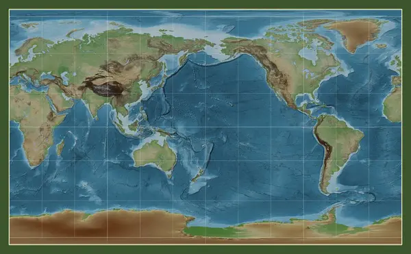
Colored elevation map of the world in the Compact Miller projection centered on the meridian 180 longitude
Colored Elevation Map World Compact Miller Projection Centered Meridian 180 — Stock Photo, Image
World Map Illustration
World Map Illustration — Stock Photo, Image
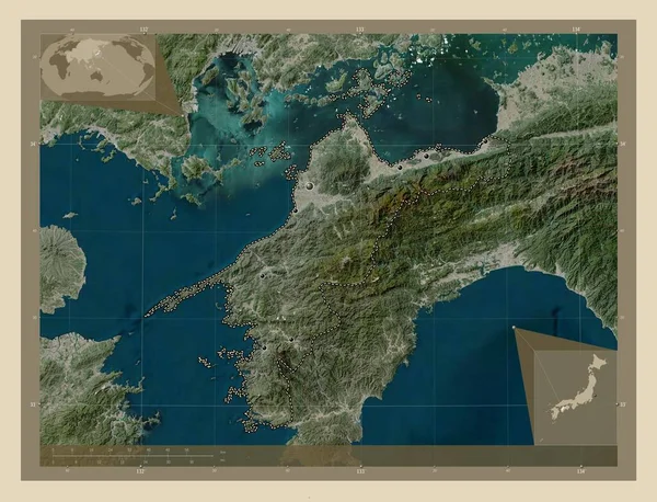
Ehime, prefecture of Japan. High resolution satellite map. Locations of major cities of the region. Corner auxiliary location maps
Ehime Prefecture Japan High Resolution Satellite Map Locations Major Cities — Stock Photo, Image
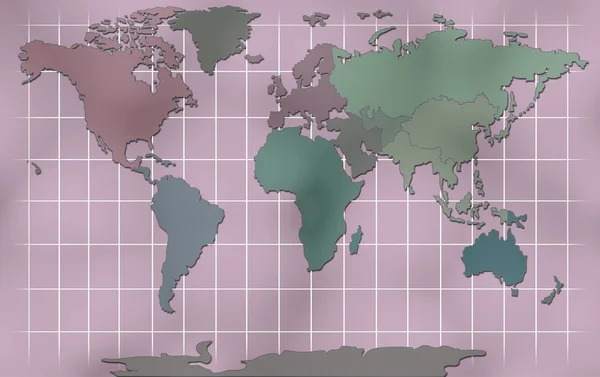
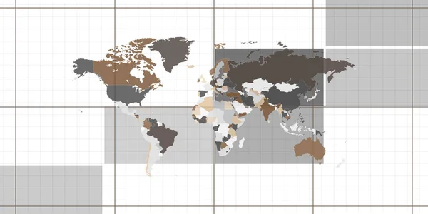
World map showing country borders on striped background in architectural style. World map wallpaper. Can be used for wall decoration.
World Map Showing Country Borders Striped Background Architectural Style World — Stock Photo, Image
Sligo, county of Ireland. Colored elevation map with lakes and rivers. Locations of major cities of the region. Corner auxiliary location maps
Sligo County Ireland Colored Elevation Map Lakes Rivers Locations Major — Stock Photo, Image
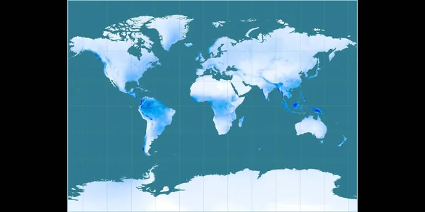
World map in the Miller Cylindrical projection centered on 11 East longitude. Mean annual precipitation map - raw composite of raster with graticule. 3D illustration
World Map Miller Cylindrical Projection Centered East Longitude Mean Annual — Stock Photo, Image
World Map Illustration
World Map Illustration — Stock Photo, Image
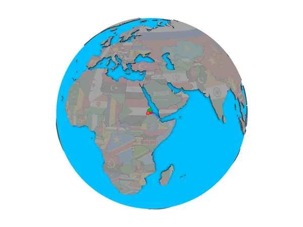
Eritrea with embedded national flag on blue political 3D globe. 3D illustration isolated on white background.
Eritrea Embedded National Flag Blue Political Globe Illustration Isolated White — Stock Photo, Image
Botswana with national flag on simple blue political globe. 3D illustration.
Botswana National Flag Simple Blue Political Globe Illustration — Stock Photo, Image
World map on blueprint.
World map on blueprint. — Stock Photo, Image
Cyprus highlighted in red on planet Earth at night with visible borders and city lights. 3D illustration. Elements of this image furnished by NASA.
Cyprus Highlighted Red Planet Earth Night Visible Borders City Lights — Stock Photo, Image
World map on blueprint.
World map on blueprint. — Stock Photo, Image
World Map Illustration
World Map Illustration — Stock Photo, Image
Image of data processing on blue background. Global business and digital interface concept digitally generated image.
Image Data Processing Blue Background Global Business Digital Interface Concept — Stock Photo, Image
World Map Sketch watercolor on Old Paper
World Map Sketch watercolor on Old Paper — Stock Photo, Image
On or off button for a the site
Button Site — Stock Photo, Image
World Map Illustration
World Map Illustration — Stock Photo, Image
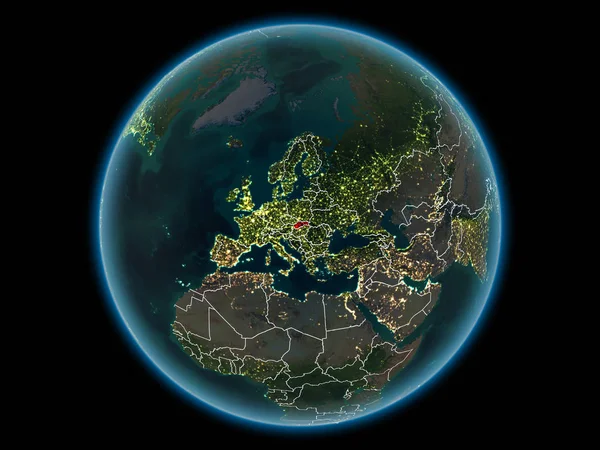
Slovakia in red with visible country borders and city lights from space at night. 3D illustration. Elements of this image furnished by NASA.
Slovakia Red Visible Country Borders City Lights Space Night Illustration — Stock Photo, Image
Map of the world blueprint
Map of the world blueprint — Stock Photo, Image
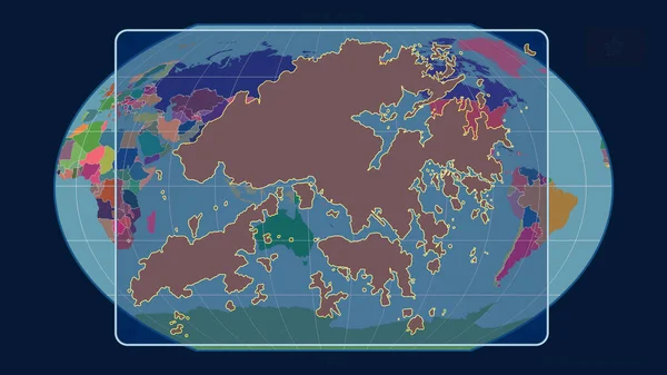
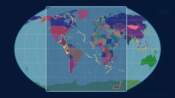
Zoomed-in view of Hong Kong outline with perspective lines against a global map in the Kavrayskiy projection. Shape centered. color map of administrative divisions
Zoomed View Hong Kong Outline Perspective Lines Global Map Kavrayskiy — Stock Photo, Image
Zoomed-in view of Hong Kong outline with perspective lines against a global map in the Kavrayskiy projection. Shape centered. color map of administrative divisions
Zoomed View Hong Kong Outline Perspective Lines Global Map Kavrayskiy — Stock Photo, Image
East Kazakhstan, region of Kazakhstan. Solid color shape. Locations and names of major cities of the region. Corner auxiliary location maps
East Kazakhstan Region Kazakhstan Solid Color Shape Locations Names Major — Stock Photo, Image
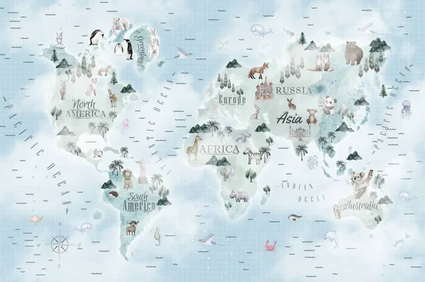
Animals world map for kids wallpaper design
Animals World Map Kids Wallpaper Design — Stock Photo, Image
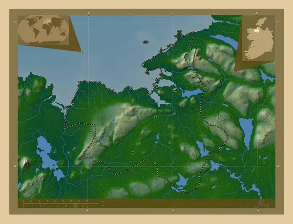
Sligo, county of Ireland. Colored elevation map with lakes and rivers. Corner auxiliary location maps
Sligo County Ireland Colored Elevation Map Lakes Rivers Corner Auxiliary — Stock Photo, Image
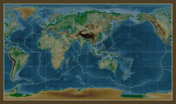
Tectonic plate boundaries on a physical map of the world in the Patterson Cylindrical projection centered on the meridian 90 east longitude
Tectonic Plate Boundaries Physical Map World Patterson Cylindrical Projection Centered — Stock Photo, Image
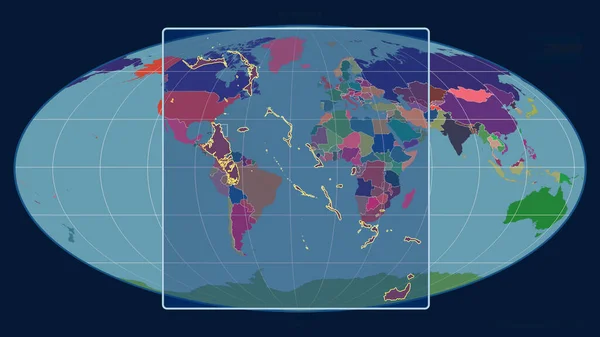
Zoomed-in view of Mongolia outline with perspective lines against a global map in the Mollweide projection. Shape centered. color map of administrative divisions
Zoomed View Mongolia Outline Perspective Lines Global Map Mollweide Projection — Stock Photo, Image
Technological background with illustration art with some colorful texture and art.
Technological Background Illustration Art Some Colorful Texture Art — Stock Photo, Image
Zoomed-in view of Bahamas outline with perspective lines against a global map in the Mollweide projection. Shape centered. color map of administrative divisions
Zoomed View Bahamas Outline Perspective Lines Global Map Mollweide Projection — Stock Photo, Image
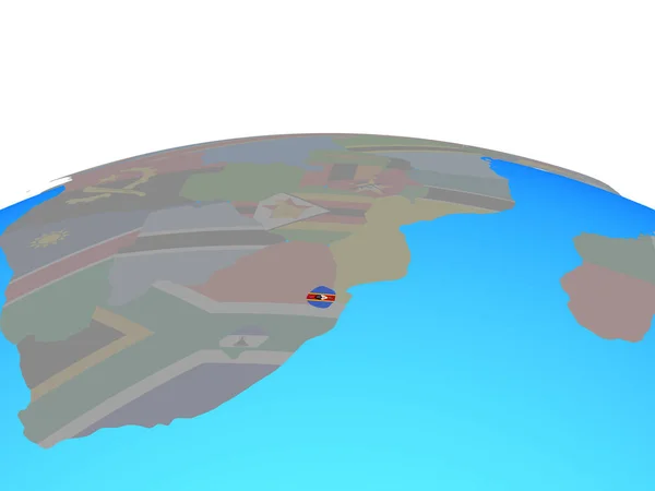
ESwatini with national flag on political globe. 3D illustration.
Eswatini National Flag Political Globe Illustration — Stock Photo, Image
World Map Illustration
World Map Illustration — Stock Photo, Image
Zoomed-in view of Bahamas outline with perspective lines against a global map in the Kavrayskiy projection. Shape centered. color map of administrative divisions
Zoomed View Bahamas Outline Perspective Lines Global Map Kavrayskiy Projection — Stock Photo, Image

Related image searches

Discover High-Quality Global Map Images for Your Projects

As businesses and individuals seek to expand their reach globally, the use of maps has become increasingly important. High-quality global map images are a key visual resource for businesses, publications, government agencies, and individuals. These images come in various file formats, including JPG, AI, and EPS, and are useful for a range of projects, including presentations, infographics, marketing materials, and websites. Here at Stock Images, we offer a vast collection of global map images that have been carefully curated to meet different project needs.

Types of Global Map Images We Offer

Our collection of global map images includes political maps, topographical maps, and physical maps that depict landforms, water bodies, and geology. We also have thematic maps that illustrate specific topics like population density, climate, natural resources, and vegetation. Our maps range from the local to the global level and cover different time periods, making them suitable for historical and geological projects. In addition, we have different styles of maps, including antique, artistic, and modern, to fit different tastes and preferences.

Where Our Global Map Images Can Be Used

Our global map images are versatile and can be used in various projects. They are ideal for illustrating global trends and statistics, creating location-based content for websites, and adding context and meaning to reports and presentations. They are also great for enhancing educational materials such as textbooks, maps, charts, and diagrams. Our maps are suitable for businesses in different sectors, including logistics, tourism, and retail, that require location-based data. Lastly, the images are perfect for personal projects such as wall art, scrapbooking, and travel blogs.

Tips for Choosing the Right Global Map Images for Your Projects

When choosing a global map image for your project, there are several factors to consider to ensure that the image is suitable and effective. Firstly, consider the resolution and size of the image, especially if the project requires printing. Secondly, choose a map that is accurate and up-to-date to ensure that the information presented is reliable. Thirdly, consider the style and design of the map, ensuring that it fits the project's theme and tone. Lastly, consider the licensing and copyright of the image, especially if it is for commercial use.

Why Choose Our Global Map Images

Our global map images are of high-quality and have been carefully curated to meet different project needs. We offer a vast collection of maps covering different regions and styles, making it easy for users to find the perfect map for their project. Additionally, our images are available in different file formats and sizes, making them compatible with various software and devices. Lastly, we offer flexible licensing options that suit both personal and commercial use, making it easy for users to get the right images for their projects at an affordable price.

In conclusion, global map images are a valuable visual resource for various projects. At Stock Images, we offer a vast collection of high-quality maps that are suitable for different projects, including business, education, tourism, and personal use. Our maps come in various file formats, including JPG, AI, and EPS, and are available for affordable prices with flexible licensing options. Contact us today to find the perfect map for your project.