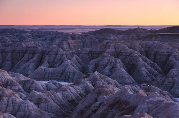
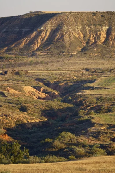
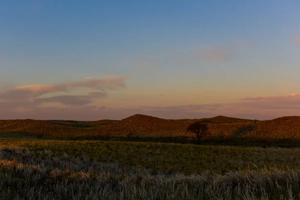
A labyrinth of ravines and ridges at sunset, Badlands National Park, South Dakota, USA
Labyrinth Ravines Ridges Sunset Badlands National Park South Dakota Usa — Stock Photo, Image
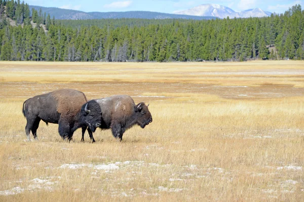
American Bison, Yellowstone National Park, Rocky Mountains
American Bison, Yellowstone National Park, Rocky Mountains — Stock Photo, Image
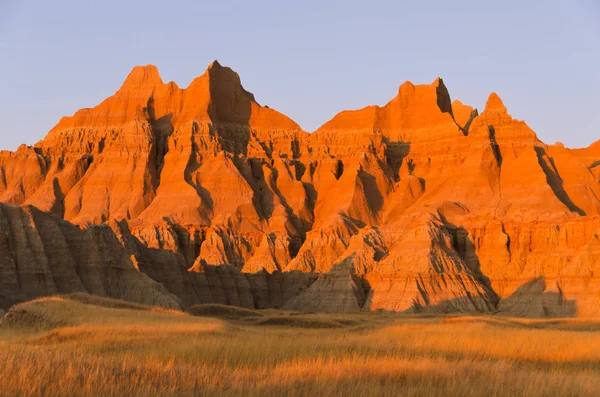
Prairie grasses and pinnacles at sunset, Badlands National Park, South Dakota, USA
Prairie Grasses Pinnacles Sunset Badlands National Park South Dakota Usa — Stock Photo, Image
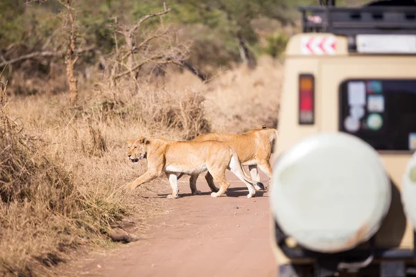
Wildlife safari tourists on game drive
Wildlife safari tourists on game drive — Stock Photo, Image
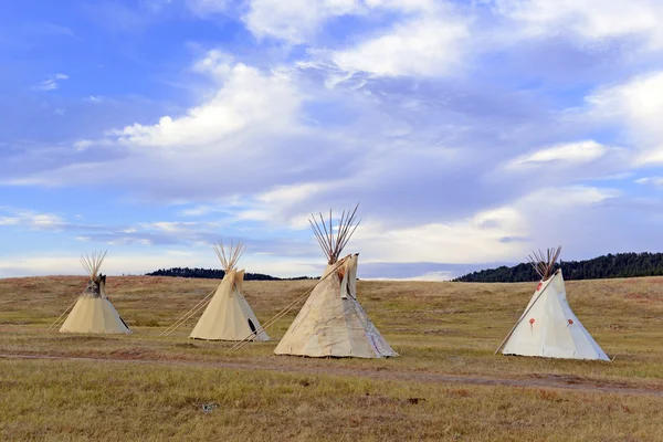
Teepee (tipi) as used by Native Americans in the Great Plains and American west
Teepee (tipi) as used by Native Americans in the Great Plains and American west — Stock Photo, Image
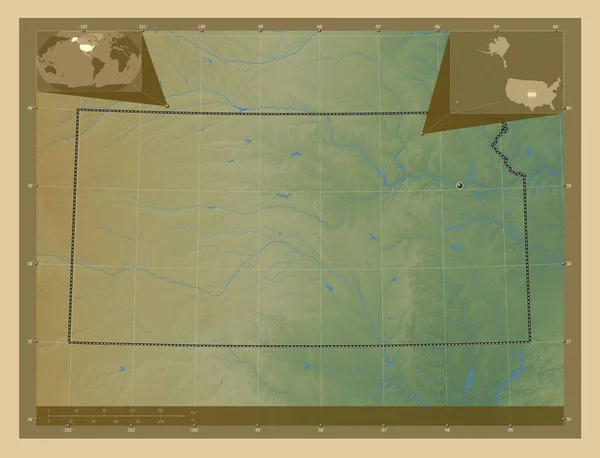
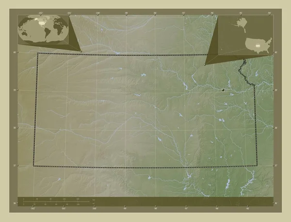
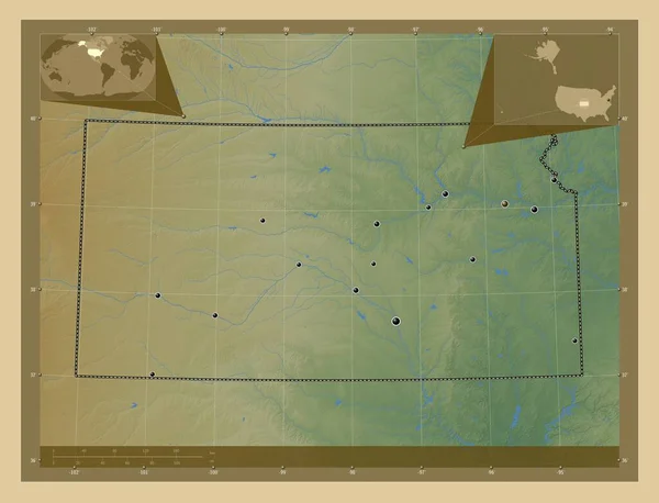
Kansas, state of United States of America. Colored elevation map with lakes and rivers. Corner auxiliary location maps
Kansas State United States America Colored Elevation Map Lakes Rivers — Stock Photo, Image
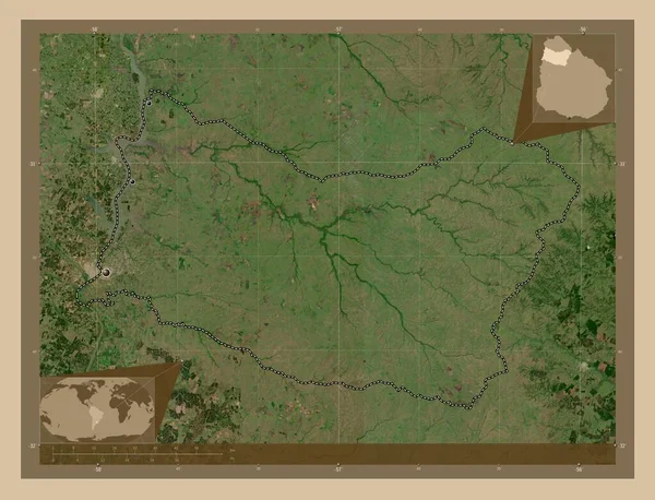
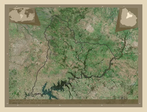
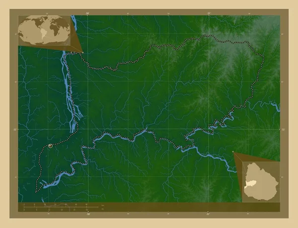
Salto, department of Uruguay. Low resolution satellite map. Locations of major cities of the region. Corner auxiliary location maps
Salto Department Uruguay Low Resolution Satellite Map Locations Major Cities — Stock Photo, Image
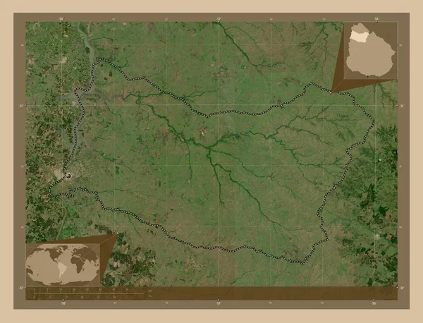
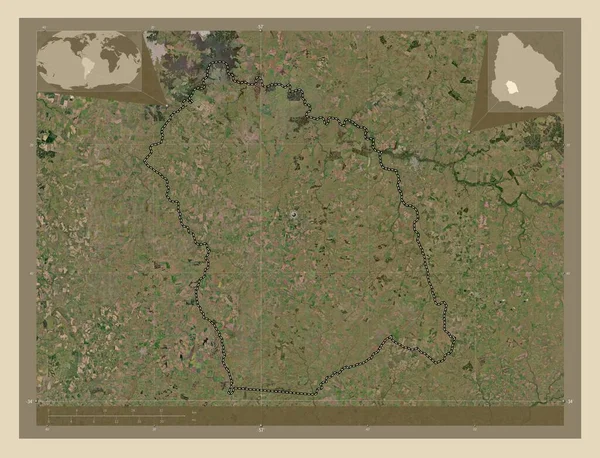
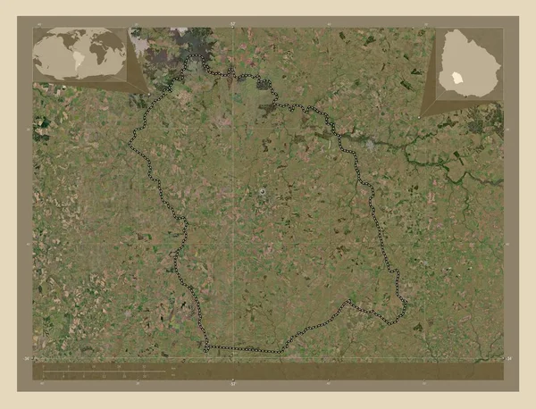
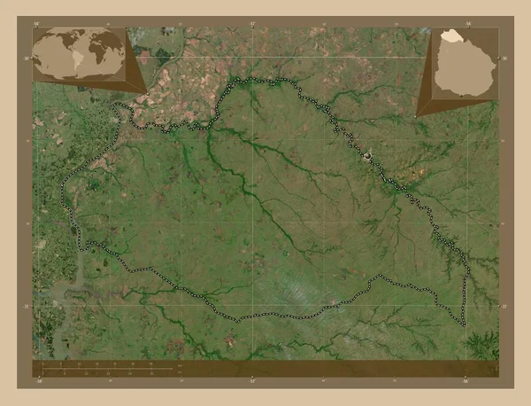
Salto, department of Uruguay. Low resolution satellite map. Corner auxiliary location maps
Salto Department Uruguay Low Resolution Satellite Map Corner Auxiliary Location — Stock Photo, Image
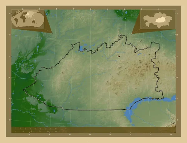
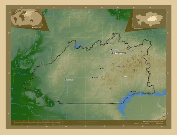
Qaraghandy, region of Kazakhstan. Colored elevation map with lakes and rivers. Corner auxiliary location maps
Qaraghandy Region Kazakhstan Colored Elevation Map Lakes Rivers Corner Auxiliary — Stock Photo, Image
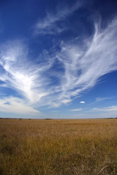
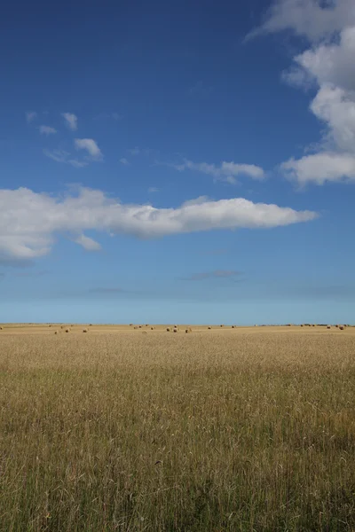
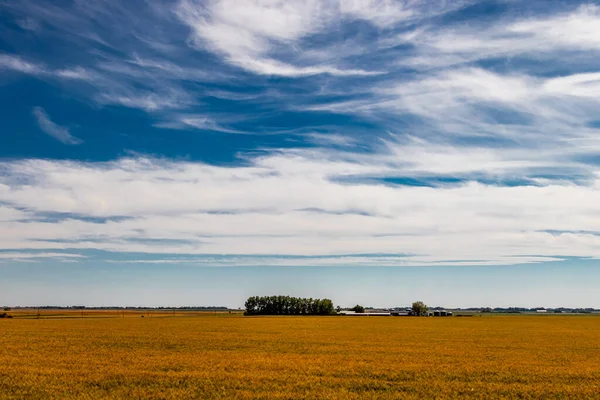
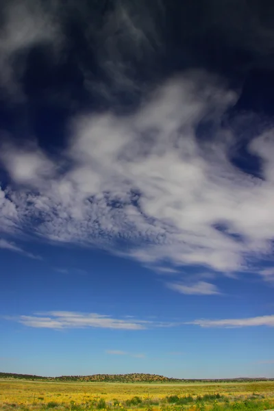
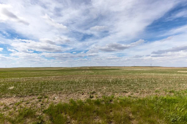
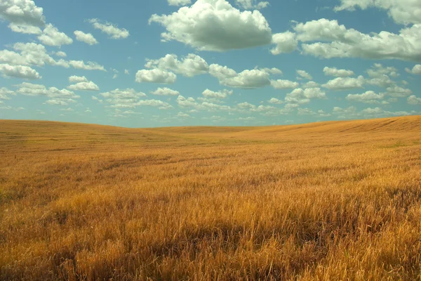
Blue sky with clouds and agricultural ground
Blue sky with clouds and agricultural ground — Stock Photo, Image
Scenic Everglades Landscape
Scenic Everglades Landscape — Stock Photo, Image
Arid landscape
Arid landscape — Stock Photo, Image
African savanna with few small bushes, mountains in distance - typical landscape near Ilakaka, Madagascar
African Savanna Few Small Bushes Mountains Distance Typical Landscape Ilakaka — Stock Photo, Image
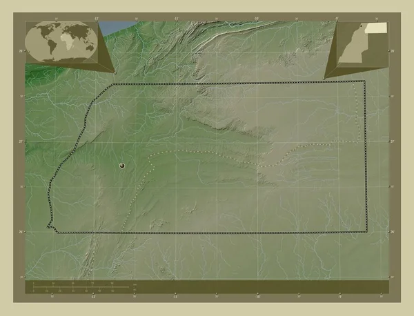
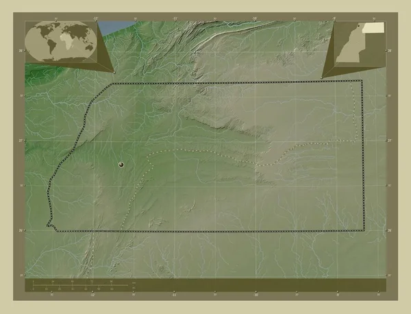
Es Semara, province of Western Sahara. Elevation map colored in wiki style with lakes and rivers. Corner auxiliary location maps
Semara Province Western Sahara Elevation Map Colored Wiki Style Lakes — Stock Photo, Image
Es Semara, province of Western Sahara. Elevation map colored in wiki style with lakes and rivers. Corner auxiliary location maps
Semara Province Western Sahara Elevation Map Colored Wiki Style Lakes — Stock Photo, Image
Cordoba, province of Argentina. Elevation map colored in wiki style with lakes and rivers. Corner auxiliary location maps
Cordoba Province Argentina Elevation Map Colored Wiki Style Lakes Rivers — Stock Photo, Image
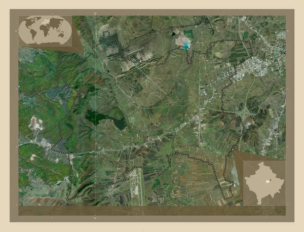
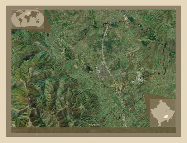
Fushe Kosove, municipality of Kosovo. High resolution satellite map. Locations of major cities of the region. Corner auxiliary location maps
Fushe Kosove Municipality Kosovo High Resolution Satellite Map Locations Major — Stock Photo, Image
Fushe Kosove, municipality of Kosovo. High resolution satellite map. Corner auxiliary location maps
Fushe Kosove Municipality Kosovo High Resolution Satellite Map Corner Auxiliary — Stock Photo, Image
Fushe Kosove, municipality of Kosovo. High resolution satellite map. Locations of major cities of the region. Corner auxiliary location maps
Fushe Kosove Municipality Kosovo High Resolution Satellite Map Locations Major — Stock Photo, Image
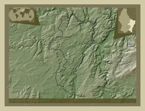
Grevenmacher, district of Luxembourg. Elevation map colored in wiki style with lakes and rivers. Locations of major cities of the region. Corner auxiliary location maps
Grevenmacher District Luxembourg Elevation Map Colored Wiki Style Lakes Rivers — Stock Photo, Image
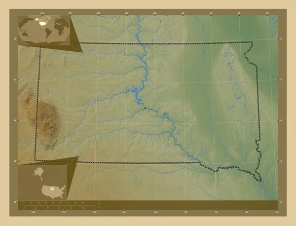
South Dakota, state of United States of America. Colored elevation map with lakes and rivers. Corner auxiliary location maps
South Dakota State United States America Colored Elevation Map Lakes — Stock Photo, Image
Kansas, state of United States of America. Elevation map colored in wiki style with lakes and rivers. Corner auxiliary location maps
Kansas State United States America Elevation Map Colored Wiki Style — Stock Photo, Image
Flores, department of Uruguay. High resolution satellite map. Corner auxiliary location maps
Flores Department Uruguay High Resolution Satellite Map Corner Auxiliary Location — Stock Photo, Image
Flores, department of Uruguay. High resolution satellite map. Locations of major cities of the region. Corner auxiliary location maps
Flores Department Uruguay High Resolution Satellite Map Locations Major Cities — Stock Photo, Image
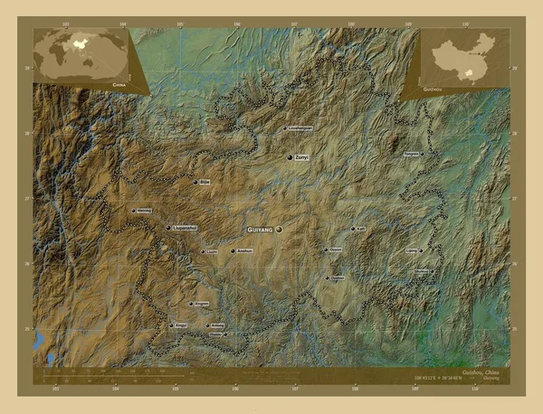
Guizhou, province of China. Colored elevation map with lakes and rivers. Locations and names of major cities of the region. Corner auxiliary location maps
Guizhou Province China Colored Elevation Map Lakes Rivers Locations Names — Stock Photo, Image
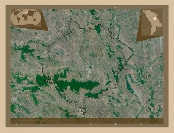
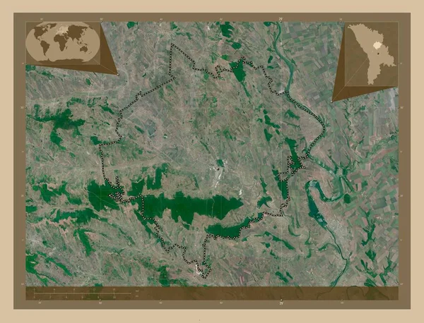
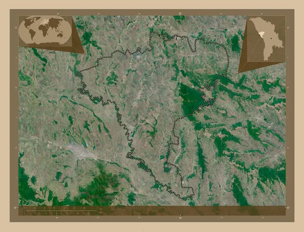
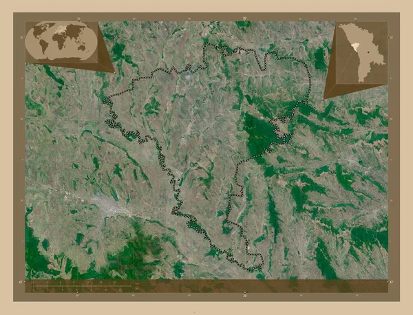
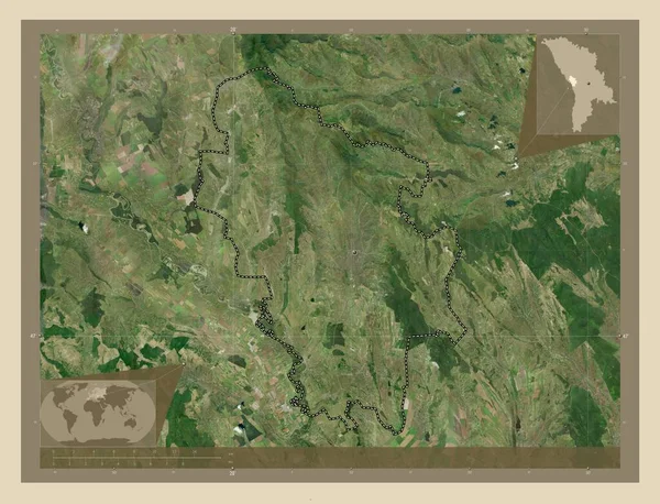
Orhei, district of Moldova. Low resolution satellite map. Corner auxiliary location maps
Orhei District Moldova Low Resolution Satellite Map Corner Auxiliary Location — Stock Photo, Image
Orhei, district of Moldova. Low resolution satellite map. Locations of major cities of the region. Corner auxiliary location maps
Orhei District Moldova Low Resolution Satellite Map Locations Major Cities — Stock Photo, Image
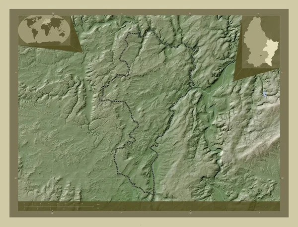
Grevenmacher, district of Luxembourg. Elevation map colored in wiki style with lakes and rivers. Corner auxiliary location maps
Grevenmacher District Luxembourg Elevation Map Colored Wiki Style Lakes Rivers — Stock Photo, Image
Autumn sunset on the meadow.
Autumn sunset on the meadow. — Stock Photo, Image
Countryside with sugar beet field and cloudy sky
Countryside with sugar beet field and cloudy sky — Stock Photo, Image
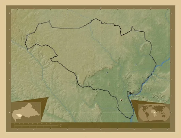
Ombella-M'Poko, prefecture of Central African Republic. Colored elevation map with lakes and rivers. Locations of major cities of the region. Corner auxiliary location maps
Ombella Poko Prefecture Central African Republic Colored Elevation Map Lakes — Stock Photo, Image
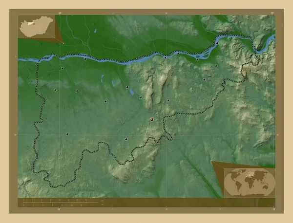
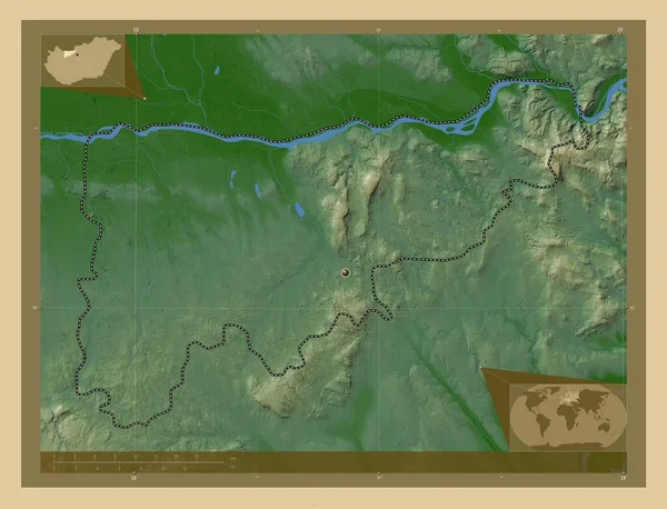
Komarom-Esztergom, county of Hungary. Colored elevation map with lakes and rivers. Locations of major cities of the region. Corner auxiliary location maps
Komarom Esztergom County Hungary Colored Elevation Map Lakes Rivers Locations — Stock Photo, Image
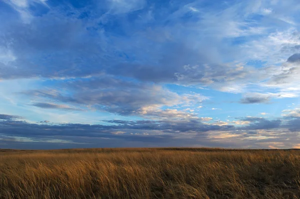
Storm Clouds Prairie Sky
Storm Clouds Prairie Sky — Stock Photo, Image
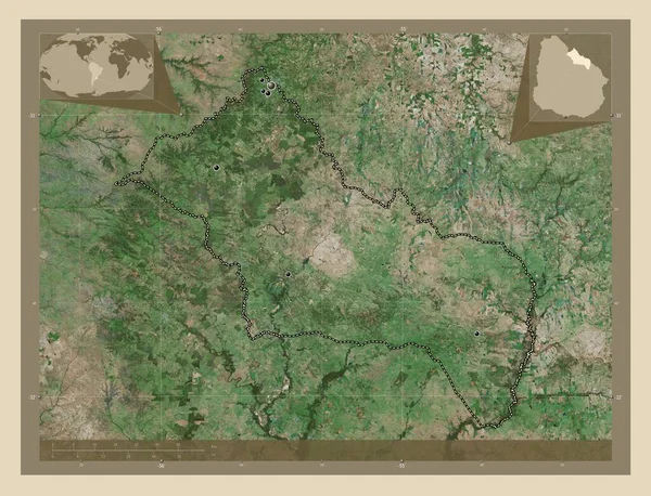
Rivera, department of Uruguay. High resolution satellite map. Locations of major cities of the region. Corner auxiliary location maps
Rivera Department Uruguay High Resolution Satellite Map Locations Major Cities — Stock Photo, Image
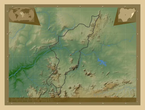
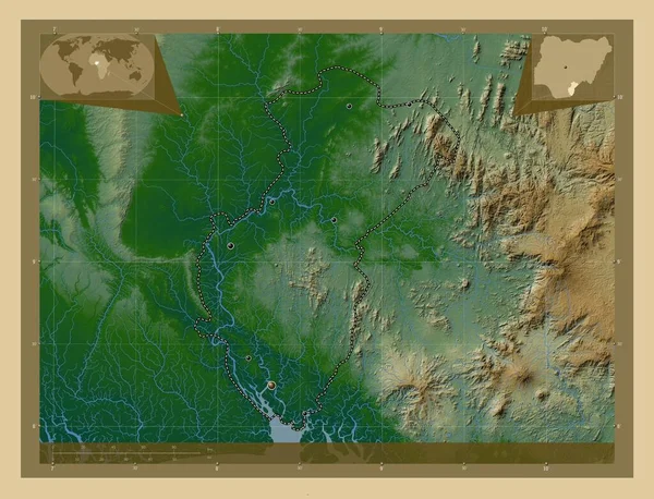
Adamawa, state of Nigeria. Colored elevation map with lakes and rivers. Corner auxiliary location maps
Adamawa State Nigeria Colored Elevation Map Lakes Rivers Corner Auxiliary — Stock Photo, Image
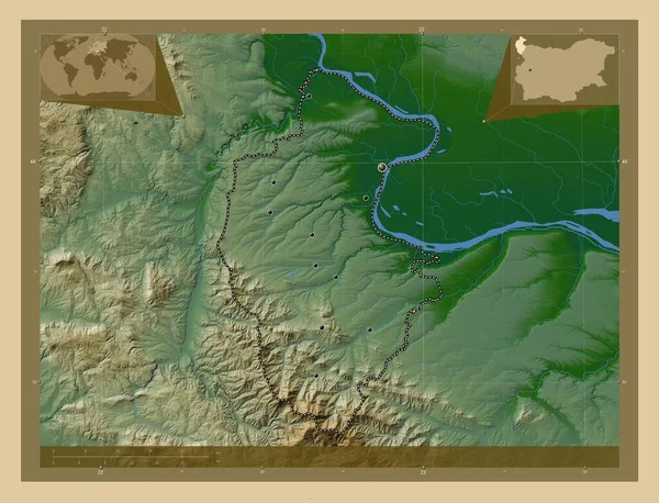
Vidin, province of Bulgaria. Colored elevation map with lakes and rivers. Corner auxiliary location maps
Vidin Province Bulgaria Colored Elevation Map Lakes Rivers Corner Auxiliary — Stock Photo, Image
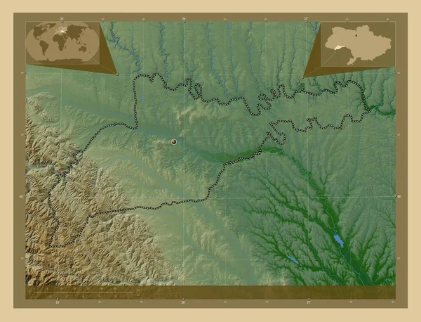
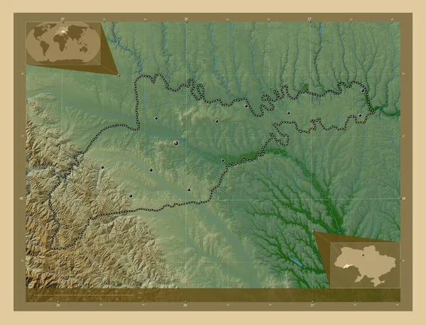
Chernivtsi, region of Ukraine. Colored elevation map with lakes and rivers. Corner auxiliary location maps
Chernivtsi Region Ukraine Colored Elevation Map Lakes Rivers Corner Auxiliary — Stock Photo, Image
Ferizaj, municipality of Kosovo. High resolution satellite map. Locations of major cities of the region. Corner auxiliary location maps
Ferizaj Municipality Kosovo High Resolution Satellite Map Locations Major Cities — Stock Photo, Image
Ferizaj, municipality of Kosovo. High resolution satellite map. Corner auxiliary location maps
Ferizaj Municipality Kosovo High Resolution Satellite Map Corner Auxiliary Location — Stock Photo, Image
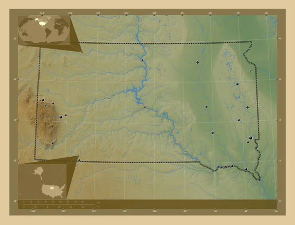
South Dakota, state of United States of America. Colored elevation map with lakes and rivers. Locations of major cities of the region. Corner auxiliary location maps
South Dakota State United States America Colored Elevation Map Lakes — Stock Photo, Image
Hay bales in field
Hay bales in field — Stock Photo, Image
Agate Fossil Beds National Monument
Agate Fossil Beds National Monument — Stock Photo, Image
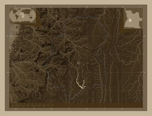
Huambo, province of Angola. Elevation map colored in sepia tones with lakes and rivers. Locations of major cities of the region. Corner auxiliary location maps
Huambo Province Angola Elevation Map Colored Sepia Tones Lakes Rivers — Stock Photo, Image
Ungheni, district of Moldova. Low resolution satellite map. Corner auxiliary location maps
Ungheni District Moldova Low Resolution Satellite Map Corner Auxiliary Location — Stock Photo, Image
Ungheni, district of Moldova. Low resolution satellite map. Locations of major cities of the region. Corner auxiliary location maps
Ungheni District Moldova Low Resolution Satellite Map Locations Major Cities — Stock Photo, Image
Tacuarembo, department of Uruguay. High resolution satellite map. Locations of major cities of the region. Corner auxiliary location maps
Tacuarembo Department Uruguay High Resolution Satellite Map Locations Major Cities — Stock Photo, Image
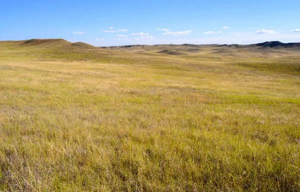
Sweeping Panorama of Grass in Badlands
Sweeping Panorama of Grass in Badlands — Stock Photo, Image
Endless green fields with cloudy sky in Wyoming, USA
Endless Green Fields Cloudy Sky Wyoming Usa — Stock Photo, Image
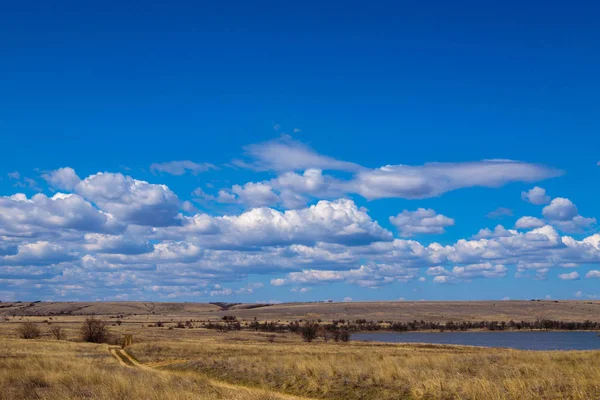
Steppe landscape. early spring
Steppe Landscape Early Spring — Stock Photo, Image
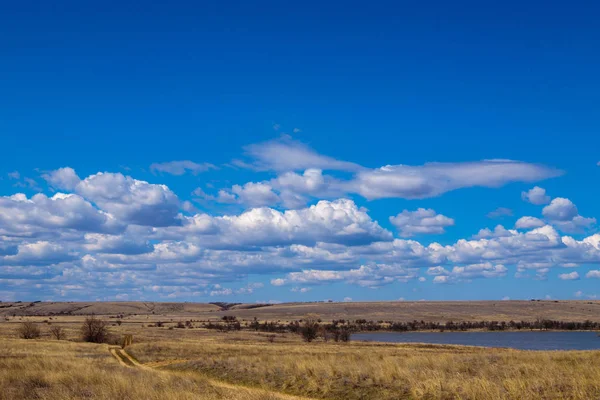
Steppe landscape. early spring
Steppe Landscape Early Spring — Stock Photo, Image
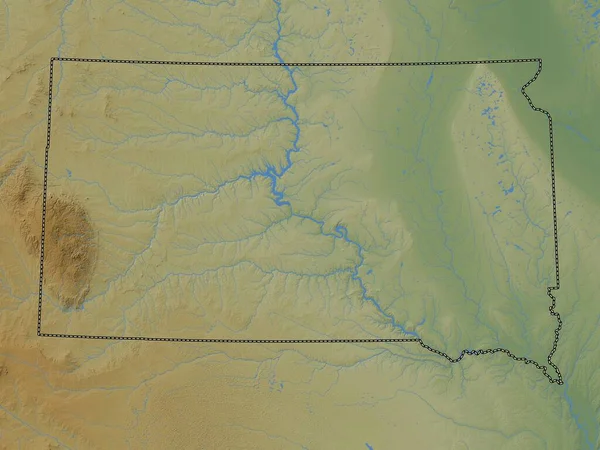
South Dakota, state of United States of America. Colored elevation map with lakes and rivers
South Dakota State United States America Colored Elevation Map Lakes — Stock Photo, Image
Ombella-M'Poko, prefecture of Central African Republic. Colored elevation map with lakes and rivers. Corner auxiliary location maps
Ombella Poko Prefecture Central African Republic Colored Elevation Map Lakes — Stock Photo, Image
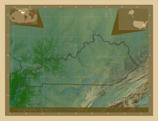
Kentucky, state of United States of America. Colored elevation map with lakes and rivers. Corner auxiliary location maps
Kentucky State United States America Colored Elevation Map Lakes Rivers — Stock Photo, Image
Qaraghandy, region of Kazakhstan. Colored elevation map with lakes and rivers. Locations and names of major cities of the region. Corner auxiliary location maps
Qaraghandy Region Kazakhstan Colored Elevation Map Lakes Rivers Locations Names — Stock Photo, Image
Marijampoles, county of Lithuania. Low resolution satellite map. Corner auxiliary location maps
Marijampoles County Lithuania Low Resolution Satellite Map Corner Auxiliary Location — Stock Photo, Image
Komarom-Esztergom, county of Hungary. Colored elevation map with lakes and rivers. Corner auxiliary location maps
Komarom Esztergom County Hungary Colored Elevation Map Lakes Rivers Corner — Stock Photo, Image
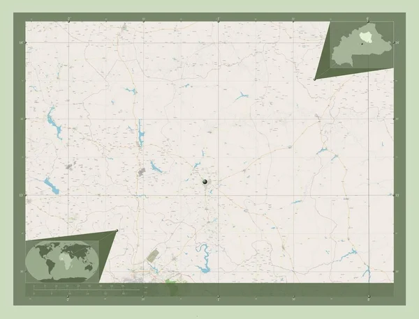
Centre-Nord, region of Burkina Faso. Open Street Map. Corner auxiliary location maps
Centre Nord Region Burkina Faso Open Street Map Corner Auxiliary — Stock Photo, Image
Wide open spaces. Rockyview County, Alberta, Canada
Wide Open Spaces Rockyview County Alberta Canada — Stock Photo, Image
Landscape with clouds
Landscape with clouds — Stock Photo, Image
Kansas, state of United States of America. Colored elevation map with lakes and rivers. Locations of major cities of the region. Corner auxiliary location maps
Kansas State United States America Colored Elevation Map Lakes Rivers — Stock Photo, Image
Field with blue sky and white clouds
Field with blue sky and white clouds — Stock Photo, Image
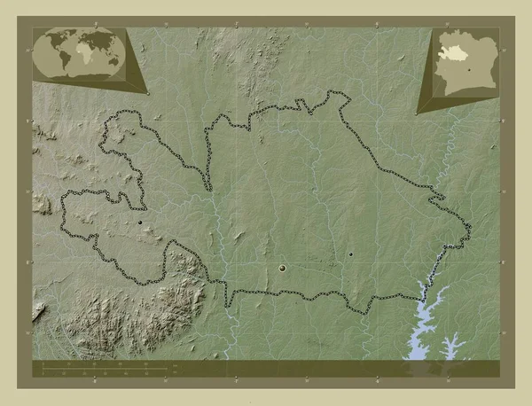
Woroba, district of Cote d'Ivoire. Elevation map colored in wiki style with lakes and rivers. Locations of major cities of the region. Corner auxiliary location maps
Woroba District Cote Ivoire Elevation Map Colored Wiki Style Lakes — Stock Photo, Image
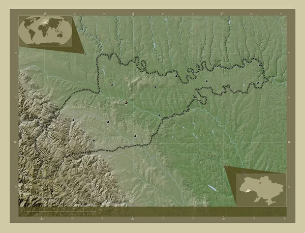
Chernivtsi, region of Ukraine. Elevation map colored in wiki style with lakes and rivers. Locations of major cities of the region. Corner auxiliary location maps
Chernivtsi Region Ukraine Elevation Map Colored Wiki Style Lakes Rivers — Stock Photo, Image
Summer in the Prairie of Canada
Summer Prairie Canada — Stock Photo, Image
Somogy, county of Hungary. Low resolution satellite map. Locations of major cities of the region. Corner auxiliary location maps
Somogy County Hungary Low Resolution Satellite Map Locations Major Cities — Stock Photo, Image
Baranya, county of Hungary. Low resolution satellite map. Locations of major cities of the region. Corner auxiliary location maps
Baranya County Hungary Low Resolution Satellite Map Locations Major Cities — Stock Photo, Image
Dramatic cloudy sky over a farm field in the prairies of Rocky View County Alberta Canada.
Dramatic Cloudy Sky Farm Field Prairies Rocky View County Alberta — Stock Photo, Image
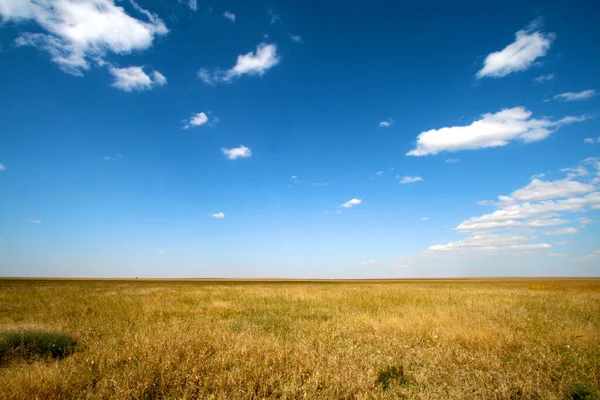
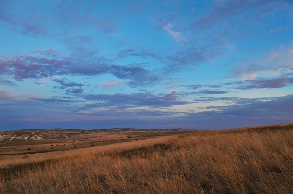
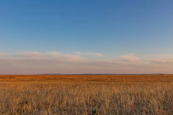
Sunrise in the steppes. Blue sky, yellow grass.
Sunrise in the steppes. Blue sky, yellow grass. — Stock Photo, Image
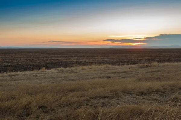
Sunset in the field in the fall
Sunset in the field in the fall — Stock Photo, Image
Cross River, state of Nigeria. Colored elevation map with lakes and rivers. Locations of major cities of the region. Corner auxiliary location maps
Cross River State Nigeria Colored Elevation Map Lakes Rivers Locations — Stock Photo, Image
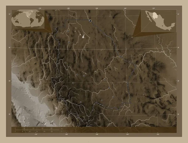
Chihuahua, state of Mexico. Elevation map colored in sepia tones with lakes and rivers. Locations of major cities of the region. Corner auxiliary location maps
Chihuahua State Mexico Elevation Map Colored Sepia Tones Lakes Rivers — Stock Photo, Image
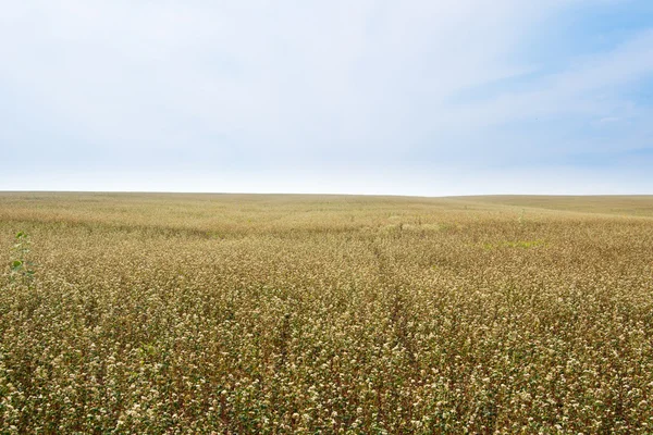
Buckwheat
Buckwheat — Stock Photo, Image
Vidin, province of Bulgaria. Colored elevation map with lakes and rivers. Locations of major cities of the region. Corner auxiliary location maps
Vidin Province Bulgaria Colored Elevation Map Lakes Rivers Locations Major — Stock Photo, Image
Steppe
Steppe — Stock Photo, Image
Wheat and sky
Wheat and sky — Stock Photo, Image
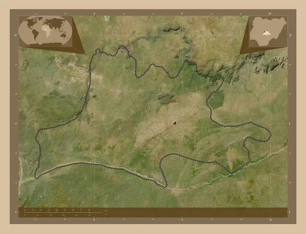
Nassarawa, state of Nigeria. Low resolution satellite map. Corner auxiliary location maps
Nassarawa State Nigeria Low Resolution Satellite Map Corner Auxiliary Location — Stock Photo, Image
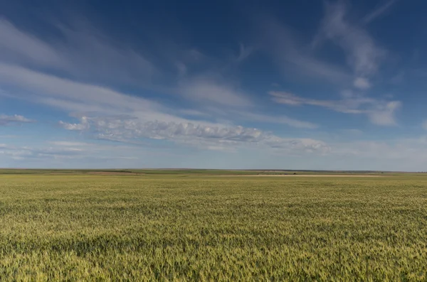
Field of wheat or grain under dramatic cloudy sky
Field of wheat or grain under dramatic cloudy sky — Stock Photo, Image
Chernivtsi, region of Ukraine. Colored elevation map with lakes and rivers. Locations of major cities of the region. Corner auxiliary location maps
Chernivtsi Region Ukraine Colored Elevation Map Lakes Rivers Locations Major — Stock Photo, Image
Minnesota, state of United States of America. Elevation map colored in wiki style with lakes and rivers
Minnesota State United States America Elevation Map Colored Wiki Style — Stock Photo, Image
Serengeti National Park in Tanzania
Serengeti National Park Tanzania — Stock Photo, Image
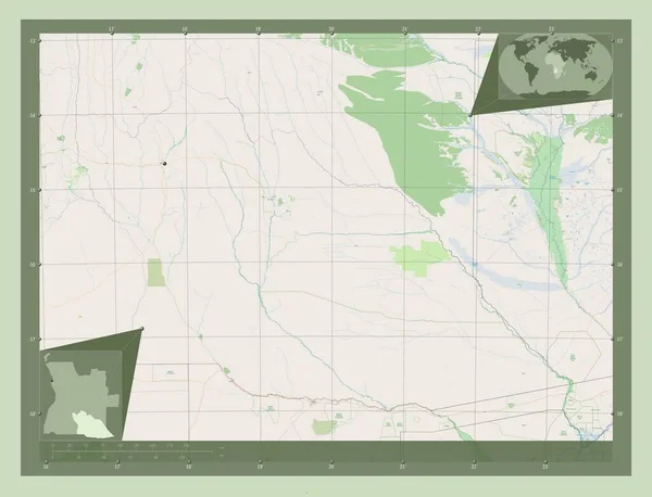
Cuando Cubango, province of Angola. Open Street Map. Corner auxiliary location maps
Cuando Cubango Province Angola Open Street Map Corner Auxiliary Location — Stock Photo, Image
Artigas, department of Uruguay. Low resolution satellite map. Corner auxiliary location maps
Artigas Department Uruguay Low Resolution Satellite Map Corner Auxiliary Location — Stock Photo, Image
Altai mountains. Beautiful highland landscape. Mongolia
Altai mountains. Beautiful highland landscape. Mongolia — Stock Photo, Image
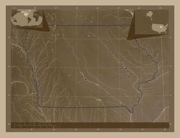
Iowa, state of United States of America. Elevation map colored in sepia tones with lakes and rivers. Locations of major cities of the region. Corner auxiliary location maps
Iowa State United States America Elevation Map Colored Sepia Tones — Stock Photo, Image
Nisporeni, district of Moldova. High resolution satellite map. Corner auxiliary location maps
Nisporeni District Moldova High Resolution Satellite Map Corner Auxiliary Location — Stock Photo, Image
Ruck traveling on a highway
Ruck traveling on a highway — Stock Photo, Image
Autumn sunset on the meadow.
Autumn sunset on the meadow. — Stock Photo, Image
Cornfield with cloudy sky in hochsauerlandkreis
Cornfield Cloudy Sky Hochsauerlandkreis — Stock Photo, Image
Ascania-Nova is a biosphere reserve located in the Kherson region of Ukraine, near the urban-type settlement of the same name.
Ascania Nova Biosphere Reserve Located Kherson Region Ukraine Urban Type — Stock Photo, Image
Yellow steppe and sunny sky
Yellow steppe and sunny sky — Stock Photo, Image
Steppe
Steppe — Stock Photo, Image
Karuzi, province of Burundi. Low resolution satellite map. Locations and names of major cities of the region. Corner auxiliary location maps
Karuzi Province Burundi Low Resolution Satellite Map Locations Names Major — Stock Photo, Image
Amazing landscape at the Wadden Sea in St Peter Ording Germany - travel photography
Amazing Landscape Wadden Sea Peter Ording Germany Travel Photography — Stock Photo, Image
Potaro-Siparuni, region of Guyana. Elevation map colored in wiki style with lakes and rivers. Locations of major cities of the region. Corner auxiliary location maps
Potaro Siparuni Region Guyana Elevation Map Colored Wiki Style Lakes — Stock Photo, Image
Autumn forest landscape with sun light illumining the fallen leaves
Autumn Forest Landscape Sun Light Illumining Fallen Leaves — Stock Photo, Image
Pampas grass landscape, La Pampa province, Patagonia, Argentina.
Pampas Grass Landscape Pampa Province Patagonia Argentina — Stock Photo, Image
Rio-Negro, department of Uruguay. Colored elevation map with lakes and rivers. Corner auxiliary location maps
Rio Negro Department Uruguay Colored Elevation Map Lakes Rivers Corner — Stock Photo, Image
Sangha, region of Republic of Congo. Open Street Map. Corner auxiliary location maps
Sangha Region Republic Congo Open Street Map Corner Auxiliary Location — Stock Photo, Image
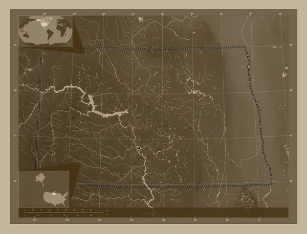
North Dakota, state of United States of America. Elevation map colored in sepia tones with lakes and rivers. Corner auxiliary location maps
North Dakota State United States America Elevation Map Colored Sepia — Stock Photo, Image
Panorama Point Overlook, Badlands National Park, South Dakota
Panorama Point Overlook Badlands National Park South Dakota — Stock Photo, Image

Great Plains Images: Stunning Visuals for Your Projects

Explore Our Stock of Great Plains Images

Welcome to our gallery of great plains images! We offer a wide selection of high-quality pictures that capture the beauty and grandeur of the Great Plains region. Our stock images come in JPG, AI, and EPS formats, making them suitable for various purposes, such as digital and print projects.

Our collection includes images of the vast and rolling landscapes, prairies stretched all the way to the horizon, and majestic wildlife. Whether you're working on a tourism brochure, educational material, or a website, our great plains images can help convey the essence of this unique region.

Why Use Great Plains Images?

The Great Plains region is truly one of a kind in terms of its natural beauty and wildlife. It's a place where you can find bison grazing on the prairies, tallgrass waving in the wind, or a beautiful sunset painting the sky. By using great plains images, you can showcase this magnificence to the world, engage your audience, and add an emotional touch to your projects.

Moreover, using appropriate visuals can help you to communicate your message more effectively. They can help to grab your audience's attention, illustrate your point, and make your content more appealing and memorable. So, if you're looking to make an impact, using great plains images can be a valuable tool.

How to Choose the Right Image?

When choosing images, it's essential to consider the message you want to convey and your target audience. For example, if you're designing a travel brochure, you might want to showcase the region's landmarks and attractions. In contrast, if you're creating educational material, you might want to focus on flora and fauna, geography, climate, and other aspects.

Make sure that the images are of high quality, have good lighting, and are in line with your branding and style. Also, consider the image's emotional appeal and positive impact on your audience. Do they convey the mood, tone, or message you want to send? Finally, don't forget to check for copyright and license requirements before you use them.

Buy Stock Great Plains Images for Your Projects

In conclusion, great plains images are an excellent choice for various projects, whether you're working on marketing, education, or research-related material. Our collection offers a range of stunning visuals that can breathe life into your content, draw attention, and create a lasting impression.

Whether you're showcasing the beauty of the region, explaining its geography or history, or telling stories about its people and wildlife, our great plains images are a perfect match. So, check out our stock, choose the right images for your project, and take your content to the next level!