Kamchatka peninsula Stock Photos

100,000 Kamchatka peninsula pictures are available under a royalty-free license

  • Best Match
  • Fresh
  • Popular
1-100 of 100,000
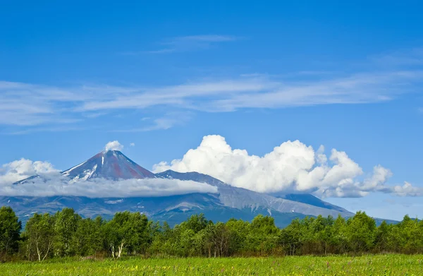
Mountain View
Mountain View — Stock Photo, Image
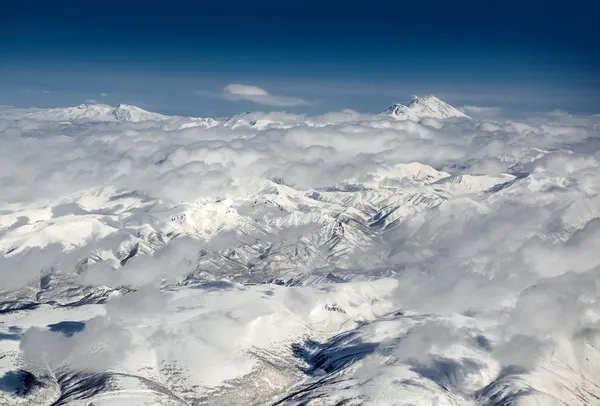
Cloudscape over Koryaksky and Avachinsky volcanoes
Cloudscape over Koryaksky and Avachinsky volcanoes — Stock Photo, Image
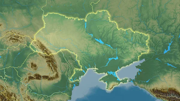
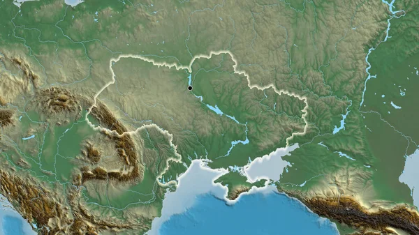
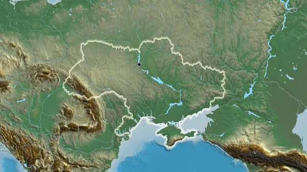
Ukraine area on the topographic relief map in the stereographic projection - raw composition of raster layers with light glowing outline
Ukraine Area Topographic Relief Map Stereographic Projection Raw Composition Raster — Stock Photo, Image
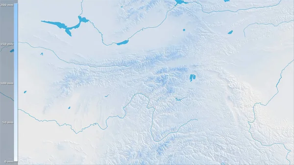
Precipitation of driest quarter within the Tajikistan area in the stereographic projection with legend - raw composition of raster layers
Precipitation Driest Quarter Tajikistan Area Stereographic Projection Legend Raw Composition — Stock Photo, Image
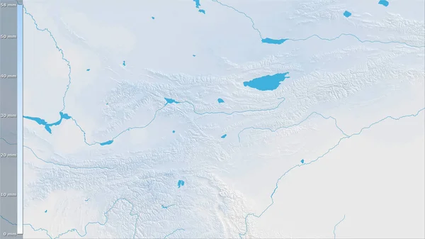
Precipitation of driest month within the Kyrgyzstan area in the stereographic projection with legend - raw composition of raster layers
Precipitation Driest Month Kyrgyzstan Area Stereographic Projection Legend Raw Composition — Stock Photo, Image
Precipitation of driest month within the Kyrgyzstan area in the stereographic projection with legend - raw composition of raster layers
Precipitation Driest Month Kyrgyzstan Area Stereographic Projection Legend Raw Composition — Stock Photo, Image
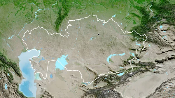
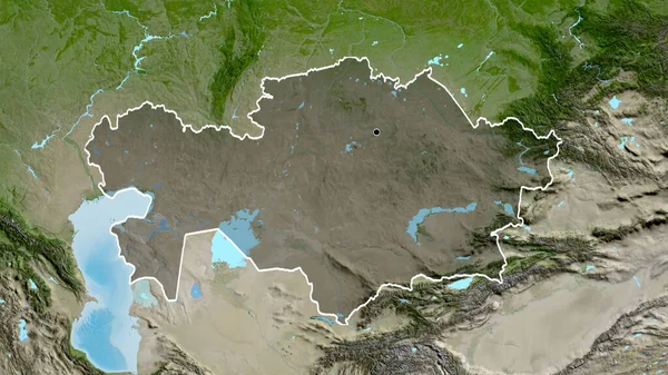
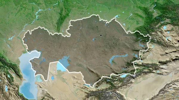
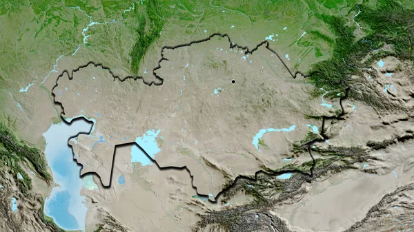
Close-up of the Kazakhstan border area on a satellite map. Capital point. Outline around the country shape.
Close Kazakhstan Border Area Satellite Map Capital Point Outline Country — Stock Photo, Image
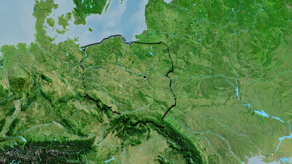
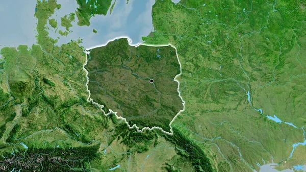
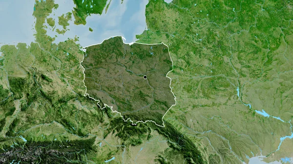
Close-up of the Poland border area on a satellite map. Capital point. Bevelled edges of the country shape.
Close Poland Border Area Satellite Map Capital Point Bevelled Edges — Stock Photo, Image
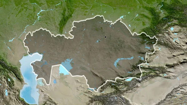
Close-up of the Kazakhstan border area highlighting with a dark overlay on a satellite map. Capital point. Glow around the country shape.
Close Kazakhstan Border Area Highlighting Dark Overlay Satellite Map Capital — Stock Photo, Image
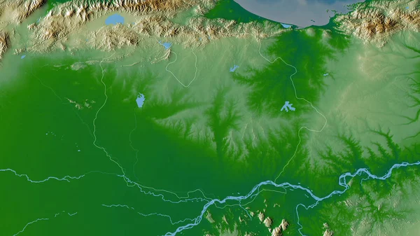
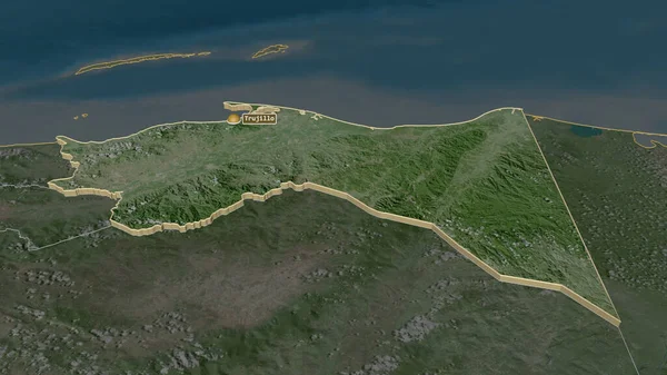
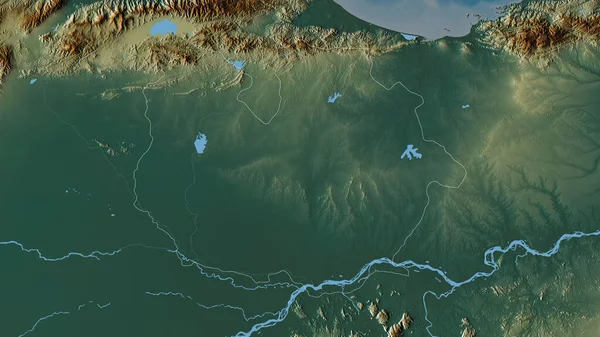
Guarico , state of Venezuela. Colored shader data with lakes and rivers. Shape outlined against its country area. 3D rendering
Guarico State Venezuela Colored Shader Data Lakes Rivers Shape Outlined — Stock Photo, Image
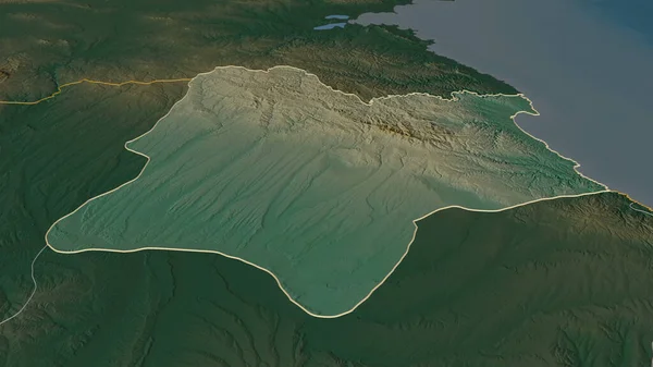
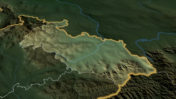
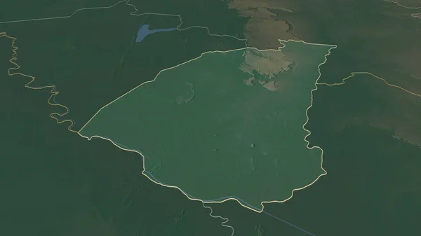
Zoom in on Kirklareli (province of Turkey) outlined. Oblique perspective. Topographic relief map with surface waters. 3D rendering
Zoom Kirklareli Province Turkey Outlined Oblique Perspective Topographic Relief Map — Stock Photo, Image
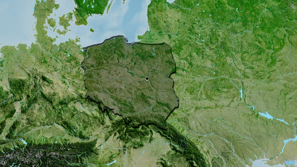
Close-up of the Poland border area highlighting with a dark overlay on a satellite map. Capital point. Bevelled edges of the country shape.
Close Poland Border Area Highlighting Dark Overlay Satellite Map Capital — Stock Photo, Image
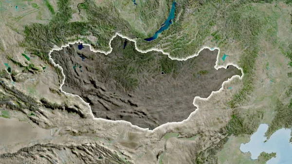
Close-up of the Mongolia border area highlighting with a dark overlay on a satellite map. Capital point. Glow around the country shape.
Close Mongolia Border Area Highlighting Dark Overlay Satellite Map Capital — Stock Photo, Image
Shape of Saitama, prefecture of Japan, and its capital. Distance scale, previews and labels. Satellite imagery. 3D rendering
Shape Saitama Prefecture Japan Its Capital Distance Scale Previews Labels — Stock Photo, Image
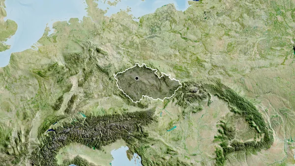
Close-up of the Czechia border area highlighting with a dark overlay on a satellite map. Capital point. Glow around the country shape.
Close Czechia Border Area Highlighting Dark Overlay Satellite Map Capital — Stock Photo, Image
Tlemcen, province of Algeria. Colored elevation map with lakes and rivers
Tlemcen Province Algeria Colored Elevation Map Lakes Rivers — Stock Photo, Image
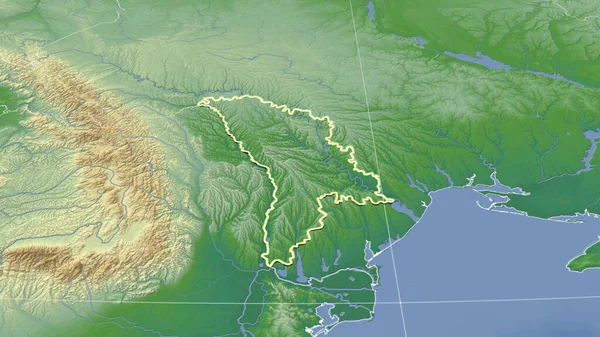
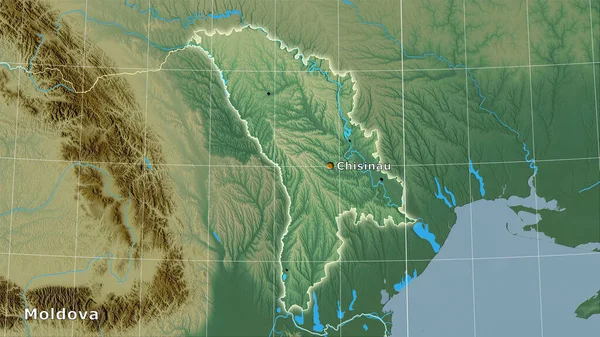
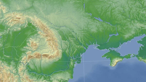
Moldova and its neighborhood. Distant oblique perspective - shape outlined. color physical map
Moldova Its Neighborhood Distant Oblique Perspective Shape Outlined Color Physical — Stock Photo, Image
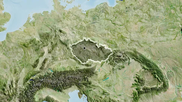
Close-up of the Czechia border area highlighting with a dark overlay on a satellite map. Capital point. Outline around the country shape.
Close Czechia Border Area Highlighting Dark Overlay Satellite Map Capital — Stock Photo, Image
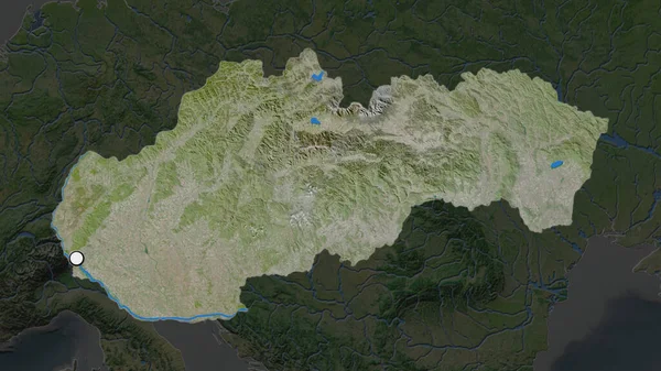
The highlighted area of Slovakia with capital point on the desaturated map of its neighbourhood. Satellite imagery
Highlighted Area Slovakia Capital Point Desaturated Map Its Neighbourhood Satellite — Stock Photo, Image
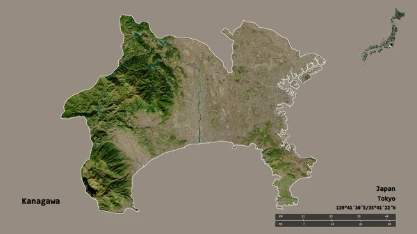
Shape of Kanagawa, prefecture of Japan, with its capital isolated on solid background. Distance scale, region preview and labels. Satellite imagery. 3D rendering
Shape Kanagawa Prefecture Japan Its Capital Isolated Solid Background Distance — Stock Photo, Image
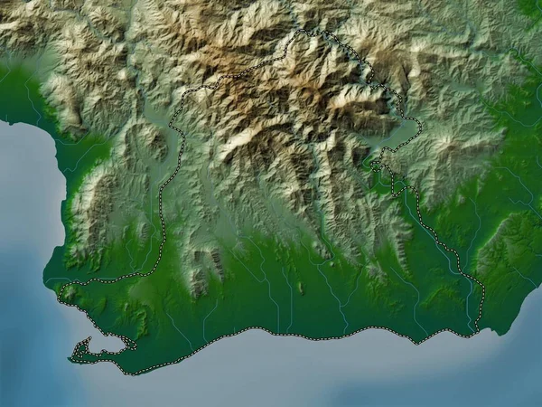
Peravia, province of Dominican Republic. Colored elevation map with lakes and rivers
Peravia Province Dominican Republic Colored Elevation Map Lakes Rivers — Stock Photo, Image
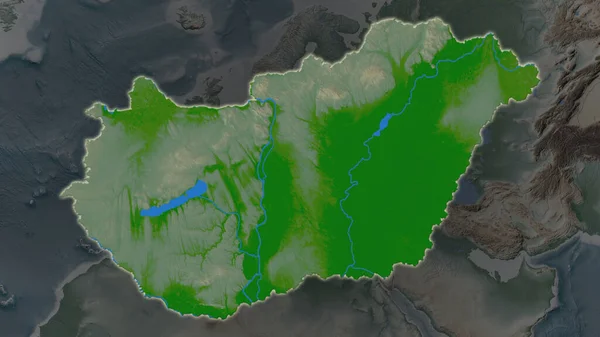
Hungary area enlarged and glowed on a darkened background of its surroundings. Main physical landscape features
Hungary Area Enlarged Glowed Darkened Background Its Surroundings Main Physical — Stock Photo, Image
Hungary area enlarged and glowed on a darkened background of its surroundings. Main physical landscape features
Hungary Area Enlarged Glowed Darkened Background Its Surroundings Main Physical — Stock Photo, Image
Hungary area enlarged and glowed on a darkened background of its surroundings. Main physical landscape features
Hungary Area Enlarged Glowed Darkened Background Its Surroundings Main Physical — Stock Photo, Image
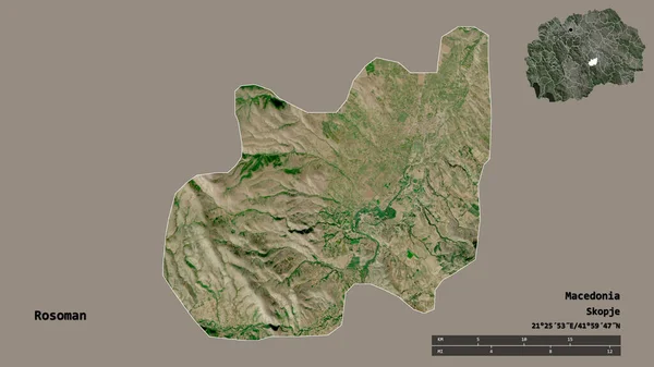
Shape of Rosoman, municipality of Macedonia, with its capital isolated on solid background. Distance scale, region preview and labels. Satellite imagery. 3D rendering
Shape Rosoman Municipality Macedonia Its Capital Isolated Solid Background Distance — Stock Photo, Image
Grand Est, region of France. Colored shader data with lakes and rivers. Shape outlined against its country area. 3D rendering
Grand Est Region France Colored Shader Data Lakes Rivers Shape — Stock Photo, Image
Zoom in on Colon (department of Honduras) extruded. Oblique perspective. Satellite imagery. 3D rendering
Zoom Colon Department Honduras Extruded Oblique Perspective Satellite Imagery Rendering — Stock Photo, Image
Moldova area on the topographic relief map in the stereographic projection - main composition
Moldova Area Topographic Relief Map Stereographic Projection Main Composition — Stock Photo, Image
Guarico , state of Venezuela. Colored relief with lakes and rivers. Shape outlined against its country area. 3D rendering
Guarico State Venezuela Colored Relief Lakes Rivers Shape Outlined Its — Stock Photo, Image
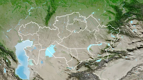
Close-up of the Kazakhstan border area and its regional borders on a satellite map. Capital point. Outline around the country shape.
Close Kazakhstan Border Area Its Regional Borders Satellite Map Capital — Stock Photo, Image
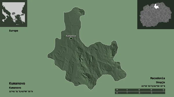
Shape of Kumanovo, municipality of Macedonia, and its capital. Distance scale, previews and labels. Colored elevation map. 3D rendering
Shape Kumanovo Municipality Macedonia Its Capital Distance Scale Previews Labels — Stock Photo, Image
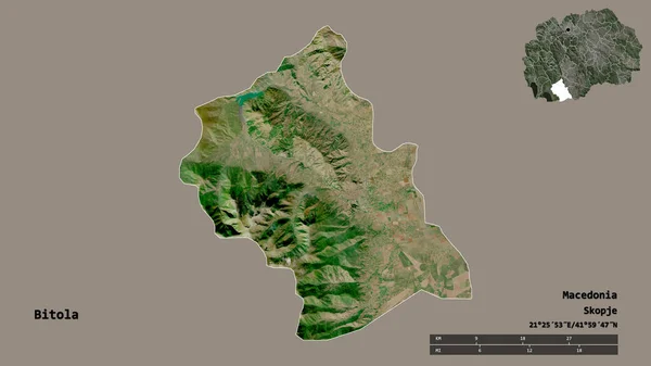
Shape of Bitola, municipality of Macedonia, with its capital isolated on solid background. Distance scale, region preview and labels. Satellite imagery. 3D rendering
Shape Bitola Municipality Macedonia Its Capital Isolated Solid Background Distance — Stock Photo, Image
Close-up of the Kazakhstan border area highlighting with a dark overlay on a satellite map. Capital point. Outline around the country shape.
Close Kazakhstan Border Area Highlighting Dark Overlay Satellite Map Capital — Stock Photo, Image
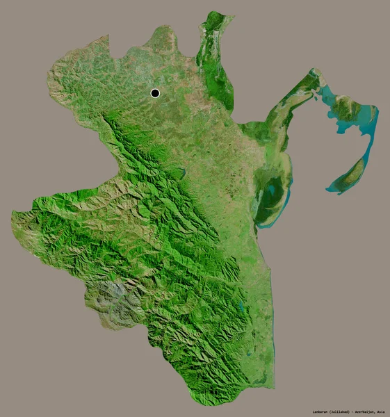
Shape of Lankaran, region of Azerbaijan, with its capital isolated on a solid color background. Satellite imagery. 3D rendering
Shape Lankaran Region Azerbaijan Its Capital Isolated Solid Color Background — Stock Photo, Image
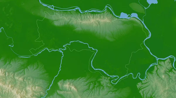
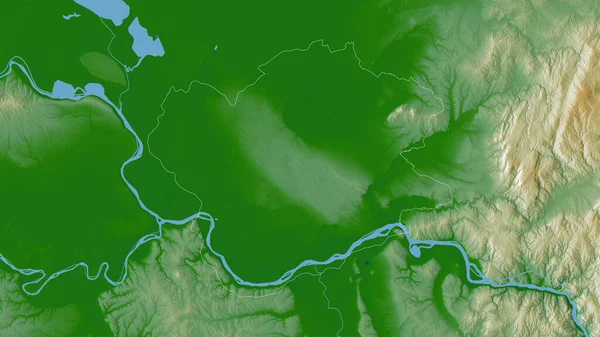
Sremski, district of Serbia. Colored shader data with lakes and rivers. Shape outlined against its country area. 3D rendering
Sremski District Serbia Colored Shader Data Lakes Rivers Shape Outlined — Stock Photo, Image
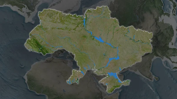
Ukraine area enlarged and glowed on a darkened background of its surroundings. Satellite imagery
Ukraine Area Enlarged Glowed Darkened Background Its Surroundings Satellite Imagery — Stock Photo, Image
Ukraine area enlarged and glowed on a darkened background of its surroundings. Satellite imagery
Ukraine Area Enlarged Glowed Darkened Background Its Surroundings Satellite Imagery — Stock Photo, Image
Mtwara - region of Tanzania zoomed and highlighted. Main physical landscape features. 3D rendering
Mtwara Region Tanzania Zoomed Highlighted Main Physical Landscape Features Rendering — Stock Photo, Image
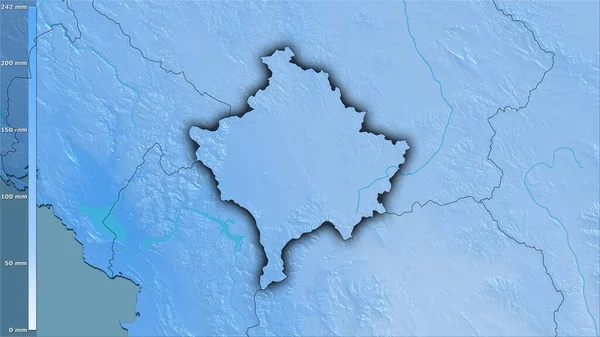
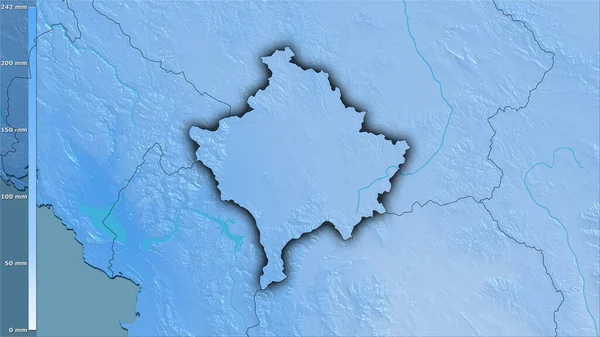
Precipitation of wettest month within the Kosovo area in the stereographic projection with legend - raw composition of raster layers with dark glowing outline
Precipitation Wettest Month Kosovo Area Stereographic Projection Legend Raw Composition — Stock Photo, Image
Precipitation of wettest month within the Kosovo area in the stereographic projection with legend - raw composition of raster layers with dark glowing outline
Precipitation Wettest Month Kosovo Area Stereographic Projection Legend Raw Composition — Stock Photo, Image
Tashkent - region of Uzbekistan zoomed and highlighted. Main physical landscape features. 3D rendering
Tashkent Region Uzbekistan Zoomed Highlighted Main Physical Landscape Features Rendering — Stock Photo, Image
Close-up of the Kazakhstan border area highlighting with a dark overlay on a satellite map. Capital point. Glow around the country shape.
Close Kazakhstan Border Area Highlighting Dark Overlay Satellite Map Capital — Stock Photo, Image
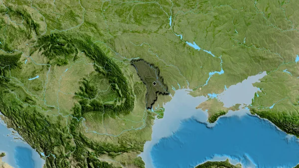
Close-up of the Moldova border area highlighting with a dark overlay on a satellite map. Capital point. Bevelled edges of the country shape.
Close Moldova Border Area Highlighting Dark Overlay Satellite Map Capital — Stock Photo, Image
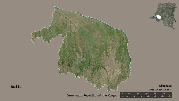
Shape of Kwilu, province of Democratic Republic of the Congo, with its capital isolated on solid background. Distance scale, region preview and labels. Satellite imagery. 3D rendering
Shape Kwilu Province Democratic Republic Congo Its Capital Isolated Solid — Stock Photo, Image
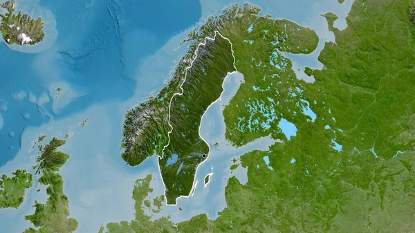
Close-up of the Sweden border area highlighting with a dark overlay on a satellite map. Capital point. Outline around the country shape.
Close Sweden Border Area Highlighting Dark Overlay Satellite Map Capital — Stock Photo, Image
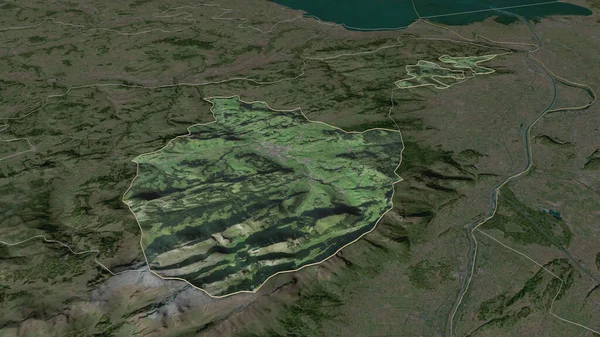
Zoom in on Appenzell Innerrhoden (canton of Switzerland) outlined. Oblique perspective. Satellite imagery. 3D rendering
Zoom Appenzell Innerrhoden Canton Switzerland Outlined Oblique Perspective Satellite Imagery — Stock Photo, Image
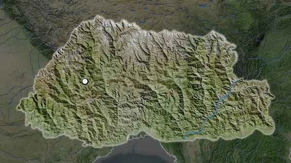
The highlighted area of Bhutan with capital point on the desaturated map of its neighbourhood. Satellite imagery
Highlighted Area Bhutan Capital Point Desaturated Map Its Neighbourhood Satellite — Stock Photo, Image
Izabal, department of Guatemala. Colored shader data with lakes and rivers. Shape outlined against its country area. 3D rendering
Izabal Department Guatemala Colored Shader Data Lakes Rivers Shape Outlined — Stock Photo, Image
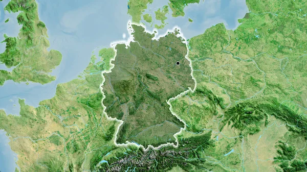
Close-up of the Germany border area highlighting with a dark overlay on a satellite map. Capital point. Glow around the country shape.
Close Germany Border Area Highlighting Dark Overlay Satellite Map Capital — Stock Photo, Image
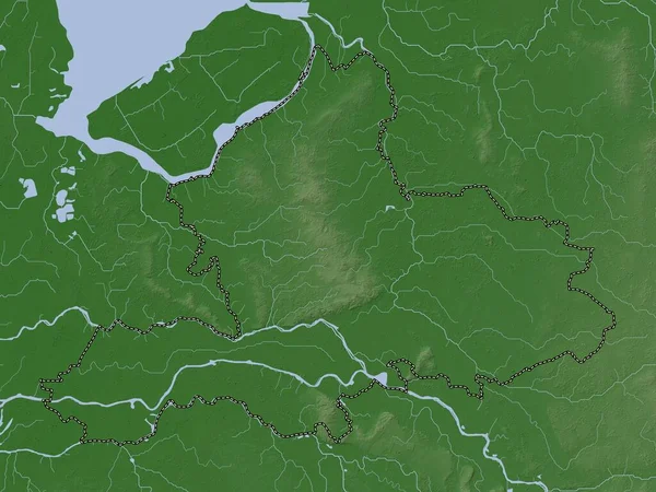
Gelderland, province of Netherlands. Elevation map colored in wiki style with lakes and rivers
Gelderland Province Netherlands Elevation Map Colored Wiki Style Lakes Rivers — Stock Photo, Image
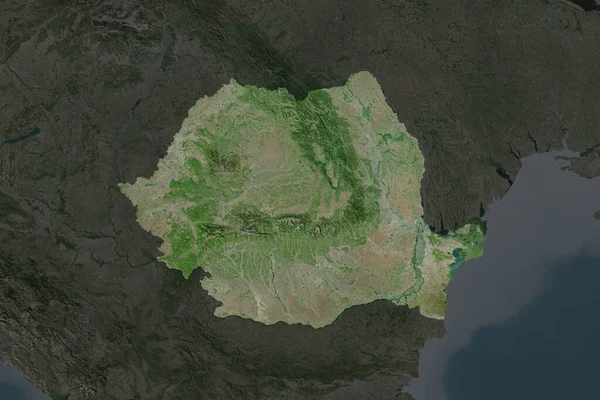
Shape of Romania separated by the desaturation of neighboring areas. Satellite imagery. 3D rendering
Shape Romania Separated Desaturation Neighboring Areas Satellite Imagery Rendering — Stock Photo, Image
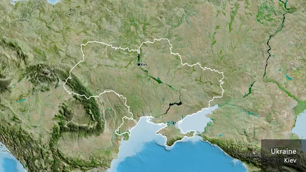
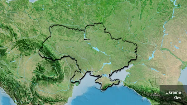
Close-up of the Ukraine border area on a satellite map. Capital point. Outline around the country shape. English name of the country and its capital
Close Ukraine Border Area Satellite Map Capital Point Outline Country — Stock Photo, Image
Kaoh Kong, province of Cambodia. Elevation map colored in wiki style with lakes and rivers
Kaoh Kong Province Cambodia Elevation Map Colored Wiki Style Lakes — Stock Photo, Image
Close-up of the Ukraine border area on a satellite map. Capital point. Bevelled edges of the country shape. English name of the country and its capital
Close Ukraine Border Area Satellite Map Capital Point Bevelled Edges — Stock Photo, Image
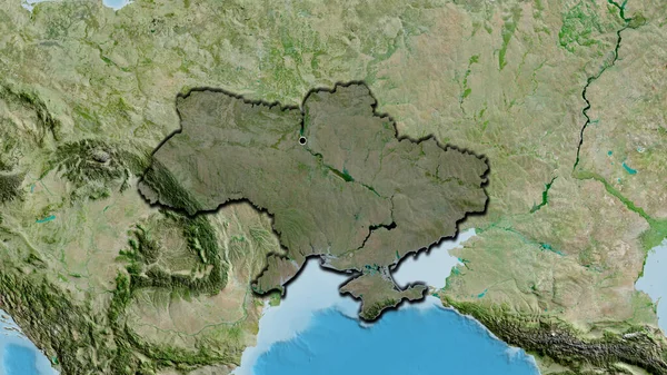
Close-up of the Ukraine border area highlighting with a dark overlay on a satellite map. Capital point. Bevelled edges of the country shape.
Close Ukraine Border Area Highlighting Dark Overlay Satellite Map Capital — Stock Photo, Image
Tokushima, prefecture of Japan. Satellite imagery. Shape outlined against its country area. 3D rendering
Tokushima Prefecture Japan Satellite Imagery Shape Outlined Its Country Area — Stock Photo, Image
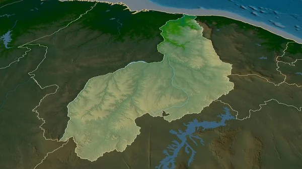
Piaui - state of Brazil zoomed and highlighted. Main physical landscape features. 3D rendering
Piaui State Brazil Zoomed Highlighted Main Physical Landscape Features Rendering — Stock Photo, Image
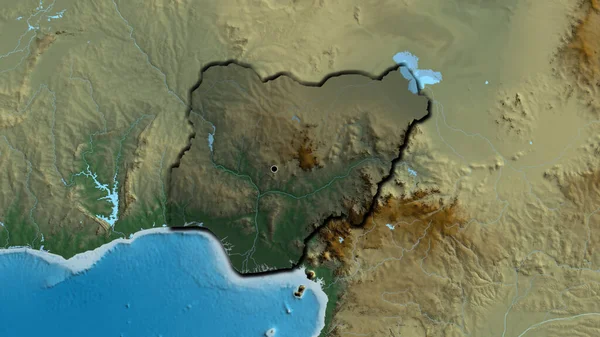
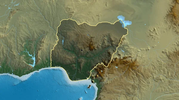
Close-up of the Niger border area highlighting with a dark overlay on a relief map. Capital point. Bevelled edges of the country shape.
Close Niger Border Area Highlighting Dark Overlay Relief Map Capital — Stock Photo, Image
Moravskoslezsky - region of Czech Republic zoomed and highlighted. Main physical landscape features. 3D rendering
Moravskoslezsky Region Czech Republic Zoomed Highlighted Main Physical Landscape Features — Stock Photo, Image
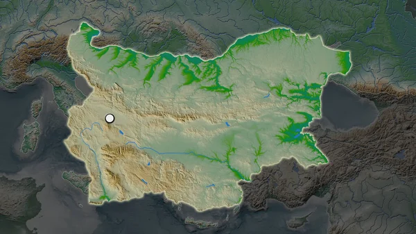
The highlighted area of Bulgaria with capital point on the desaturated map of its neighbourhood. Color physical map
Highlighted Area Bulgaria Capital Point Desaturated Map Its Neighbourhood Color — Stock Photo, Image
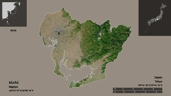
Shape of Aichi, prefecture of Japan, and its capital. Distance scale, previews and labels. Satellite imagery. 3D rendering
Shape Aichi Prefecture Japan Its Capital Distance Scale Previews Labels — Stock Photo, Image
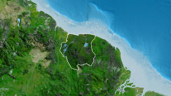
Close-up of the Suriname border area highlighting with a dark overlay on a satellite map. Capital point. Outline around the country shape.
Close Suriname Border Area Highlighting Dark Overlay Satellite Map Capital — Stock Photo, Image
Close-up of the Poland border area highlighting with a dark overlay on a satellite map. Capital point. Glow around the country shape.
Close Poland Border Area Highlighting Dark Overlay Satellite Map Capital — Stock Photo, Image
Close-up of the Niger border area highlighting with a dark overlay on a relief map. Capital point. Outline around the country shape.
Close Niger Border Area Highlighting Dark Overlay Relief Map Capital — Stock Photo, Image
Kanagawa, prefecture of Japan. Colored elevation map with lakes and rivers
Kanagawa Prefecture Japan Colored Elevation Map Lakes Rivers — Stock Photo, Image
Moldova and its neighborhood. Distant oblique perspective - no outline. color physical map
Moldova Its Neighborhood Distant Oblique Perspective Outline Color Physical Map — Stock Photo, Image
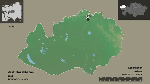
Shape of West Kazakhstan, region of Kazakhstan, and its capital. Distance scale, previews and labels. Topographic relief map. 3D rendering
Shape West Kazakhstan Region Kazakhstan Its Capital Distance Scale Previews — Stock Photo, Image
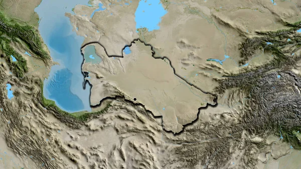
Close-up of the Turkmenistan border area on a satellite map. Capital point. Bevelled edges of the country shape.
Close Turkmenistan Border Area Satellite Map Capital Point Bevelled Edges — Stock Photo, Image
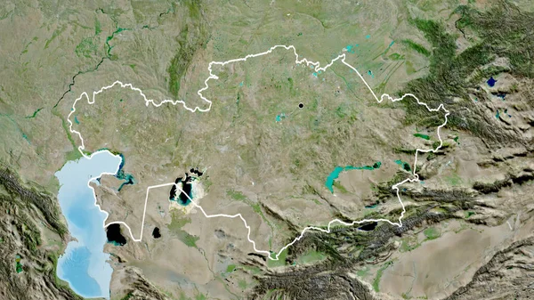
Close-up of the Kazakhstan border area on a satellite map. Capital point. Outline around the country shape.
Close Kazakhstan Border Area Satellite Map Capital Point Outline Country — Stock Photo, Image
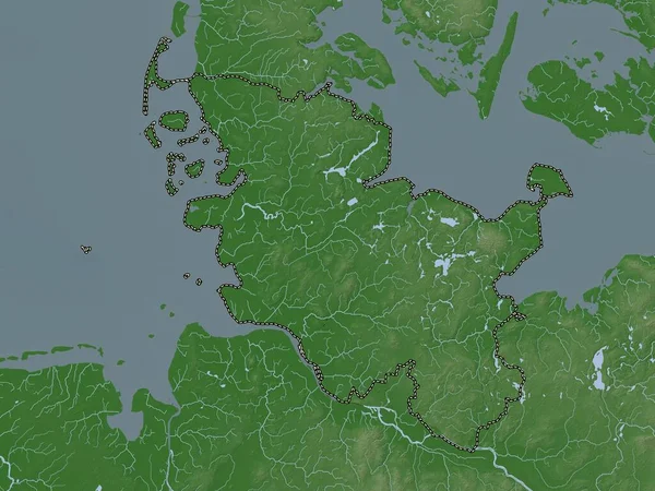
Schleswig-Holstein, state of Germany. Elevation map colored in wiki style with lakes and rivers
Schleswig Holstein State Germany Elevation Map Colored Wiki Style Lakes — Stock Photo, Image
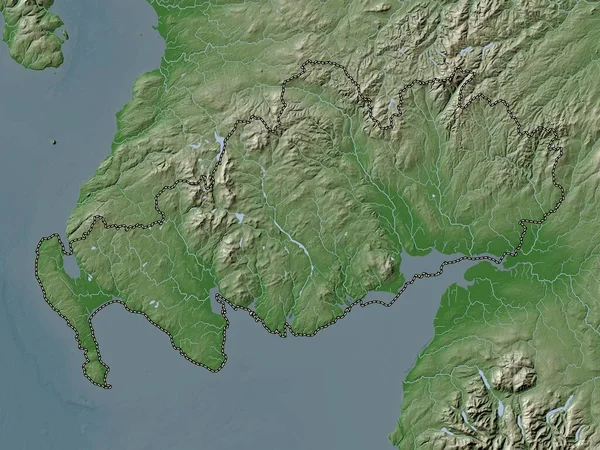
Dumfries and Galloway, region of Scotland - Great Britain. Elevation map colored in wiki style with lakes and rivers
Dumfries Galloway Region Scotland Great Britain Elevation Map Colored Wiki — Stock Photo, Image
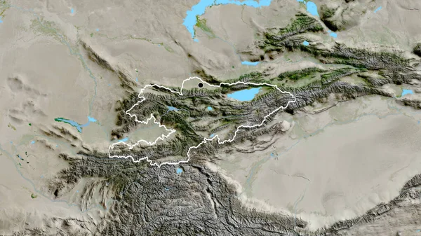
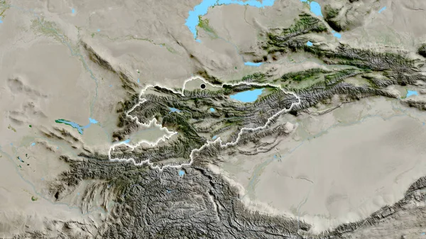
Close-up of the Kyrgyzstan border area on a satellite map. Capital point. Outline around the country shape.
Close Kyrgyzstan Border Area Satellite Map Capital Point Outline Country — Stock Photo, Image
Vidin, province of Bulgaria. Colored elevation map with lakes and rivers
Vidin Province Bulgaria Colored Elevation Map Lakes Rivers — Stock Photo, Image
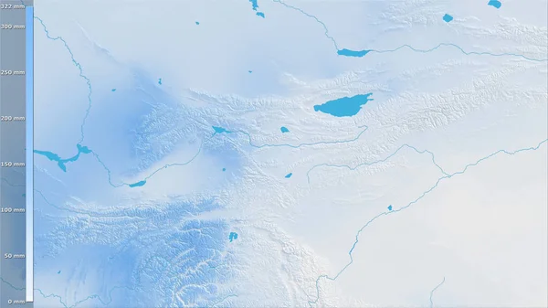
Precipitation of coldest quarter within the Kyrgyzstan area in the stereographic projection with legend - raw composition of raster layers
Precipitation Coldest Quarter Kyrgyzstan Area Stereographic Projection Legend Raw Composition — Stock Photo, Image
Juzno-Banatski, district of Serbia. Colored shader data with lakes and rivers. Shape outlined against its country area. 3D rendering
Juzno Banatski District Serbia Colored Shader Data Lakes Rivers Shape — Stock Photo, Image
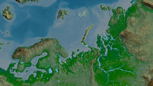
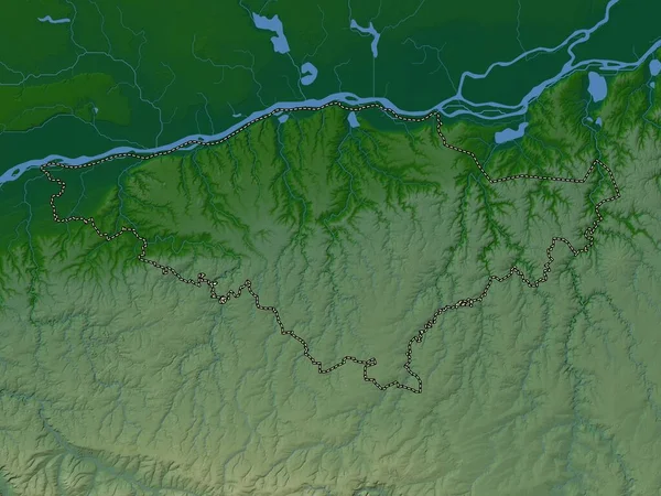
Arkhangel'sk, region of Russia. Colored shader data with lakes and rivers. Shape outlined against its country area. 3D rendering
Arkhangel Region Russia Colored Shader Data Lakes Rivers Shape Outlined — Stock Photo, Image
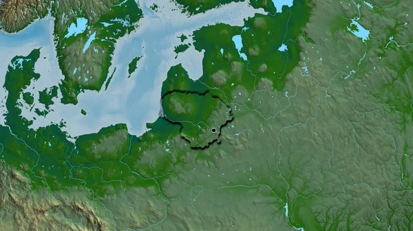
Close-up of the Lithuania border area on a physical map. Capital point. Bevelled edges of the country shape.
Close Lithuania Border Area Physical Map Capital Point Bevelled Edges — Stock Photo, Image
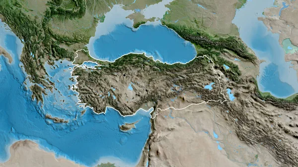
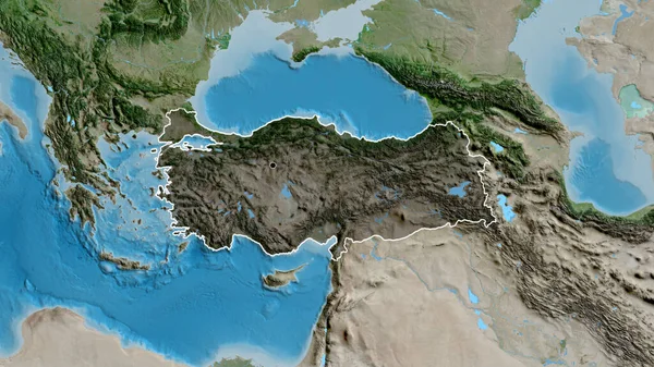
Close-up of the Turkiye border area on a satellite map. Capital point. Outline around the country shape.
Close Turkiye Border Area Satellite Map Capital Point Outline Country — Stock Photo, Image
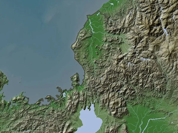
Fukui, prefecture of Japan. Elevation map colored in wiki style with lakes and rivers
Fukui Prefecture Japan Elevation Map Colored Wiki Style Lakes Rivers — Stock Photo, Image
Close-up of the Kyrgyzstan border area on a satellite map. Capital point. Glow around the country shape.
Close Kyrgyzstan Border Area Satellite Map Capital Point Glow Country — Stock Photo, Image
Close-up of Austria and its location in the region and in the center of a large-scale world map. Satellite imagery
Close Austria Its Location Region Center Large Scale World Map — Stock Photo, Image
Zoom in on Guidimaka (region of Mauritania) outlined. Oblique perspective. Topographic relief map with surface waters. 3D rendering
Zoom Guidimaka Region Mauritania Outlined Oblique Perspective Topographic Relief Map — Stock Photo, Image
Close-up of the Ukraine border area on a relief map. Capital point. Glow around the country shape.
Close Ukraine Border Area Relief Map Capital Point Glow Country — Stock Photo, Image
Close-up of the Ukraine border area on a relief map. Capital point. Glow around the country shape.
Close Ukraine Border Area Relief Map Capital Point Glow Country — Stock Photo, Image
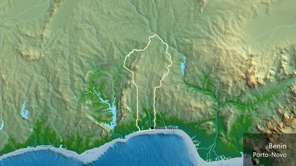
Close-up of the Benin border area on a physical map. Capital point. Outline around the country shape. English name of the country and its capital
Close Benin Border Area Physical Map Capital Point Outline Country — Stock Photo, Image
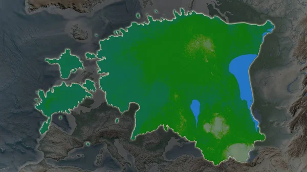
Estonia area enlarged and glowed on a darkened background of its surroundings. Main physical landscape features
Estonia Area Enlarged Glowed Darkened Background Its Surroundings Main Physical — Stock Photo, Image
Estonia area enlarged and glowed on a darkened background of its surroundings. Main physical landscape features
Estonia Area Enlarged Glowed Darkened Background Its Surroundings Main Physical — Stock Photo, Image
Appenzell Ausserrhoden, canton of Switzerland. Satellite imagery. Shape outlined against its country area. 3D rendering
Appenzell Ausserrhoden Canton Switzerland Satellite Imagery Shape Outlined Its Country — Stock Photo, Image
Silistra, province of Bulgaria. Colored elevation map with lakes and rivers
Silistra Province Bulgaria Colored Elevation Map Lakes Rivers — Stock Photo, Image
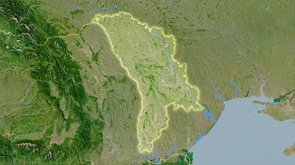
Moldova area on the satellite C map in the stereographic projection - raw composition of raster layers with light glowing outline
Moldova Area Satellite Map Stereographic Projection Raw Composition Raster Layers — Stock Photo, Image
Close-up of the Turkiye border area highlighting with a dark overlay on a satellite map. Capital point. Outline around the country shape.
Close Turkiye Border Area Highlighting Dark Overlay Satellite Map Capital — Stock Photo, Image
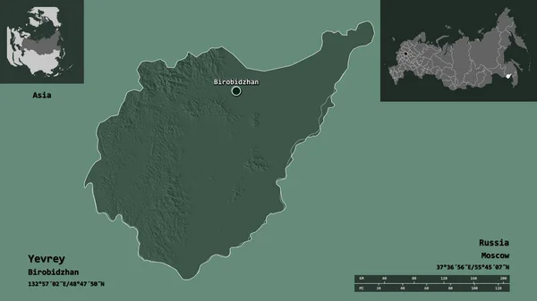
Shape of Yevrey, autonomous region of Russia, and its capital. Distance scale, previews and labels. Colored elevation map. 3D rendering
Shape Yevrey Autonomous Region Russia Its Capital Distance Scale Previews — Stock Photo, Image
Close-up of the Kazakhstan border area on a satellite map. Capital point. Bevelled edges of the country shape.
Close Kazakhstan Border Area Satellite Map Capital Point Bevelled Edges — Stock Photo, Image
Close-up of the Poland border area highlighting with a dark overlay on a satellite map. Capital point. Outline around the country shape.
Close Poland Border Area Highlighting Dark Overlay Satellite Map Capital — Stock Photo, Image
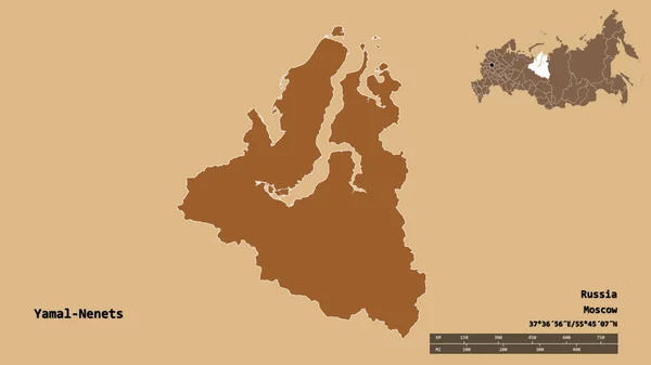
Shape of Yamal-Nenets, autonomous province of Russia, with its capital isolated on solid background. Distance scale, region preview and labels. Composition of regularly patterned textures. 3D rendering
Shape Yamal Nenets Autonomous Province Russia Its Capital Isolated Solid — Stock Photo, Image
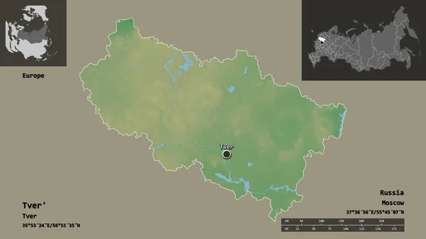
Shape of Tver', region of Russia, and its capital. Distance scale, previews and labels. Topographic relief map. 3D rendering
Shape Tver Region Russia Its Capital Distance Scale Previews Labels — Stock Photo, Image
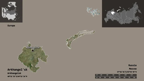
Shape of Arkhangel'sk, region of Russia, and its capital. Distance scale, previews and labels. Satellite imagery. 3D rendering
Shape Arkhangel Region Russia Its Capital Distance Scale Previews Labels — Stock Photo, Image
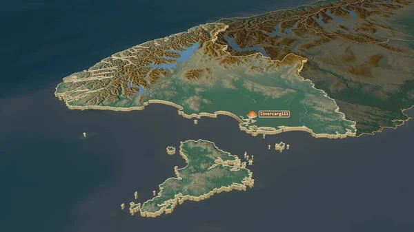
Zoom in on Southland (regional council of New Zealand) extruded. Oblique perspective. Topographic relief map with surface waters. 3D rendering
Zoom Southland Regional Council New Zealand Extruded Oblique Perspective Topographic — Stock Photo, Image
Close-up of the Kyrgyzstan border area highlighting with a dark overlay on a satellite map. Capital point. Outline around the country shape.
Close Kyrgyzstan Border Area Highlighting Dark Overlay Satellite Map Capital — Stock Photo, Image
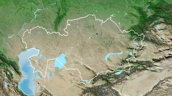
Close-up of the Kazakhstan border area on a satellite map. Capital point. Outline around the country shape.
Close Kazakhstan Border Area Satellite Map Capital Point Outline Country — Stock Photo, Image

Kamchatka Peninsula Images for Eye-Catching Designs

Discover the Beauty of Kamchatka with Our Stock Images

The Kamchatka Peninsula, known as the land of fire and ice, is one of the most breathtaking places on earth. Rich in diverse flora and fauna, this remote region of Russia is a source of inspiration for artists, designers, and photographers around the globe. Our collection of Kamchatka Peninsula images captures the essence of this magnificent place and allows you to use it for your creative projects.

Whether you need stock photos for a travel brochure, website, or presentation, our collection of Kamchatka Peninsula images offers a wide variety of options. From stunning landscapes and wildlife to local customs and traditions, our stock images are perfect for adding an authentic touch to your designs. With high-quality JPG, AI, and EPS file formats to choose from, you can easily incorporate these images into any project.

Get Creative with Our Kamchatka Peninsula Images

Our Kamchatka Peninsula images are not only visually stunning but are also versatile. If you’re looking to create a mural, these images can be printed as large-format posters. You can also use them to create unique postcards or brochures. Even social media managers can use these images to create captivating posts and grow their following. Our collection has something for everyone, so you can confidently use these images for any project.

Make Your Work Stand Out with Kamchatka Peninsula Images

Adding Kamchatka Peninsula images to your design will set your work apart from the rest. These images are perfect for travel agencies, hotels, and outdoor gear companies. Use them to create unique advertisements, social media posts, or to decorate your office walls. Our stock images are ethically sourced and accurately portray the beauty of Kamchatka. Plus, they’re offered at affordable prices, so you can stay within your budget.
Tips for Choosing and Using Stock Images

When choosing stock images for your project, it’s important to consider the following:

- Your target audience: consider who you’re creating your design for and what type of images would be most appealing to them. - Image quality: make sure the images you choose are high-quality and free of copyright issues. - Consistency: try to maintain a consistent visual style throughout your work by choosing images that complement each other. - Purpose: consider the context of where the images will be used and make sure they fit in with the overall message. - Creativity: don’t be afraid to think outside the box and incorporate unique images into your designs.

By keeping these tips in mind, you can use our Kamchatka Peninsula images effectively and make your designs truly stand out.

Get Access to Our Kamchatka Peninsula Images Today

Our vast collection of Kamchatka Peninsula images is ready for you to explore. Browse through our carefully curated selection of breathtaking images and start adding them to your project today. With affordable prices and versatile formats, our stock images will be a valuable addition to any creative endeavor. Discover the beauty of Kamchatka through our images and bring your designs to life.