Land development Stock Photos

100,000 Land development pictures are available under a royalty-free license

  • Best Match
  • Fresh
  • Popular
1-100 of 100,000
Land development
Land development — Stock Photo, Image
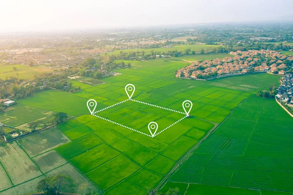
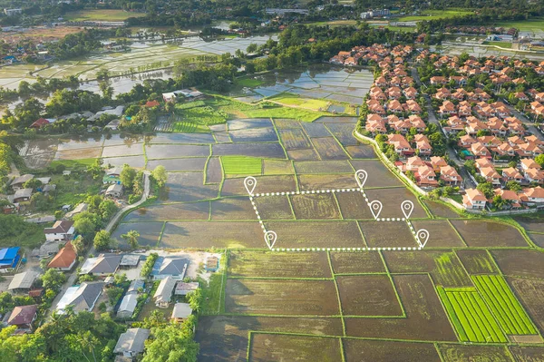
Aerial view of land and positioning point area.
Aerial View Land Positioning Point Area — Stock Photo, Image
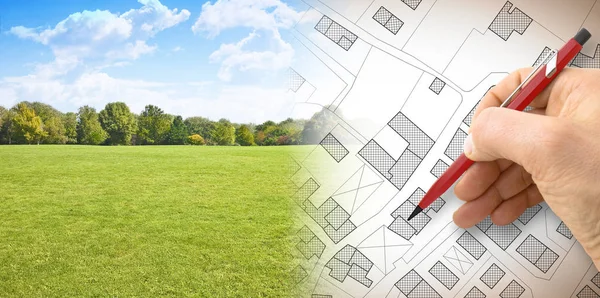
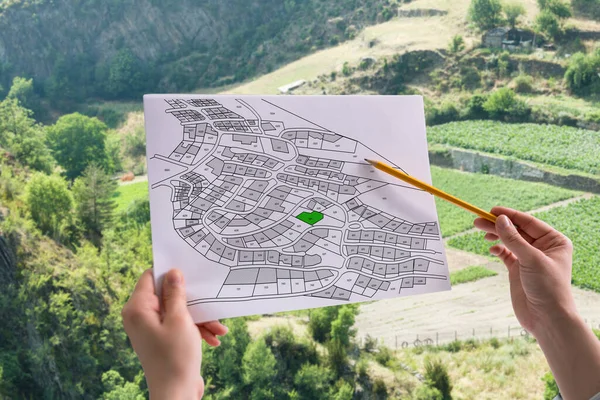
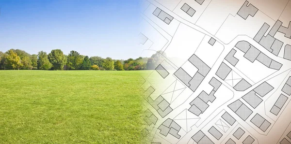
Planning a new city - concept image with hand drawing an imaginary cadastral map of territory with buildings, fields and roads against a green area
Planning New City Concept Image Hand Drawing Imaginary Cadastral Map — Stock Photo, Image
Aerial view of a green rural area under blue sky
Aerial view of a green rural area under blue sky — Stock Photo, Image
Architect working table with construction industry and engineer
Architect working table with construction industry and engineer — Stock Photo, Image
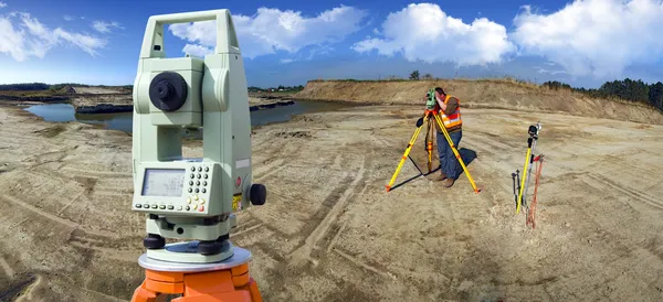
Theodolite survey outdoors
Theodolite survey outdoors — Stock Photo, Image
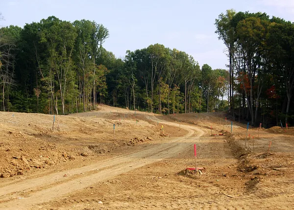
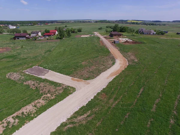
New land development
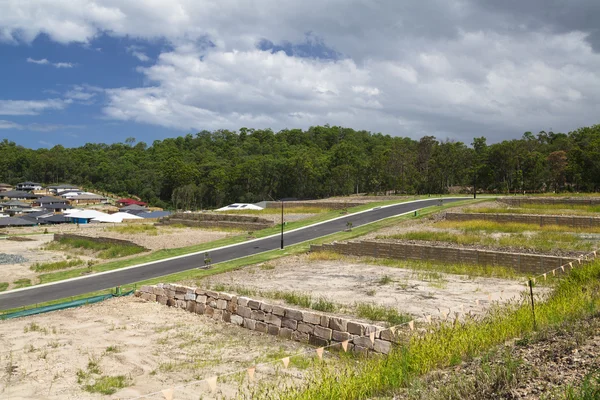
New land development — Stock Photo, Image
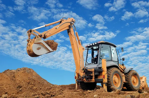
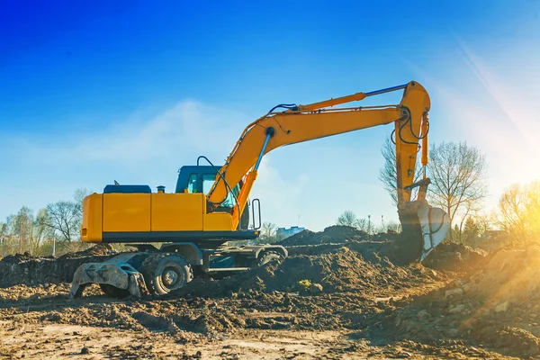
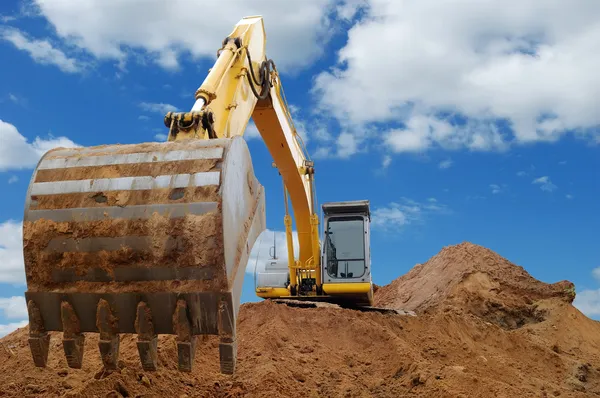
Excavator Loader with rised backhoe
Excavator Loader with rised backhoe — Stock Photo, Image
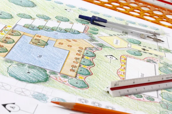
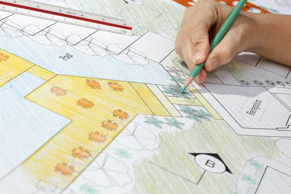
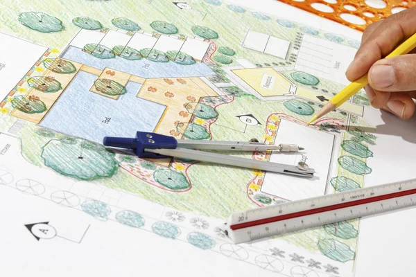
Landscape Architect Design hotel resort plan
Landscape Architect Design hotel resort plan — Stock Photo, Image
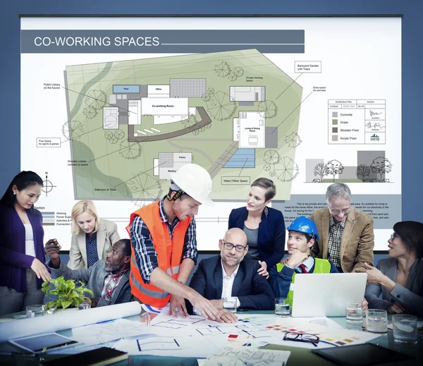
Group of architects at meeting
Group of architects at meeting — Stock Photo, Image
Land reclamation for property development. Sale of land at auction. Commercial building. Leveling, adding soil to the site. Land cleaning work. The first stage of lawn planting. Building area. Banner.
Land Reclamation Property Development Sale Land Auction Commercial Building Leveling — Stock Photo, Image
Safety helmet and architect pland on wood table with sunset scen
Safety helmet and architect pland on wood table with sunset scen — Stock Photo, Image
Landscape Architect Design hotel resort plan
Landscape Architect Design hotel resort plan — Stock Photo, Image
Business people at teamwork meeting
Business people at teamwork meeting — Stock Photo, Image
Group of people working together
Group of people working together — Stock Photo, Image
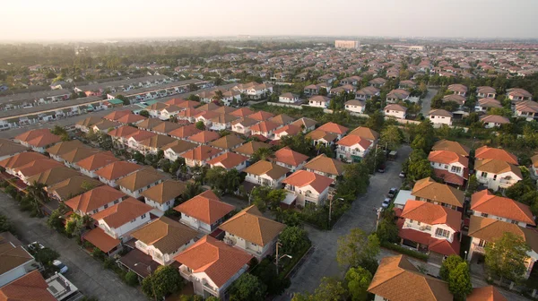
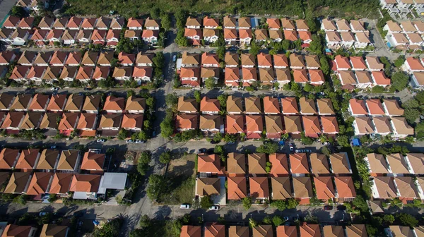
Aerial view of home village in thailand use for land development
Aerial view of home village in thailand use for land development — Stock Photo, Image
Exkavator pouring ground from scoop
Exkavator pouring ground from scoop — Stock Photo, Image
Excavator loader in sandpit
Excavator loader in sandpit — Stock Photo, Image
Land for sale sign in empty field
Land for sale sign in empty field — Stock Photo, Image
Landscape Architect Design hotel resort plan
Landscape Architect Design hotel resort plan — Stock Photo, Image
Aerial view over golf field
Aerial view over golf field — Stock Photo, Image
The land with meadows, forests
The land with meadows, forests — Stock Photo, Image
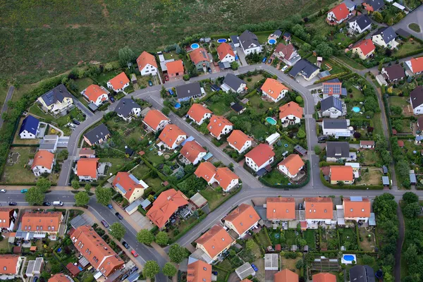
Aerial view over the private houses
Aerial view over the private houses — Stock Photo, Image
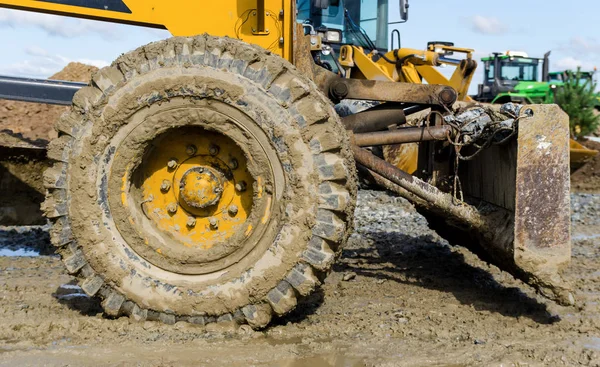
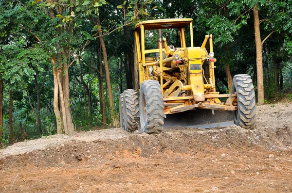
Yellow grader at work
Yellow grader at work — Stock Photo, Image
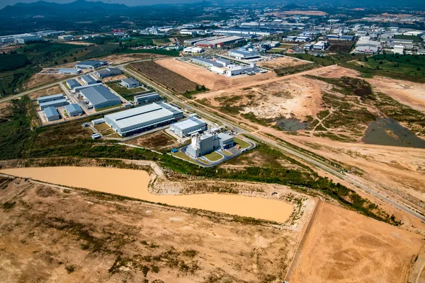
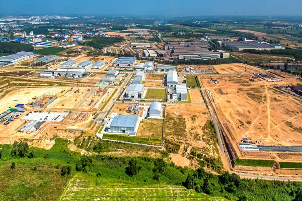
Industrial estate land development
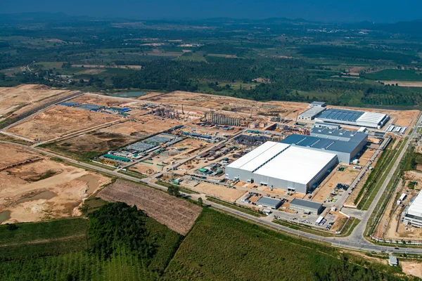
Industrial estate land development — Stock Photo, Image
New land development
New land development — Stock Photo, Image
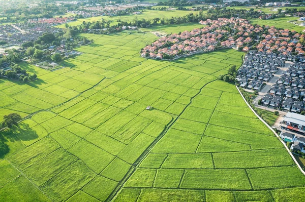
Land or landscape of green field in aerial view. Include agriculture farm, house building, village. That real estate or property. Plot of land for housing subdivision, development, sale or investment.
Land Landscape Green Field Aerial View Include Agriculture Farm House — Stock Photo, Image
Industrial estate land development
Industrial estate land development — Stock Photo, Image
Aerial view of land and positioning point area.
Aerial View Land Positioning Point Area — Stock Photo, Image
Woman showing on monitor with plan
Woman showing on monitor with plan — Stock Photo, Image
Man working in office on laptop
Man working in office on laptop — Stock Photo, Image
Excavator Loader bulldozer with big buck
Excavator Loader bulldozer with big buck — Stock Photo, Image
Architect and construction crane lifting home and safety helmet
Architect and construction crane lifting home and safety helmet — Stock Photo, Image
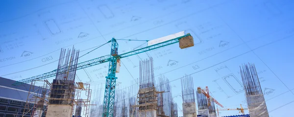
Building crane and construction site
Building crane and construction site — Stock Photo, Image
Industrial estate land development earthmoving and construction aerial view
Industrial Estate Land Development Earthmoving Construction Aerial View — Stock Photo, Image
Cadastre Land Development Map And Developer Plot
Cadastre Land Development Map Developer Plot — Stock Photo, Image
Aerial photo future site Miami Dream Mall Florida USA
Aerial photo future site Miami Dream Mall Florida USA — Stock Photo, Image
People discussing at meeting
People discussing at meeting — Stock Photo, Image
Human Hand Holding Magnifying Glass Over Cadastre Map
Human Hand Holding Magnifying Glass Cadastre Map — Stock Photo, Image
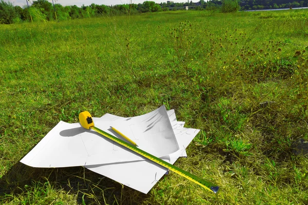
Papers and tape-measure with pencil
Papers and tape-measure with pencil — Stock Photo, Image
Metal survey peg with red flag on construction site
Metal survey peg with red flag on construction site — Stock Photo, Image
Grader
Grader — Stock Photo, Image
Architect working table and two point perspective modern buildin
Architect working table and two point perspective modern buildin — Stock Photo, Image
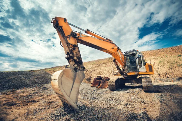
Close up details of industrial excavator working on construction site
Close up details of industrial excavator working on construction site — Stock Photo, Image
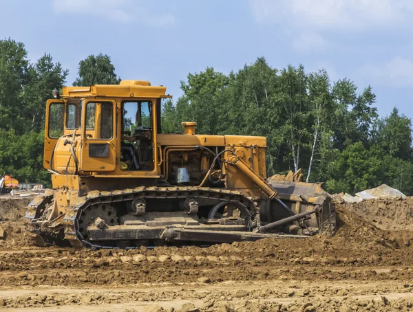
Bulldozer tractor moving soil
Bulldozer tractor moving soil — Stock Photo, Image
Planning a new city - concept image with hand drawing an imaginary cadastral map of territory with buildings, fields and roads against a green area
Planning New City Concept Image Hand Drawing Imaginary Cadastral Map — Stock Photo, Image
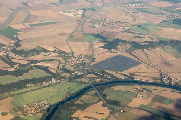
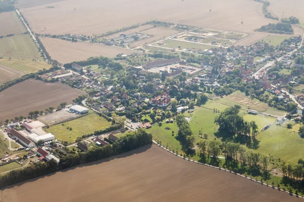
Aerial view of the land with settlement
Aerial view of the land with settlement — Stock Photo, Image
Aerial view of Varluva town closed to Kaunas in Lithuania
Aerial View Varluva Town Closed Kaunas Lithuania — Stock Photo, Image
Aerial view of the village
Aerial view of the village — Stock Photo, Image
Aerial view of home village in thailand use for land development
Aerial view of home village in thailand use for land development — Stock Photo, Image
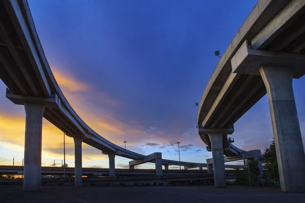
Concrete structure of express way against beautiful dusky sky us
Concrete structure of express way against beautiful dusky sky us — Stock Photo, Image
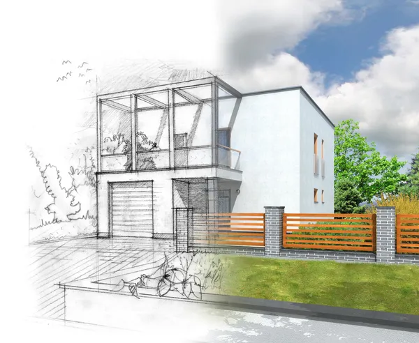
House construction concept vizualization
House construction concept vizualization — Stock Photo, Image
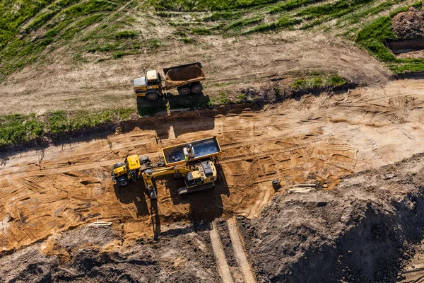
Aerial view of long arm excavator working on the field
Aerial view of long arm excavator working on the field — Stock Photo, Image
Architectural project, blueprints, blueprint rolls near checkered blank paper with pen on vintage wooden background. Construction concept. Architect workplace top view. Copy space
Architectural project, blueprints, blueprint rolls near checkered blank paper with pen on vintage wooden background. Construction concept. Architect workplace top view. Copy space — Stock Photo, Image
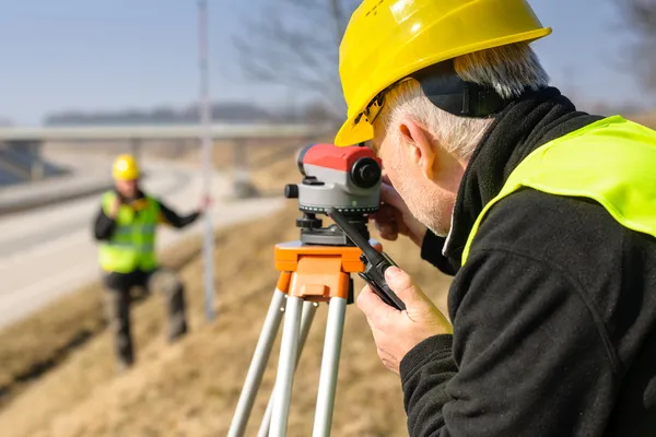
Geodesist measure land with tacheometer highway
Geodesist measure land with tacheometer highway — Stock Photo, Image
Landscape Designs Blueprints For Resort.
Landscape Designs Blueprints For Resort. — Stock Photo, Image
Threatening excavator
Threatening excavator — Stock Photo, Image
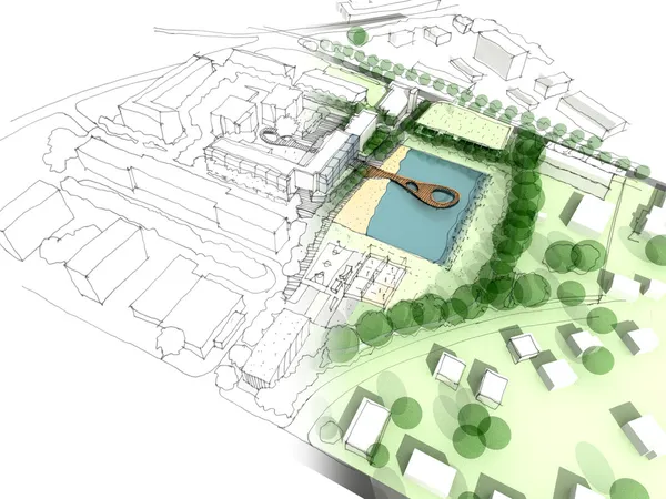
Illustration of an idea in urban design
Illustration of an idea in urban design — Stock Photo, Image
View of train window from Sapporo to Hakodate
View of train window from Sapporo to Hakodate — Stock Photo, Image
Construction of the new houses
Construction of the new houses — Stock Photo, Image
Always border fence
Always border fence — Stock Photo, Image
Crop fields by day.
Crop Fields Day — Stock Photo, Image
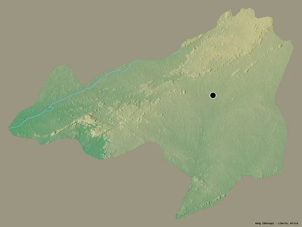
Shape of Bong, county of Liberia, with its capital isolated on a solid color background. Topographic relief map. 3D rendering
Shape Bong County Liberia Its Capital Isolated Solid Color Background — Stock Photo, Image
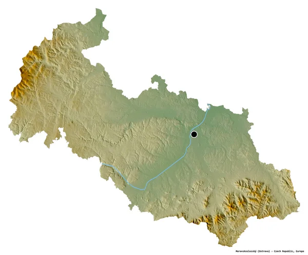
Shape of Moravskoslezsky, region of Czech Republic, with its capital isolated on white background. Topographic relief map. 3D rendering
Shape Moravskoslezsky Region Czech Republic Its Capital Isolated White Background — Stock Photo, Image
Sandstone cliffs in the Gaujas National Park, Latvia
Sandstone cliffs in the Gaujas National Park, Latvia — Stock Photo, Image
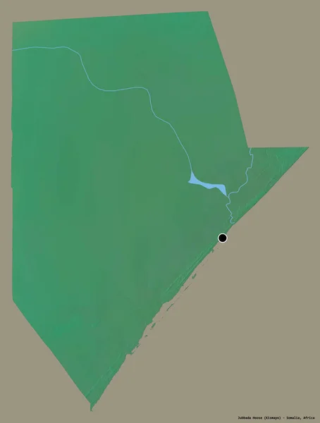
Shape of Jubbada Hoose, region of Somalia, with its capital isolated on a solid color background. Topographic relief map. 3D rendering
Shape Jubbada Hoose Region Somalia Its Capital Isolated Solid Color — Stock Photo, Image
Geometric multicolor abstract background collection
Geometric Multicolor Abstract Background Collection — Stock Photo, Image
Shape of Bueng Kan, province of Thailand, with its capital isolated on white background. Topographic relief map. 3D rendering
Shape Bueng Kan Province Thailand Its Capital Isolated White Background — Stock Photo, Image
Busan, metropolitan city of South Korea. Sentinel-2 satellite imagery. Shape isolated on solid background with informative overlays. Contains modified Copernicus Sentinel data
Busan Metropolitan City South Korea Sentinel Satellite Imagery Shape Isolated — Stock Photo, Image
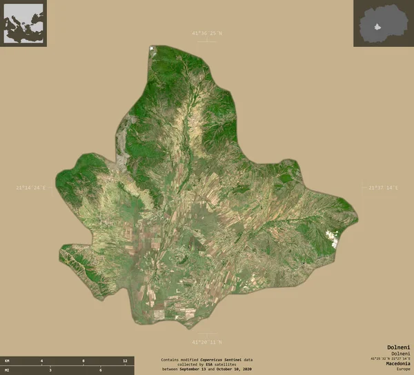
Dolneni, municipality of Macedonia. Sentinel-2 satellite imagery. Shape isolated on solid background with informative overlays. Contains modified Copernicus Sentinel data
Dolneni Municipality Macedonia Sentinel Satellite Imagery Shape Isolated Solid Background — Stock Photo, Image
Shape of Kiambu, county of Kenya, with its capital isolated on solid background. Distance scale, region preview and labels. Satellite imagery. 3D rendering
Shape Kiambu County Kenya Its Capital Isolated Solid Background Distance — Stock Photo, Image
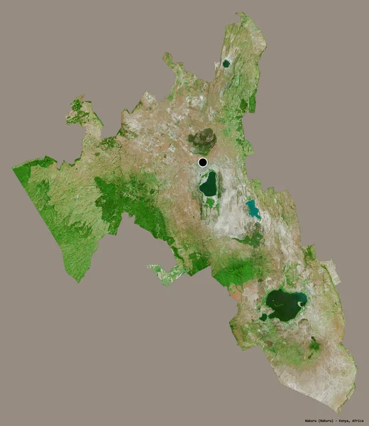
Shape of Nakuru, county of Kenya, with its capital isolated on a solid color background. Satellite imagery. 3D rendering
Shape Nakuru County Kenya Its Capital Isolated Solid Color Background — Stock Photo, Image
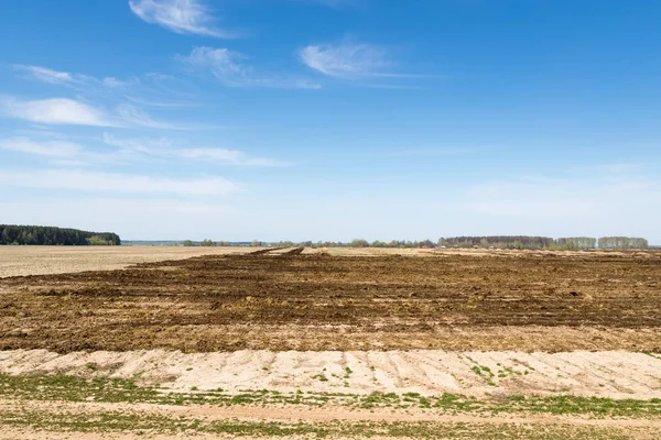
Arable land over blue sky
Arable land over blue sky — Stock Photo, Image
Shape of Ha Noi, city of Vietnam, with its capital isolated on solid background. Distance scale, region preview and labels. Satellite imagery. 3D rendering
Shape Noi City Vietnam Its Capital Isolated Solid Background Distance — Stock Photo, Image
Singerei, district of Moldova. Sentinel-2 satellite imagery. Shape isolated on solid background with informative overlays. Contains modified Copernicus Sentinel data
Singerei District Moldova Sentinel Satellite Imagery Shape Isolated Solid Background — Stock Photo, Image
Shape of odz, voivodeship of Poland, with its capital isolated on solid background. Distance scale, region preview and labels. Bilevel elevation map. 3D rendering
Shape Odz Voivodeship Poland Its Capital Isolated Solid Background Distance — Stock Photo, Image
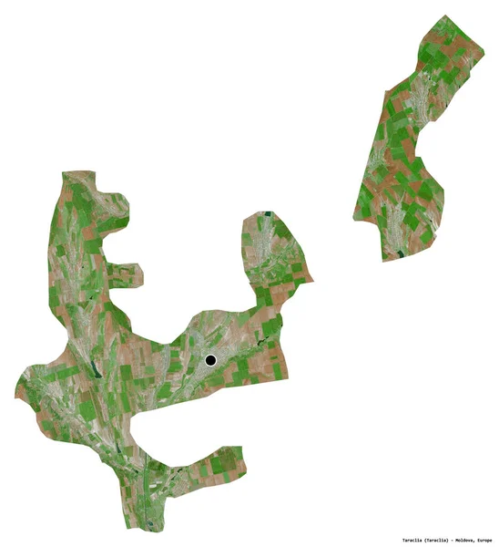
Shape of Taraclia, district of Moldova, with its capital isolated on white background. Satellite imagery. 3D rendering
Shape Taraclia District Moldova Its Capital Isolated White Background Satellite — Stock Photo, Image
Shape of Zug, canton of Switzerland, with its capital isolated on a solid color background. Satellite imagery. 3D rendering
Shape Zug Canton Switzerland Its Capital Isolated Solid Color Background — Stock Photo, Image
Ferizaj, municipality of Kosovo. High resolution satellite map. Locations of major cities of the region. Corner auxiliary location maps
Ferizaj Municipality Kosovo High Resolution Satellite Map Locations Major Cities — Stock Photo, Image
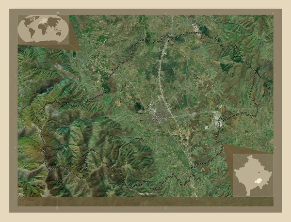
Ferizaj, municipality of Kosovo. High resolution satellite map. Corner auxiliary location maps
Ferizaj Municipality Kosovo High Resolution Satellite Map Corner Auxiliary Location — Stock Photo, Image
Shape of Managua, department of Nicaragua, with its capital isolated on a solid color background. Topographic relief map. 3D rendering
Shape Managua Department Nicaragua Its Capital Isolated Solid Color Background — Stock Photo, Image
Jura, canton of Switzerland. Sentinel-2 satellite imagery. Shape isolated on solid background with informative overlays. Contains modified Copernicus Sentinel data
Jura Canton Switzerland Sentinel Satellite Imagery Shape Isolated Solid Background — Stock Photo, Image
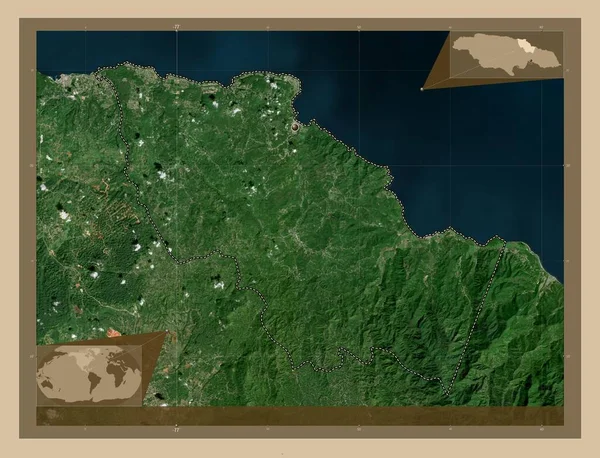
Saint Mary, parish of Jamaica. Low resolution satellite map. Corner auxiliary location maps
Saint Mary Parish Jamaica Low Resolution Satellite Map Corner Auxiliary — Stock Photo, Image
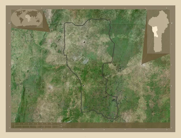
Donga, department of Benin. High resolution satellite map. Locations of major cities of the region. Corner auxiliary location maps
Donga Department Benin High Resolution Satellite Map Locations Major Cities — Stock Photo, Image
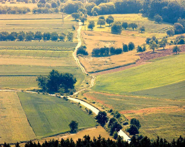
Winding path
Winding path — Stock Photo, Image
View of the Northern village on a summer day
View Northern Village Summer Day — Stock Photo, Image
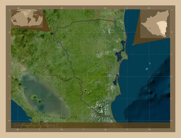
Atlantico Sur, autonomous region of Nicaragua. Low resolution satellite map. Locations of major cities of the region. Corner auxiliary location maps
Atlantico Sur Autonomous Region Nicaragua Low Resolution Satellite Map Locations — Stock Photo, Image
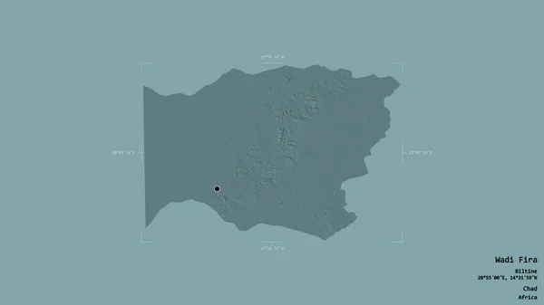
Area of Wadi Fira, region of Chad, isolated on a solid background in a georeferenced bounding box. Labels. Colored elevation map. 3D rendering
Area Wadi Fira Region Chad Isolated Solid Background Georeferenced Bounding — Stock Photo, Image
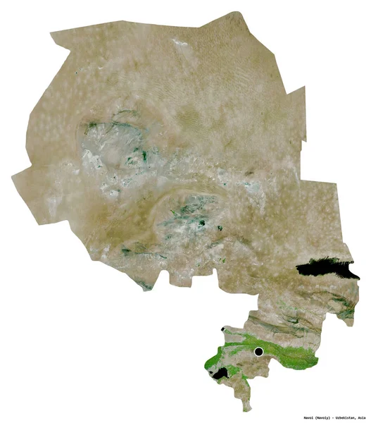
Shape of Navoi, region of Uzbekistan, with its capital isolated on white background. Satellite imagery. 3D rendering
Shape Navoi Region Uzbekistan Its Capital Isolated White Background Satellite — Stock Photo, Image
Countryside grassland in Madrid during spring day
Countryside Grassland Madrid Spring Day — Stock Photo, Image
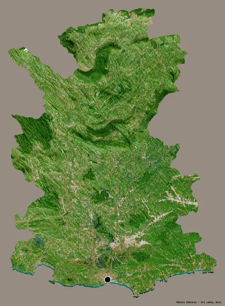
Shape of Matara, district of Sri Lanka, with its capital isolated on a solid color background. Satellite imagery. 3D rendering
Shape Matara District Sri Lanka Its Capital Isolated Solid Color — Stock Photo, Image
Houses
Houses — Stock Photo, Image
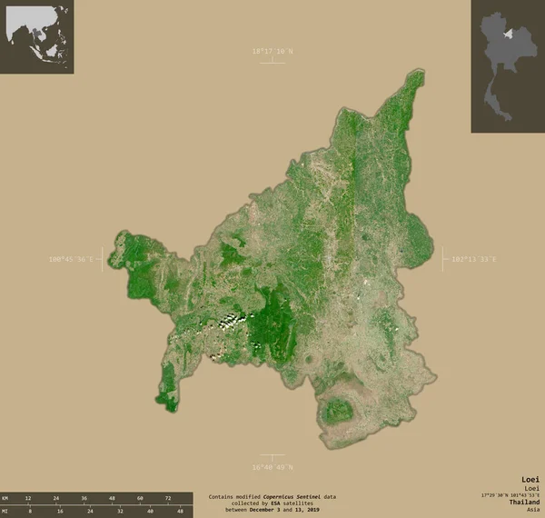
Loei, province of Thailand. Sentinel-2 satellite imagery. Shape isolated on solid background with informative overlays. Contains modified Copernicus Sentinel data
Loei Province Thailand Sentinel Satellite Imagery Shape Isolated Solid Background — Stock Photo, Image
Shape of Batha, region of Chad, with its capital isolated on a solid color background. Topographic relief map. 3D rendering
Shape Batha Region Chad Its Capital Isolated Solid Color Background — Stock Photo, Image
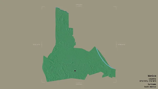
Area of Wanica, district of Suriname, isolated on a solid background in a georeferenced bounding box. Labels. Topographic relief map. 3D rendering
Area Wanica District Suriname Isolated Solid Background Georeferenced Bounding Box — Stock Photo, Image
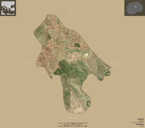
Lozovo, municipality of Macedonia. Sentinel-2 satellite imagery. Shape isolated on solid background with informative overlays. Contains modified Copernicus Sentinel data
Lozovo Municipality Macedonia Sentinel Satellite Imagery Shape Isolated Solid Background — Stock Photo, Image
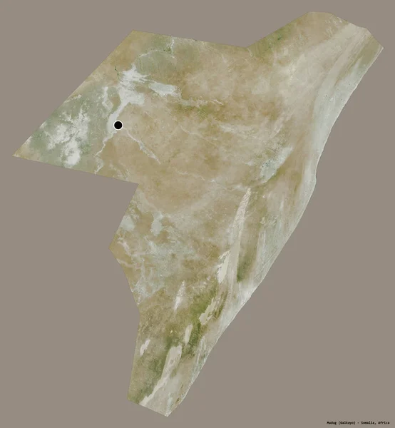
Shape of Mudug, region of Somalia, with its capital isolated on a solid color background. Satellite imagery. 3D rendering
Shape Mudug Region Somalia Its Capital Isolated Solid Color Background — Stock Photo, Image
Ingush, republic of Russia. Patterned solids with lakes and rivers. Shape presented against its country area with informative overlays. 3D rendering
Ingush Republic Russia Patterned Solids Lakes Rivers Shape Presented Its — Stock Photo, Image
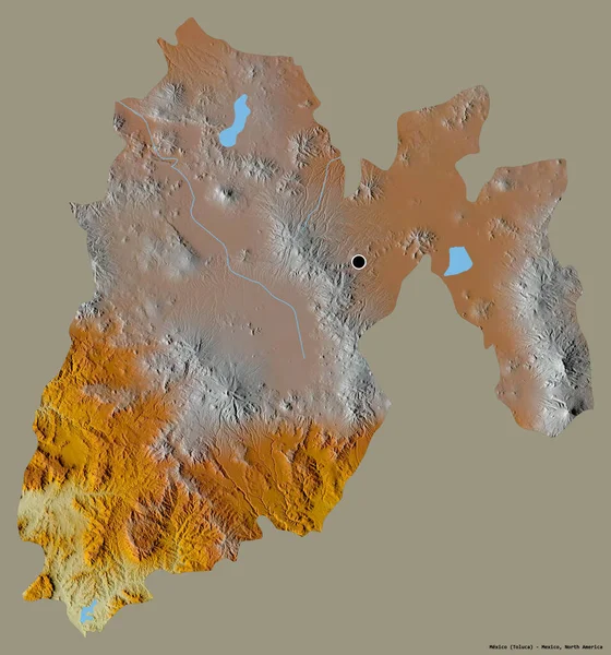
Shape of Mexico, state of Mexico, with its capital isolated on a solid color background. Topographic relief map. 3D rendering
Shape Mexico State Mexico Its Capital Isolated Solid Color Background — Stock Photo, Image
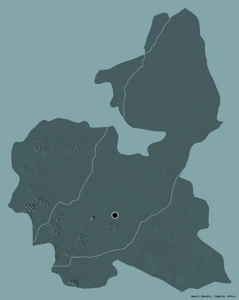
Shape of Bauchi, state of Nigeria, with its capital isolated on a solid color background. Colored elevation map. 3D rendering
Shape Bauchi State Nigeria Its Capital Isolated Solid Color Background — Stock Photo, Image

Land Development Images for Your Business Projects

Land development images are essential for any business project that involves construction or development, from real estate to engineering. These images provide a visually appealing and informative representation of the project, providing information and insight for clients, investors, and stakeholders. Here, we offer a wide range of land development images that are perfect for any project needs, from conceptual designs to finished products.

Available Images and Formats

Our stock images collection contains a variety of high-quality land development images that cover all aspects of the development process. From pre-conceptual design images to site surveys, to finished projects, we have the images you need to enhance your project presentation. Our images are available in the following formats: JPG, AI, and EPS.

Usage and Purpose

Our land development images are suitable for a variety of uses, including website content, presentation materials, and marketing documents. Our images can also be used to create technical diagrams, blueprints, and schematics. Our images are of high quality, ensuring that they will make an excellent first impression on clients and investors.

Tips for Choosing and Using Development Images

When selecting land development images, it is essential to consider the needs of your project. Choose images that best represent your project, keeping in mind factors such as location, construction materials used, and project status. The images should match the overall tone of your presentation and effectively communicate the project's vision. Make sure you choose images that are of high quality, as these images reflect the quality of your work. Lastly, use development images to support project information and to enhance the creative delivery of ideas

Conclusion

Our collection of land development images offers an array of choices for every business project, whether it be real estate, construction or engineering. Our images are of the highest quality and will make a great addition to your website, presentation materials, and marketing documents. Remember to select images that best represent your project, are of high quality and communicate your pro ject's vision. Choose our land development images, and we guarantee that your project presentation will be visually appealing, informative, and impressive.